Elevation of AR-8, Eudora, AR, USA
Location: United States > Arkansas > Chicot County > Planters Township > Eudora >
Longitude: -91.444775
Latitude: 33.120404
Elevation: 31m / 102feet
Barometric Pressure: 101KPa
Elevation Map:
Satellite Map:
Related Photos:
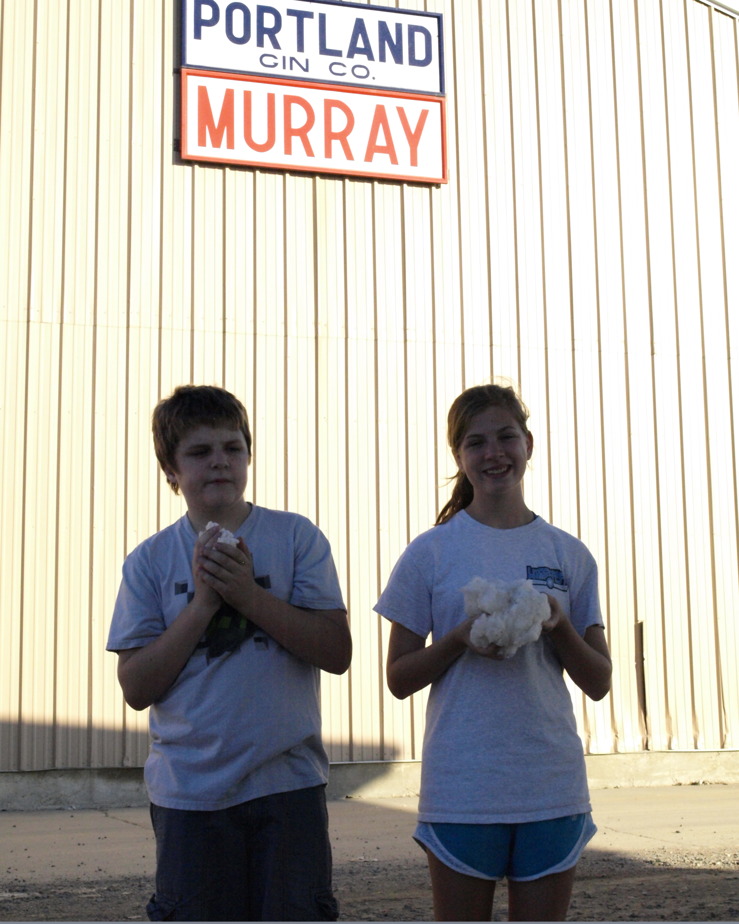
Portland Gin Company

ice cream stand
Topographic Map of AR-8, Eudora, AR, USA
Find elevation by address:

Places near AR-8, Eudora, AR, USA:
De Bastrop Township
Parkdale
AR-8, Parkdale, AR, USA
Montrose
Montrose Township
US-82, Montrose, AR, USA
US-82, Montrose, AR, USA
Banner Township
US-82, Montrose, AR, USA
Bayou Township
Ashley Rd 60, Montrose, AR, USA
LA-, Oak Grove, LA, USA
Extra Township
Ashley County
Co Rd 25, Hamburg, AR, USA
US-82, Hamburg, AR, USA
Cherry St, Forest, LA, USA
Co Rd, Hamburg, AR, USA
Carter Township
State Rte, Oak Grove, LA, USA
Recent Searches:
- Elevation of Corso Fratelli Cairoli, 35, Macerata MC, Italy
- Elevation of Tallevast Rd, Sarasota, FL, USA
- Elevation of 4th St E, Sonoma, CA, USA
- Elevation of Black Hollow Rd, Pennsdale, PA, USA
- Elevation of Oakland Ave, Williamsport, PA, USA
- Elevation of Pedrógão Grande, Portugal
- Elevation of Klee Dr, Martinsburg, WV, USA
- Elevation of Via Roma, Pieranica CR, Italy
- Elevation of Tavkvetili Mountain, Georgia
- Elevation of Hartfords Bluff Cir, Mt Pleasant, SC, USA