Elevation of AR-44, Tichnor, AR, USA
Location: United States > Arkansas > Arkansas County > Chester Township > Tichnor >
Longitude: -91.182389
Latitude: 34.1467699
Elevation: 56m / 184feet
Barometric Pressure: 0KPa
Related Photos:

Hidin' in a bowl of rice
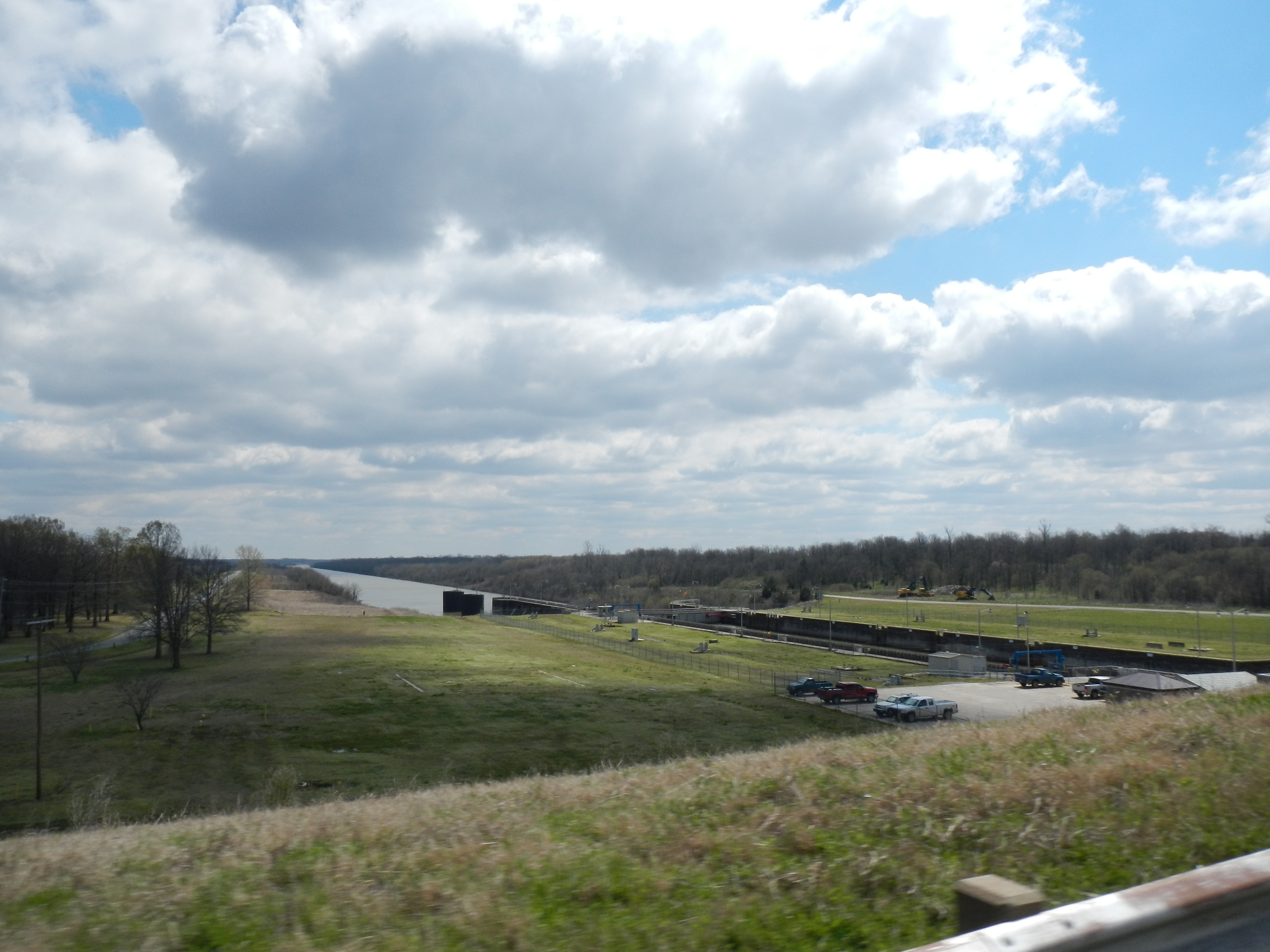
Arkansas River
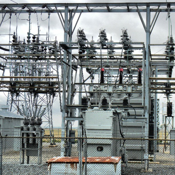
#EOT #gillette #substation #50Kv 50,000 volts wires buzzing touch it & your DOA
Topographic Map of AR-44, Tichnor, AR, USA
Find elevation by address:

Places near AR-44, Tichnor, AR, USA:
Jacks Bay Rd, Tichnor, AR, USA
Shepherd Point Ln, DeWitt, AR, USA
State Hwy 17, DeWitt, AR, USA
Tichnor
State Hwy 17, DeWitt, AR, USA
Prairie Township
Chester Township
Point Deluce Township
Arkansas County
State Hwy 17, Ethel, AR, USA
Ethel
AR-, DeWitt, AR, USA
Gillett
W Main, Gillett, AR, USA
La Grue Township
Stanley Township
1623b
Dewitt
Montgomery Point Lock & Dam (lock 99)
7th St, St Charles, AR, USA
Recent Searches:
- Elevation map of Greenland, Greenland
- Elevation of Sullivan Hill, New York, New York, 10002, USA
- Elevation of Morehead Road, Withrow Downs, Charlotte, Mecklenburg County, North Carolina, 28262, USA
- Elevation of 2800, Morehead Road, Withrow Downs, Charlotte, Mecklenburg County, North Carolina, 28262, USA
- Elevation of Yangbi Yi Autonomous County, Yunnan, China
- Elevation of Pingpo, Yangbi Yi Autonomous County, Yunnan, China
- Elevation of Mount Malong, Pingpo, Yangbi Yi Autonomous County, Yunnan, China
- Elevation map of Yongping County, Yunnan, China
- Elevation of North 8th Street, Palatka, Putnam County, Florida, 32177, USA
- Elevation of 107, Big Apple Road, East Palatka, Putnam County, Florida, 32131, USA
- Elevation of Jiezi, Chongzhou City, Sichuan, China
- Elevation of Chongzhou City, Sichuan, China
- Elevation of Huaiyuan, Chongzhou City, Sichuan, China
- Elevation of Qingxia, Chengdu, Sichuan, China
- Elevation of Corso Fratelli Cairoli, 35, Macerata MC, Italy
- Elevation of Tallevast Rd, Sarasota, FL, USA
- Elevation of 4th St E, Sonoma, CA, USA
- Elevation of Black Hollow Rd, Pennsdale, PA, USA
- Elevation of Oakland Ave, Williamsport, PA, USA
- Elevation of Pedrógão Grande, Portugal