Elevation of AR-36, Searcy, AR, USA
Location: United States > Arkansas > White County > Francure Township >
Longitude: -91.504144
Latitude: 35.155884
Elevation: 63m / 207feet
Barometric Pressure: 101KPa
Elevation Map:
Satellite Map:
Related Photos:

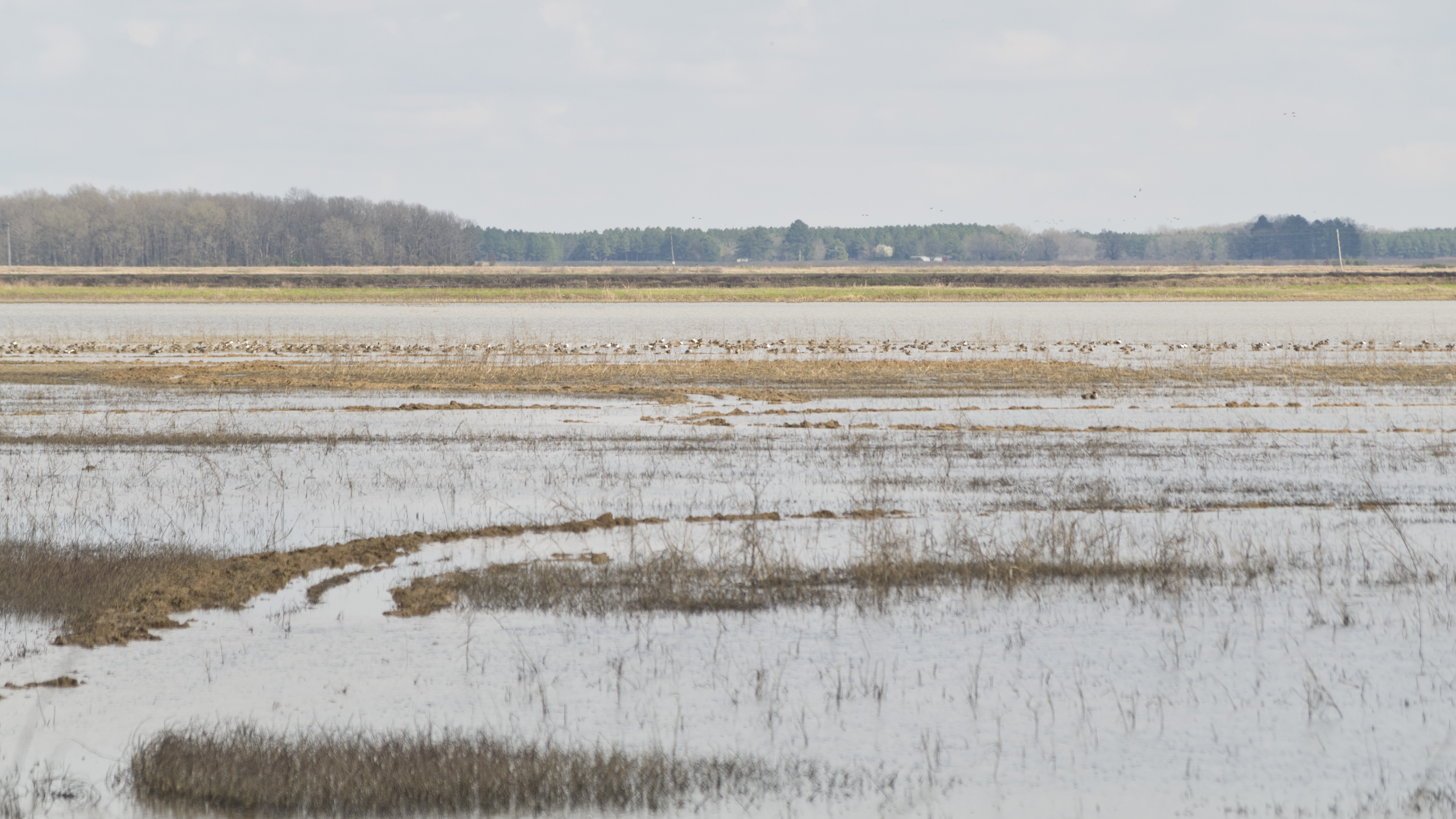
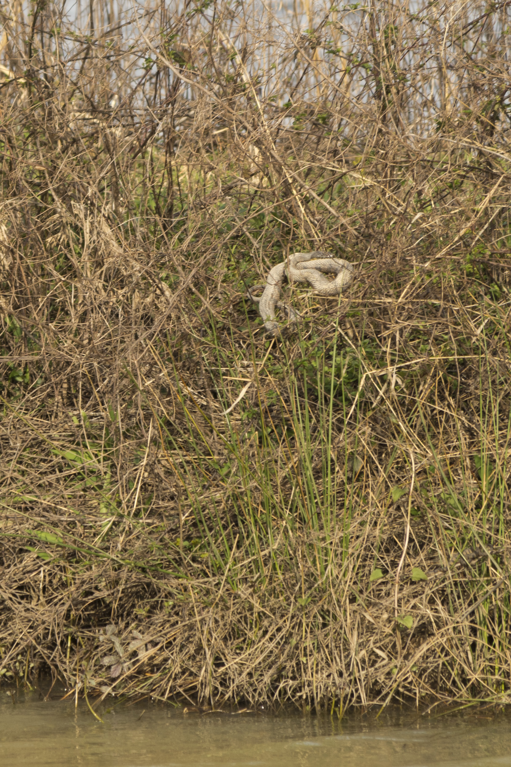
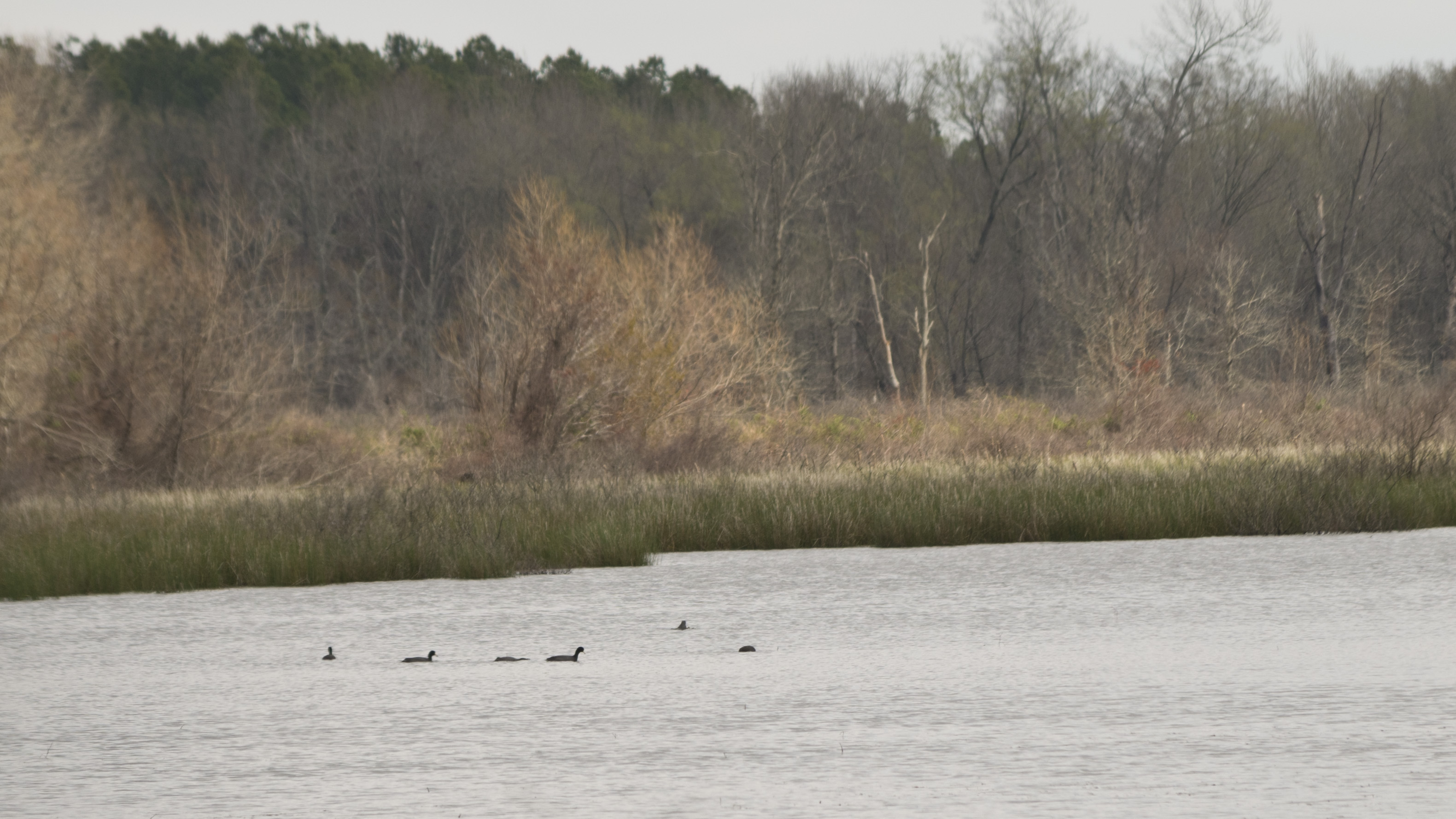
On Bollie Pond
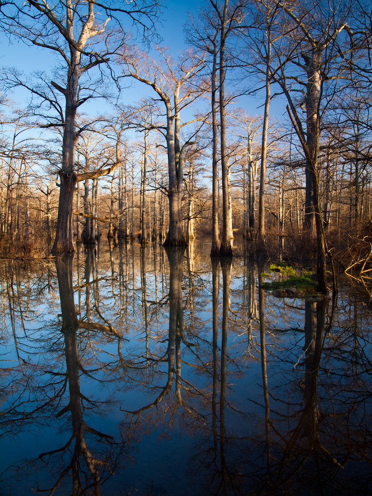
Bollie-wood

Big Bell Lake

Finding Nimmo
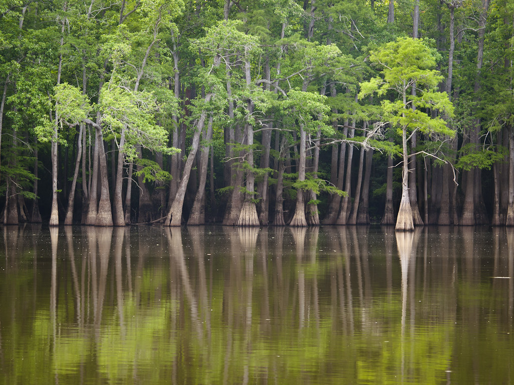
Big Bell Lake
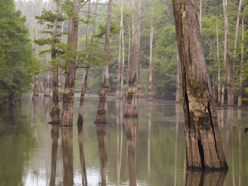
Glaise Creek
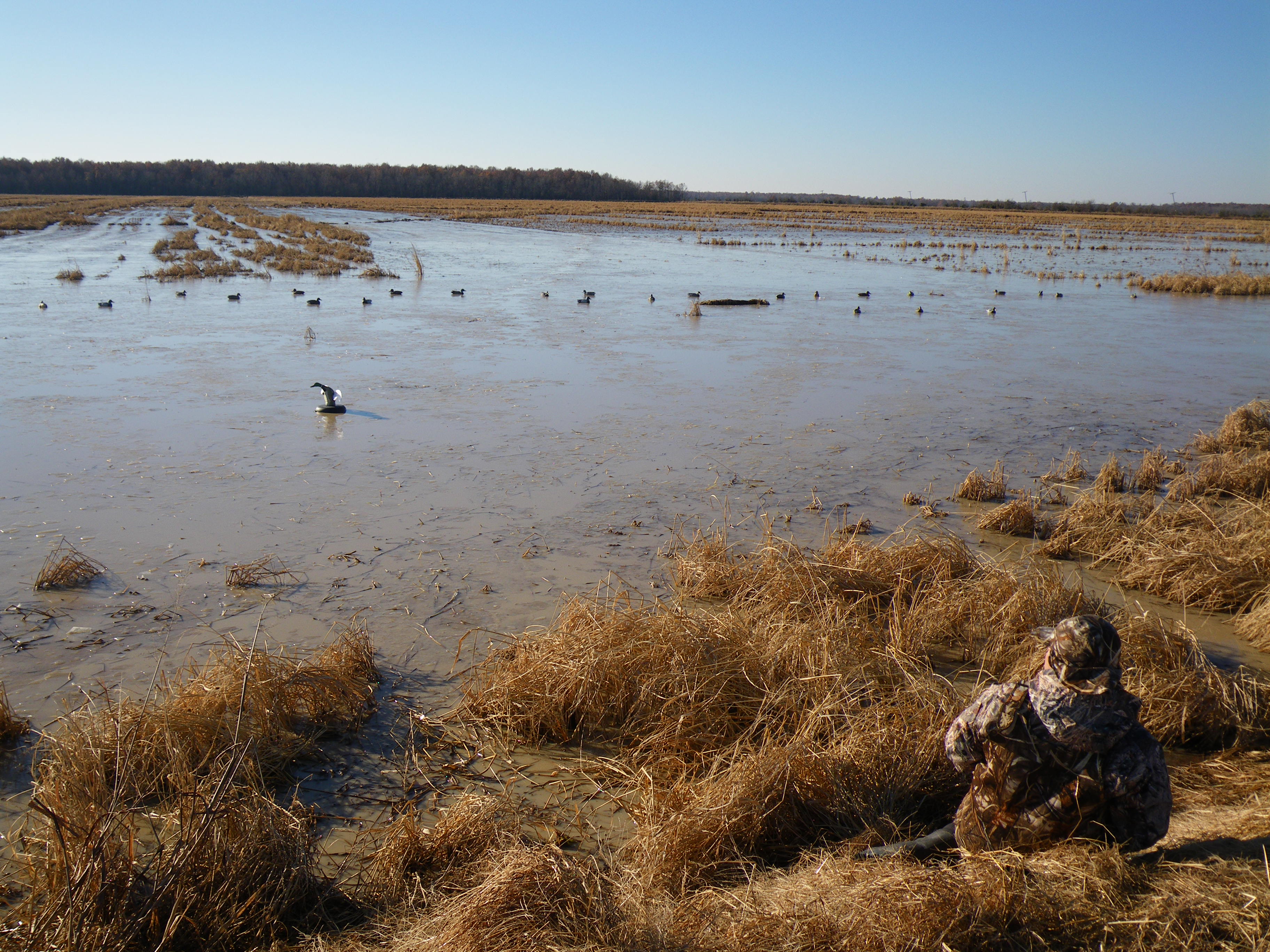
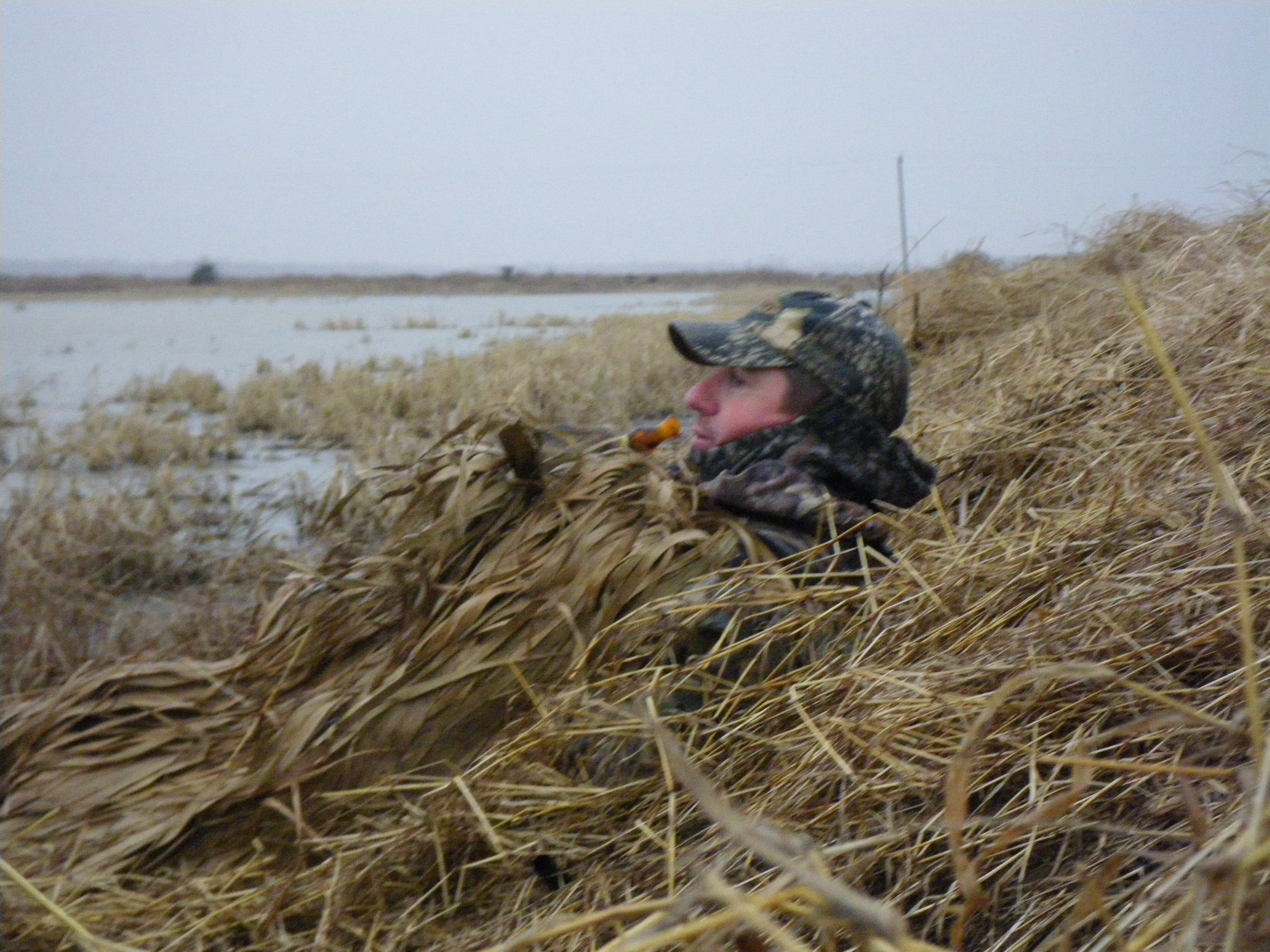
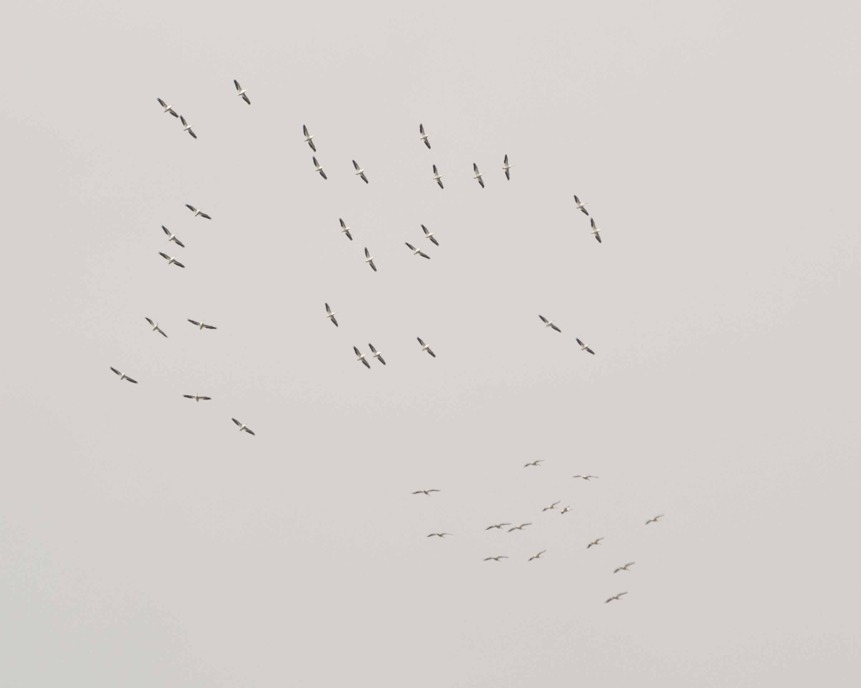
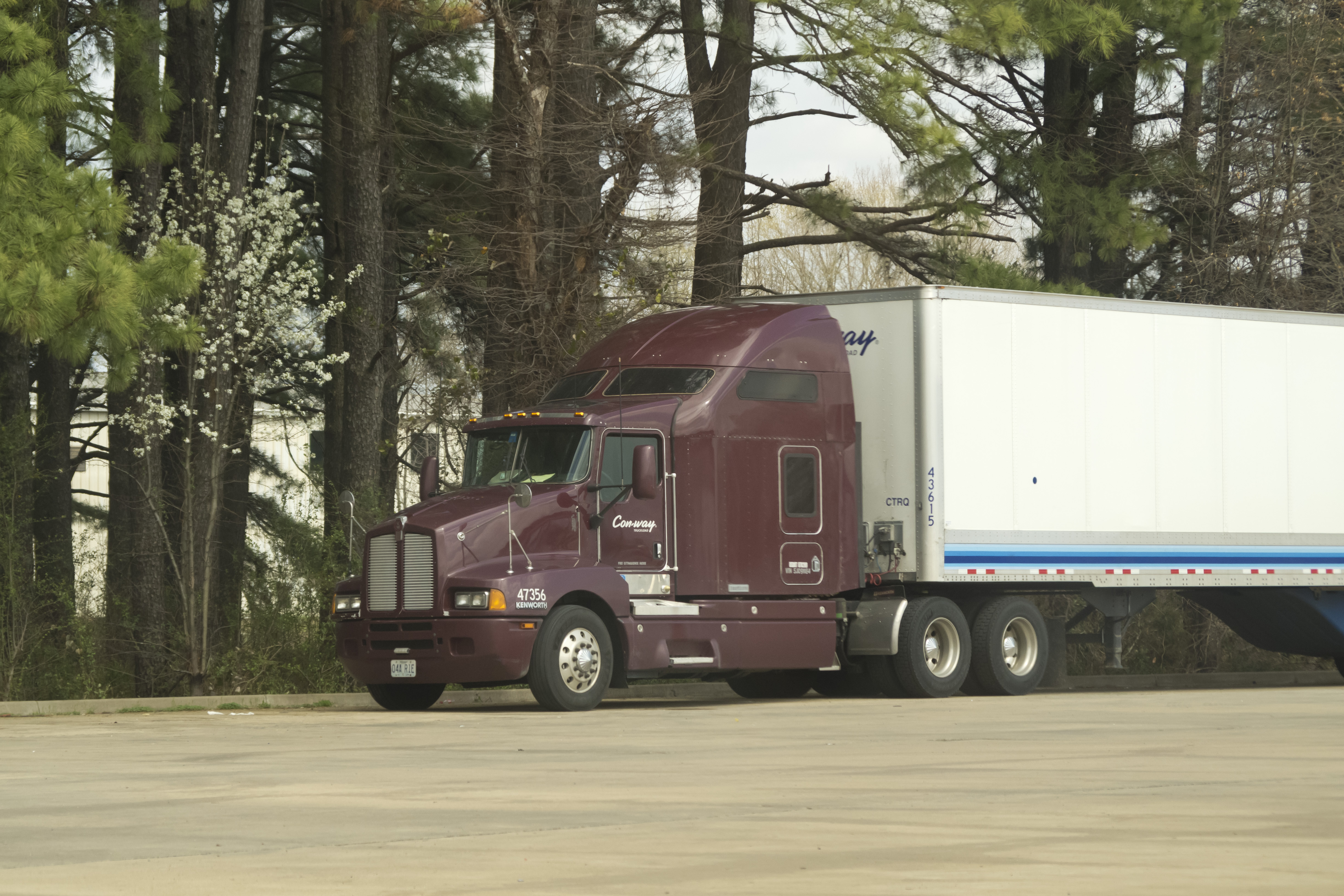
12-07-2008 8-21-37 AM_0024_Duck_Hunting_Bald_Knob
1-5-2009 8-17-17 AM_0001_Bald Knob_Jeff_Logan_Steven
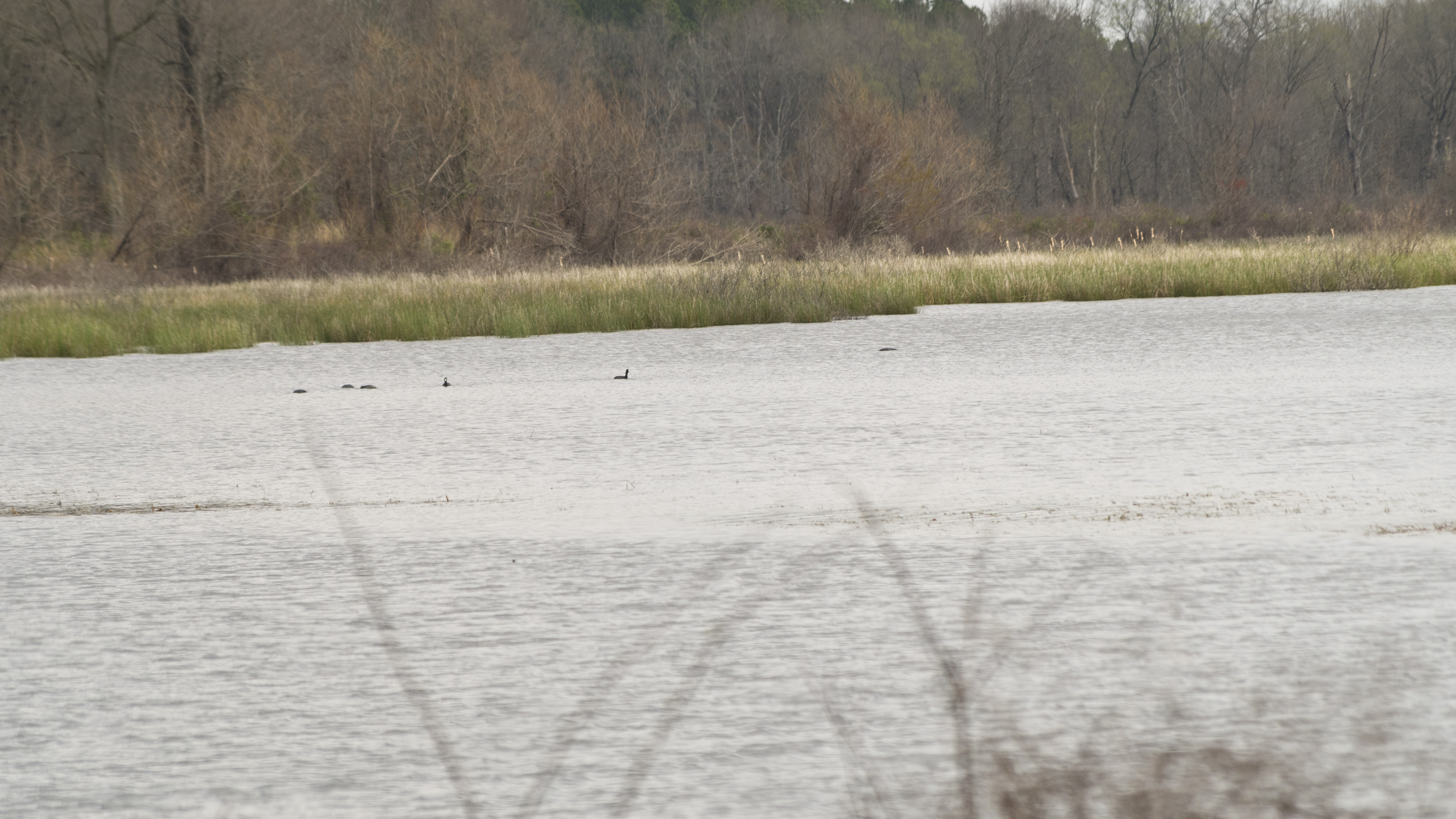
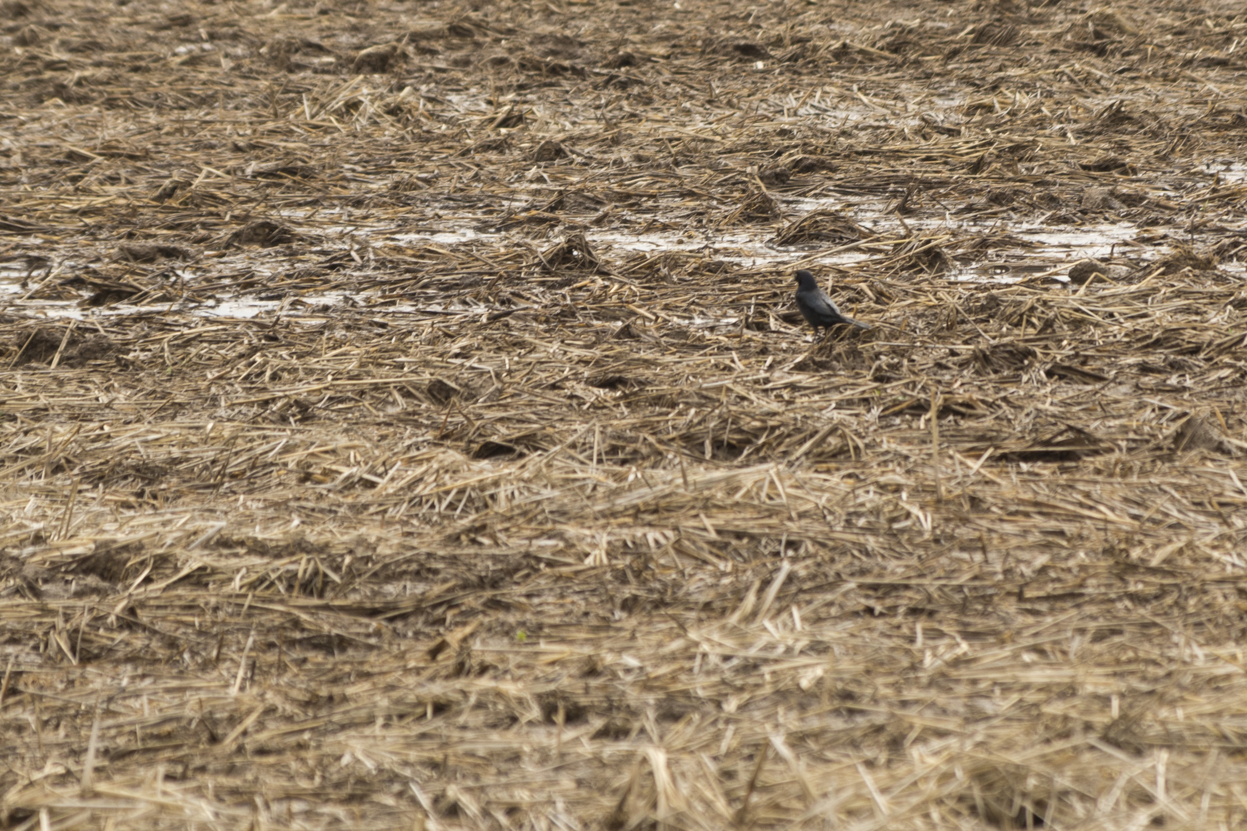
DAVE8085
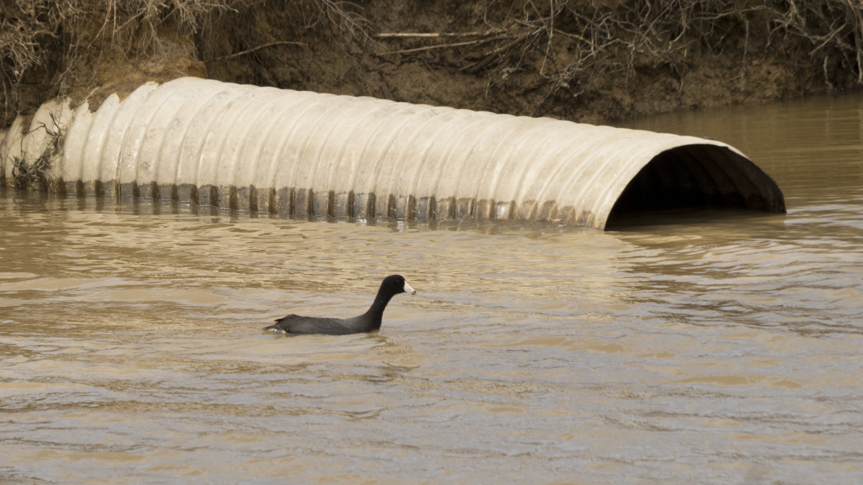
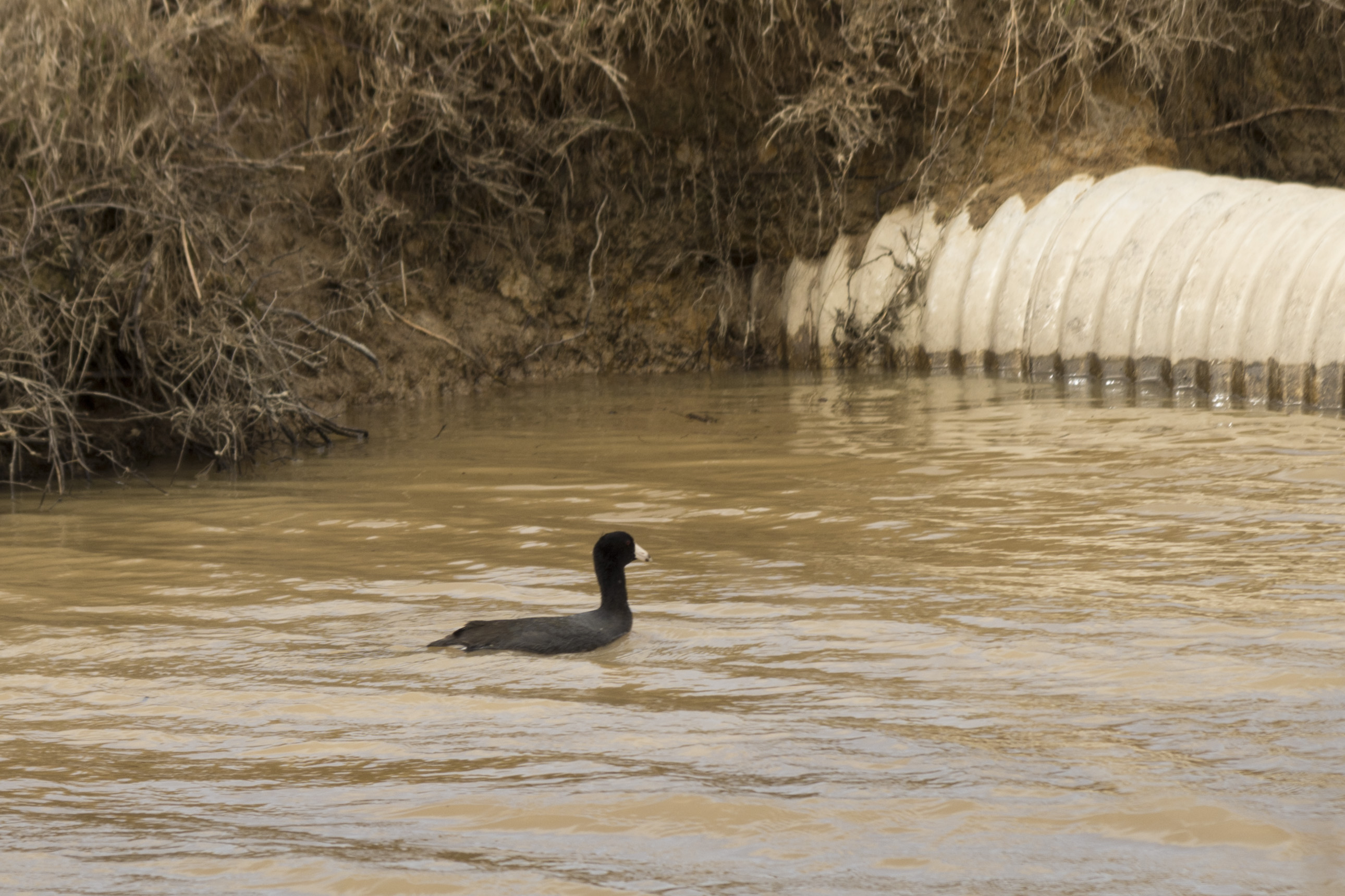
DAVE8088
DAVE8143
DAVE8214
DAVE8294

DAVE8327

IMGP0459
IMGP0462
IMGP0469
DAVE8342
DAVE8027
DAVE8036
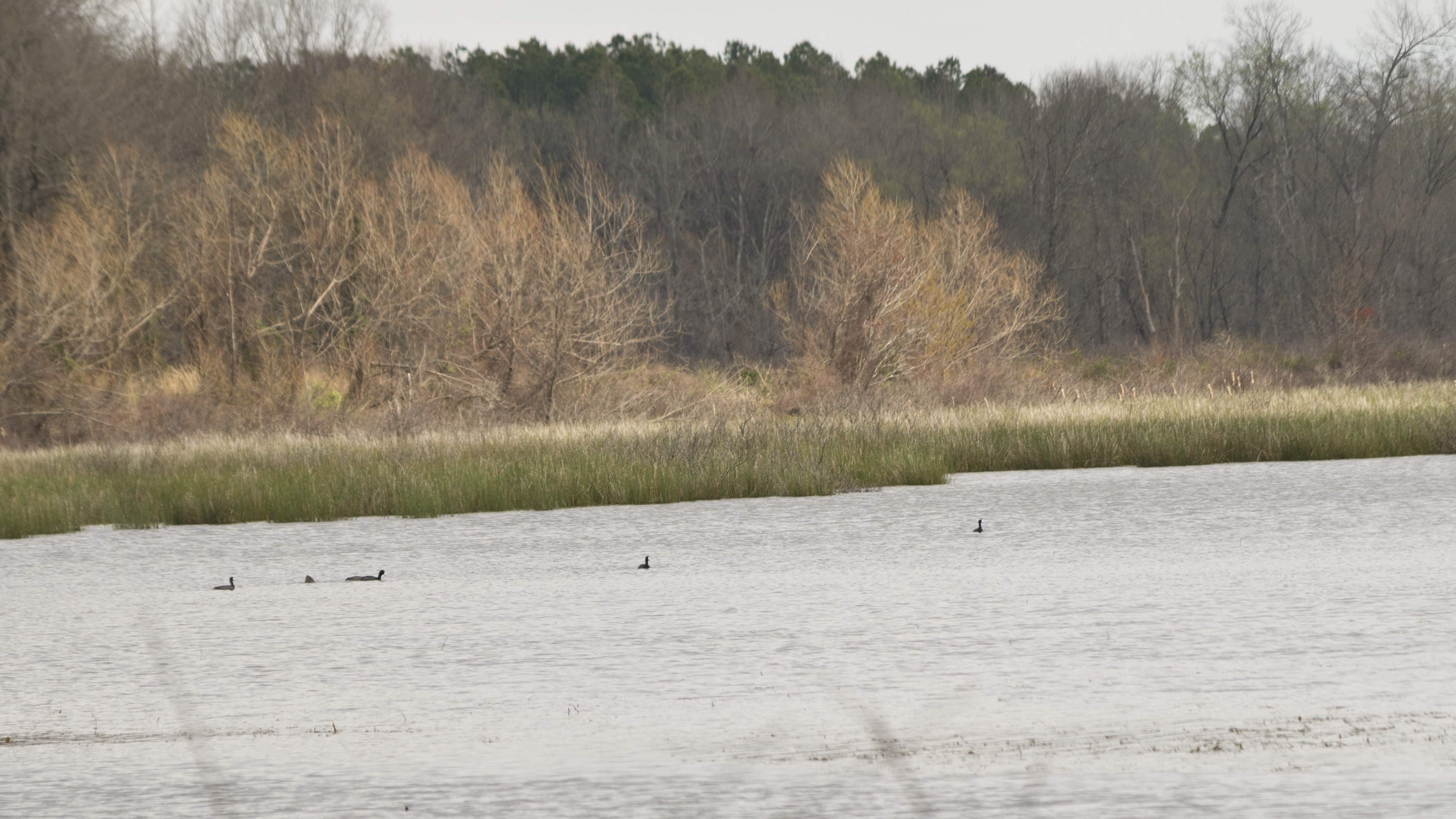
DAVE8038
DAVE8042
DAVE8057
DAVE8059
DAVE8062

DAVE8078
DAVE8092
DAVE8100
DAVE8098
Topographic Map of AR-36, Searcy, AR, USA
Find elevation by address:

Places near AR-36, Searcy, AR, USA:
Francure Township
AR-11, Searcy, AR, USA
2388 Ar-11
AR-11, Griffithville, AR, USA
Dogwood Township
AR-, Griffithville, AR, USA
Griffithville
Arkansas 33
Parson Ln, Searcy, AR, USA
Walker Township
Lewis Ln, Searcy, AR, USA
Calhoun Township
Rogers Rd, Searcy, AR, USA
Garner Township
Hickory Plain Township
AR-38, Des Arc, AR, USA
729 Lebanon Rd
Mcrae
Mcrae Township
Cypress Lane
Recent Searches:
- Elevation of Corso Fratelli Cairoli, 35, Macerata MC, Italy
- Elevation of Tallevast Rd, Sarasota, FL, USA
- Elevation of 4th St E, Sonoma, CA, USA
- Elevation of Black Hollow Rd, Pennsdale, PA, USA
- Elevation of Oakland Ave, Williamsport, PA, USA
- Elevation of Pedrógão Grande, Portugal
- Elevation of Klee Dr, Martinsburg, WV, USA
- Elevation of Via Roma, Pieranica CR, Italy
- Elevation of Tavkvetili Mountain, Georgia
- Elevation of Hartfords Bluff Cir, Mt Pleasant, SC, USA