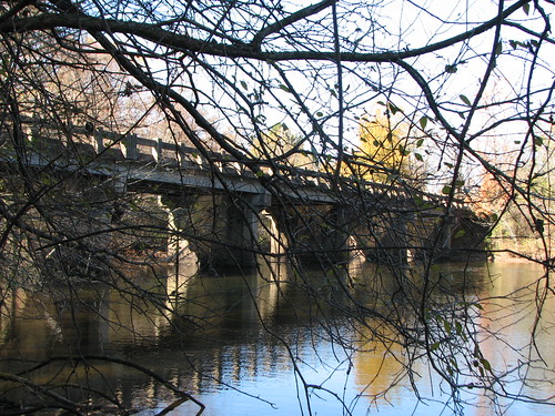
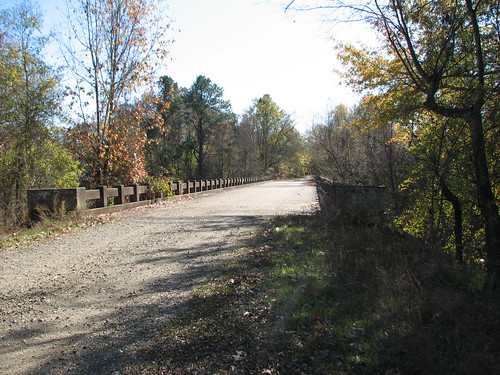
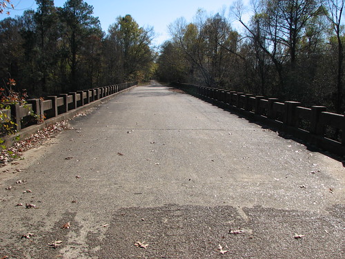
Elevation of AR-27, Mineral Springs, AR, USA
Location: United States > Arkansas > Howard County > Blue Bayou Township >
Longitude: -94.001276
Latitude: 33.8707
Elevation: 98m / 322feet
Barometric Pressure: 100KPa
Related Photos:
Topographic Map of AR-27, Mineral Springs, AR, USA
Find elevation by address:

Places near AR-27, Mineral Springs, AR, USA:
Blue Bayou Township
Mineral Springs Township
AR-27, Lockesburg, AR, USA
Mineral Springs
AR-, Lockesburg, AR, USA
County Line Township
Blue Bayou Rd, Nashville, AR, USA
Main St, Lockesburg, AR, USA
Ben Lomond Township
Ben Lomond
Buck Range Township
Okay Rd, Saratoga, AR, USA
Co Rd 2, Lockesburg, AR, USA
Saratoga Township
Cleveland Township
Buck Range Rd, Nashville, AR, USA
Saratoga
Center Point Township
705 W Hempstead St
US-59, Lockesburg, AR, USA
Recent Searches:
- Elevation of Corso Fratelli Cairoli, 35, Macerata MC, Italy
- Elevation of Tallevast Rd, Sarasota, FL, USA
- Elevation of 4th St E, Sonoma, CA, USA
- Elevation of Black Hollow Rd, Pennsdale, PA, USA
- Elevation of Oakland Ave, Williamsport, PA, USA
- Elevation of Pedrógão Grande, Portugal
- Elevation of Klee Dr, Martinsburg, WV, USA
- Elevation of Via Roma, Pieranica CR, Italy
- Elevation of Tavkvetili Mountain, Georgia
- Elevation of Hartfords Bluff Cir, Mt Pleasant, SC, USA
