Elevation of AR-16, Pettigrew, AR, USA
Location: United States > Arkansas > Madison County > Kentucky Township > Pettigrew >
Longitude: -93.643379
Latitude: 35.819783
Elevation: 604m / 1982feet
Barometric Pressure: 0KPa
Related Photos:
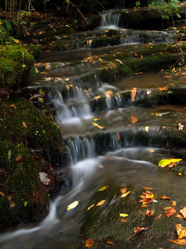
A hint of fall
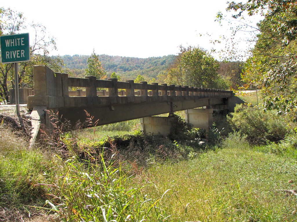
Side View-White River Bridge

colors of nature

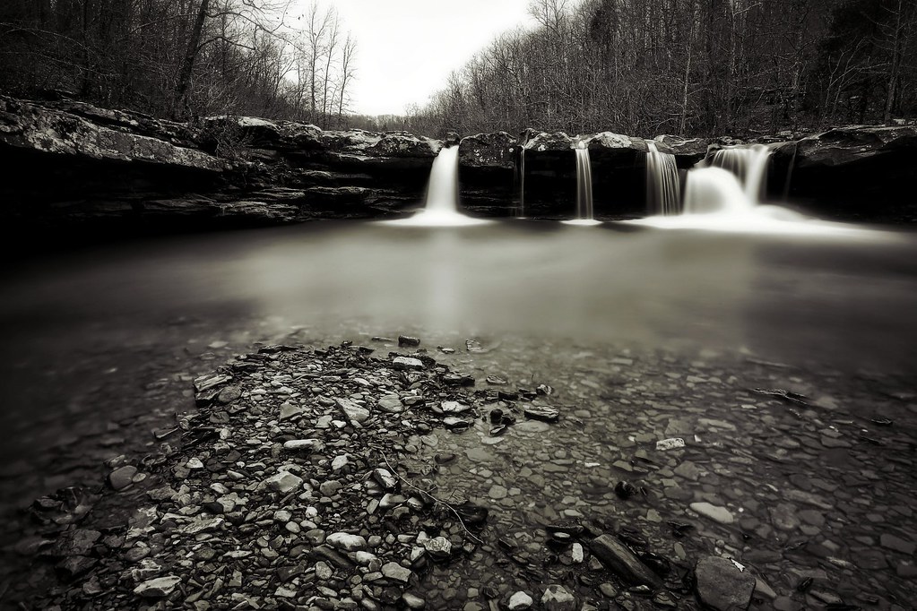
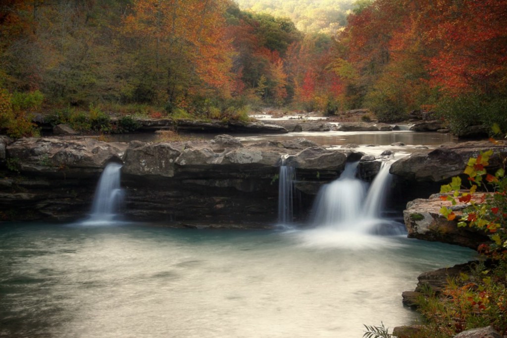
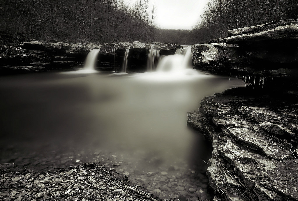
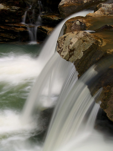
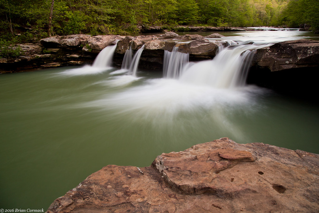
Kings River Falls
Kings River Falls

Kings River Falls
Kings River Falls

The Photographer
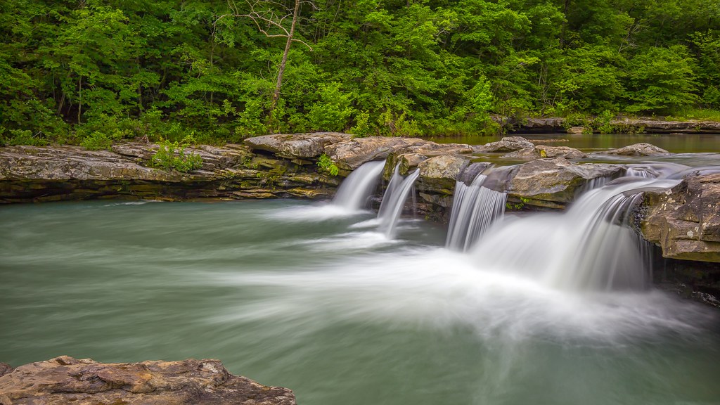
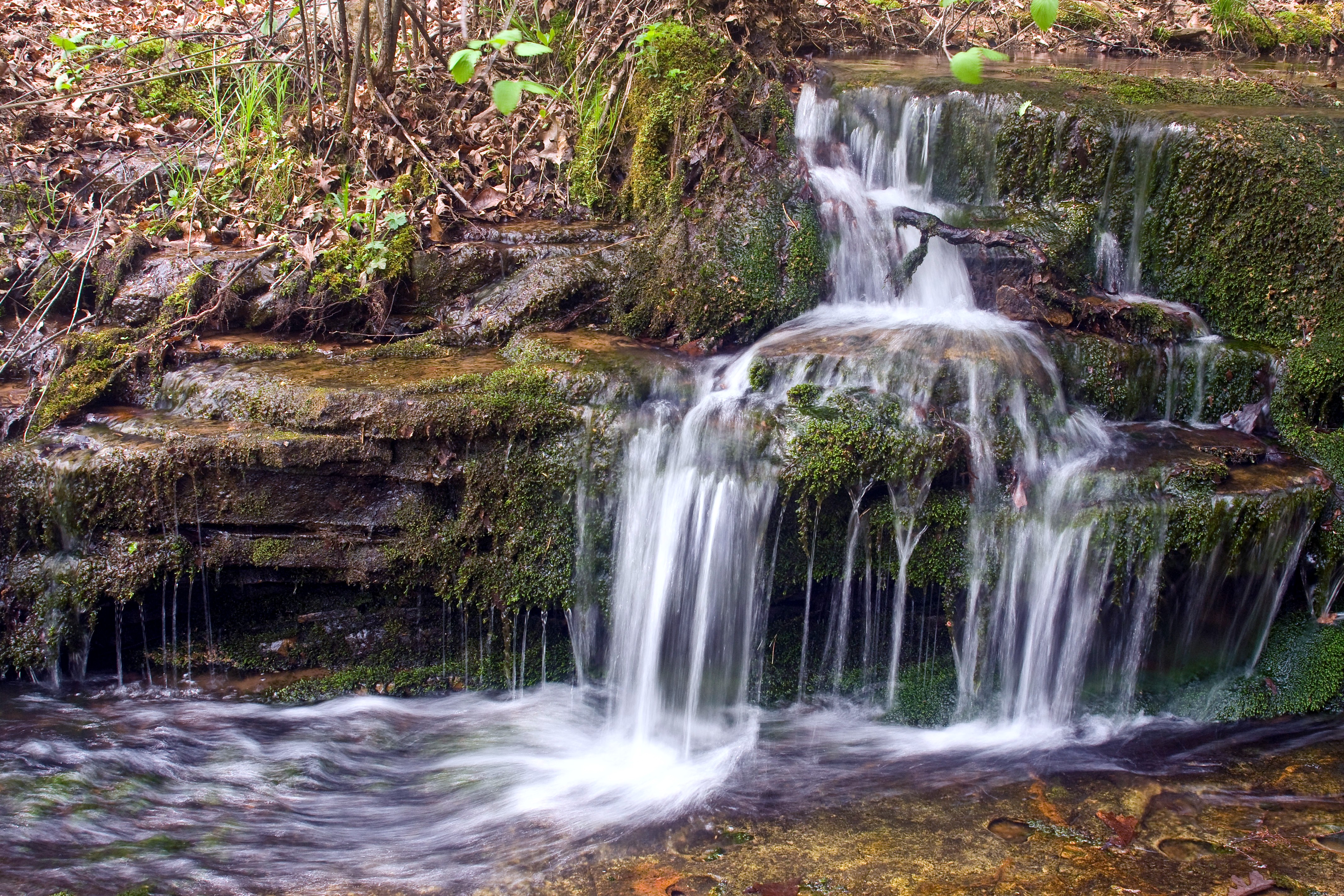
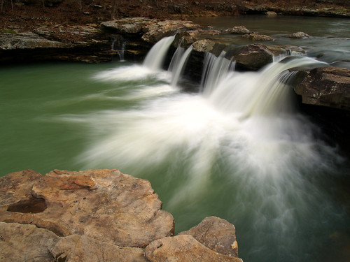
Kings River Falls

Kings River Falls again

Kings River Falls
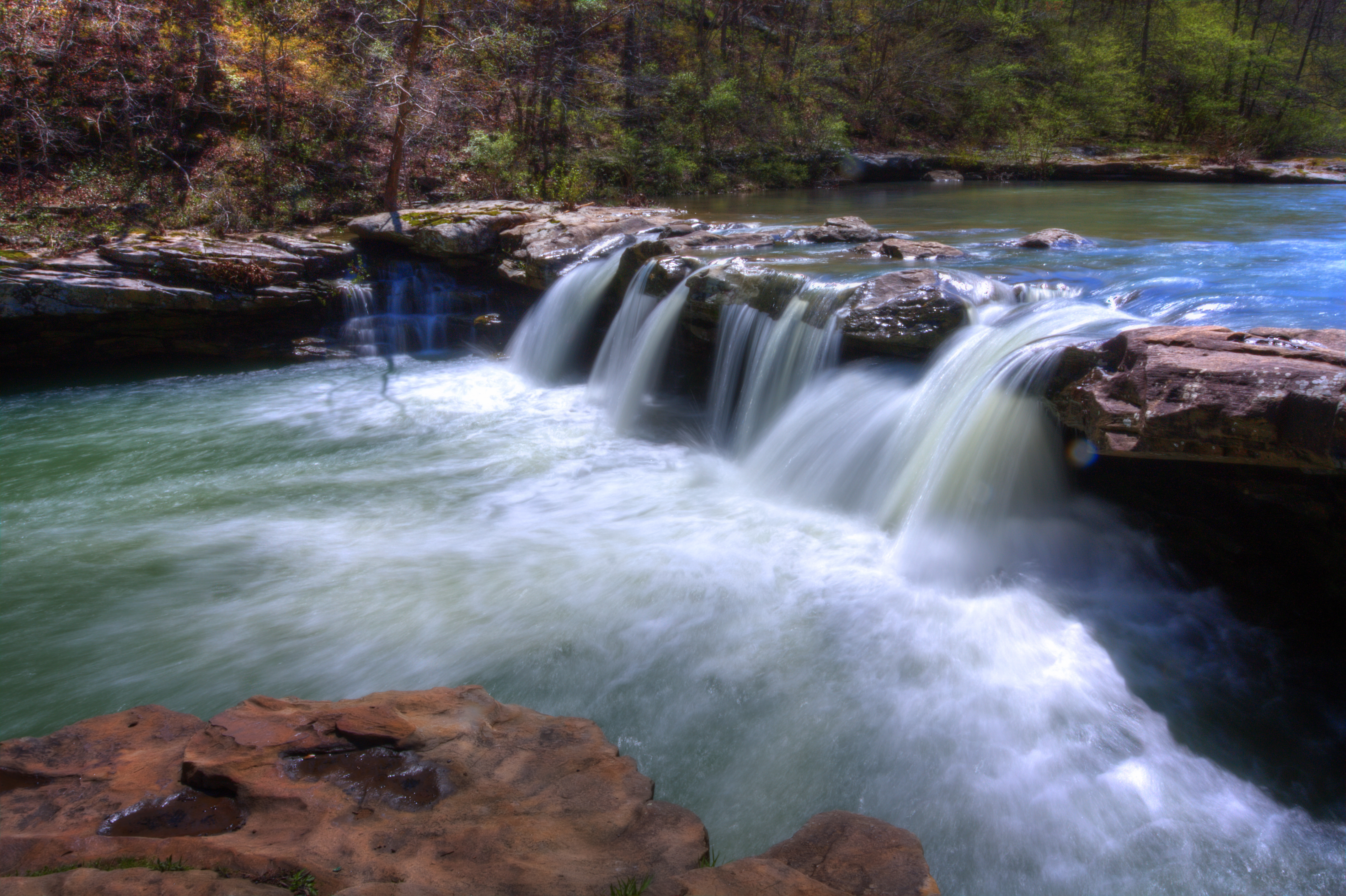
Kings River Falls in color
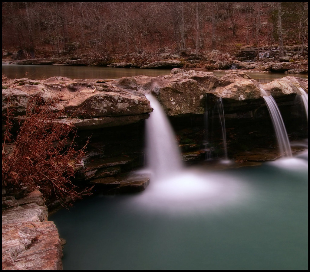
Kings River Falls
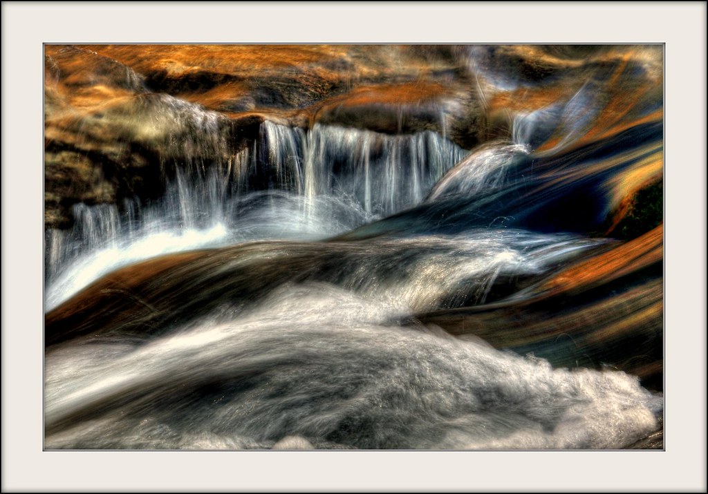
T U R B U L E N C E
Kings River Falls
Kings River (11)
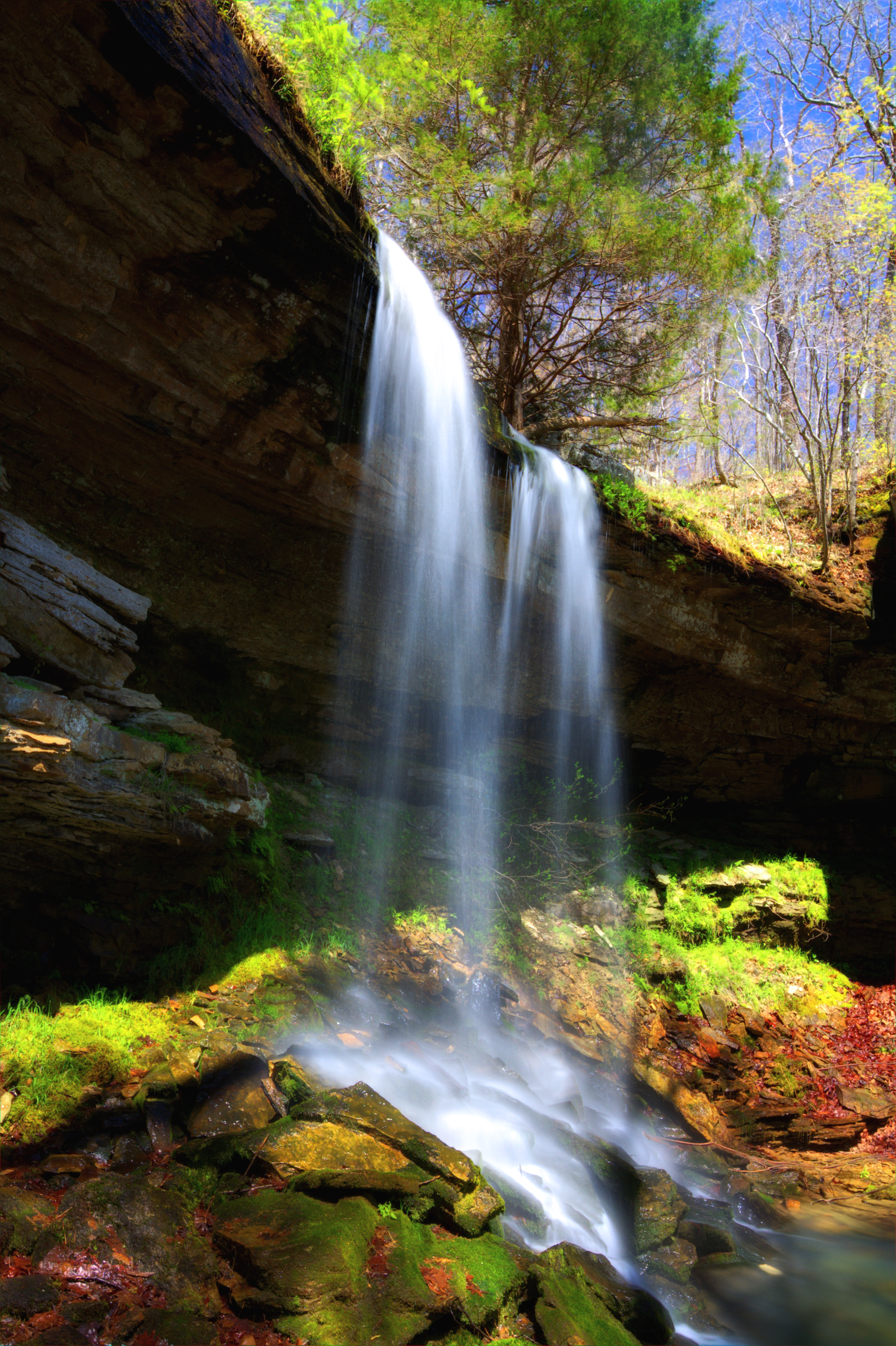
Treasure Falls {Explore}
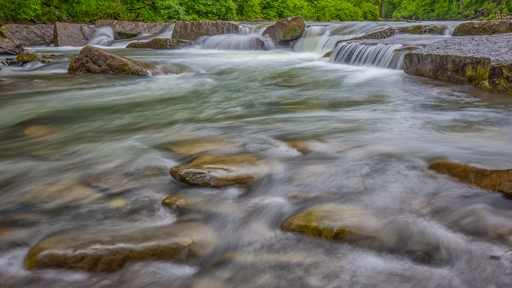
Kings River
Kings River Falls
Kings River Falls
Kings River Falls
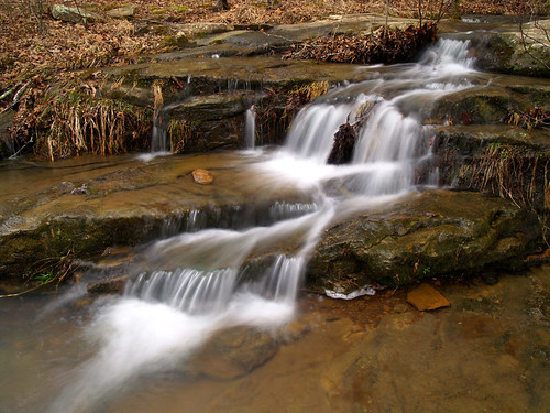
Kings River cascade
Topographic Map of AR-16, Pettigrew, AR, USA
Find elevation by address:

Places near AR-16, Pettigrew, AR, USA:
Pettigrew
Garrett Mountain
1444 Madison 4685
970 Madison 3700
100 Co Rd 3259
Kentucky Township
2162 Madison 4845
26504 Ar-16
Boston
Madison, St Paul, AR, USA
299 Madison 4310
Boston Township
Co Rd, Pettigrew, AR, USA
Dickerson-hill Township
Ar-16 & Ar-23
Saint Paul
AR-23, St Paul, AR, USA
Hilburn Township
1047 Co Rd 5099
1047 Co Rd 5099
Recent Searches:
- Elevation map of Greenland, Greenland
- Elevation of Sullivan Hill, New York, New York, 10002, USA
- Elevation of Morehead Road, Withrow Downs, Charlotte, Mecklenburg County, North Carolina, 28262, USA
- Elevation of 2800, Morehead Road, Withrow Downs, Charlotte, Mecklenburg County, North Carolina, 28262, USA
- Elevation of Yangbi Yi Autonomous County, Yunnan, China
- Elevation of Pingpo, Yangbi Yi Autonomous County, Yunnan, China
- Elevation of Mount Malong, Pingpo, Yangbi Yi Autonomous County, Yunnan, China
- Elevation map of Yongping County, Yunnan, China
- Elevation of North 8th Street, Palatka, Putnam County, Florida, 32177, USA
- Elevation of 107, Big Apple Road, East Palatka, Putnam County, Florida, 32131, USA
- Elevation of Jiezi, Chongzhou City, Sichuan, China
- Elevation of Chongzhou City, Sichuan, China
- Elevation of Huaiyuan, Chongzhou City, Sichuan, China
- Elevation of Qingxia, Chengdu, Sichuan, China
- Elevation of Corso Fratelli Cairoli, 35, Macerata MC, Italy
- Elevation of Tallevast Rd, Sarasota, FL, USA
- Elevation of 4th St E, Sonoma, CA, USA
- Elevation of Black Hollow Rd, Pennsdale, PA, USA
- Elevation of Oakland Ave, Williamsport, PA, USA
- Elevation of Pedrógão Grande, Portugal