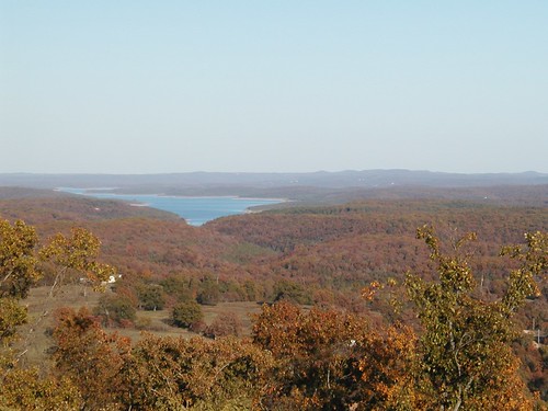
Elevation of AR-14, Lead Hill, AR, USA
Location: United States > Arkansas > Boone County > Sugar Loaf Township > Lead Hill >
Longitude: -92.962058
Latitude: 36.444175
Elevation: 217m / 712feet
Barometric Pressure: 99KPa
Related Photos:
Topographic Map of AR-14, Lead Hill, AR, USA
Find elevation by address:

Places near AR-14, Lead Hill, AR, USA:
Sugar Loaf Township
327 W Pine St
Lead Hill
379 Ar-14
Downes Rd E, Lead Hill, AR, USA
2904 Moark Rd
Ricks Drive
Minnow Dr W, Omaha, AR, USA
353 State Hwy Oo
4799 Tar Kiln Rd E
4799 Tar Kiln Rd E
Cedar Creek Township
Elixir Township
2376 New Test Church Dr
Protem
Bergman St E, Harrison, AR, USA
AR-14, Yellville, AR, USA
Bergman
Sugarloaf Township
4646 Ar-14
Recent Searches:
- Elevation of Corso Fratelli Cairoli, 35, Macerata MC, Italy
- Elevation of Tallevast Rd, Sarasota, FL, USA
- Elevation of 4th St E, Sonoma, CA, USA
- Elevation of Black Hollow Rd, Pennsdale, PA, USA
- Elevation of Oakland Ave, Williamsport, PA, USA
- Elevation of Pedrógão Grande, Portugal
- Elevation of Klee Dr, Martinsburg, WV, USA
- Elevation of Via Roma, Pieranica CR, Italy
- Elevation of Tavkvetili Mountain, Georgia
- Elevation of Hartfords Bluff Cir, Mt Pleasant, SC, USA


