Elevation of AR-10, Greenwood, AR, USA
Location: United States > Arkansas > Sebastian County > Center Township > Greenwood >
Longitude: -94.188131
Latitude: 35.1882019
Elevation: 197m / 646feet
Barometric Pressure: 99KPa
Elevation Map:
Satellite Map:
Related Photos:
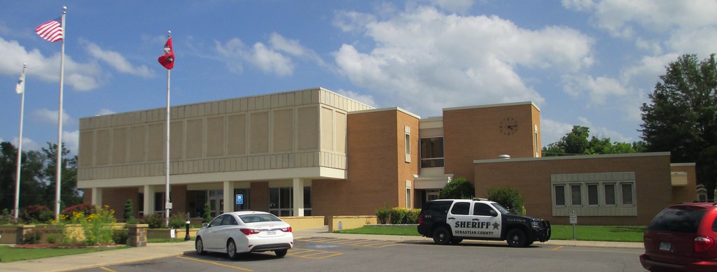
Sebastian County Courthouse (Greenwood, Arkansas)
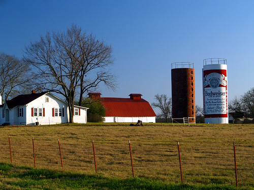
This Buds For You
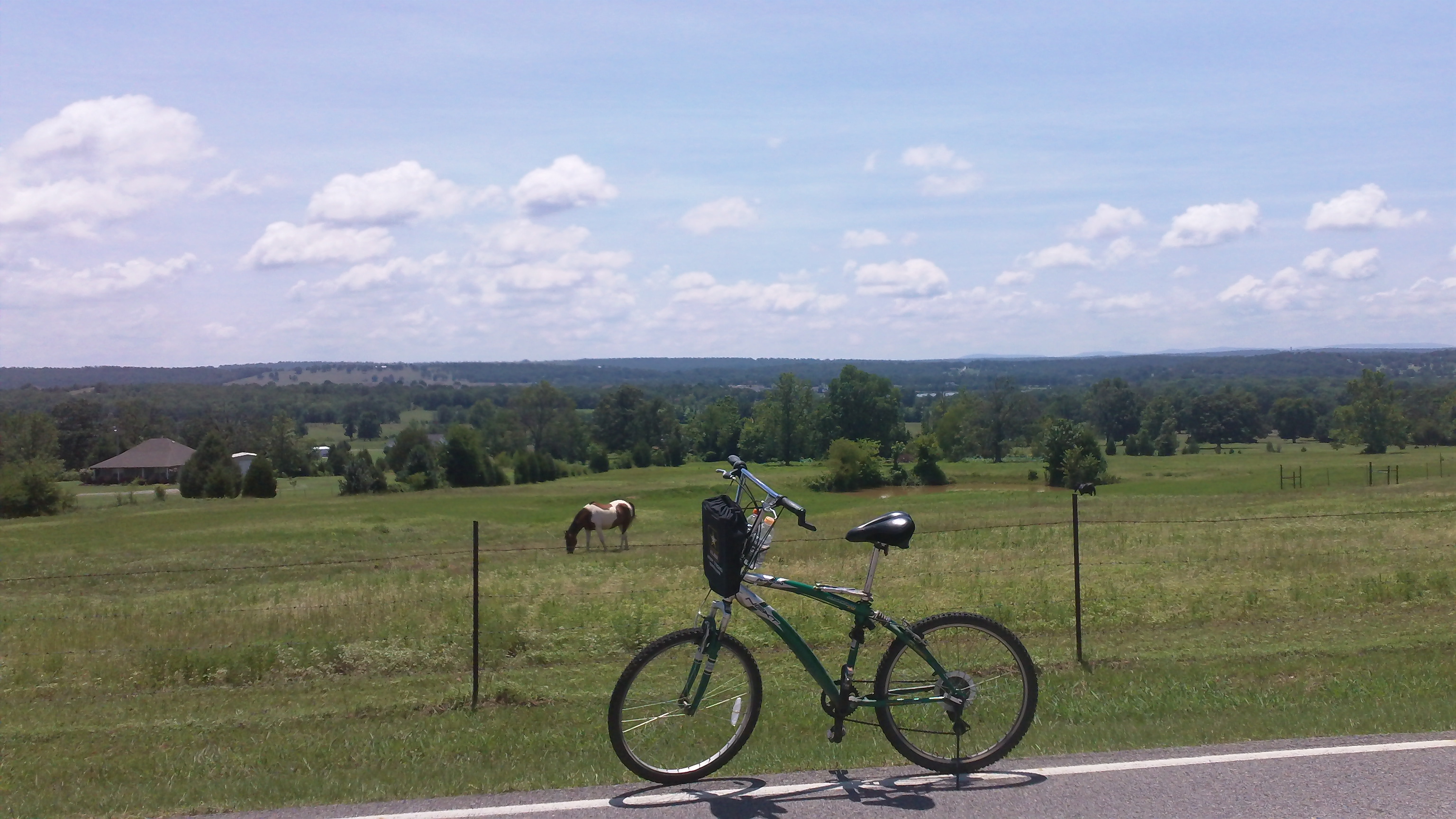
cycling with horses
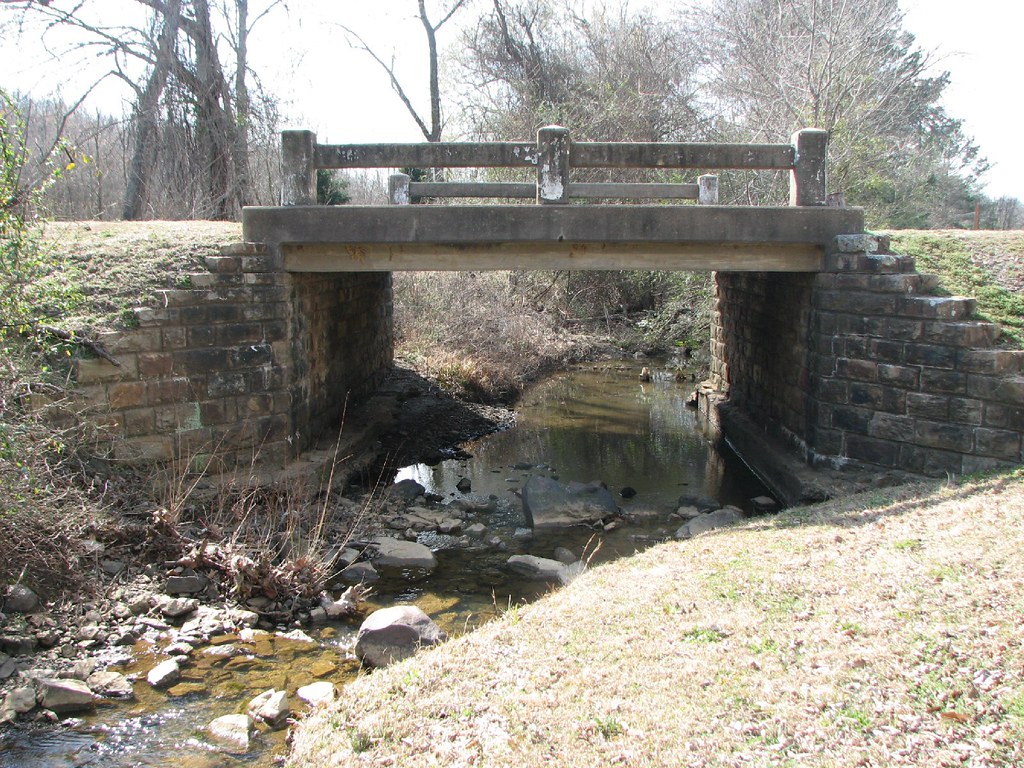
Bear Creek-Side View

Overnight rain
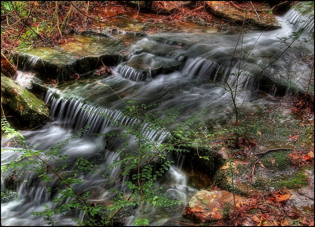
Kenny's Creek
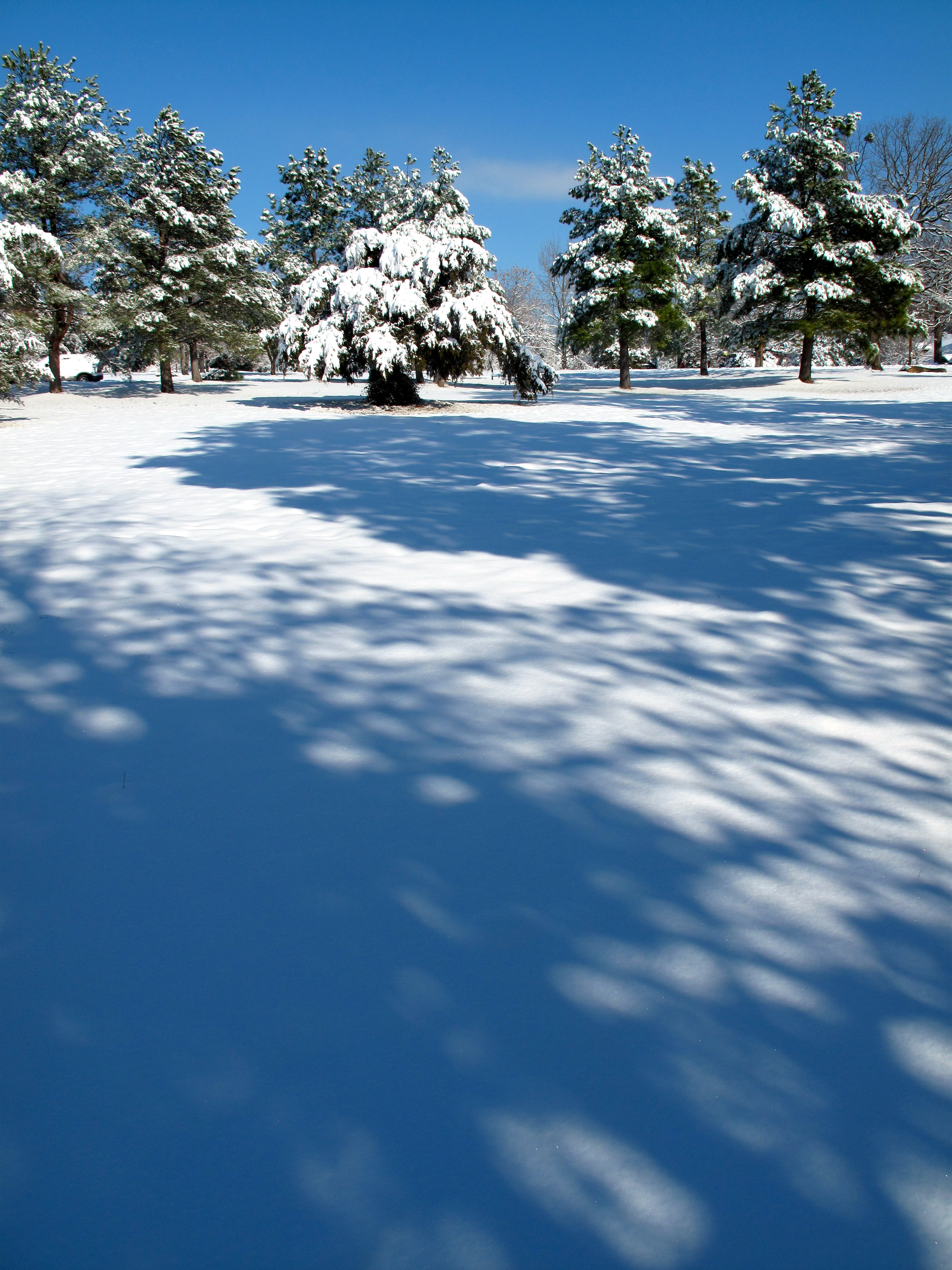
Snow Land

Cotton Candy Sky
Across the Road
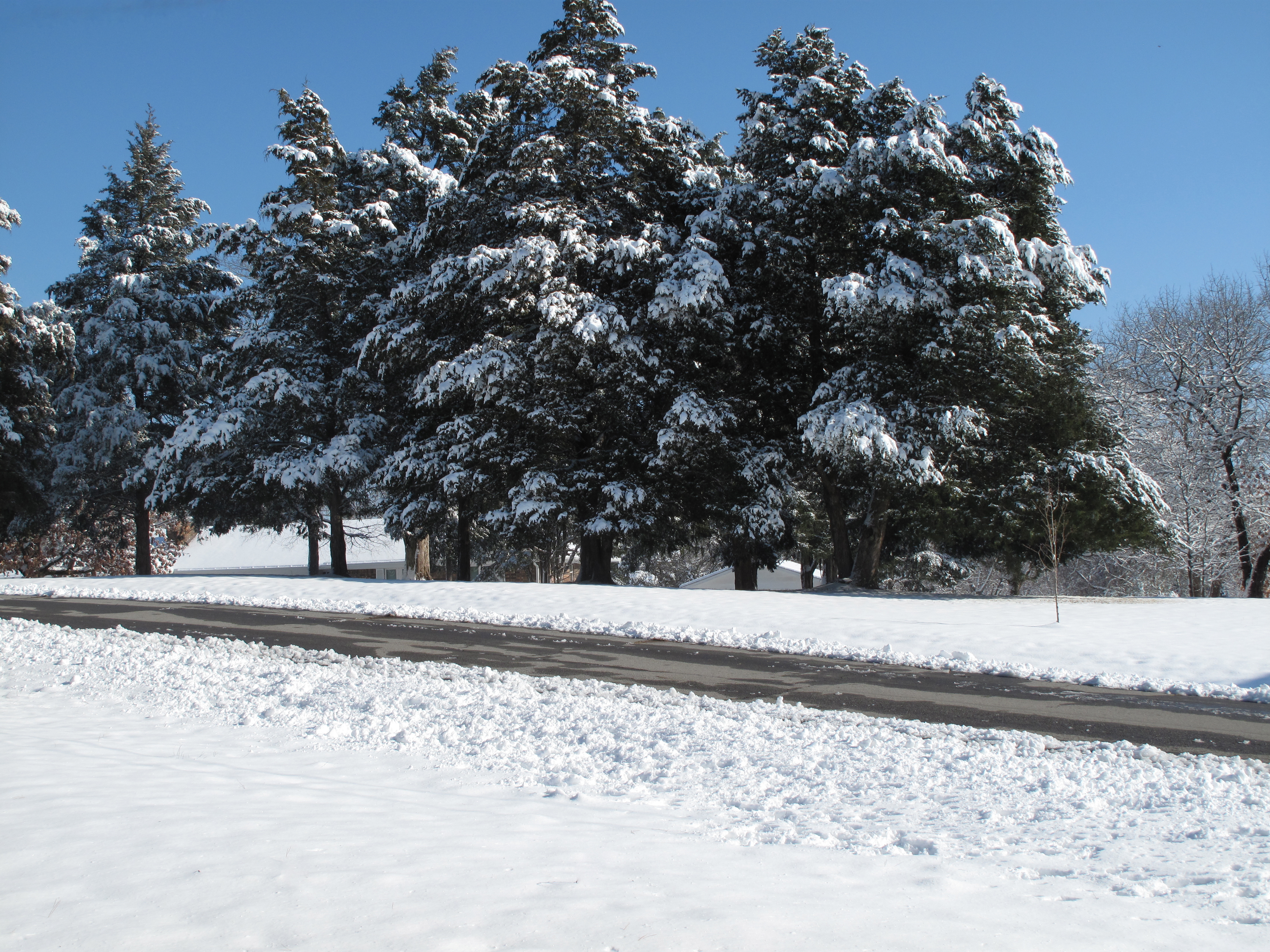
Snow Land 2
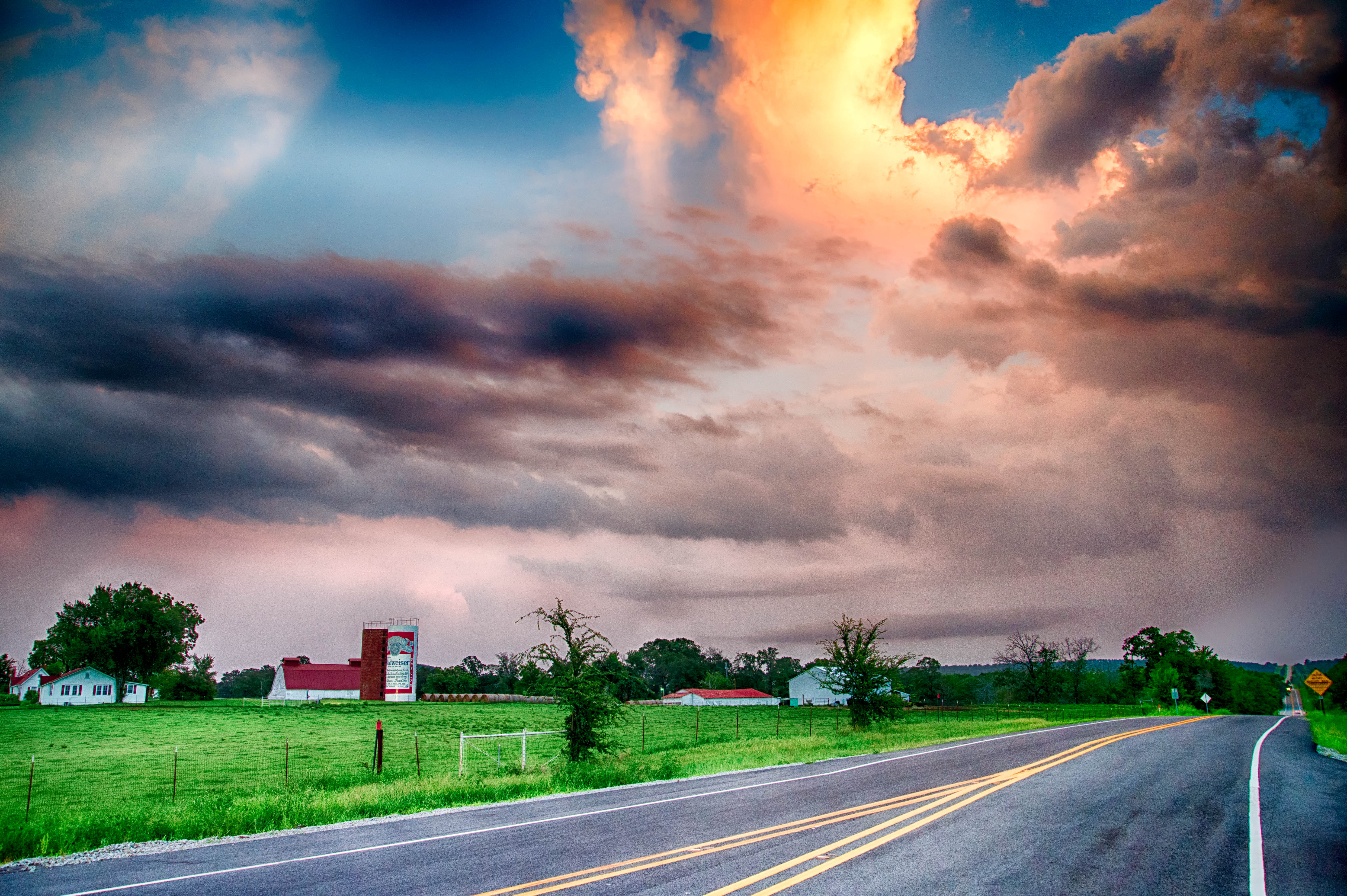
Budweiser Can Sunset
Topographic Map of AR-10, Greenwood, AR, USA
Find elevation by address:

Places near AR-10, Greenwood, AR, USA:
Greenwood, AR, USA
4440 Spike Ridge Trail
AR-, Greenwood, AR, USA
Old Hwy 10, Greenwood, AR, USA
Washburn Township
AR-22, Charleston, AR, USA
Bloomer Township
2303 Rattlesnake Canyon Rd
State Hwy, Charleston, AR, USA
Charleston
Kibler Township
AR-, Charleston, AR, USA
Yoestown Rd, Alma, AR, USA
Hwy, Mansfield, AR, USA
Branch
AR-23, Booneville, AR, USA
401 Todd Rd
Dyer Township
2214 Mantooth Rd
Hurricane Township
Recent Searches:
- Elevation of Corso Fratelli Cairoli, 35, Macerata MC, Italy
- Elevation of Tallevast Rd, Sarasota, FL, USA
- Elevation of 4th St E, Sonoma, CA, USA
- Elevation of Black Hollow Rd, Pennsdale, PA, USA
- Elevation of Oakland Ave, Williamsport, PA, USA
- Elevation of Pedrógão Grande, Portugal
- Elevation of Klee Dr, Martinsburg, WV, USA
- Elevation of Via Roma, Pieranica CR, Italy
- Elevation of Tavkvetili Mountain, Georgia
- Elevation of Hartfords Bluff Cir, Mt Pleasant, SC, USA