Elevation map of Apache Trail, Mesa, AZ, USA
Location: United States > Arizona > Pinal County > Apache Junction >
Longitude: -111.21122
Latitude: 33.5823427
Elevation: -10000m / -32808feet
Barometric Pressure: 295KPa
Elevation Map:
Satellite Map:
Related Photos:

Milky Way Over Fish Creek Hill [Explored]

Fish Creek View

Along the Apache Trail, Arizona

My morning view. #CoffeeKen #adventuretoanywhere #wildernessquest #mountainquest #hiking #travelphoto #trails

Taking the wide view of things

Along the Apache Trail, Arizona
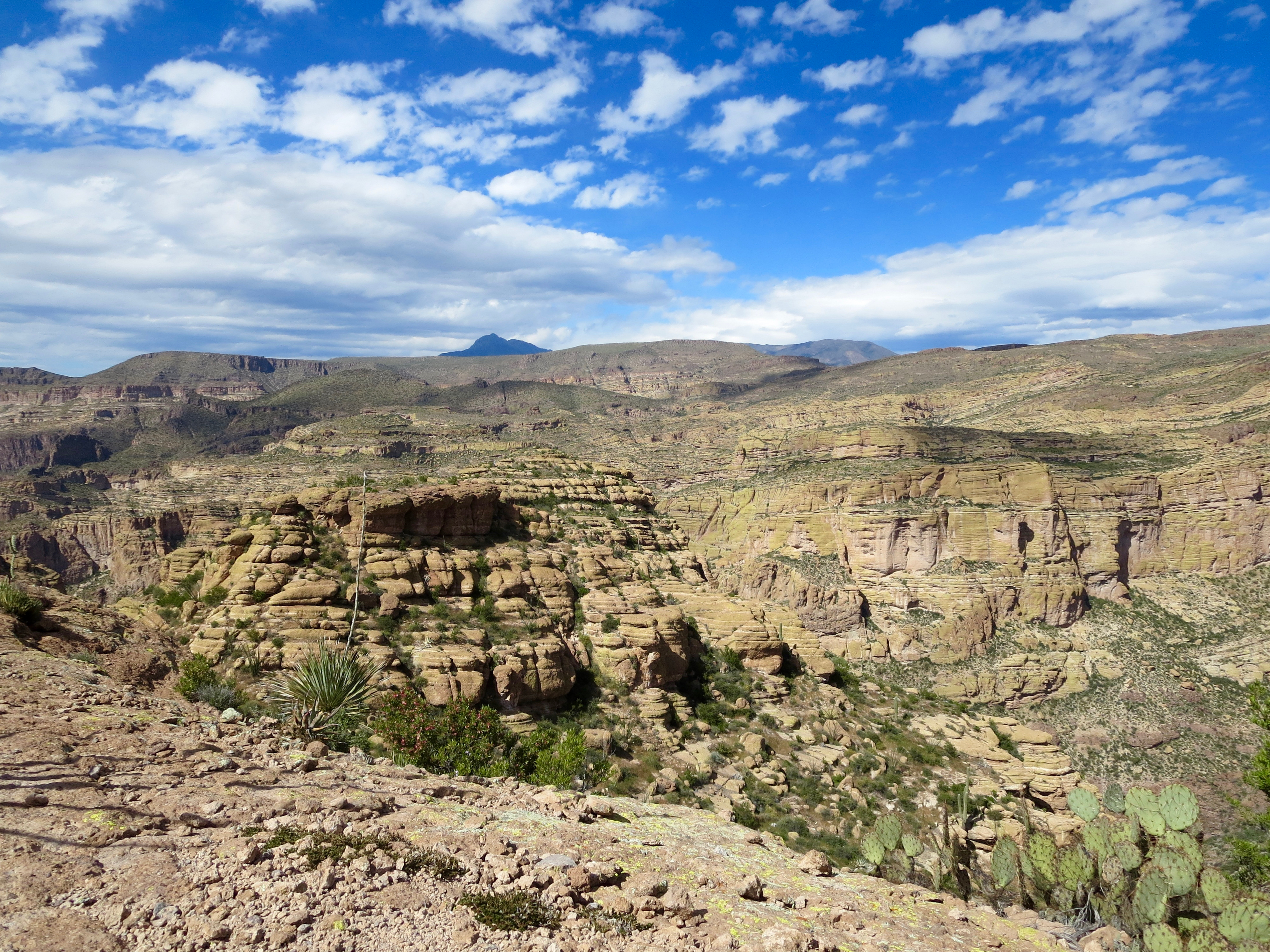
Side canyon

Roosevelt Dam & Bridge

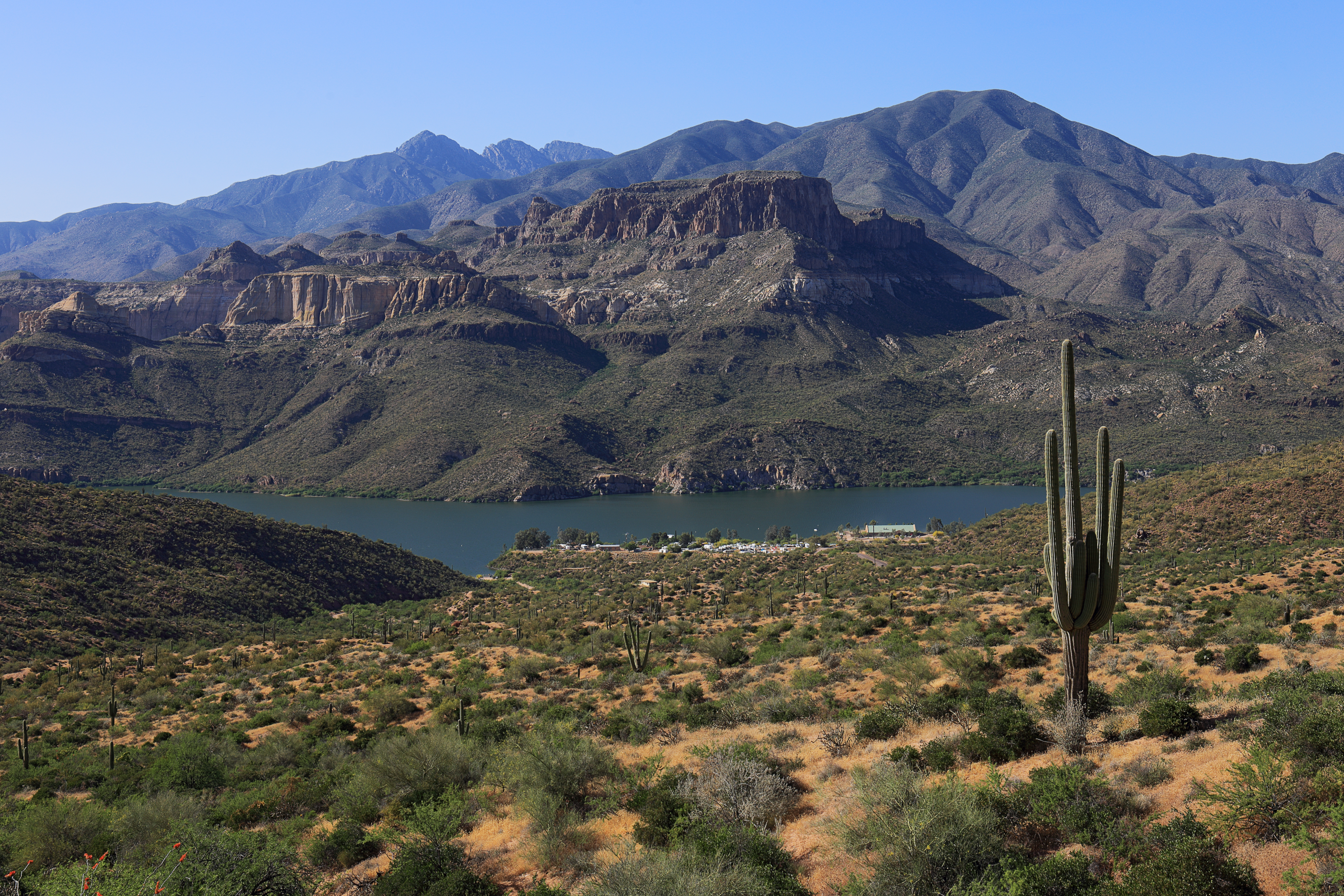
Roosevelt Lake and Roosevelt Dam Bridge from Thompson Trail

Cliff Dwellings Ruins at Tonto National Monument, Arizona

Poppy Profusion

PHX 7021
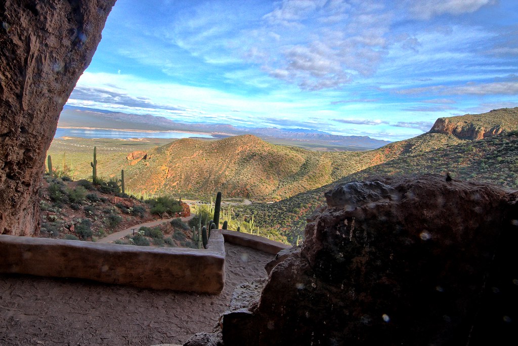
View from the cliff dwellings

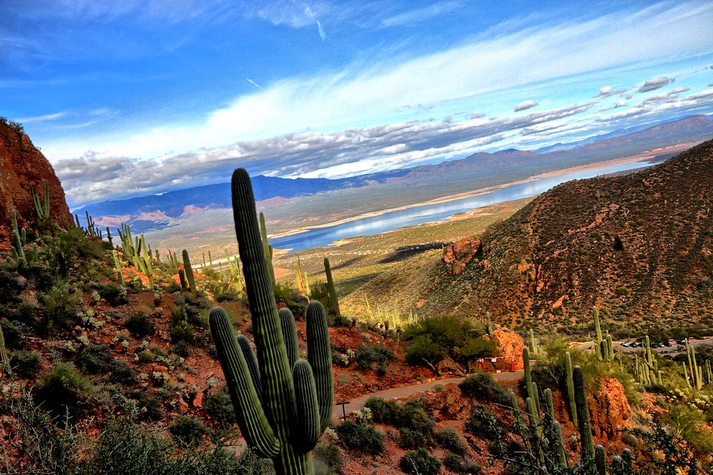
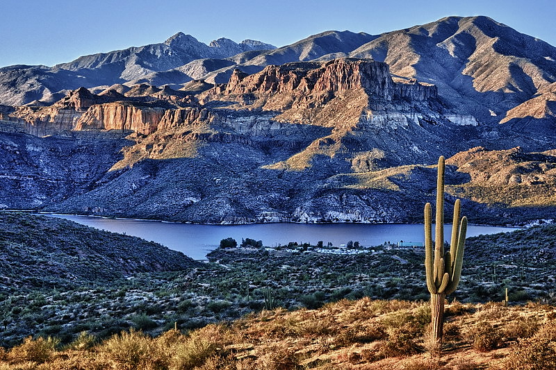
Views along the Apache Trail 4
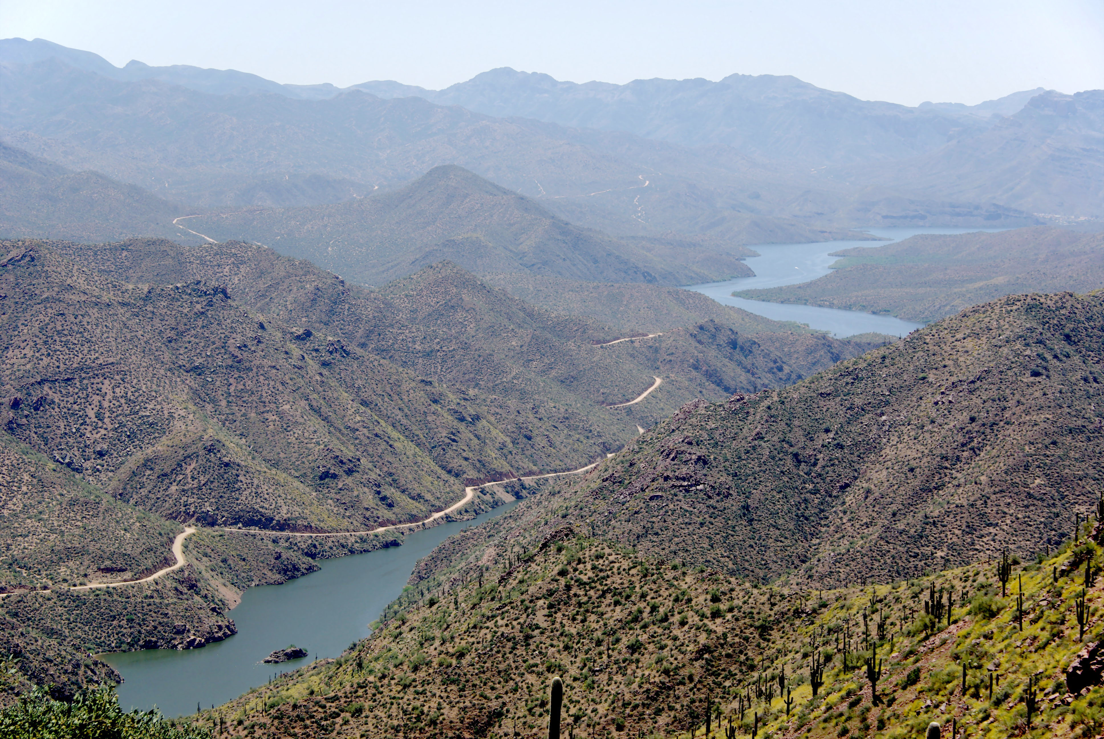
Apache Trail along Apache Lake 04-08
Arizona - Apache Trail

Mojave Yucca

Arizona - Apache Trail

A view of the |West.

Apache Trail along Apache Lake 04-07

Lower Ruins - Tonto National Monument

Roosevelt Dam, Apache Trail Scenic Drive - Arizona

Prickly Pear watching over the Apache Trail, Arizona

Thread and Needle

Chihuahuan Raven @ Apache Lake Arizona
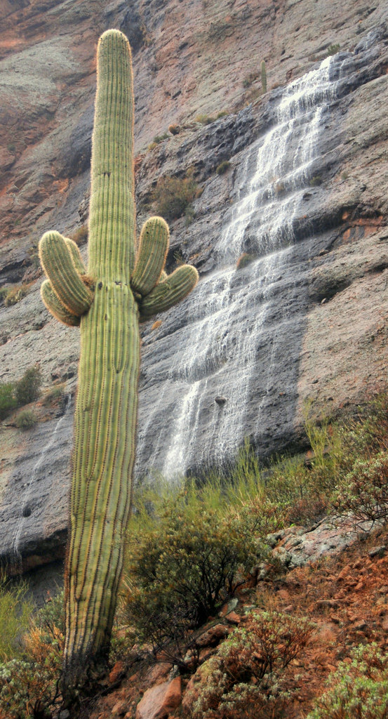
Waterfall at Fish Creek Canyon with Saguaro, Apache Trail, Arizona
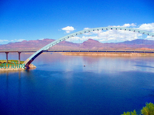
Roosevelt Lake Bridge, Arizona
Desert scene from cliff dwelling

Saguaro and mountains

The Ancient Scene: Salado People
Out of The Dark

Tonto National Monument
Apache Lake at Sunset (DSG_9271-73)

On the rocks I

Jerome 2013

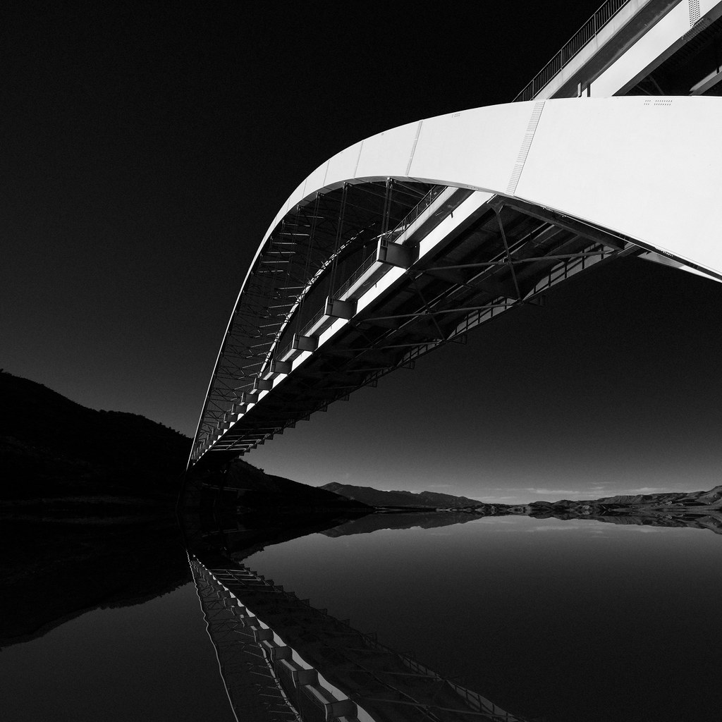
Roosevelt Bridge and Dam

Powerlines not too far away
Topographic Map of Apache Trail, Mesa, AZ, USA
Find elevation by address:

Places near Apache Trail, Mesa, AZ, USA:
Apache Trail
Apache Lake
Superstition Mountains
Superstition Mountains
Superstition Mountains
AZ-, Roosevelt, AZ, USA
Fish Creek Hill
Roosevelt
Roosevelt Lake Marina
Theodore Roosevelt Lake
Browns Peak
Four Peaks
Lone Pine Trailhead
Tortilla Flat
Canyon Lake
North Fr143
Queen Valley
Lost Dutchman State Park
Lost Dutchman State Park Check-in Office
6359 E Mining Camp St
Recent Searches:
- Elevation of Corso Fratelli Cairoli, 35, Macerata MC, Italy
- Elevation of Tallevast Rd, Sarasota, FL, USA
- Elevation of 4th St E, Sonoma, CA, USA
- Elevation of Black Hollow Rd, Pennsdale, PA, USA
- Elevation of Oakland Ave, Williamsport, PA, USA
- Elevation of Pedrógão Grande, Portugal
- Elevation of Klee Dr, Martinsburg, WV, USA
- Elevation of Via Roma, Pieranica CR, Italy
- Elevation of Tavkvetili Mountain, Georgia
- Elevation of Hartfords Bluff Cir, Mt Pleasant, SC, USA