Elevation of Apache Trail, Arizona, USA
Location: United States > Arizona > Pinal County > Apache Junction >
Longitude: -111.21122
Latitude: 33.5823427
Elevation: 718m / 2356feet
Barometric Pressure: 93KPa
Elevation Map:
Satellite Map:
Related Photos:
Roosevelt Lake and Roosevelt Dam Bridge from Thompson Trail
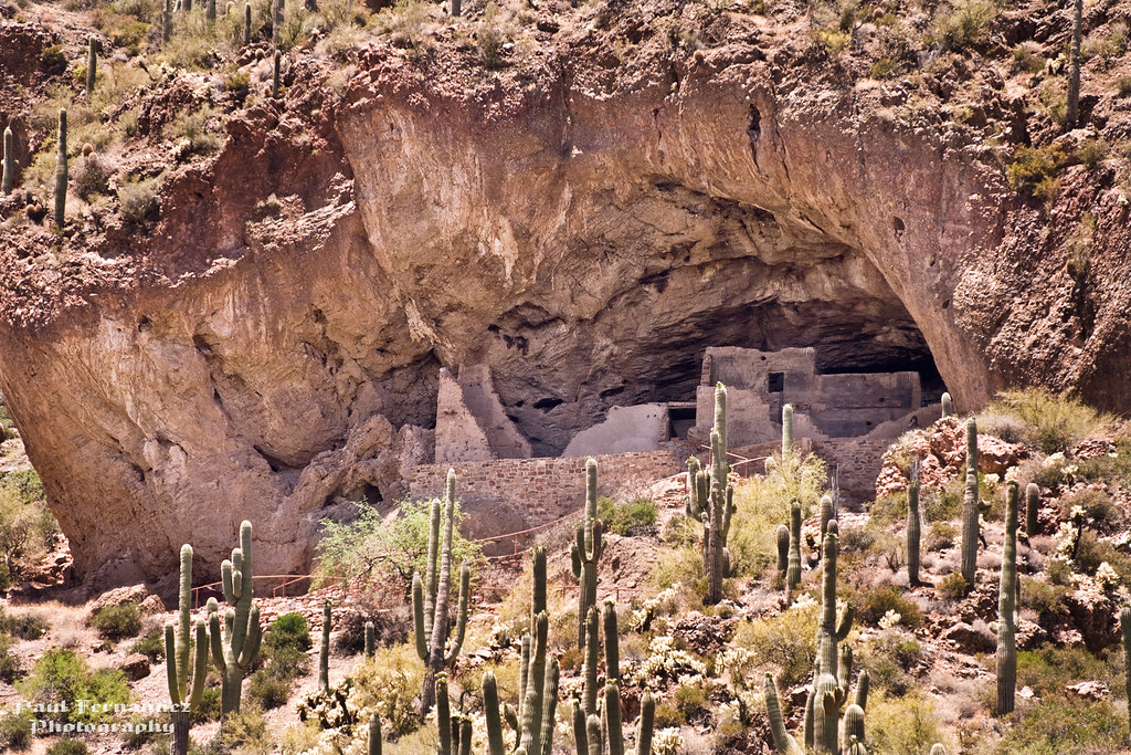
Cliff Dwellings Ruins at Tonto National Monument, Arizona
Arizona - Apache Trail
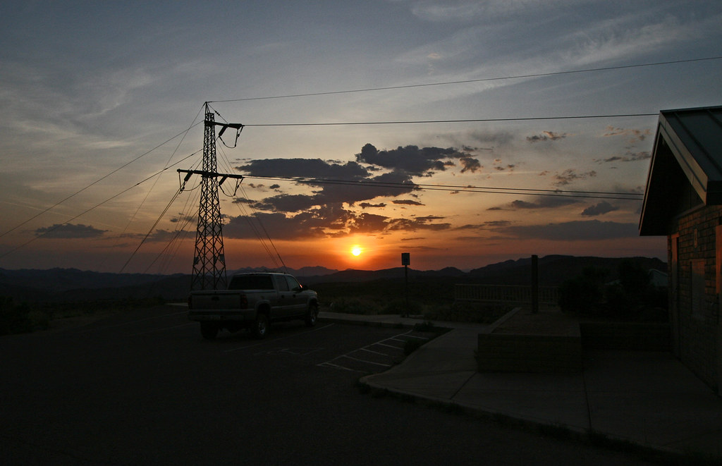
Roosevelt Lake - Windy Hill campground campsite 20 with sunset approaching
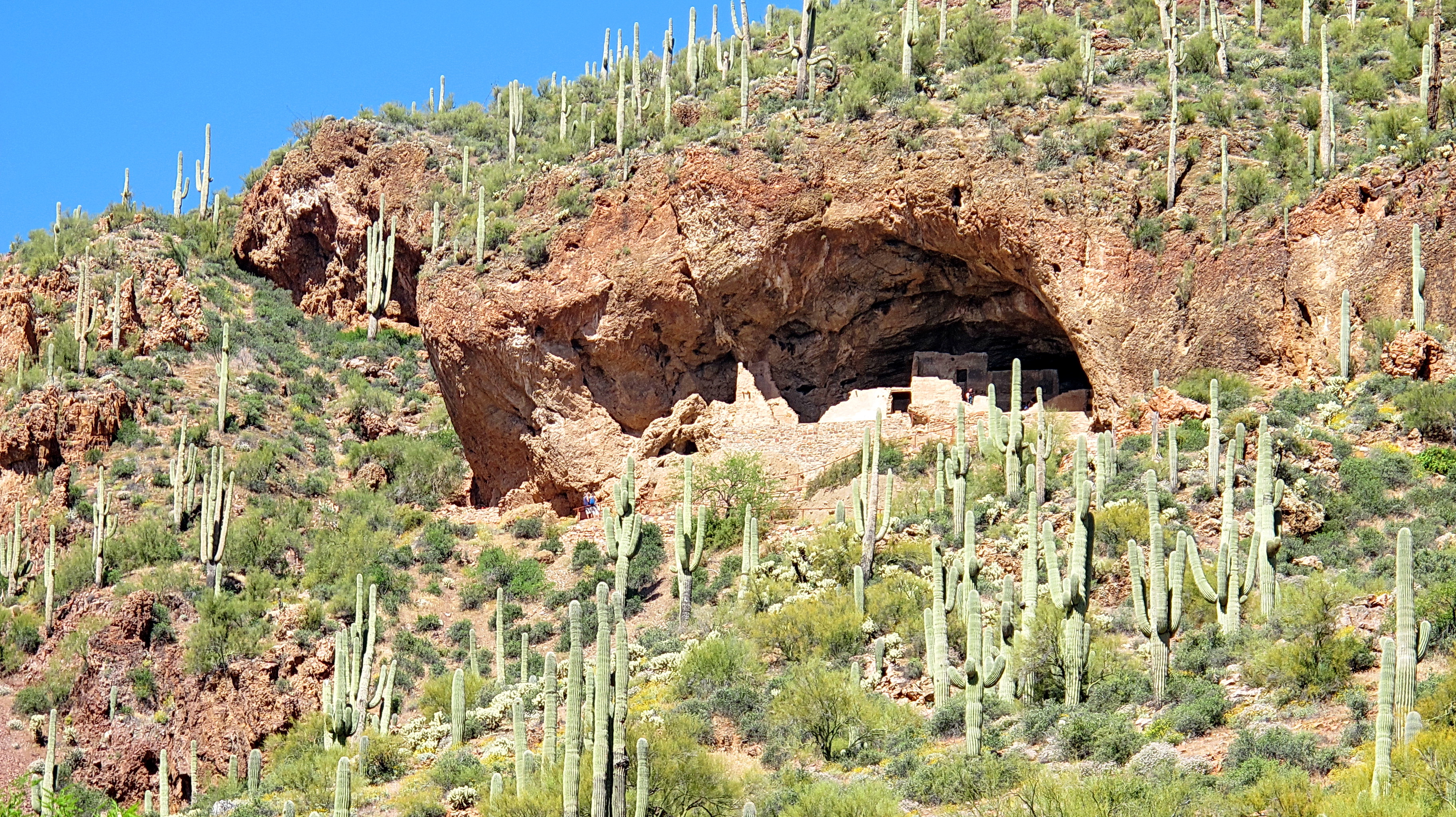
Lower Ruins - Tonto National Monument
Falcon View

Tonto National Monument - view on trail to Upper Ruins

a tREK oN tHE aPACHE tRAIL 135
Snow blowing up the scree chute - Brown's Peak - Four Peaks Wilderness
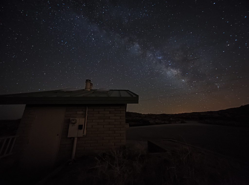
Milky Way Over Fish Creek Hill [Explored]
Fish Creek View

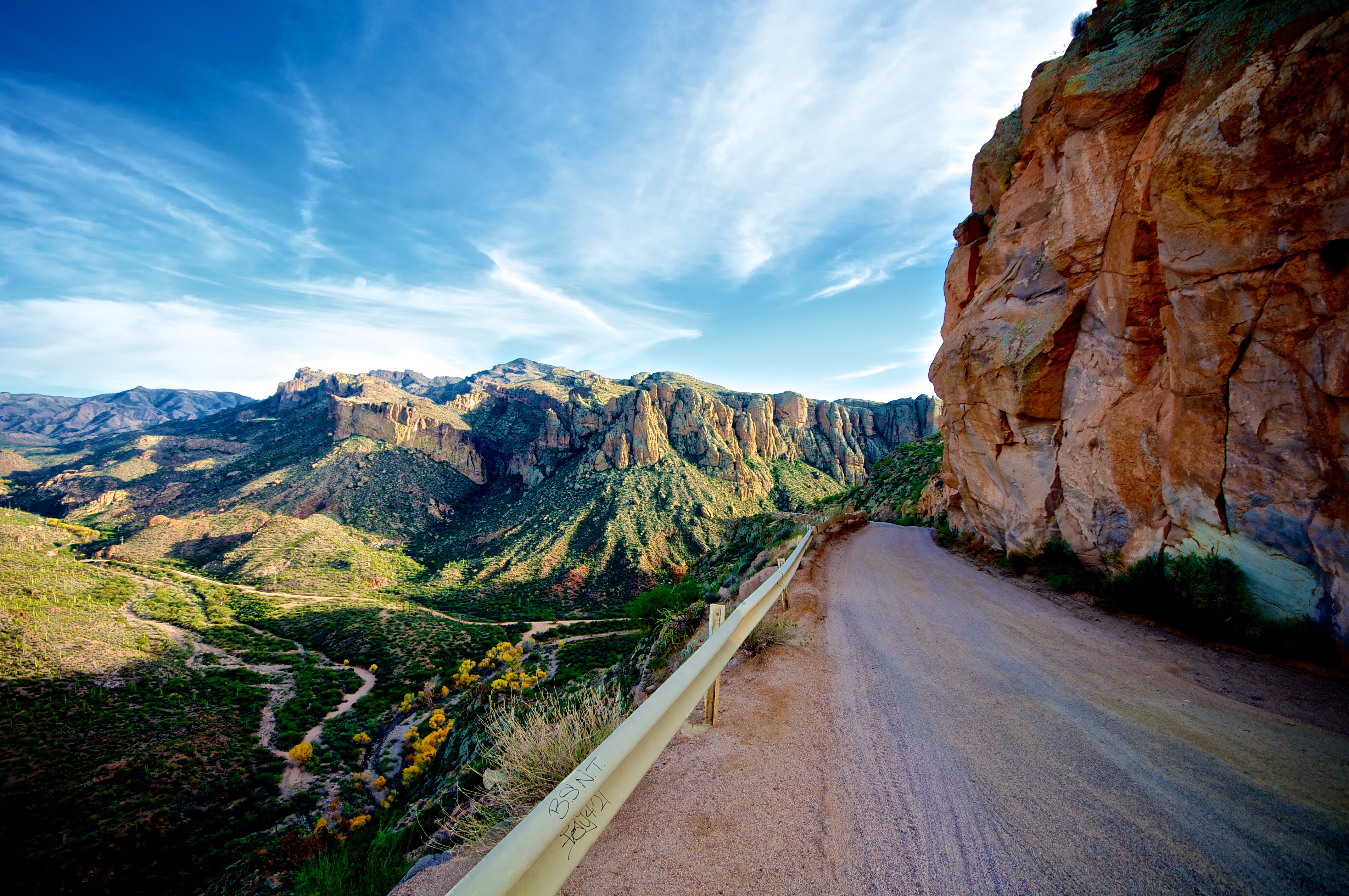
Along the Apache Trail, Arizona
Taking the wide view of things

My morning view. #CoffeeKen #adventuretoanywhere #wildernessquest #mountainquest #hiking #travelphoto #trails
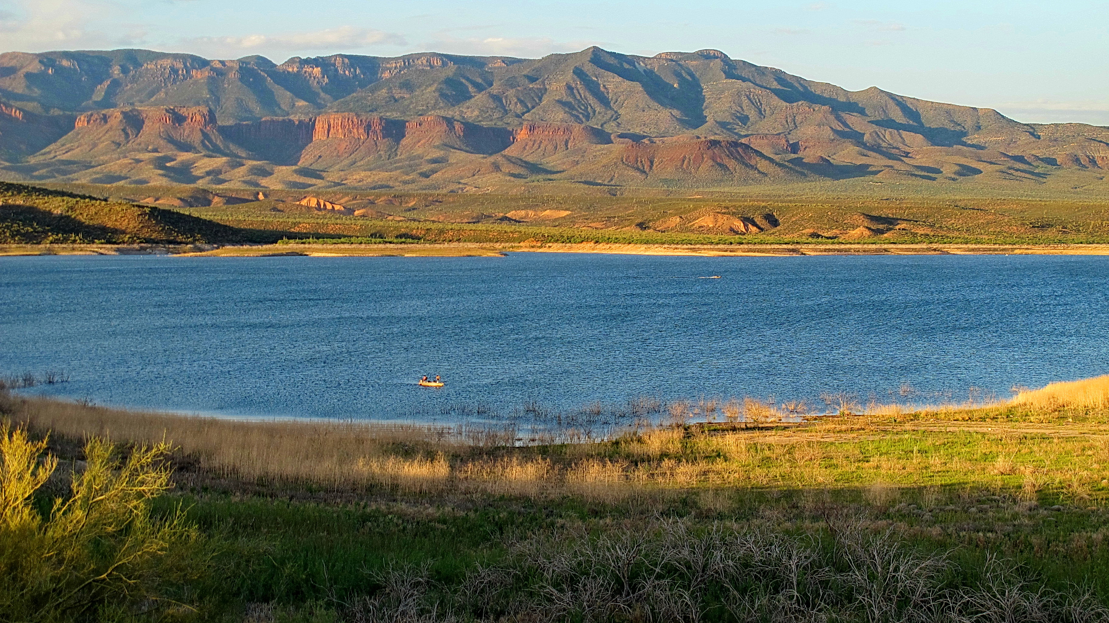
Roosevelt Lake, Arizona - Sunset

Along the Apache Trail, Arizona
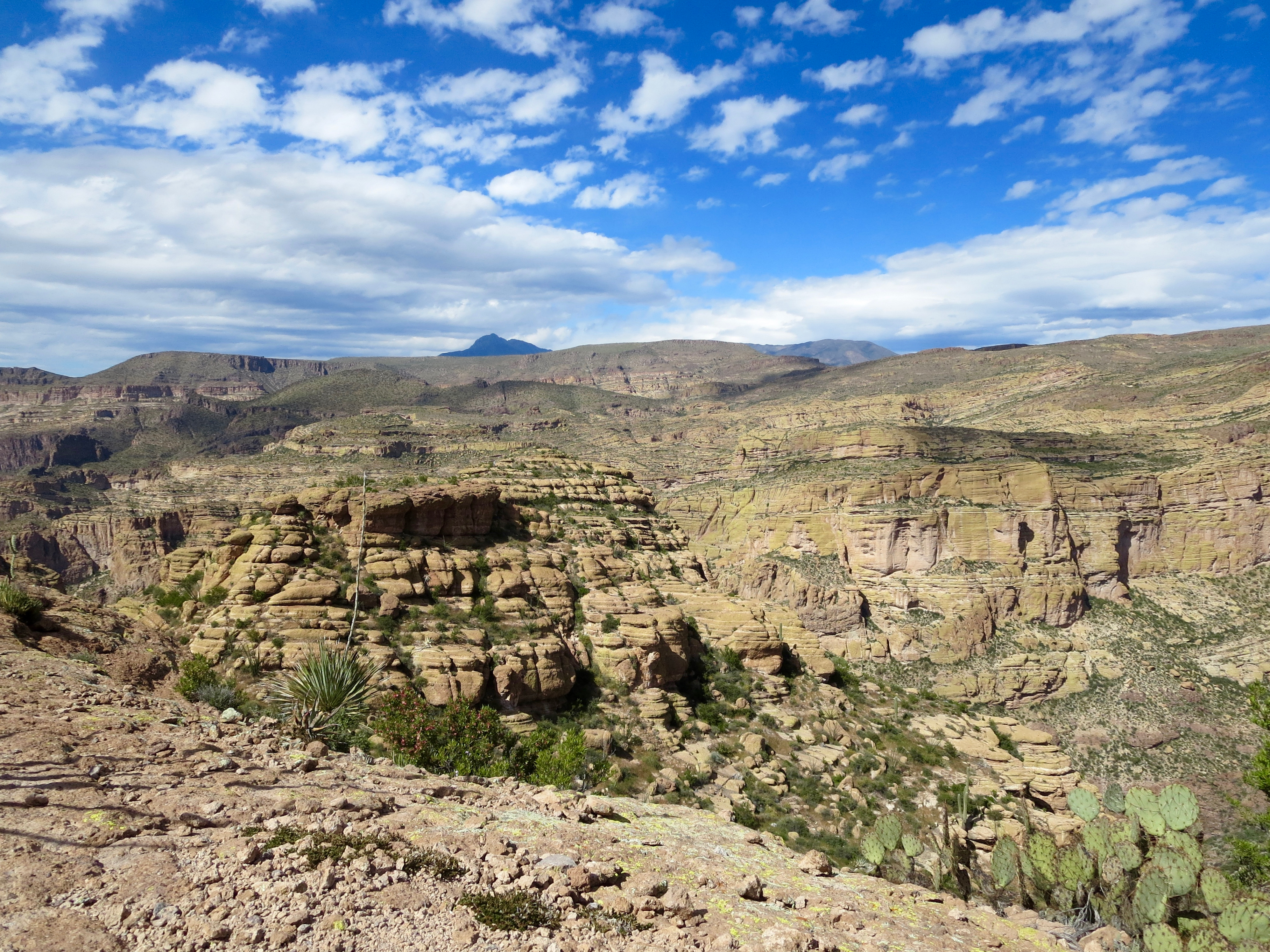
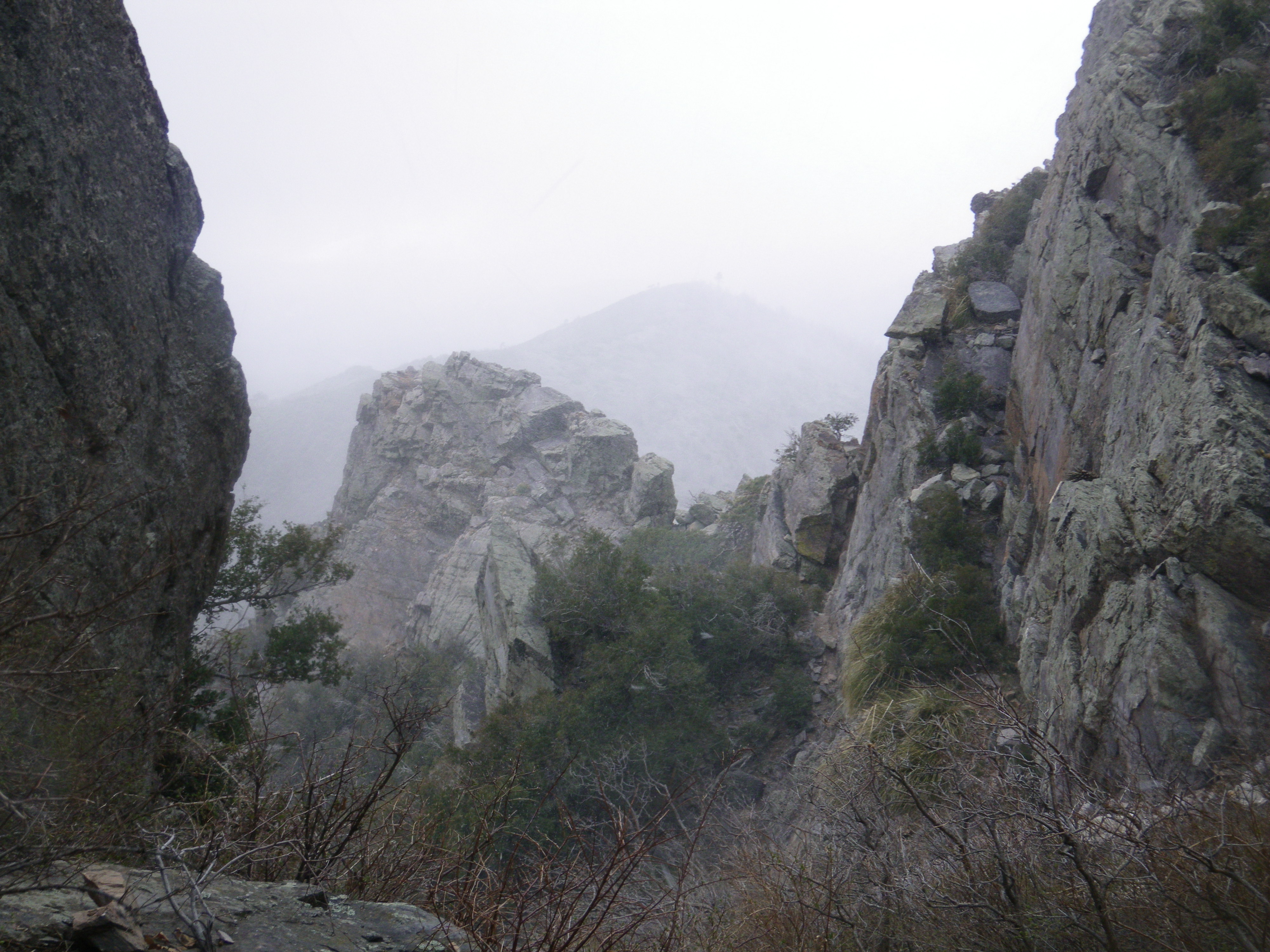
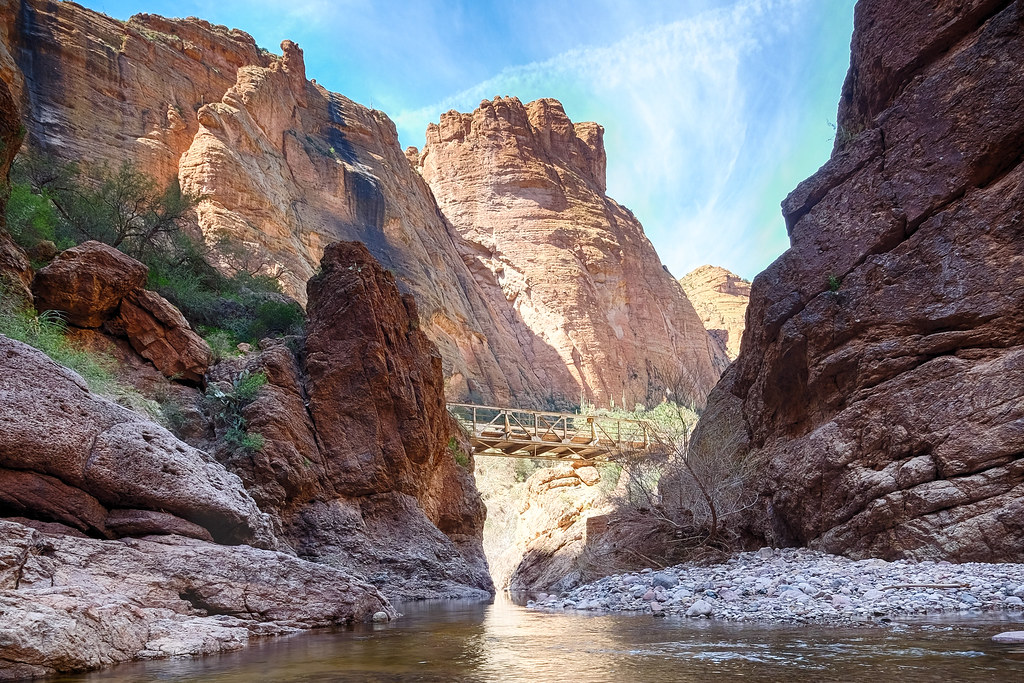
Side canyon
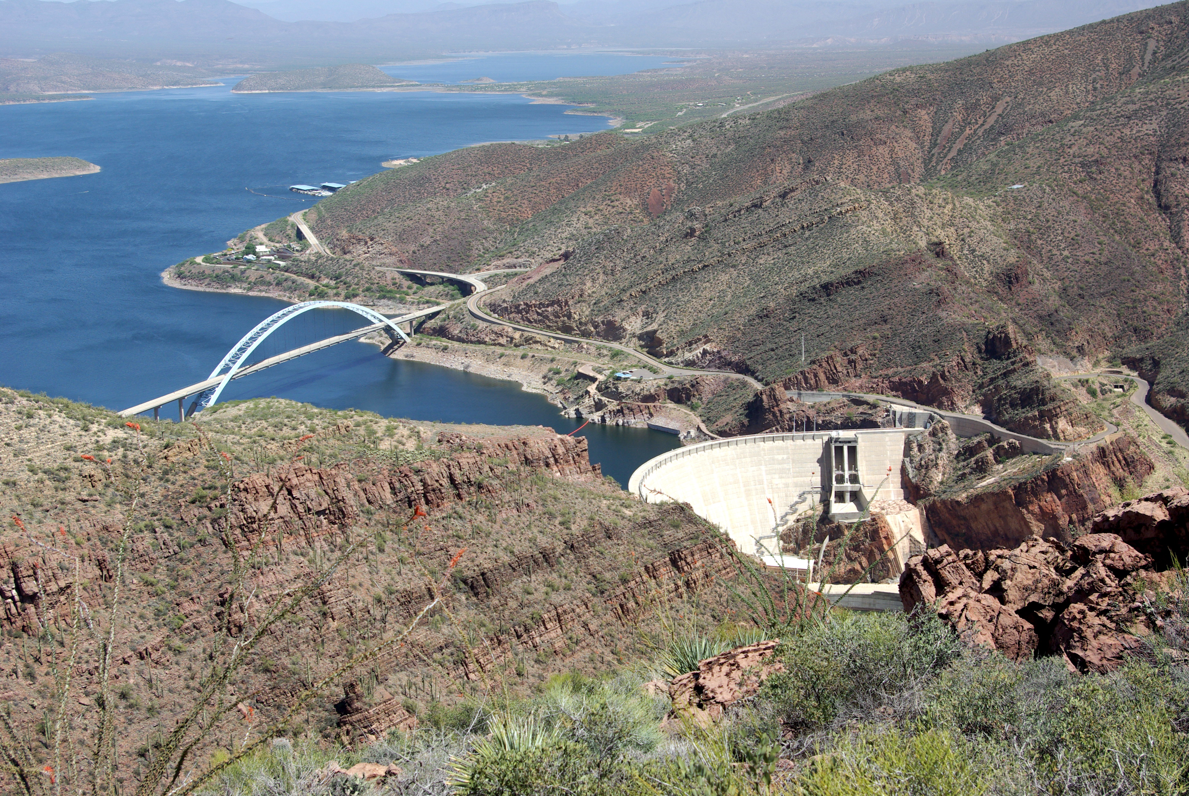
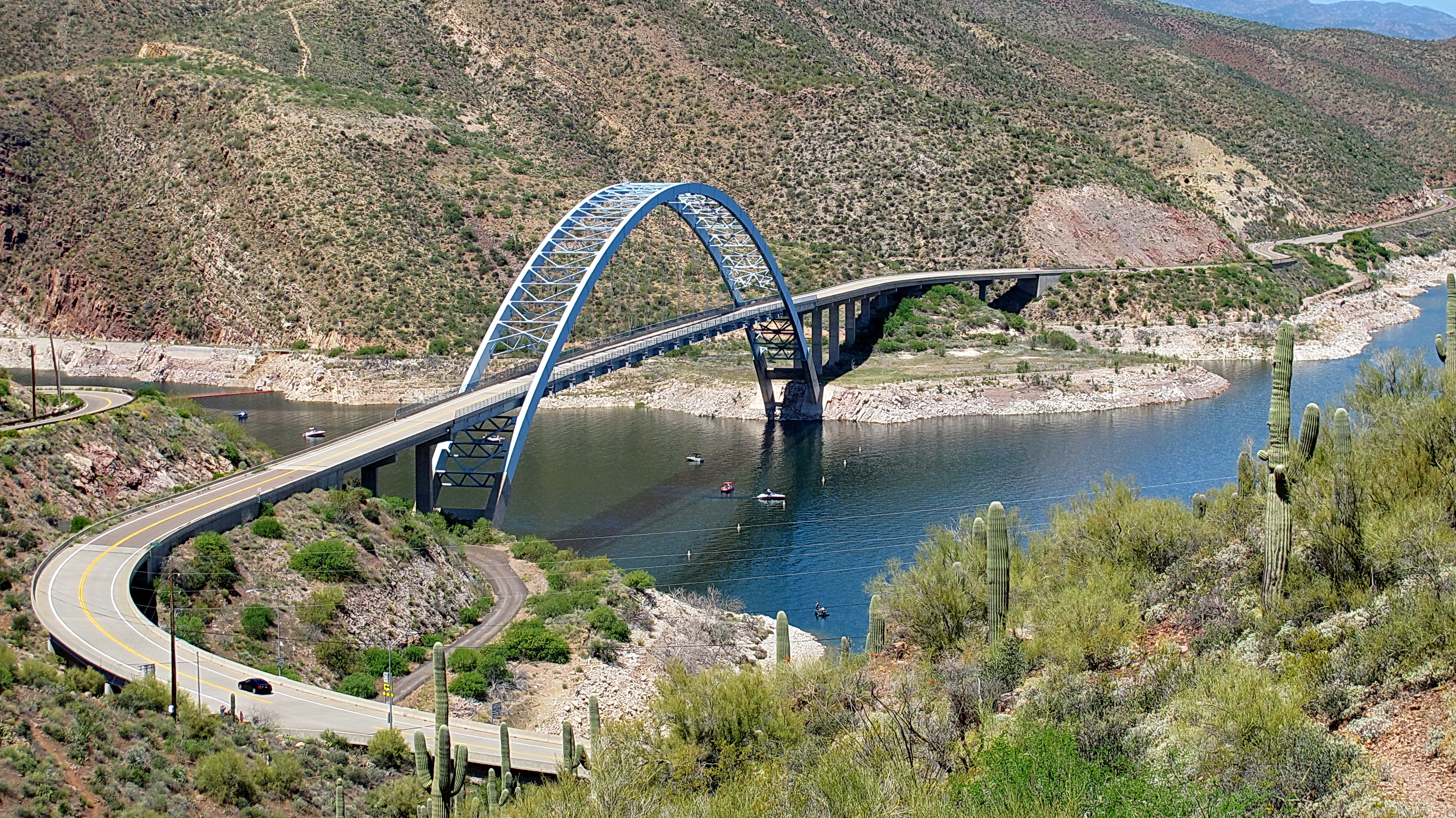
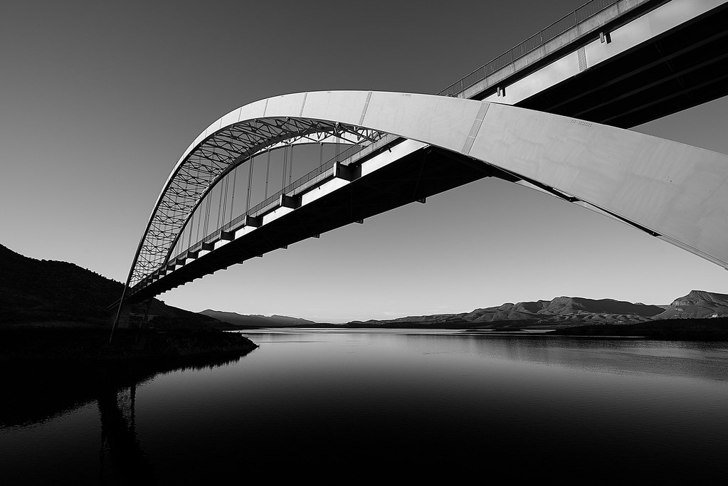
Roosevelt Dam & Bridge
PHX 7021
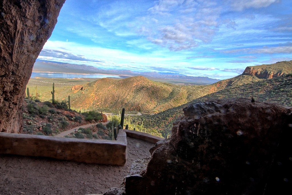
View from the cliff dwellings
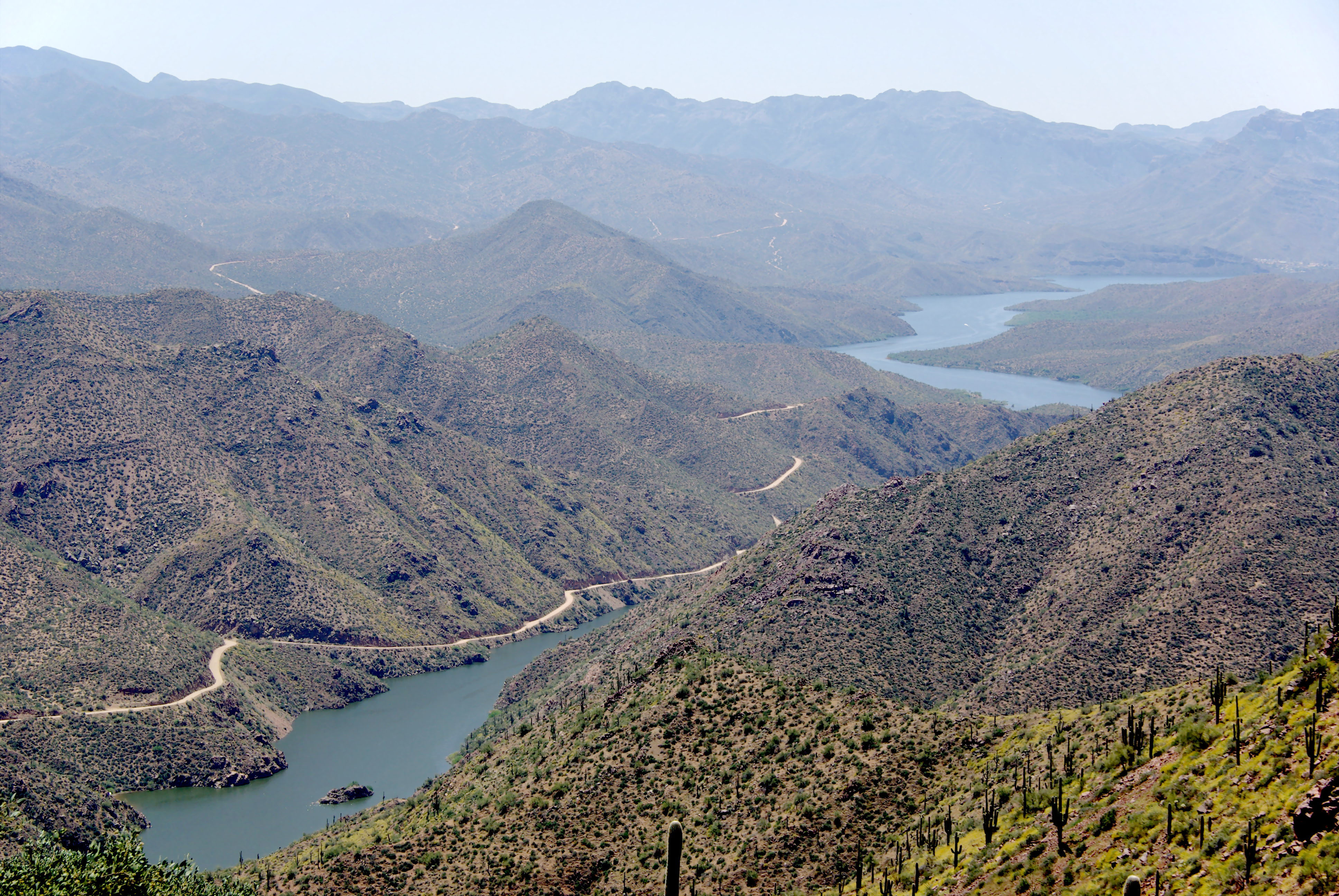
Apache Trail along Apache Lake 04-08
Roosevelt Dam, Apache Trail Scenic Drive - Arizona

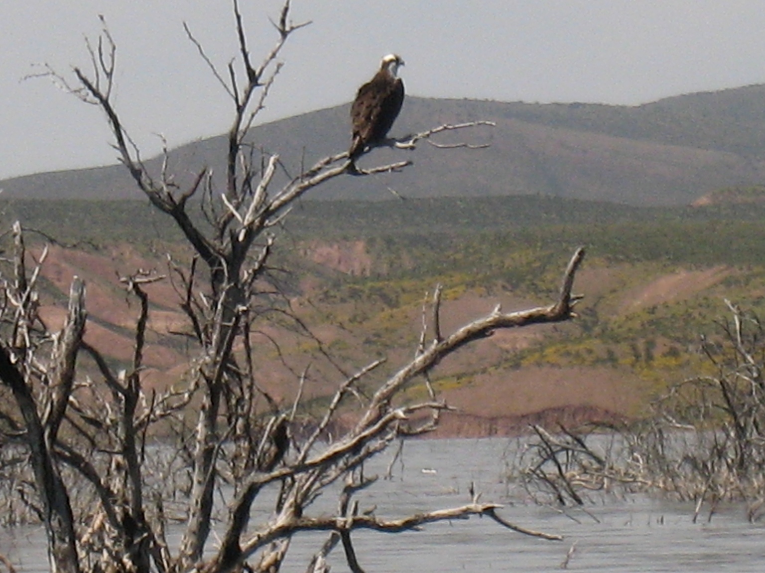
Chihuahuan Raven @ Apache Lake Arizona
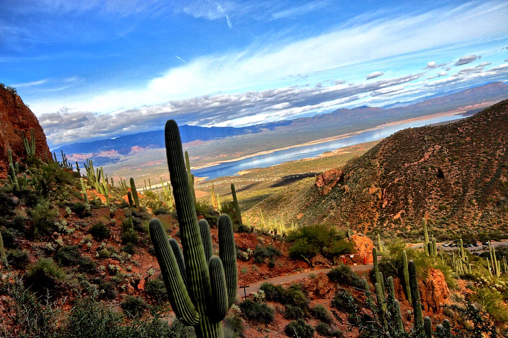
Saguaro and mountains
Tonto National Monument - Upper Ruins
The Apache Trail snakes its way through the mountains and valleys in Arizona
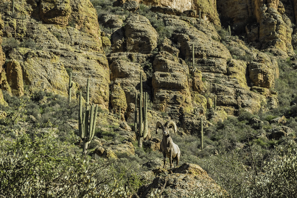
BigHorn Sheep in the mountains along the Apache Trail in Arizona
apachetrail-backcountry
Thread and Needle
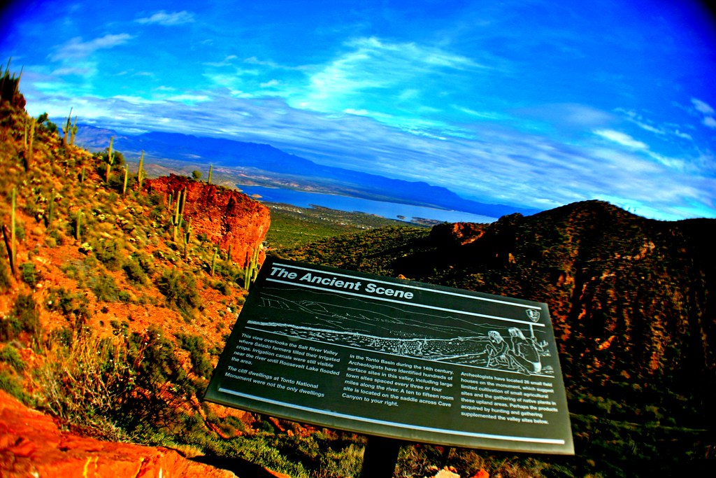
The Ancient Scene: Salado People

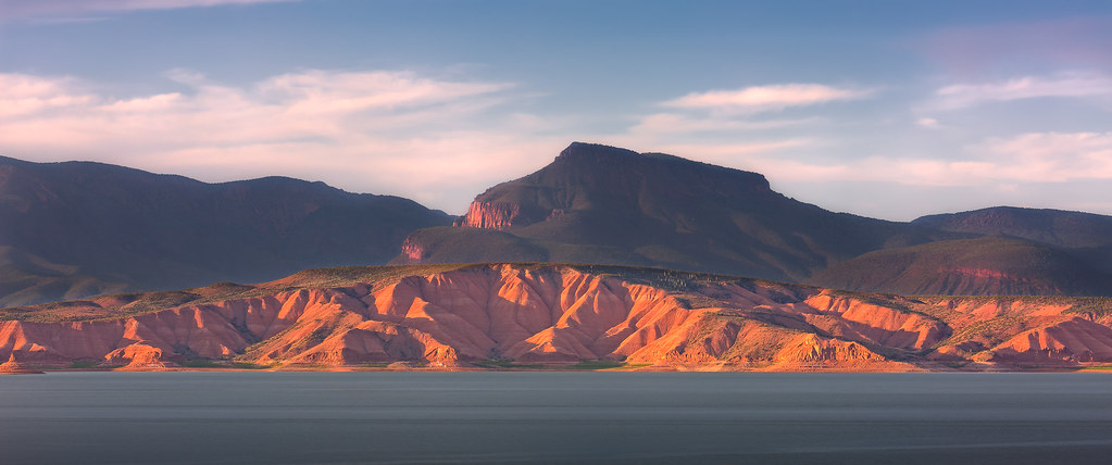
The Big Blue Lake
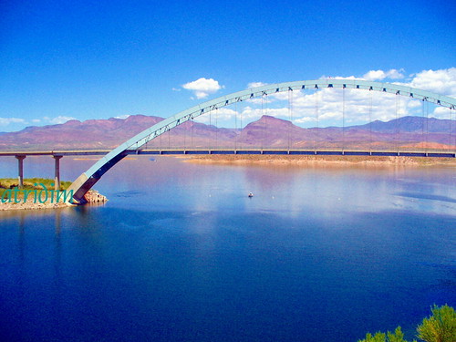
Roosevelt Lake Bridge, Arizona
Desert scene from cliff dwelling
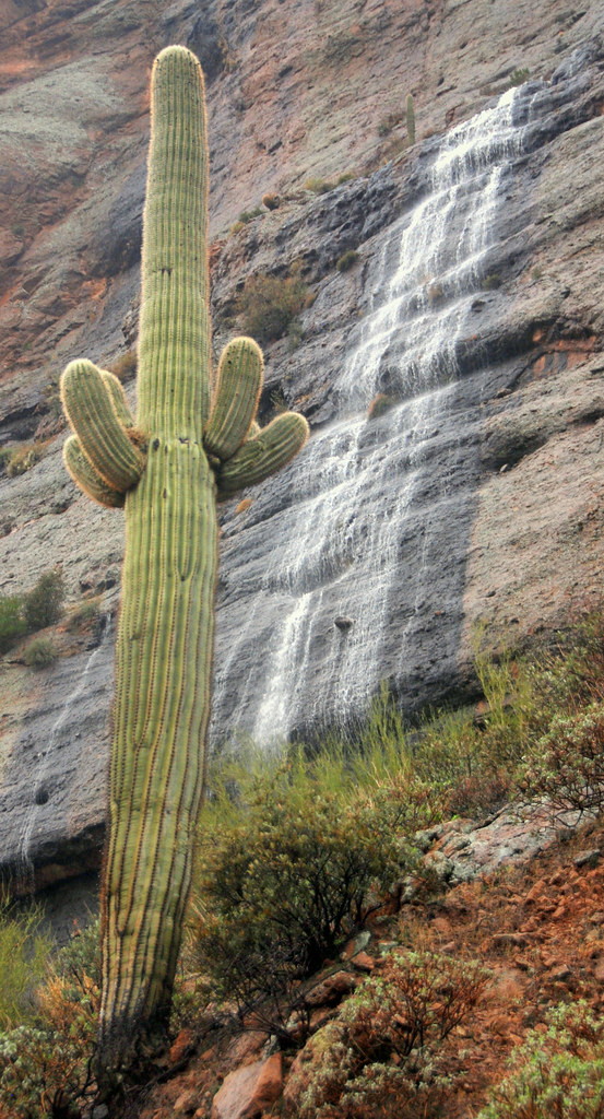
Waterfall at Fish Creek Canyon with Saguaro, Apache Trail, Arizona
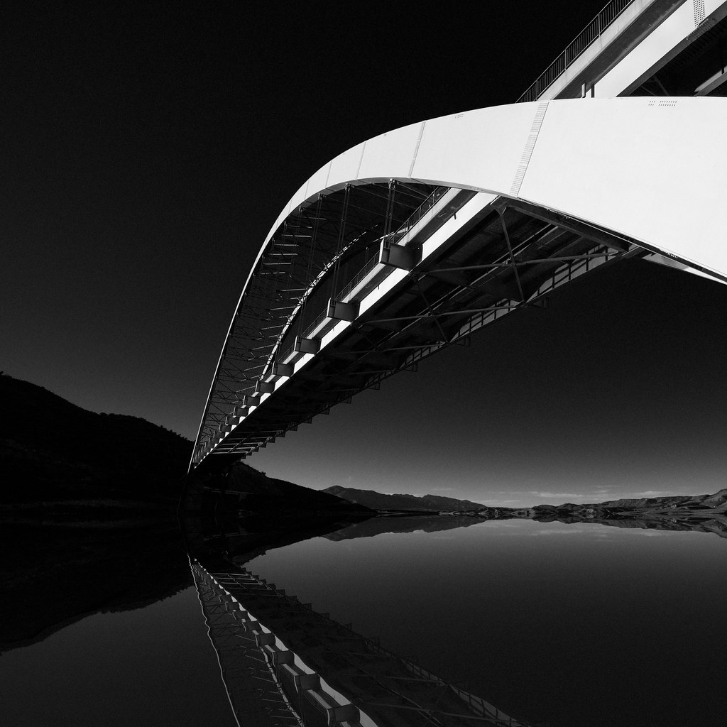
Out of The Dark
Topographic Map of Apache Trail, Arizona, USA
Find elevation by address:

Places near Apache Trail, Arizona, USA:
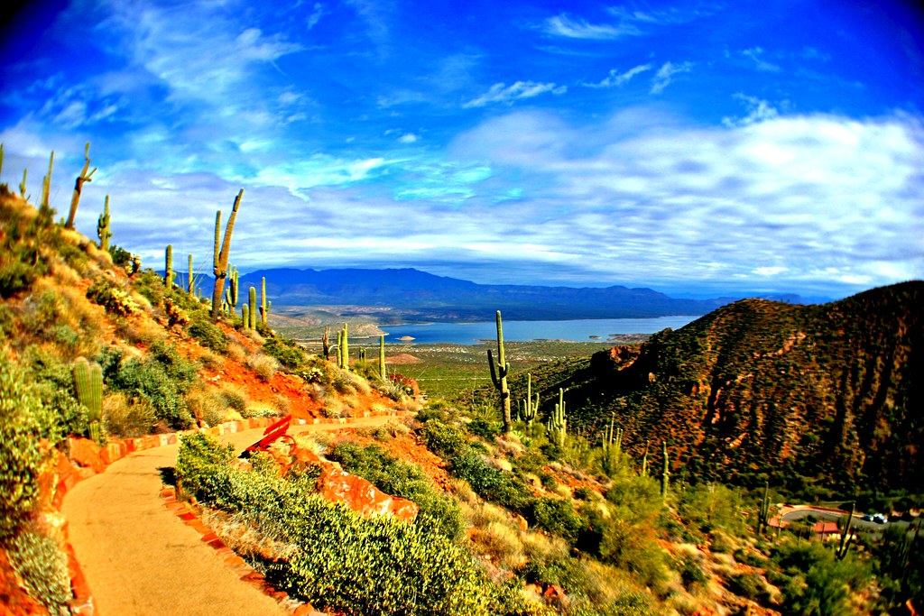
Apache Trail
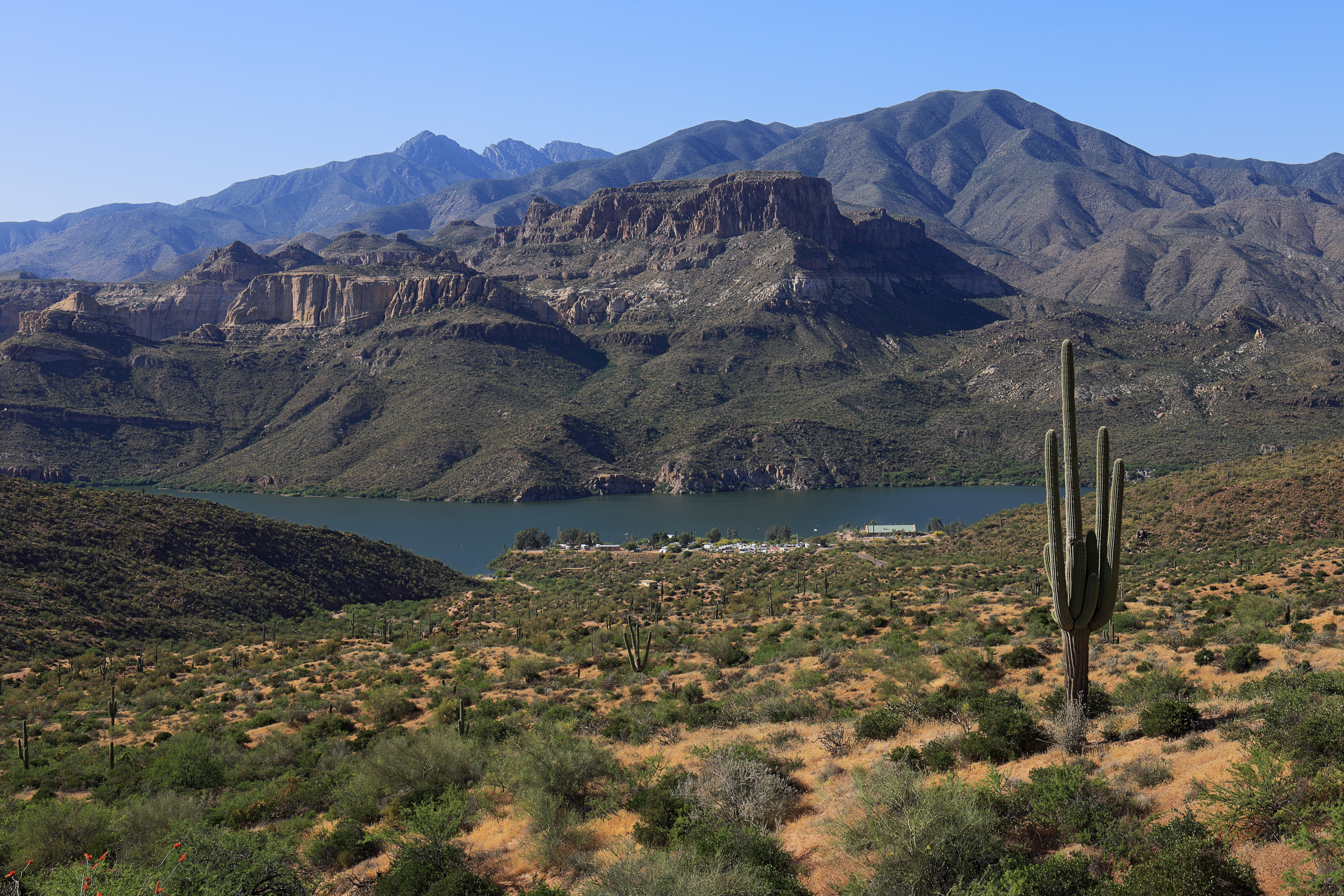
Apache Lake
Superstition Mountains
Superstition Mountains
Superstition Mountains
AZ-, Roosevelt, AZ, USA
Fish Creek Hill
Roosevelt
Roosevelt Lake Marina
Theodore Roosevelt Lake
Browns Peak
Four Peaks
Lone Pine Trailhead
Tortilla Flat
Canyon Lake
North Fr143
Queen Valley
Lost Dutchman State Park
Lost Dutchman State Park Check-in Office
6359 E Mining Camp St
Recent Searches:
- Elevation of Corso Fratelli Cairoli, 35, Macerata MC, Italy
- Elevation of Tallevast Rd, Sarasota, FL, USA
- Elevation of 4th St E, Sonoma, CA, USA
- Elevation of Black Hollow Rd, Pennsdale, PA, USA
- Elevation of Oakland Ave, Williamsport, PA, USA
- Elevation of Pedrógão Grande, Portugal
- Elevation of Klee Dr, Martinsburg, WV, USA
- Elevation of Via Roma, Pieranica CR, Italy
- Elevation of Tavkvetili Mountain, Georgia
- Elevation of Hartfords Bluff Cir, Mt Pleasant, SC, USA