Elevation of Anzac, AB T0P, Canada
Location: Canada > Alberta > Division No. 16 > Wood Buffalo >
Longitude: -111.03676
Latitude: 56.448899
Elevation: -10000m / -32808feet
Barometric Pressure: 295KPa
Elevation Map:
Satellite Map:
Related Photos:
P1140141
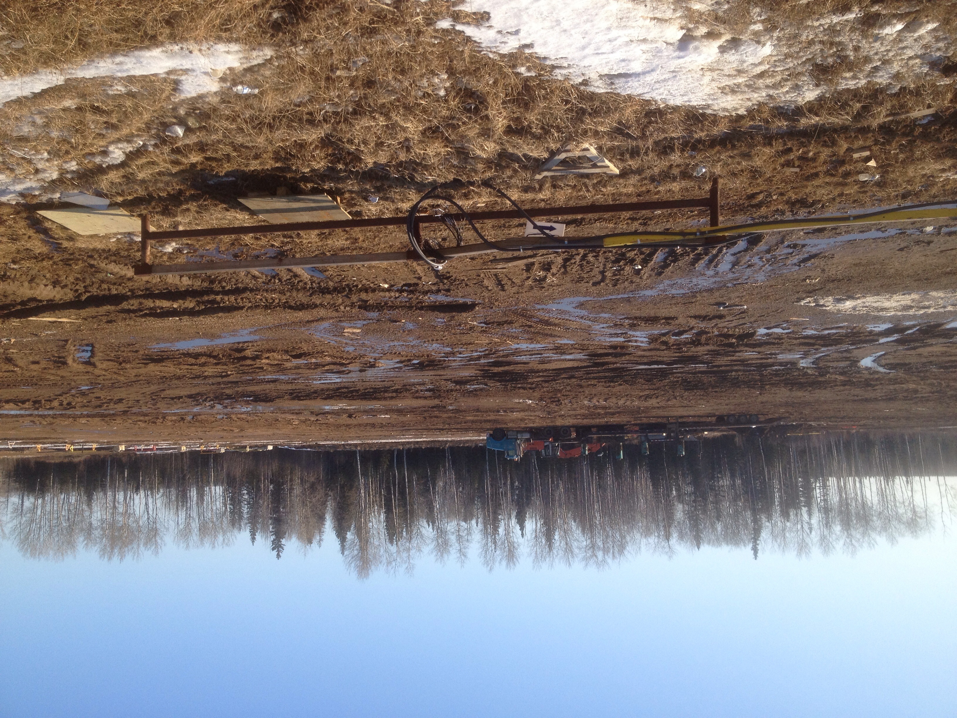
Kinosis camp

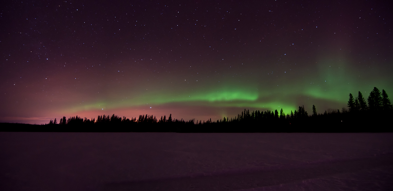
2014-11-15_06-26-55
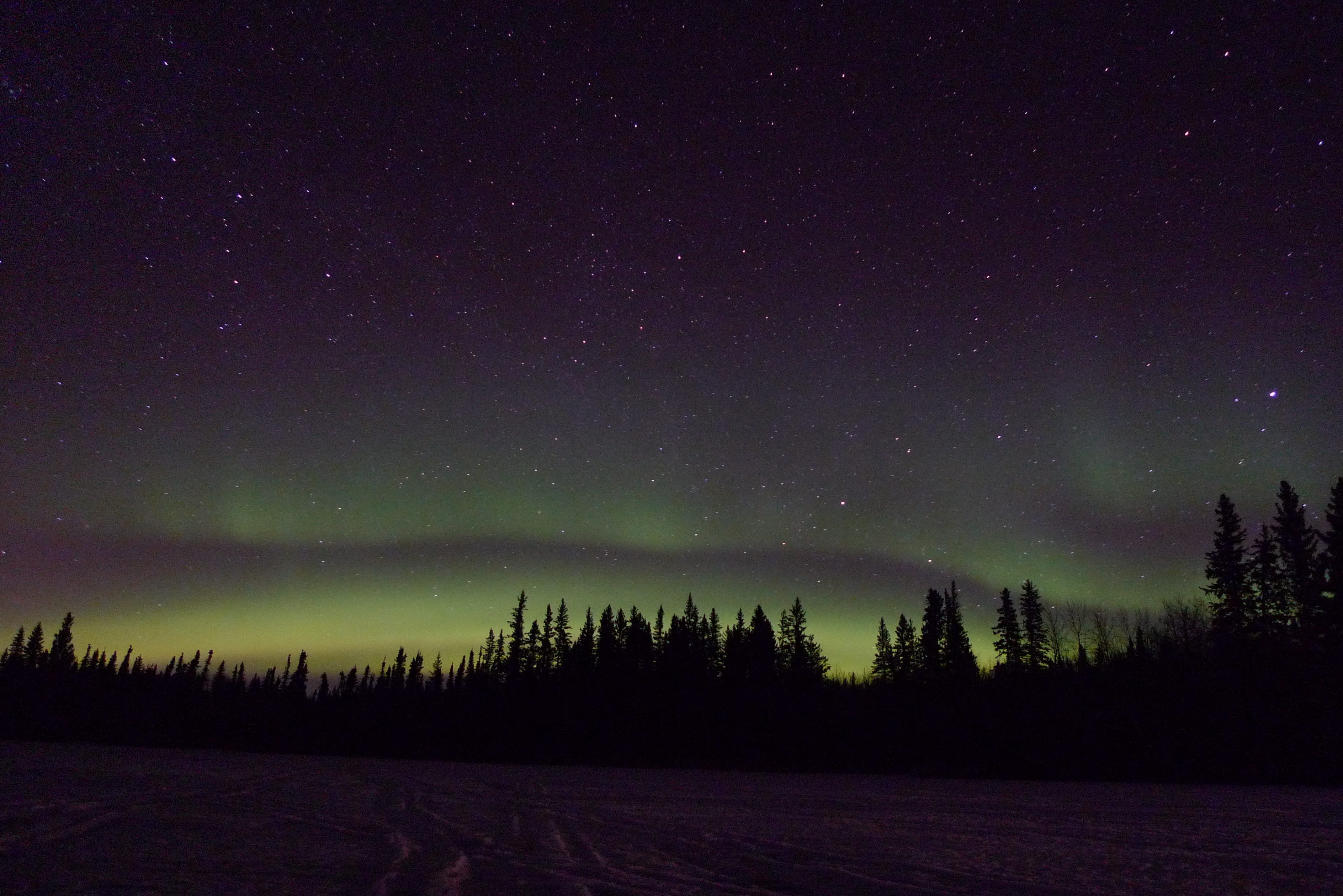
Aurora!

Gregoire Lake
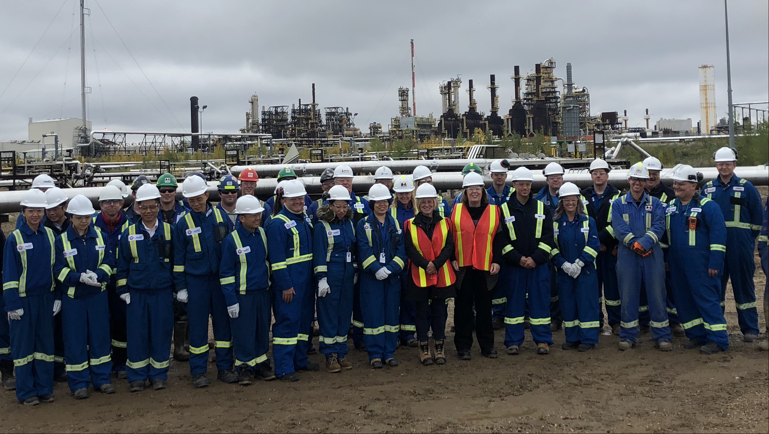
Supporting oil sands growth and climate action

Kinosis camp

Lockout lock

Lockout lock

Julio huezo

Cold ass X-mas eve
Topographic Map of Anzac, AB T0P, Canada
Find elevation by address:

Places near Anzac, AB T0P, Canada:
Recent Searches:
- Elevation of Corso Fratelli Cairoli, 35, Macerata MC, Italy
- Elevation of Tallevast Rd, Sarasota, FL, USA
- Elevation of 4th St E, Sonoma, CA, USA
- Elevation of Black Hollow Rd, Pennsdale, PA, USA
- Elevation of Oakland Ave, Williamsport, PA, USA
- Elevation of Pedrógão Grande, Portugal
- Elevation of Klee Dr, Martinsburg, WV, USA
- Elevation of Via Roma, Pieranica CR, Italy
- Elevation of Tavkvetili Mountain, Georgia
- Elevation of Hartfords Bluff Cir, Mt Pleasant, SC, USA