Elevation of Andrews Rd, Dorris, CA, USA
Location: United States > California > Siskiyou County > Dorris >
Longitude: -122.06563
Latitude: 41.9253209
Elevation: 1463m / 4800feet
Barometric Pressure: 85KPa
Elevation Map:
Satellite Map:
Related Photos:
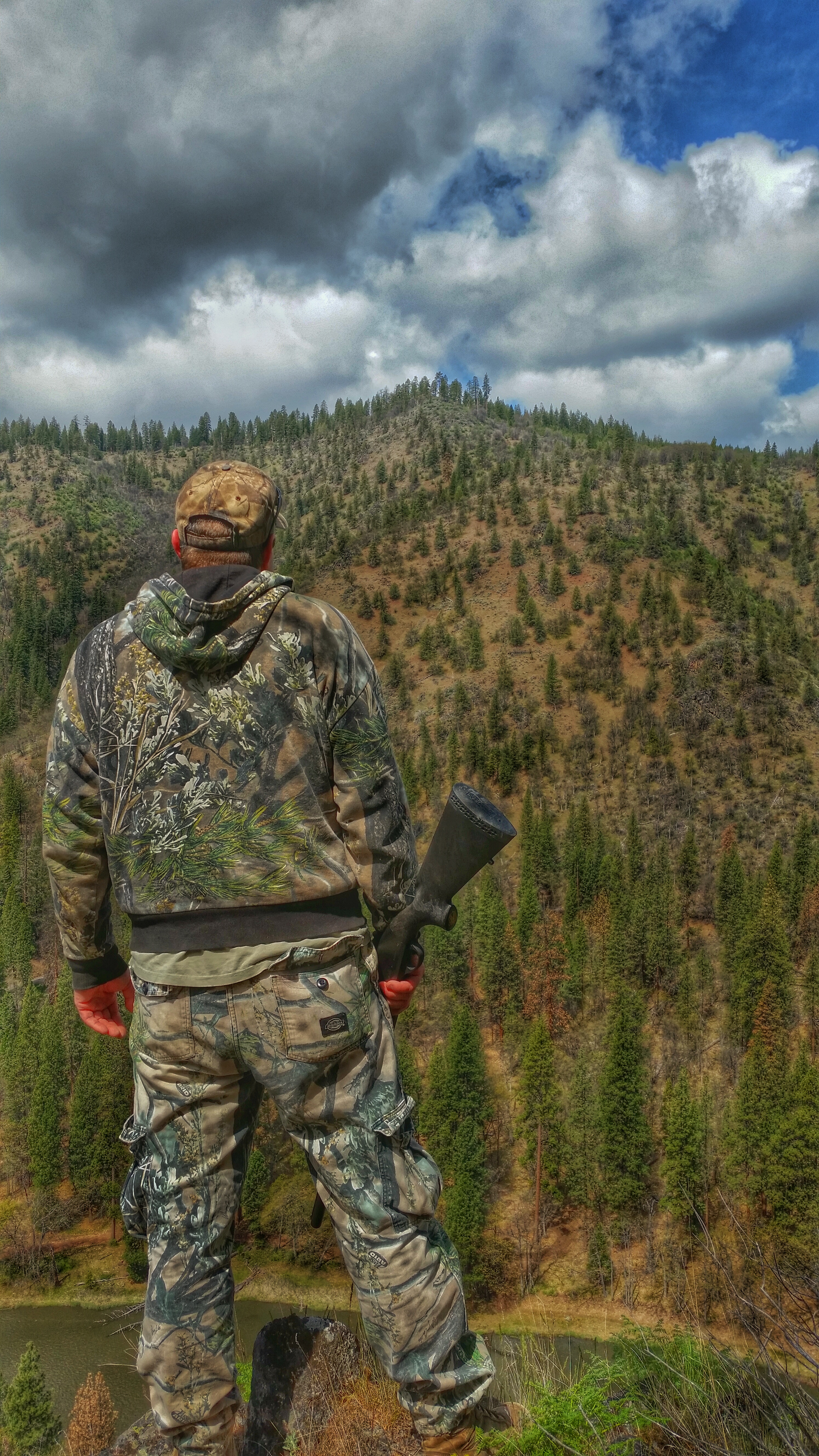
Enjoying the View
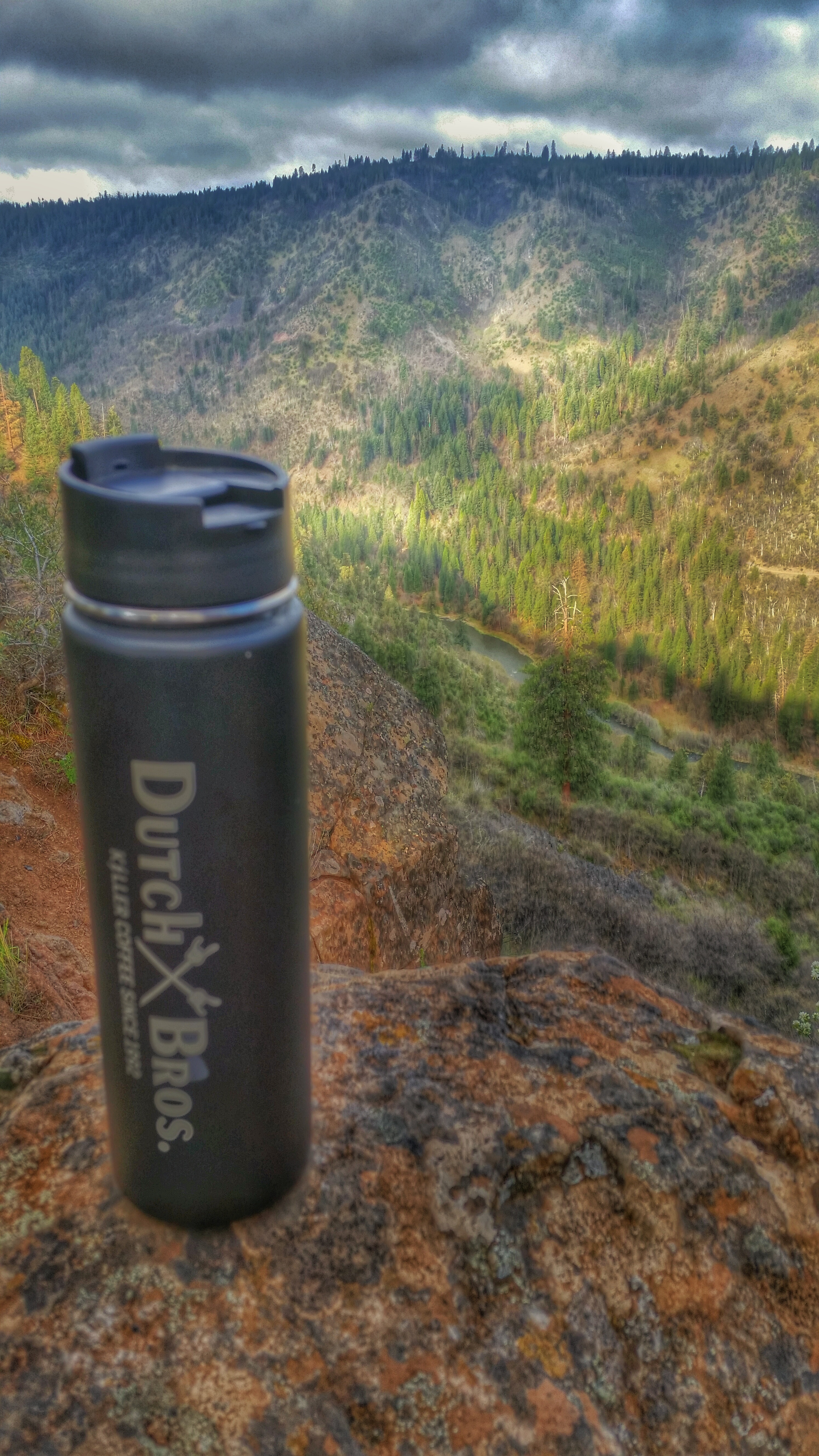
Coffee and a view

a2000-08-03

Dorris, California

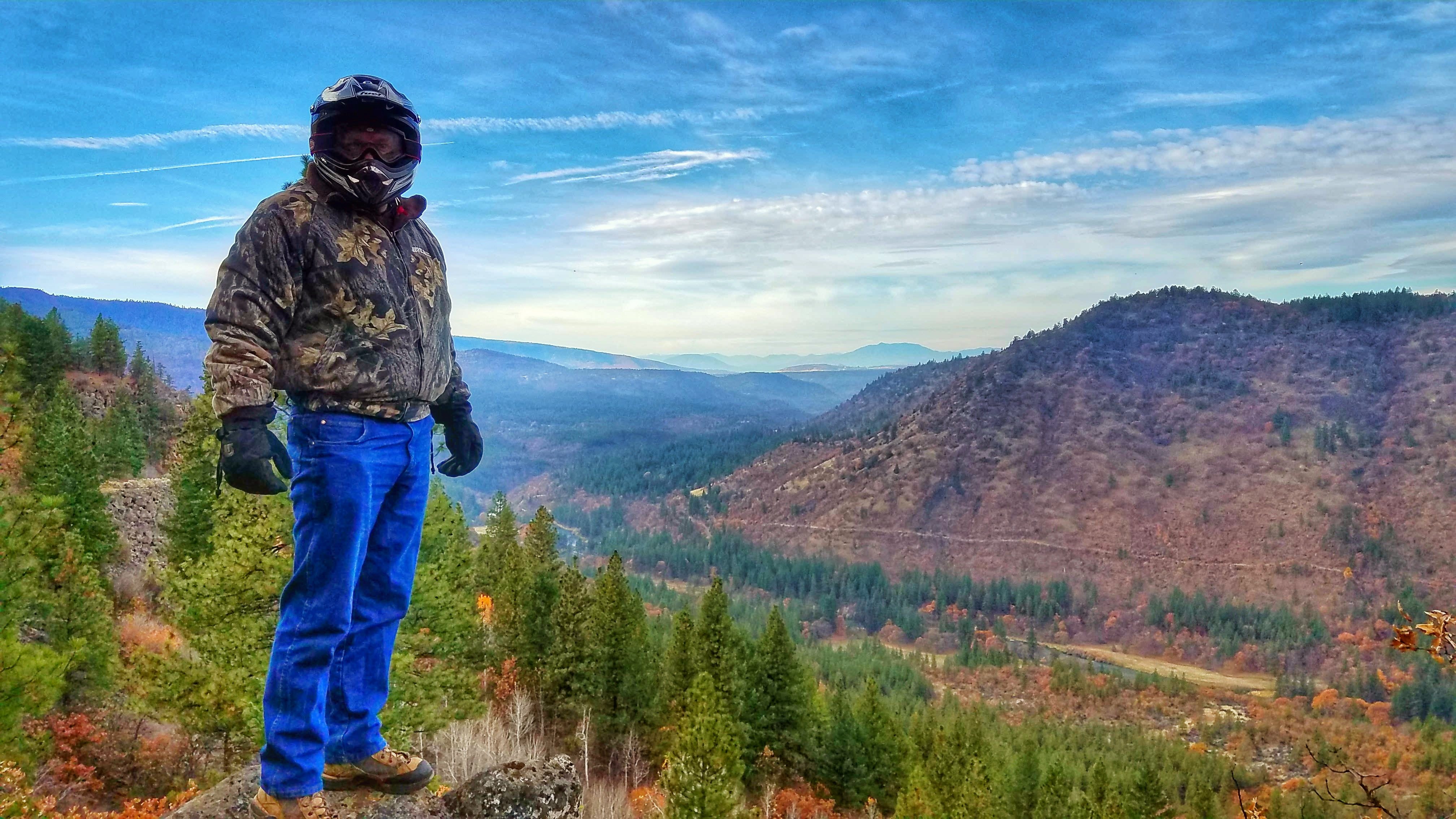
Looking for Bighorns
The Calm Near a Storm
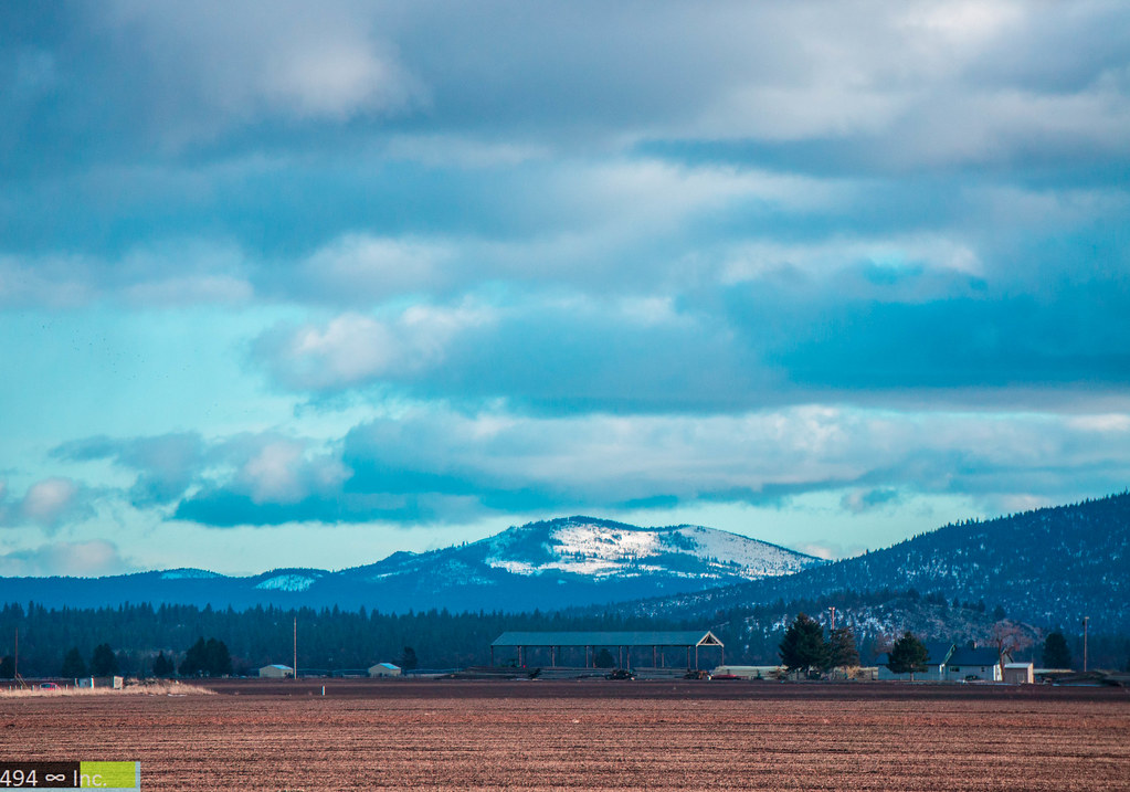
Dorris, California [03.29.13]
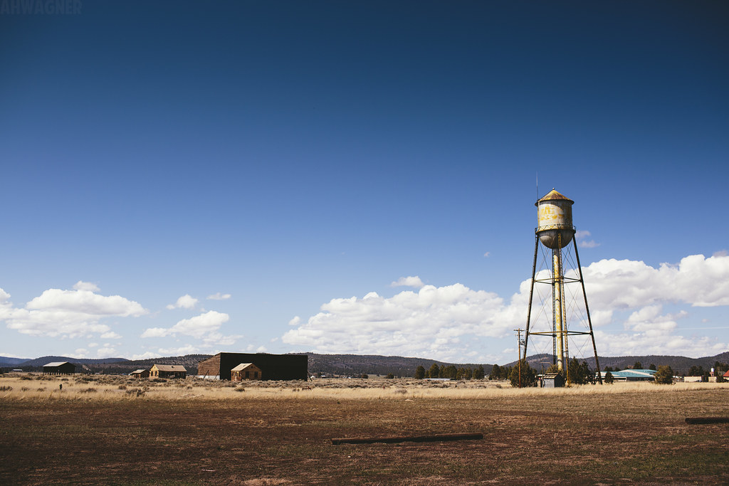
Macdoel, California
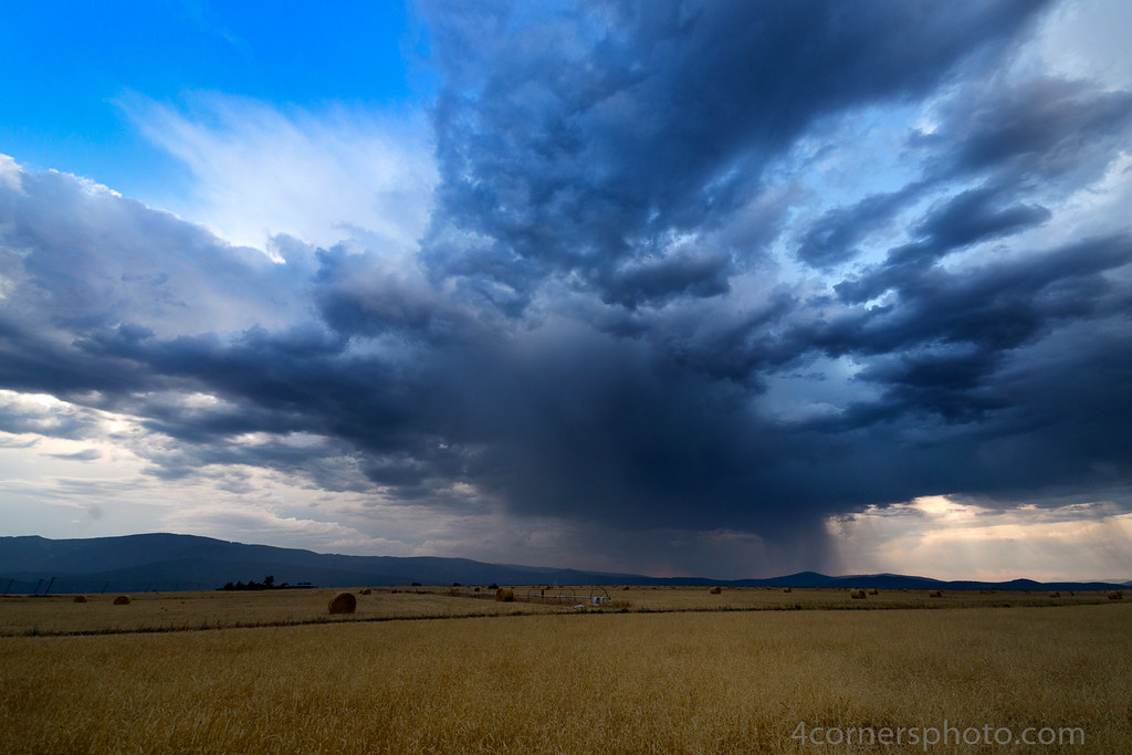
Thunderstorm and Hay, Macdoel, CA
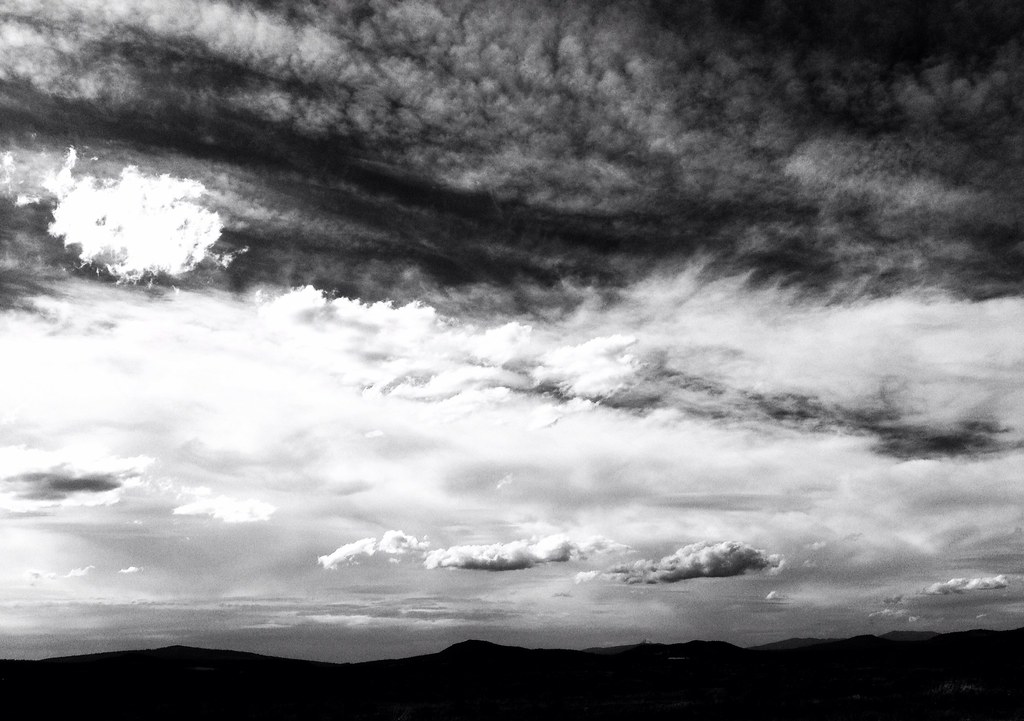
I Can See Forever

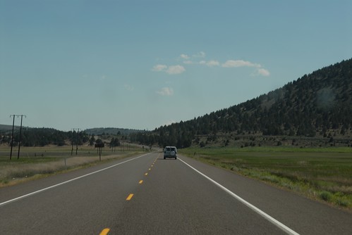
Hwy 97 in Macdoel, CA
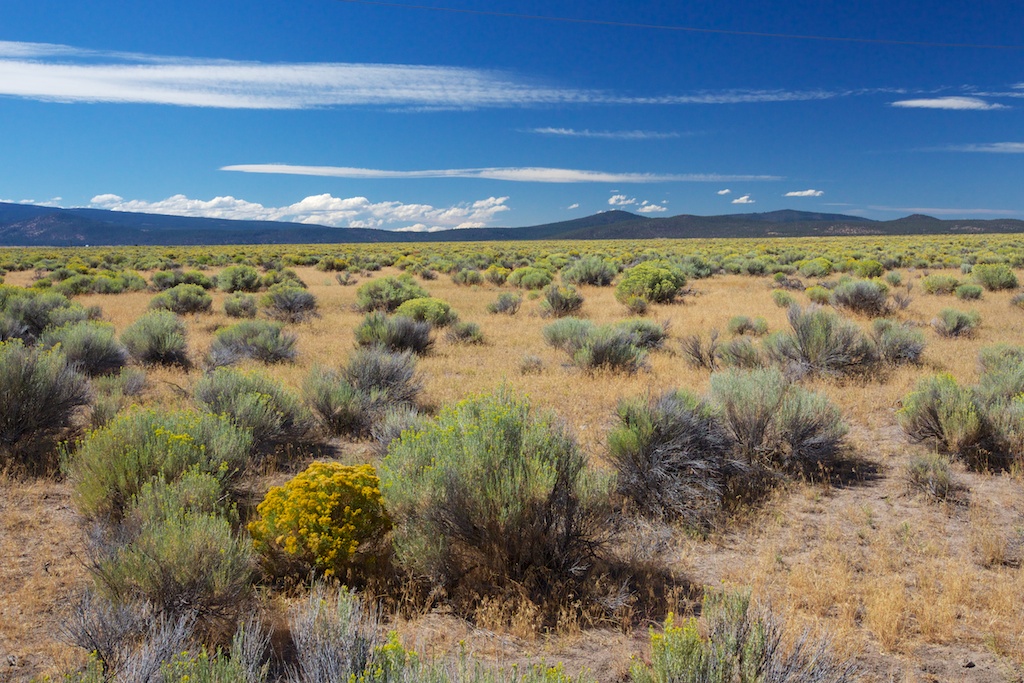
Butte Valley
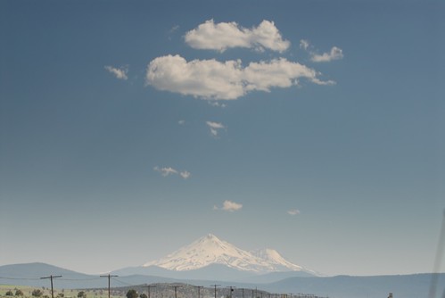
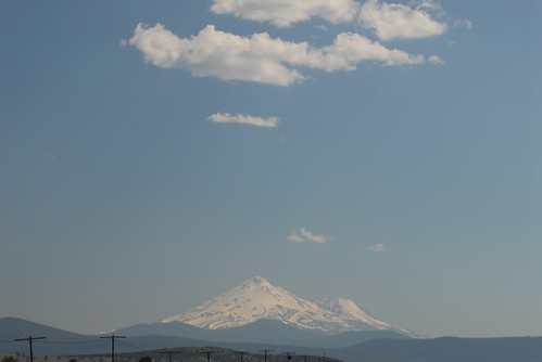
Mt. Shasta
U.S. Hwy 97 South
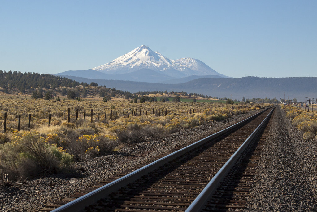
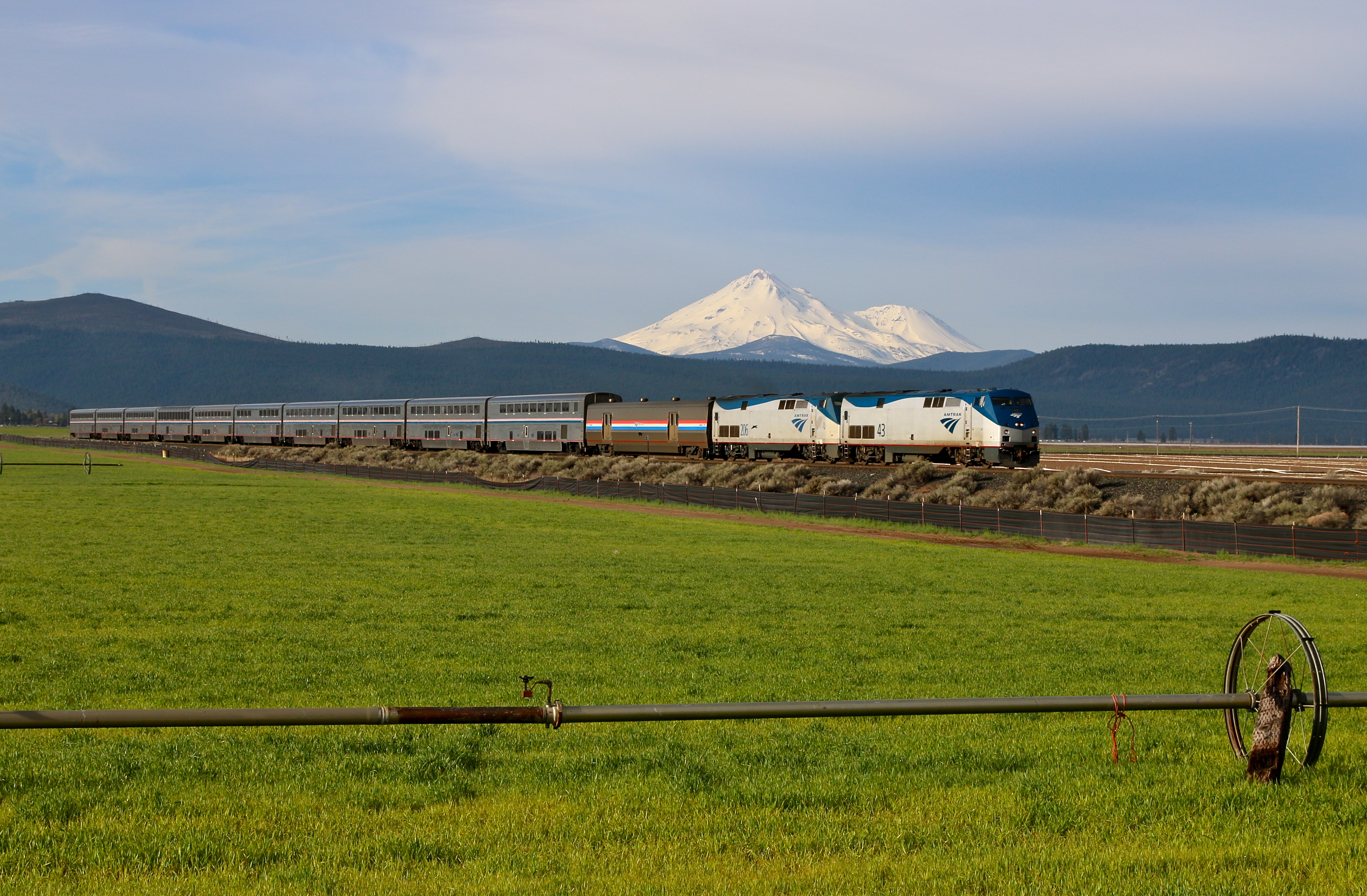
Mt. Shasta on the Tracks

2017-11-12 01.21.54 1
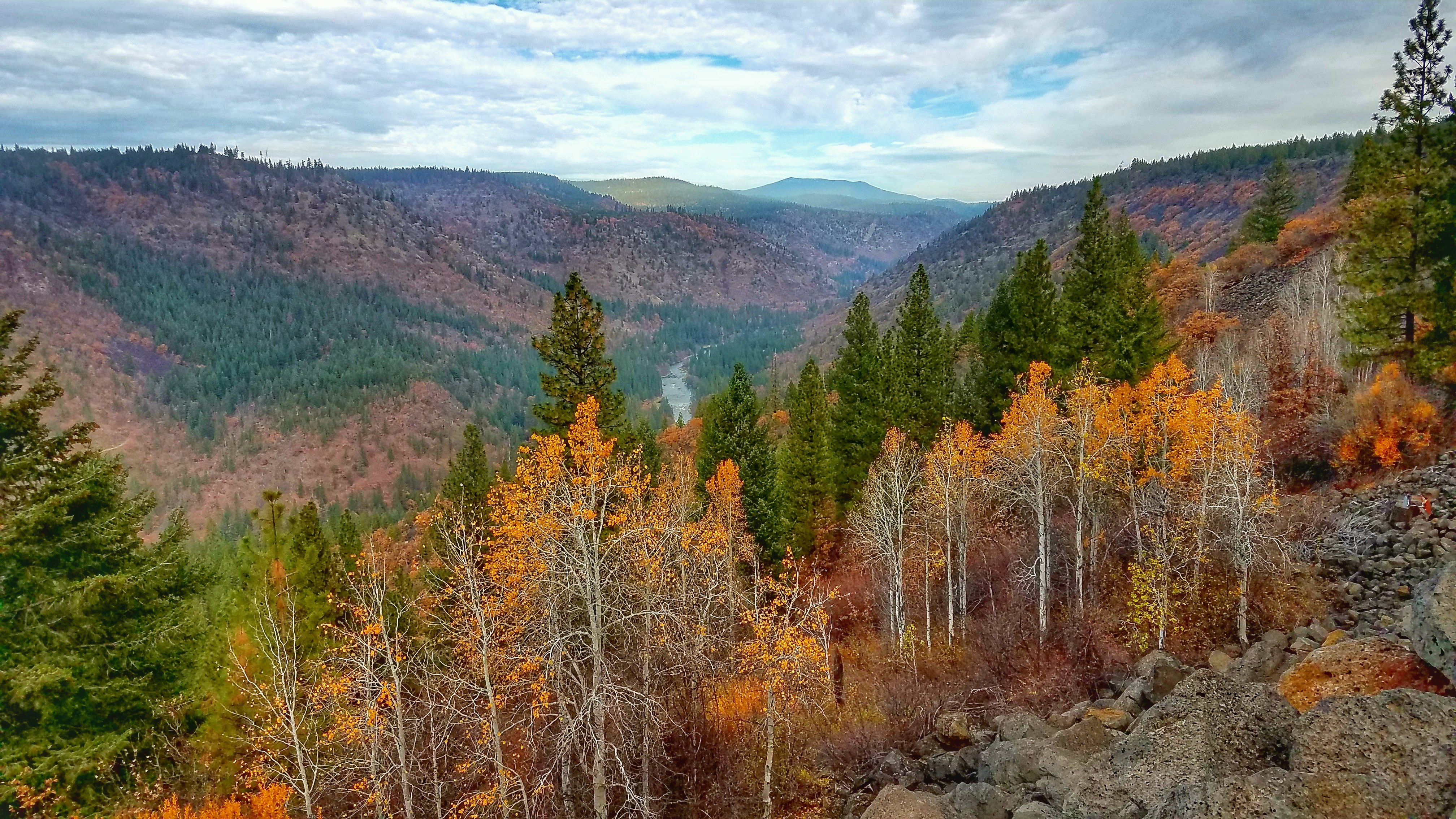
Riding the Klamath River Canyon
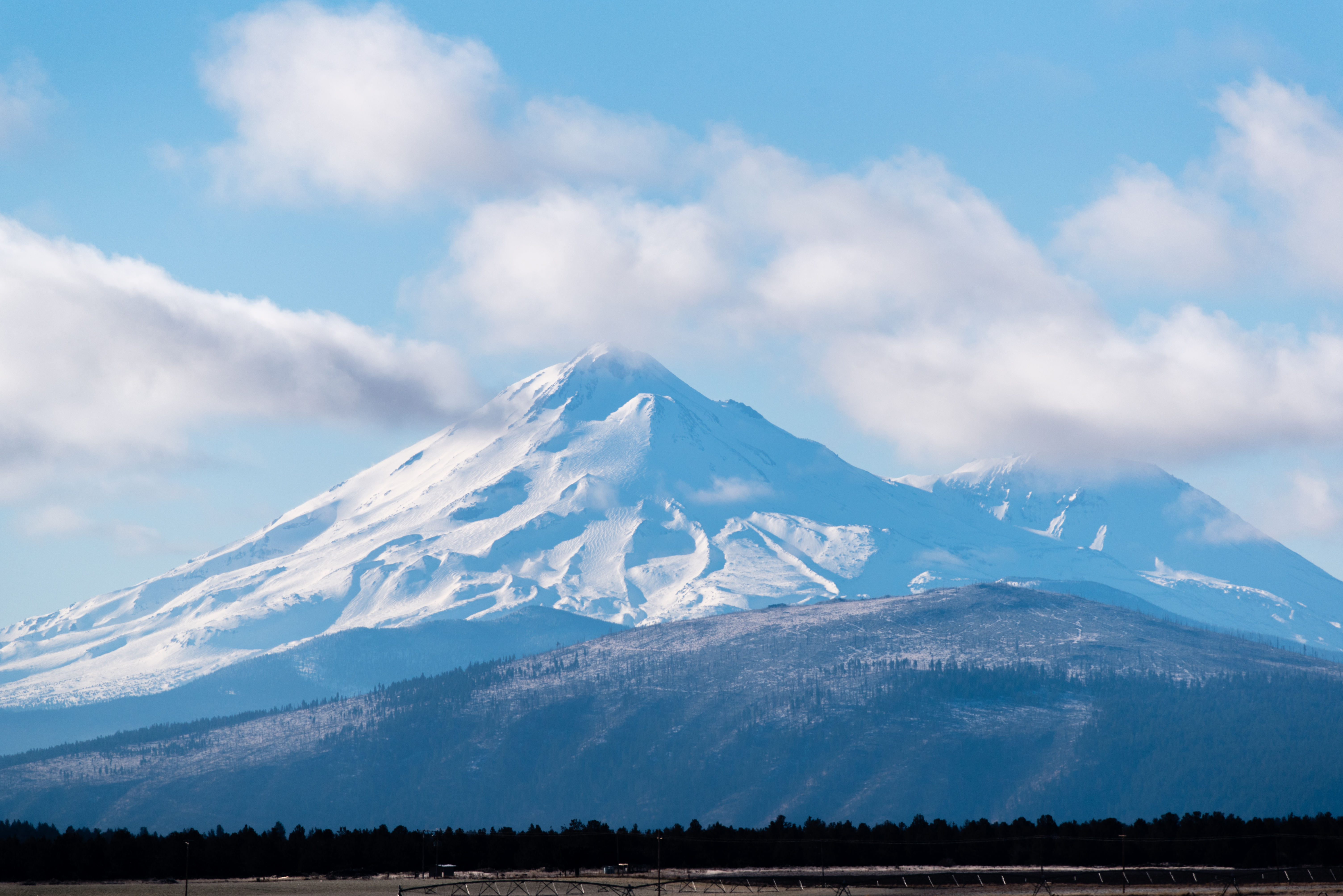
Mount Shasta

815_1268.NEF
Riding the Klamath River Canyon
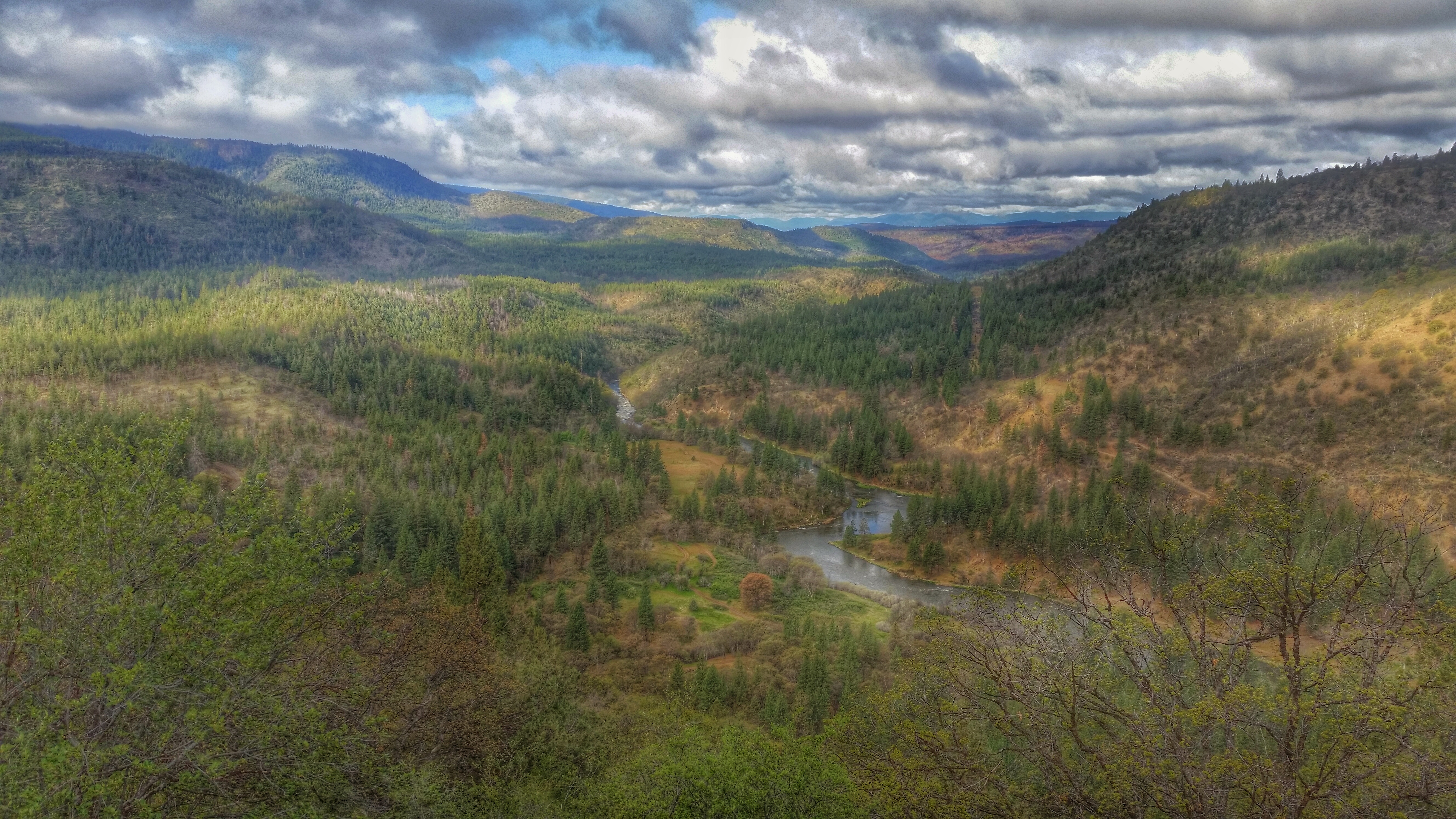
Klamath River Canyon
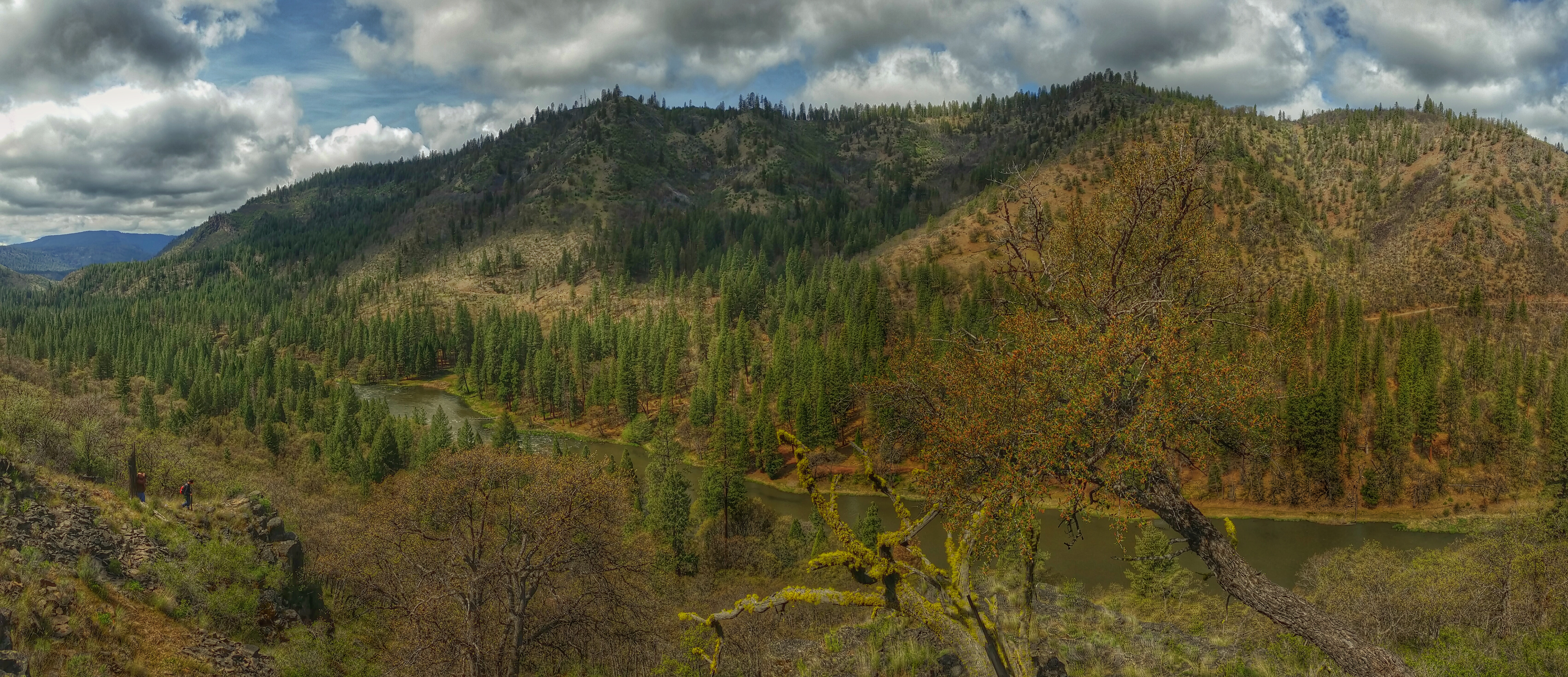
Klamath River Canyon Panorama
Mt. Shasta
Topographic Map of Andrews Rd, Dorris, CA, USA
Find elevation by address:

Places near Andrews Rd, Dorris, CA, USA:
5638 Rocky Ridge Rd
Old State Hwy, Macdoel, CA, USA
Macdoel
3330 Sheep Mountain Rd
King Ave, Macdoel, CA, USA
Dorris
Hamaker Mountain
Willow Creek Mountain
13615 Shamrock Ln
20270 Lefever St
12021 Overland Dr
18216 Freight Rd Ln
Keno
Goosenest
4000 Round Lake Rd
Grass Lake
Butte Creek
Midland
4030 Lower Klamath Lake Rd
2341 Cross Rd
Recent Searches:
- Elevation of Corso Fratelli Cairoli, 35, Macerata MC, Italy
- Elevation of Tallevast Rd, Sarasota, FL, USA
- Elevation of 4th St E, Sonoma, CA, USA
- Elevation of Black Hollow Rd, Pennsdale, PA, USA
- Elevation of Oakland Ave, Williamsport, PA, USA
- Elevation of Pedrógão Grande, Portugal
- Elevation of Klee Dr, Martinsburg, WV, USA
- Elevation of Via Roma, Pieranica CR, Italy
- Elevation of Tavkvetili Mountain, Georgia
- Elevation of Hartfords Bluff Cir, Mt Pleasant, SC, USA