Elevation of Andoung Meas, Cambodia
Location: Cambodia > Ratanakiri Province >
Longitude: 107.297673
Latitude: 13.8672865
Elevation: 125m / 410feet
Barometric Pressure: 100KPa
Elevation Map:
Satellite Map:
Related Photos:

DSC_8246

DSC_8161
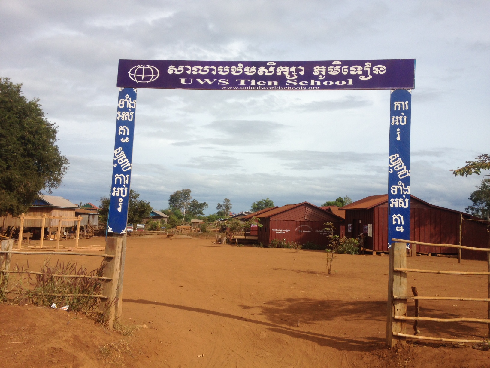
Tien school

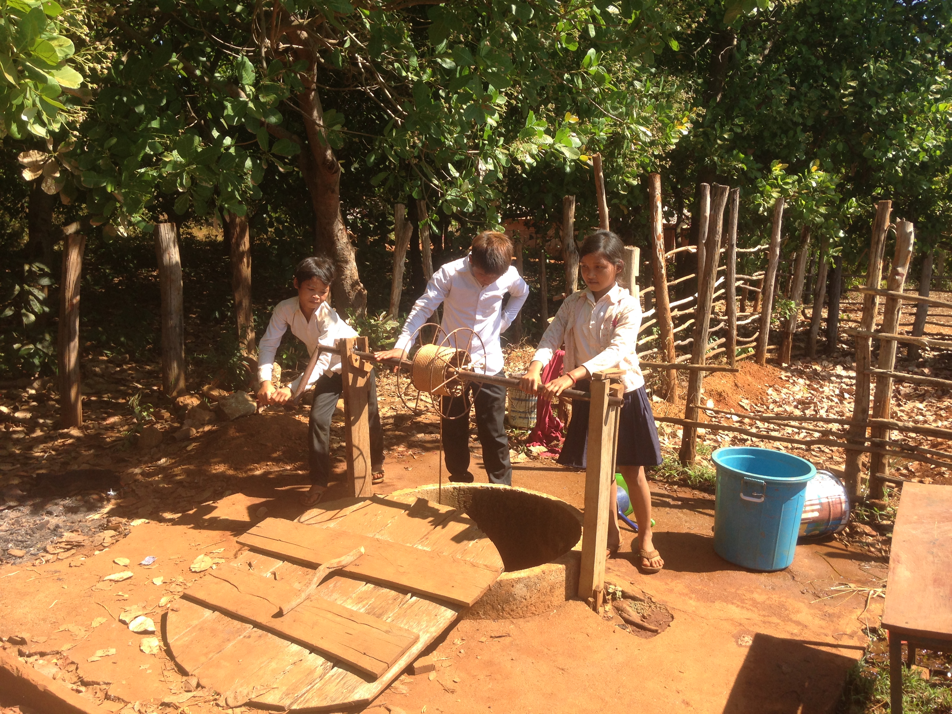
Fwd: Photos of tien school

Fwd: Photos of tien school

Tien school

Tien school

Chai thom
Chai thom

Chai thom
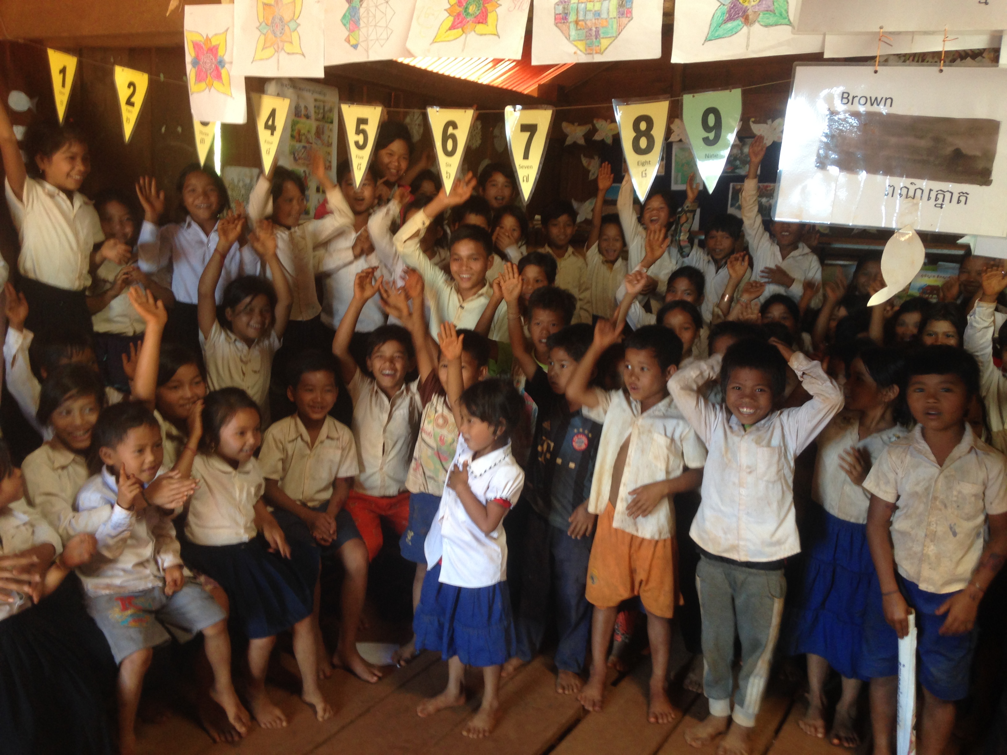
Chai thom
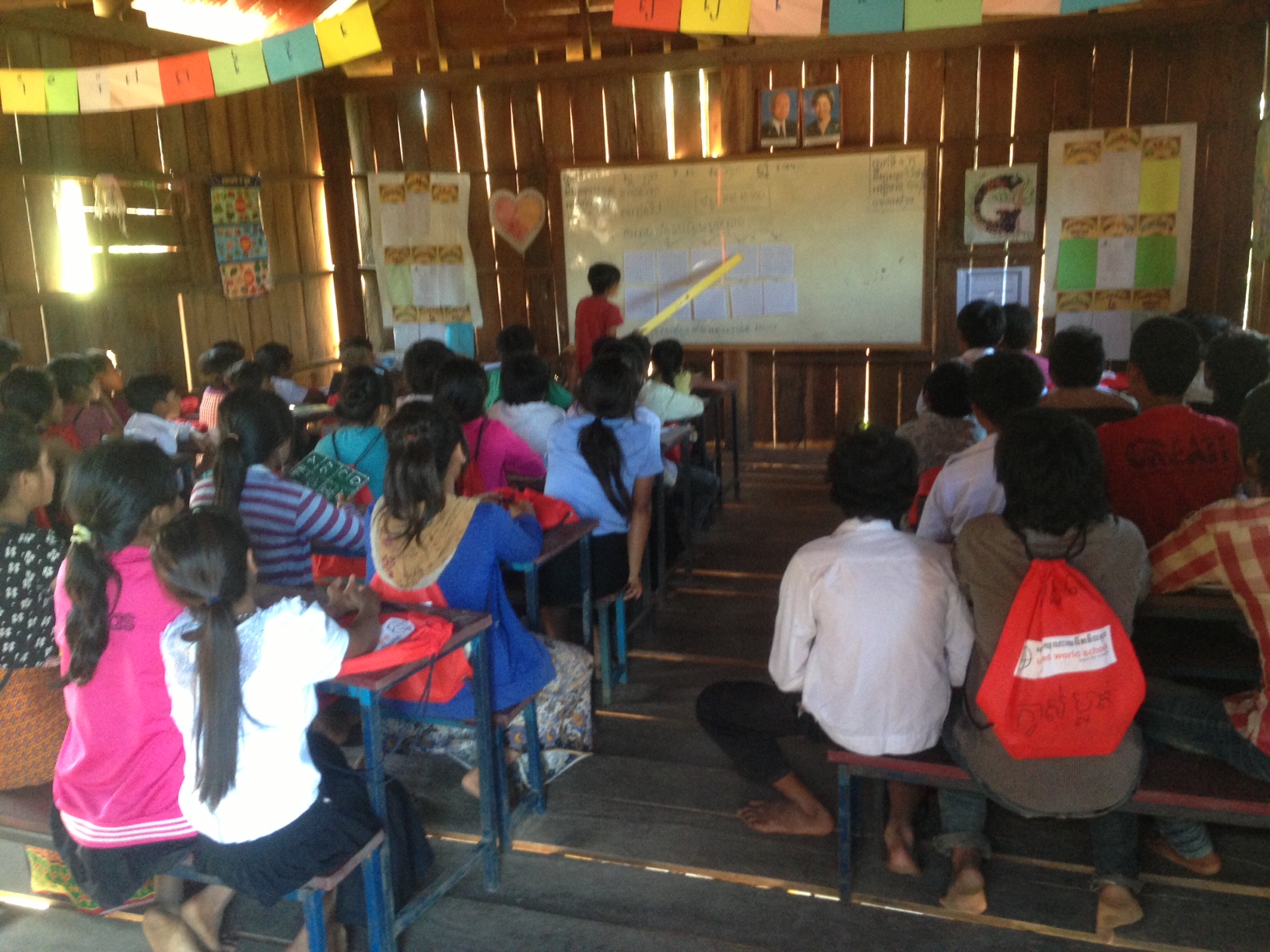
Lesson in Padol School Cambodia with UWS Schoolbag
Topographic Map of Andoung Meas, Cambodia
Find elevation by address:

Places near Andoung Meas, Cambodia:
Ratanakiri Province
Banlung
Đức Cơ District
Ia Púch
Ia Drang Valley
Chư Prông District
Pleiku. Gia Lai
Pleiku
Gia Lai Province
Vietnam
Mondulkiri
Pech Chreada
Phường Đạt Hiếu
Buon Ma Thuot
Đắk Lắk Province
Recent Searches:
- Elevation of Corso Fratelli Cairoli, 35, Macerata MC, Italy
- Elevation of Tallevast Rd, Sarasota, FL, USA
- Elevation of 4th St E, Sonoma, CA, USA
- Elevation of Black Hollow Rd, Pennsdale, PA, USA
- Elevation of Oakland Ave, Williamsport, PA, USA
- Elevation of Pedrógão Grande, Portugal
- Elevation of Klee Dr, Martinsburg, WV, USA
- Elevation of Via Roma, Pieranica CR, Italy
- Elevation of Tavkvetili Mountain, Georgia
- Elevation of Hartfords Bluff Cir, Mt Pleasant, SC, USA