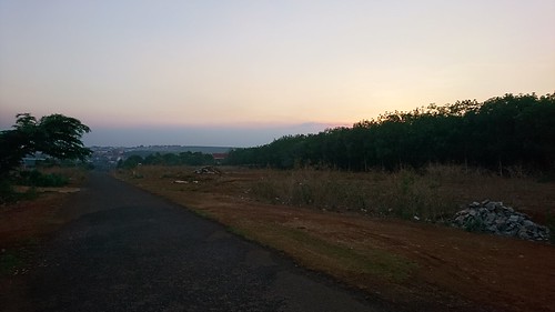
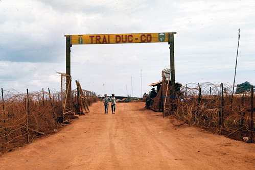
Elevation of Đức Cơ District, Gia Lai, Vietnam
Location: Vietnam > Gia Lai Province >
Longitude: 107.621532
Latitude: 13.7752327
Elevation: 358m / 1175feet
Barometric Pressure: 97KPa
Related Photos:
Topographic Map of Đức Cơ District, Gia Lai, Vietnam
Find elevation by address:

Places near Đức Cơ District, Gia Lai, Vietnam:
Ia Púch
Ia Drang Valley
Chư Prông District
Andoung Meas
Pleiku. Gia Lai
Pleiku
Gia Lai Province
Ratanakiri Province
Banlung
Vietnam
Phường Đạt Hiếu
Mondulkiri
Buon Ma Thuot
Đắk Lắk Province
Pech Chreada
Recent Searches:
- Elevation of Corso Fratelli Cairoli, 35, Macerata MC, Italy
- Elevation of Tallevast Rd, Sarasota, FL, USA
- Elevation of 4th St E, Sonoma, CA, USA
- Elevation of Black Hollow Rd, Pennsdale, PA, USA
- Elevation of Oakland Ave, Williamsport, PA, USA
- Elevation of Pedrógão Grande, Portugal
- Elevation of Klee Dr, Martinsburg, WV, USA
- Elevation of Via Roma, Pieranica CR, Italy
- Elevation of Tavkvetili Mountain, Georgia
- Elevation of Hartfords Bluff Cir, Mt Pleasant, SC, USA


