Elevation of An-Nabi Musa
Longitude: 35.4317081
Latitude: 31.7864454
Elevation: -98m / -322feet
Barometric Pressure: 103KPa
Elevation Map:
Satellite Map:
Related Photos:

View to the Jordan Rift Valley near Mitzpe Yeriho
View from the Mount of Temptation at Jericho
The Good Samaritan's Inn. Looking S.W., ancient road, castle in foreground

View over Tell es-Sultan, 19.03.2016.
The Good Samaritan's Inn. On the Jericho road, looking N.E. showing ancient castle
View over Jericho, 19.03.2016.
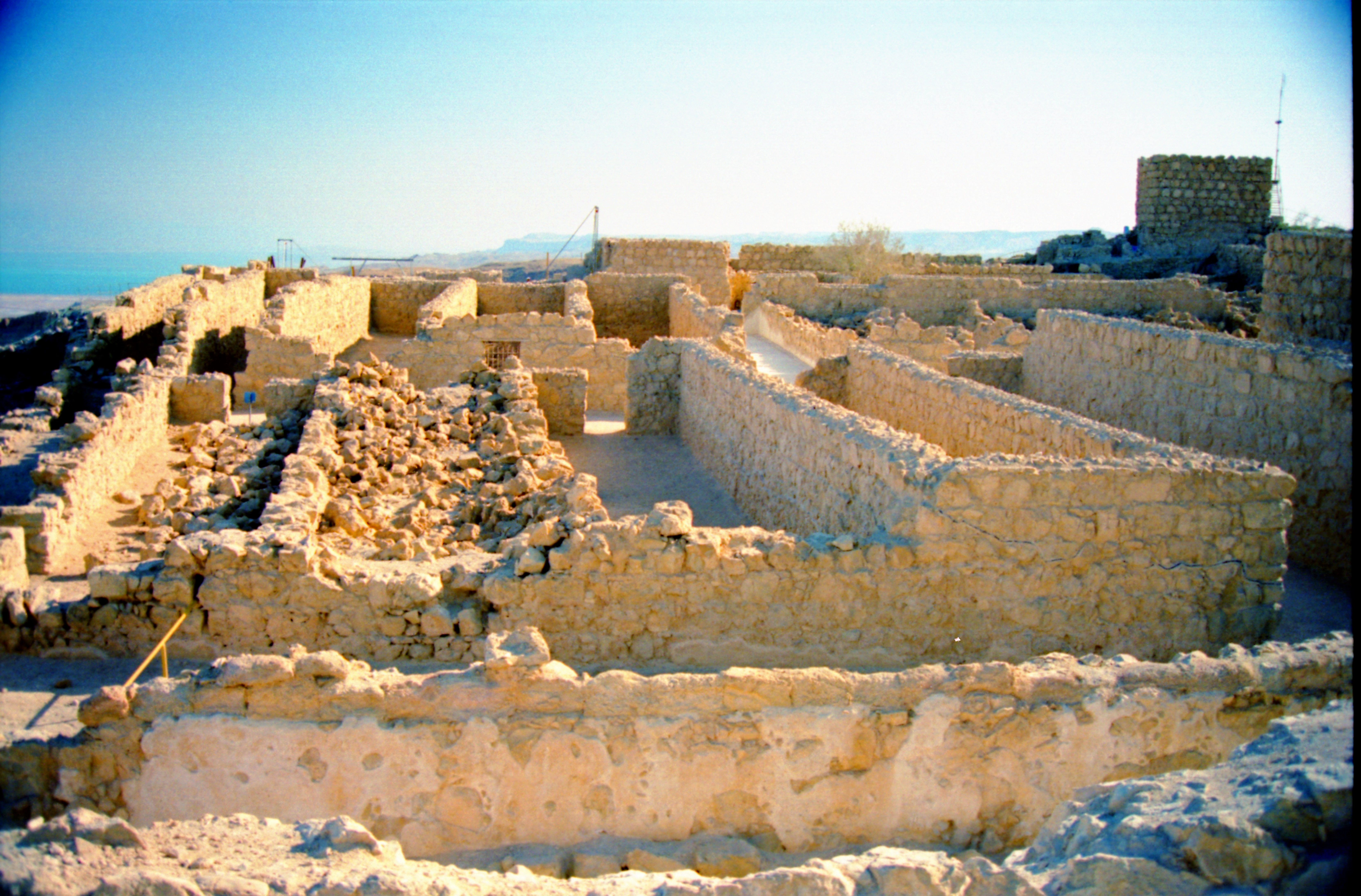
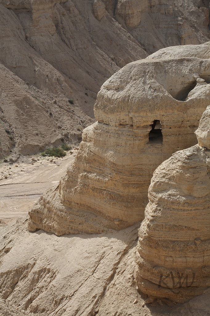
Cumran Ruins
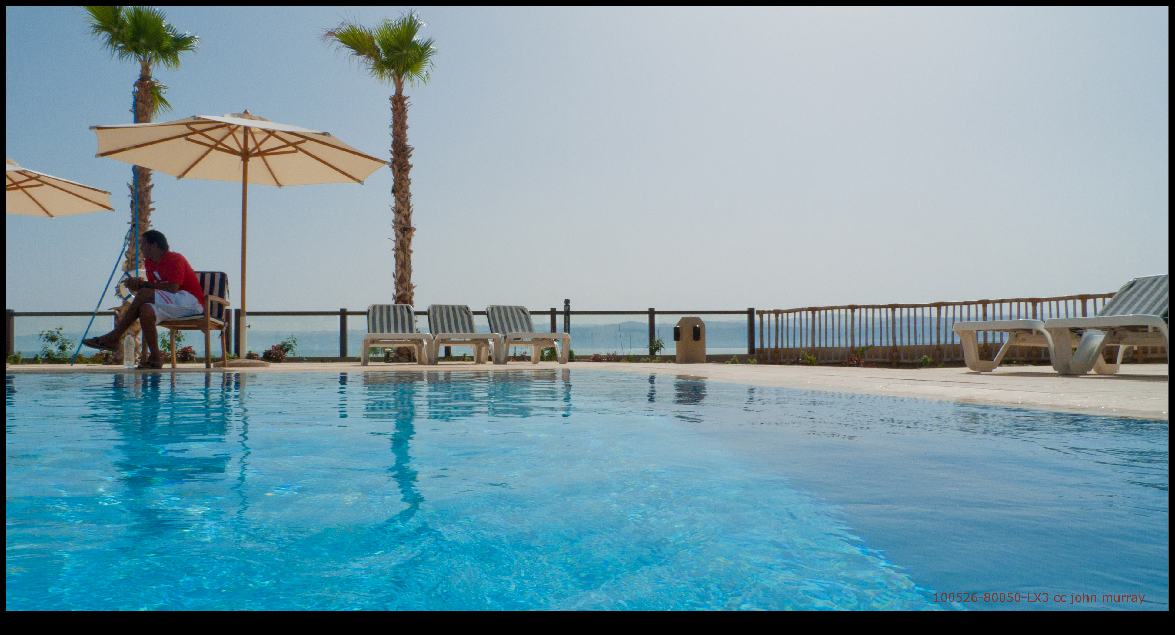
100526-80050-LX3
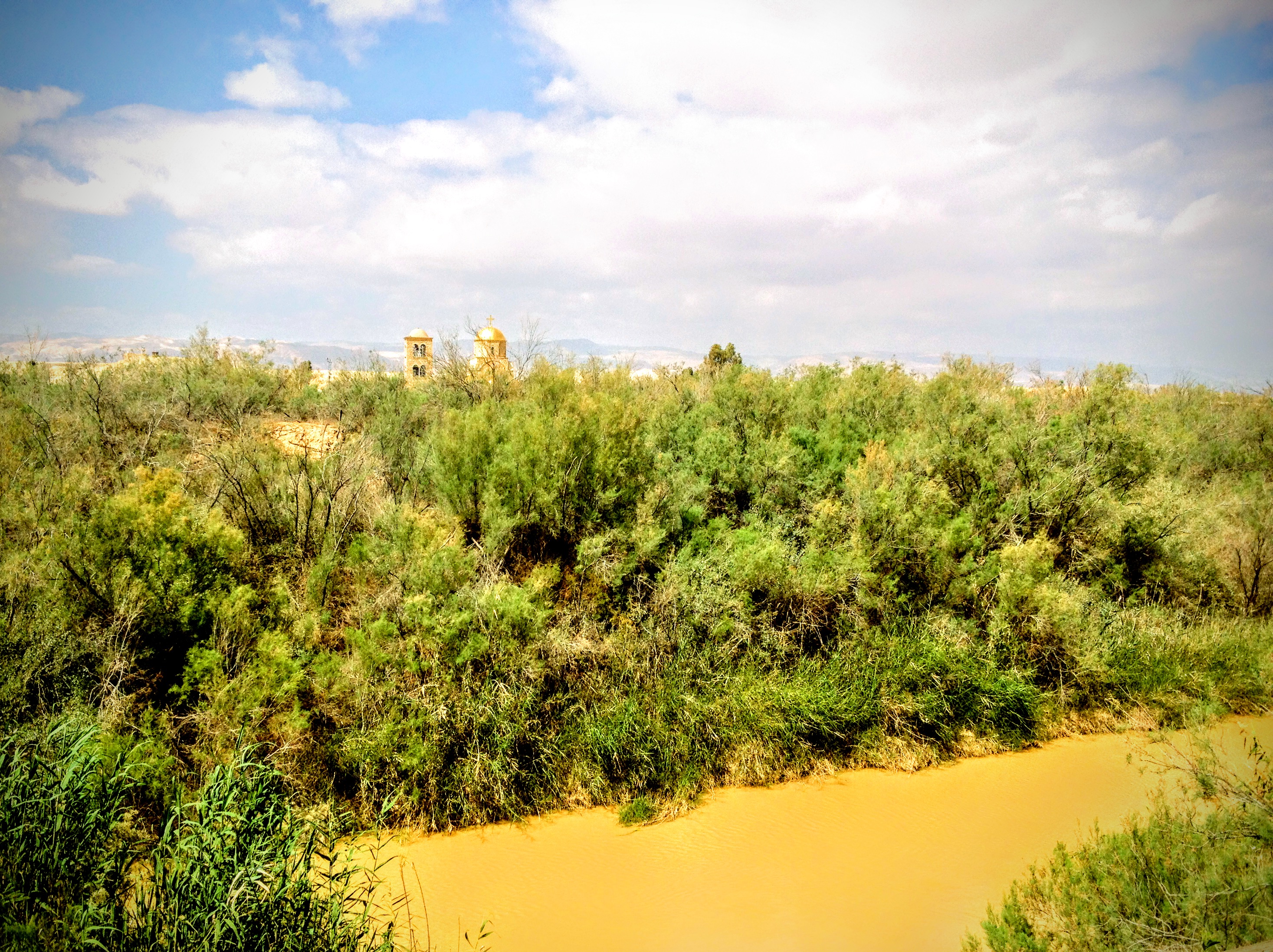
Baptism Site, Bethany Beyond the Jordan, Jordan

100526-80046-LX3

100526-80045-LX3

100526-80023-LX3

100526-80049-LX3
100526-80044-LX3

100526-80035-LX3
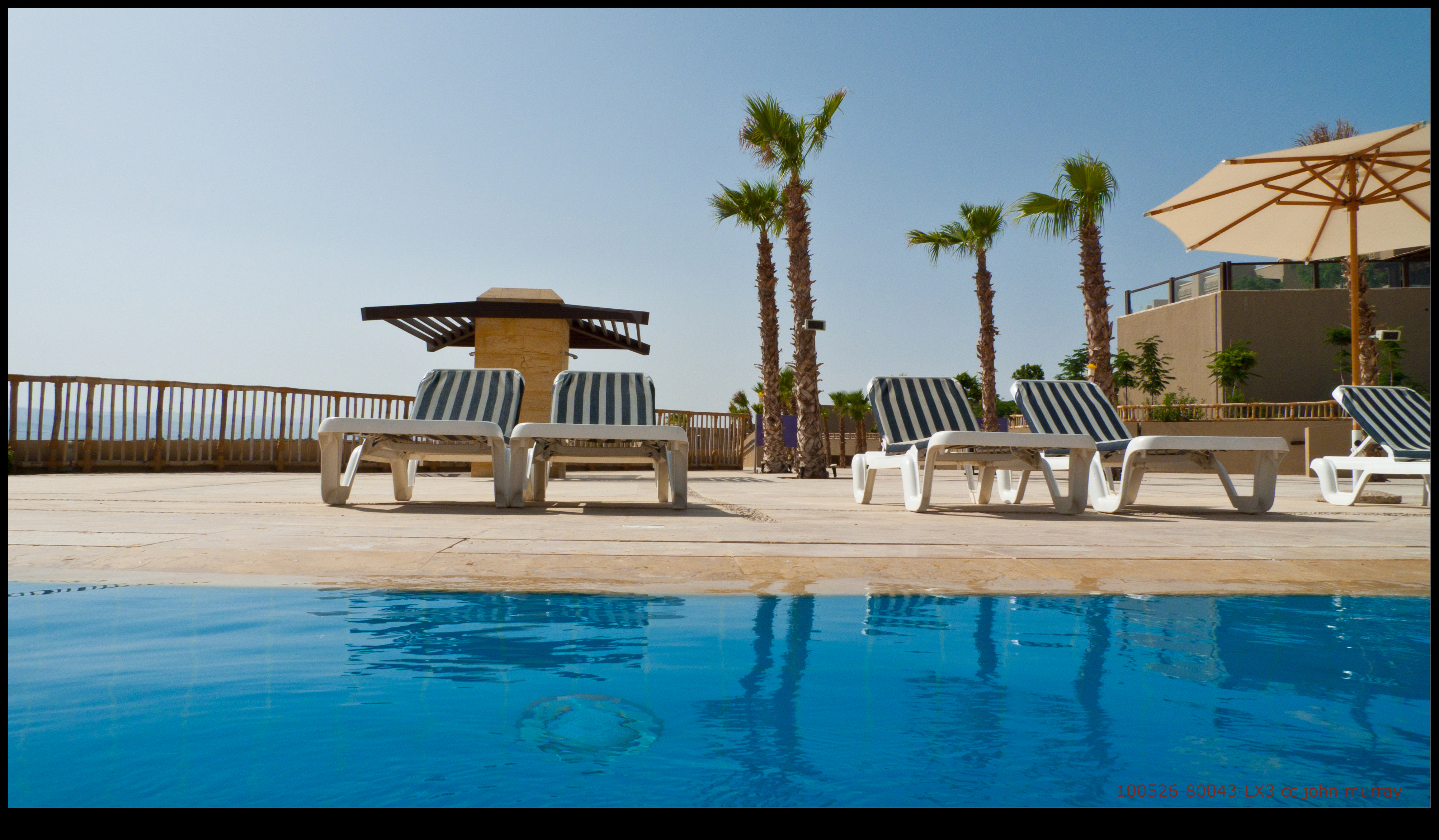
100526-80043-LX3

100526-80047-LX3

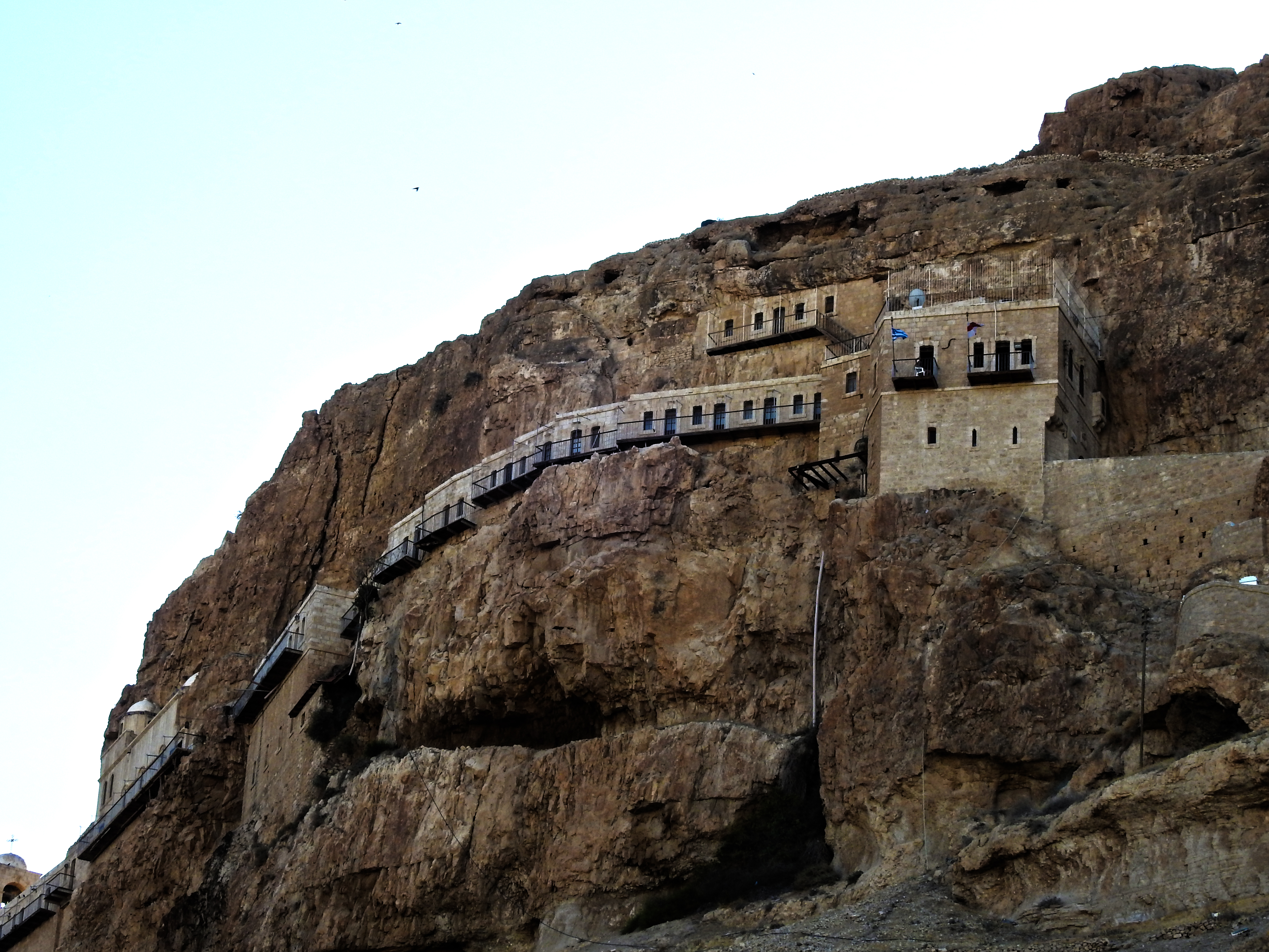
Mar Saba Convent. Looking S. showing bed of valley and roads to convent
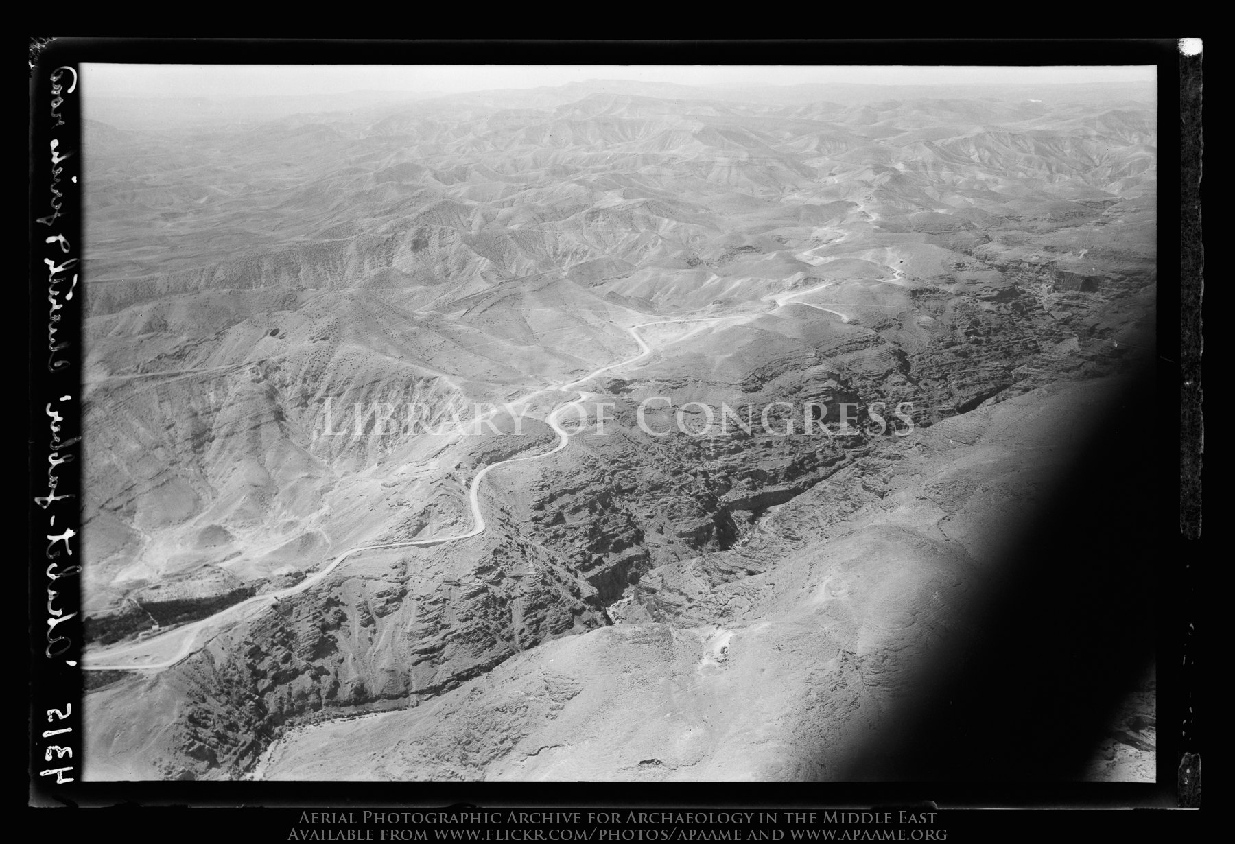
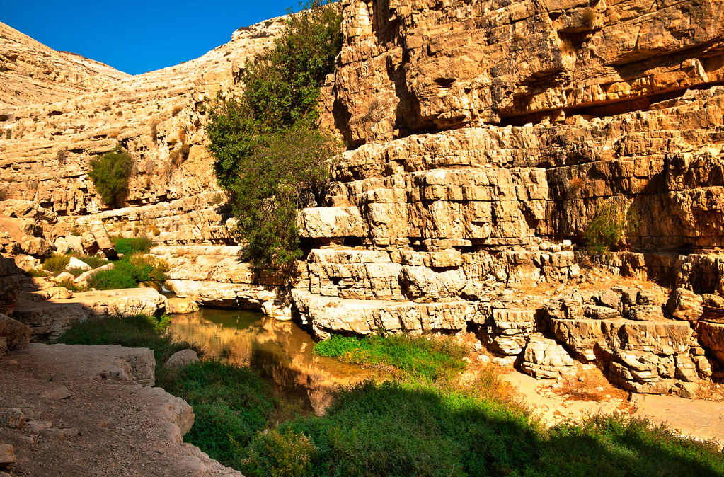
Jericho Road. The steep ascent from the plain. Seen across the Cherith gorge
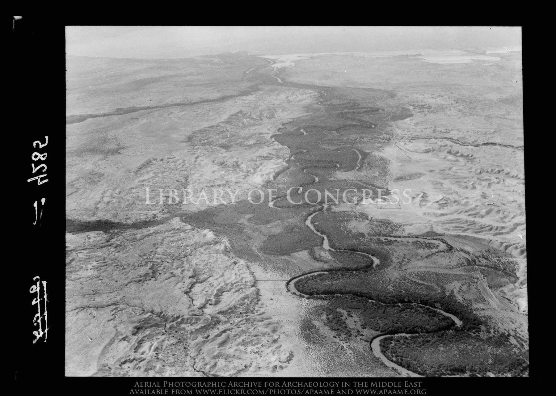
Jordan river. Area near convent of St. John (Bethany/Baptism Site)

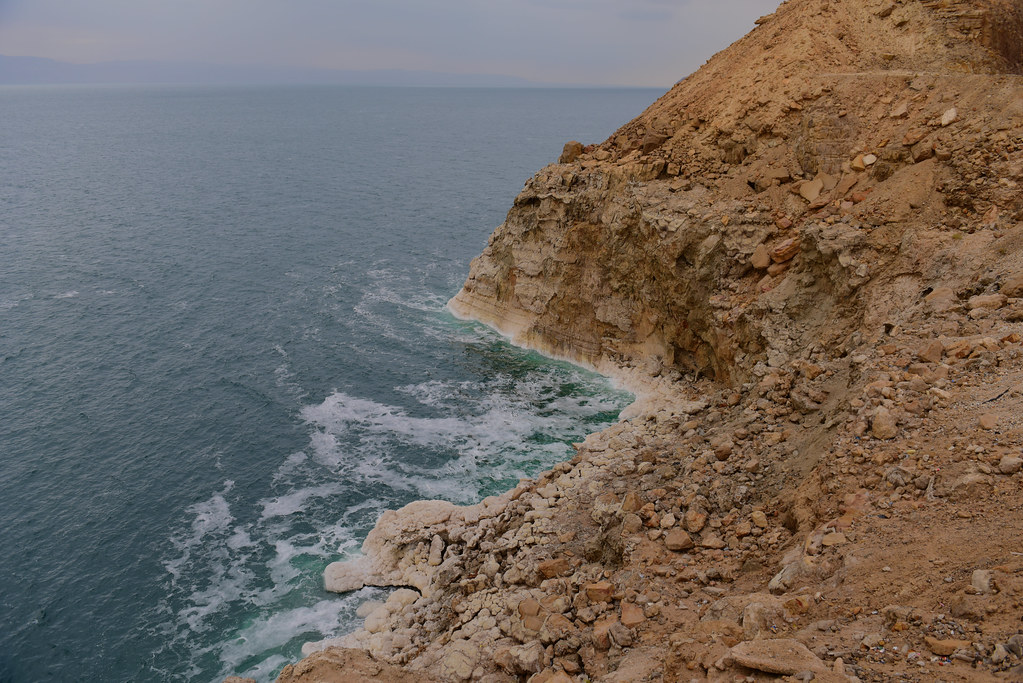
North end of Dead Sea. Mouth of the Jordan. View with north shore and salt pans looking N.W.
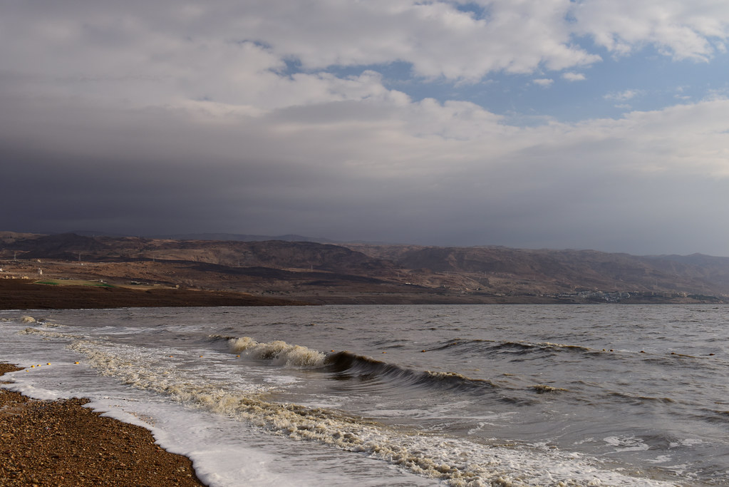
Dead Sea, Jordan, January 2018 1435
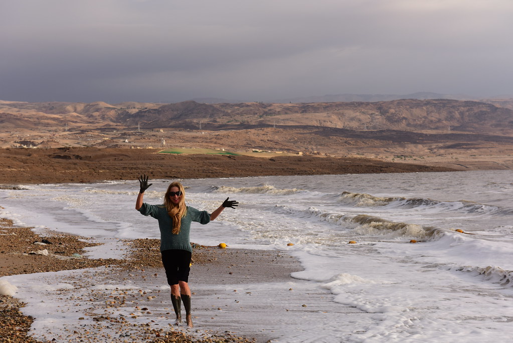
Dead Sea, Jordan, January 2018 1448
Mount of Tentation
Dead Sea, Jordan, January 2018 1428
Clouds over Qumran
180305 Holy Land 1220

Dead Sea, Jordan, January 2018 1438
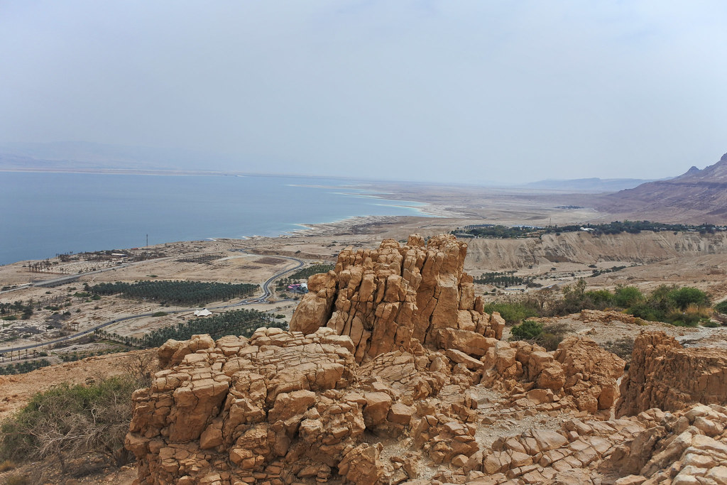
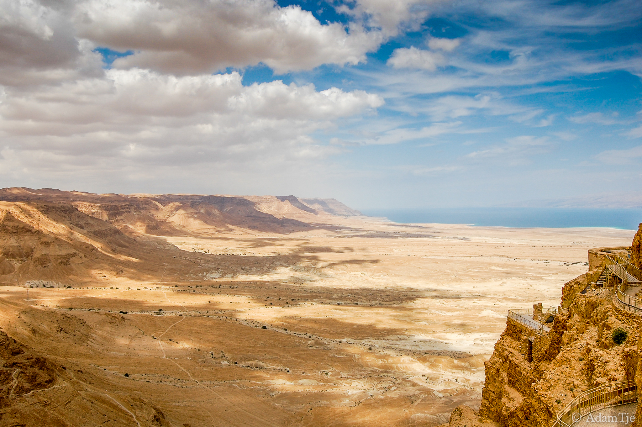
Valley and the Sea

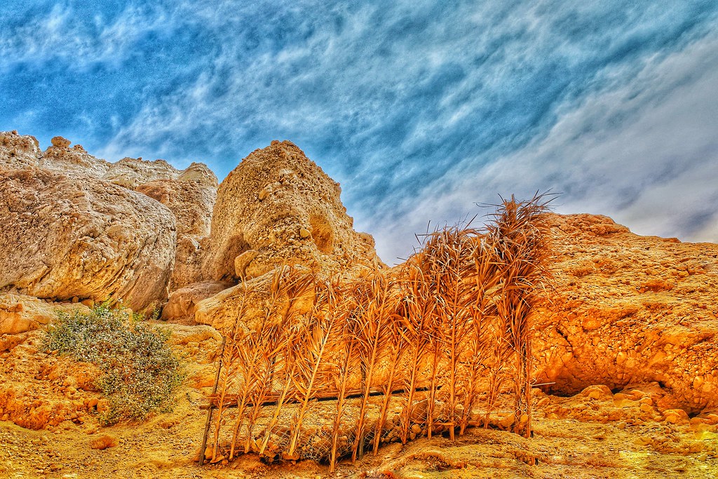
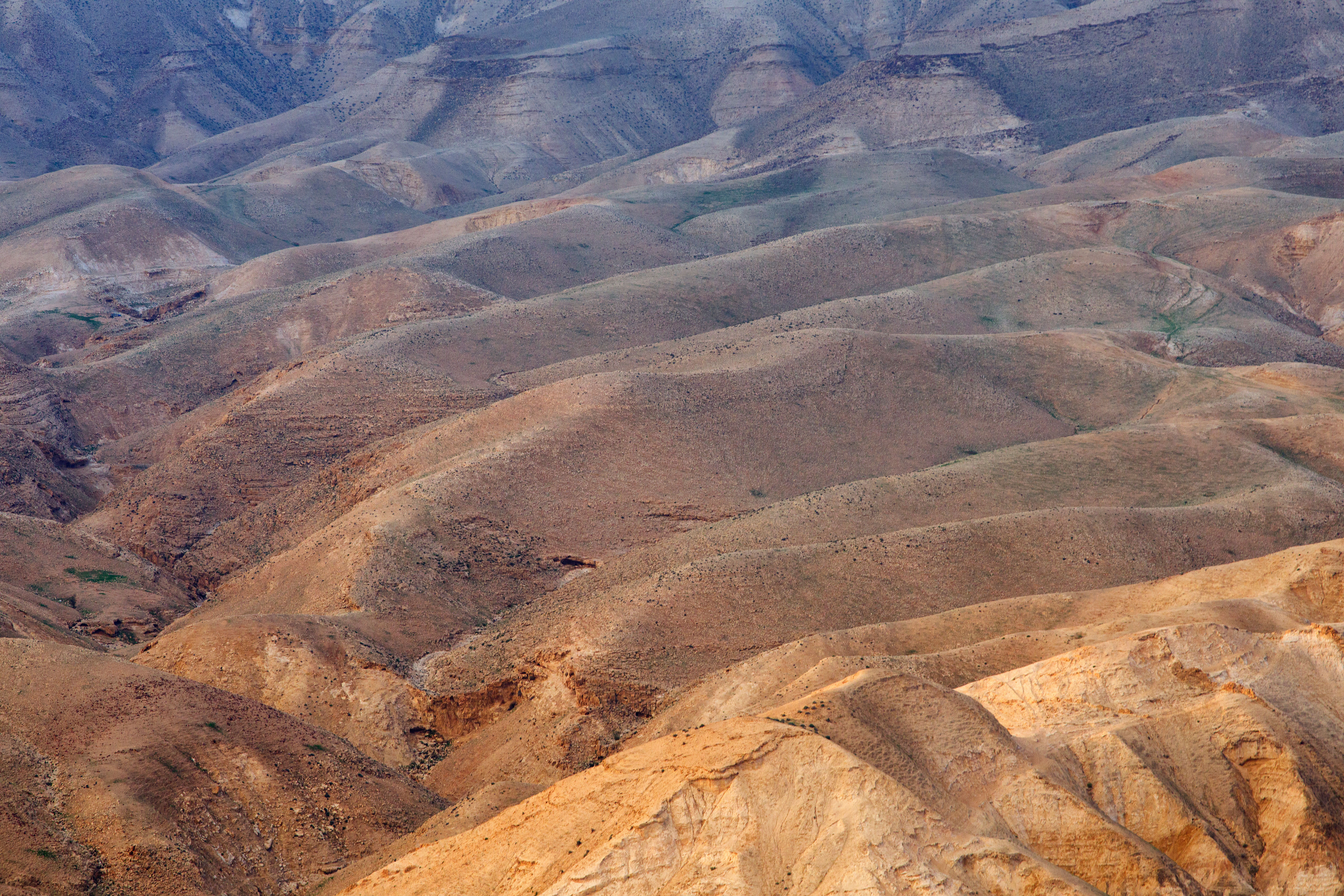
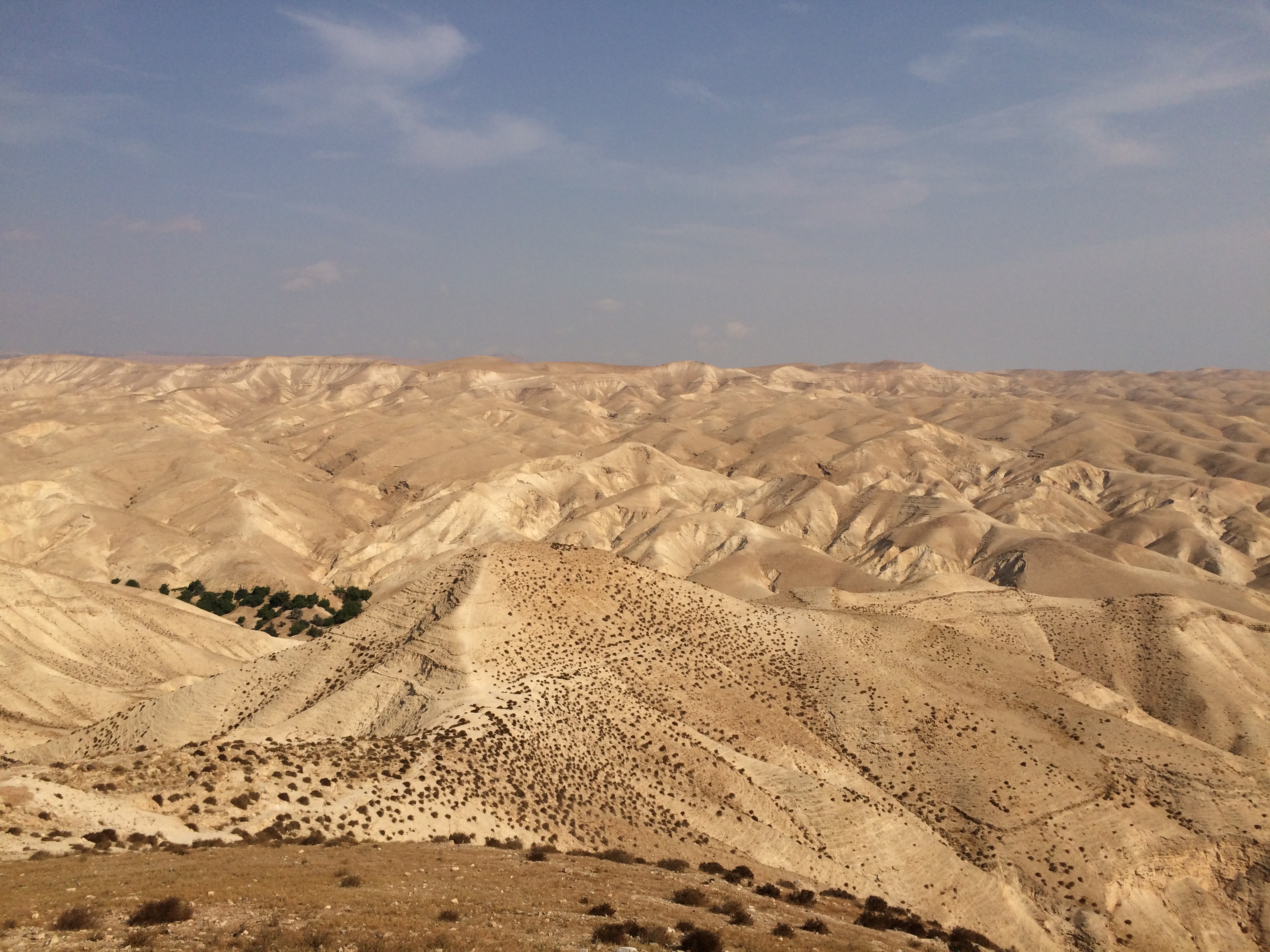
Judean Wilderness

Judean Wilderness
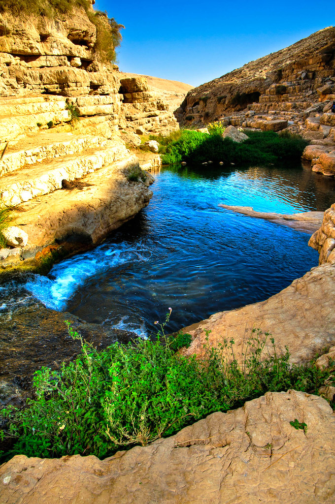
HDR tonemapped: The Judean Desert

Desert on way to Jericho
BL_TRL_Kelt-20101120-0093_tonemapped-Edit.jpg
Deserto di Giuda

Deserto di Giuda

deserted desert
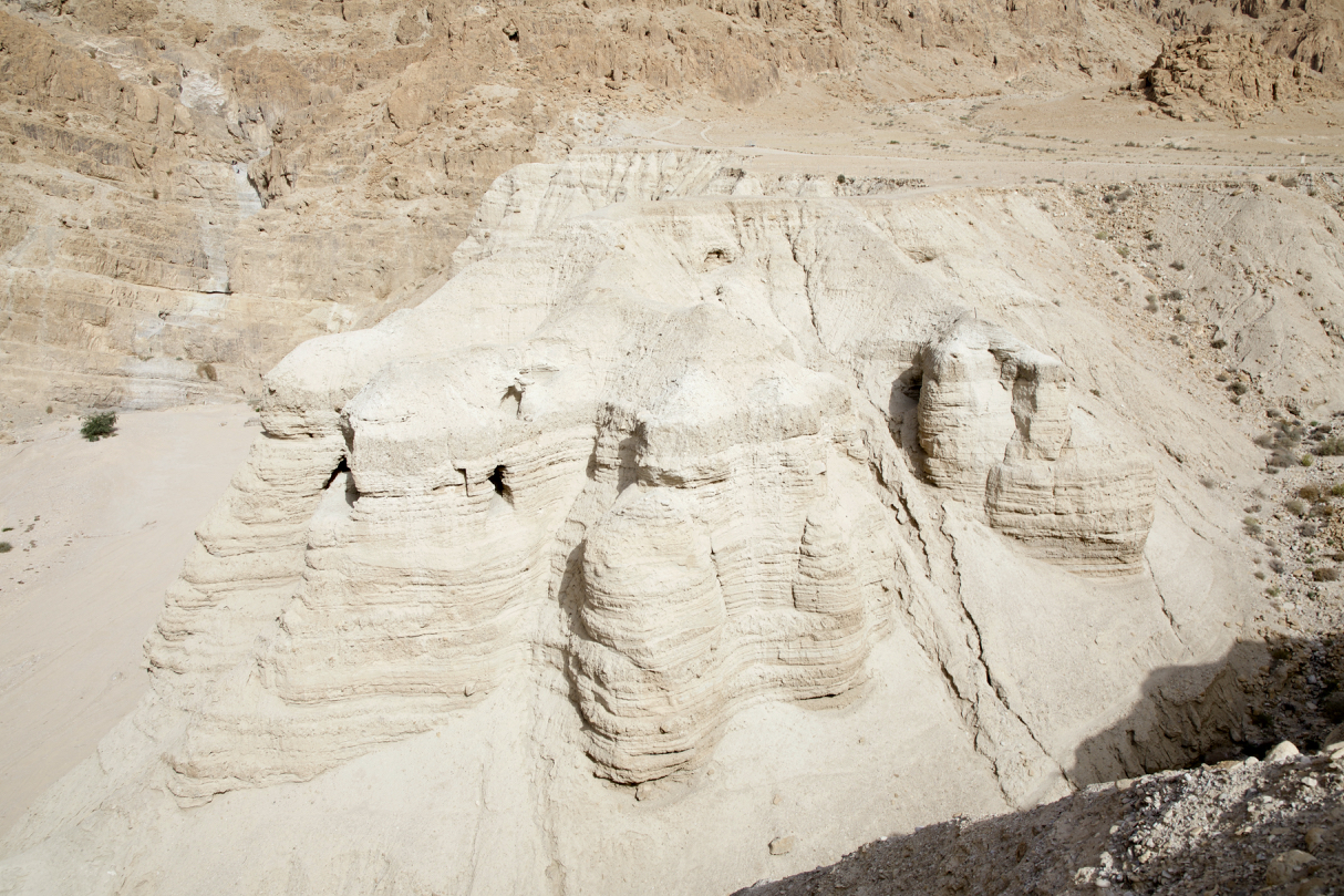
Israel: Qumran National Park

Judean Wilderness
Judean Wilderness
BL_TRL_Kelt-20101120-0149_50_51_52_53-Edit.jpg
Judean Wilderness
Topographic Map of An-Nabi Musa
Find elevation by address:

Places near An-Nabi Musa:
Almog
1
Mitzpe Yeriho
Avnat College
Nahal Kidron
Ma'ale Adumim
Al-eizariya
Alza'im
Anata
Lazarus Tomb
Jericho Road/Al-Azariya
Ash-sheikh Sa'd
Bethphage
Augusta Victoria Hospital
Mount Of Olives
Mount Scopus
Mount Of Olives
Gethsemane
Mount Of Olives
Absalom's Tomb
Recent Searches:
- Elevation of Corso Fratelli Cairoli, 35, Macerata MC, Italy
- Elevation of Tallevast Rd, Sarasota, FL, USA
- Elevation of 4th St E, Sonoma, CA, USA
- Elevation of Black Hollow Rd, Pennsdale, PA, USA
- Elevation of Oakland Ave, Williamsport, PA, USA
- Elevation of Pedrógão Grande, Portugal
- Elevation of Klee Dr, Martinsburg, WV, USA
- Elevation of Via Roma, Pieranica CR, Italy
- Elevation of Tavkvetili Mountain, Georgia
- Elevation of Hartfords Bluff Cir, Mt Pleasant, SC, USA