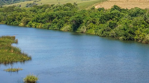
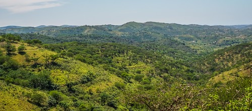
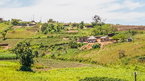
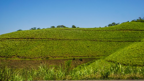
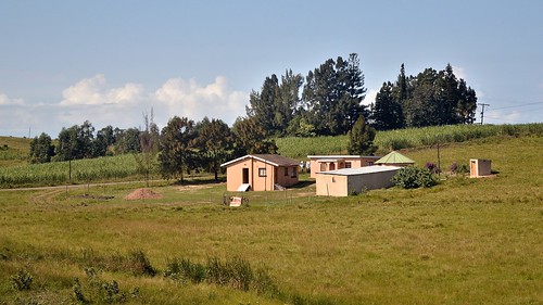
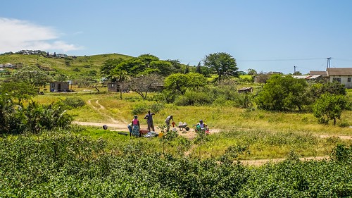
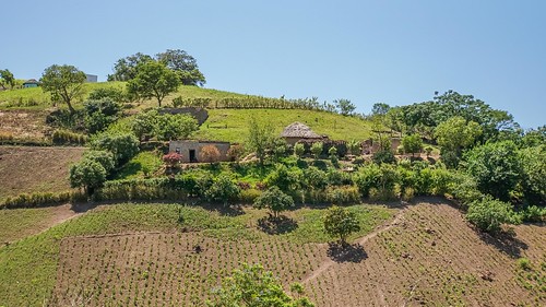
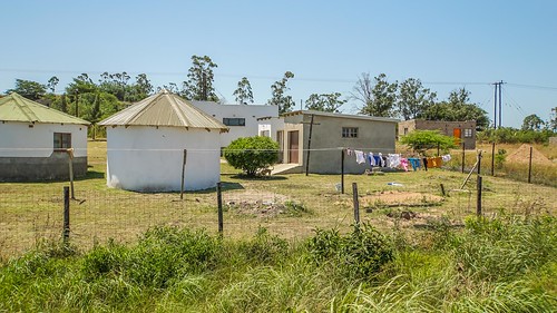
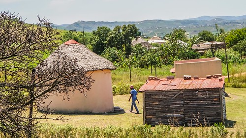
Elevation of Amatikulu, South Africa
Location: South Africa > Kwazulu-natal > (south) Uthungulu Dc >
Longitude: 31.5304499
Latitude: -29.046176
Elevation: 50m / 164feet
Barometric Pressure: 101KPa
Related Photos:
Topographic Map of Amatikulu, South Africa
Find elevation by address:

Places near Amatikulu, South Africa:
Amatikulu Mill
Eshowe
Checkout Supermarket
Shoprite Eshowe
Eshowe
Kfc Eshowe
Super Spar
Eshowe Mall
Mtilombo
Gledhow Sugar Company Pty Ltd
(south) Uthungulu Dc
Umfolozi Hotel, Casino And Convention Resort
Empangeni
Umhlathuze Municipality
Ilembe Dc
Dolphin Coast
Mondi
Richards Bay
Richards Bay Coal Terminal (pty) Ltd
Nsese
Recent Searches:
- Elevation of Corso Fratelli Cairoli, 35, Macerata MC, Italy
- Elevation of Tallevast Rd, Sarasota, FL, USA
- Elevation of 4th St E, Sonoma, CA, USA
- Elevation of Black Hollow Rd, Pennsdale, PA, USA
- Elevation of Oakland Ave, Williamsport, PA, USA
- Elevation of Pedrógão Grande, Portugal
- Elevation of Klee Dr, Martinsburg, WV, USA
- Elevation of Via Roma, Pieranica CR, Italy
- Elevation of Tavkvetili Mountain, Georgia
- Elevation of Hartfords Bluff Cir, Mt Pleasant, SC, USA
