Elevation map of (South) Uthungulu DC, South Africa
Location: South Africa > Kwazulu-natal >
Longitude: 31.5370003
Latitude: -28.619175
Elevation: 292m / 958feet
Barometric Pressure: 98KPa
Elevation Map:
Satellite Map:
Related Photos:
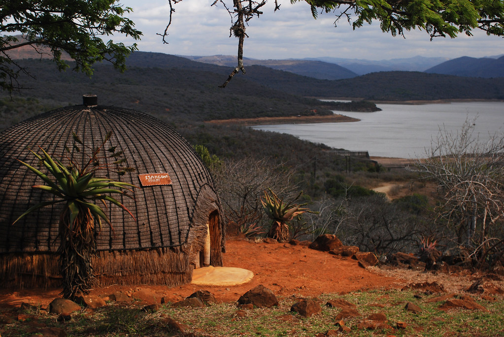
African Tradition

Andrew Cayley and Richard
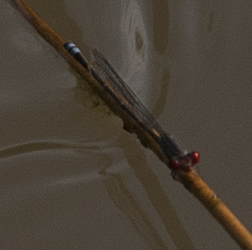
Cherry Eyed Sprite
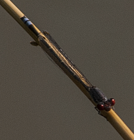
Cherry Eyed Sprite2
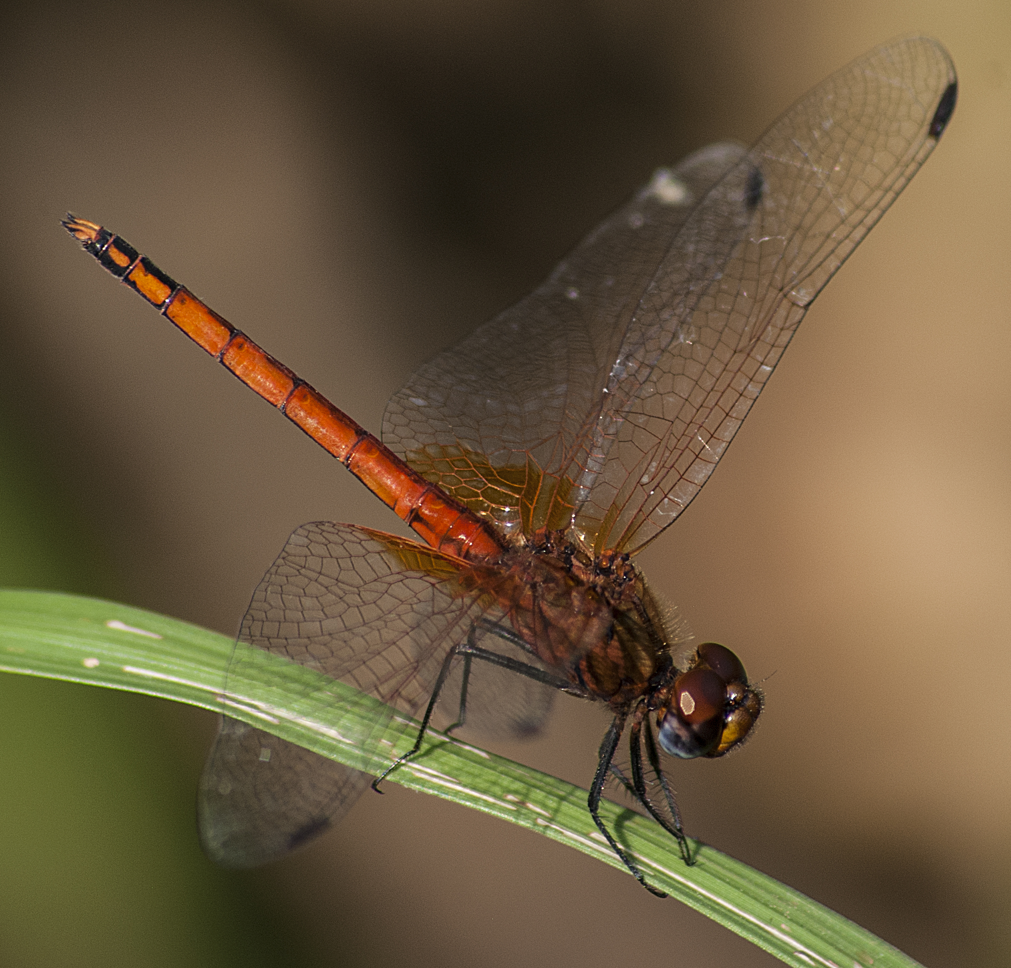
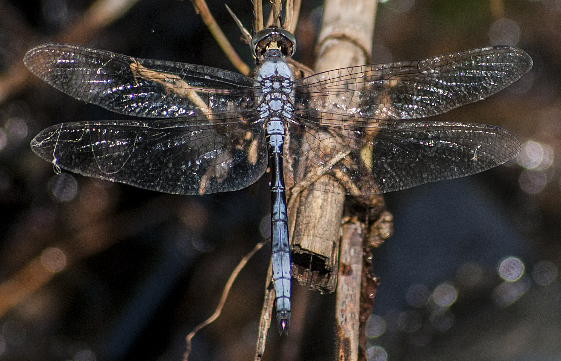
Reed an Riffle Dropwing
Scuffed Cascader
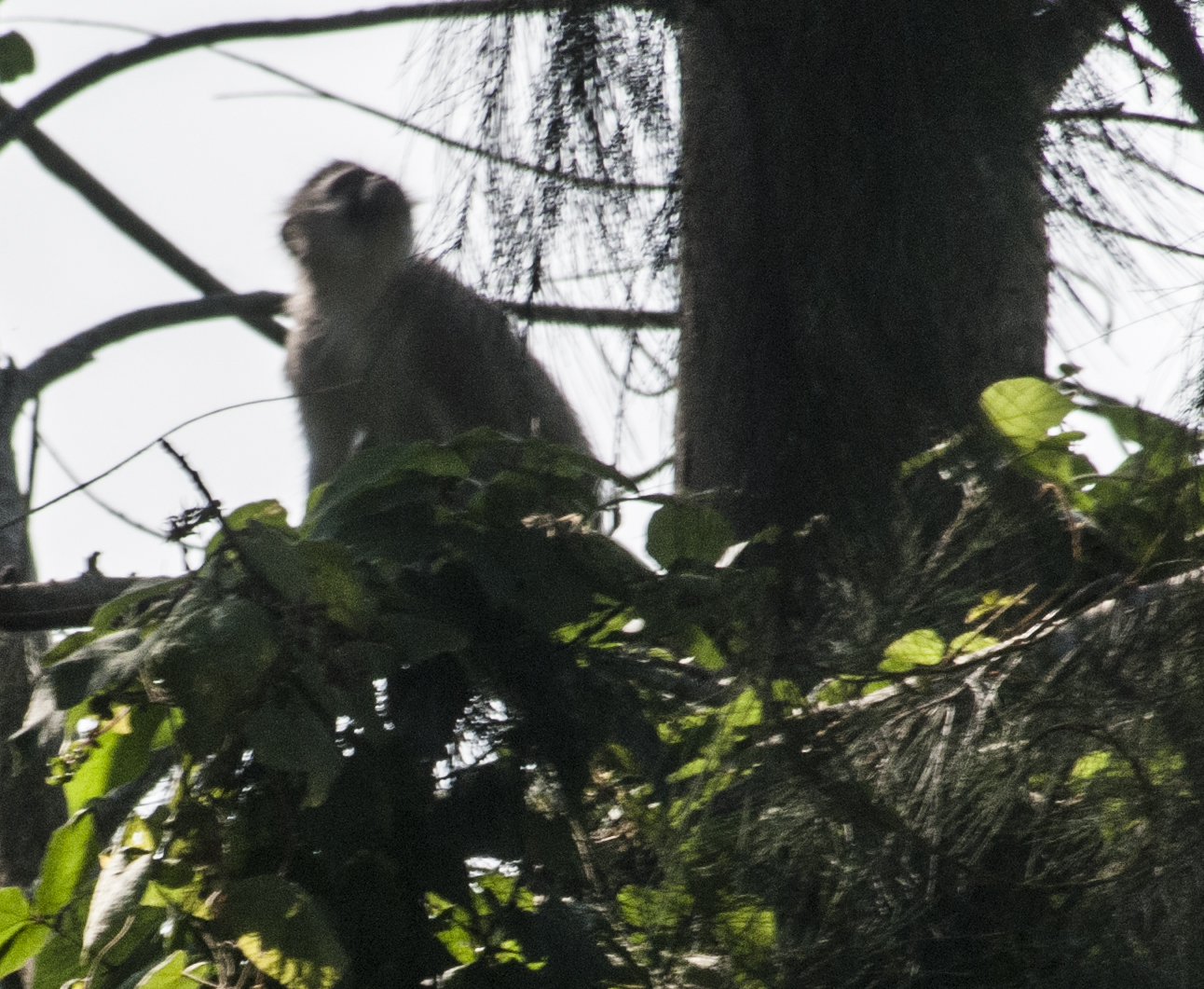
vervet monkey
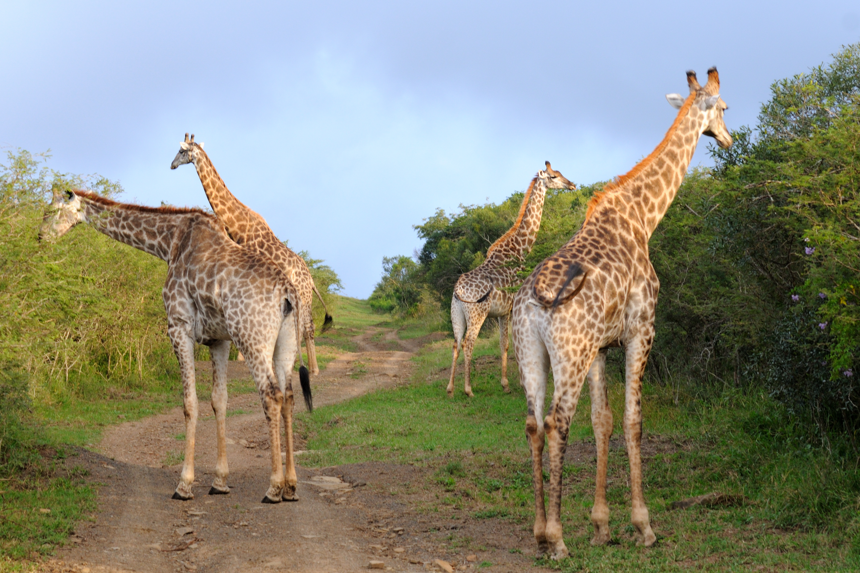
Giraffes-6
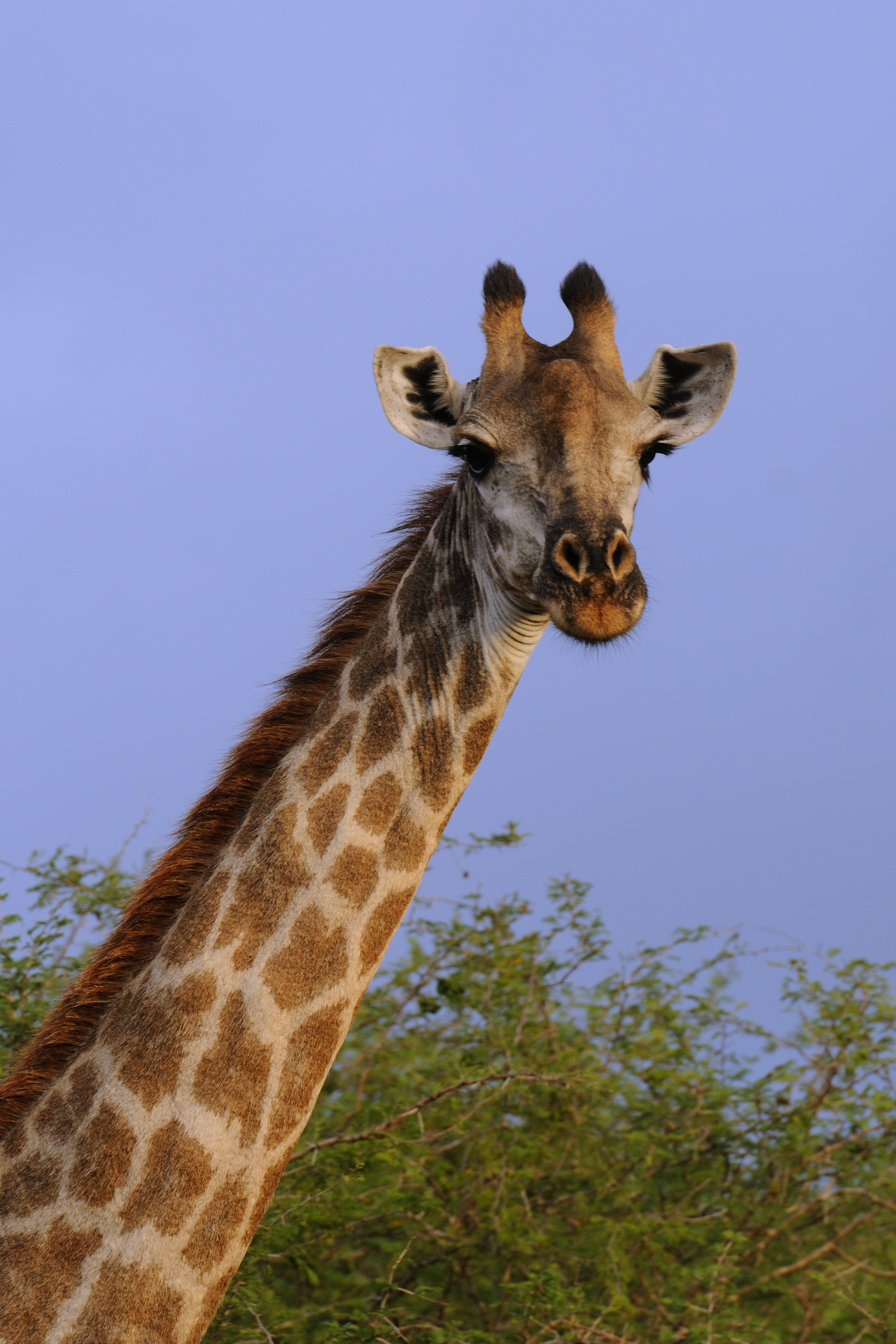
Giraffes-5
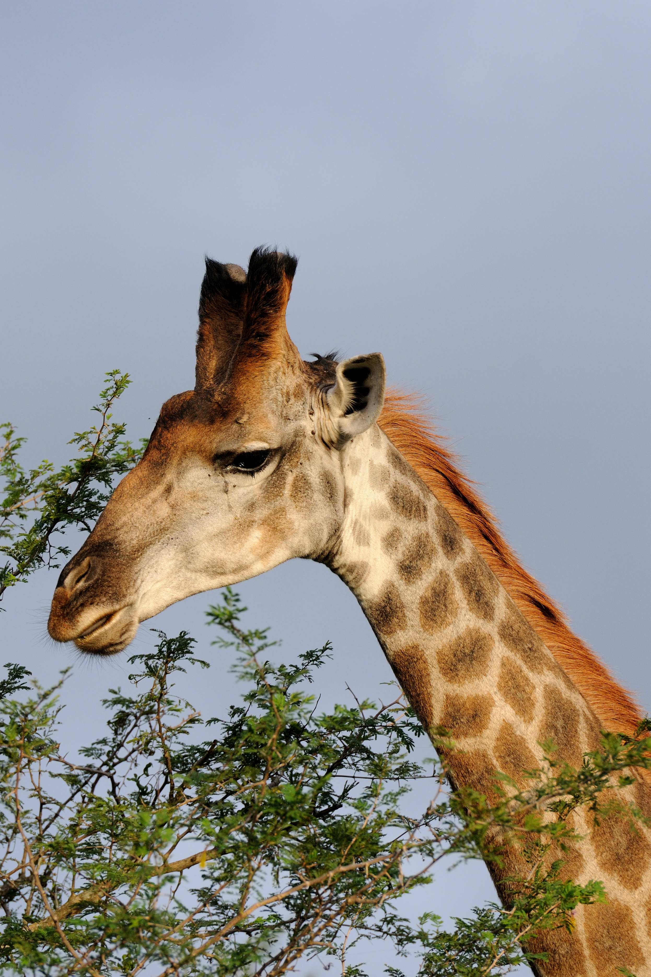
Giraffes-4
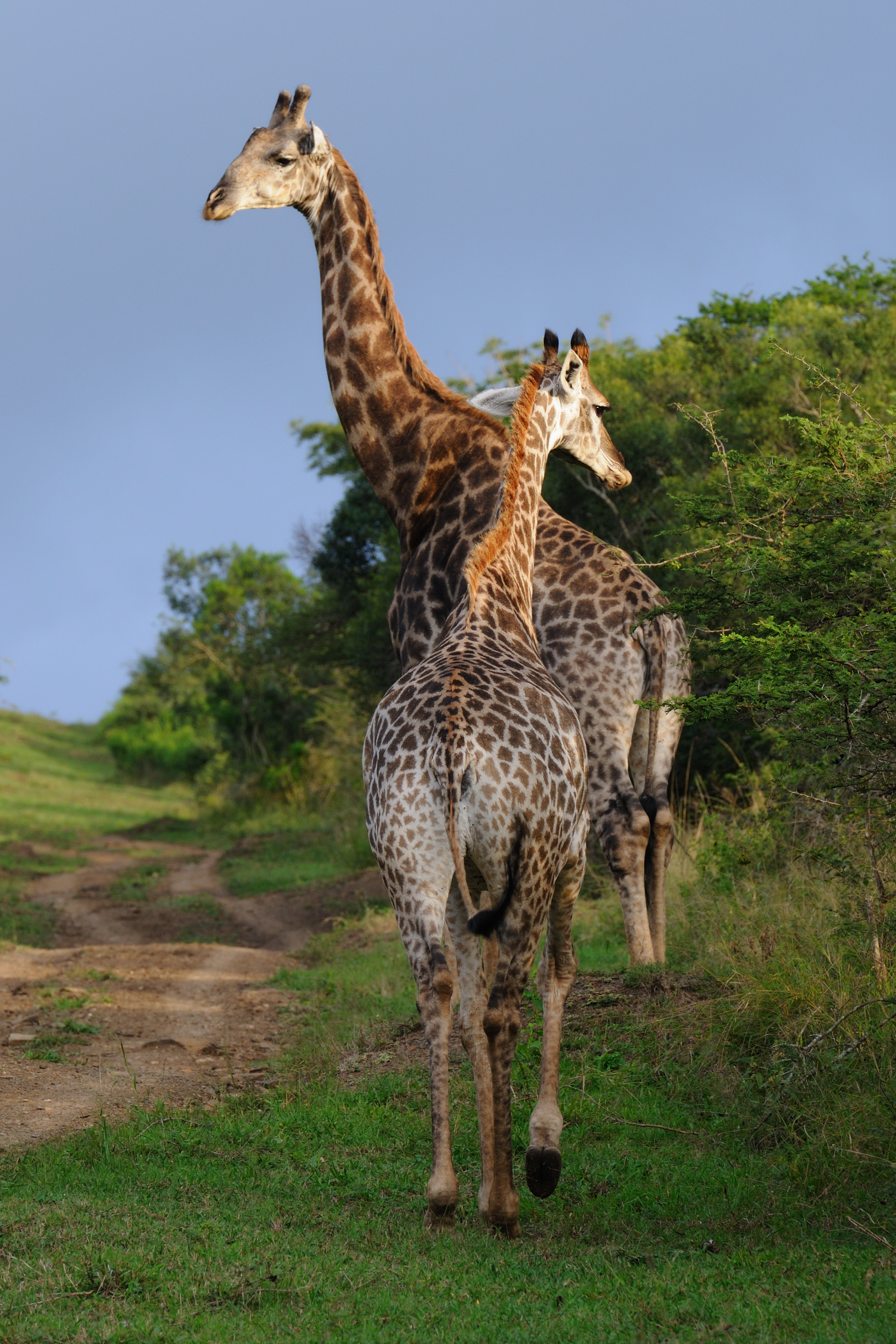
Giraffes-3
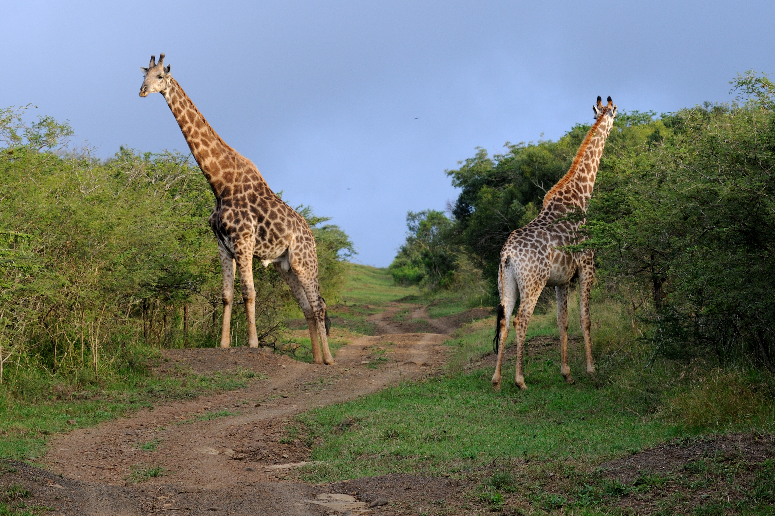
Giraffes-2
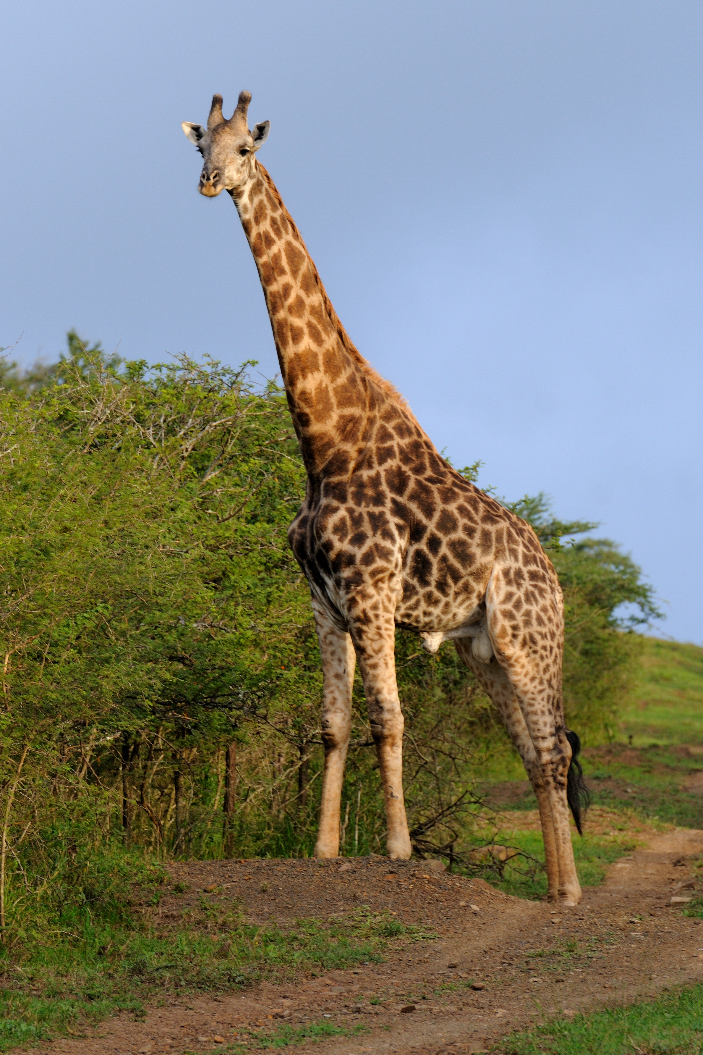
Giraffes-1
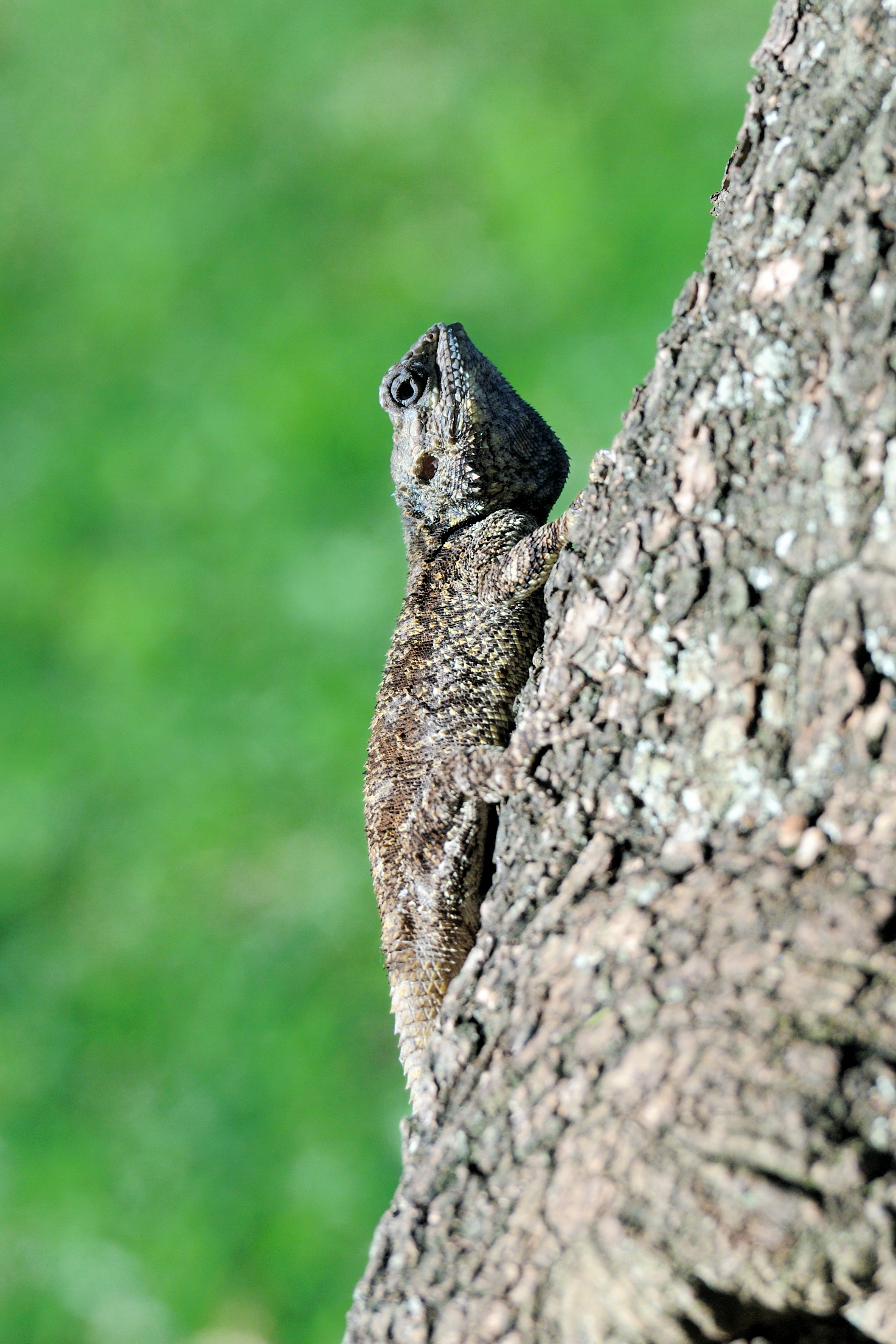
Flapneck Chameleon
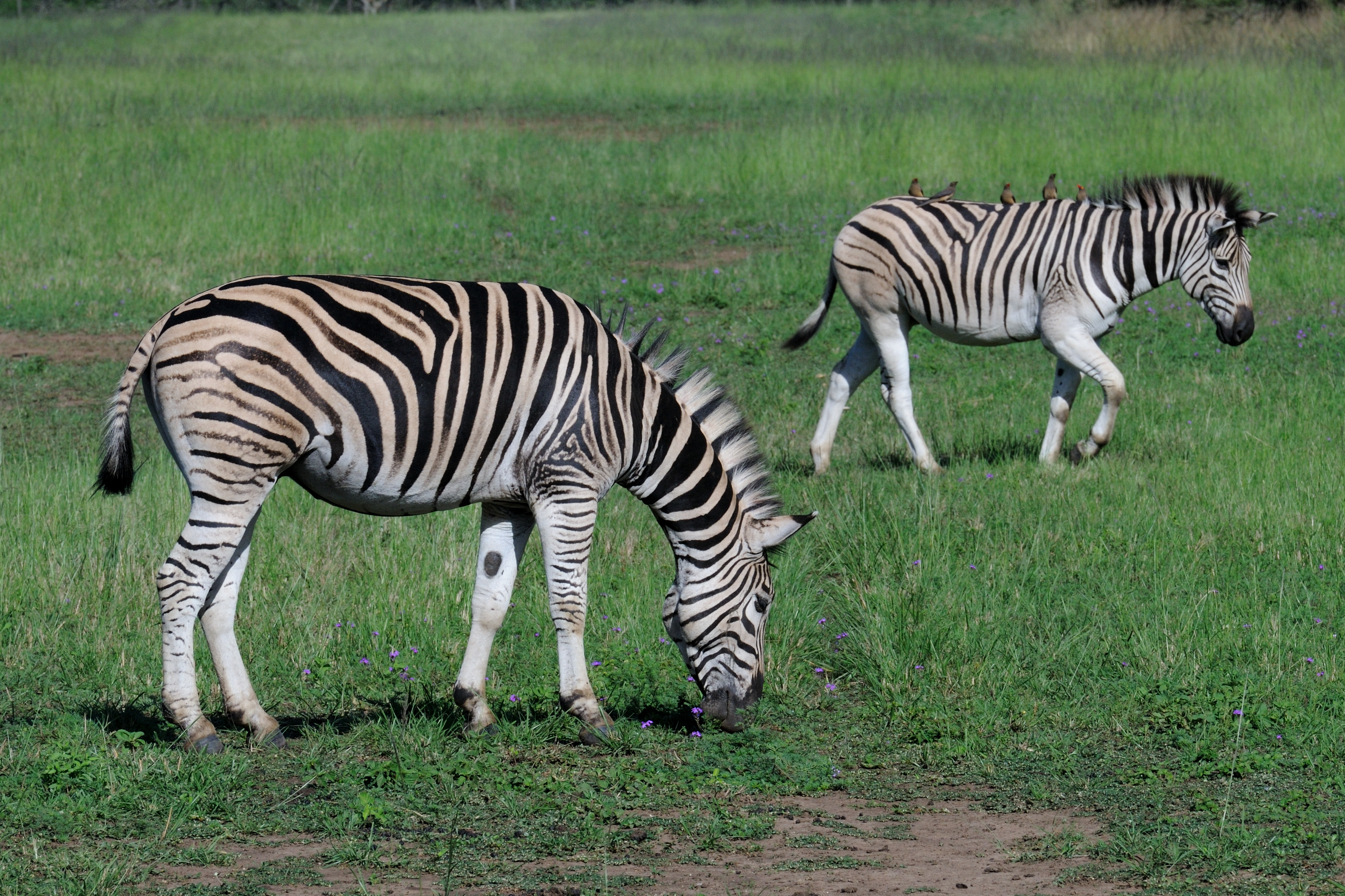
Zebra at Thula Thula-3
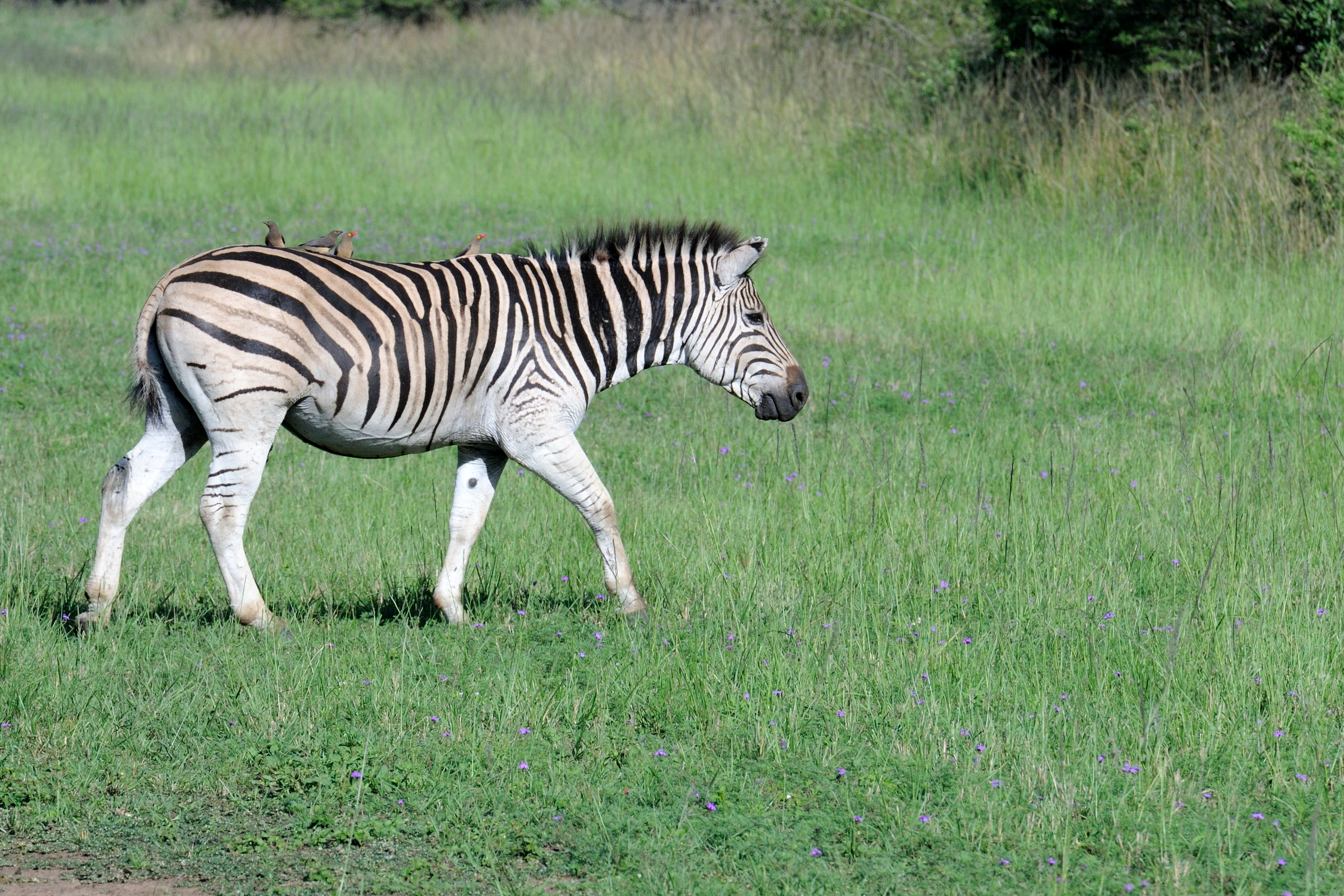
Zebra at Thula Thula-2
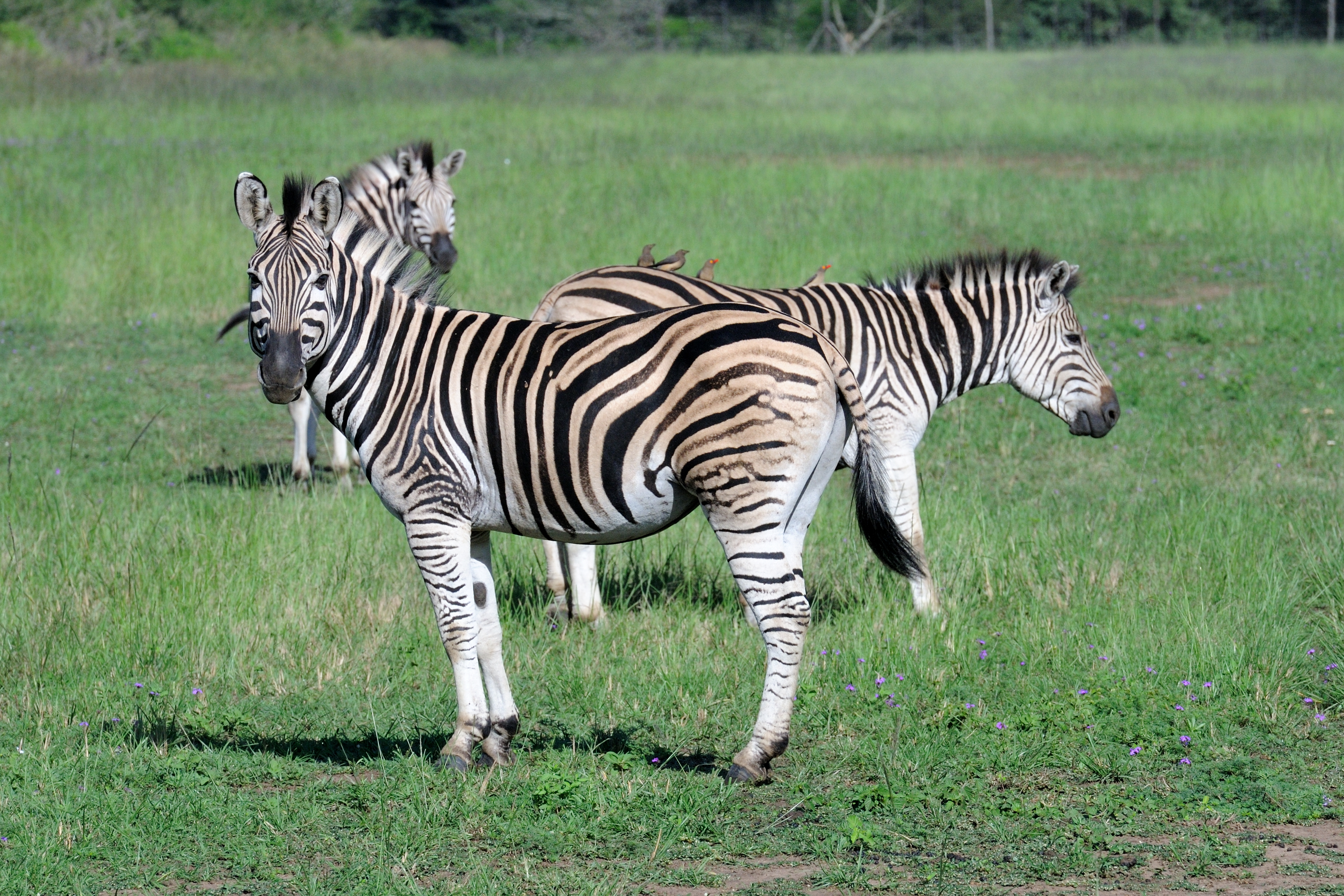
Zebra at Thula Thula-1
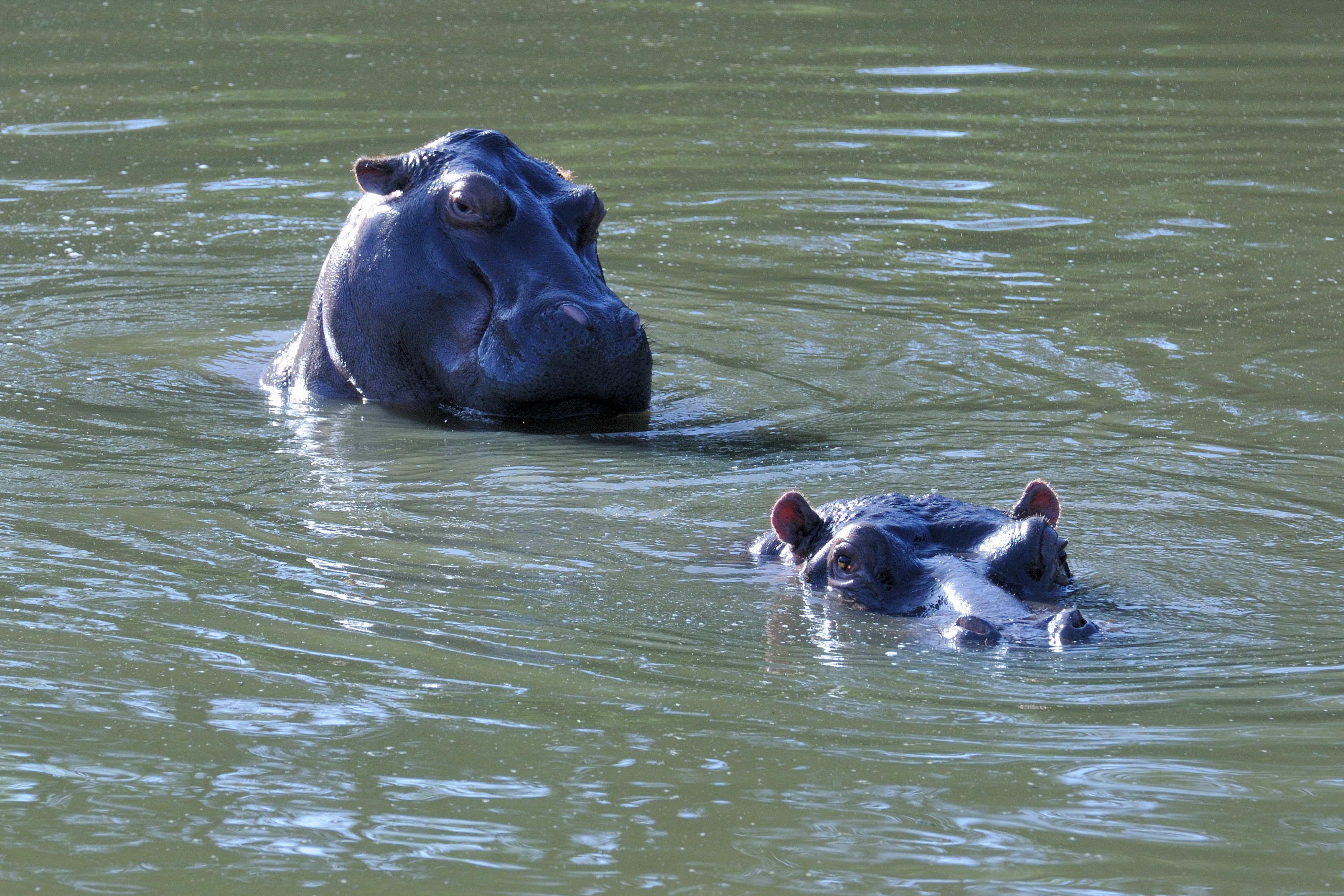
Hippos-2
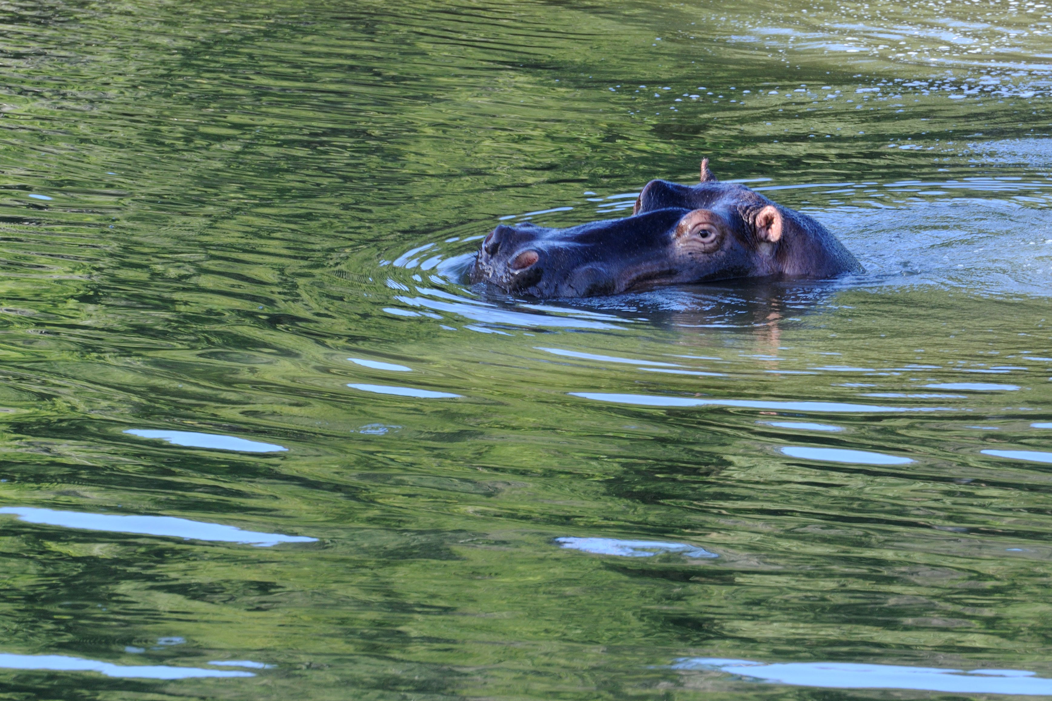
Hippos-1
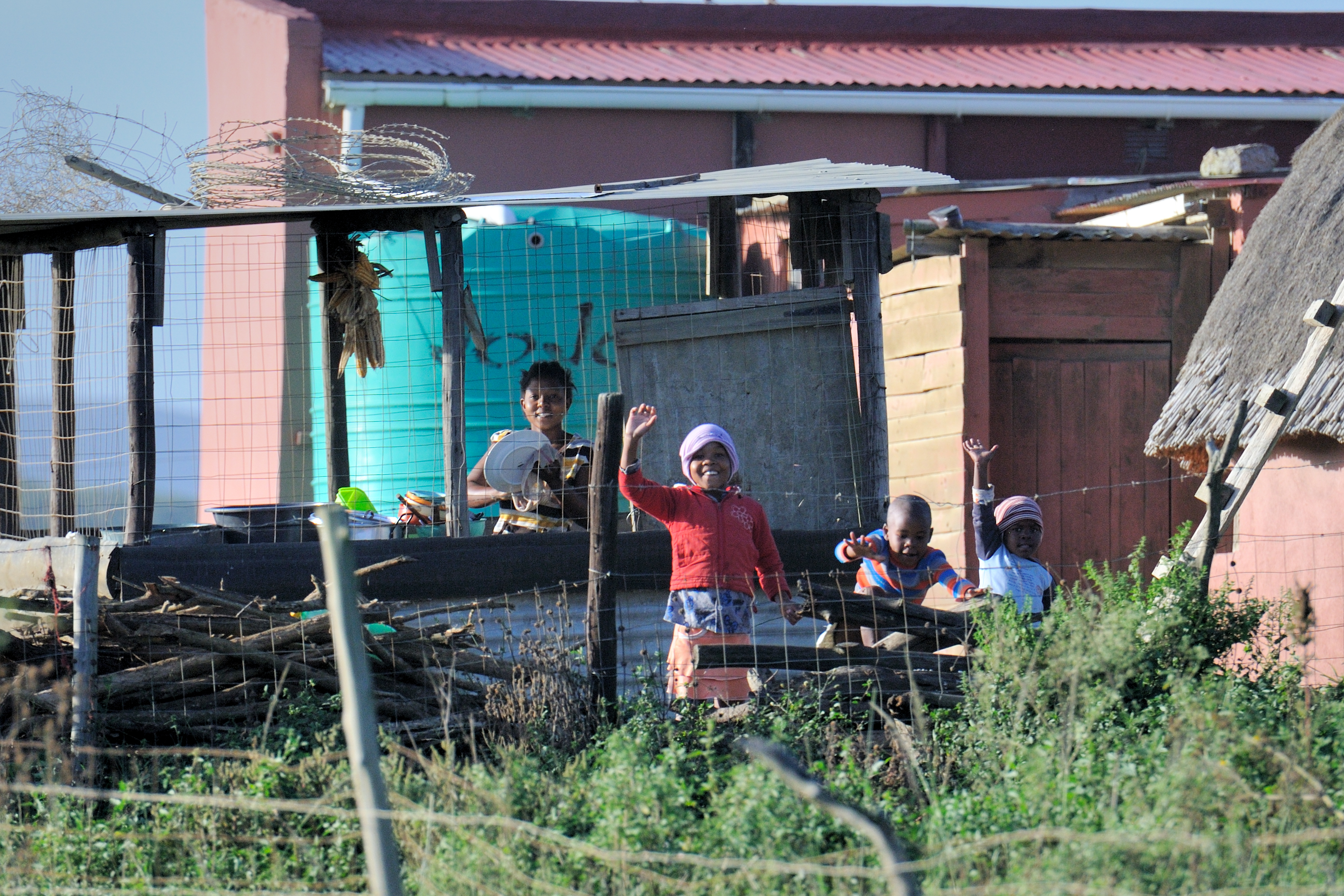
Village scenes-2
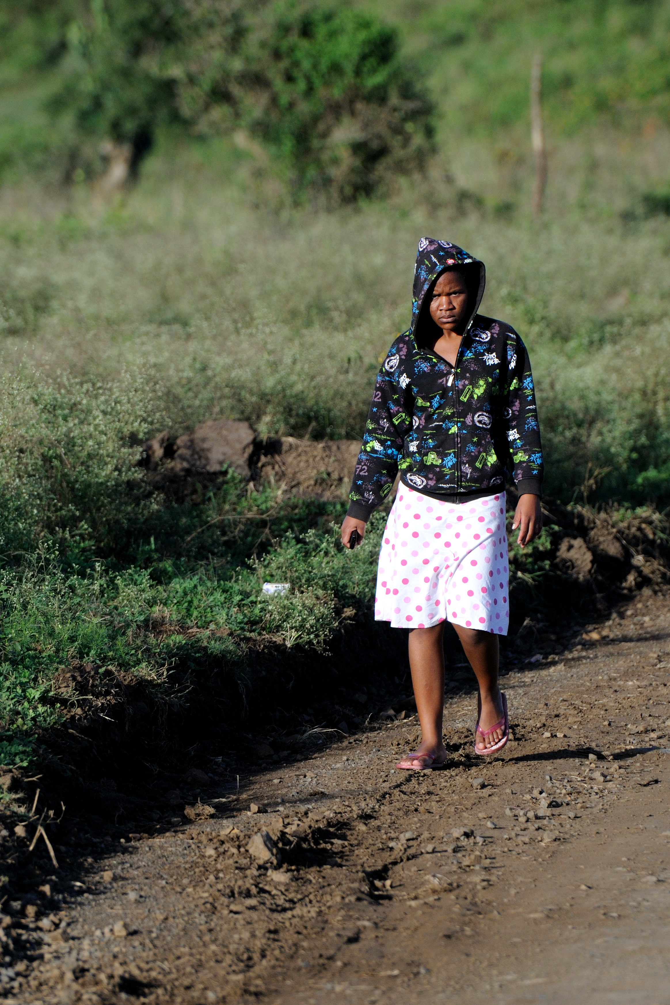
Village scenes-1
Topographic Map of (South) Uthungulu DC, South Africa
Find elevation by address:

Places in (South) Uthungulu DC, South Africa:
Places near (South) Uthungulu DC, South Africa:
Mtilombo
Eshowe Mall
Super Spar
Kfc Eshowe
Eshowe
Shoprite Eshowe
Checkout Supermarket
Intshamanzi
Eshowe
Ulundi
Emakwezini
Empangeni
Umfolozi Hotel, Casino And Convention Resort
Amatikulu Mill
Amatikulu
Eqwasha
Umhlathuze Municipality
Mondi
Unnamed Road
Nsese
Recent Searches:
- Elevation of Corso Fratelli Cairoli, 35, Macerata MC, Italy
- Elevation of Tallevast Rd, Sarasota, FL, USA
- Elevation of 4th St E, Sonoma, CA, USA
- Elevation of Black Hollow Rd, Pennsdale, PA, USA
- Elevation of Oakland Ave, Williamsport, PA, USA
- Elevation of Pedrógão Grande, Portugal
- Elevation of Klee Dr, Martinsburg, WV, USA
- Elevation of Via Roma, Pieranica CR, Italy
- Elevation of Tavkvetili Mountain, Georgia
- Elevation of Hartfords Bluff Cir, Mt Pleasant, SC, USA