Elevation of Alta, CA, USA
Location: United States > California > Placer County >
Longitude: -120.81146
Latitude: 39.206736
Elevation: 1086m / 3563feet
Barometric Pressure: 89KPa
Elevation Map:
Satellite Map:
Related Photos:
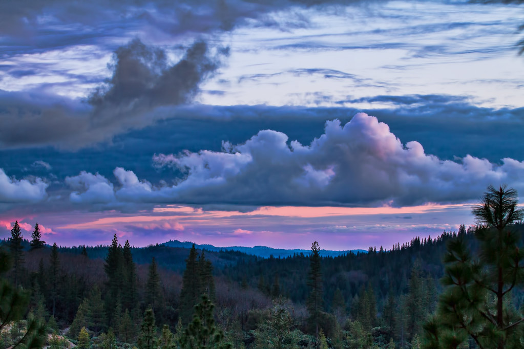
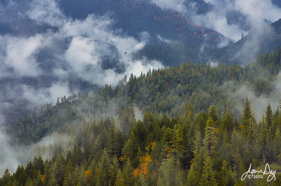
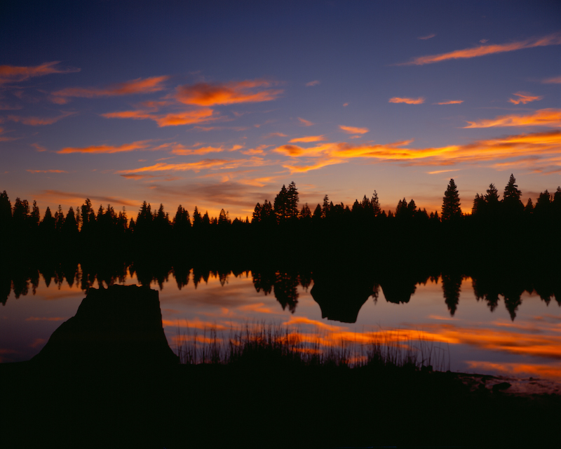
Sierra Sunset

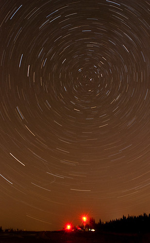
Day 891: MilkyWay_7702

Day 919: MilkyWay_8909

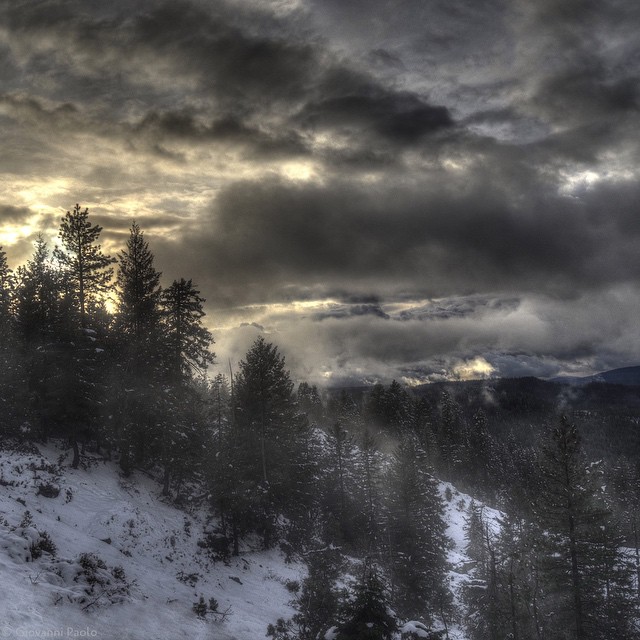
Sierra Thunderstorm
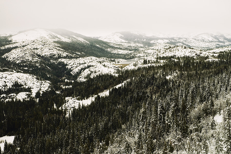
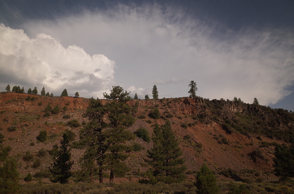
HWY 80 Vista

Annular Eclipse

California Zephyr @ Emigrant Gap ( 2 Views )
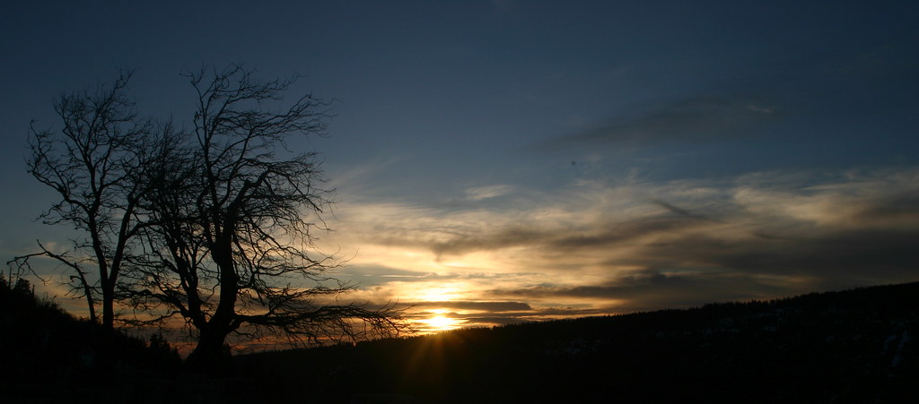
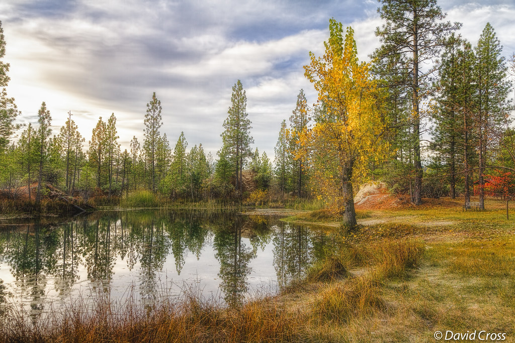
Sunset at Emigrant Gap
project365_240-365

Heading West at: Alta - California. ( 2 Views )
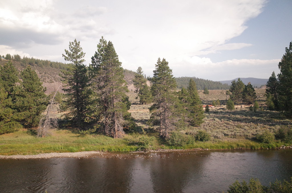
view from highway 20,ca
Cell phone pano
Blue Canyon Airport-View of Fires_080703_small
Island View

a special message

Sixspotted Orbweaver (Araniella displicata); Magra, Placer County, California; June 23, 2014

Looking Up
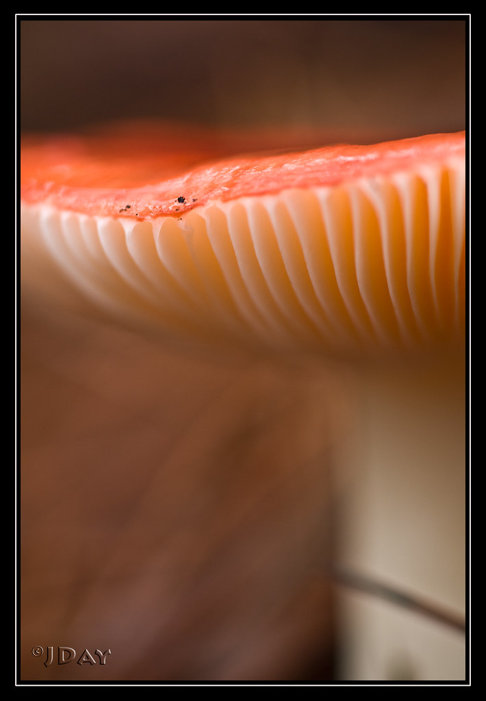
Shroom Abstract

Iowa Hill Bridge at North Fork American River

Curves of Steel

Sixspotted Orbweaver (Araniella displicata); Magra, Placer County, California; June 23, 2014

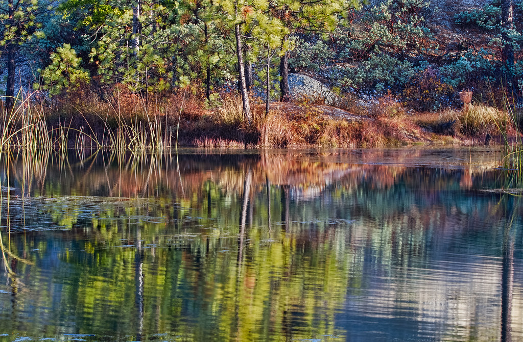
South Fork Deer Creek Flow
Some Other Time
Dreamy (HSS)
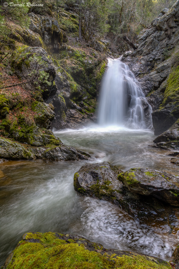
South Fork Deer Creek Falls

Burlington Ridge Stream
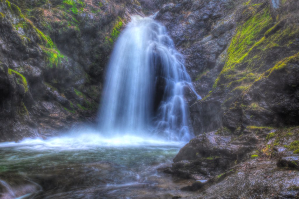
South Fork Deer Creek Falls
RI037519.JPG
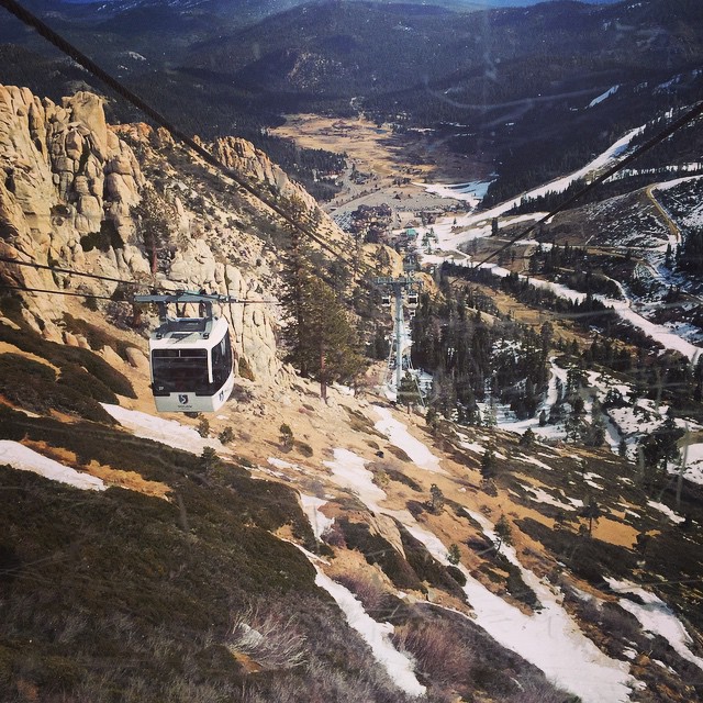
#ski #tram #snow #lift #winter #rocks #mountain #melt

RI037517.JPG
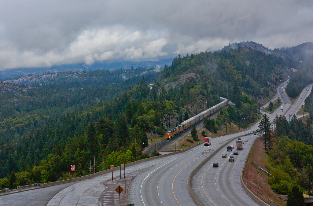
Union Pacific AGBMI at Emigrant Gap
Between Rains
RI037522.JPG
RI037520.JPG

Canyon Creek Falls
RI037521.JPG
Sunset At Lake Putt
RI037511.JPG
The Sierra look best covered in snow. Bummer we only have 9% of normal snow pack for this date. I'll miss taking these shots once it all melts away
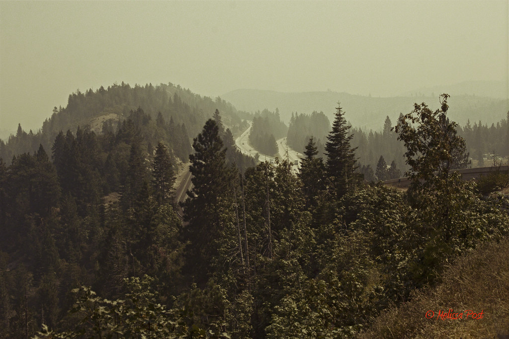
Smokey Conditions on Interstate 80
Topographic Map of Alta, CA, USA
Find elevation by address:

Places in Alta, CA, USA:
Drum Forebay
Casa Loma Rd, Alta, CA, USA
Kearsarge Ct, Alta, CA, USA
Casa Loma Rd, Alta, CA, USA
E Towle Rd, Alta, CA, USA
Baxter
Alta Bonnynook Road
Places near Alta, CA, USA:
679 Drum Powerhouse Rd
809 Sawmill Rd
809 Sawmill Rd
808 Sawmill Rd
960 Meadow Rd
808 Sawmill Road
Alta Bonnynook Road
E Towle Rd, Alta, CA, USA
725 Alta Reservoir Rd
5th Ave, Dutch Flat, CA, USA
34325 Canyon View Ct
Dutch Flat
Baxter
35700 Culberson Rd
35777 Culberson Rd
13498 Brady Rd
Casa Loma Rd, Alta, CA, USA
510 Kearsarge Mill Rd
15936 Buckeye Rd
Drum Forebay
Recent Searches:
- Elevation of Corso Fratelli Cairoli, 35, Macerata MC, Italy
- Elevation of Tallevast Rd, Sarasota, FL, USA
- Elevation of 4th St E, Sonoma, CA, USA
- Elevation of Black Hollow Rd, Pennsdale, PA, USA
- Elevation of Oakland Ave, Williamsport, PA, USA
- Elevation of Pedrógão Grande, Portugal
- Elevation of Klee Dr, Martinsburg, WV, USA
- Elevation of Via Roma, Pieranica CR, Italy
- Elevation of Tavkvetili Mountain, Georgia
- Elevation of Hartfords Bluff Cir, Mt Pleasant, SC, USA