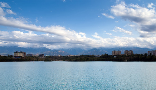
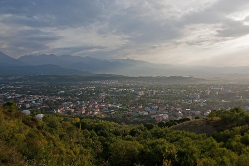
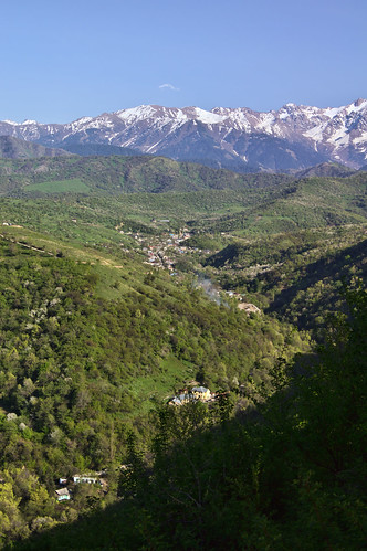
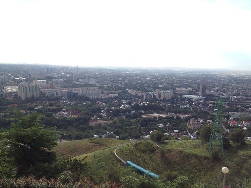
Elevation of Almaty, Kazakhstan
Location: Kazakhstan > Almaty Region > Karasay District >
Longitude: 76.8512485
Latitude: 43.2220146
Elevation: 853m / 2799feet
Barometric Pressure: 91KPa
Related Photos:
Topographic Map of Almaty, Kazakhstan
Find elevation by address:

Places in Almaty, Kazakhstan:
Places near Almaty, Kazakhstan:
Microdistrict 1
Akbulak Micro District
Presidential Residence
Zatayevicha Ulitsa
Ryskulov Ave 52
Kazakhstan Hotel
Ainabulak-1 Micro District
Begalin St 130
Vodnaya Street
Gorky Tennis Park
Almaty 1
Duman
Kazygurt Ulitsa
Karasay District
Medeu District
Talgar
Talgar District
Pik Talgar
Kemin
Shabdan
Recent Searches:
- Elevation of Corso Fratelli Cairoli, 35, Macerata MC, Italy
- Elevation of Tallevast Rd, Sarasota, FL, USA
- Elevation of 4th St E, Sonoma, CA, USA
- Elevation of Black Hollow Rd, Pennsdale, PA, USA
- Elevation of Oakland Ave, Williamsport, PA, USA
- Elevation of Pedrógão Grande, Portugal
- Elevation of Klee Dr, Martinsburg, WV, USA
- Elevation of Via Roma, Pieranica CR, Italy
- Elevation of Tavkvetili Mountain, Georgia
- Elevation of Hartfords Bluff Cir, Mt Pleasant, SC, USA
