Elevation of Alligator Dr, Alligator Point, FL, USA
Location: United States > Florida > Franklin County > Alligator Point >
Longitude: -84.383753
Latitude: 29.8954469
Elevation: 5m / 16feet
Barometric Pressure: 0KPa
Related Photos:

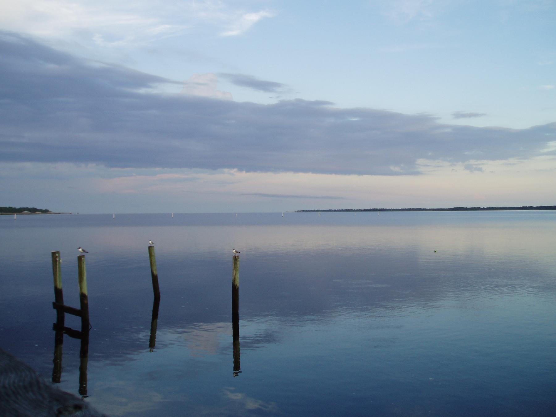
I, Solitary Soul, Eye Sole, A Tree, See By Sea - IMRAN™ -- 500+ Views! Explored!
View from Angelo and Sons, Ochlockanee
The view from the patio at Angelo's. Panacea Florida

I miss this view
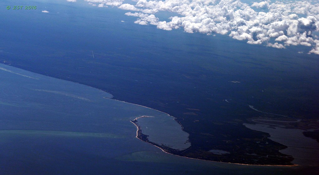
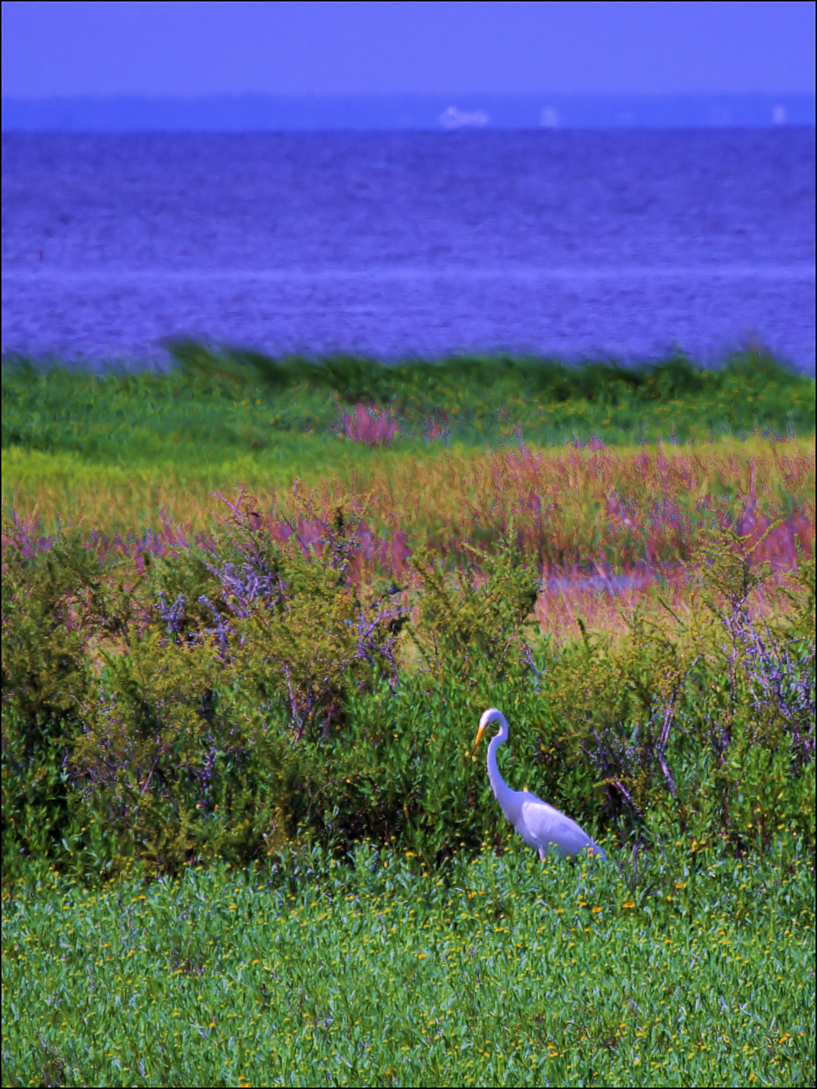
Bald Point State Park & Alligator Point
This was my #sunset view over #OchlockneeBay driving the #Jeep home #topDown #DoorsOff #nofilter #wx #jeeplife

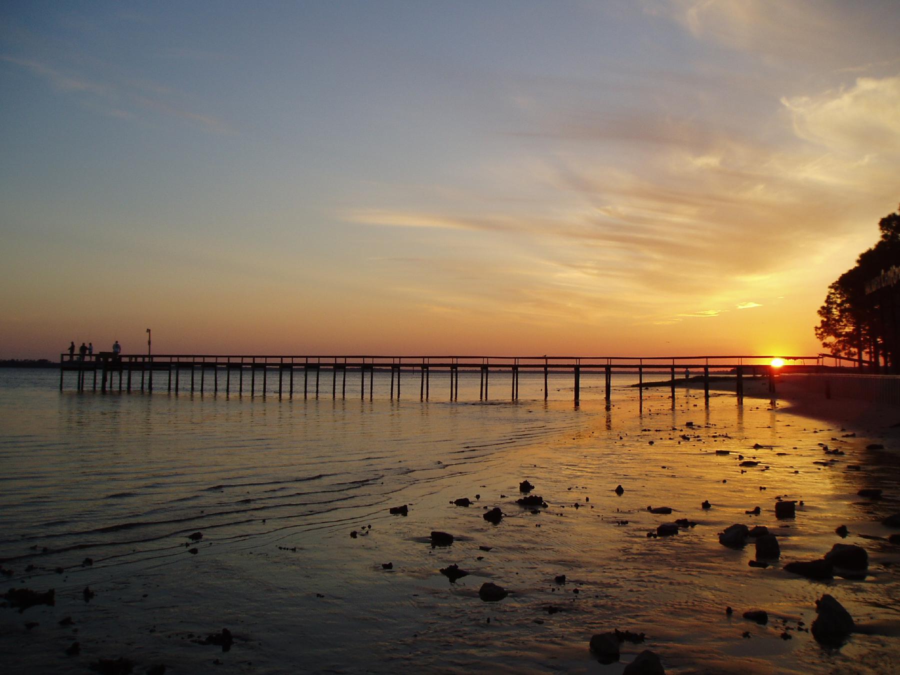
Lunch at Angelo's & Sons at Ochlockonee Bay near Panacea, FL
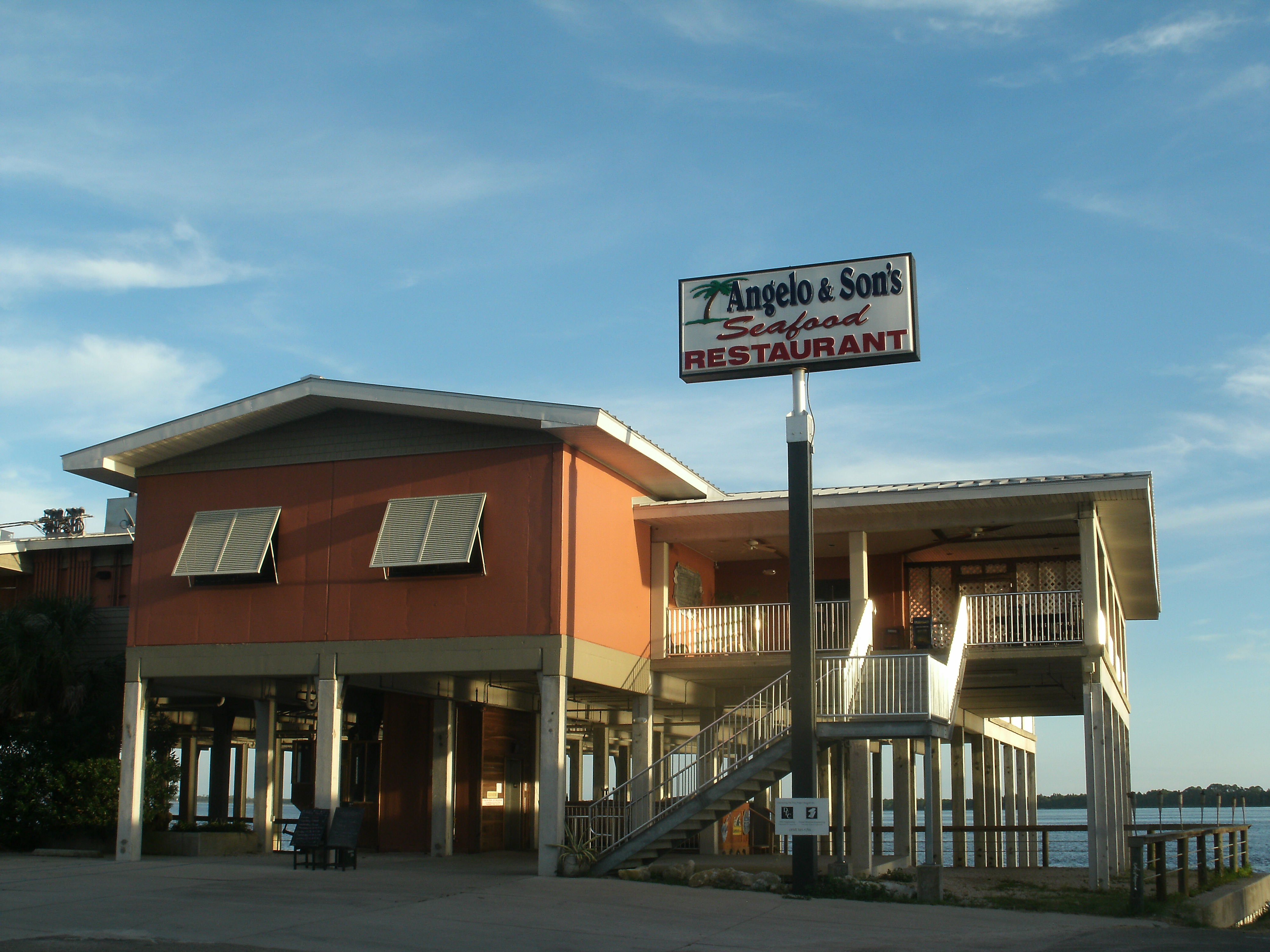
Angelo and Son's Seafood Restaurant

Low tide morning, day six. Last morning. Up before the sun, rewarded with an amazing view of the beach and the water. Ready to head home, though. #70d #dslr
IN THE FIELD...

Up before the sun. Morning 3. #70d #nofilter
Panacea, Fl

Panacea Sunset

2016-09-18 13'34'40 ++++

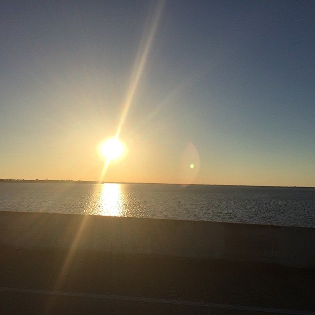
Early Morning Commute

"Crab Root"

DSC_2411-Gulf Fritillary-Agraulis vanillae
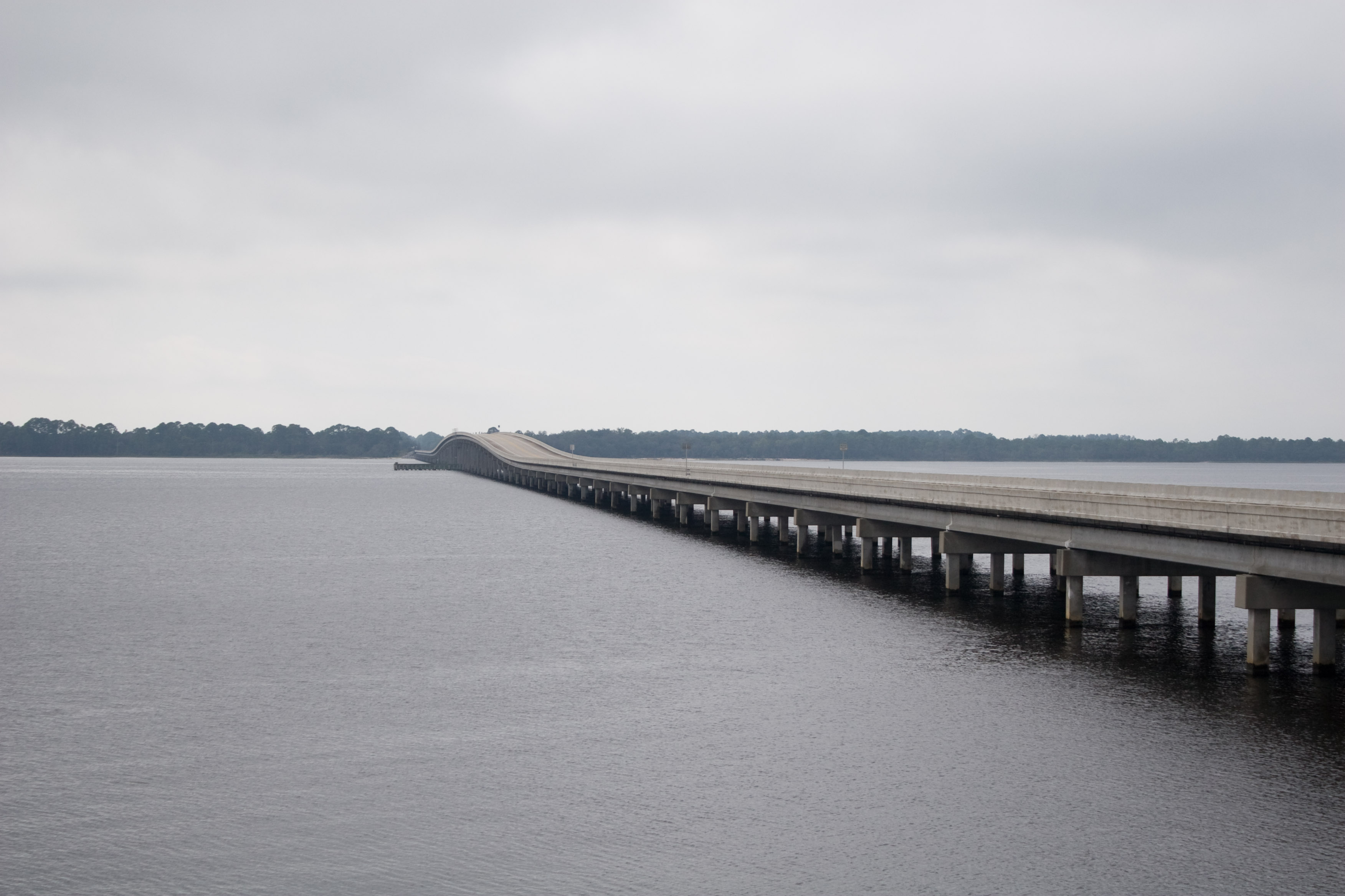
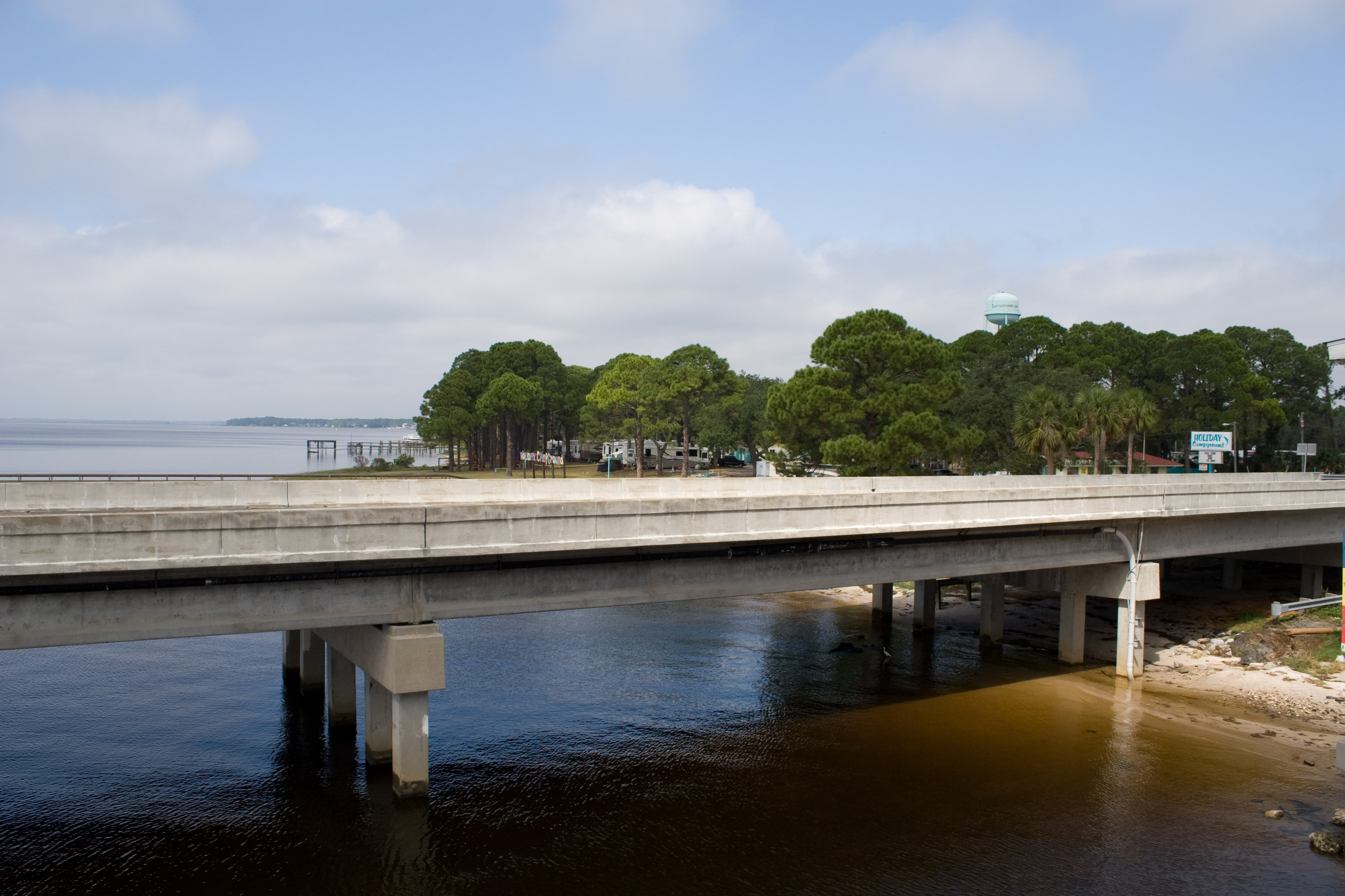
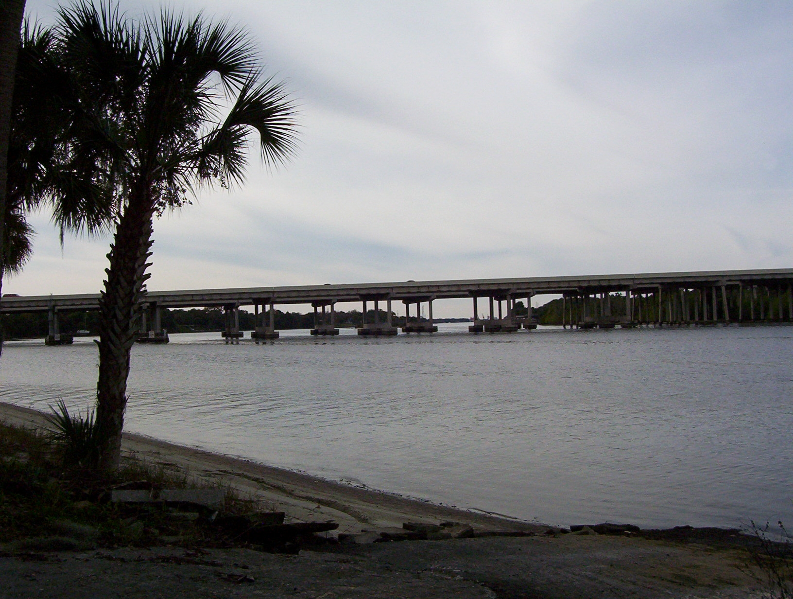
US98 Across Ochlockanee Bay
june2005flatrip 047

White Squirrel - not an albino
Panacea Florida, April 2005
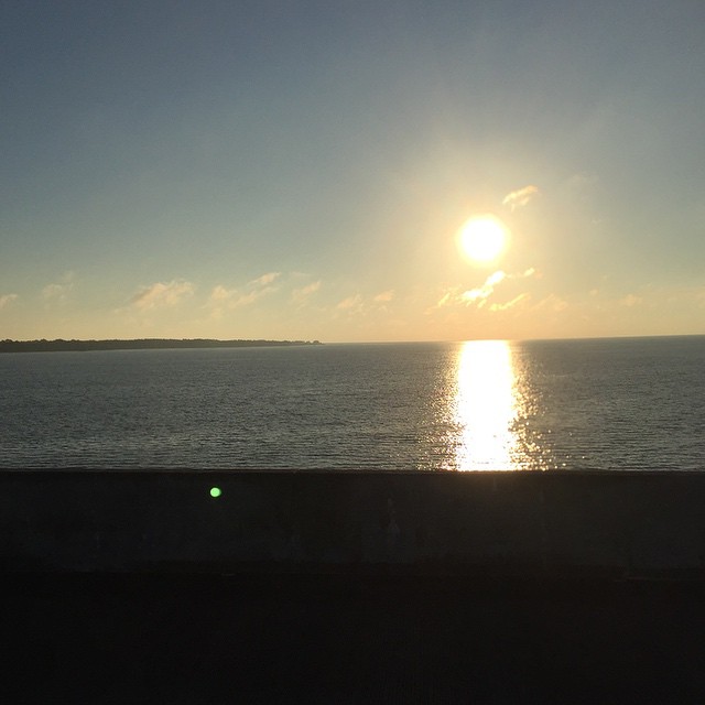
Alligator Harbor at sunrise
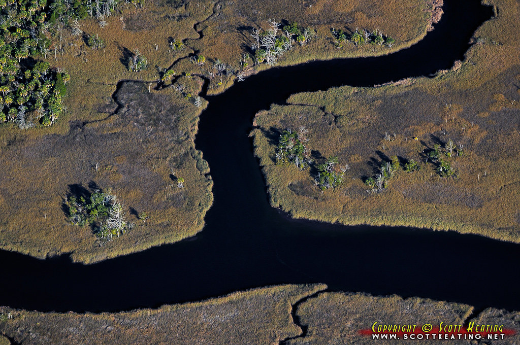
Bear Creek
a perfect day
#sunrise this morning #OchlockneeBay #Jeep #jeeplife #DoorsOff #topDown

DSC_2312-Eastern pondhawk-Erythemis simplicollis-M
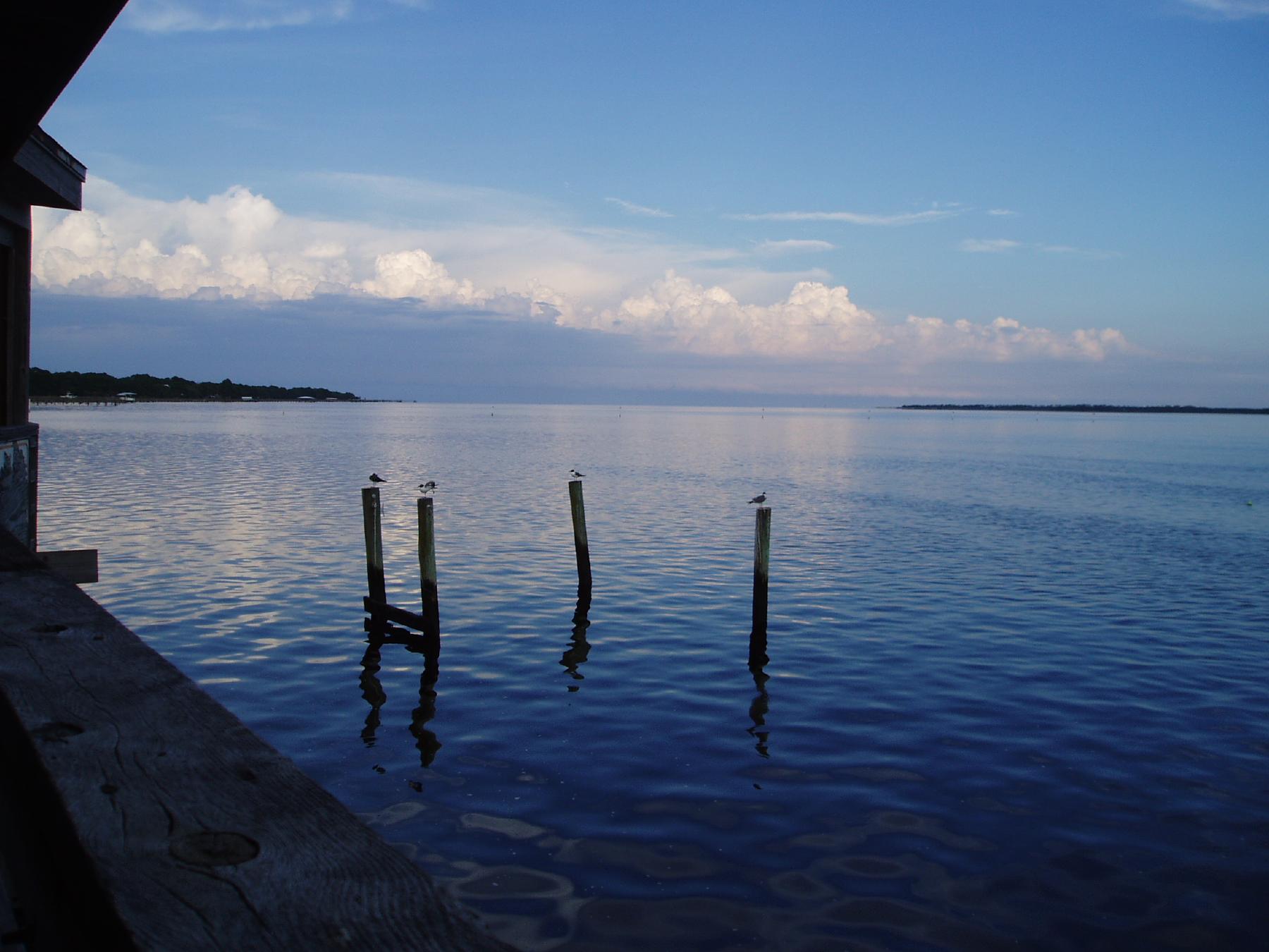
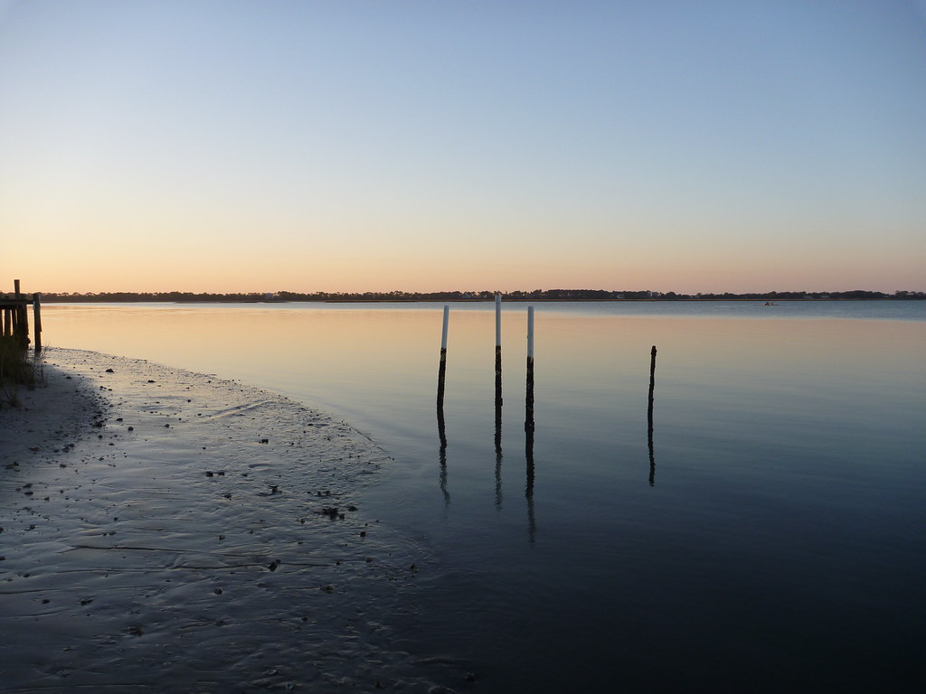
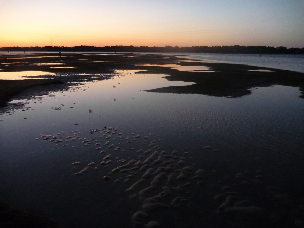
Twilight Low Tide
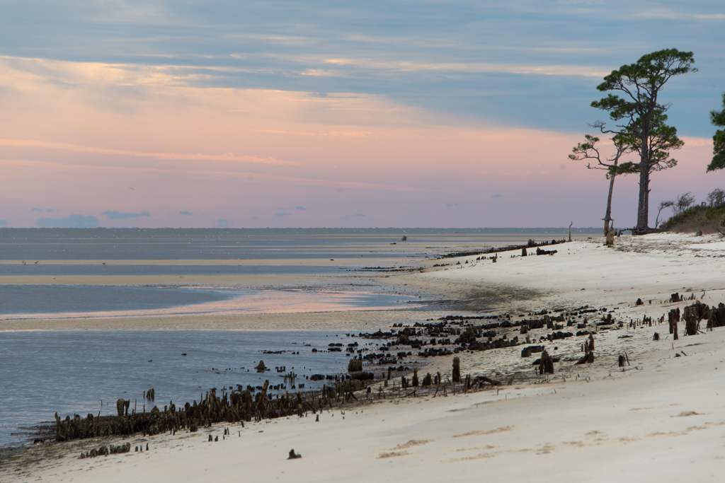
Bay Mouth Bar at Sunset

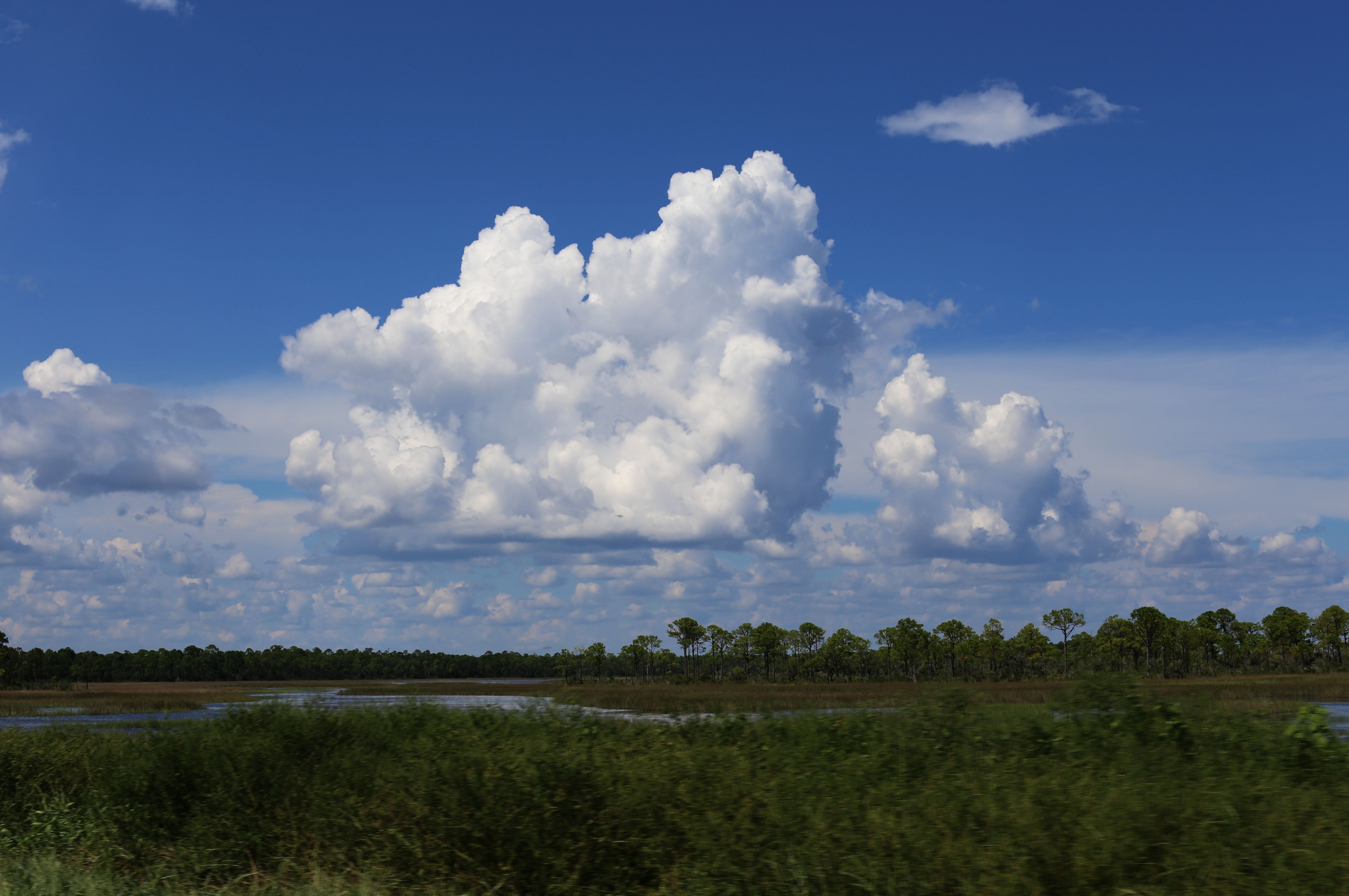
Pine flatwoods pond
Topographic Map of Alligator Dr, Alligator Point, FL, USA
Find elevation by address:

Places near Alligator Dr, Alligator Point, FL, USA:
1401 Alligator Dr
1395 Alligator Dr
1415 Alligator Dr
Alligator Point
1389 Alligator Dr
1427 Alligator Dr
1381 Chip Morrison Dr
233 Harbor Cir
1377 Chip Morrison Dr
1449 Alligator Dr
1345 Alligator Dr
1477 Alligator Dr
1483 Alligator Dr
1485 Alligator Dr
1493 Alligator Dr
1529 Alligator Dr
1557 Alligator Dr
1569 Alligator Dr
1575 Alligator Dr
1592 Alligator Dr
Recent Searches:
- Elevation map of Nagano Prefecture, Japan
- Elevation of 587, Bascule Drive, Oakdale, Stanislaus County, California, 95361, USA
- Elevation of Stadion Wankdorf, Sempachstrasse, Breitfeld, Bern, Bern-Mittelland administrative district, Bern, 3014, Switzerland
- Elevation of Z024, 76, Emil-von-Behring-Straße, Marbach, Marburg, Landkreis Marburg-Biedenkopf, Hesse, 35041, Germany
- Elevation of Gaskill Road, Hunts Cross, Liverpool, England, L24 9PH, United Kingdom
- Elevation of Speke, Liverpool, England, L24 9HD, United Kingdom
- Elevation of Seqirus, 475, Green Oaks Parkway, Holly Springs, Wake County, North Carolina, 27540, USA
- Elevation of Pasing, Munich, Bavaria, 81241, Germany
- Elevation of 24, Auburn Bay Crescent SE, Auburn Bay, Calgary, Alberta, T3M 0A6, Canada
- Elevation of Denver, 2314, Arapahoe Street, Five Points, Denver, Colorado, 80205, USA
- Elevation of Community of the Beatitudes, 2924, West 43rd Avenue, Sunnyside, Denver, Colorado, 80211, USA
- Elevation map of Litang County, Sichuan, China
- Elevation map of Madoi County, Qinghai, China
- Elevation of 3314, Ohio State Route 114, Payne, Paulding County, Ohio, 45880, USA
- Elevation of Sarahills Drive, Saratoga, Santa Clara County, California, 95070, USA
- Elevation of Town of Bombay, Franklin County, New York, USA
- Elevation of 9, Convent Lane, Center Moriches, Suffolk County, New York, 11934, USA
- Elevation of Saint Angelas Convent, 9, Convent Lane, Center Moriches, Suffolk County, New York, 11934, USA
- Elevation of 131st Street Southwest, Mukilteo, Snohomish County, Washington, 98275, USA
- Elevation of 304, Harrison Road, Naples, Cumberland County, Maine, 04055, USA