Elevation of Alice, Orinda, CA, USA
Location: United States > California > Contra Costa County > Orinda >
Longitude: -122.15331
Latitude: 37.8642645
Elevation: 271m / 889feet
Barometric Pressure: 98KPa
Elevation Map:
Satellite Map:
Related Photos:

A frosty morning
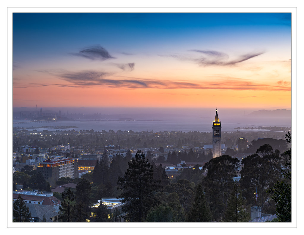
Foggy Sunset

Temple at Twilight

Twilight at the Golden Gate

Oakland Sunsets

San Francisco Sunset

Mt. Diablo View

So ends this day ...

San Francisco from Alameda (2 of 2)

Mt. Diablo Sunset

San Francisco Skyline from Berkeley Marina

Evening Perch

Sunrise over Mt. Diablo (Explored)

The fog kept on rolling in

Golden-Gate Sunset Before Smoke-Filled Skies

Sunset View from Lime Ridge Open Space

Path to the Clouds

The Shadow Curtain

San Francisco Bay from Claremont Hills

Blue Hour over Mt. Diablo

parallel streams

Hanging with the stones

Foggy rock

Towering above the clouds

Foggy tree

Hang tight

The Haves and the Have-Nots

Clarity after the Storm

Foggy Oak

Morning Over the City By The Bay

I'm sure this is the spot where she said to meet ...

While the Hills are Green!

Foggy Oak

This evening at the lake

Storm Cloud Sunset

Cumulus Clouds over the Mount Diablo Range

Heather Farm Sunrise

Sunrise on Another Planet

Sunrise over Mt. Diablo

Over Hill & Dale
Topographic Map of Alice, Orinda, CA, USA
Find elevation by address:

Places near Alice, Orinda, CA, USA:
20 Hall Dr
240 Courtney Ln
29 La Fond Ln
Glorietta
16 Glorietta Ct, Orinda, CA, USA
5 Risa Ct
300 Moraga Way
51 Martha Rd
139 Warfield Dr
Carroll Ranch
9 Corte Azul
750 Moraga Way
Ascot Drive
Corliss
90 Devin Dr
3849 Mt Diablo Blvd
Donald
91 Muth Dr
Orinda
Knickerbocker
Recent Searches:
- Elevation of Corso Fratelli Cairoli, 35, Macerata MC, Italy
- Elevation of Tallevast Rd, Sarasota, FL, USA
- Elevation of 4th St E, Sonoma, CA, USA
- Elevation of Black Hollow Rd, Pennsdale, PA, USA
- Elevation of Oakland Ave, Williamsport, PA, USA
- Elevation of Pedrógão Grande, Portugal
- Elevation of Klee Dr, Martinsburg, WV, USA
- Elevation of Via Roma, Pieranica CR, Italy
- Elevation of Tavkvetili Mountain, Georgia
- Elevation of Hartfords Bluff Cir, Mt Pleasant, SC, USA