Elevation of Aldie, VA, USA
| Latitude | 38.9756745 |
|---|---|
| Longitude | -77.6418724 |
| Elevation | 98m / 322feet |
| Barometric Pressure | 1002KPa |
Related Photos:

Rush hour Sunset

Trip Map

Ashburn Family Chiropractic (703) 450-4900

DSC06808.JPG

Ashburn Rd - Stubble Rd

Live in Dreams

High Mountain Farm

V-1650 Rainbow

The Black Falcon

Silos with a tree growing out of one

Ocean Ambush - LoR GCXII "Extortion" Unrestricted

Post-sunrise

Ocean Ambush - LoR GCXII "Extortion" Unrestricted

old mill

Ocean Ambush - LoR GCXII "Extortion" Unrestricted

Secret Natural Laws

Question Mark Comma (Butterfly), Virginia

Nikon D800 with 17-35 f/2.8 AF-S (Summer & Winter Side-by-Side)

Venus Transit 2012

TA-272

#Brambleton birds eye view! #bramlife #theviewaboveva #ashburn #loudoun #library #downtown

Country Road Dreamin' ~ Explore ~

My Conundrum

Amber Waves Afternoon ~ Explore ~

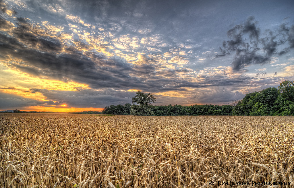
Sea of Grain Sunset
Amber Waves Sunset

Aldie Dam Spring 2

Early hint of autumn

Road of Plenty (Thistle Road)

Stormy Pond

Popcorn Sky

The Hunt Review

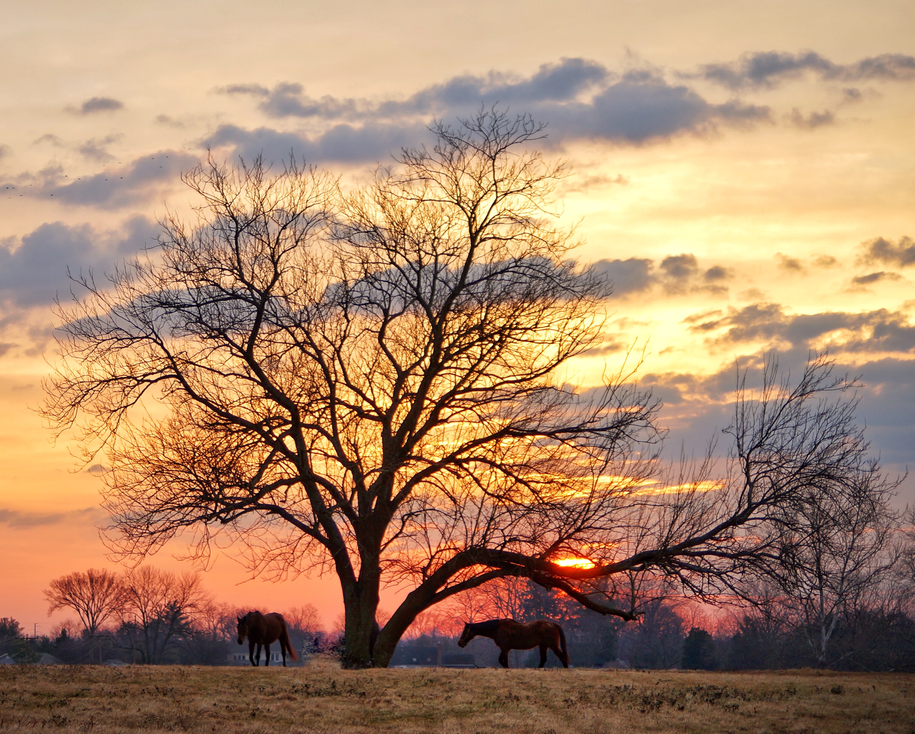
Serene Sunset

This shot is #fullofbull, obviously. #explorevirginia #chrystilovesautumn #liveauthentic #middleburg

Sunrise Over Shed

Vines and hills

HFF 13
Breakfast time for the horses

Aldie Dam in the fall

Beaverdam Creek Reservoir

Just before sunrise
Topographic Map of Aldie, VA, USA
Find elevation by address:
Places in Aldie, VA, USA:
32390 Saddleridge Ln
40664 Sousa Pl
24661 Woolly Mammoth Terrace
Woolly Mammoth Terrace
24634 Greysteel Square
Places near Aldie, VA, USA:
39285 John Mosby Hwy
New Mountain Road
New Mountain Road
32390 Saddleridge Ln
New Mountain Road
John Mosby Hwy, Middleburg, VA, USA
Buchannon Gap Rd, Aldie, VA, USA
40664 Sousa Pl
22472 Dinah Pl
2105 Youngs Dr
John Mosby Hwy, Aldie, VA, USA
40896 Birdstone Ln
Logmill Rd, Haymarket, VA, USA
Mountain Road
Little River Rd, Haymarket, VA, USA
2819 Lookout Rd
2713 Lookout Rd
Conservancy Drive
24661 Woolly Mammoth Terrace
Woolly Mammoth Terrace
Recent Searches:
- Elevation of 104, Chancery Road, Middletown Township, Bucks County, Pennsylvania, 19047, USA
- Elevation of 1212, Cypress Lane, Dayton, Liberty County, Texas, 77535, USA
- Elevation map of Central Hungary, Hungary
- Elevation map of Pest, Central Hungary, Hungary
- Elevation of Pilisszentkereszt, Pest, Central Hungary, Hungary
- Elevation of Dharamkot Tahsil, Punjab, India
- Elevation of Bhinder Khurd, Dharamkot Tahsil, Punjab, India
- Elevation of 2881, Chabot Drive, San Bruno, San Mateo County, California, 94066, USA
- Elevation of 10370, West 107th Circle, Westminster, Jefferson County, Colorado, 80021, USA
- Elevation of 611, Roman Road, Old Ford, Bow, London, England, E3 2RW, United Kingdom
- Elevation of 116, Beartown Road, Underhill, Chittenden County, Vermont, 05489, USA
- Elevation of Window Rock, Colfax County, New Mexico, 87714, USA
- Elevation of 4807, Rosecroft Street, Kempsville Gardens, Virginia Beach, Virginia, 23464, USA
- Elevation map of Matawinie, Quebec, Canada
- Elevation of Sainte-Émélie-de-l'Énergie, Matawinie, Quebec, Canada
- Elevation of Rue du Pont, Sainte-Émélie-de-l'Énergie, Matawinie, Quebec, J0K2K0, Canada
- Elevation of 8, Rue de Bécancour, Blainville, Thérèse-De Blainville, Quebec, J7B1N2, Canada
- Elevation of Wilmot Court North, 163, University Avenue West, Northdale, Waterloo, Region of Waterloo, Ontario, N2L6B6, Canada
- Elevation map of Panamá Province, Panama
- Elevation of Balboa, Panamá Province, Panama