Elevation of Alameda Padre Serra, Santa Barbara, CA, USA

Location: United States > California > Santa Barbara County > Santa Barbara > Riviera >

Longitude: -119.68814

Latitude: 34.4362032

Elevation: -10000m / -32808feet

Barometric Pressure: 295KPa

Elevation Map:

elevation map of Alameda Padre Serra, Santa Barbara, CA, USA

Satellite Map:

Satellite map of Alameda Padre Serra, Santa Barbara, CA, USA

Related Photos:

ocean sunset beach clouds canon pier pacific dusk hdr ucsb formations s90 goleta
Goleta Pier Sunset
Jag...another view
santabarbara reflections flying wings whitewater pacific crane flight lagoon x landing stork ucsb
Stork Fairy
santa barbara california ca june 2018 ynez mountains courthouse view architecture
Santa Barbara, California
bw white black bird angel reflections neck nikon shaped crane lagoon grayscale bent ucsb d90stork
Angel in the Water
california windows light fab santabarbara photoshop painting mural room stage murals wideangle chandeliers courthouse benches dias soe hdr jesters lightroom 3xp photomatix august12 supershot tonemapping amazingtalent top20hdr muralroom photo365 platinumphoto anawesomeshot aplusphoto wowiekazowie diamondclassphotographer flickrdiamond platinumheartaward photo365224 muralismaw stunningphotogpin
The Mural Room
ocean california leica blue red summer beach santabarbara 50mm sailing glow f1 noctilux mandler leicaglow waltermandler alandreamworks
Ocean view
sky bw tower clock monochrome santabarbara clouds canon university campanile nik ucsb formations s90 storke silverefex hdrefex
Storke Tower Clouds
california santabarbara shipwreck 500views montecito 100comments nikond90 theunforgettablepictures montecitobeach
Blue Sea Ghost
california santabarbara shipwreck beaches montecito 1000views polestar 100favorites beautifulpool superaplus aplusphoto nikond90 artofimages montecitobeach bestcapturesaoi thebestofcengizsqueezeme2groupspool nikonflickrawardgoldpool 300499comments
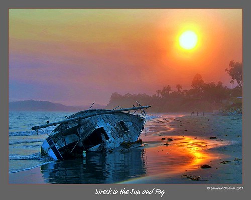
Wreckage in the Sun and Fog
santabarbara californiamission missionbuildings
Santa barbara mission...another view
elephant asian explore fp santabarbarazoo sigma18200 interestingess24 nikond80
I love Flickr................
blue sky pod nikon hand fingers gimp flurry malavika thorny s52
A pod that fell from the sky
california santa ca canon harbor boat decay rustic barbara hdr 50d qtpfsgui
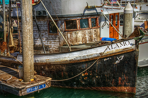
Rustic Alamo Boat in HDR
view to a "dreamy" sunrise...
EaT LoTsa LobsTer...
santabarbara zoo nikon dragon lizard scales granite spiny keels d90 granitespinylizard sceloporusorcutti sorcitti
Enter The Dragon
sunset santabarbara sb ucsb happynewyear 2010 campuspoint nothdr thecipher
Last sunset of the first decade (UCSB, Campus Point)
pelicans nature birds santabarbara southerncalifornia waterfowl stearnswharf 100comments nikond90 doublyniceshot
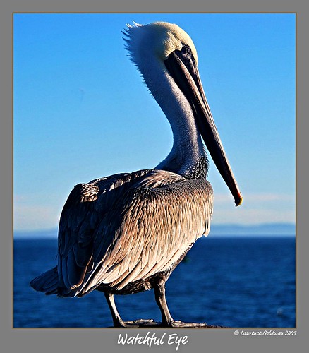
Watchful Eye
ocean sky tower clock water clouds pacific lagoon ucsb 3gs iphone storke pseudohdr
The Day Earth and Sky Got Reversed
ocean california storm rain clouds canon dark pier university ece pacific hdr ucsb formations s90 goleta
Storm Clouds over Goleta Pier
ocean sea sand surf pacific pacificocean ucsb campuspoint dsc5964b
(Orange) marmalade skies...
sea beach santabarbara sand waves pacific pacificocean ucsb orangejulius campuspoint rocksdsc5956anr
Sea, sand and waves
marina 5...
ocean sunset sea sand rocks waves pacific pacificocean ucsb campuspoint dsc5975c
Campus Point cauldron
square squareformat brannan iphoneography instagramapp uploaded:by=instagram foursquare:venue=4cc6201042d1b60cb3a12713
Don't really get tired of this view
ocean california blue sea sky usa motion blur beach topf25 colors yellow santabarbara strand digital america photoshop campus square geotagged interestingness high blurry topf50 nikon topf75 colorful university waves pacific tl main interestingness1 blurred playa spray topf300 explore saturation getty spindrift d200 nikkor dslr topf150 topf100 topf250 topf200 ucsb gettyimages goleta froth topf400 campuspoint spume topf500 topf350 500x500 i500 18200mmf3556 utatafeature manganite nikonstunninggallery 500px date:year=2008 winner500 date:month=july date:day=21 winner500x500bestof geo:lat=34405493 geo:lon=11984597 format:orientation=square format:ratio=11
The sky, the sea, the waves & the beach
carpinteria state beach
pink blue sunset mountains green grass rock santabarbara sandstone boulders hdr sigma1020mm hdrunlimited hdrextremes hdraddicted canon7d sanmarcospreserve
Rolling...
rocks waves pacific ucsb campuspoint clearingstorm
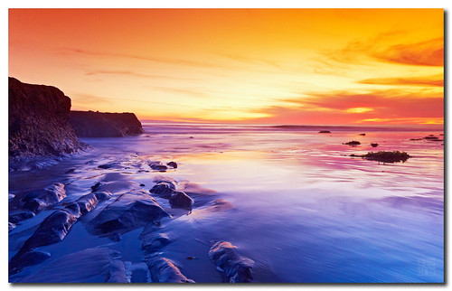
Campus Point Rocks
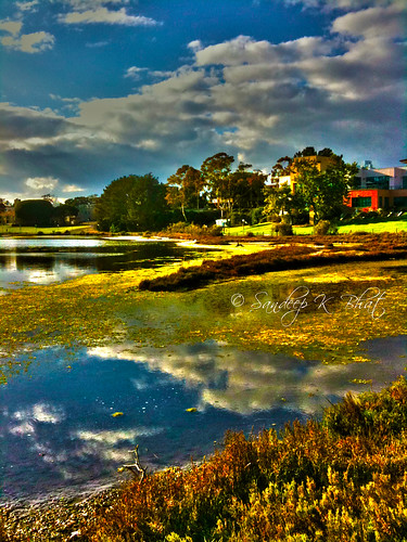
light sun beach water clouds reflections moss pacific floating lagoon algae hdr ucsb formations 3gs iphone
Lagoon Reflections
ocean california sky usa america painting boat unitedstates pacificocean buoy carpinteria santabarbaracounty postedonflickr photosbydavid jfflickr postedong water saltwater
Wait (p)
goleta beach pier geotagged november 2013 sonynex7 california clouds sunset silhouette cloudy night hd wallpaper cloudsstormssunsetssunrises free creativecommons
As you wish
ocean sunset reflection beach water clouds reflections point rocks waves pacific pacificocean geology goletabeach ucsb goleta campuspoint
Goleta Beach Sunset
california santabarbara shipwreck montecito nikond90 montecitobeach
Curious ByPassers
Santa Barbara, California, United States of America.
square squareformat amaro iphoneography instagramapp uploaded:by=instagram foursquare:venue=4cf2f470e3b9a09355644753
#californiatrip
IMG_0471.JPG
santa sunset color barbara cattails hdr lanscape iphone uploaded:by=flickrmobile flickriosapp:filter=nofilter
Santa Barbara's Tails
All Photos-1561
california sunset beach birds santabarbara clouds waves flight kennelly
flying south