Elevation of Alamata, Ethiopia
Location: Ethiopia > Tigray > South Tigray >
Longitude: 39.5536782
Latitude: 12.41967
Elevation: 1587m / 5207feet
Barometric Pressure: 84KPa
Elevation Map:
Satellite Map:
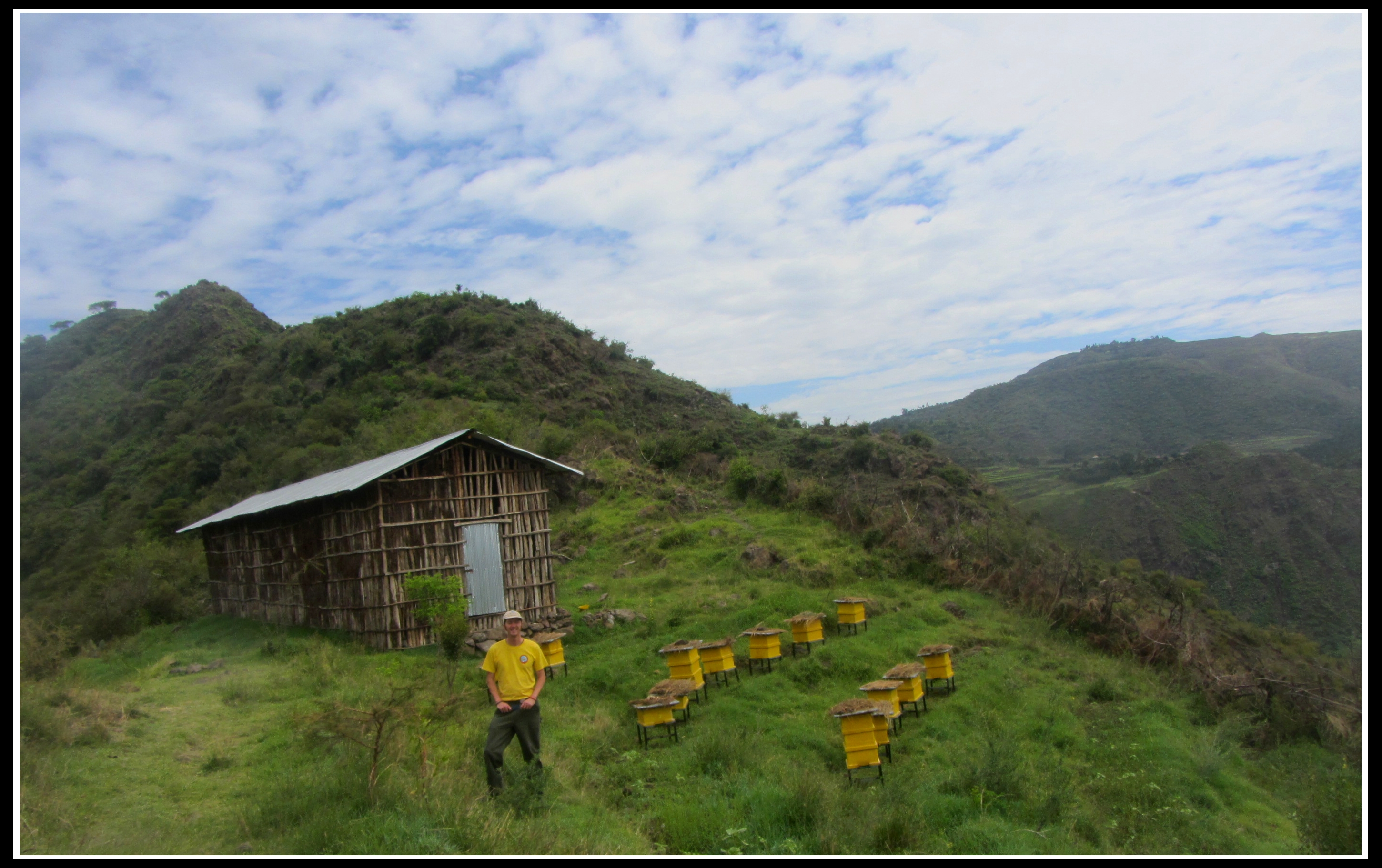
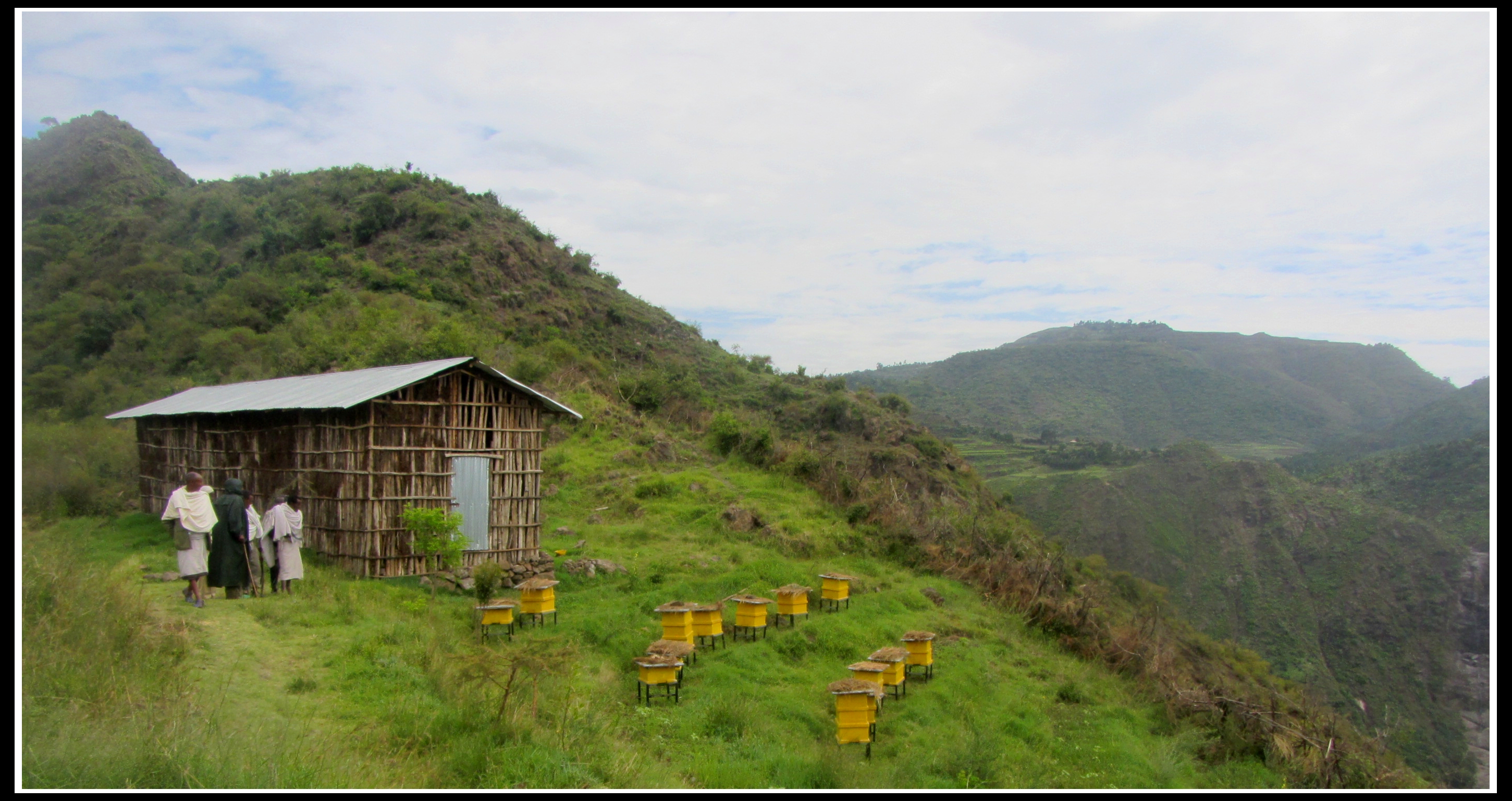
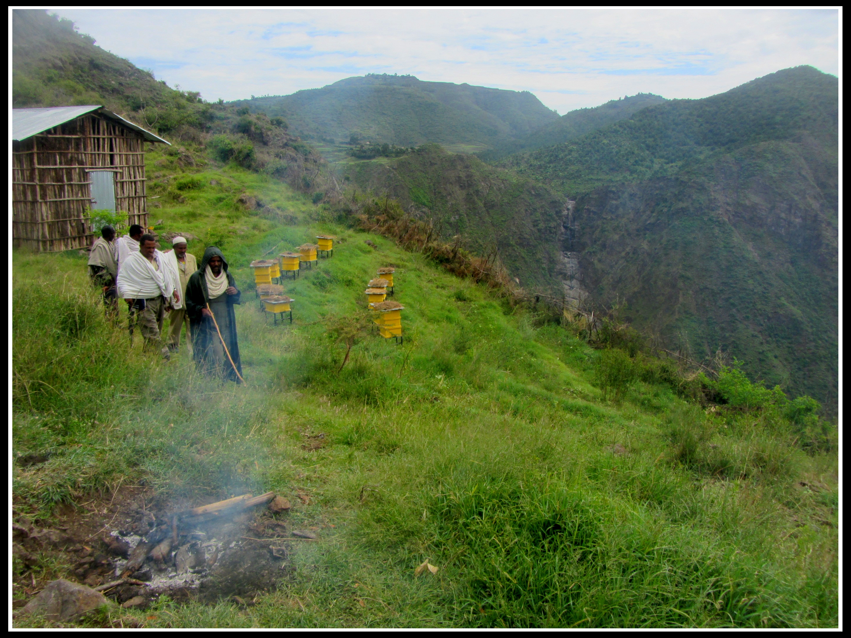
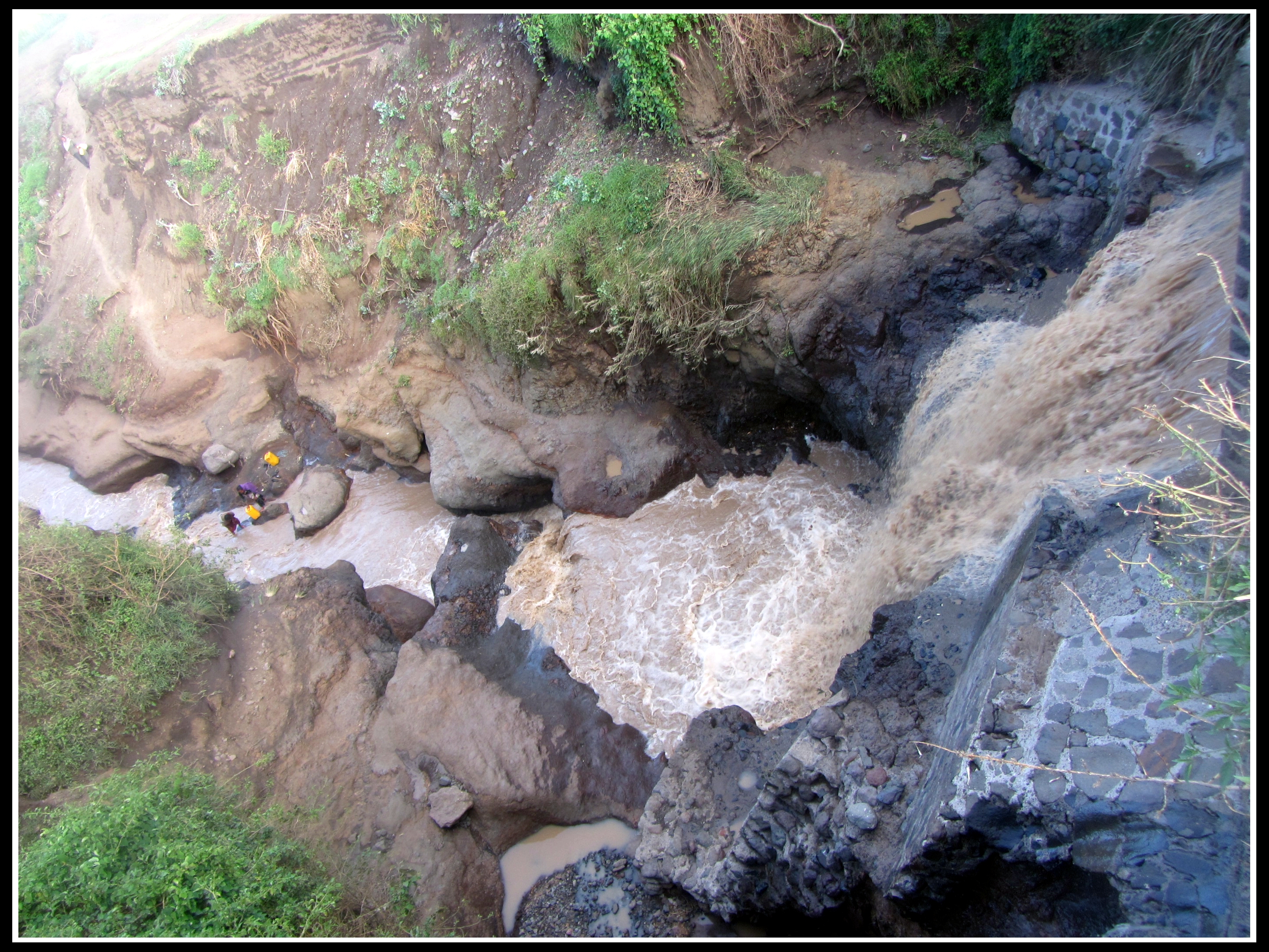
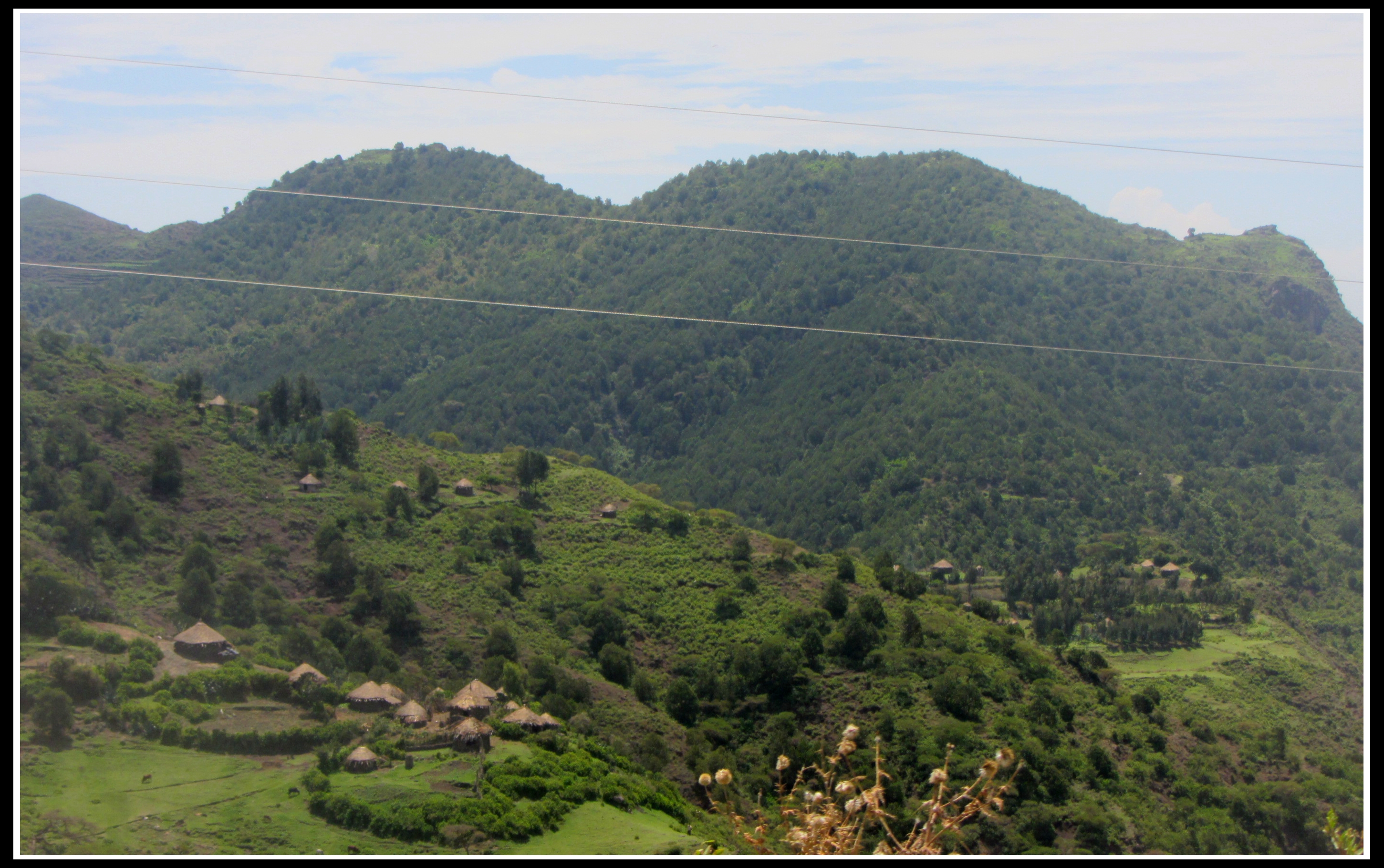
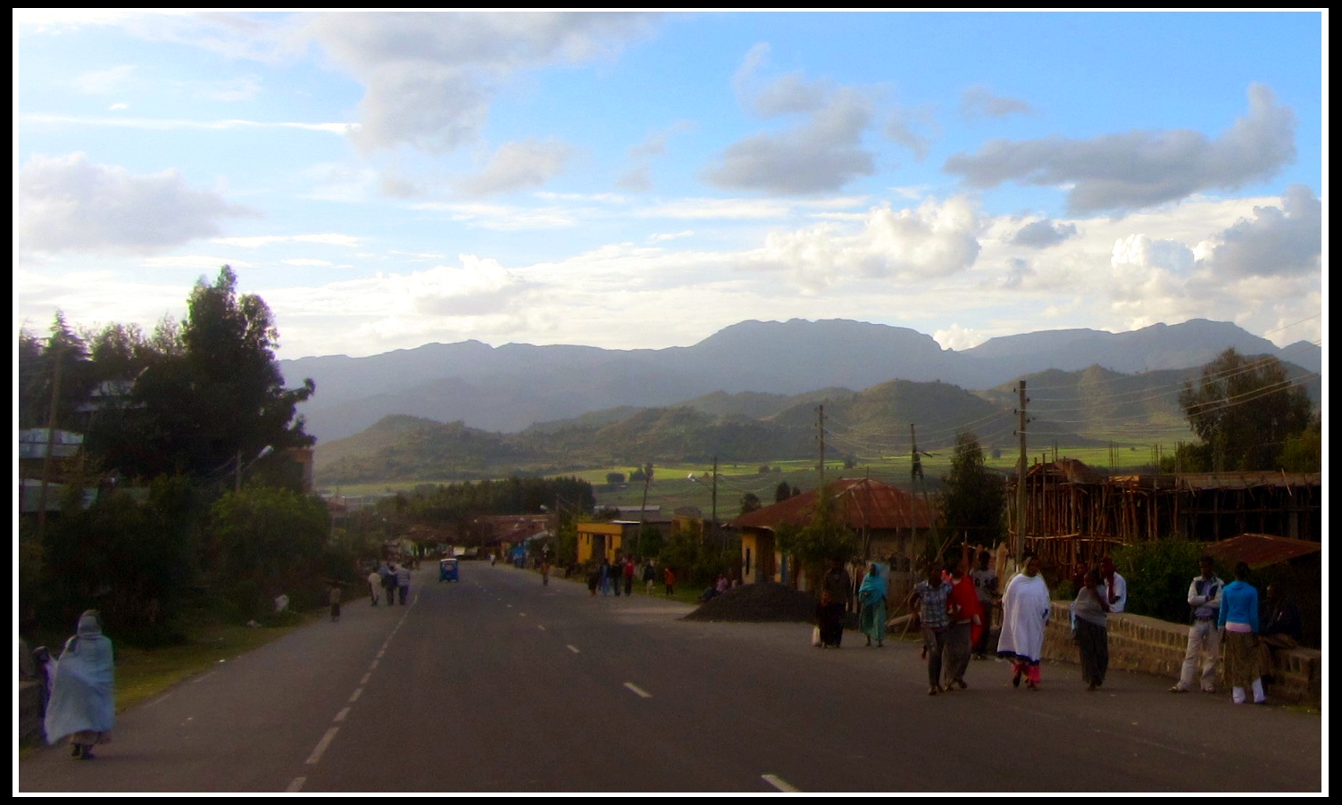
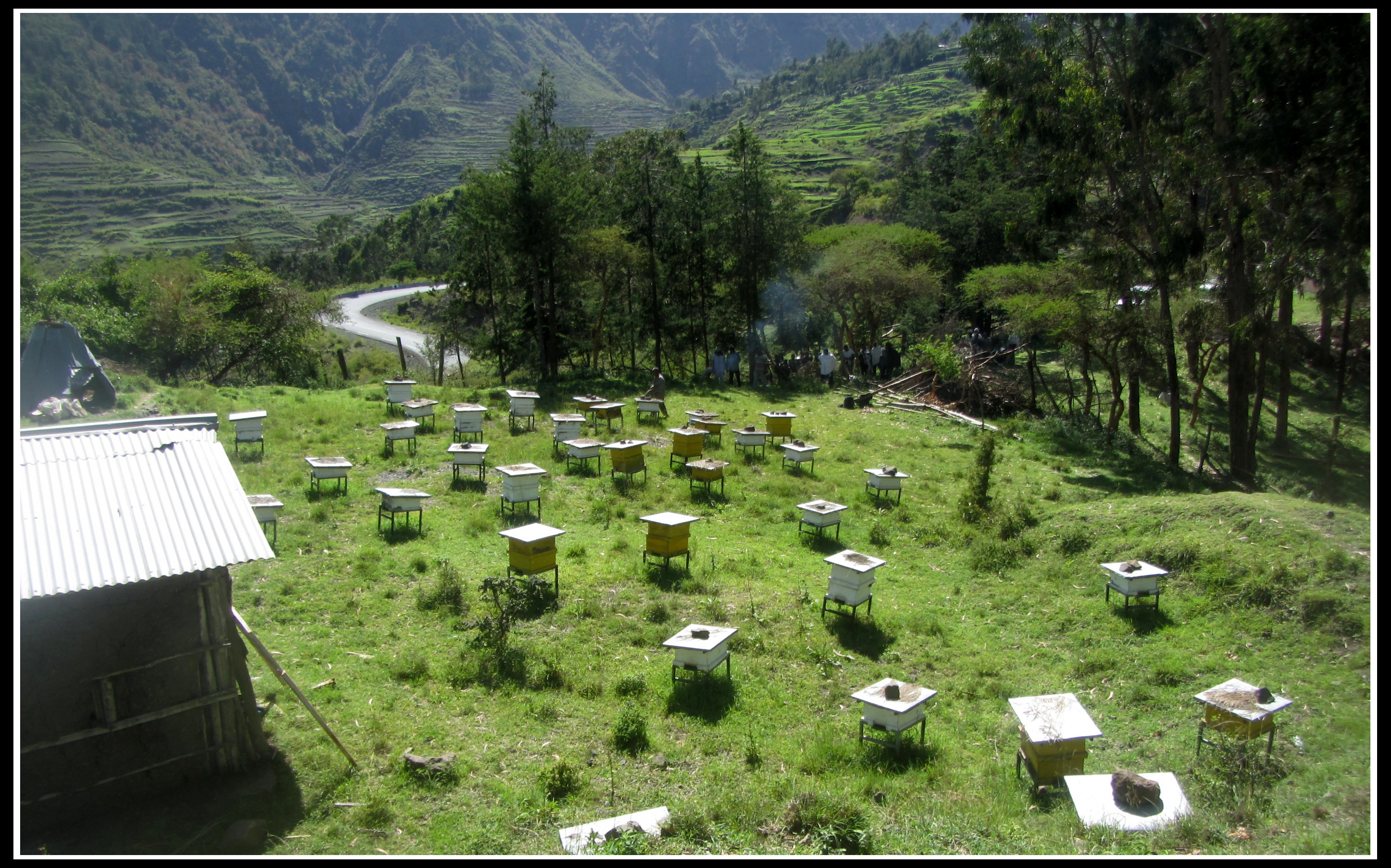
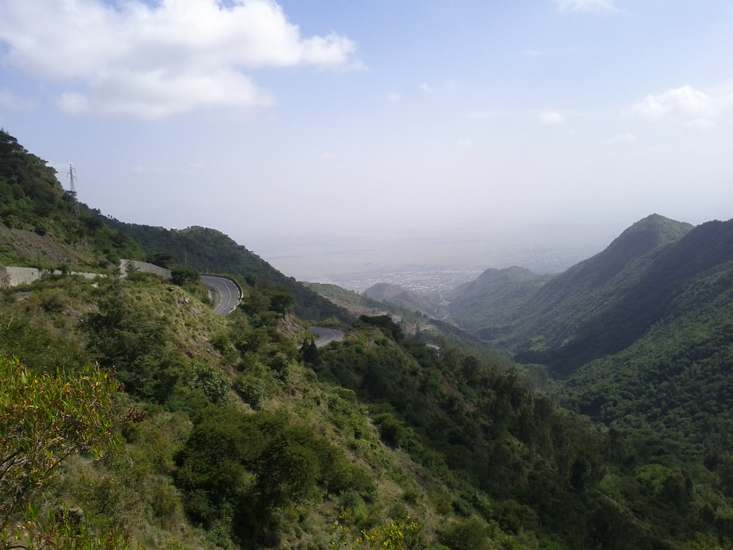
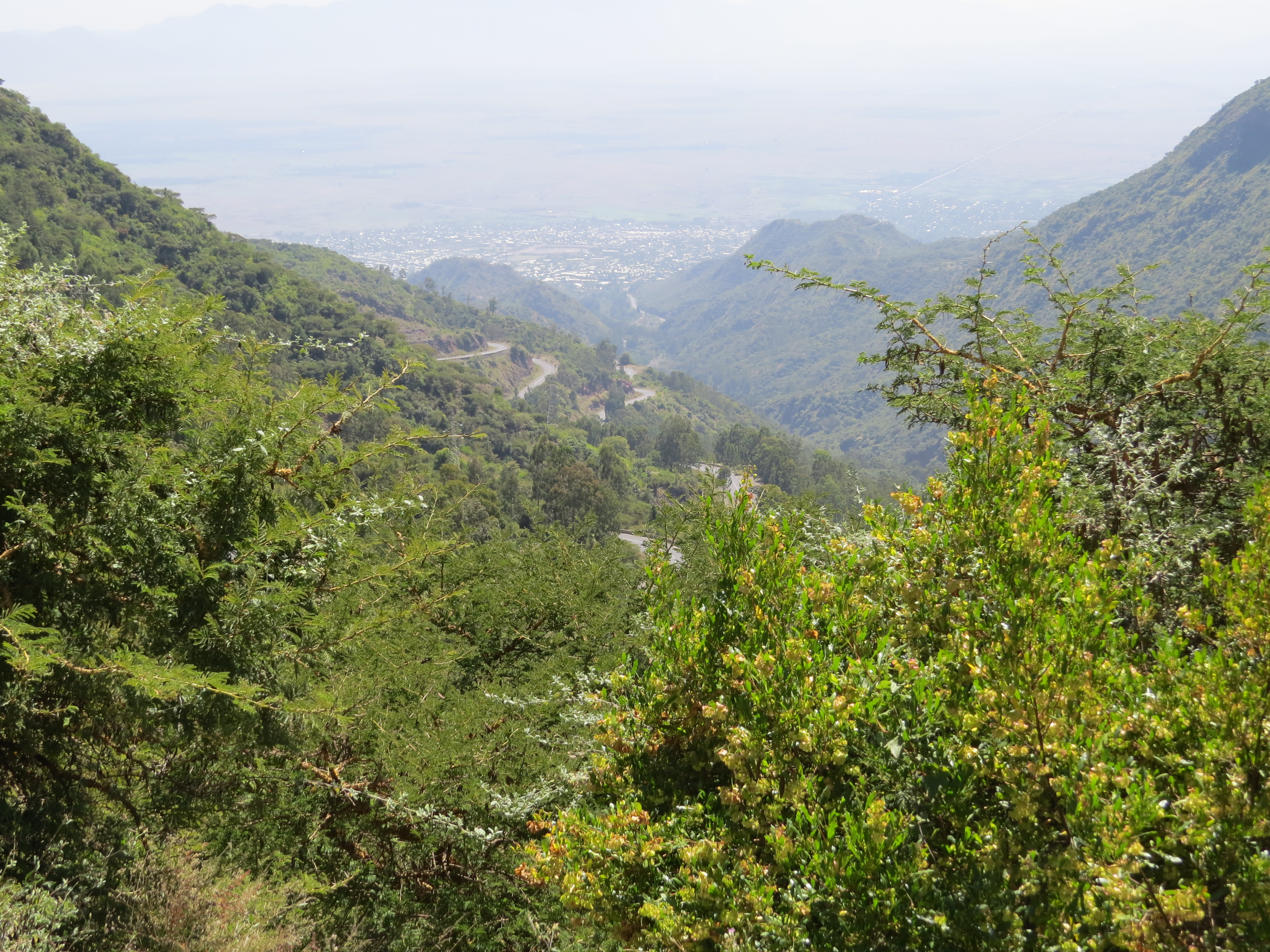
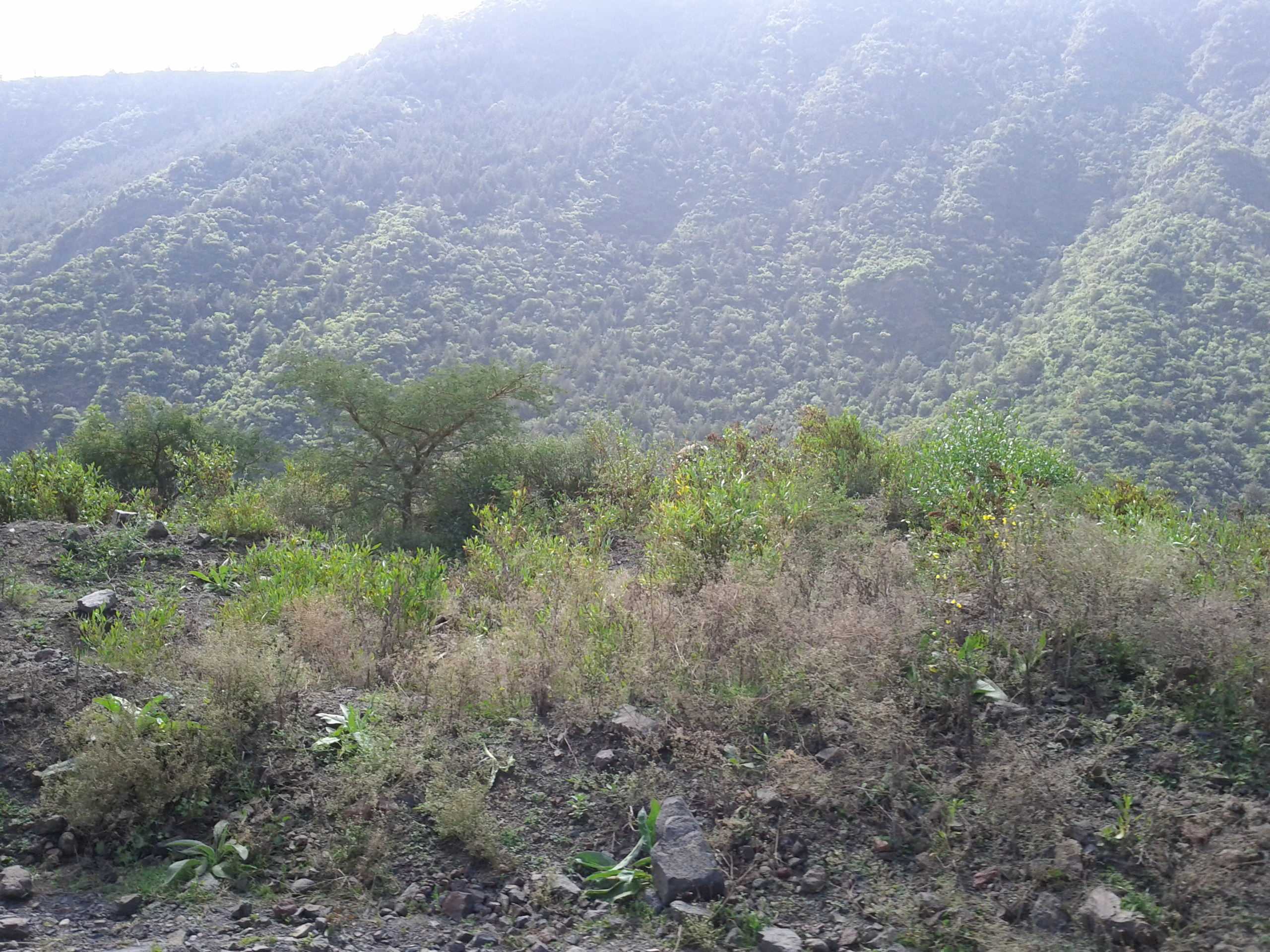
Related Photos:
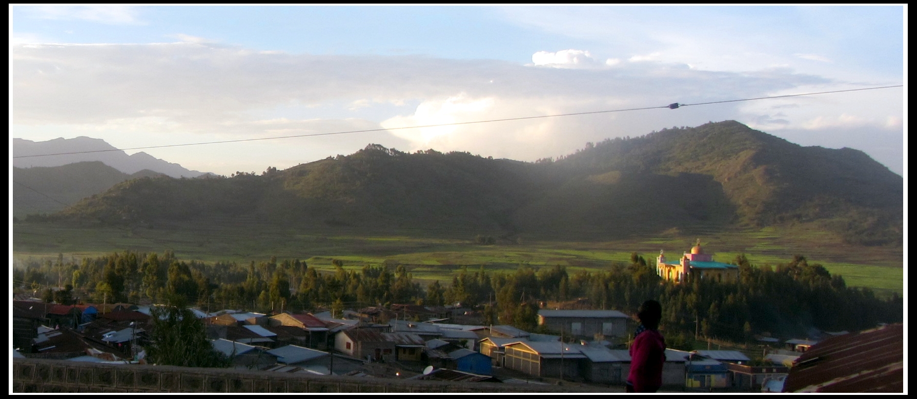
gIMG_3724b
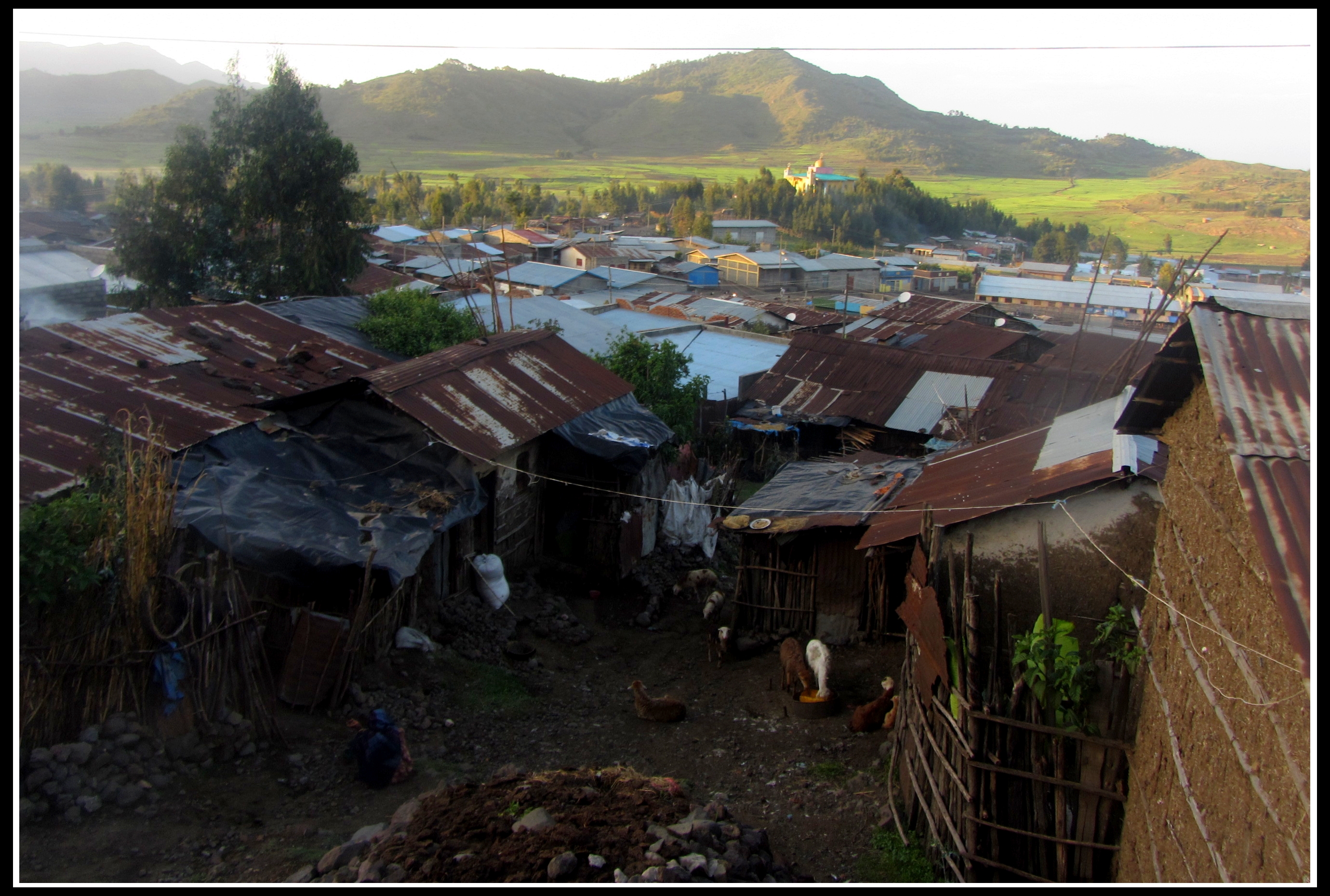
gIMG_3725b
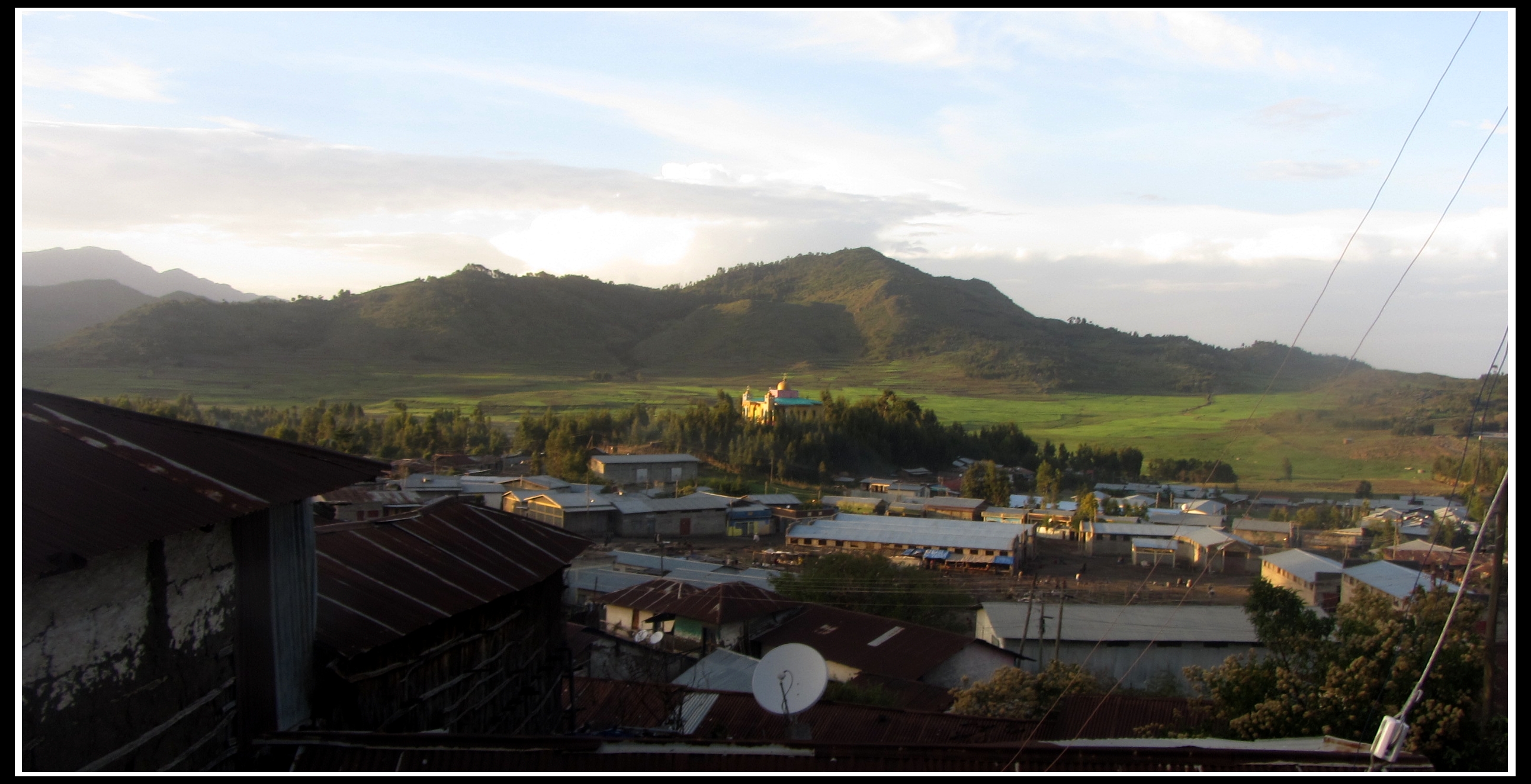
gIMG_3723b

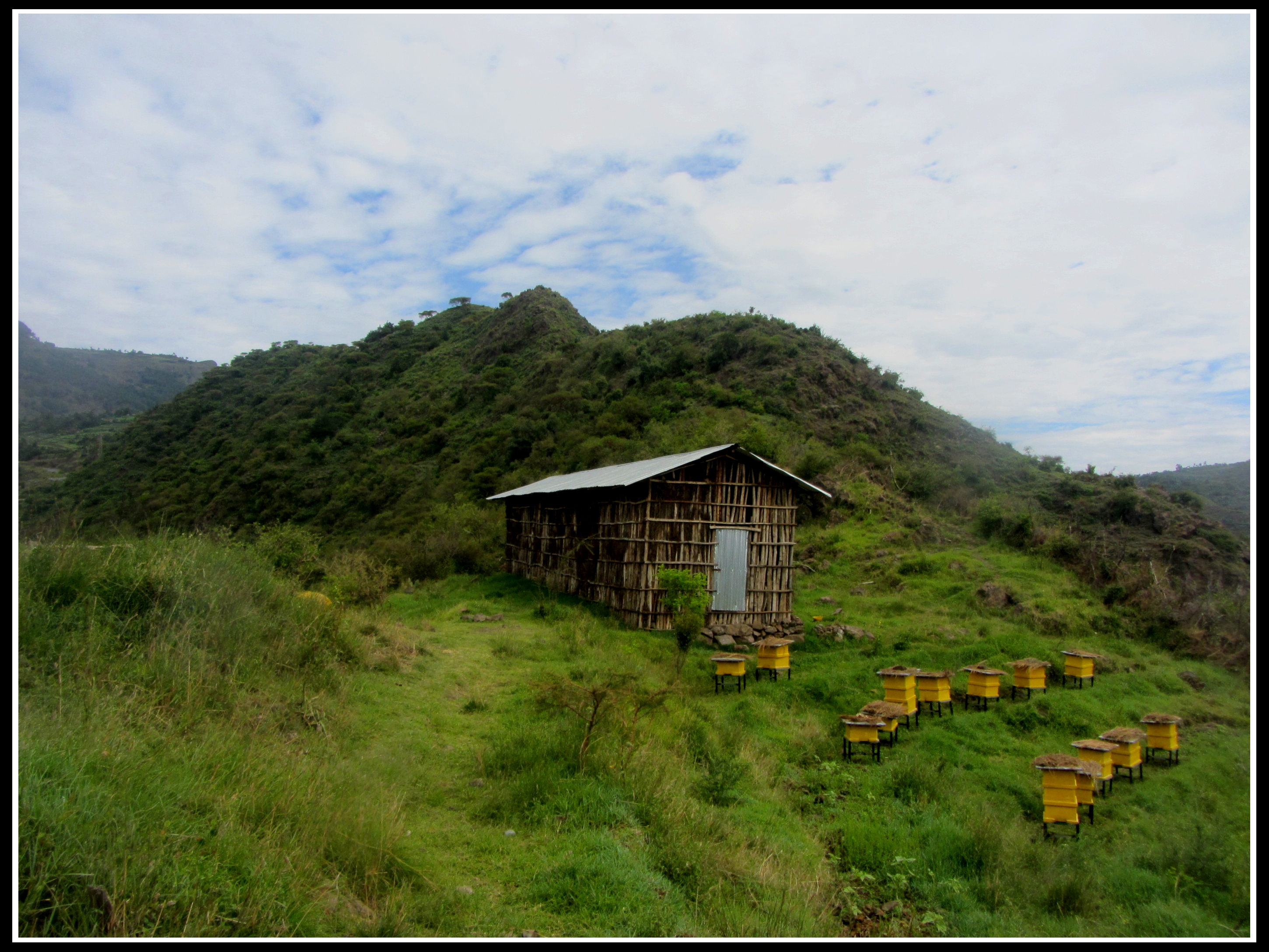
gIMG_3715b

gIMG_3783b
gIMG_3793b
gIMG_3805b
gIMG_3789b

gIMG_3806b
gIMG_3791b
gIMG_3700b
gIMG_3819b
gIMG_3707b
gIMG_3656b

gIMG_3657b
IMG_20111217_132550
IMG_0242

IMG_20111217_132807
IMG_20111217_132800
Topographic Map of Alamata, Ethiopia
Find elevation by address:

Places near Alamata, Ethiopia:
Recent Searches:
- Elevation of Corso Fratelli Cairoli, 35, Macerata MC, Italy
- Elevation of Tallevast Rd, Sarasota, FL, USA
- Elevation of 4th St E, Sonoma, CA, USA
- Elevation of Black Hollow Rd, Pennsdale, PA, USA
- Elevation of Oakland Ave, Williamsport, PA, USA
- Elevation of Pedrógão Grande, Portugal
- Elevation of Klee Dr, Martinsburg, WV, USA
- Elevation of Via Roma, Pieranica CR, Italy
- Elevation of Tavkvetili Mountain, Georgia
- Elevation of Hartfords Bluff Cir, Mt Pleasant, SC, USA