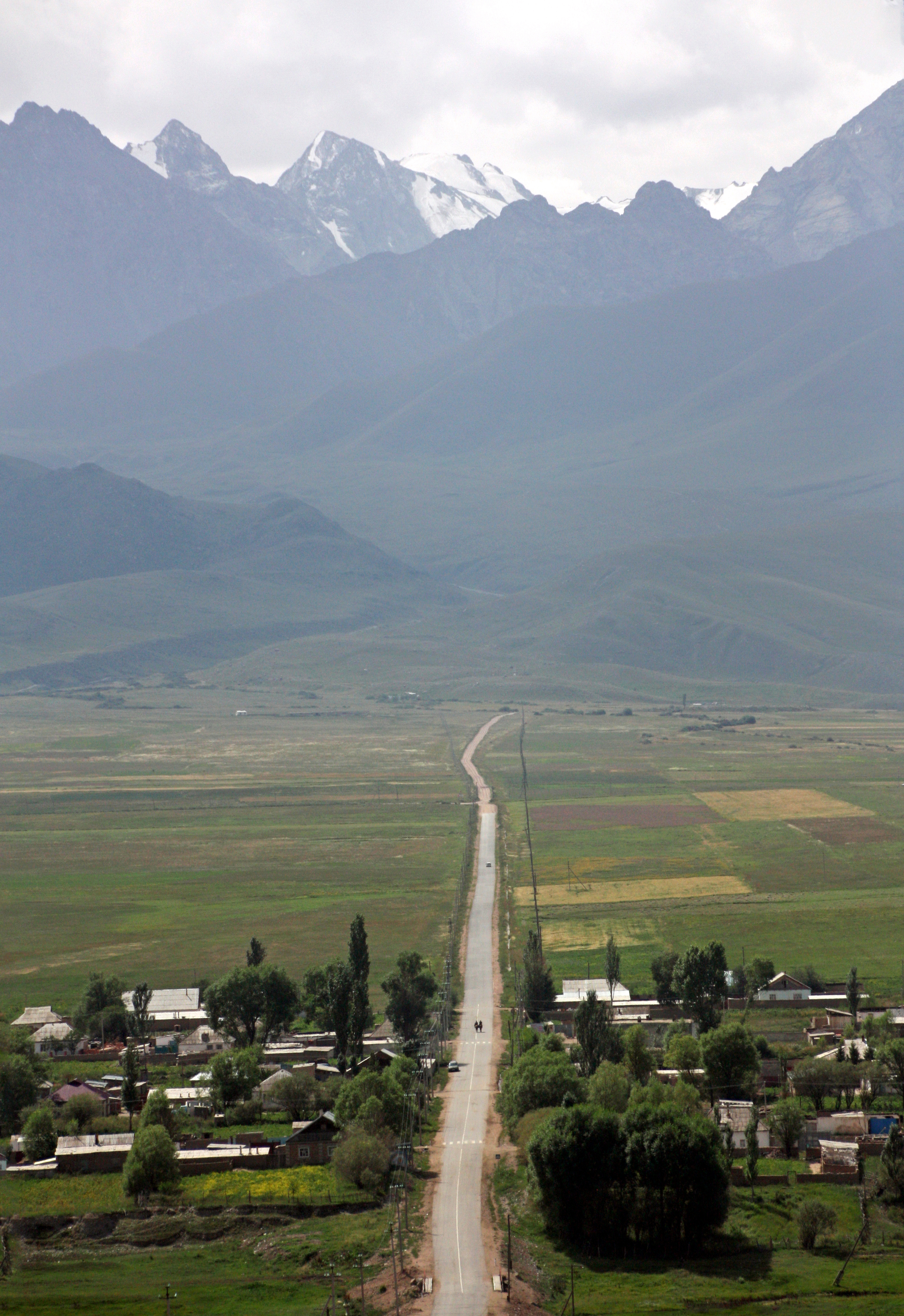
Elevation of Ala-Bash, Kyrgyzstan
Location: Kyrgyzstan > Ysyk Kol Province >
Longitude: 76.47921
Latitude: 42.113602
Elevation: 2034m / 6673feet
Barometric Pressure: 79KPa
Elevation Map:
Satellite Map:
Related Photos:
IMG_8077_edited-2

IMG_8054_edited-2

IMG_8045_edited-1

IMG_8043_edited-1

IMG_8038_edited-1

IMG_8037_edited-1
Topographic Map of Ala-Bash, Kyrgyzstan
Find elevation by address:

Places near Ala-Bash, Kyrgyzstan:
Recent Searches:
- Elevation of Corso Fratelli Cairoli, 35, Macerata MC, Italy
- Elevation of Tallevast Rd, Sarasota, FL, USA
- Elevation of 4th St E, Sonoma, CA, USA
- Elevation of Black Hollow Rd, Pennsdale, PA, USA
- Elevation of Oakland Ave, Williamsport, PA, USA
- Elevation of Pedrógão Grande, Portugal
- Elevation of Klee Dr, Martinsburg, WV, USA
- Elevation of Via Roma, Pieranica CR, Italy
- Elevation of Tavkvetili Mountain, Georgia
- Elevation of Hartfords Bluff Cir, Mt Pleasant, SC, USA