Elevation of Ajiro, Ainan-chō, Minamiuwa-gun, Ehime-ken -, Japan
Location: Japan > Ehime Prefecture > Minamiuwa District > Ainan >
Longitude: 132.404180
Latitude: 33.0333384
Elevation: 9m / 30feet
Barometric Pressure: 101KPa
Elevation Map:
Satellite Map:
Related Photos:

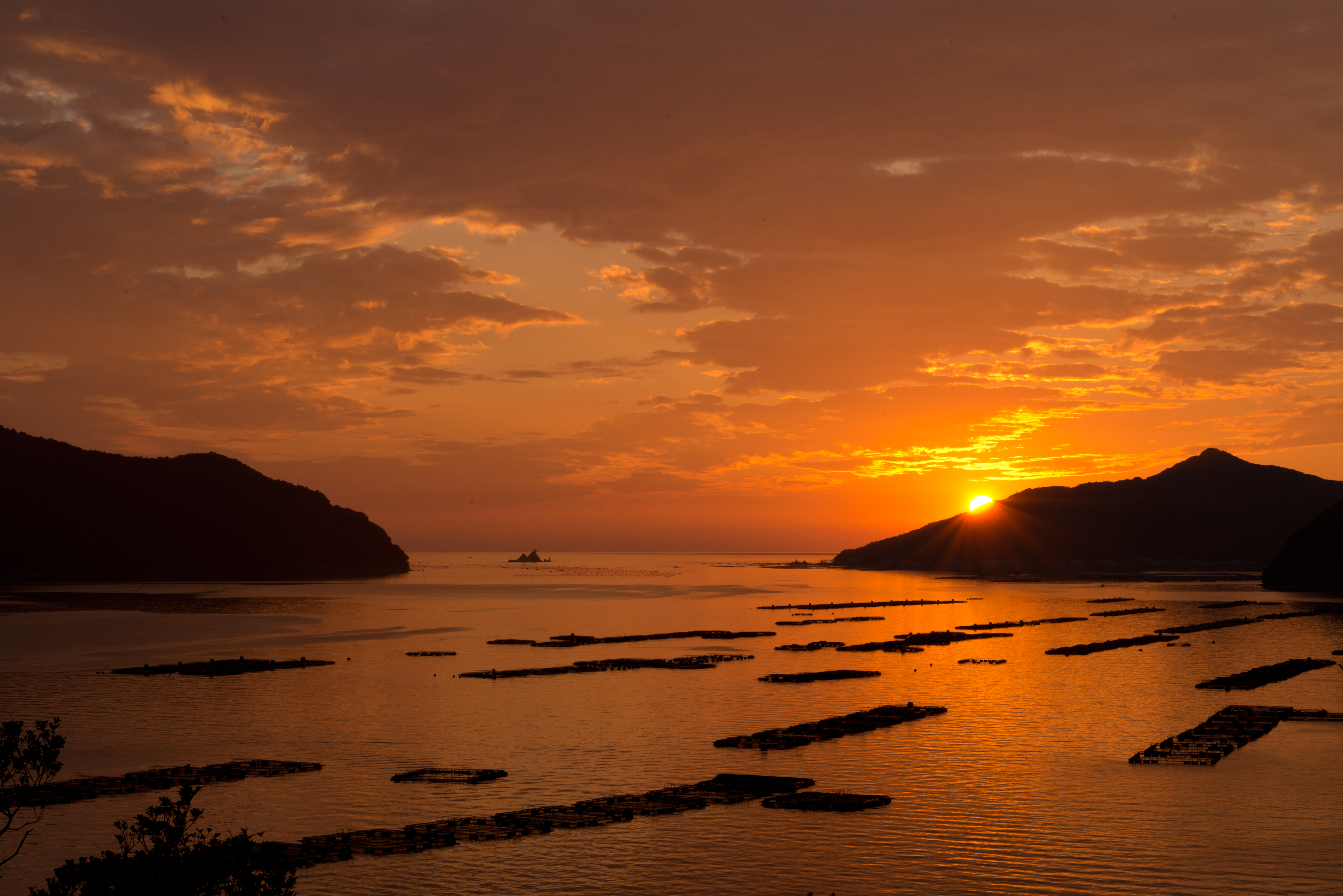
黄昏色に染まる真珠筏
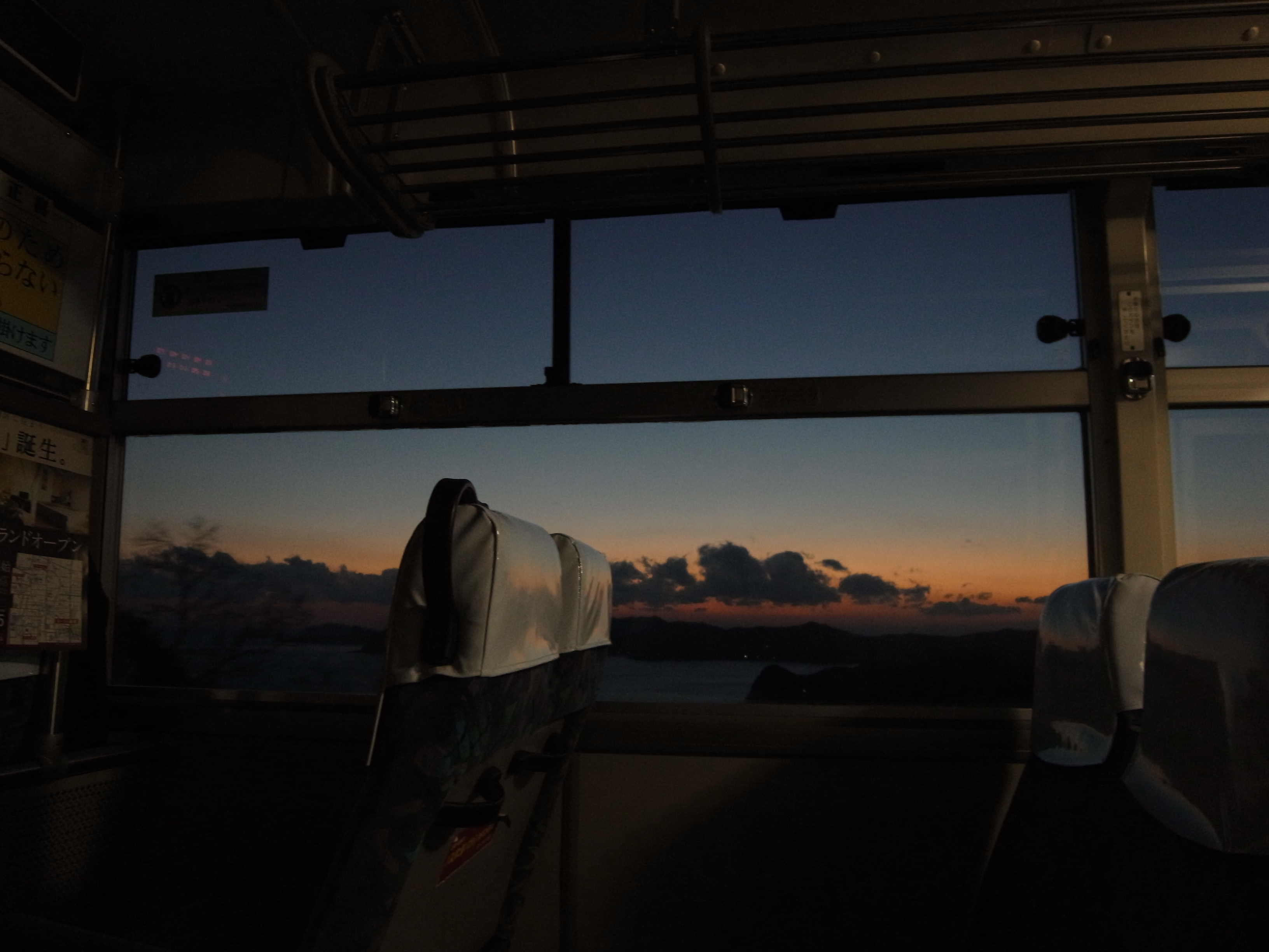
Sunset at the camp
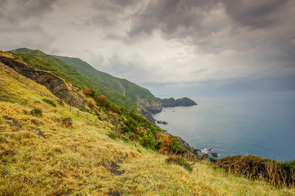
Cape Koumo (Ehime, Japan)
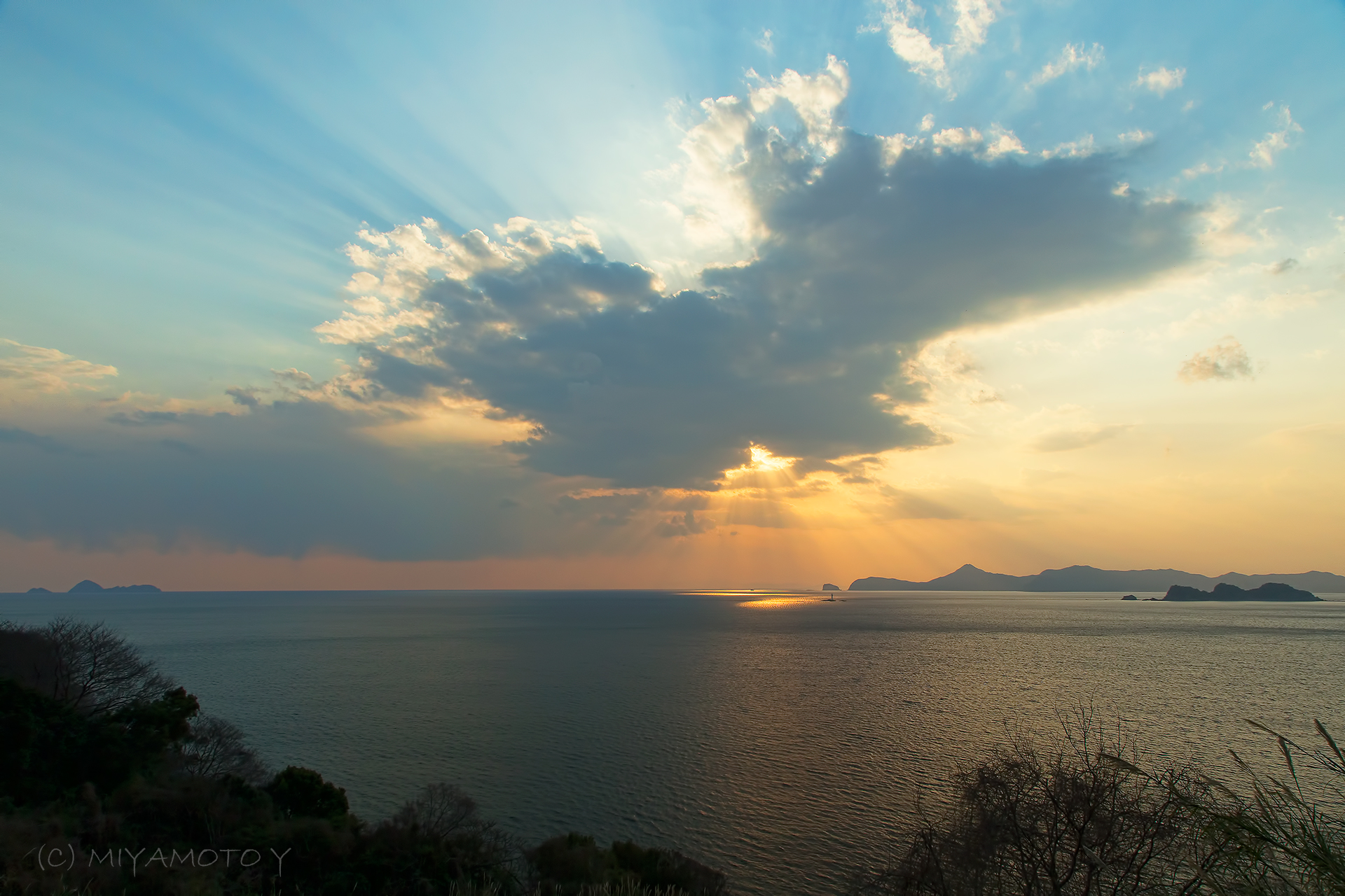
Sea and cloud
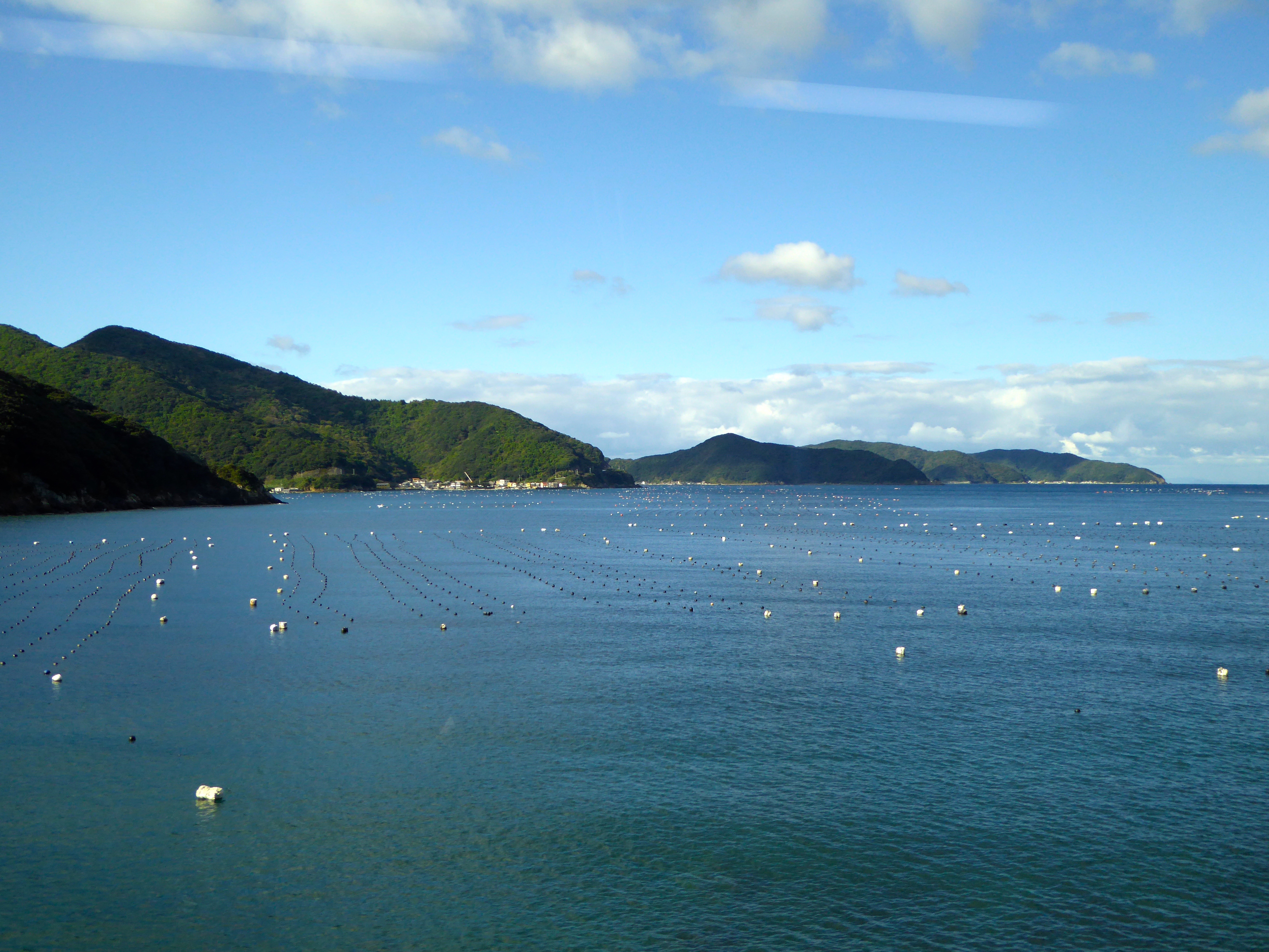
More aquaculture outside of Ainan
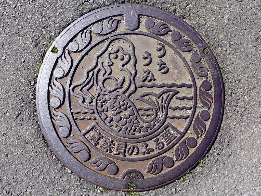
Uchiumi Ehime, manhole cover (愛媛県内海村のマンホール)
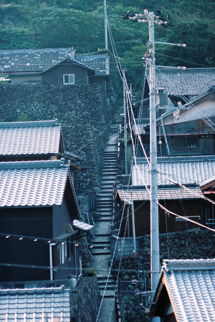
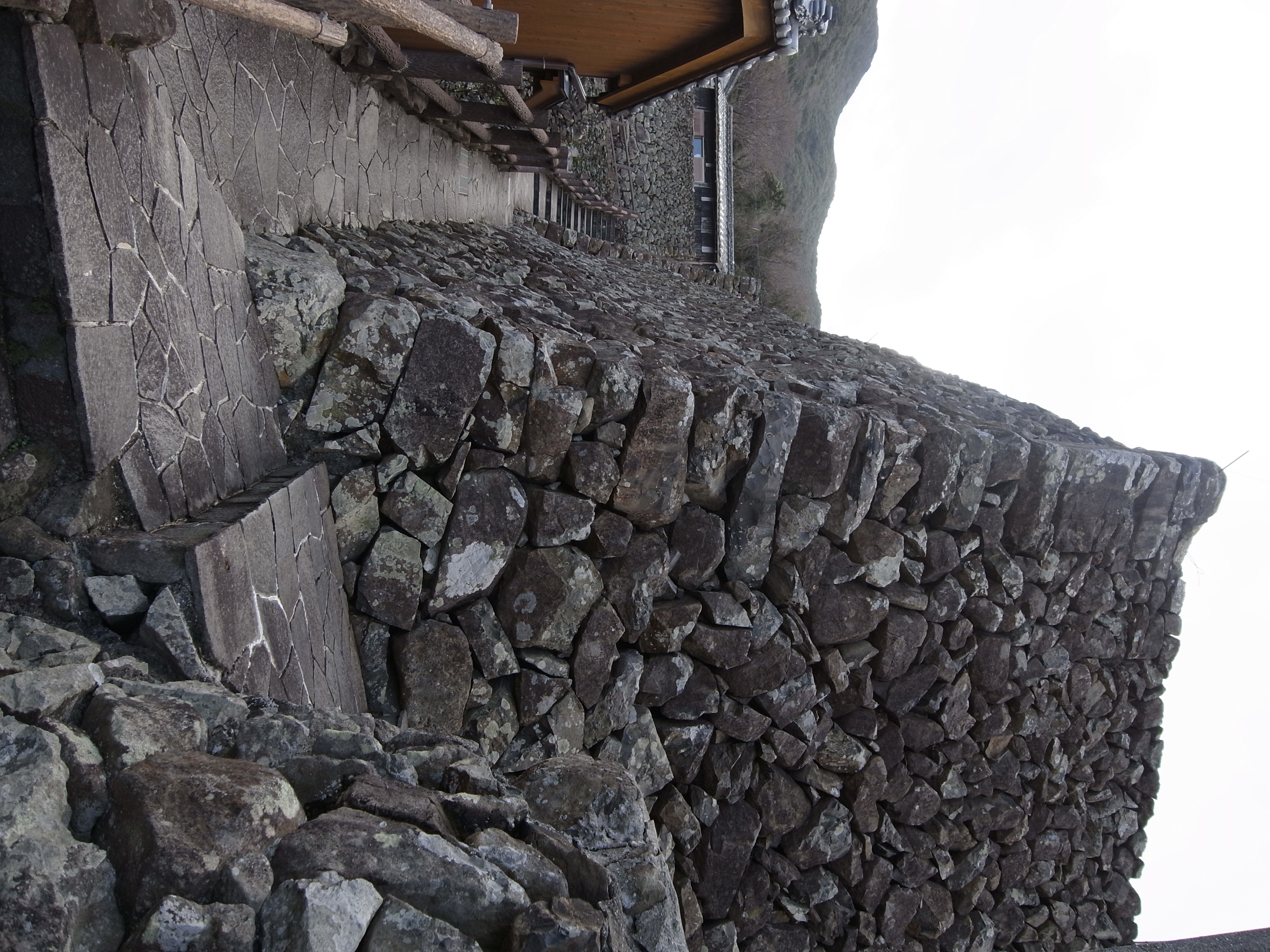
stone wall village

Coming down from guesthouse Ishigakiso in Ainan

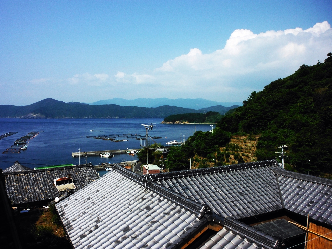
Port at Ainan
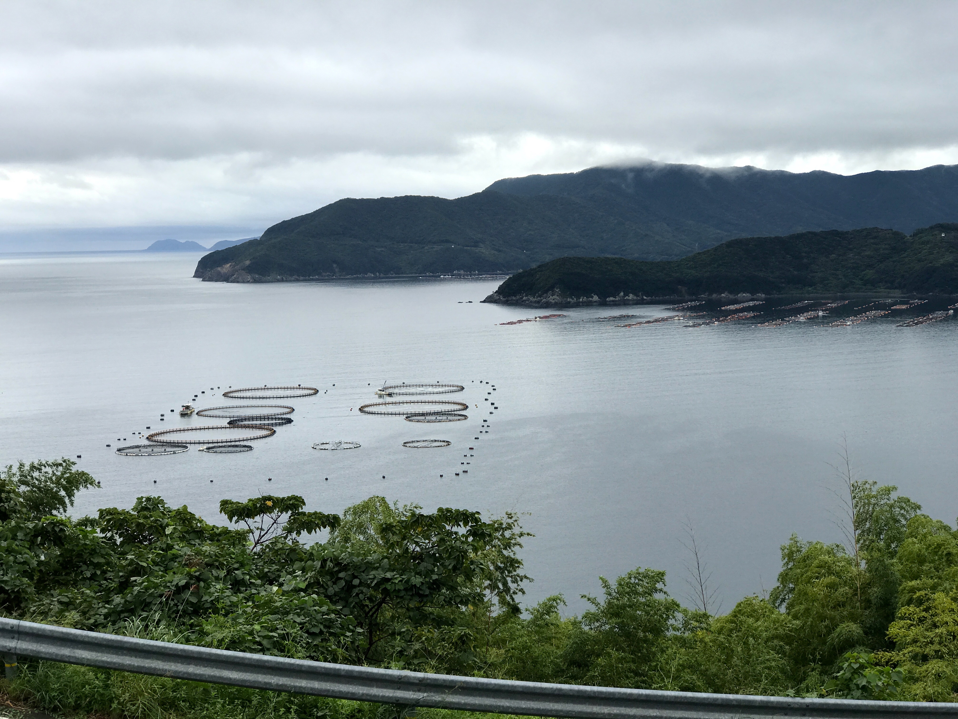
Aquaculture near Ainan
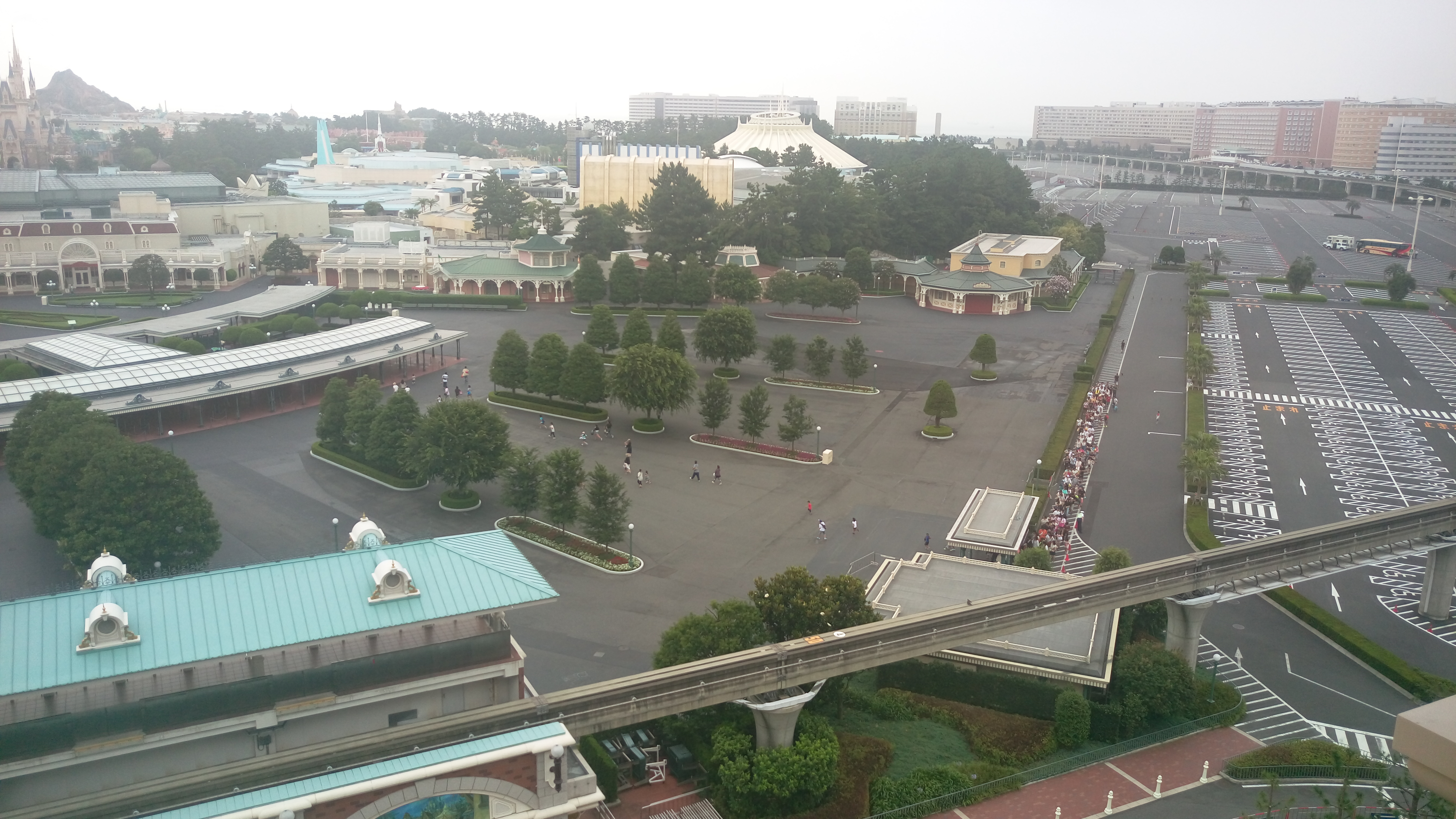
東京ディズニーランド
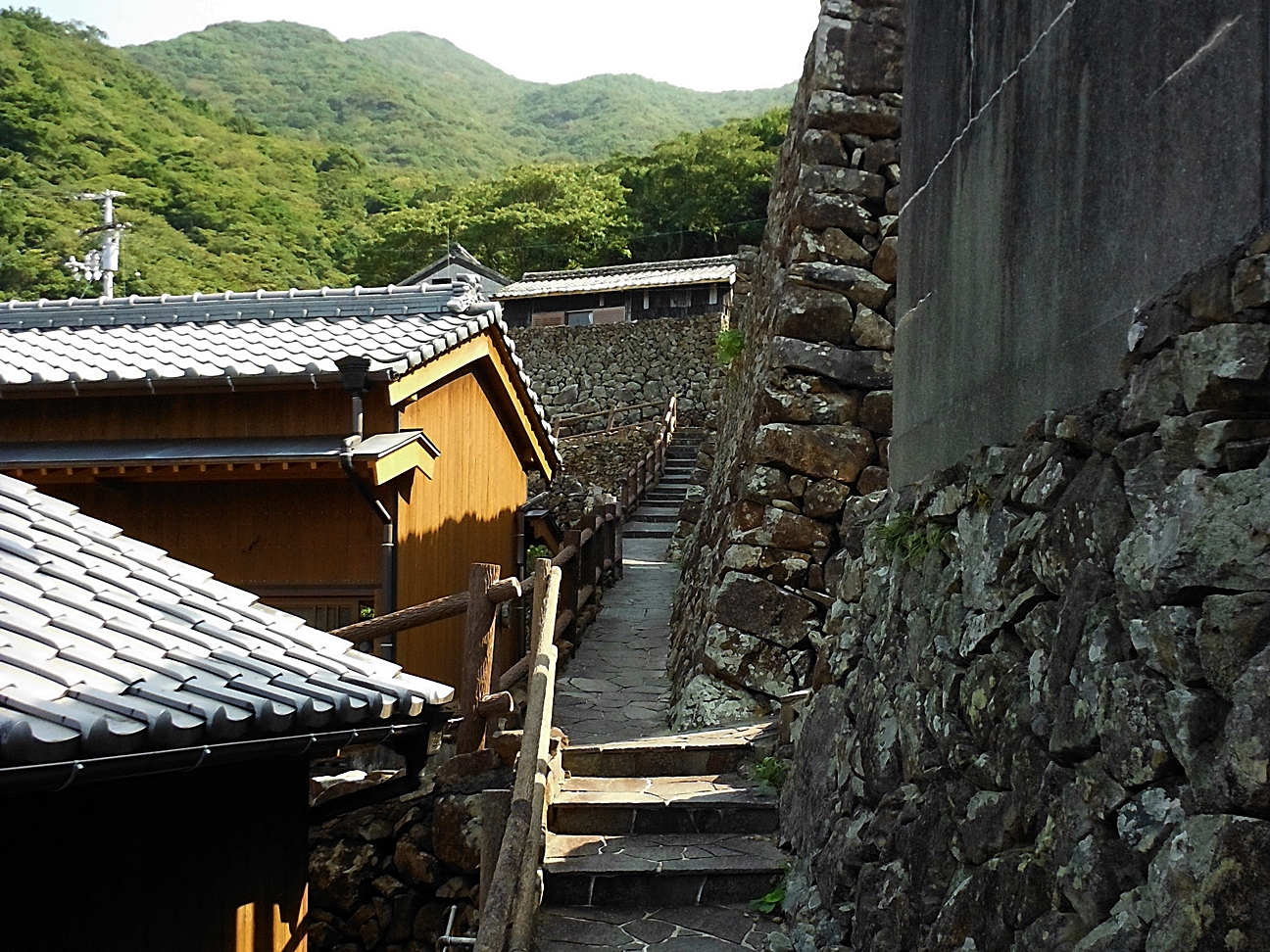
The village of a stone wall.
The village of a stone wall.
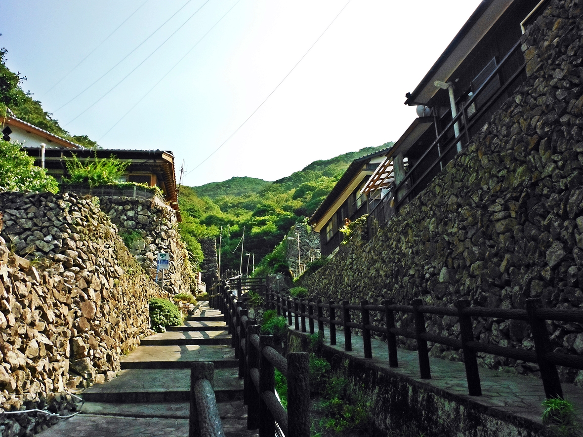
The village of a stone wall.
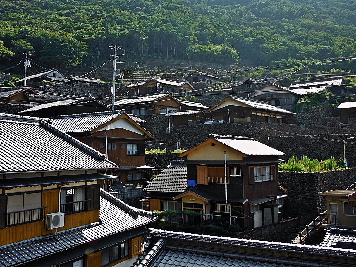
The village of a stone wall.

Taimeshi. Yummy fish.
網代線宇和島バス
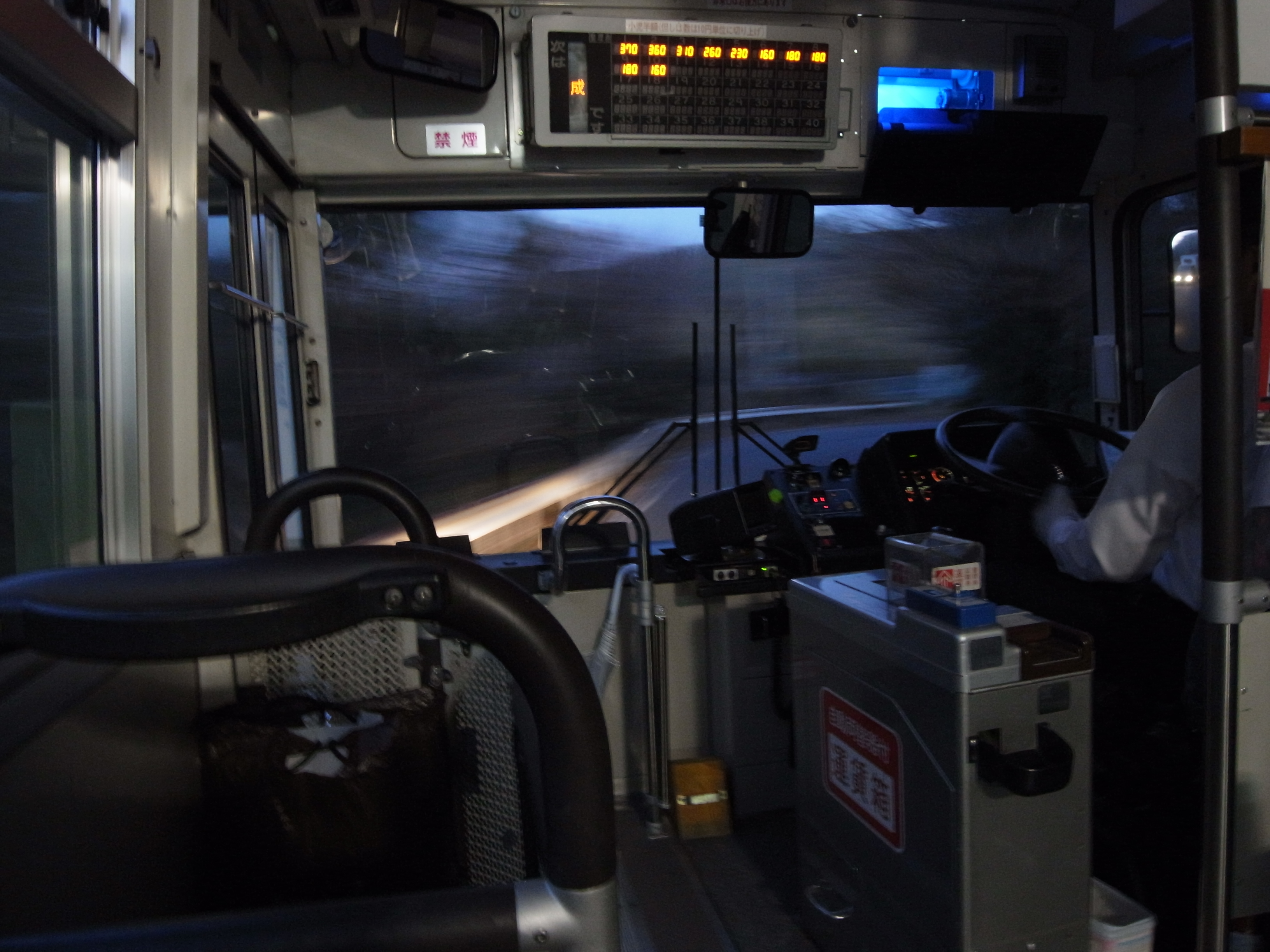
網代線宇和島バス
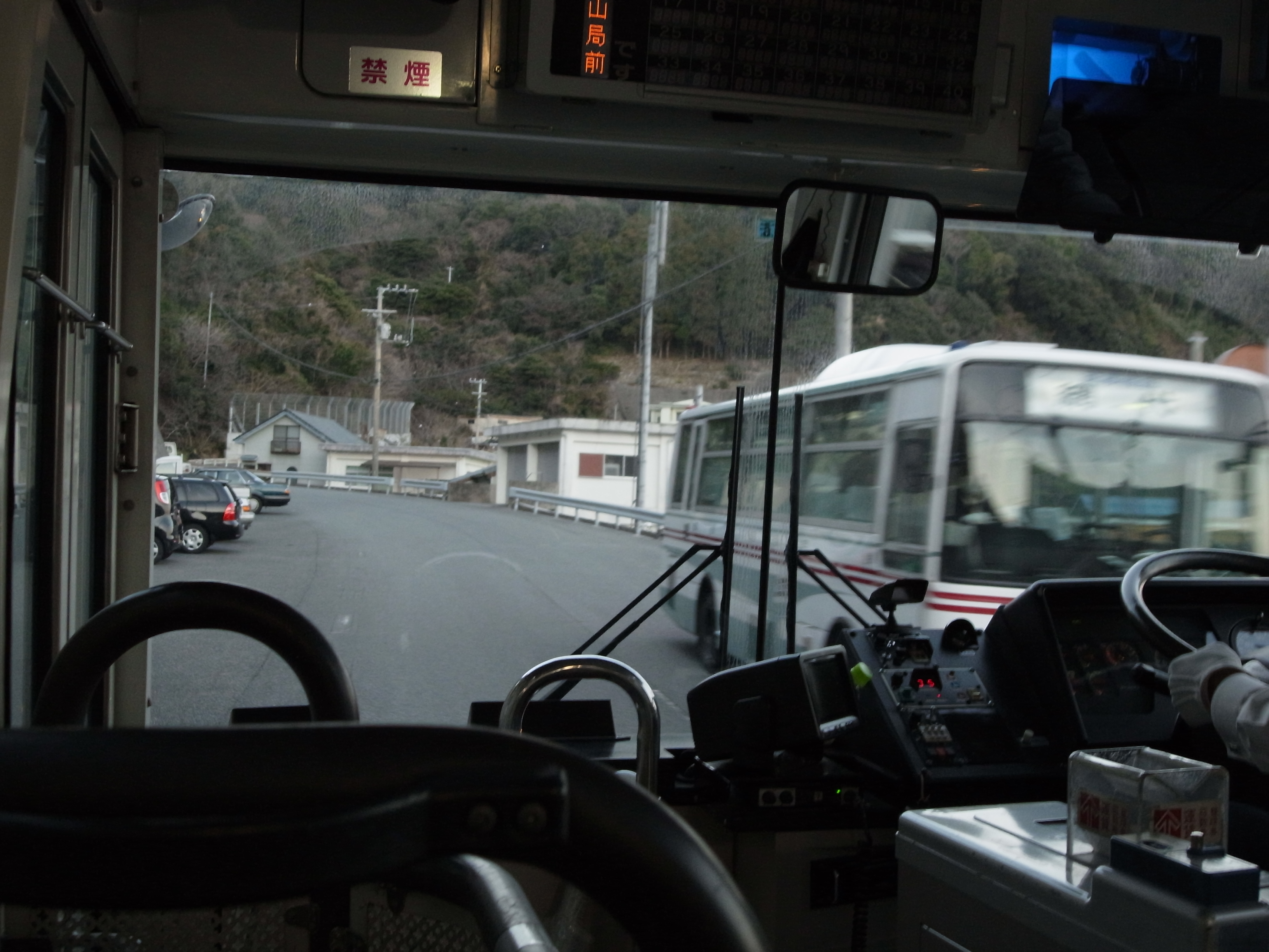
網代線宇和島バス
外泊の町並み

外泊の石雛さま
Topographic Map of Ajiro, Ainan-chō, Minamiuwa-gun, Ehime-ken -, Japan
Find elevation by address:

Places near Ajiro, Ainan-chō, Minamiuwa-gun, Ehime-ken -, Japan:
-1 Mishōhirajō, Ainan-chō, Minamiuwa-gun, Ehime-ken -, Japan
Minamiuwa District
Ainan
Midoriotsu, Ainan-chō, Minamiuwa-gun, Ehime-ken -, Japan
Uwajima Castle
1 Chome-3 Marunouchi
Uwajima
Yoshidachō Nagimi, Uwajima-shi, Ehime-ken -, Japan
Yoshidachō Asakawa, Uwajima-shi, Ehime-ken -, Japan
4- Yoshidachō Chinaga, Uwajima-shi, Ehime-ken -, Japan
甲106
7 Chome-5-39 Chūō, Sukumo-shi, Kōchi-ken -, Japan
Sukumo
3 Chome- Uwachō Unomachi, Seiyo-shi, Ehime-ken -, Japan
Seiyo
Hiromi, Ōtsuki-chō, Hata-gun, Kōchi-ken -, Japan
Kihoku
Hiromi, Ōtsuki-chō, Hata-gun, Kōchi-ken -, Japan
Otsuki
Nobinono, Matsuno-chō, Kitauwa-gun, Ehime-ken -, Japan
Recent Searches:
- Elevation of Corso Fratelli Cairoli, 35, Macerata MC, Italy
- Elevation of Tallevast Rd, Sarasota, FL, USA
- Elevation of 4th St E, Sonoma, CA, USA
- Elevation of Black Hollow Rd, Pennsdale, PA, USA
- Elevation of Oakland Ave, Williamsport, PA, USA
- Elevation of Pedrógão Grande, Portugal
- Elevation of Klee Dr, Martinsburg, WV, USA
- Elevation of Via Roma, Pieranica CR, Italy
- Elevation of Tavkvetili Mountain, Georgia
- Elevation of Hartfords Bluff Cir, Mt Pleasant, SC, USA