Elevation of Airport Road, Airport Rd, Raymond, MS, USA
Location: United States > Mississippi > Hinds County > Raymond >
Longitude: -90.382118
Latitude: 32.290977
Elevation: 82m / 269feet
Barometric Pressure: 100KPa
Elevation Map:
Satellite Map:
Related Photos:

???? So what y'all think about the tape?...........I think Lil Bruh got the hardest tape out and ain't just saying that cuz that's Lil Bruh. The numbers are saying it too. Fuck the views, Bruh got 10k Downloads in 24hrs. And read the comments TKWGO:smil

Eileen De Tullio, Soprano, with Jackson Sym. Orchestra-Concert at Hardy Jr. High School (Jackson) in early 60's.
A View to the Crossroads
This is my view right now. I want to get up & fix something to eat, but he looks so comfortable. I hate to disturb him.
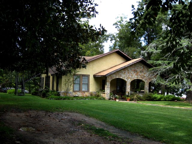
another view of that arts-and-crafts style house
left view
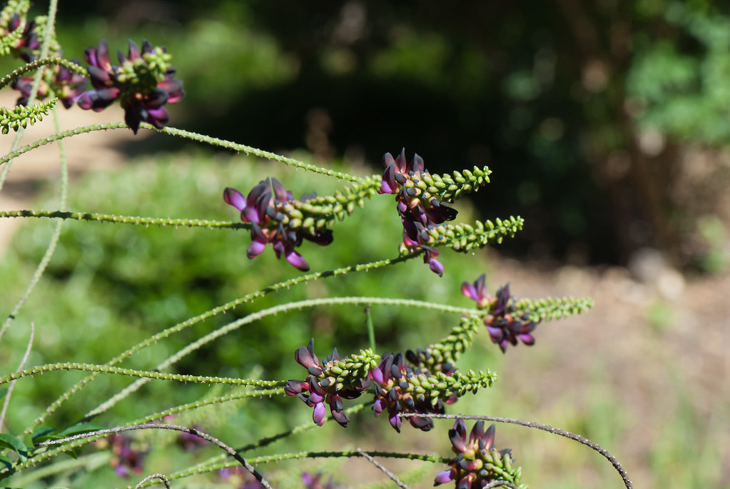
228 - Mynelle Gardens
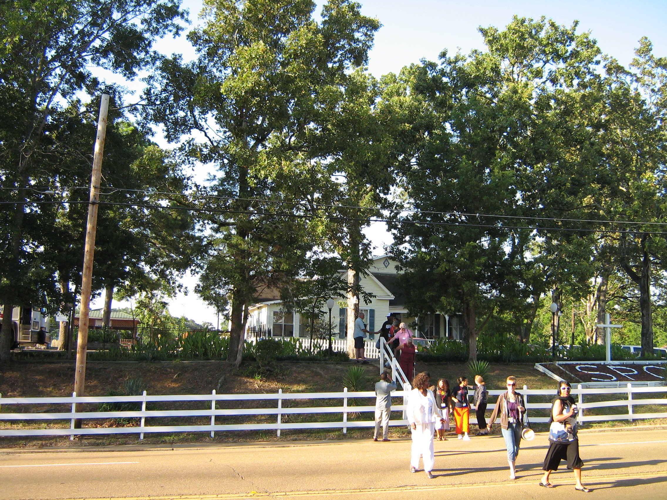
John M Perkins Center
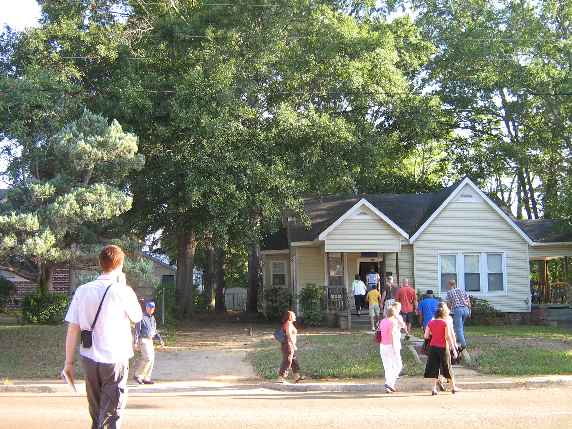
John M Perkins Center

John M Perkins Center

_DSC0174_5_6.jpg

No Title
No Title

Garden of Light

_DSC0120_1_2.jpg

_DSC0180_1_2.jpg
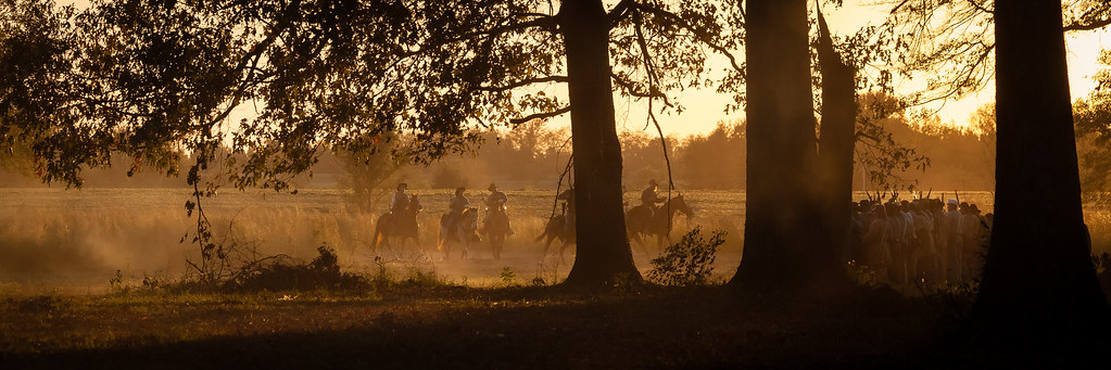
Raymond Battlefield

_DSC0144_5_6_7_8_9.jpg

_DSC0220.jpg
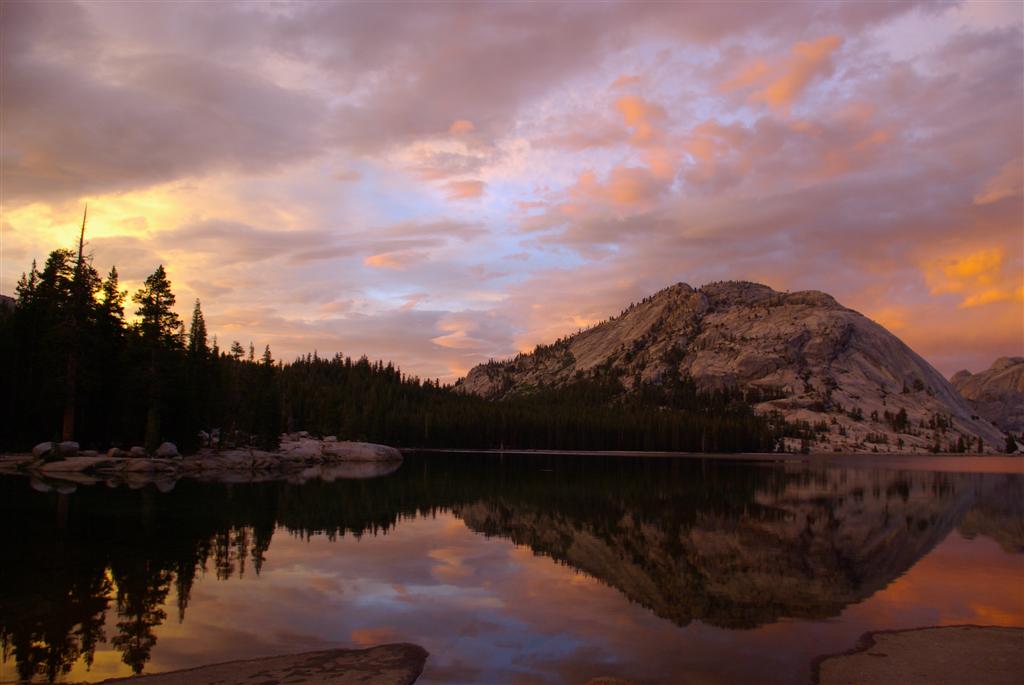
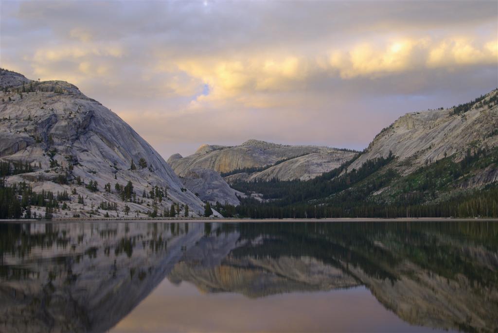
Yosemite - 05

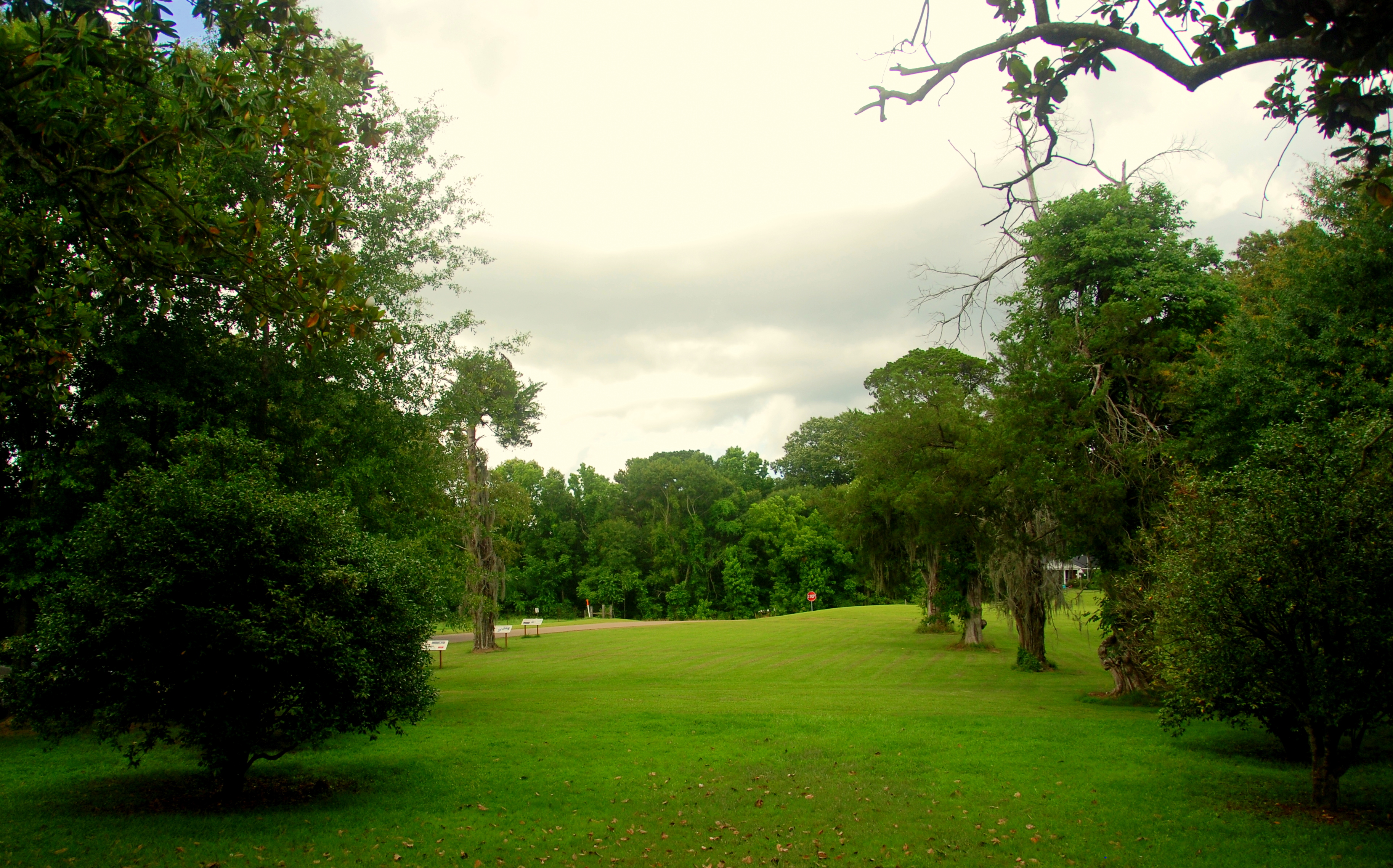
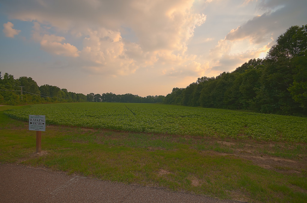
A Walk In The Park

Tonight's sunset. It doesn't look near as pretty in this picture as it actually was.
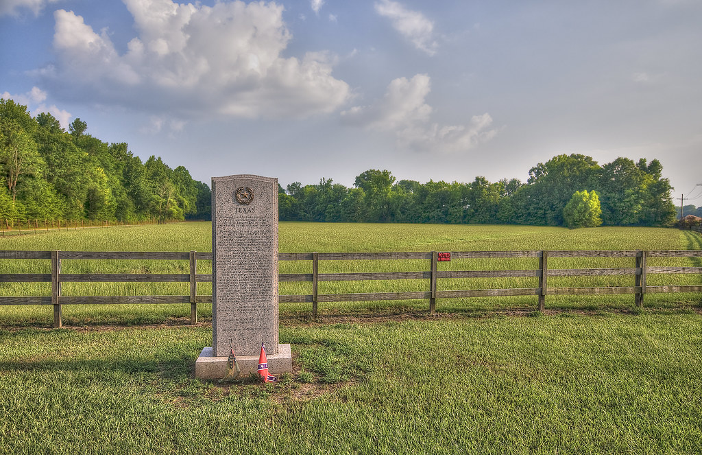
Texas Monument at 14 Mile Creek

Disc 145 158
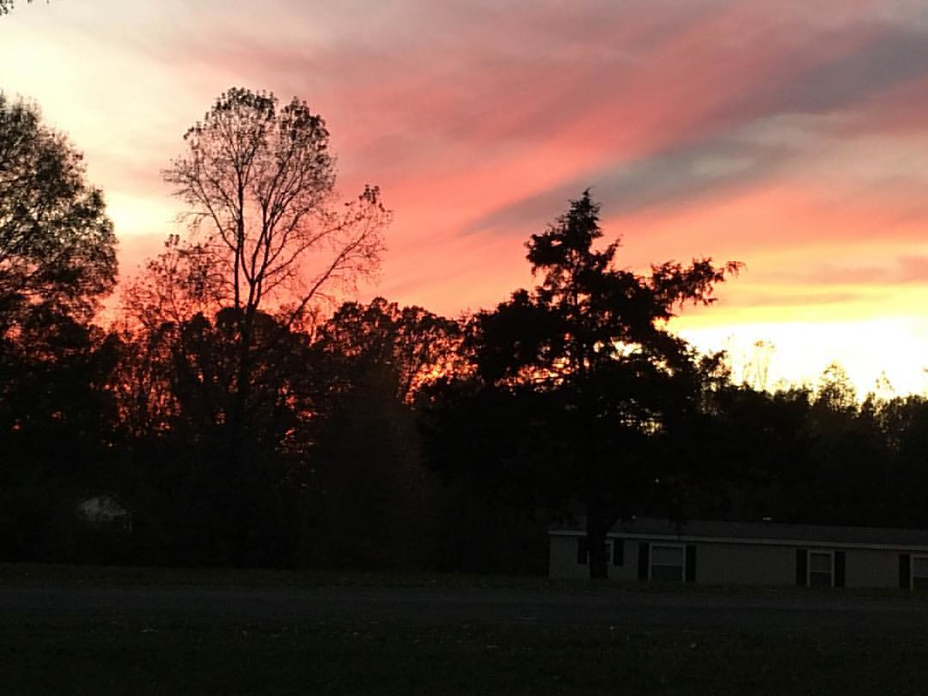
This picture doesn't do tonight's beautiful sunset justice.
Yosemite - 04
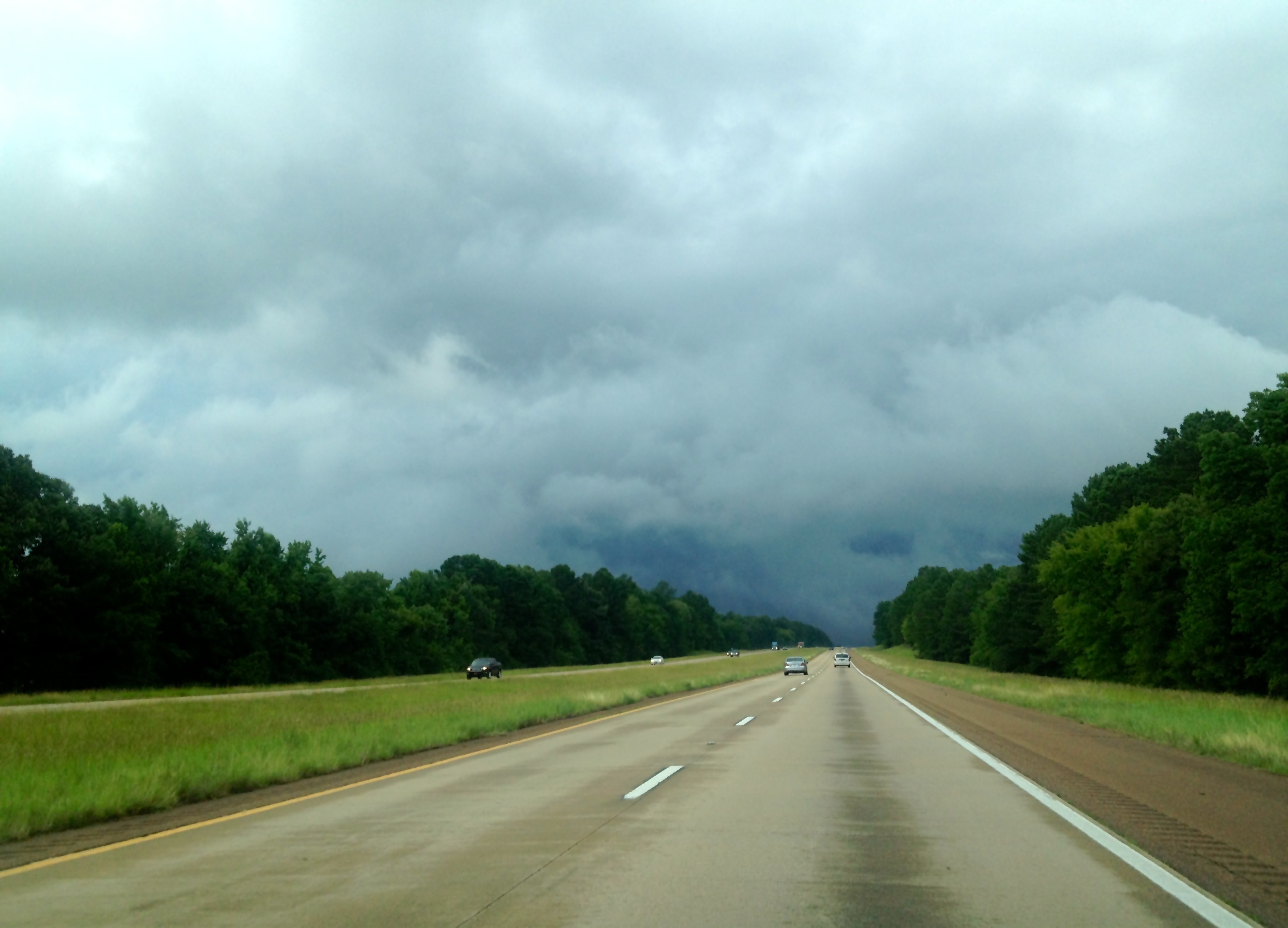
Storm Ahead
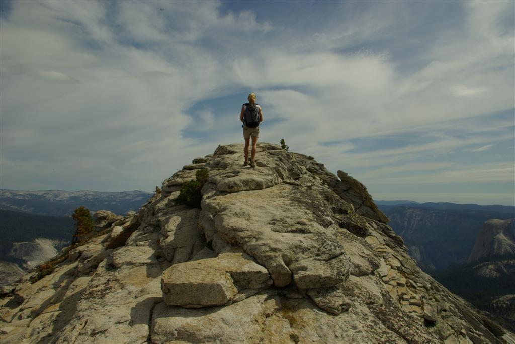
Yosemite - El Capitan
Portola Valley - 08
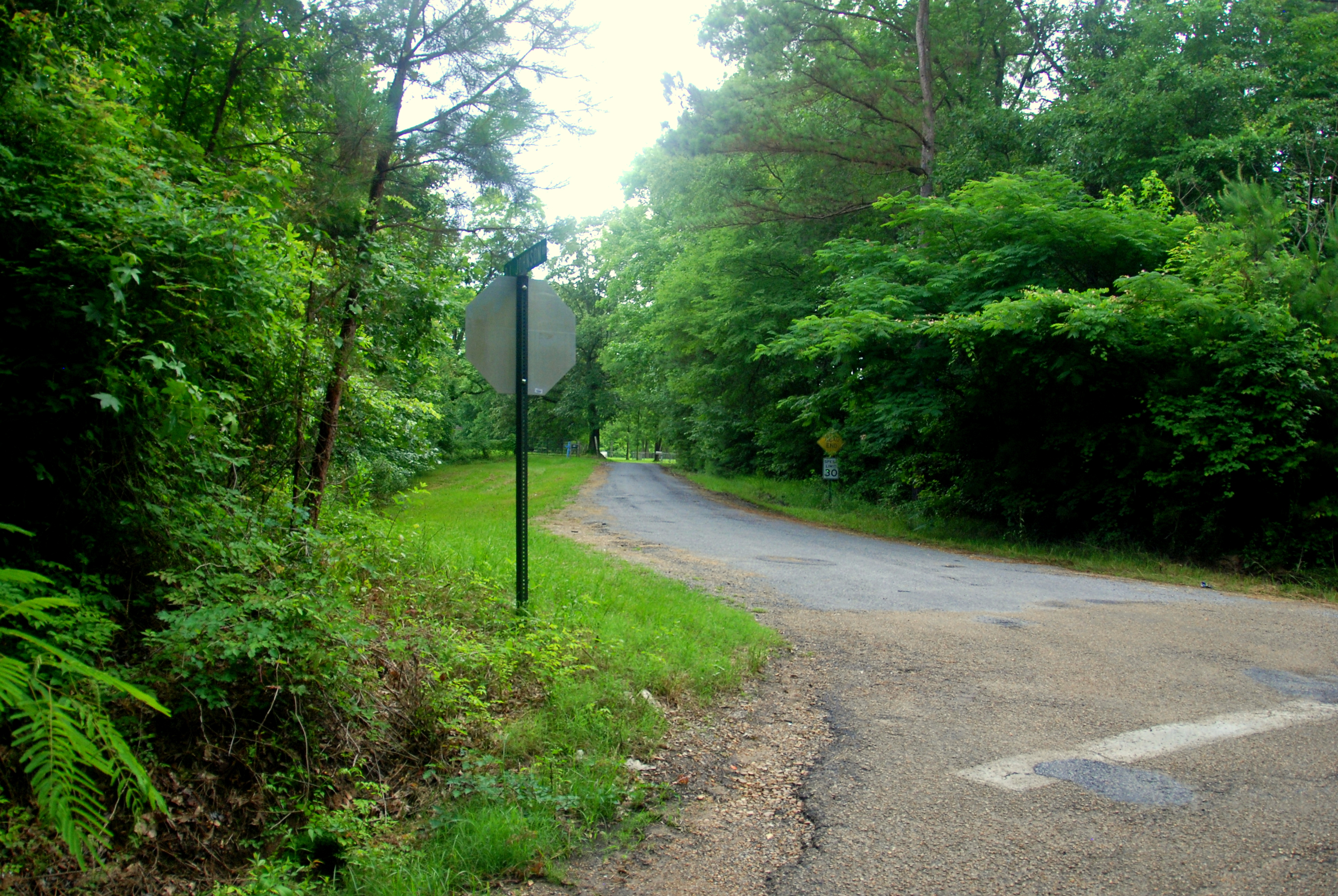
The Crossroads Today
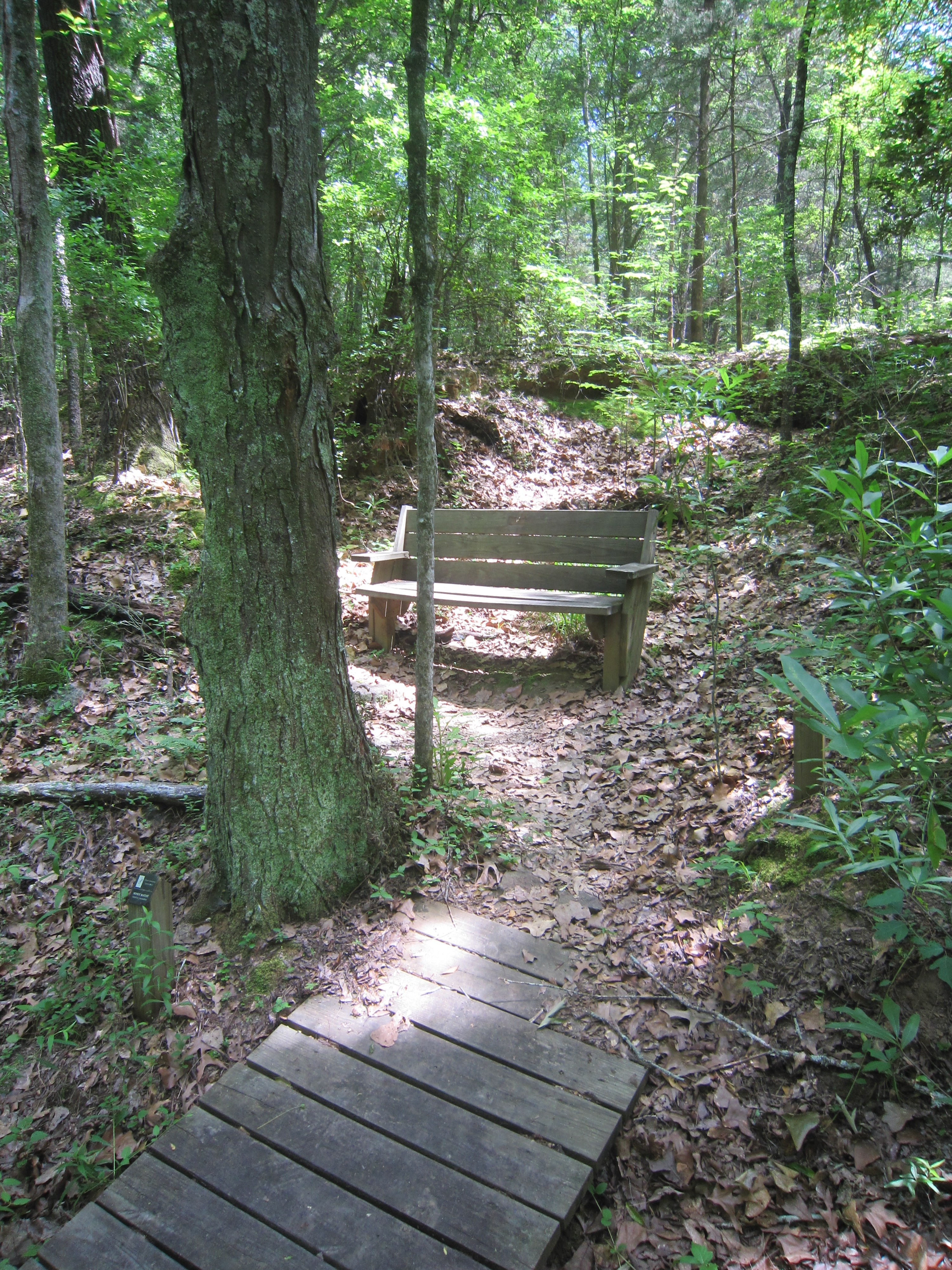
Peaceful resting place
Topographic Map of Airport Road, Airport Rd, Raymond, MS, USA
Find elevation by address:

Places near Airport Road, Airport Rd, Raymond, MS, USA:
N Midway Rd, Raymond, MS, USA
Hinds County
Clinton Raymond Road
411 Concord Dr
Raymond
Mississippi High School Activities Association
Red Oak Rd, Clinton, MS, USA
303 Us-80
Mississippi College
Dunton Rd, Clinton, MS, USA
Clinton
N Pine Lea Dr, Jackson, MS, USA
206 William Dr
102 Carriage Hills Dr
4175 Oakley Palestine Rd
4930 Neil Collins Rd
Raymond Rd, Jackson, MS, USA
251 Par Cove
106 Lake Dockery Rd
1745 Misty Ln
Recent Searches:
- Elevation of Corso Fratelli Cairoli, 35, Macerata MC, Italy
- Elevation of Tallevast Rd, Sarasota, FL, USA
- Elevation of 4th St E, Sonoma, CA, USA
- Elevation of Black Hollow Rd, Pennsdale, PA, USA
- Elevation of Oakland Ave, Williamsport, PA, USA
- Elevation of Pedrógão Grande, Portugal
- Elevation of Klee Dr, Martinsburg, WV, USA
- Elevation of Via Roma, Pieranica CR, Italy
- Elevation of Tavkvetili Mountain, Georgia
- Elevation of Hartfords Bluff Cir, Mt Pleasant, SC, USA