Elevation of Aggsbach Markt, Austria
Location: Austria > Lower Austria > Krems-land District > Gemeinde Aggsbach >
Longitude: 15.403509999999983
Latitude: 48.29393
Elevation: 210m / 689feet
Barometric Pressure: 0KPa
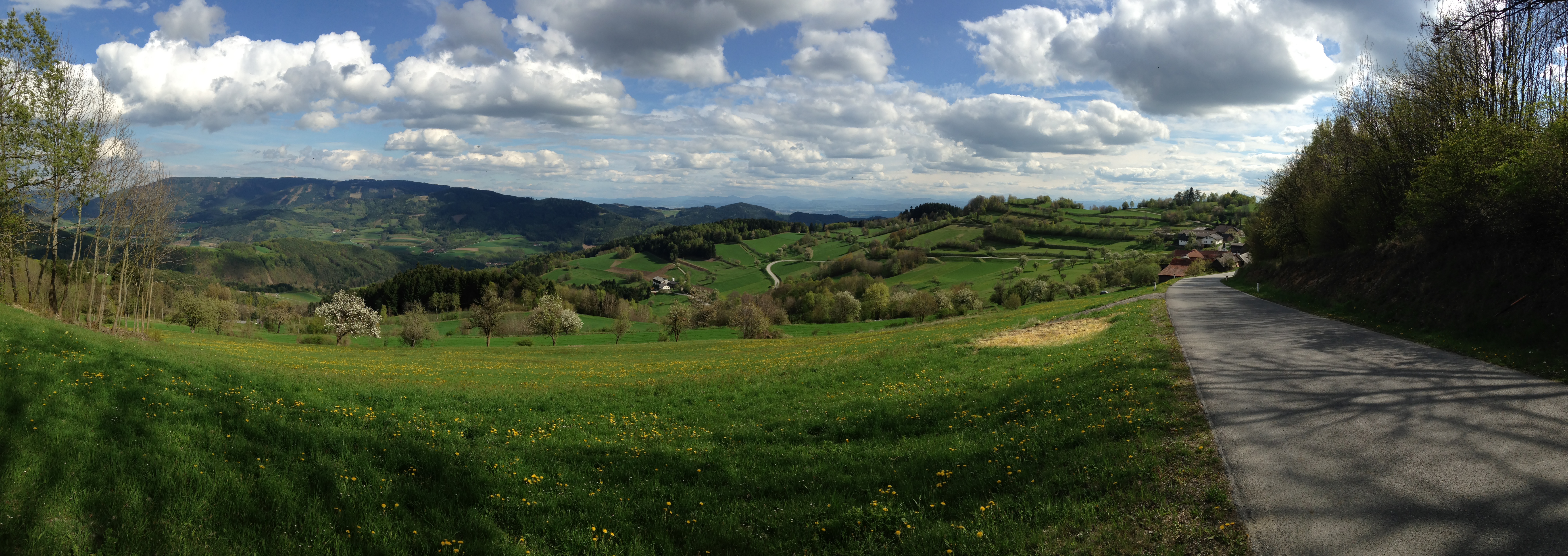
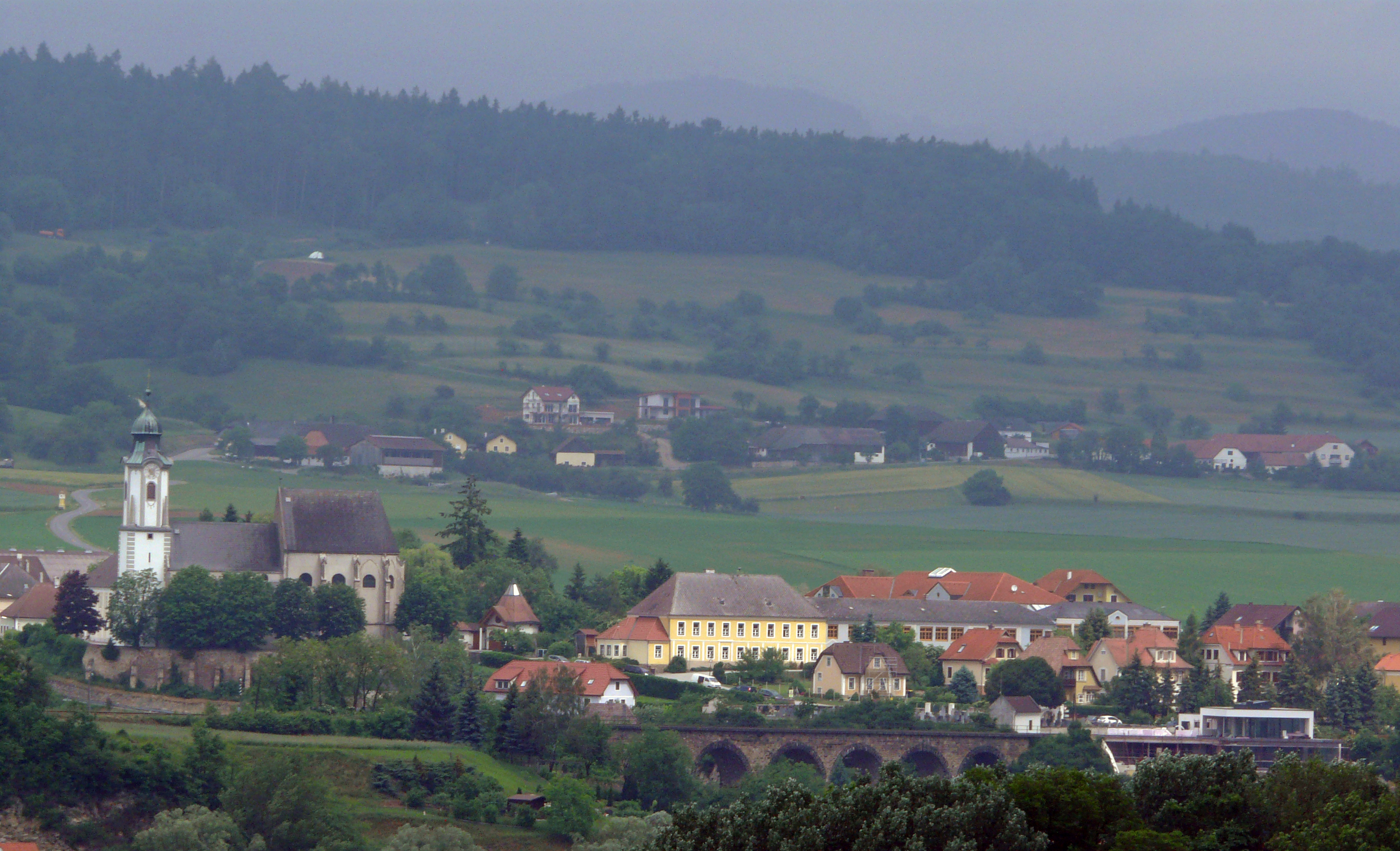
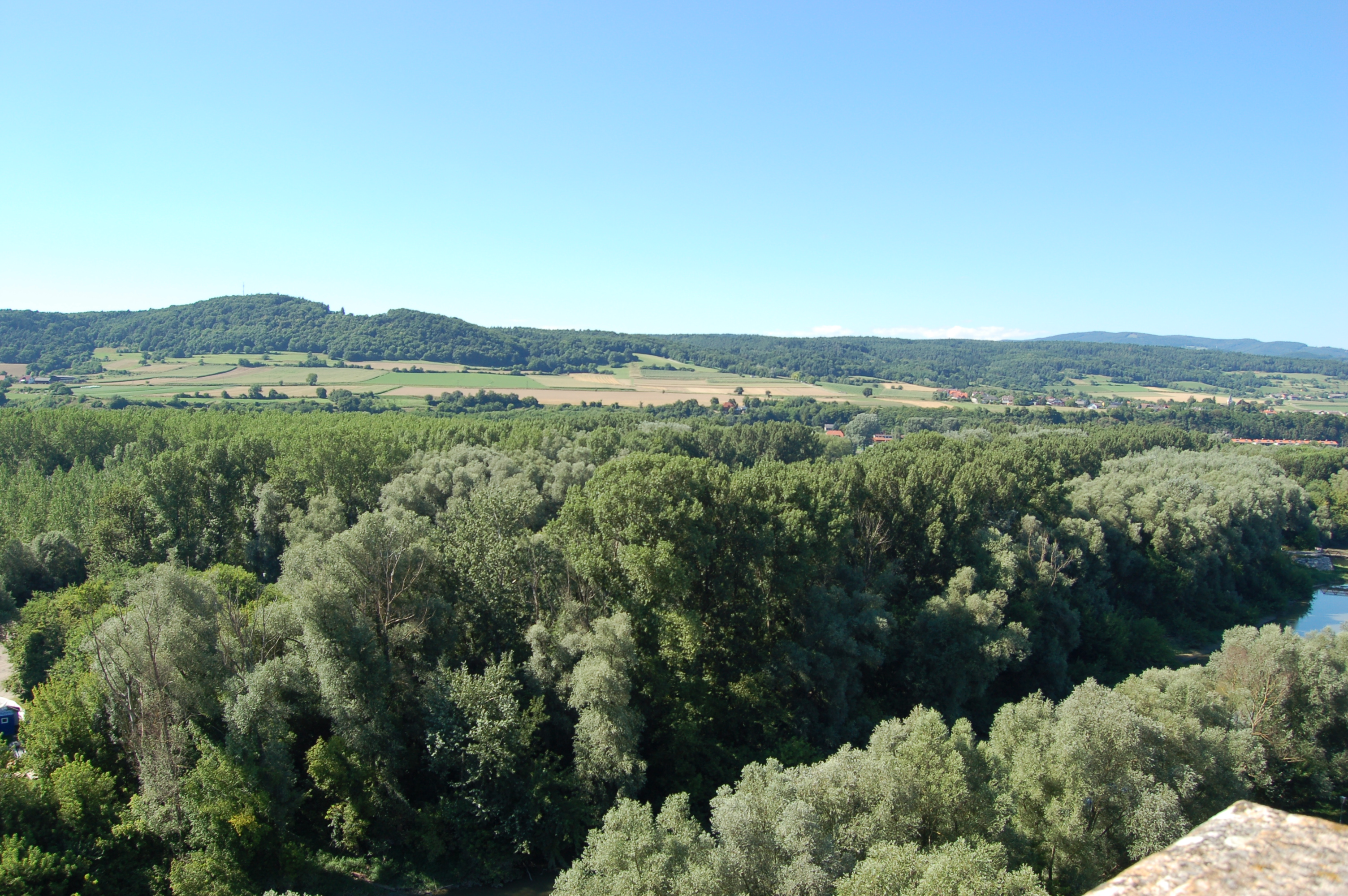
Related Photos:

Castle of Goldegg

Melk View

Abtei Melk - View of surroundings - 32

Abtei Melk - View of surroundings - 33
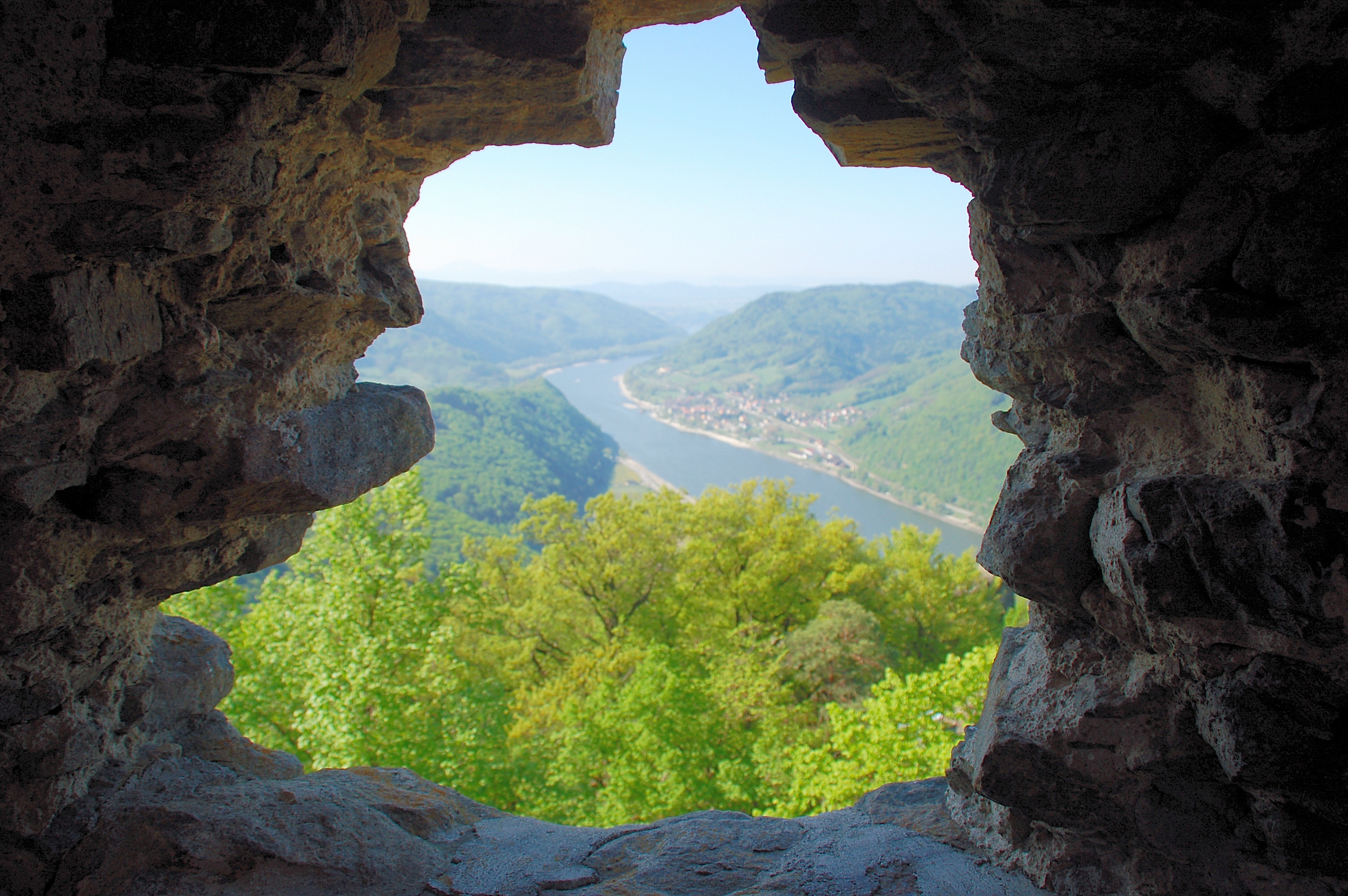
Burgruine Aggstein

20070610-170203.jpg

20070611-105823.jpg

20070611-122201.jpg
Melk Abbey Stift Melk view from P1190352
140421 Wachau bench view

20070610-170206.jpg
Abtei Melk - View of surroundings - 29

Scheck von Wald´s point of view
140421 Wachau beautiful view

20070611-114334.jpg
Melk Abbey Stift Melk view from P1190354
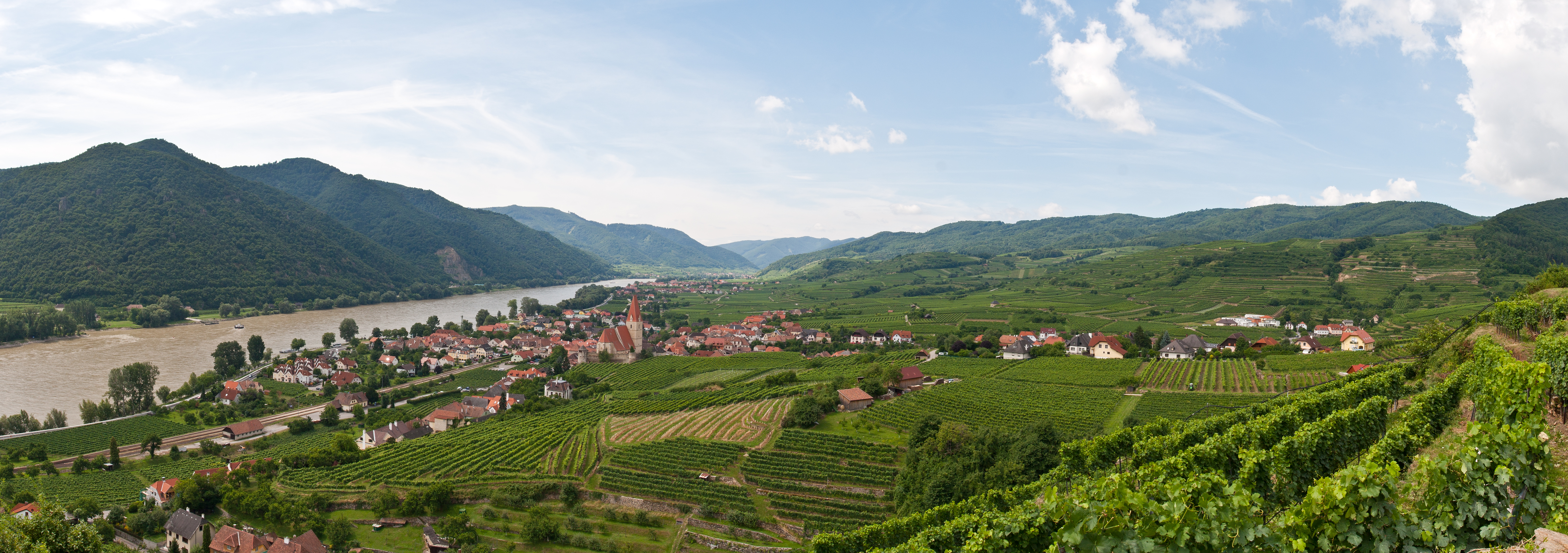
Weissenkirchen an der Donau - Panorama
Abtei Melk - View of surroundings - 13

View from the castle
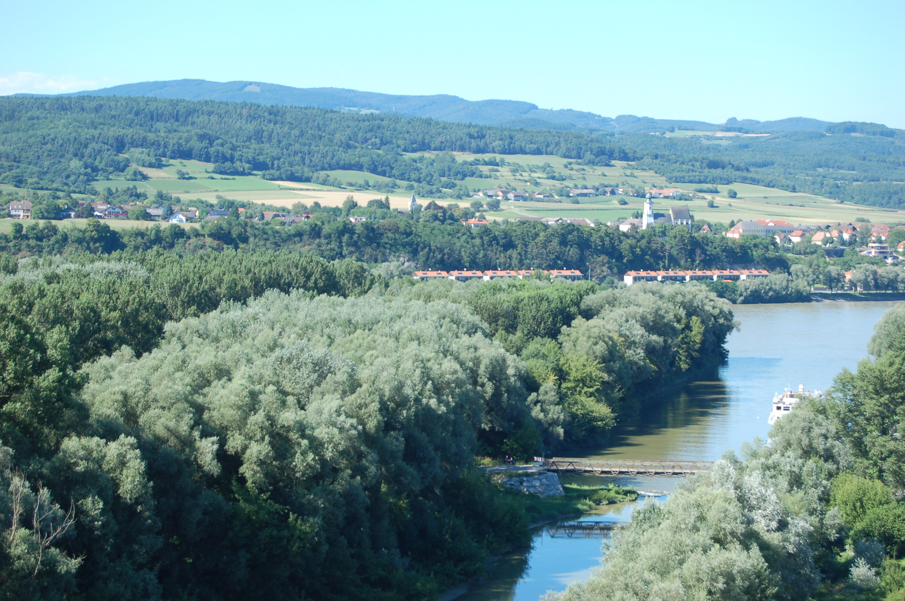
Danube River view from Bratislava
View of Melk from the abbey
Topographic Map of Aggsbach Markt, Austria
Find elevation by address:

Places near Aggsbach Markt, Austria:
Gemeinde Aggsbach
Hohenwarth 2, Hohenwarth, Austria
Heitzing
Melk
Melk District
Gemeinde Melk
Untergraben
Untergraben 2, Untergraben, Austria
Abt-berthold-dietmayr-straße 1
Landstraße 18, Roggendorf, Austria
Melkerstraße 2, Ornding, Austria
Ornding
Gemeinde Pöchlarn
Pöchlarn
Röhrapoint 8, Röhrapoint, Austria
Laas 6, Laas, Austria
Laas
Röhrapoint
Golling An Der Erlauf
Hauptstraße, Golling an der Erlauf, Austria
Recent Searches:
- Elevation of Pasing, Munich, Bavaria, 81241, Germany
- Elevation of 24, Auburn Bay Crescent SE, Auburn Bay, Calgary, Alberta, T3M 0A6, Canada
- Elevation of Denver, 2314, Arapahoe Street, Five Points, Denver, Colorado, 80205, USA
- Elevation of Community of the Beatitudes, 2924, West 43rd Avenue, Sunnyside, Denver, Colorado, 80211, USA
- Elevation map of Litang County, Sichuan, China
- Elevation map of Madoi County, Qinghai, China
- Elevation of 3314, Ohio State Route 114, Payne, Paulding County, Ohio, 45880, USA
- Elevation of Sarahills Drive, Saratoga, Santa Clara County, California, 95070, USA
- Elevation of Town of Bombay, Franklin County, New York, USA
- Elevation of 9, Convent Lane, Center Moriches, Suffolk County, New York, 11934, USA
- Elevation of Saint Angelas Convent, 9, Convent Lane, Center Moriches, Suffolk County, New York, 11934, USA
- Elevation of 131st Street Southwest, Mukilteo, Snohomish County, Washington, 98275, USA
- Elevation of 304, Harrison Road, Naples, Cumberland County, Maine, 04055, USA
- Elevation of 2362, Timber Ridge Road, Harrisburg, Cabarrus County, North Carolina, 28075, USA
- Elevation of Ridge Road, Marshalltown, Marshall County, Iowa, 50158, USA
- Elevation of 2459, Misty Shadows Drive, Pigeon Forge, Sevier County, Tennessee, 37862, USA
- Elevation of 8043, Brightwater Way, Spring Hill, Williamson County, Tennessee, 37179, USA
- Elevation of Starkweather Road, San Luis, Costilla County, Colorado, 81152, USA
- Elevation of 5277, Woodside Drive, Baton Rouge, East Baton Rouge Parish, Louisiana, 70808, USA
- Elevation of 1139, Curtin Street, Shepherd Park Plaza, Houston, Harris County, Texas, 77018, USA