Elevation of Aerodrome Way, Georgetown, CA, USA
Location: United States > California > El Dorado County > Georgetown >
Longitude: -120.86427
Latitude: 38.918816
Elevation: 798m / 2618feet
Barometric Pressure: 92KPa
Elevation Map:
Satellite Map:
Related Photos:
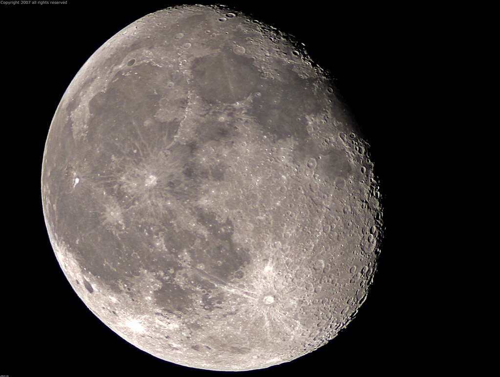
Full Sized Moon and Story 6479

Stalked by a Mountain Lion

Couple-2059
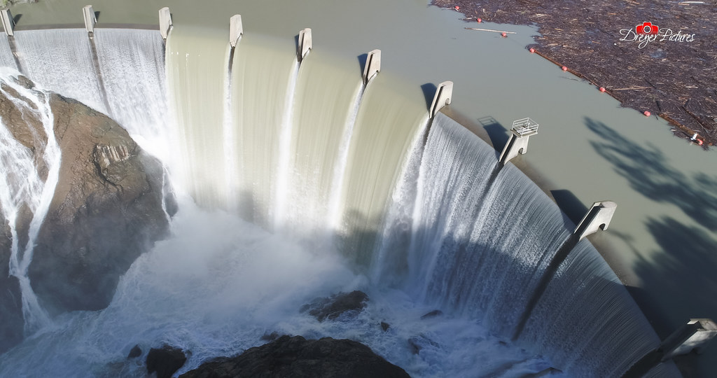
Clementine Dam - California
Before the Rain

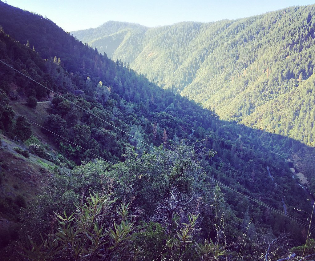
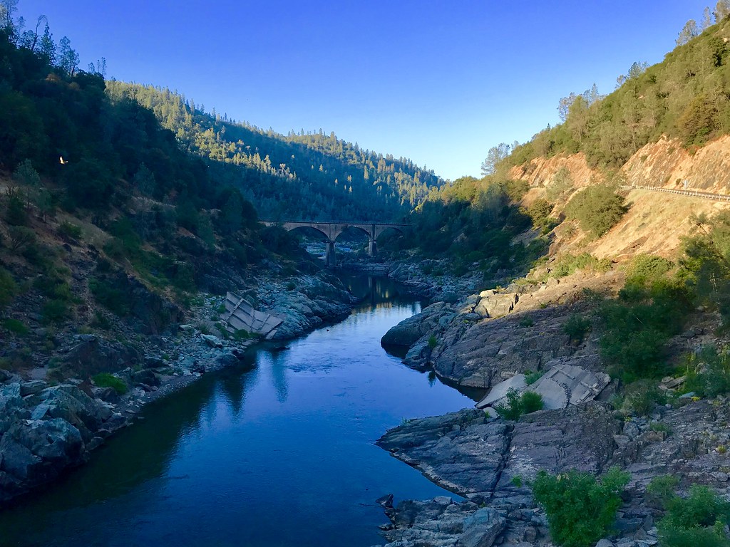
North Fork American River
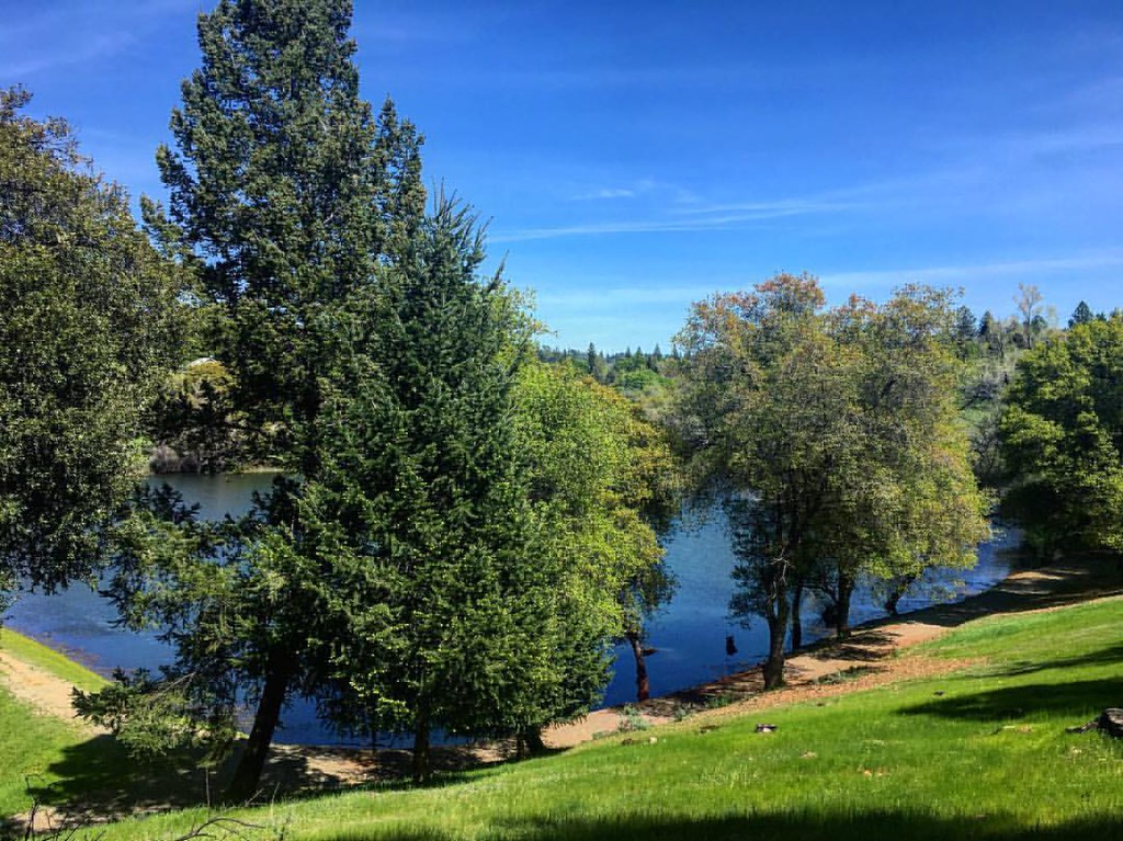
Green. Blue. Good book. Good view. Perfect weather. #california #sunshine #view #peace #quiet
View towards east abutment
Summer Insanity 2737
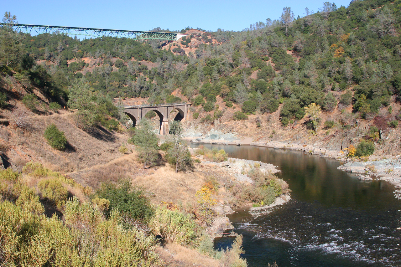
Two Famous Bridges 0935
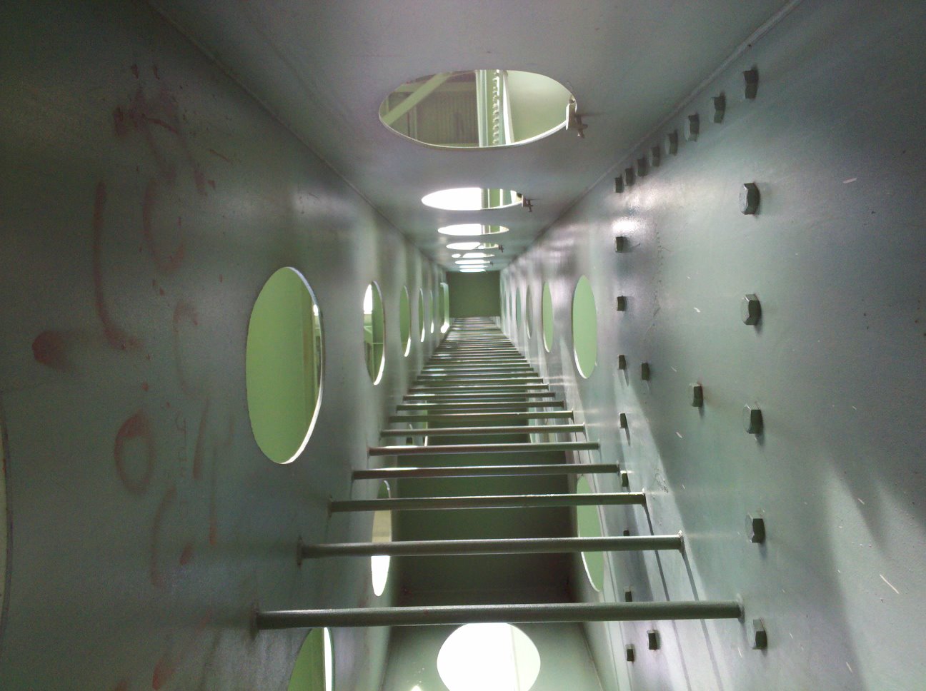
view up ladder

The view from Foresthill
View from almost the top of Ralston Ridge
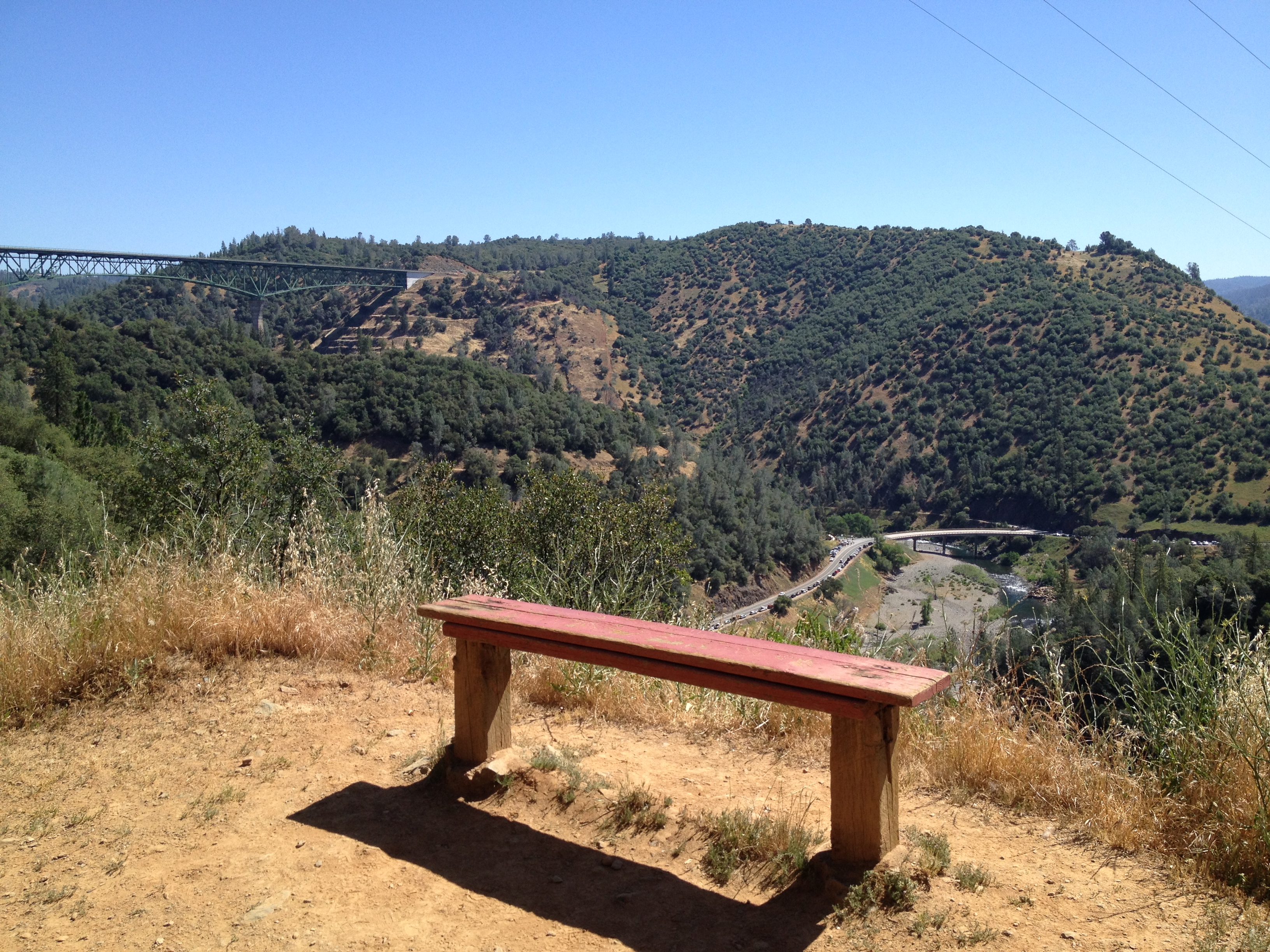
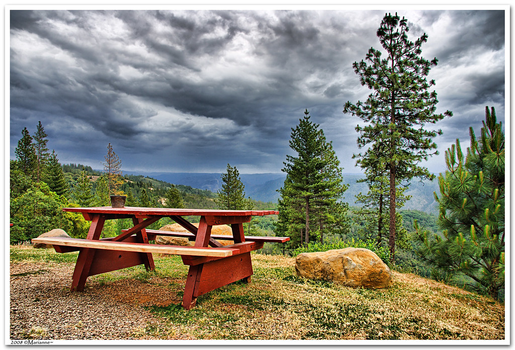
Bench with a View, Stagecoach Trail 2014
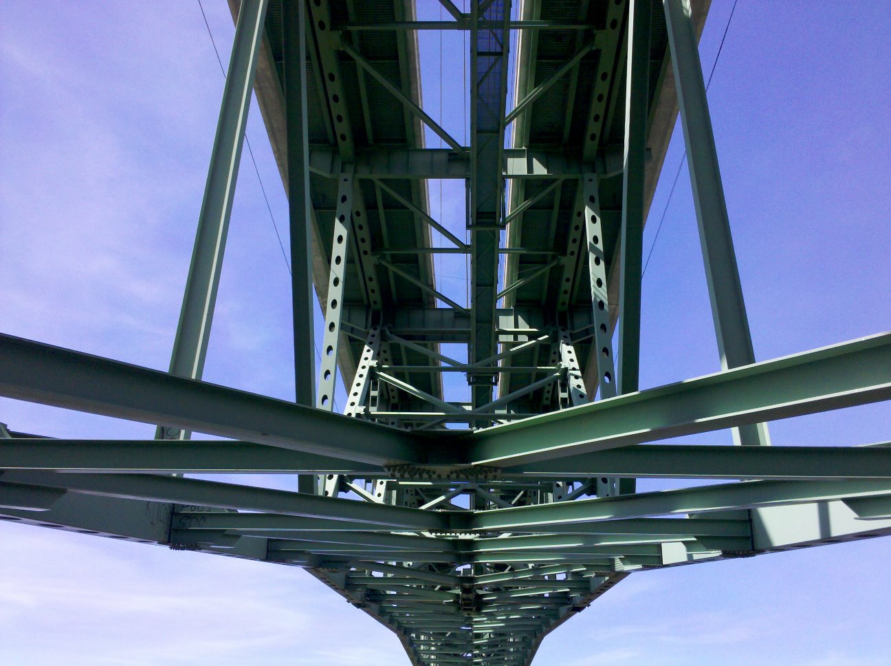
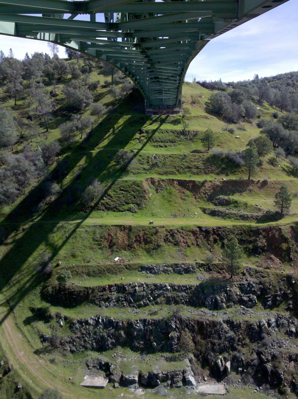
Bridge Structure
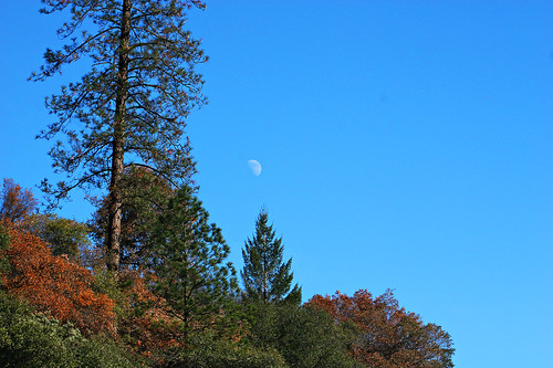
Midday Moon 1786
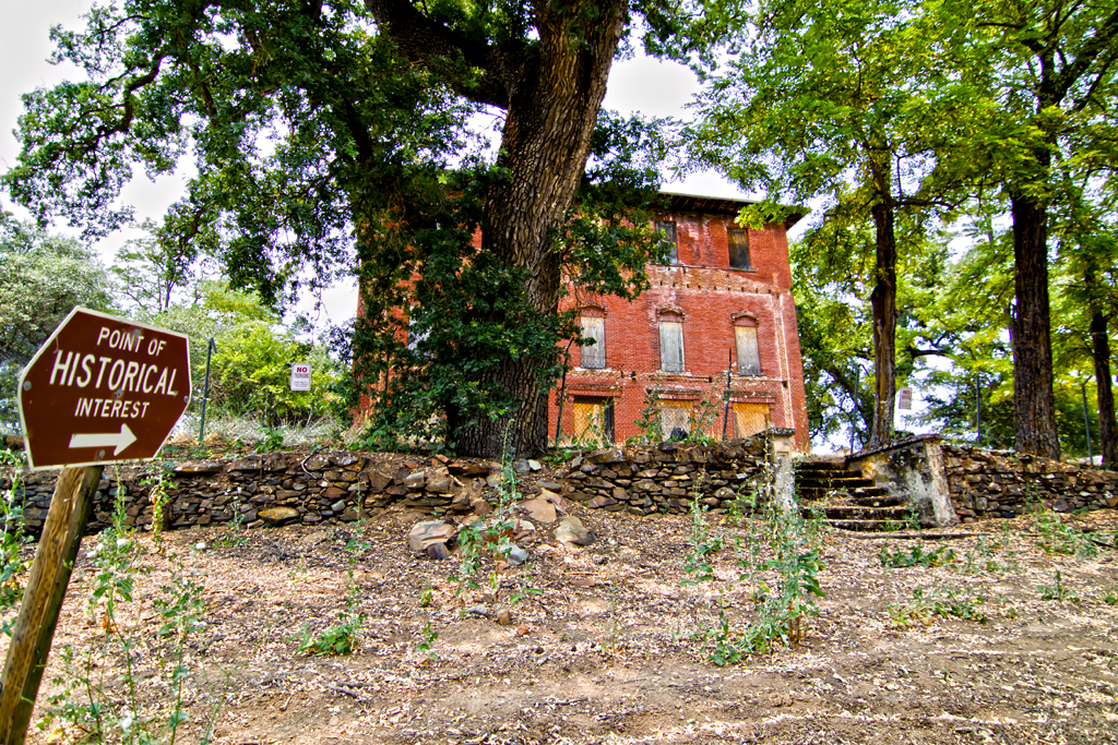
The Old Bayley House 2674
Forest Hill Bridge2645
Cool Cave Diggins
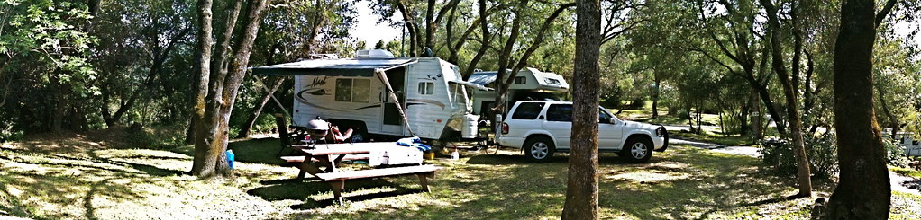
RV Camping..
Cronan Ranch House view out
North Fork Photo Op

moss and mist

American River Confluence
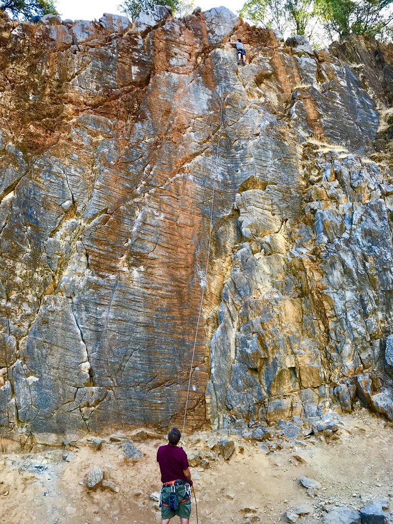
Auburn Climbing

Yankee Jim's Waterfall
Sometimes you get off the bike and take a hike around the lake... #lakeview #california #perfectday #hiking #trails #homestate #hearthealth #cardio #hikecalifornia #sunshine #peace #quiet #reflection

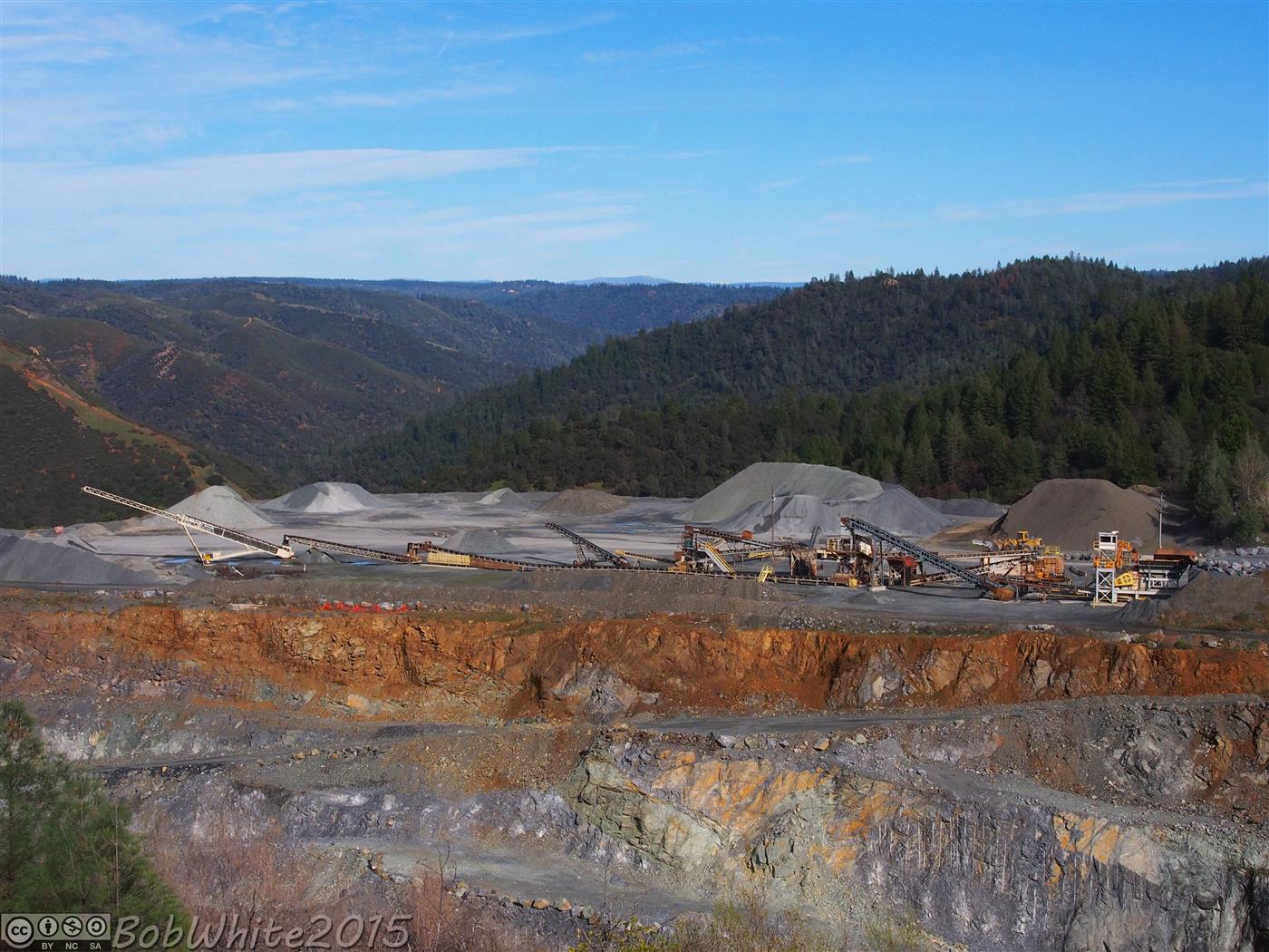
Cool Quarry

Falling Away
Forresthill Bridge

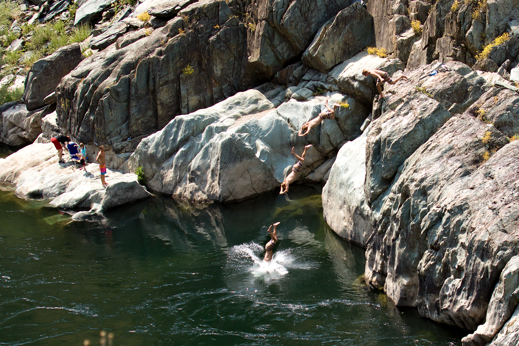
Clark's Hole

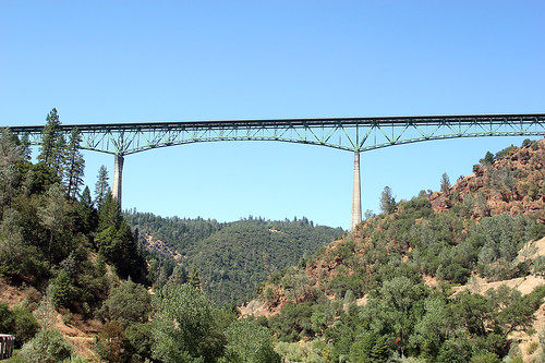
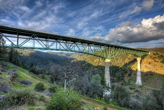
Foresthill Bridge
Morning on the American
On Belay

Mirror Image
Forty Acres and a Mule
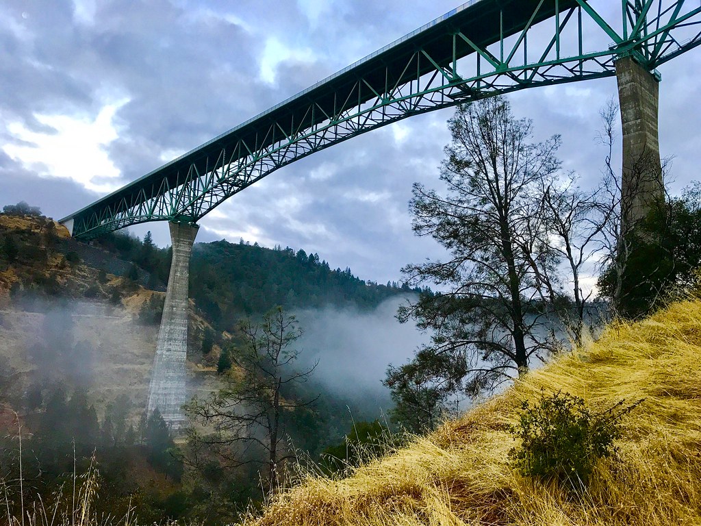
Foresthill Bridge
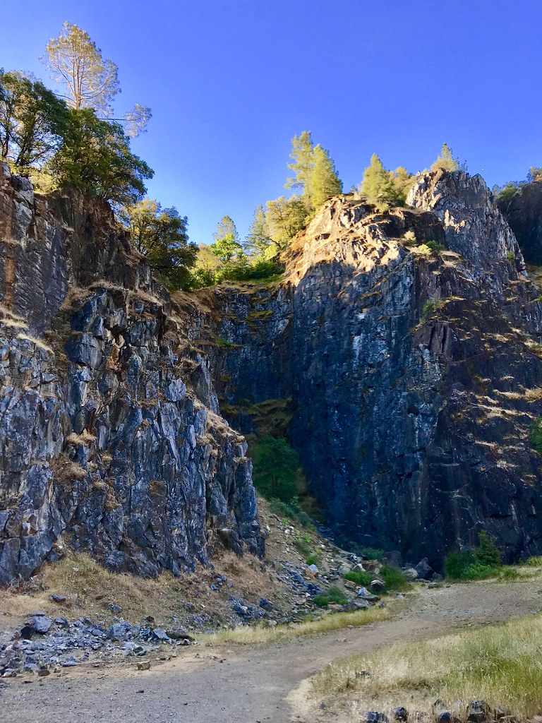
The Quarry
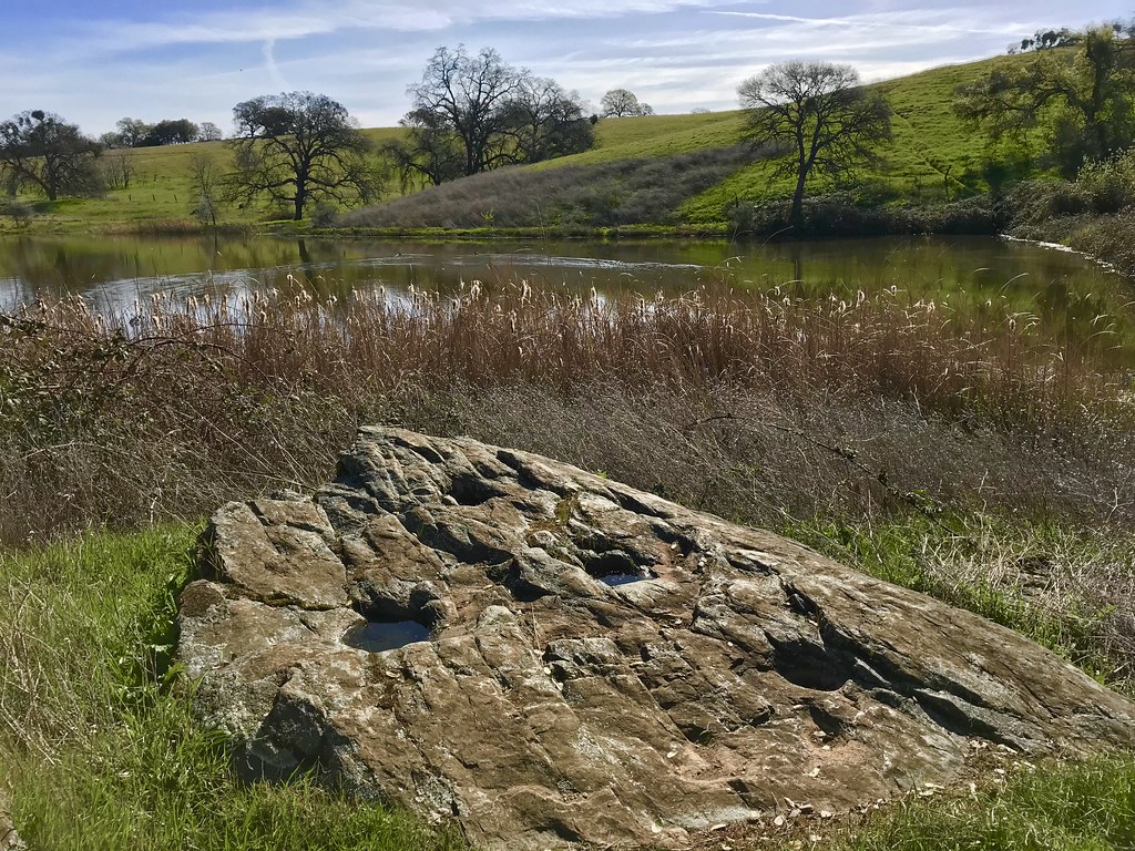
Grinding Rock
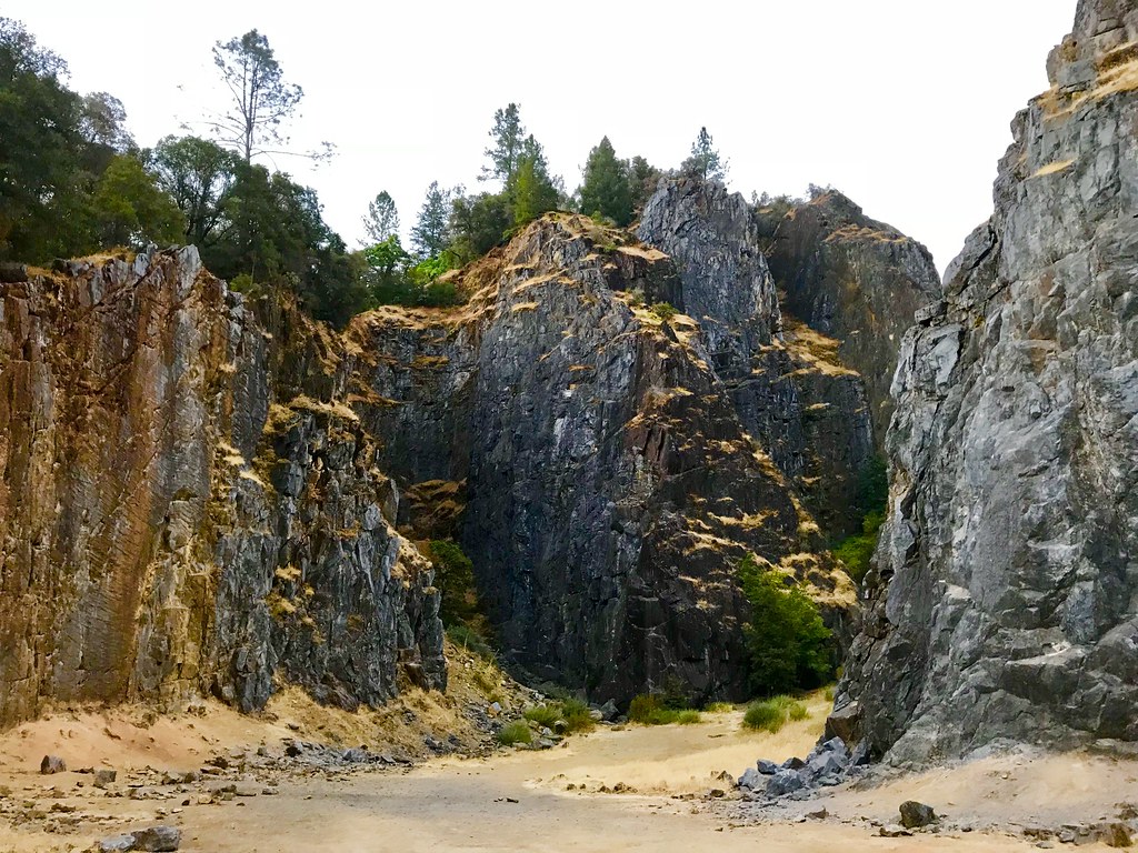
Quarry Climbing Area
Topographic Map of Aerodrome Way, Georgetown, CA, USA
Find elevation by address:

Places near Aerodrome Way, Georgetown, CA, USA:
2681 Buffalo Hill Rd
3031 Lasita Pl
CA-, Georgetown, CA, USA
3040 Rolling Hills Dr
3020 Rolling Hills Dr
Rolling Hills Drive
5225 Ca-193
6000 Lower Main St
4046 Empire Creek Cir
Jeepers Jamboree
Georgetown
Main Street
4541 Mont Eaton Mine Rd
2731 Harkness St
3950 Jacobus Dr
4411 Ca-193
5370 Caprine Rd
4000 Marshall Rd
3181 Hanson Hollow Rd
3611 Dagget Ct
Recent Searches:
- Elevation of Corso Fratelli Cairoli, 35, Macerata MC, Italy
- Elevation of Tallevast Rd, Sarasota, FL, USA
- Elevation of 4th St E, Sonoma, CA, USA
- Elevation of Black Hollow Rd, Pennsdale, PA, USA
- Elevation of Oakland Ave, Williamsport, PA, USA
- Elevation of Pedrógão Grande, Portugal
- Elevation of Klee Dr, Martinsburg, WV, USA
- Elevation of Via Roma, Pieranica CR, Italy
- Elevation of Tavkvetili Mountain, Georgia
- Elevation of Hartfords Bluff Cir, Mt Pleasant, SC, USA