Elevation of Addis Zemen, Ethiopia
Location: Ethiopia > Amhara > South Gonder >
Longitude: 37.7795618
Latitude: 12.1235658
Elevation: 1940m / 6365feet
Barometric Pressure: 80KPa
Elevation Map:
Satellite Map:
Related Photos:
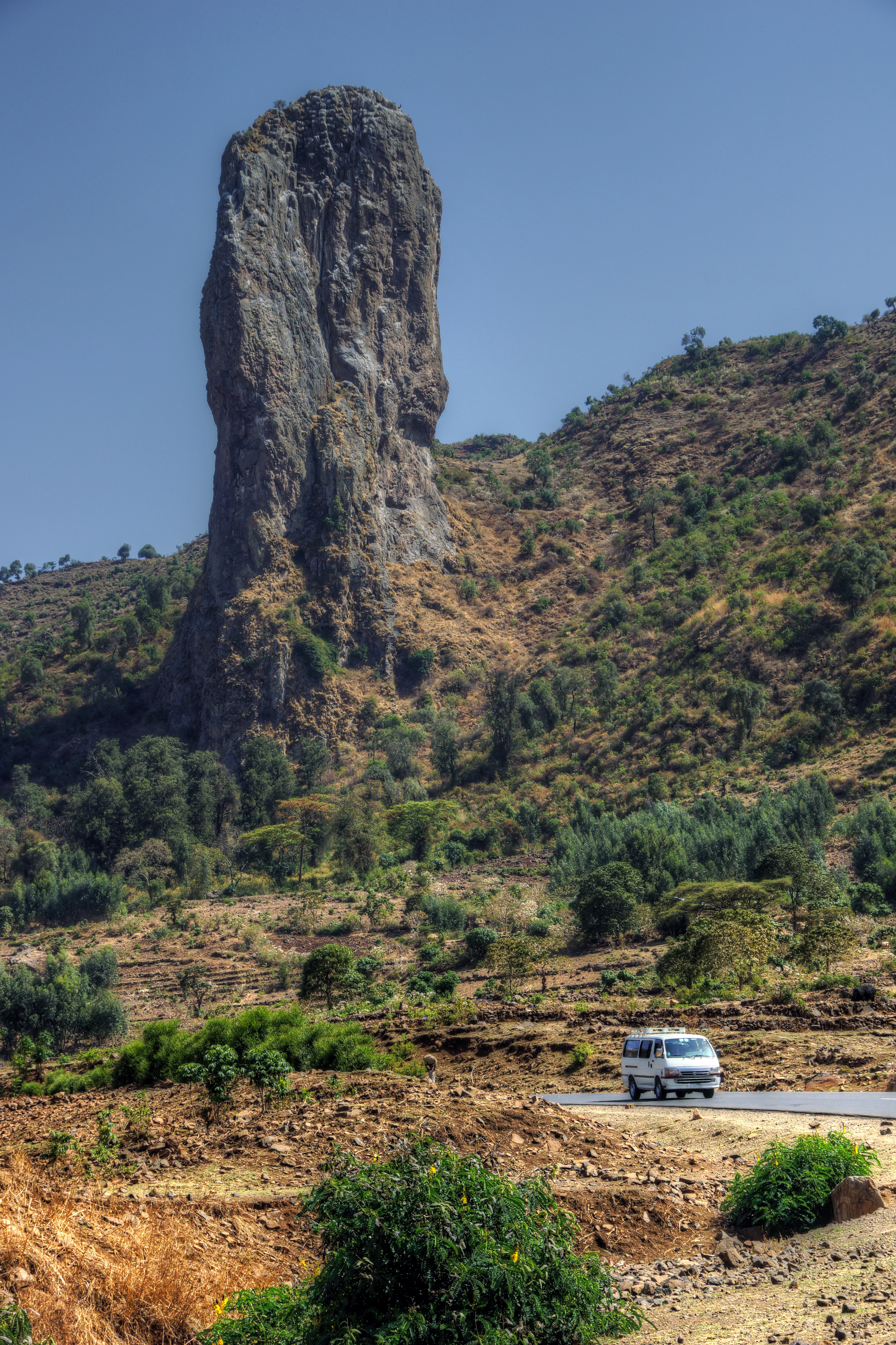
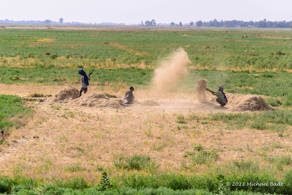
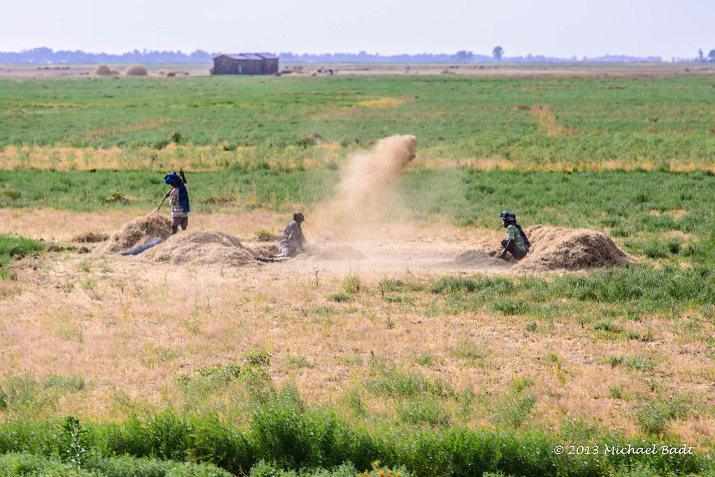
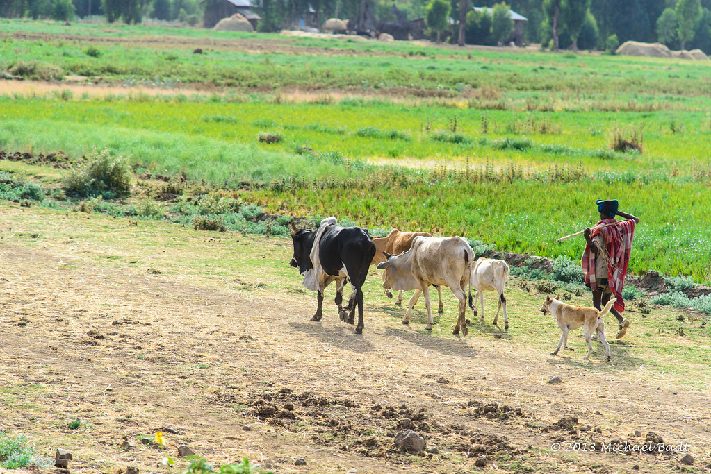
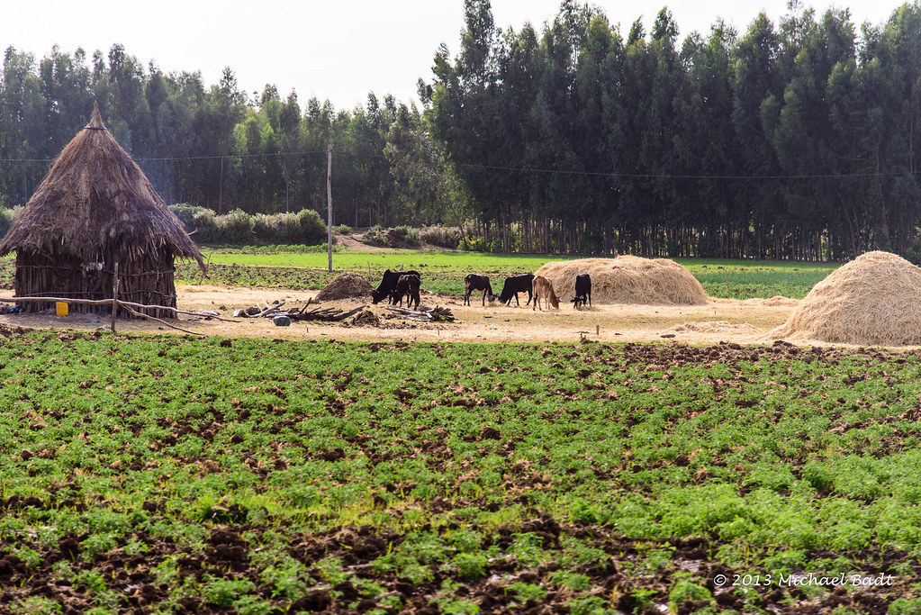
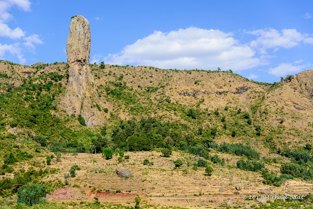
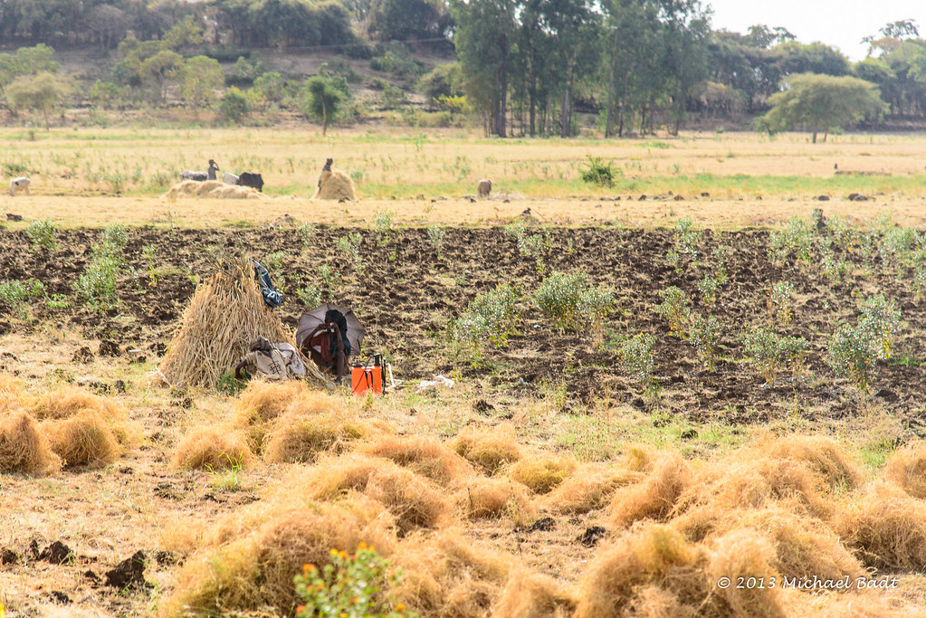
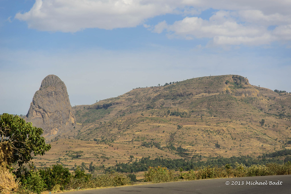
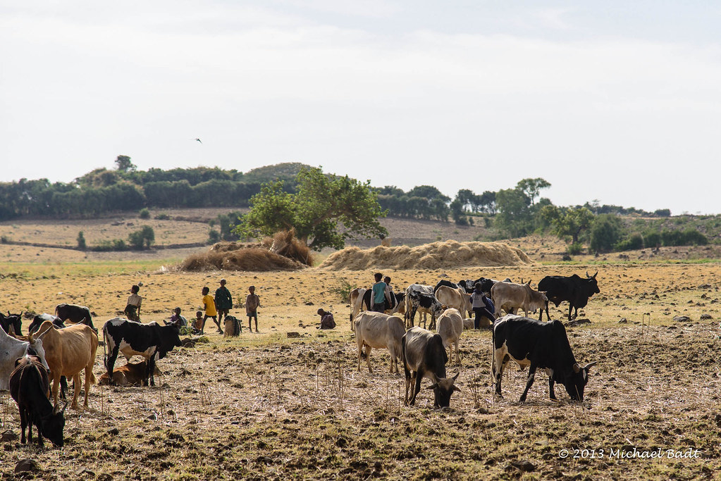
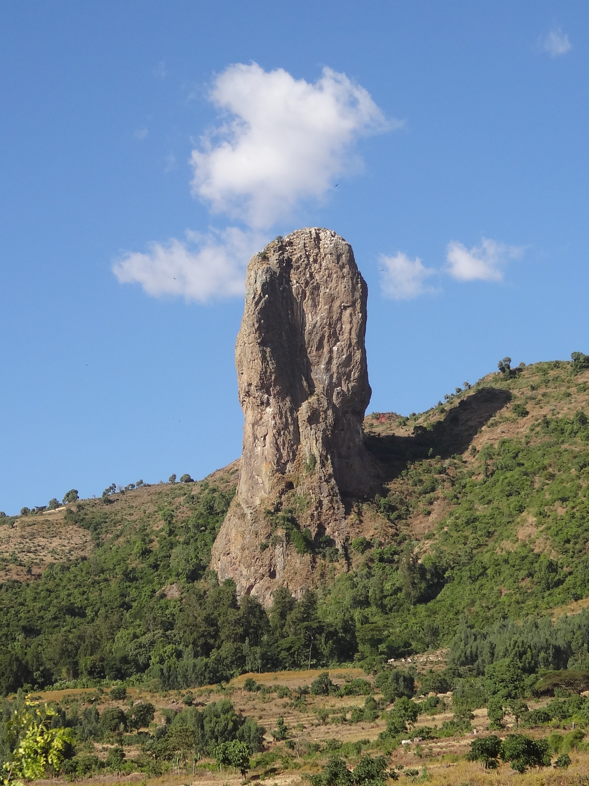
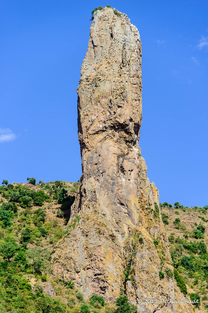
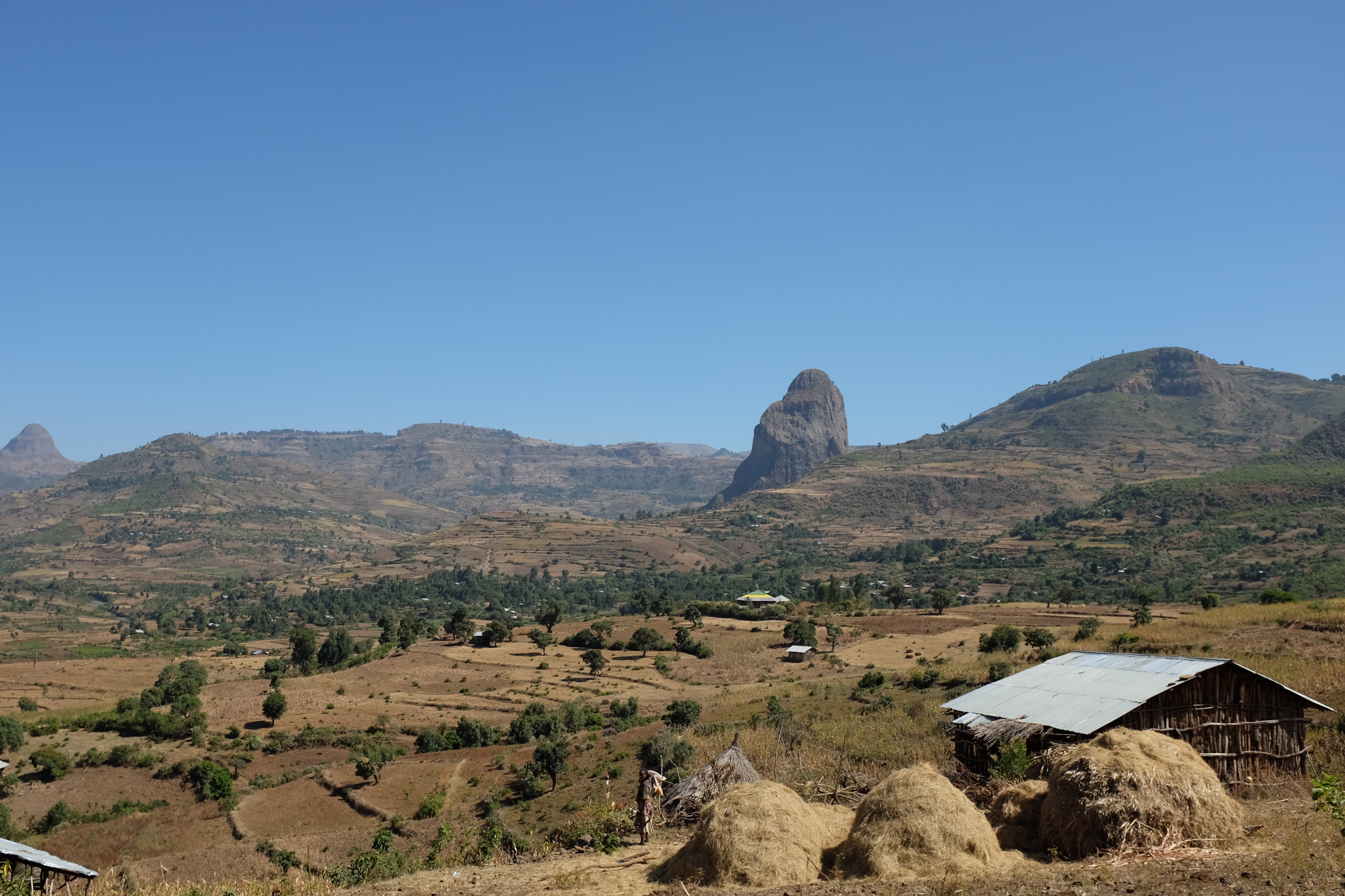
ethiopian landscape
ETP-5016-20130123.jpg
ETP-5015-20130123.jpg
ETP-5013-20130123.jpg
ETP-5018-20130123.jpg
ETP-4942-20130123.jpg
ETP-5002-20130123.jpg
ETP-4921-20130123.jpg
ETP-5003-20130123.jpg
ETP-4930-20130123.jpg
ETP-4998-20130123.jpg

ETP-4997-20130123.jpg
2012.12.07 DSC87 - ET
ETP-4948-20130123.jpg
ETP-4947-20130123.jpg
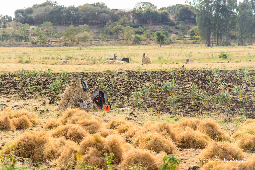
A Stop Along the Road (Gondar)

ETP-5005-20130123.jpg
ETP-4965-20130123.jpg
ETP-4943-20130123.jpg
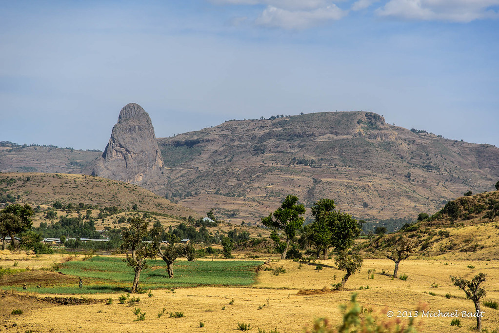
Ethiopian Landscape III

ETP-4945-20130123.jpg
Topographic Map of Addis Zemen, Ethiopia
Find elevation by address:

Places near Addis Zemen, Ethiopia:
Yifag
Wereta
Fogera
Hamusit
Anbesame
Lake Tana
Gondar City Hall
Gondar
Fasilides' Bath
Kusquam
Bahir Dar
Dechu Mara
North Gondar
Recent Searches:
- Elevation of Corso Fratelli Cairoli, 35, Macerata MC, Italy
- Elevation of Tallevast Rd, Sarasota, FL, USA
- Elevation of 4th St E, Sonoma, CA, USA
- Elevation of Black Hollow Rd, Pennsdale, PA, USA
- Elevation of Oakland Ave, Williamsport, PA, USA
- Elevation of Pedrógão Grande, Portugal
- Elevation of Klee Dr, Martinsburg, WV, USA
- Elevation of Via Roma, Pieranica CR, Italy
- Elevation of Tavkvetili Mountain, Georgia
- Elevation of Hartfords Bluff Cir, Mt Pleasant, SC, USA