Elevation of Abbeville County, SC, USA
Location: United States > South Carolina >
Longitude: -82.475275
Latitude: 34.1891221
Elevation: 171m / 561feet
Barometric Pressure: 99KPa
Elevation Map:
Satellite Map:
Related Photos:
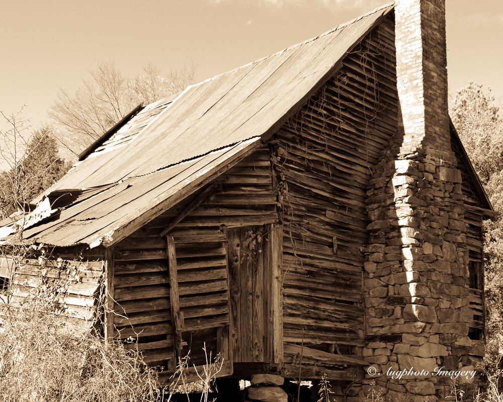
Back View

Dangling 1

Dangling 2

Abbey's Alley
Abbeyville, SC 2007
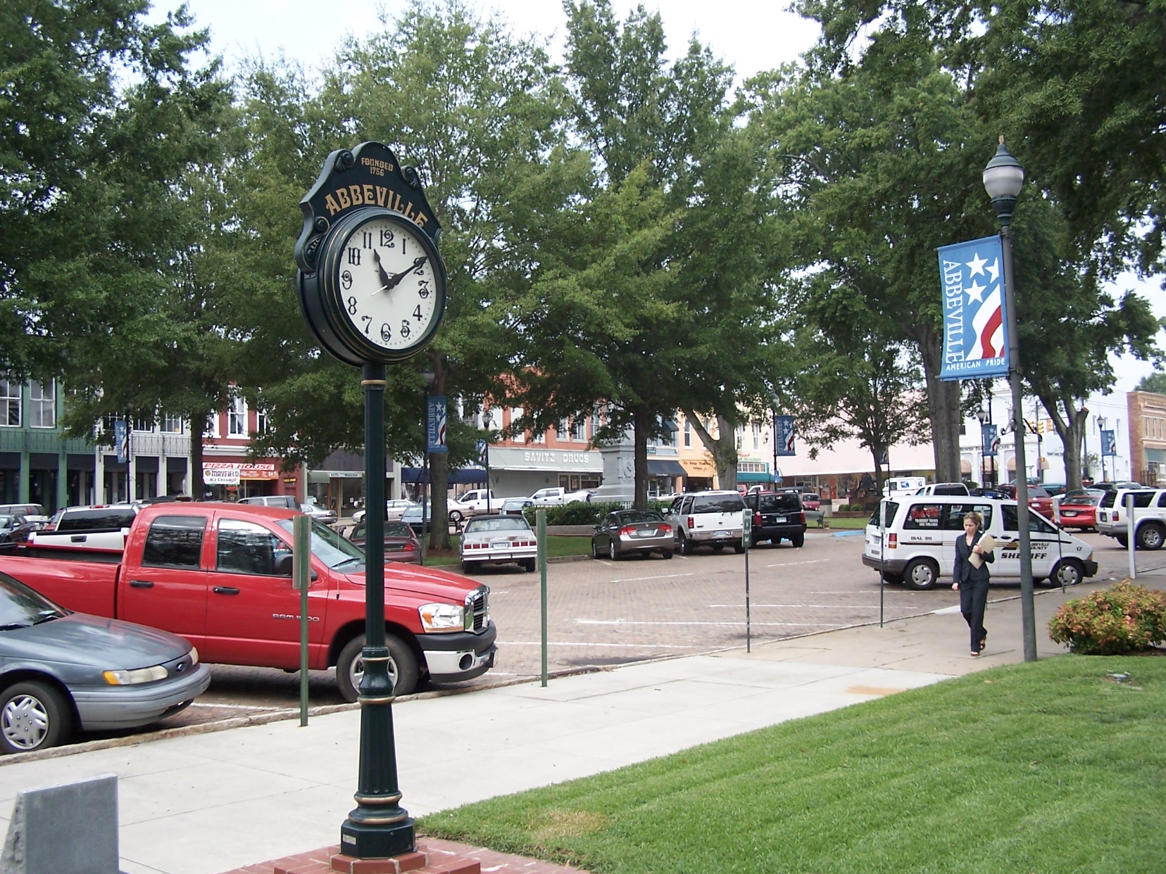
Abbeville Square - View from the Opera House

Sunset, clouds, phone lines n bugs.
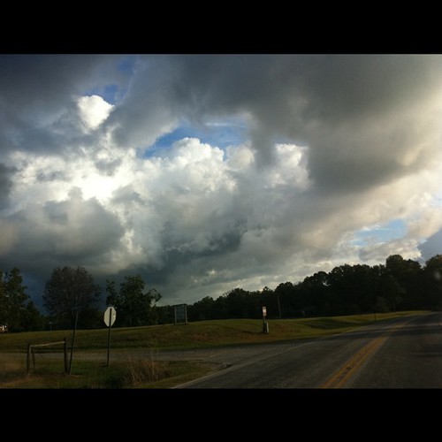
Some magnificent stormclouds on my drive this morning. Ever-changing.

100_2263.JPG

100_2264.JPG
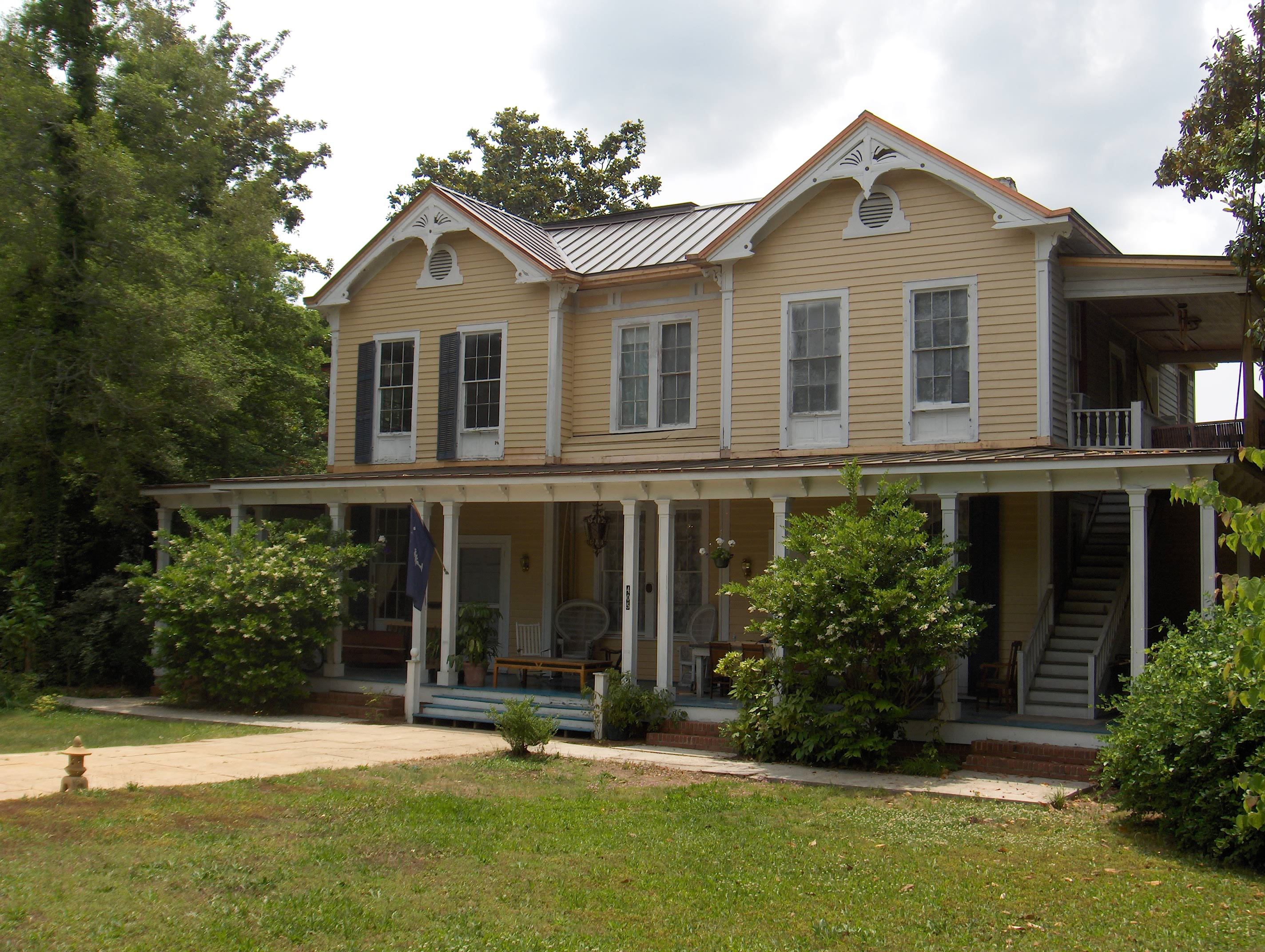
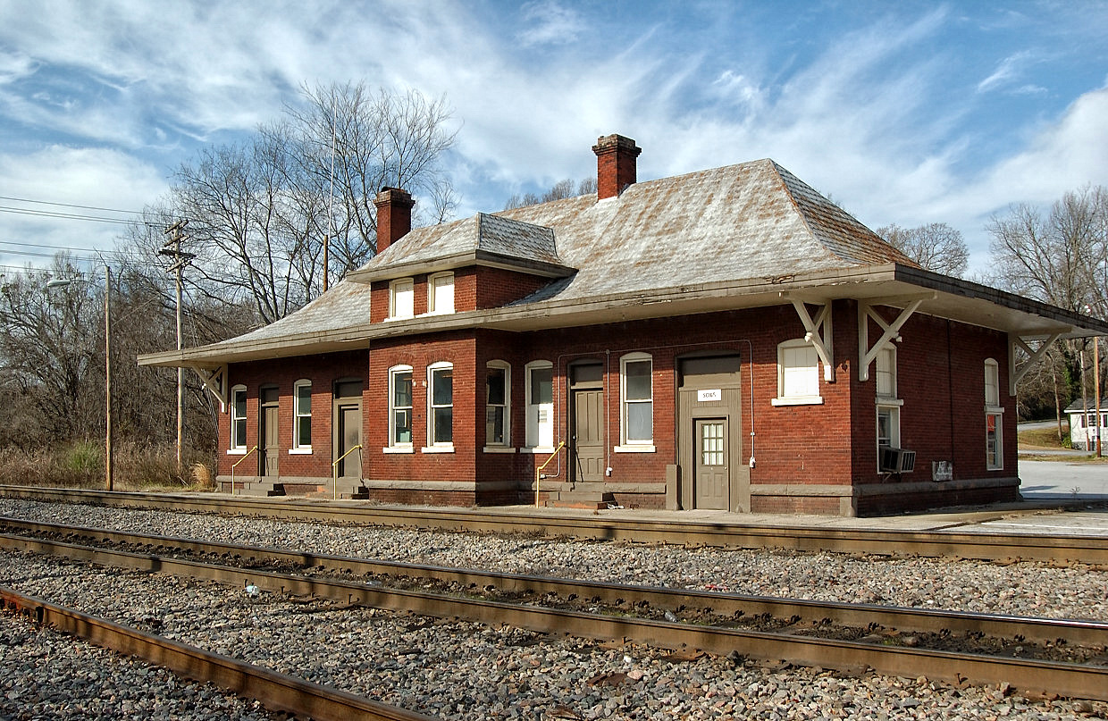
751 Smith Visanska House Img_3924
Parson's Lake
Before.
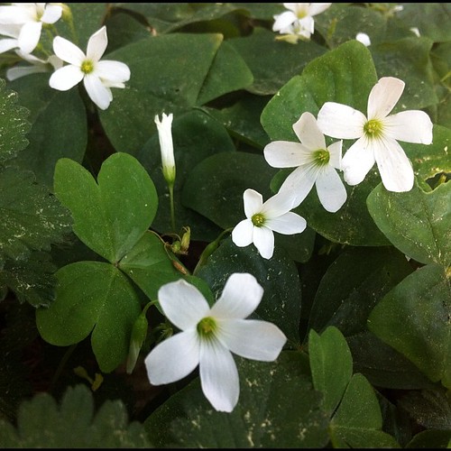
Oxalis blooming cheerfully. Happy St Patrick's Day!

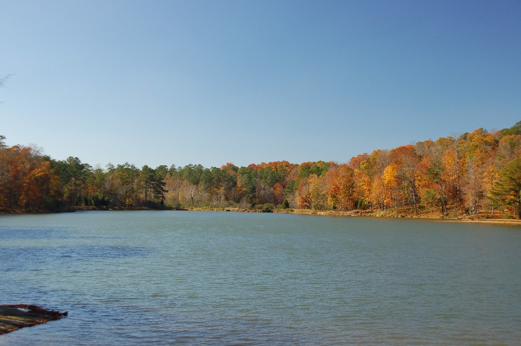
Lake Russell, South Carolina
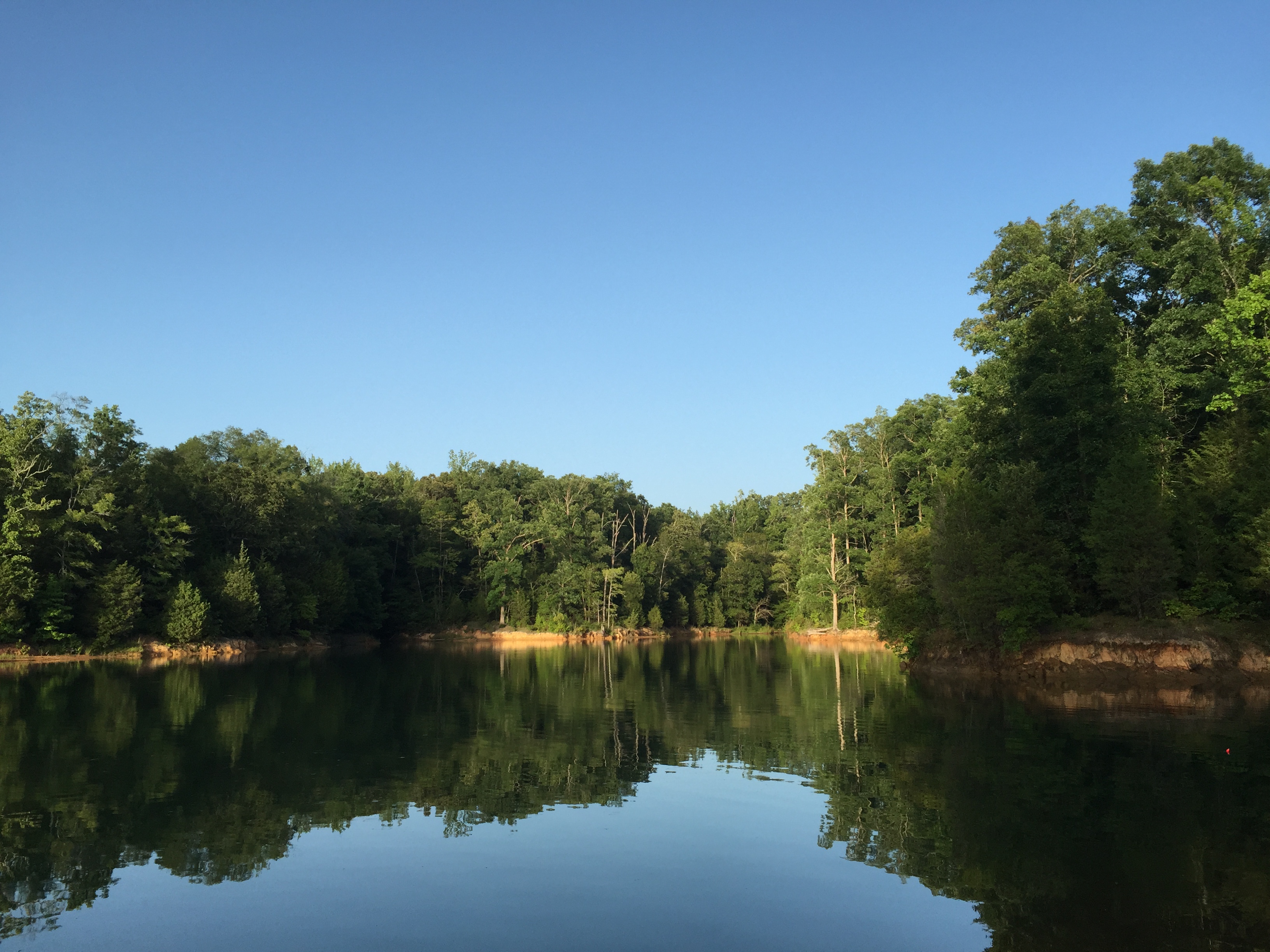
Lake Russell, South Carolina
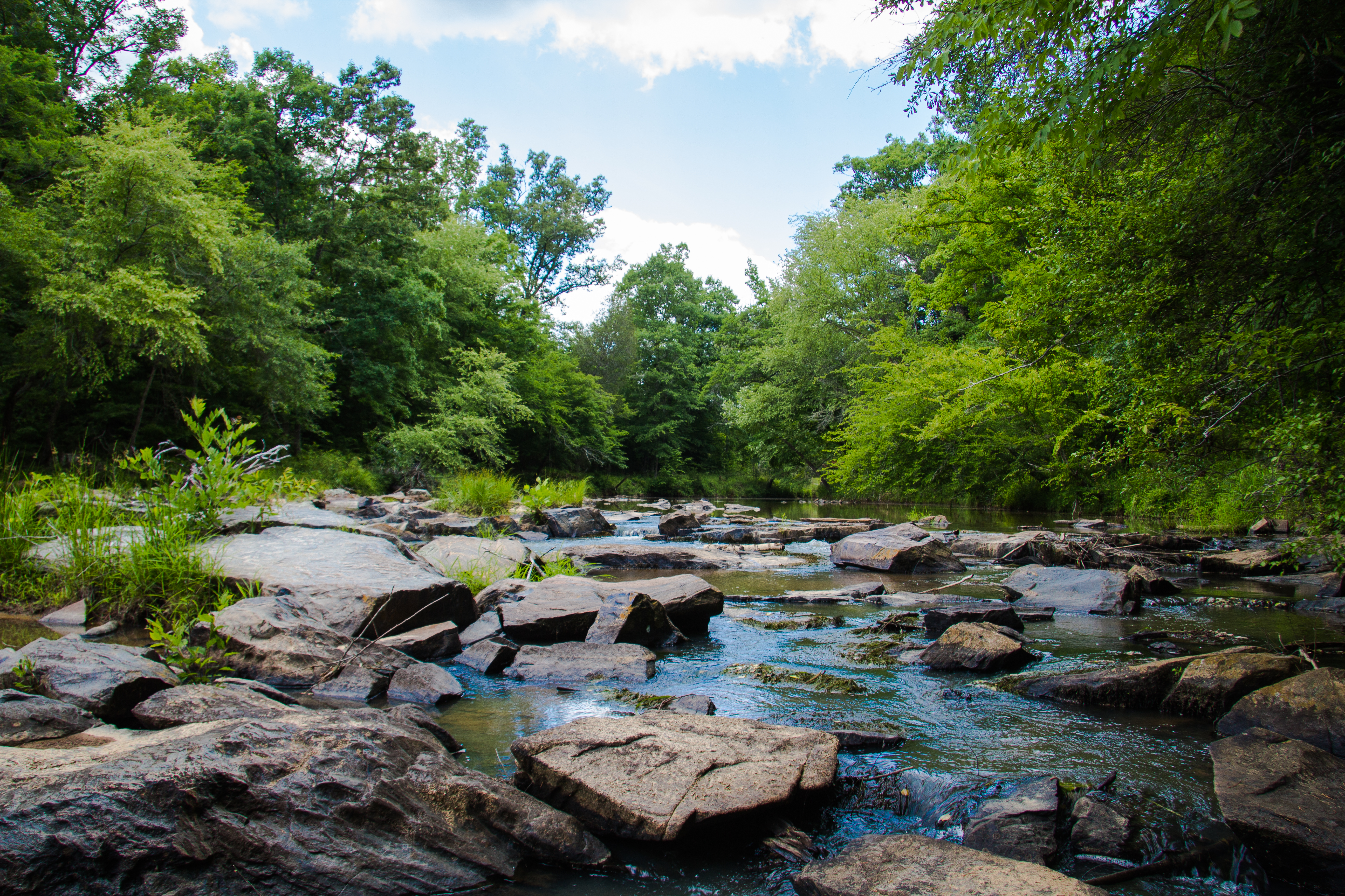
Long Cane Creek
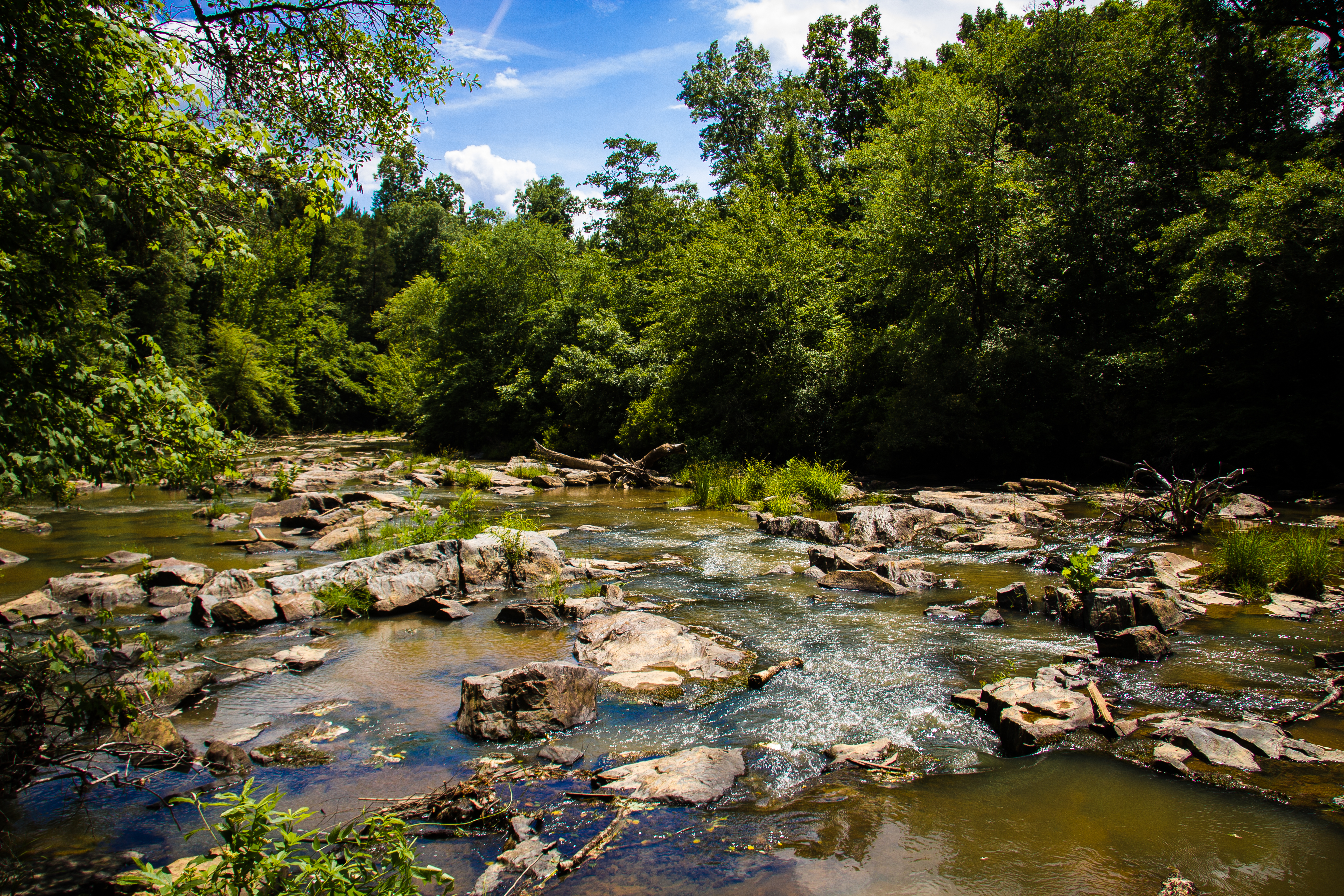
Long Cane Creek
Topographic Map of Abbeville County, SC, USA
Find elevation by address:

Places in Abbeville County, SC, USA:
Places near Abbeville County, SC, USA:
1102 N Main St
92 Union Church Rd
316 County Rd S-1-163
Abbeville
450 Fire Tower Rd
5273 Old Calhoun Falls Rd
495 Fire Tower Rd
5723 Old Calhoun Falls Rd
228 Faith Ln
SC-81, Calhoun Falls, SC, USA
SC-28, Iva, SC, USA
1780 Stevenson Rd
County Road S-1-901
622 E Savannah St
119 Ideal Point
Calhoun Falls
Old Hodges Rd, Abbeville, SC, USA
Due West
460 Lake Secession Rd
Candy Branch Shooting Range
Recent Searches:
- Elevation of Corso Fratelli Cairoli, 35, Macerata MC, Italy
- Elevation of Tallevast Rd, Sarasota, FL, USA
- Elevation of 4th St E, Sonoma, CA, USA
- Elevation of Black Hollow Rd, Pennsdale, PA, USA
- Elevation of Oakland Ave, Williamsport, PA, USA
- Elevation of Pedrógão Grande, Portugal
- Elevation of Klee Dr, Martinsburg, WV, USA
- Elevation of Via Roma, Pieranica CR, Italy
- Elevation of Tavkvetili Mountain, Georgia
- Elevation of Hartfords Bluff Cir, Mt Pleasant, SC, USA