Elevation of Aérodrome de Gap - Tallard, Maison de l'air, Tallard, France
Location: France > Provence-alpes-côte D'azur > Hautes-alpes > Tallard >
Longitude: 6.034133
Latitude: 44.454997
Elevation: 600m / 1968feet
Barometric Pressure: 94KPa
Elevation Map:
Satellite Map:
Related Photos:
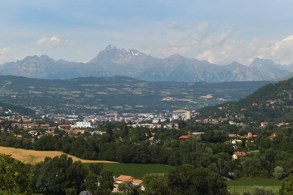
Route Napoléon [N85] - Gap (France)
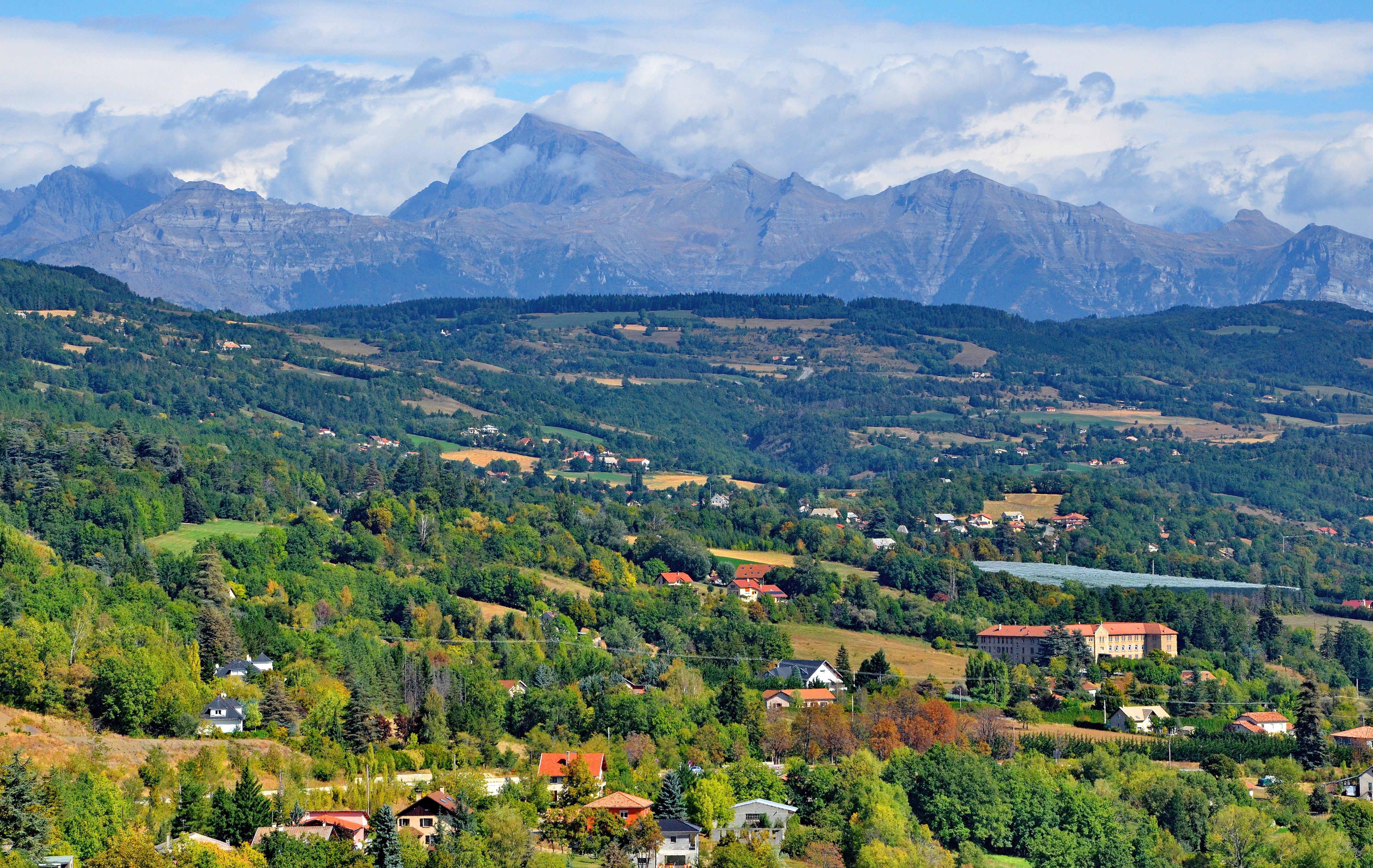
Leaving the mountains behind

Morning view
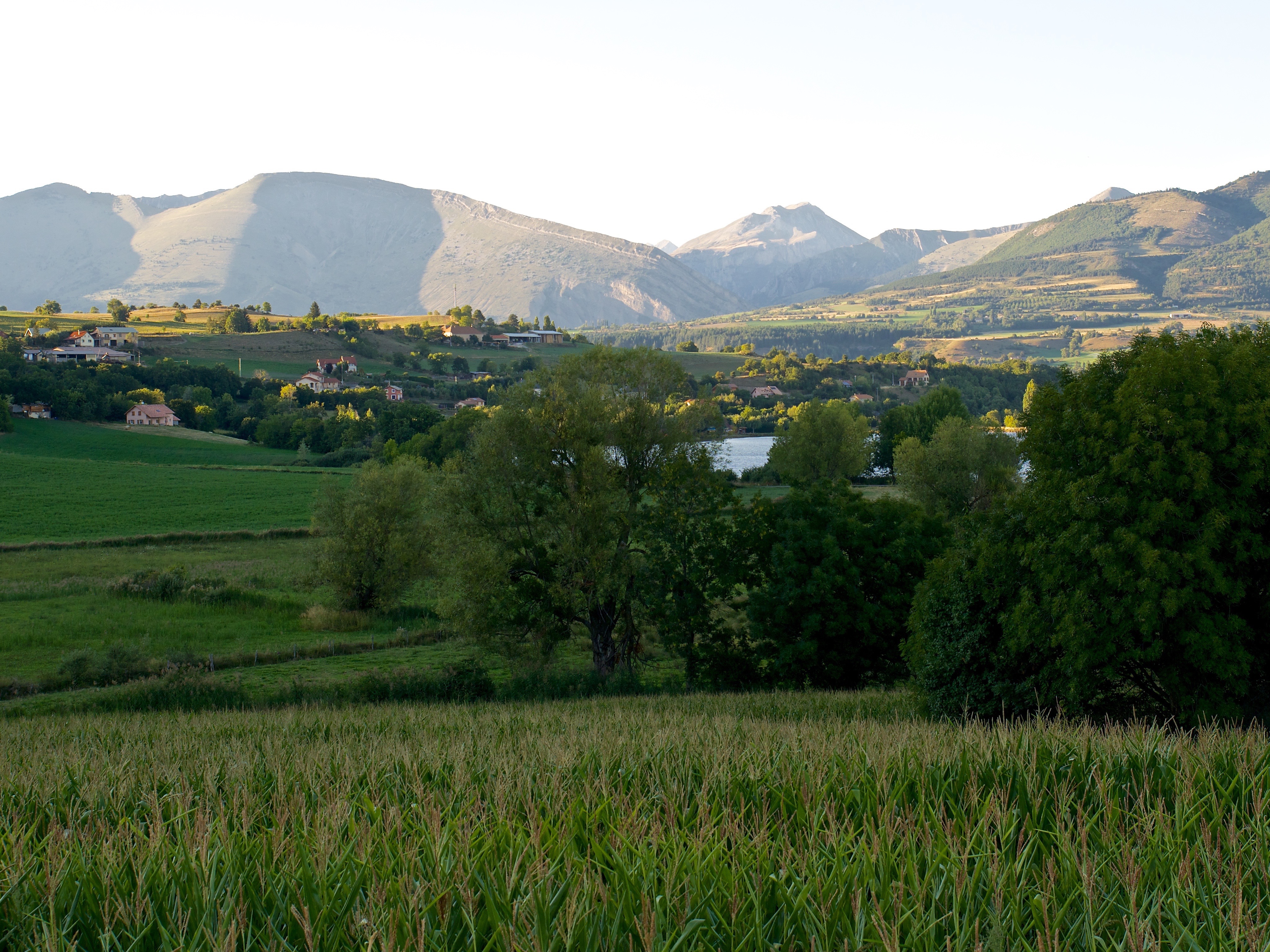
Mountains, lake, and field
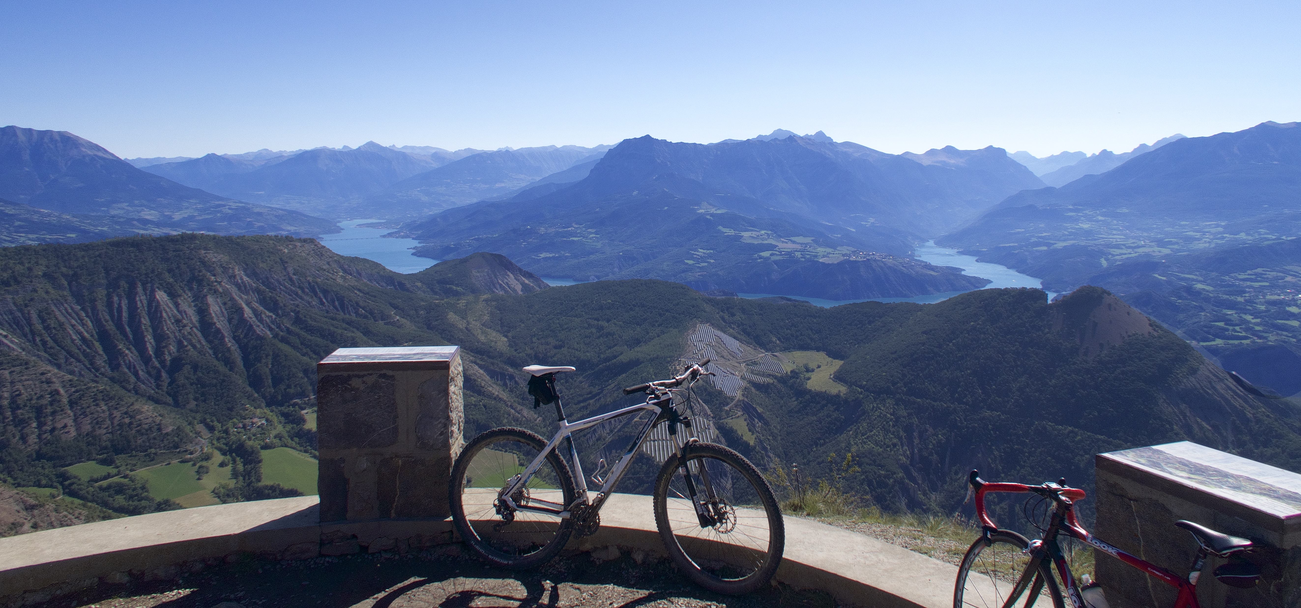
View from Mont Colombis

View from the log cabin

A siesta with a view
Topographic Map of Aérodrome de Gap - Tallard, Maison de l'air, Tallard, France
Find elevation by address:

Places near Aérodrome de Gap - Tallard, Maison de l'air, Tallard, France:
Tallard
La Freissinouse
Saint-André, La Freissinouse, France
Gap
Notre Dame Du Laus
Saint-Étienne-le-laus
Laye
Veynes
Gare Sncf De Veynes
Rue Marcel Pagnol, Veynes, France
Chorges
Mison
Sisteron
Pic Queyrel
La Motte-en-champsaur
Barres De Chine
Le Cuchon
Les Parias
Salignac
6 Le Mardaric, Salignac, France
Recent Searches:
- Elevation of Corso Fratelli Cairoli, 35, Macerata MC, Italy
- Elevation of Tallevast Rd, Sarasota, FL, USA
- Elevation of 4th St E, Sonoma, CA, USA
- Elevation of Black Hollow Rd, Pennsdale, PA, USA
- Elevation of Oakland Ave, Williamsport, PA, USA
- Elevation of Pedrógão Grande, Portugal
- Elevation of Klee Dr, Martinsburg, WV, USA
- Elevation of Via Roma, Pieranica CR, Italy
- Elevation of Tavkvetili Mountain, Georgia
- Elevation of Hartfords Bluff Cir, Mt Pleasant, SC, USA