Elevation of - Buckey Ln, Columbia, LA, USA
Location: United States > Louisiana > Caldwell Parish > >
Longitude: -92.264469
Latitude: 32.231501
Elevation: 62m / 203feet
Barometric Pressure: 101KPa
Elevation Map:
Satellite Map:
Related Photos:
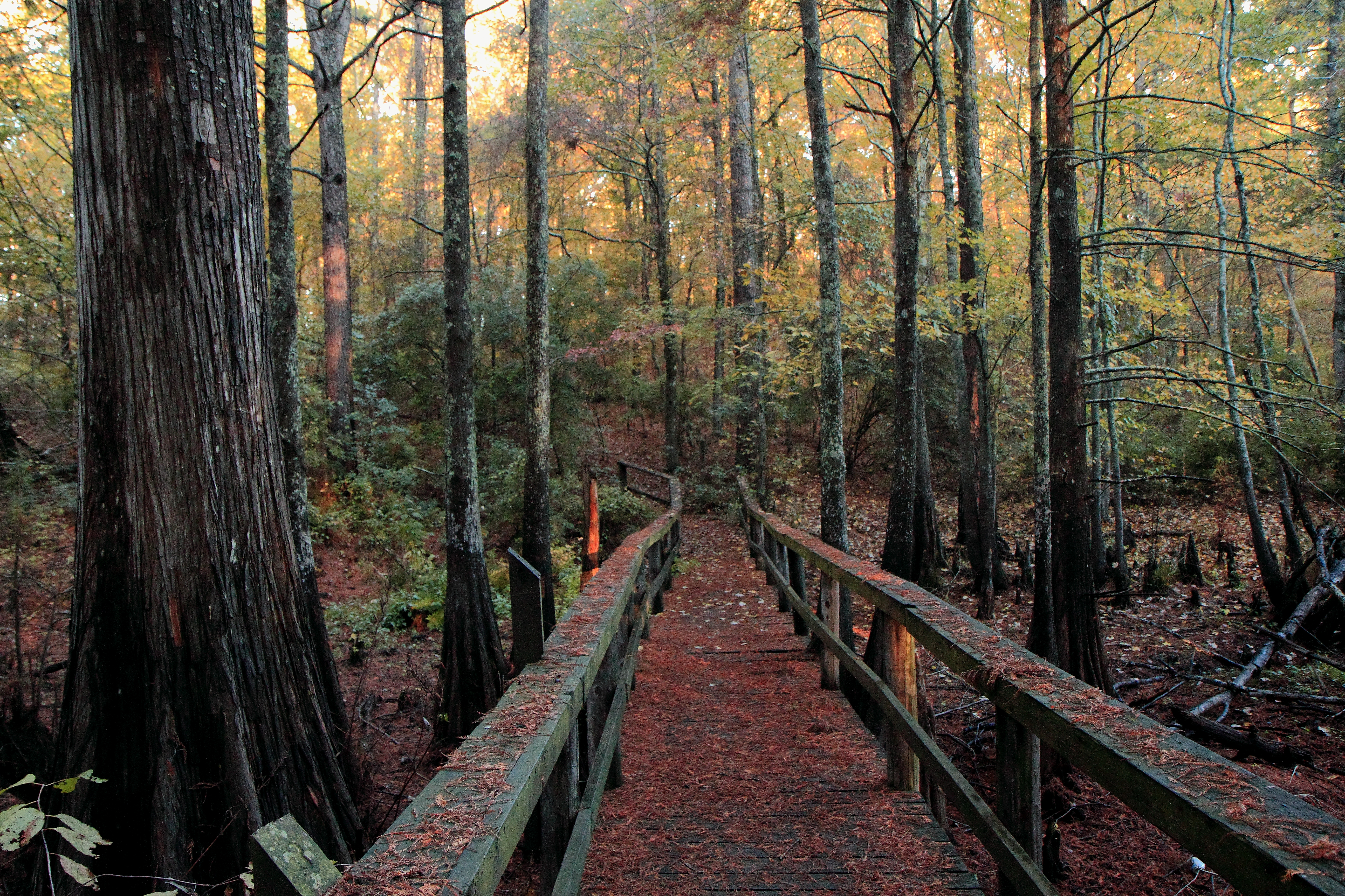
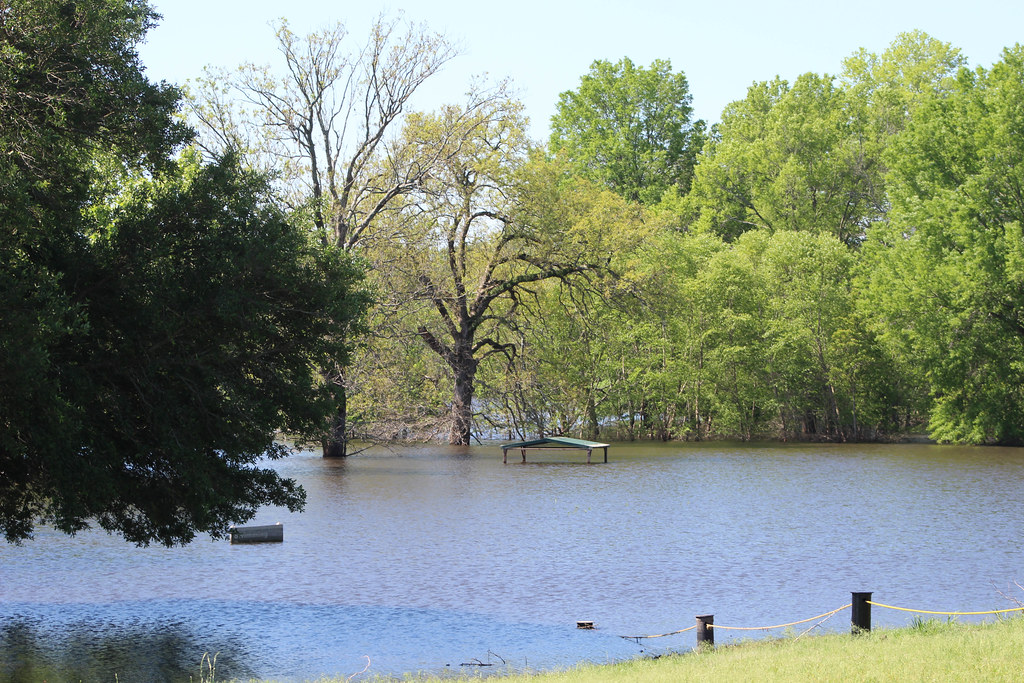
Boardwalk Baldcypress swamp
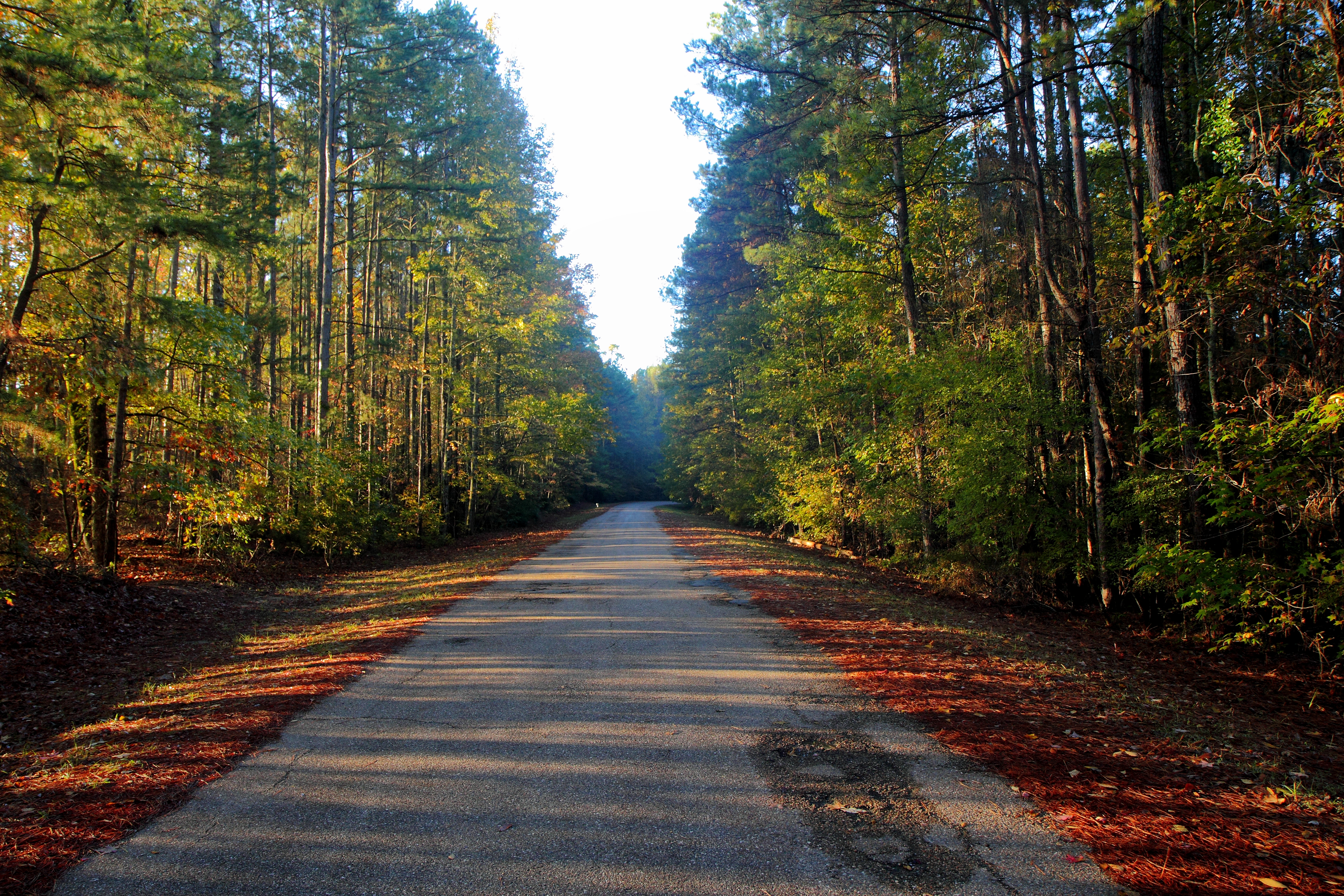
Columbia Lock & Dam Road
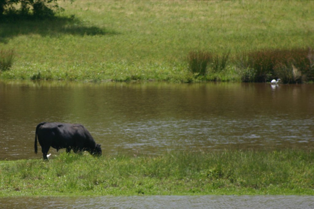
Saturday Road Trip
Saturday Road Trip
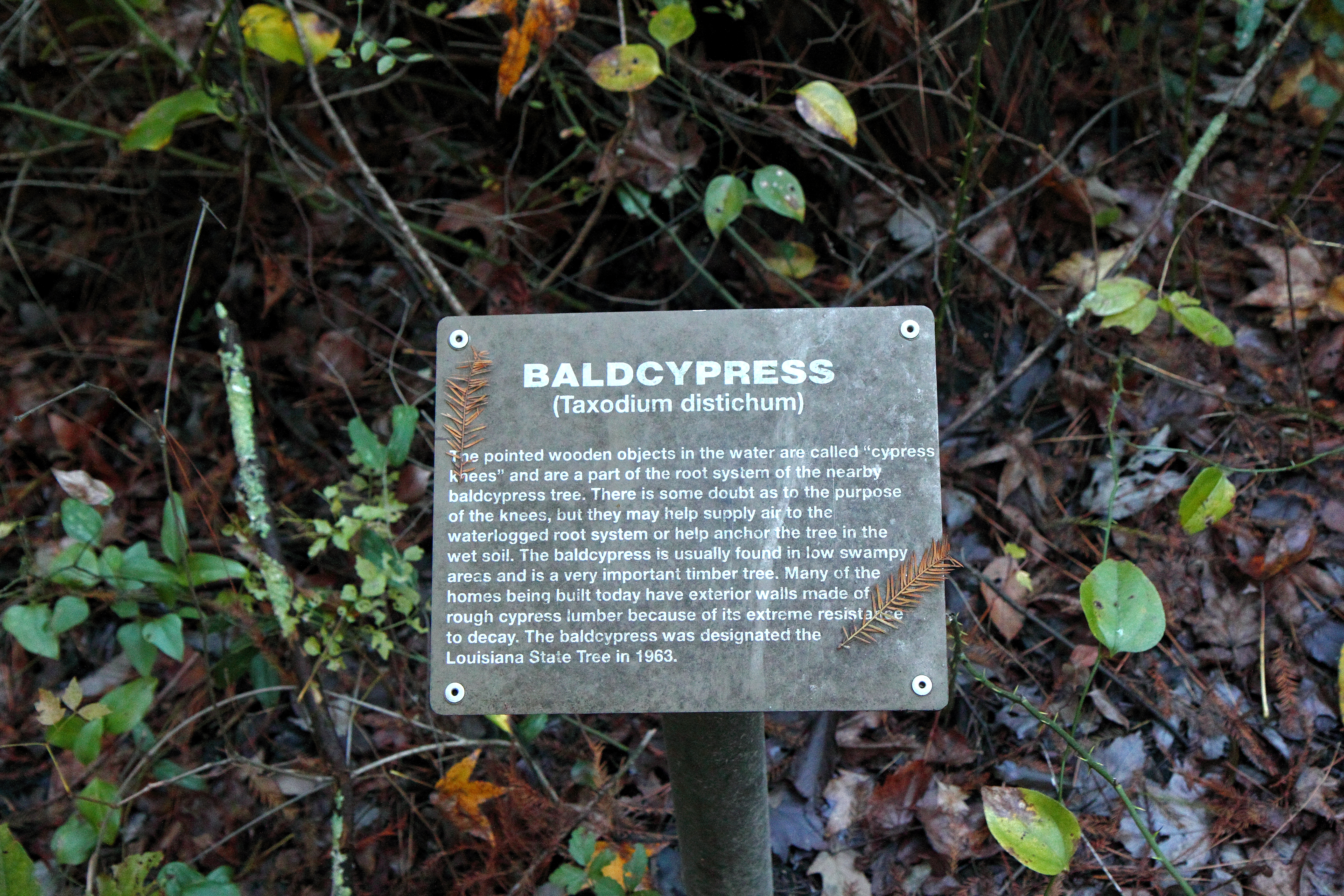
Baldcypress sign
No walking in the swimming area
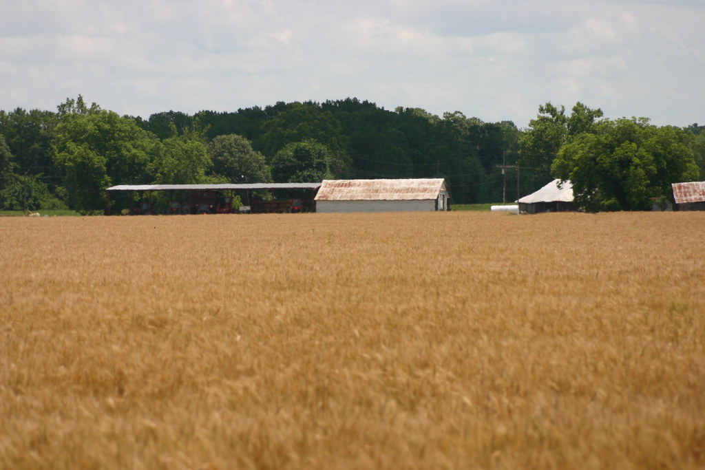
Property Owner

Cory VFD

Cory VFD
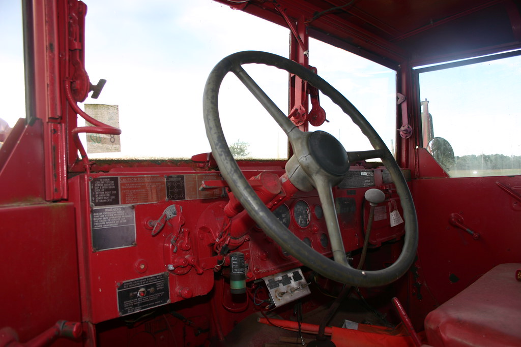
Cory VFD
the pusher

Cory VFD

A little blue grass before the baptisms in the river.
Topographic Map of - Buckey Ln, Columbia, LA, USA
Find elevation by address:

Places near - Buckey Ln, Columbia, LA, USA:
5, LA, USA
Lock And Dam Road
Shell Ave, Chatham, LA, USA
661 Davis Lake Rd
US-, Columbia, LA, USA
202 Page Rd
Church St, Columbia, LA, USA
220 Page Rd
220 Page Rd
220 Page Rd
103 Beech St
Grayson
712 Co Rd 5570
5805 La-133
Caldwell Parish
6, LA, USA
Sikes
LA-, Sikes, LA, USA
127 Novella Rd
Jackson Parish
Recent Searches:
- Elevation of Corso Fratelli Cairoli, 35, Macerata MC, Italy
- Elevation of Tallevast Rd, Sarasota, FL, USA
- Elevation of 4th St E, Sonoma, CA, USA
- Elevation of Black Hollow Rd, Pennsdale, PA, USA
- Elevation of Oakland Ave, Williamsport, PA, USA
- Elevation of Pedrógão Grande, Portugal
- Elevation of Klee Dr, Martinsburg, WV, USA
- Elevation of Via Roma, Pieranica CR, Italy
- Elevation of Tavkvetili Mountain, Georgia
- Elevation of Hartfords Bluff Cir, Mt Pleasant, SC, USA