Elevation of Church St, Columbia, LA, USA
Location: United States > Louisiana > Caldwell Parish >
Longitude: -92.077521
Latitude: 32.1047458
Elevation: 21m / 69feet
Barometric Pressure: 101KPa
Elevation Map:
Satellite Map:
Related Photos:

I love this view.
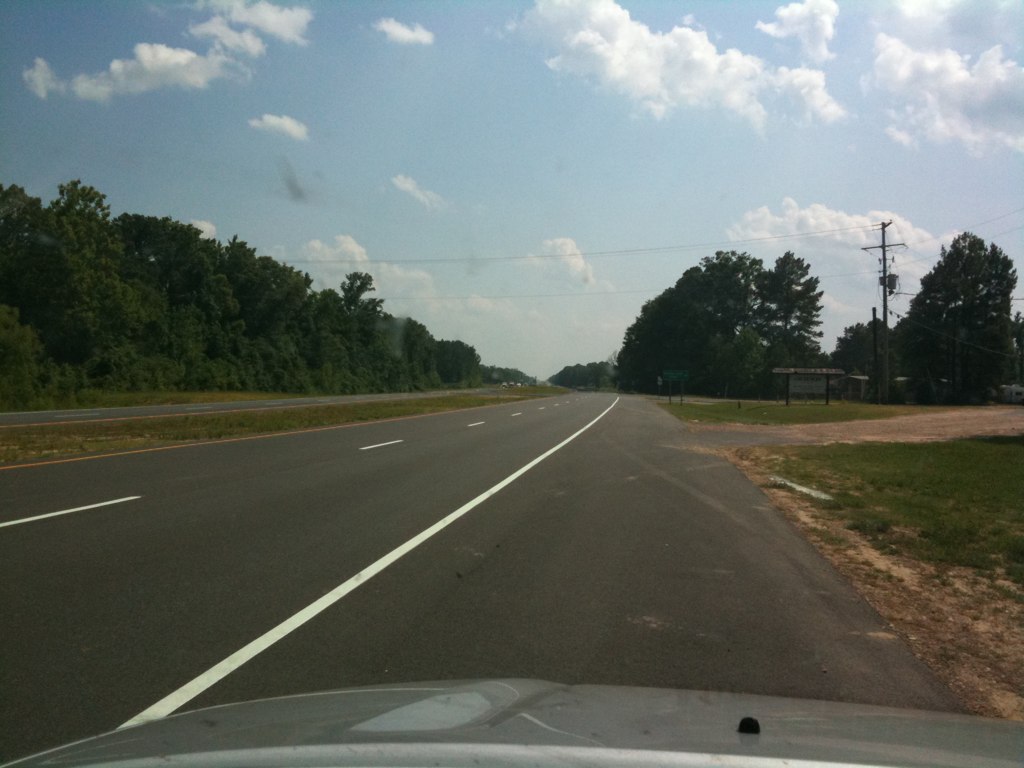
The highway
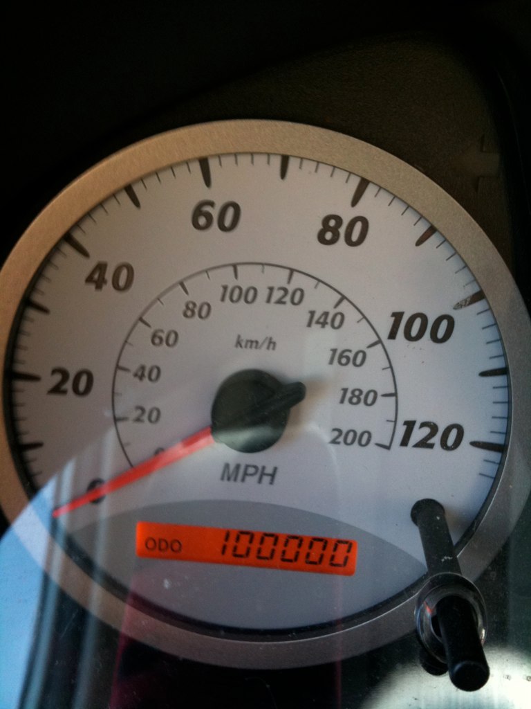
Another view of odometer
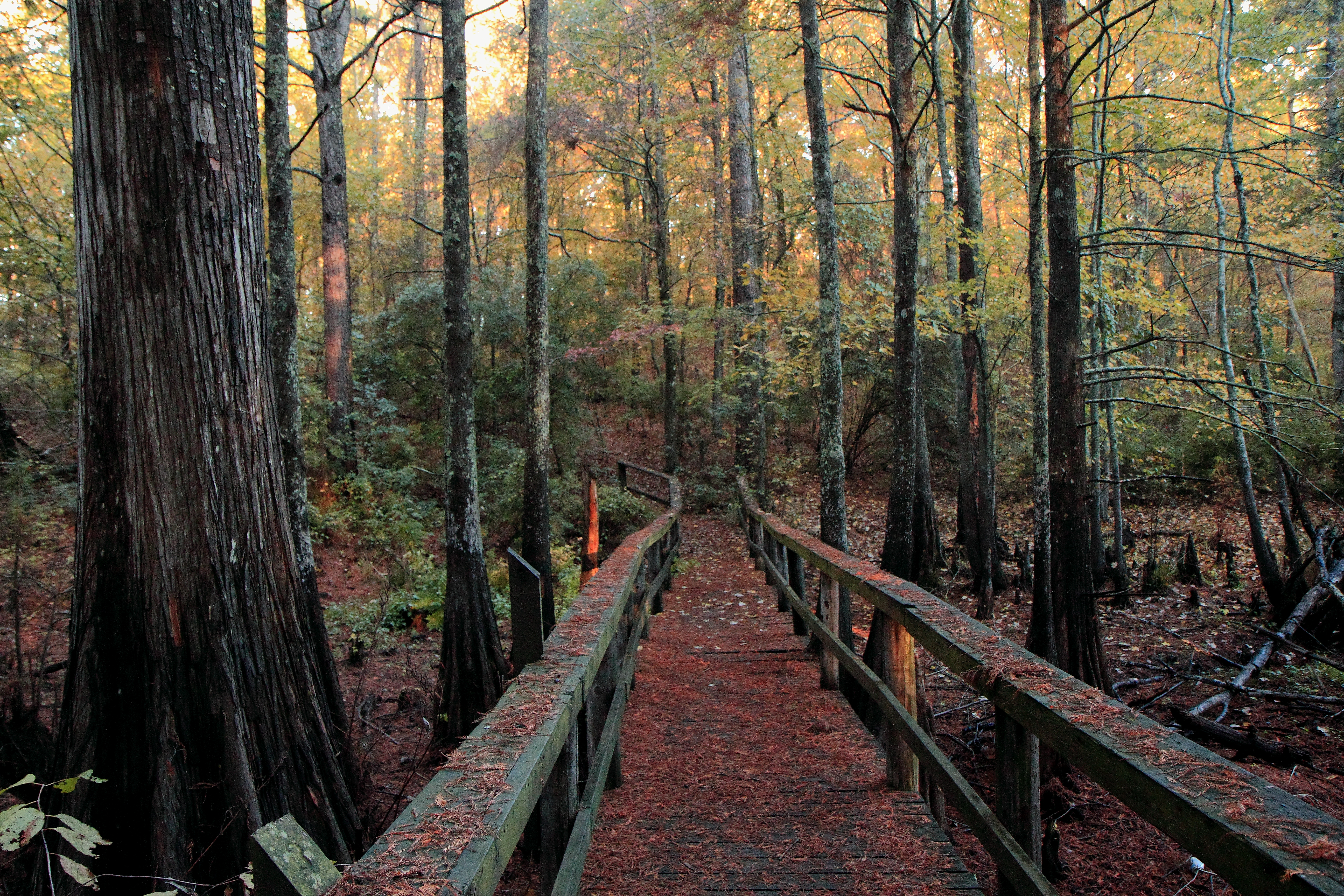
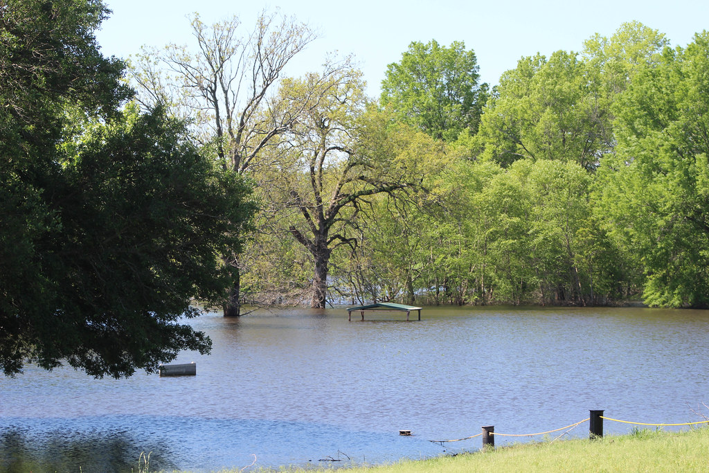
Boardwalk Baldcypress swamp
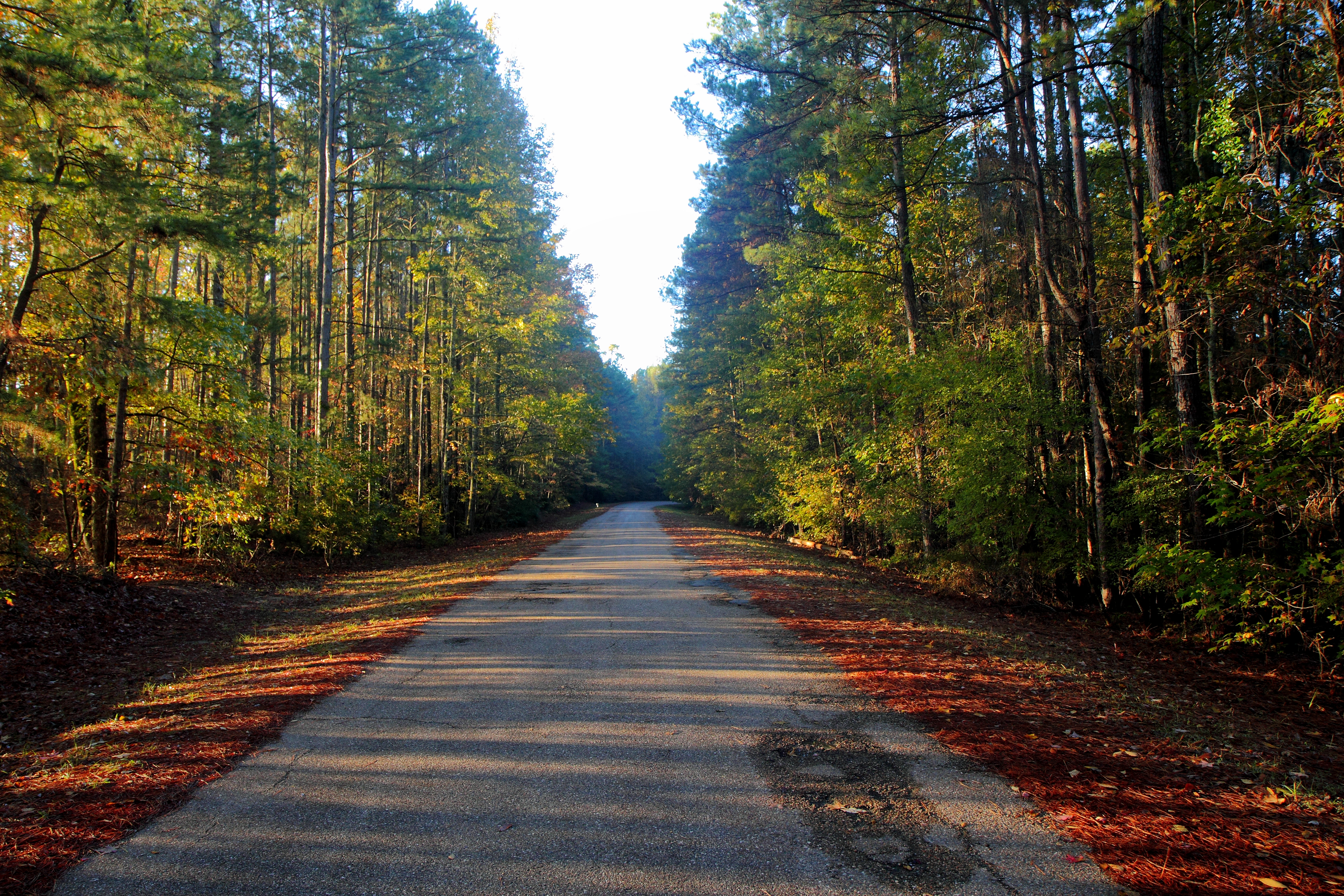
Columbia Lock & Dam Road
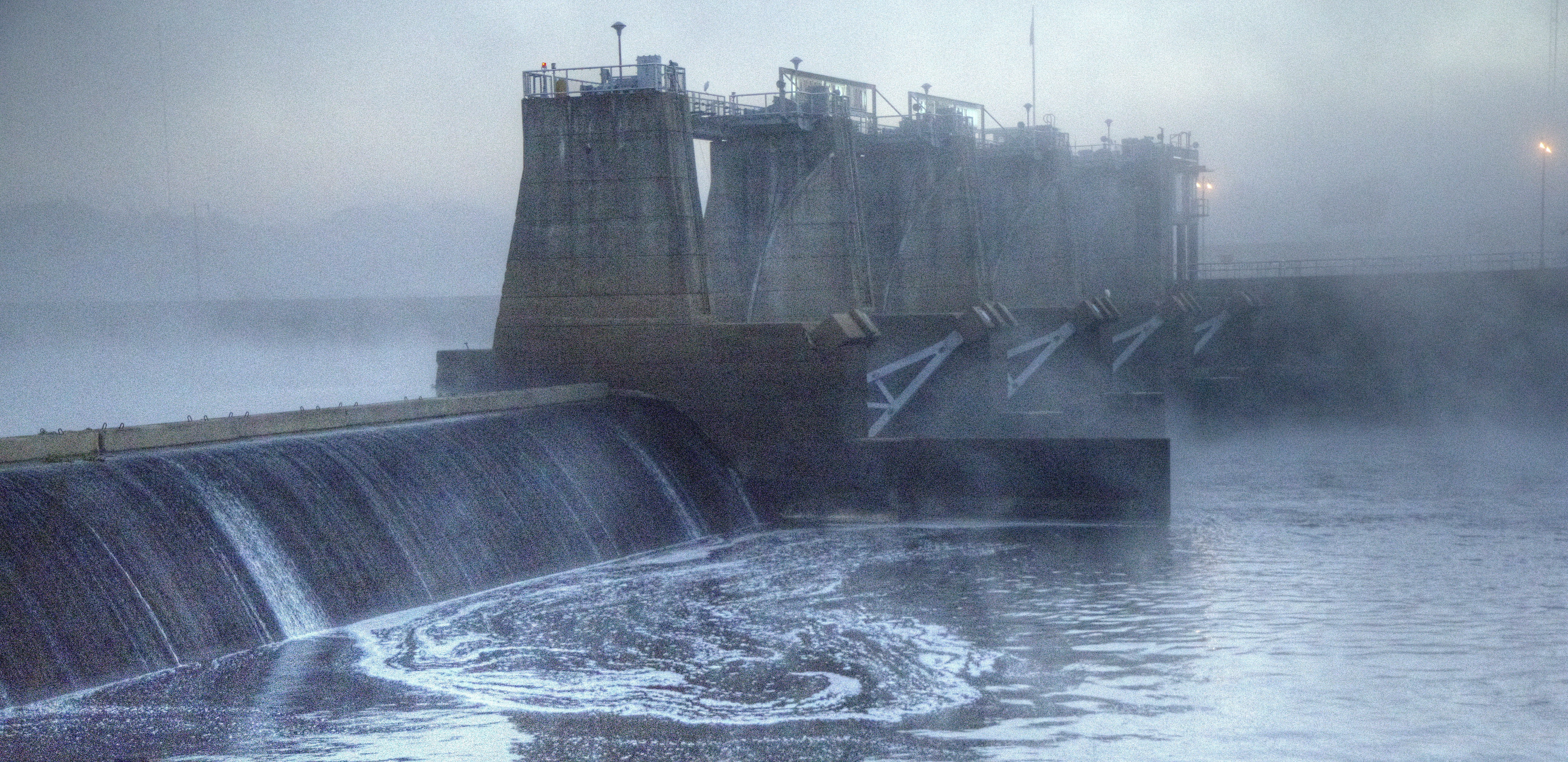
Columbia Lock & Dam in the morning fog
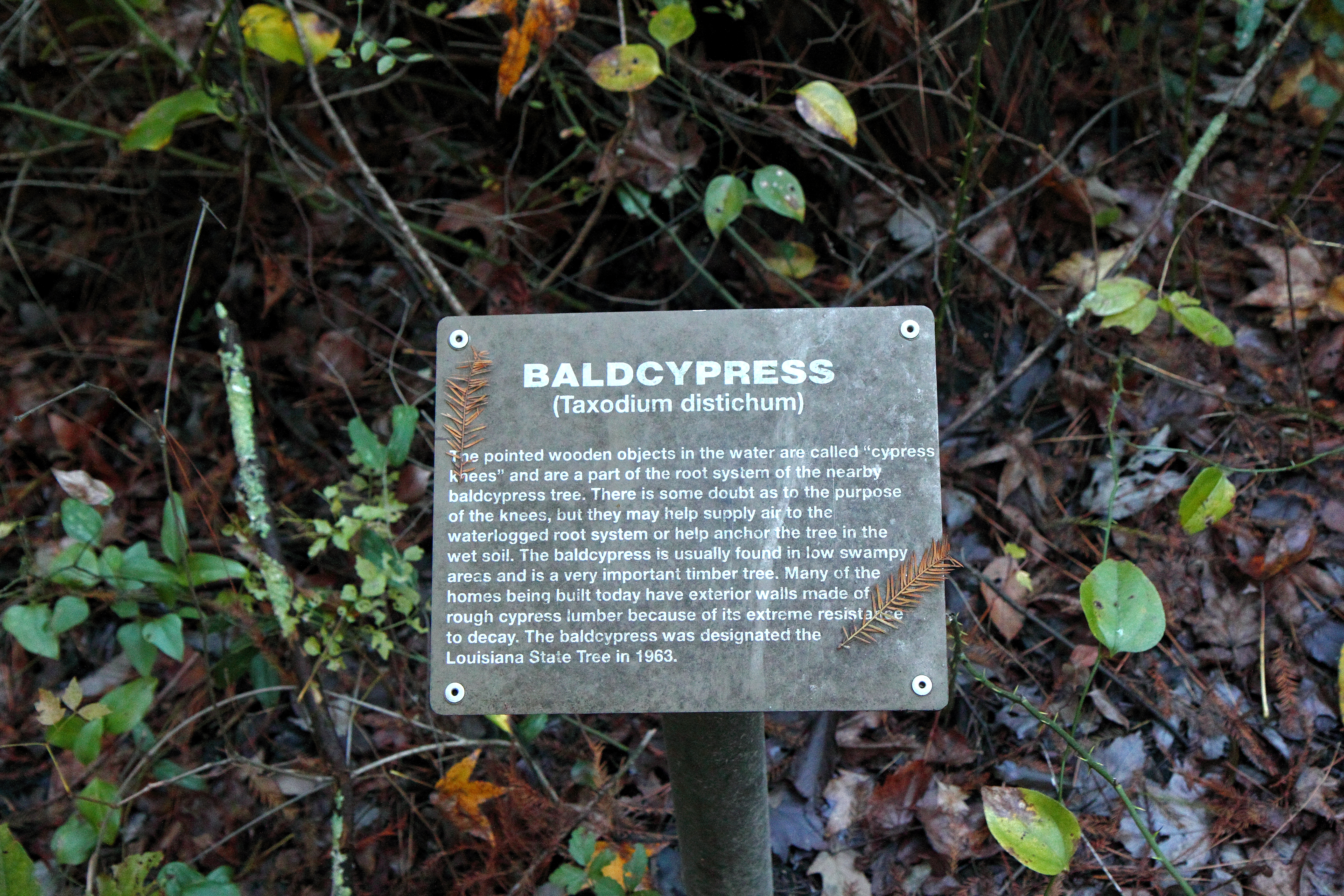
Baldcypress sign
No walking in the swimming area

Clarks Park
Saturday Road Trip
Saturday Road Trip
Topographic Map of Church St, Columbia, LA, USA
Find elevation by address:

Places near Church St, Columbia, LA, USA:
US-, Columbia, LA, USA
661 Davis Lake Rd
202 Page Rd
220 Page Rd
220 Page Rd
220 Page Rd
Caldwell Parish
712 Co Rd 5570
103 Beech St
5805 La-133
Grayson
Lock And Dam Road
7, LA, USA
5, LA, USA
LA-, Grayson, LA, USA
LA-, Columbia, LA, USA
127 Novella Rd
1820 La-126
2, LA, USA
Louisiana 124
Recent Searches:
- Elevation of Corso Fratelli Cairoli, 35, Macerata MC, Italy
- Elevation of Tallevast Rd, Sarasota, FL, USA
- Elevation of 4th St E, Sonoma, CA, USA
- Elevation of Black Hollow Rd, Pennsdale, PA, USA
- Elevation of Oakland Ave, Williamsport, PA, USA
- Elevation of Pedrógão Grande, Portugal
- Elevation of Klee Dr, Martinsburg, WV, USA
- Elevation of Via Roma, Pieranica CR, Italy
- Elevation of Tavkvetili Mountain, Georgia
- Elevation of Hartfords Bluff Cir, Mt Pleasant, SC, USA