Elevation of - AR-38, Hughes, AR, USA
Location: United States > Arkansas > Crittenden County > Lucas Township >
Longitude: -90.397499
Latitude: 34.926027
Elevation: 63m / 207feet
Barometric Pressure: 101KPa
Elevation Map:
Satellite Map:
Related Photos:

Awesome speaker welcome at #SoMeT
View east to Levee
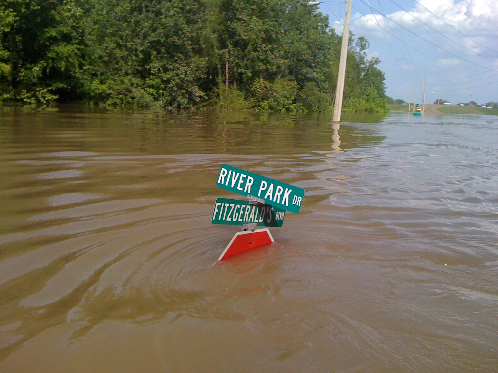
View W down Fitz Blvd
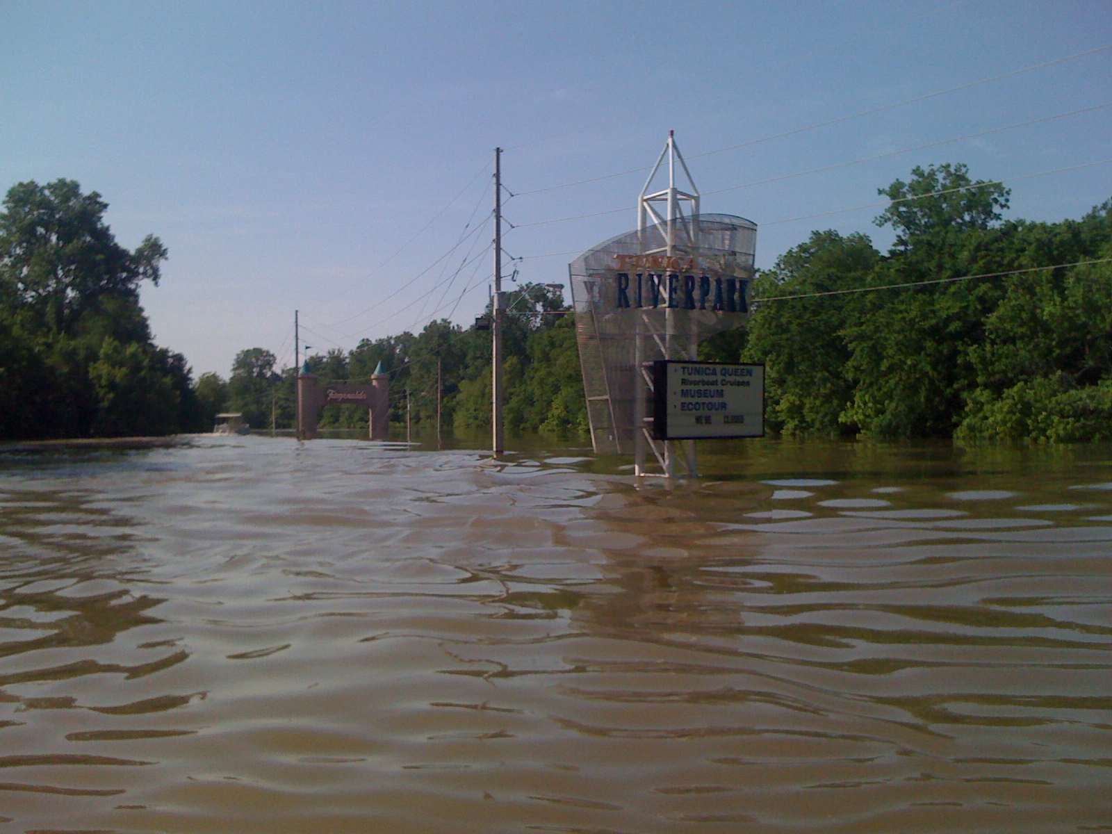
Tunica Riverpark
Tunica Riverpark
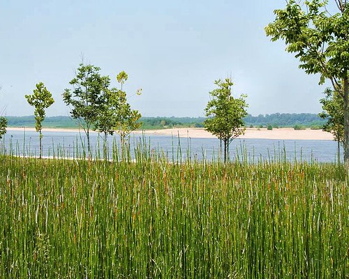
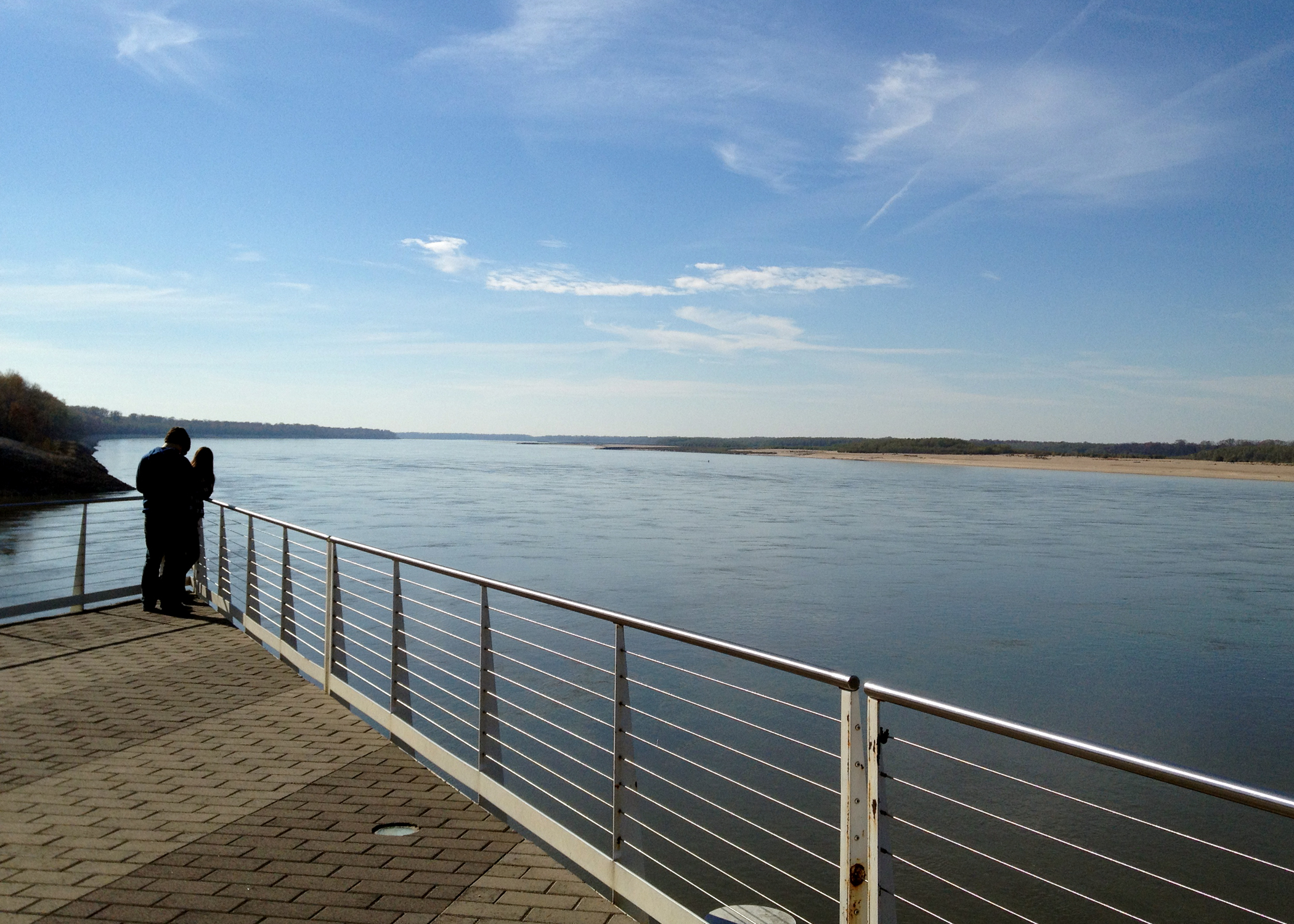
Mississippi River-Tunica, MS
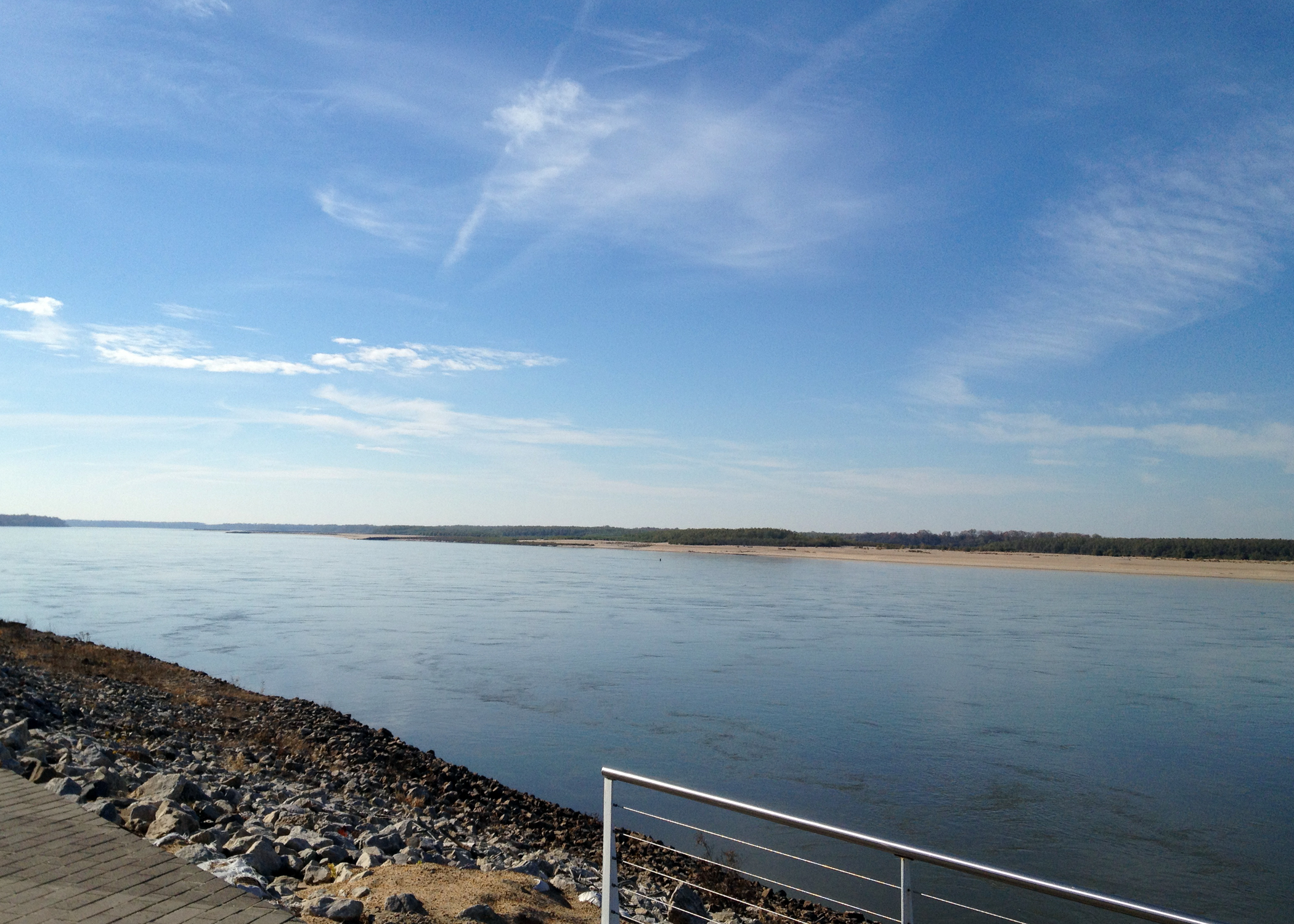
Tunica Riverpark
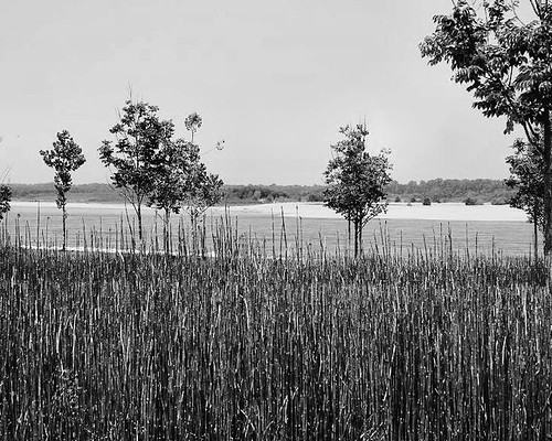
Mississippi River-Tunica, MS
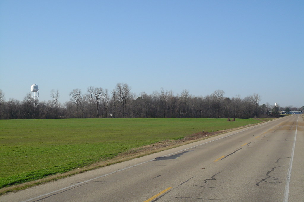
Hughes Arkansas Water Tower
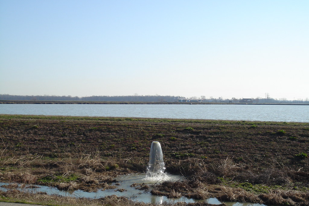
Ponds near Hughes Arkansas
It's snowing!

Tunica Riverpark
Topographic Map of - AR-38, Hughes, AR, USA
Find elevation by address:

Places near - AR-38, Hughes, AR, USA:
510-520
Lucas Township
63 AR-38, Hughes, AR, USA
Horseshoe Cir, Hughes, AR, USA
Hughes
Church St, Hughes, AR, USA
Garland Township
Fitz Tunica Casino & Hotel
Horseshoe Cir, Hughes, AR, USA
Williford Rd, Hughes, AR, USA
AR-50, Proctor, AR, USA
County Rd, Hughes, AR, USA
Dillahunty Rd, Hughes, AR, USA
Tunica Resorts
Robinsonville
AR-, Proctor, AR, USA
Bass Landing Rd, Lake Cormorant, MS, USA
Bob Ward Township
Proctor
AR-, Proctor, AR, USA
Recent Searches:
- Elevation of Corso Fratelli Cairoli, 35, Macerata MC, Italy
- Elevation of Tallevast Rd, Sarasota, FL, USA
- Elevation of 4th St E, Sonoma, CA, USA
- Elevation of Black Hollow Rd, Pennsdale, PA, USA
- Elevation of Oakland Ave, Williamsport, PA, USA
- Elevation of Pedrógão Grande, Portugal
- Elevation of Klee Dr, Martinsburg, WV, USA
- Elevation of Via Roma, Pieranica CR, Italy
- Elevation of Tavkvetili Mountain, Georgia
- Elevation of Hartfords Bluff Cir, Mt Pleasant, SC, USA