Elevation of -80 Stones Rd, Susanville, CA, USA
Location: United States > California > Susanville >
Longitude: -120.72352
Latitude: 40.712568
Elevation: 1565m / 5134feet
Barometric Pressure: 84KPa
Elevation Map:
Satellite Map:
Related Photos:
_IGP9693.PEF Eagle Lake Hwy
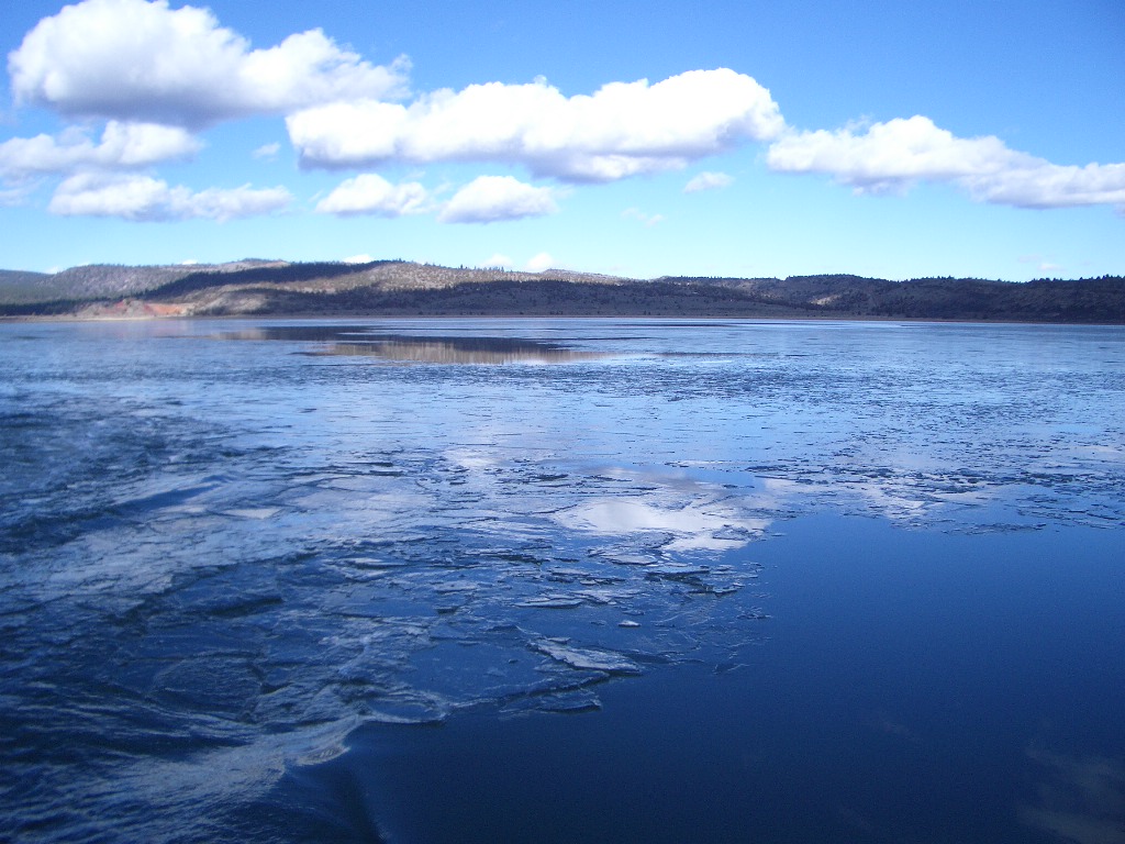
Thats ICE
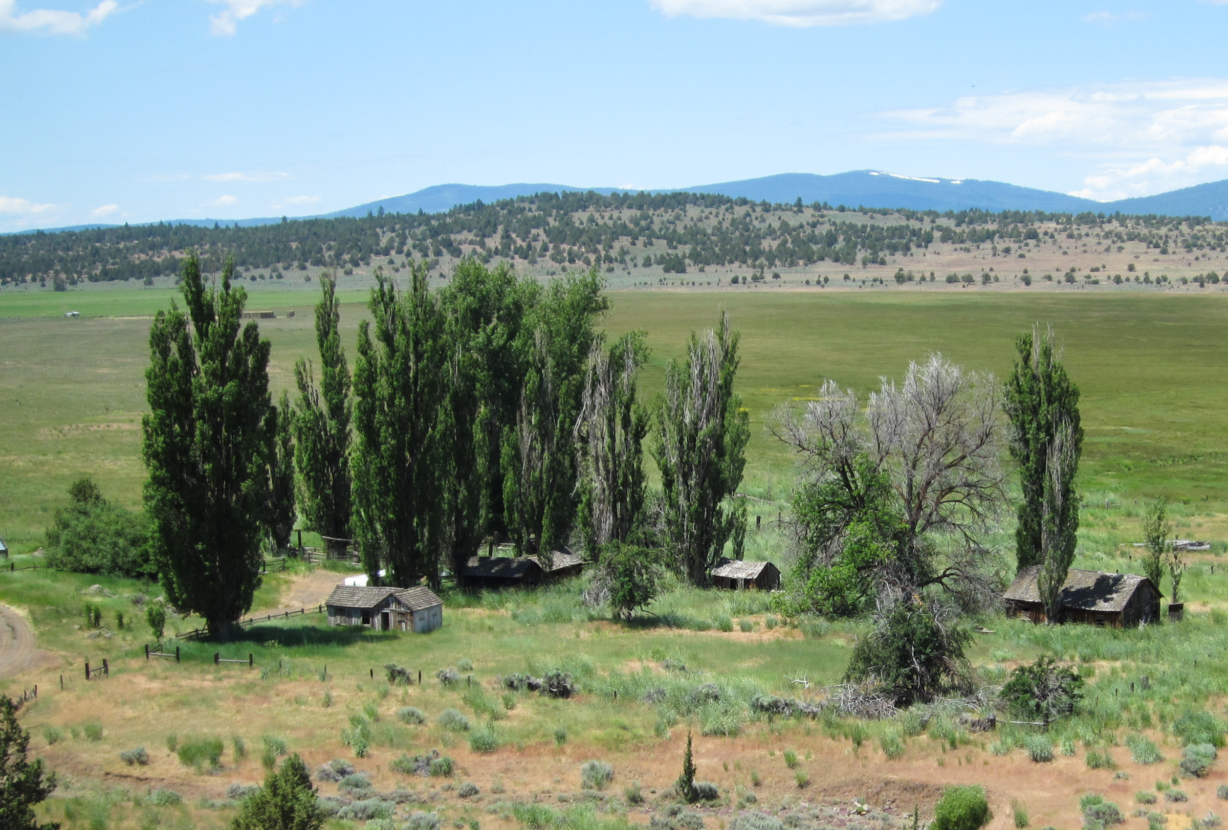
eagle lake, california
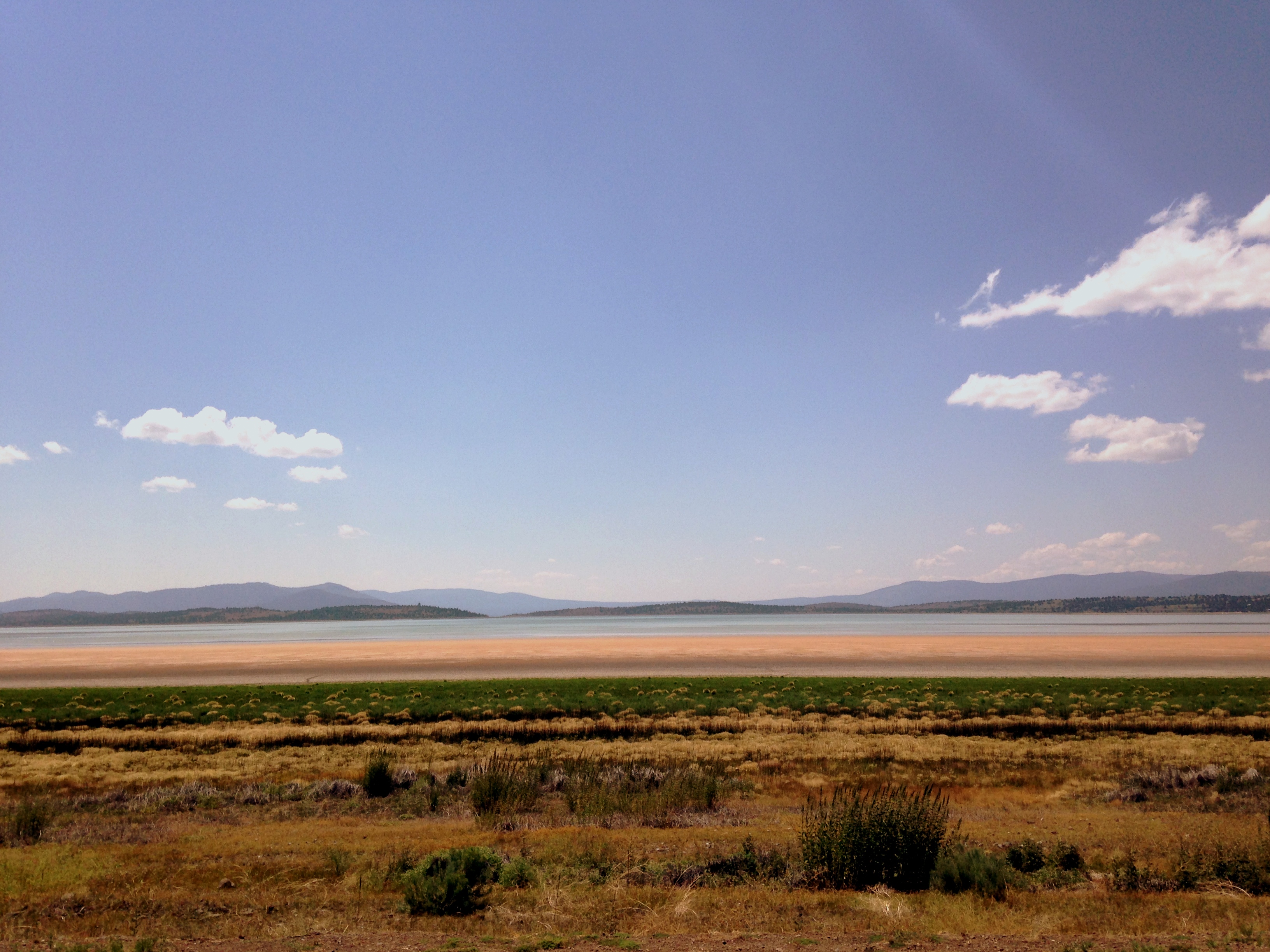
Eagle Lake June 2013

Eagle Lake - Early morning fishing
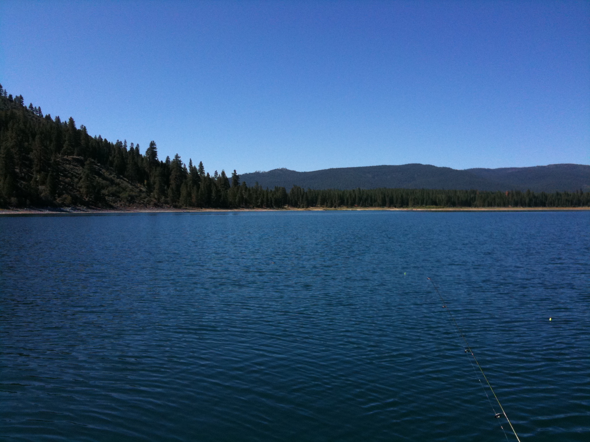
Fishing on Eagle Lake

Eagle Lake June 2013

805_1248.NEF

805_1249.NEF
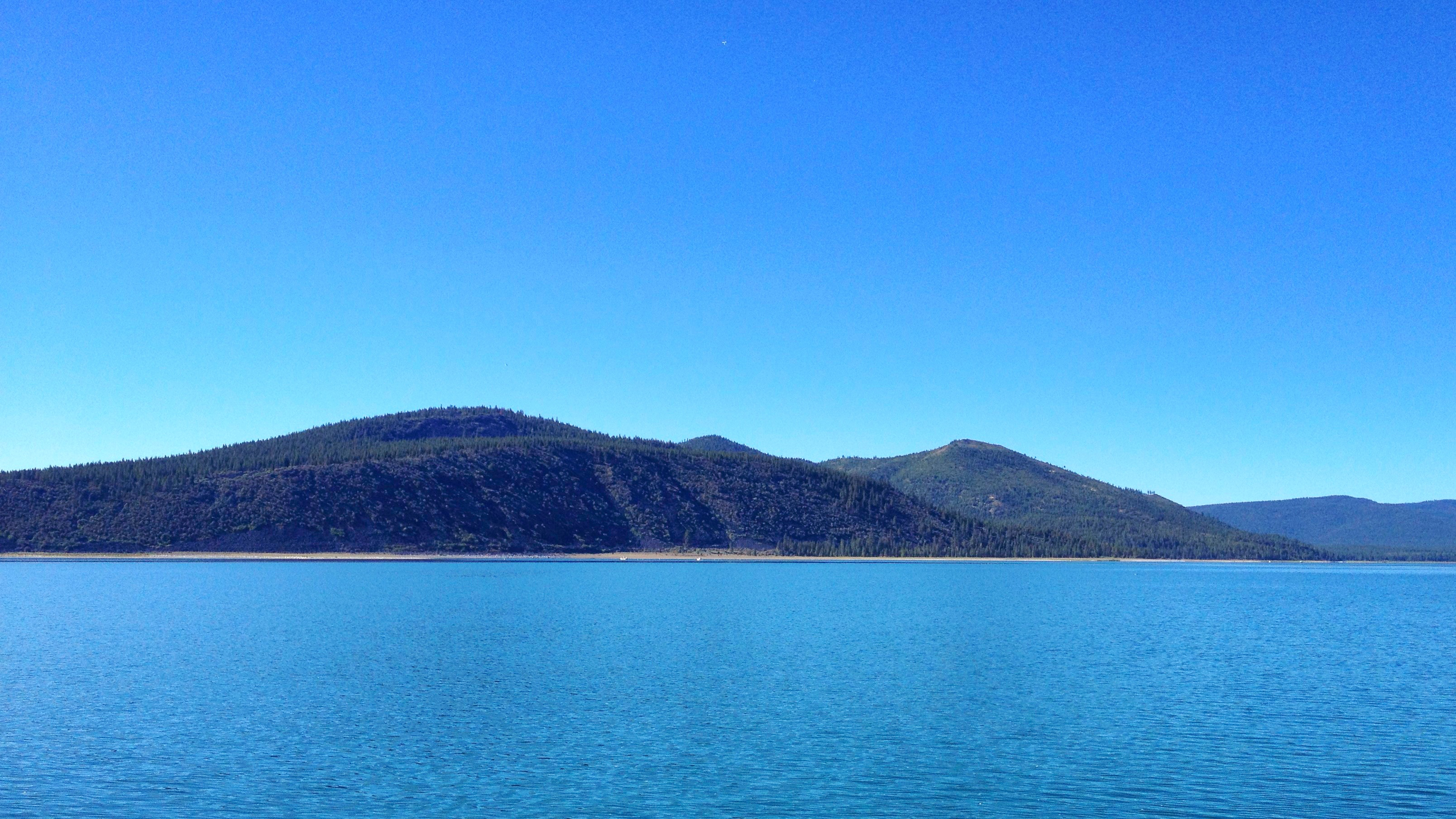
Eagle Lake, CA (1054)
Topographic Map of -80 Stones Rd, Susanville, CA, USA
Find elevation by address:

Places near -80 Stones Rd, Susanville, CA, USA:
692-500 Lahonton Heights Dr
507-720 Juniper Ln
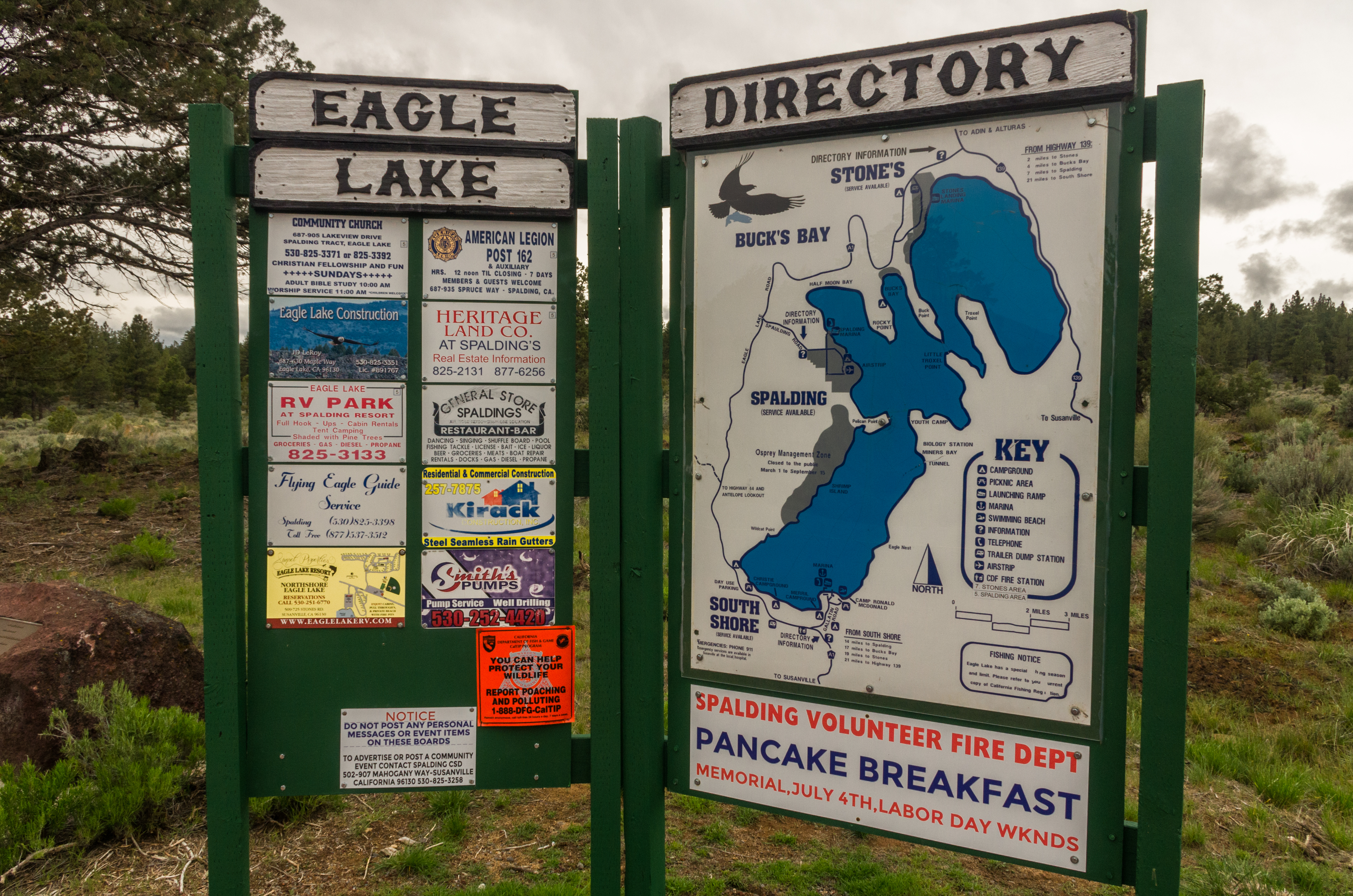
Eagle Lake
Fredonyer Peak
Lassen County
Susanville
Roop Mountain
696725 Peak Rd
691-135 Las Plumas Way
Lassen Way
478-130 Lake Forest Dr
Estates Drive
Susanville
2301 Main St
472-950
699-500 Oak Mountain Dr
699-740 Old Archery Rd
710-205
705-210 Indale Dr
480-250
Recent Searches:
- Elevation of Corso Fratelli Cairoli, 35, Macerata MC, Italy
- Elevation of Tallevast Rd, Sarasota, FL, USA
- Elevation of 4th St E, Sonoma, CA, USA
- Elevation of Black Hollow Rd, Pennsdale, PA, USA
- Elevation of Oakland Ave, Williamsport, PA, USA
- Elevation of Pedrógão Grande, Portugal
- Elevation of Klee Dr, Martinsburg, WV, USA
- Elevation of Via Roma, Pieranica CR, Italy
- Elevation of Tavkvetili Mountain, Georgia
- Elevation of Hartfords Bluff Cir, Mt Pleasant, SC, USA