Elevation of 9 Tamlaght Rd, Maghera BT46, UK
Location: United Kingdom > Northern Ireland > Magherafelt >
Longitude: -6.5807051
Latitude: 54.8957558
Elevation: 57m / 187feet
Barometric Pressure: 101KPa
Elevation Map:
Satellite Map:
Related Photos:
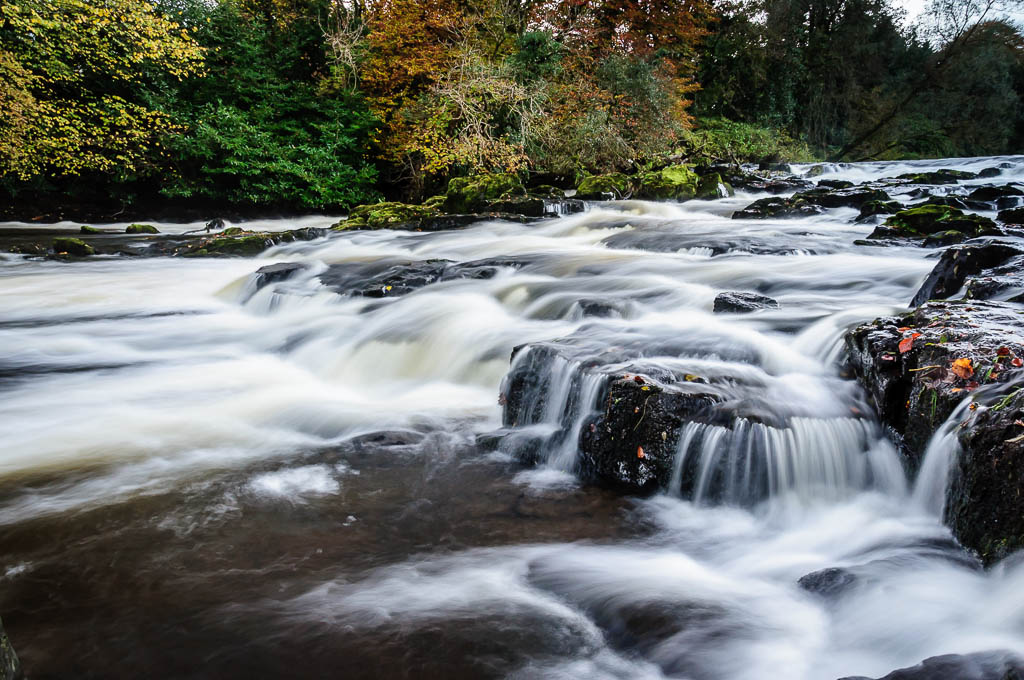
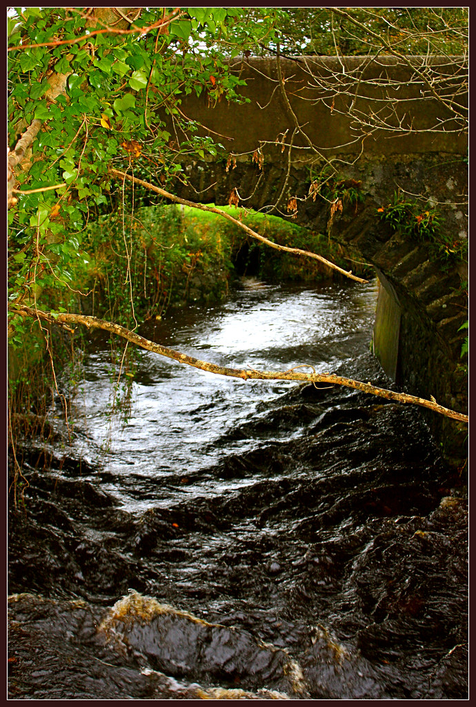
River Maine at Galgorm Manor
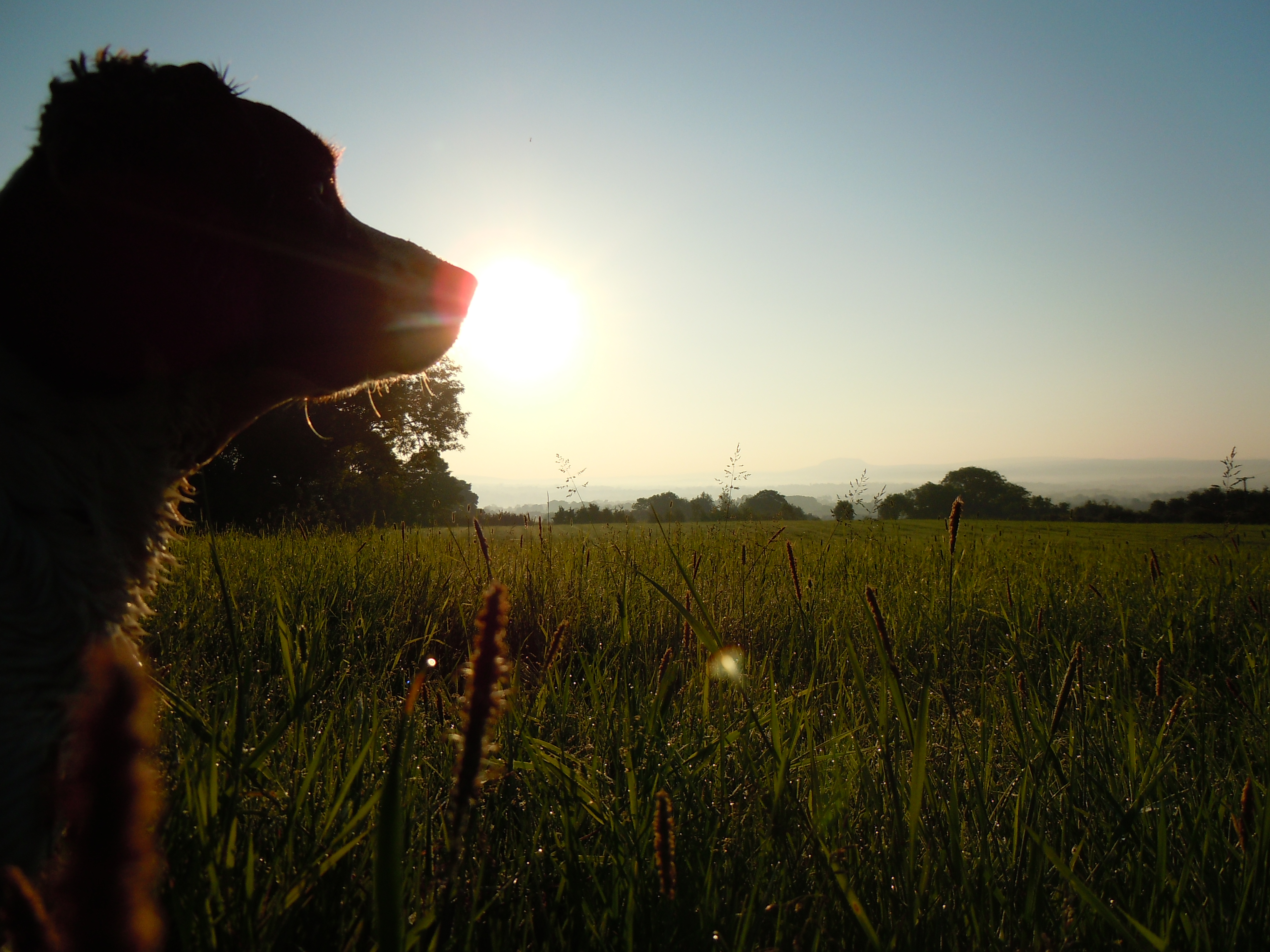
Chili enjoying the morning view
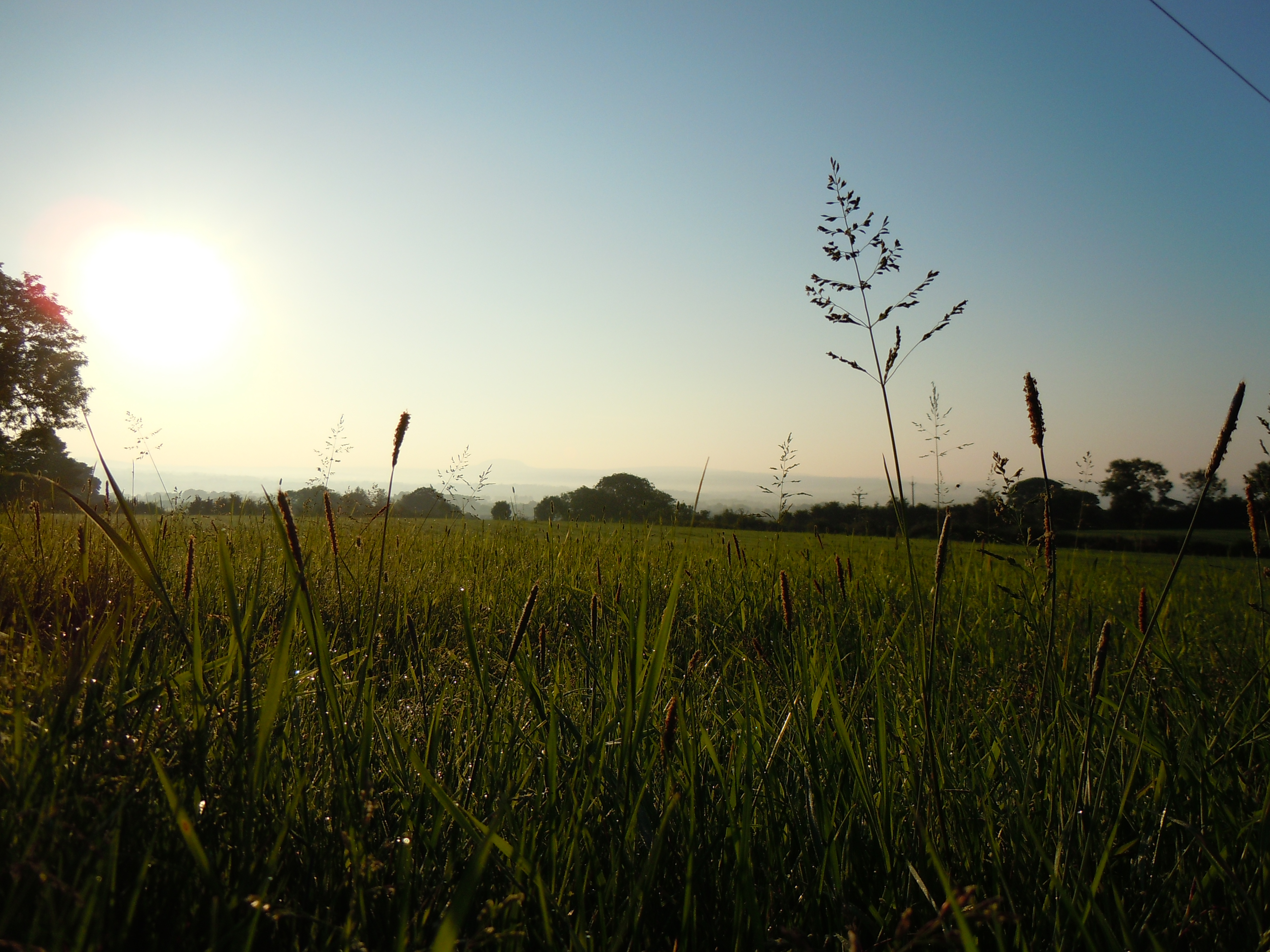
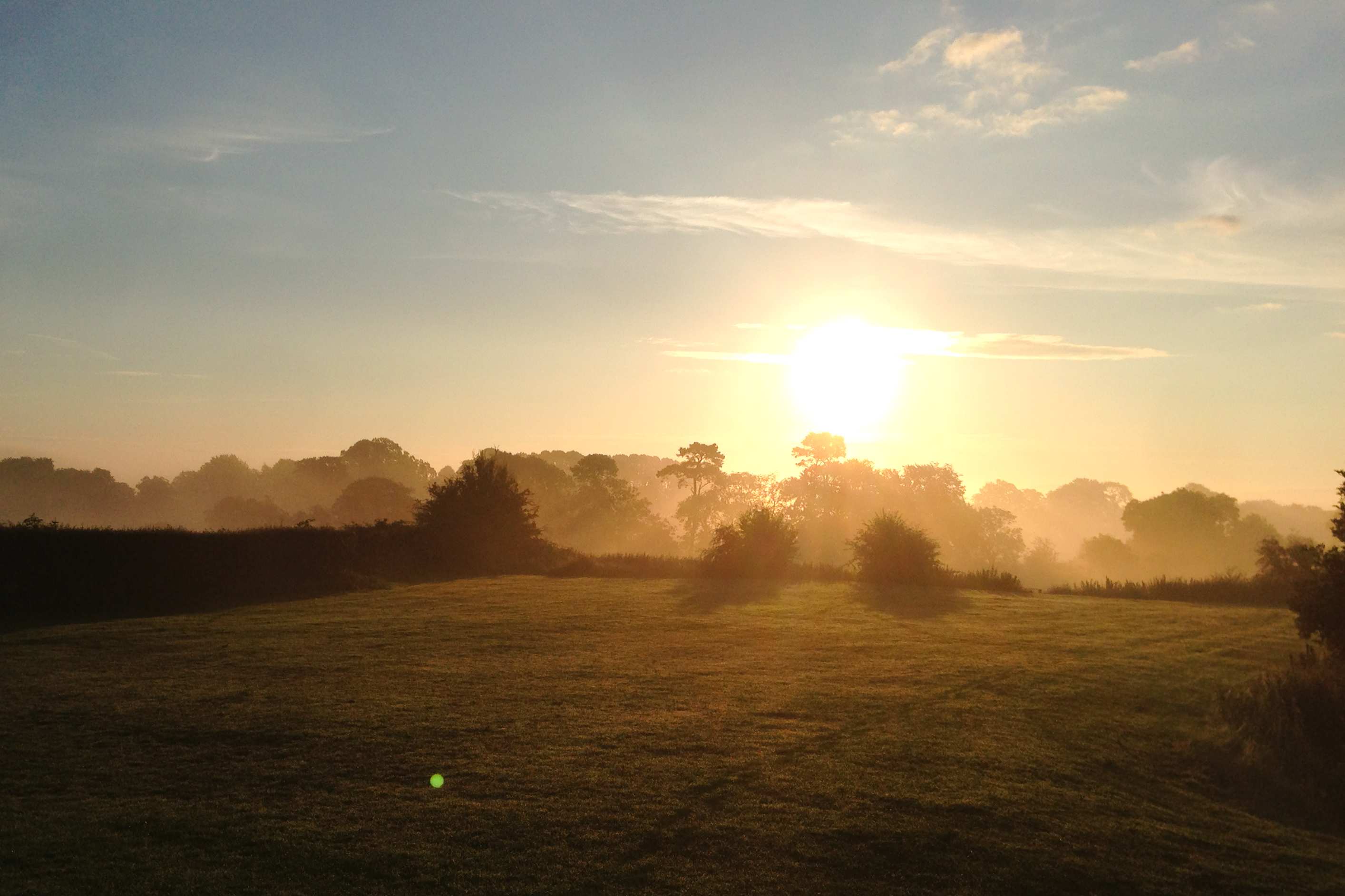
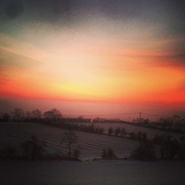
Morning view

Big Ball Of Heat
River Maine at Galgorm Manor
No longer needed.

Chili & Tess enjoying the great day!! #springer #springerspaniel #sunrise #sun #dogwalking #clouds
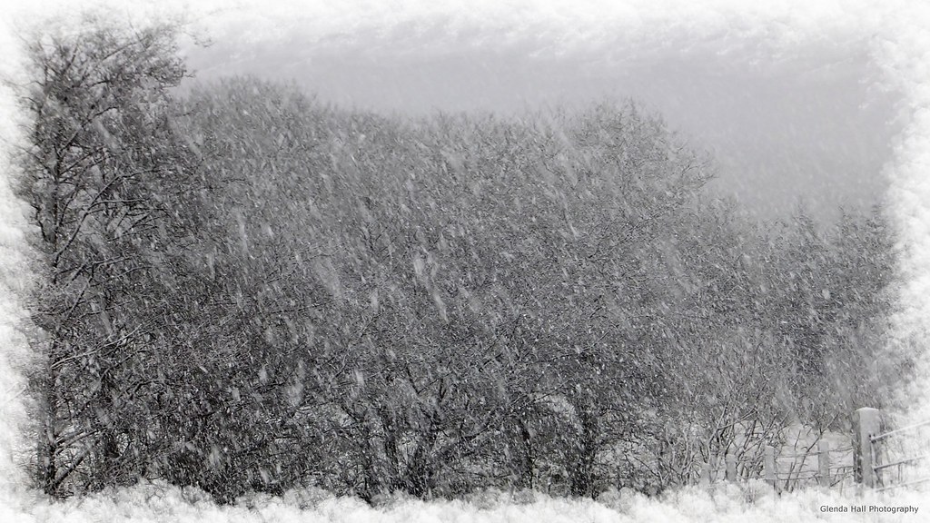
The Blizzard

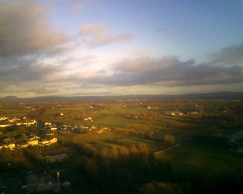
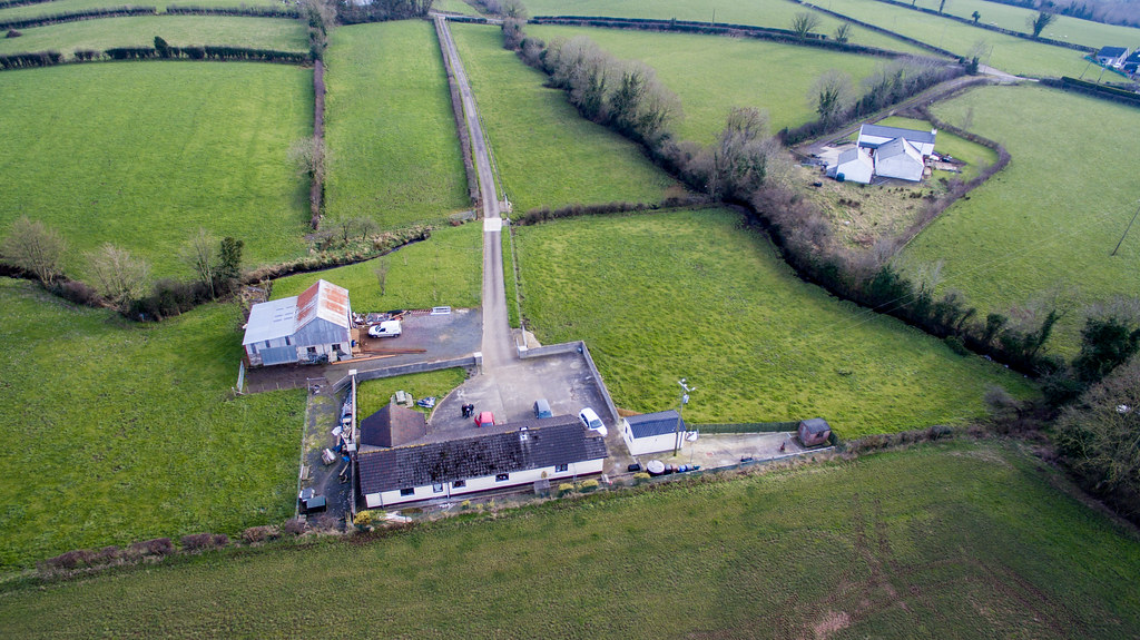
Maghera from the Air

Maghera from the Air
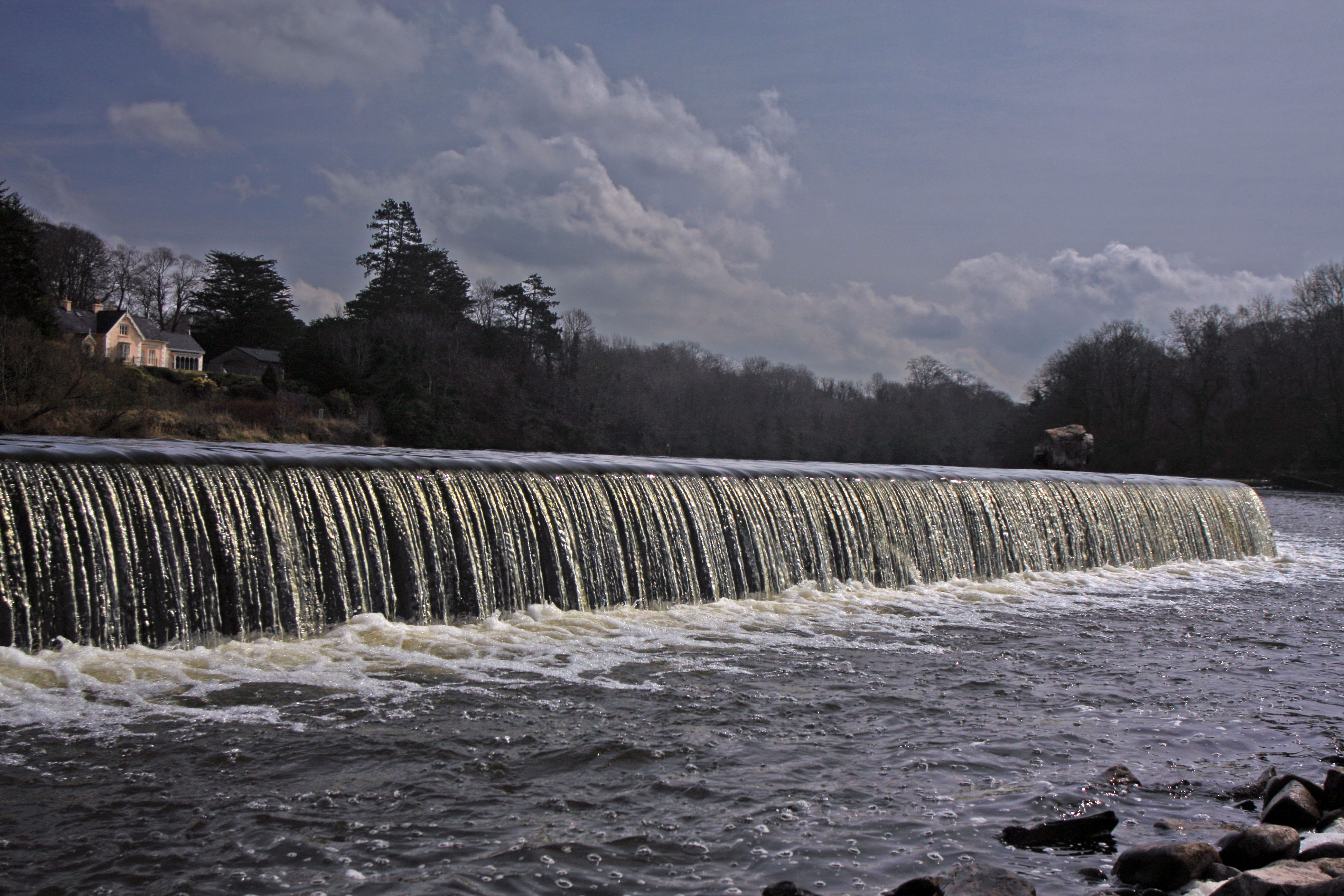
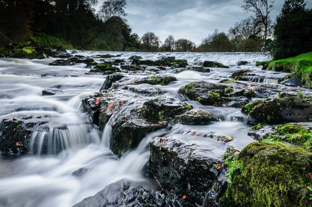
Movanagher Weir

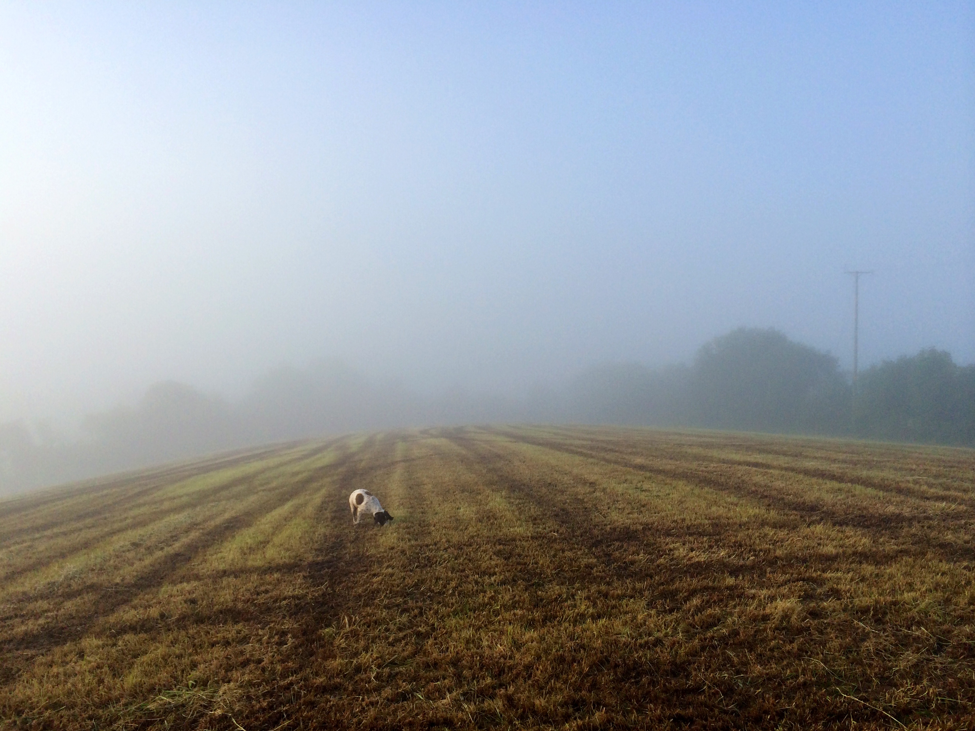
My view this morning #dogwalking #slemish #fog

Maghera from the Air
Aerial view of Cullybackey

Glenshane Pass
Maghera from the Air
Maghera from the Air
Aerial View Crosskeys

Maghera from the Air
Aerial View Crosskeys
Aerial View Crosskeys
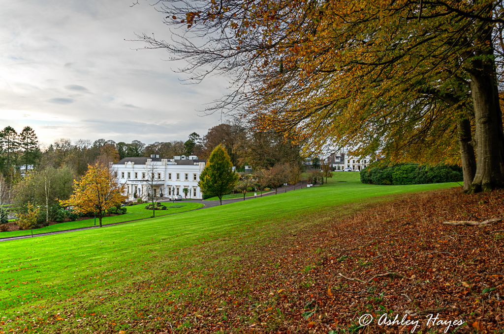
Galgorm Manor, Northern Ireland

Galgorm Manor

Galgorm Manor
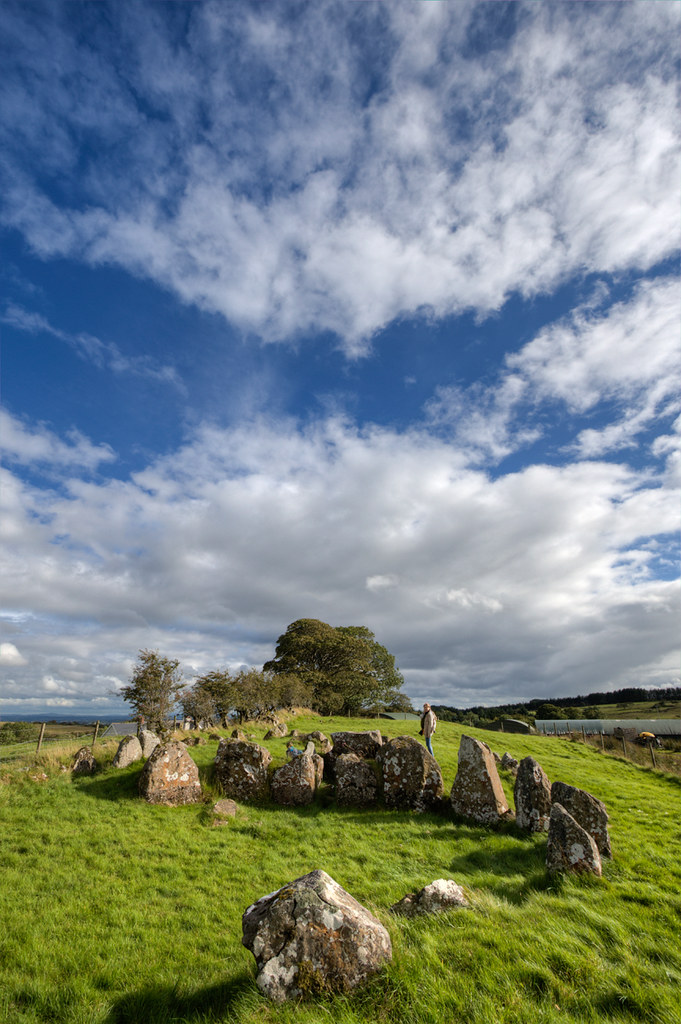
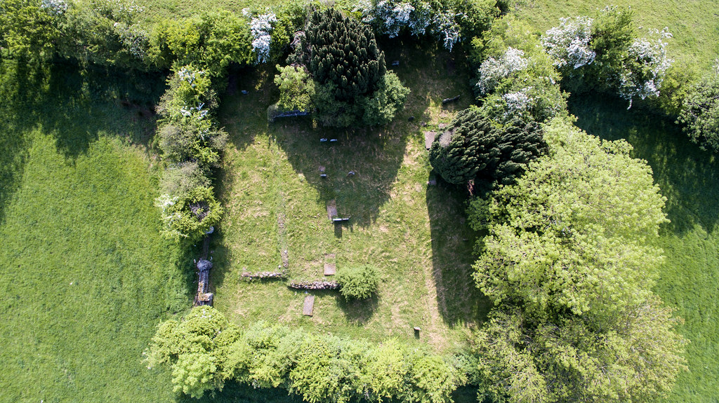
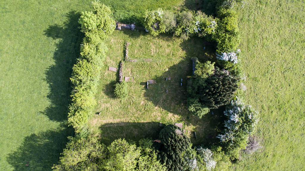
Family visits Knockoneill Court Tomb
Galgorm Manor
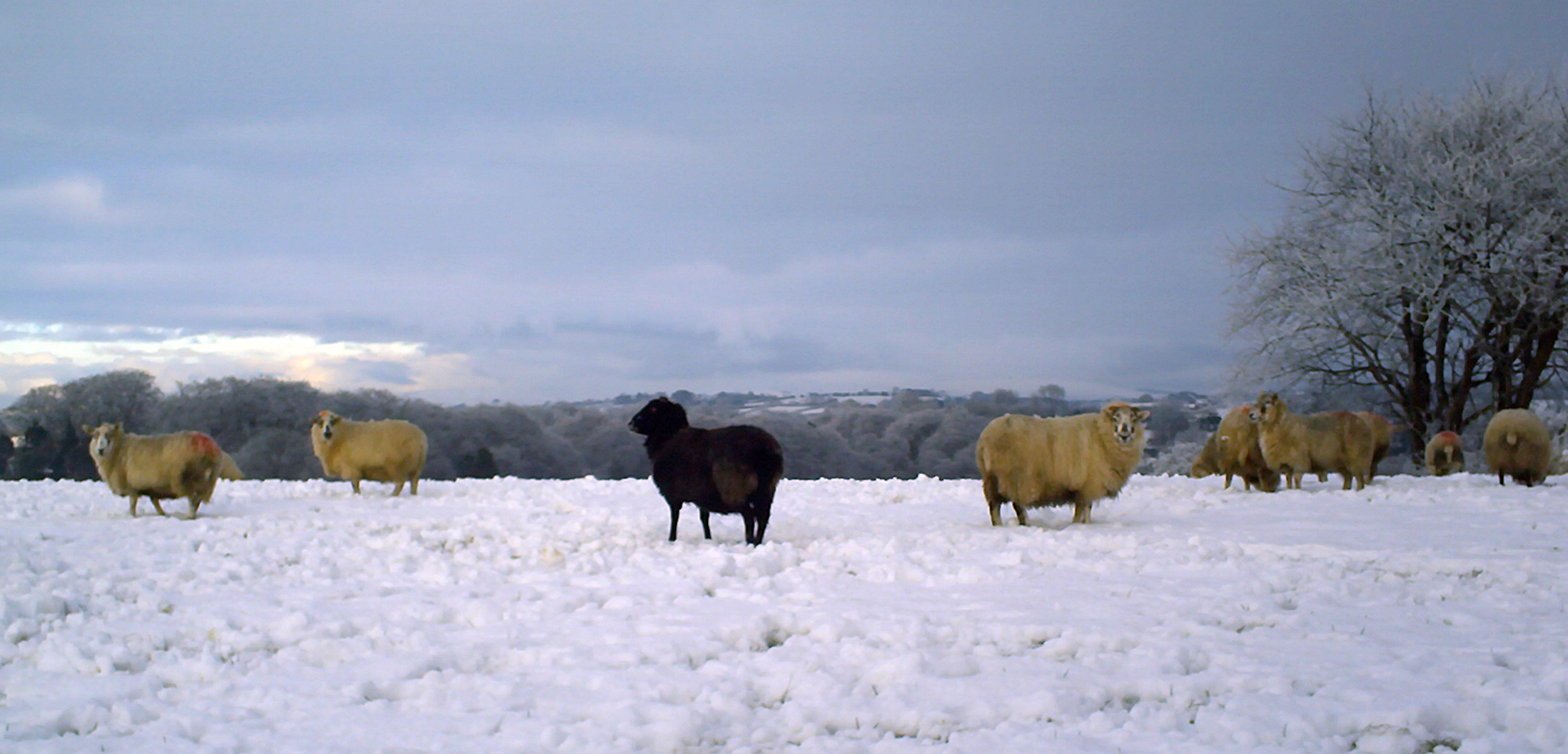
The black sheep of the family
peek a boo
Bugs life *Explored

Dunluce reedit in Lightroom
135/365 *Explored & Dropped
Foggy start *Explored

Tess and Chili
226/365 *Explored & Dropped
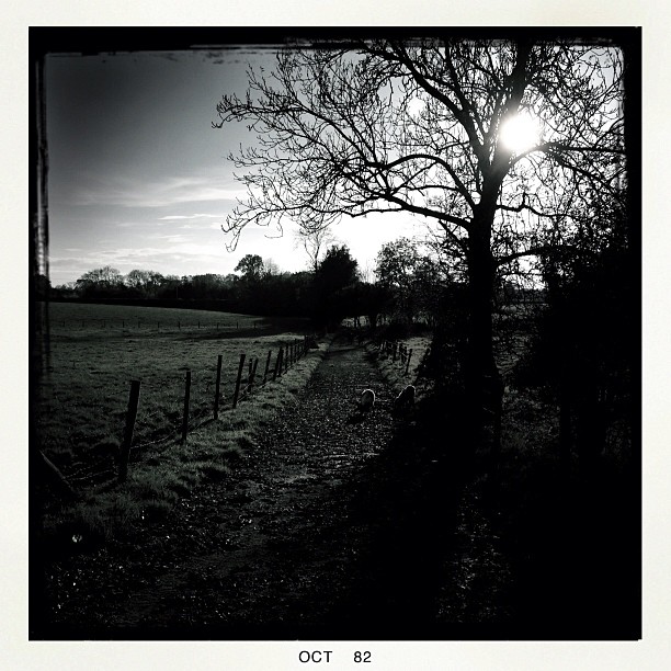
Lane #dogwalking #springer #springerspaniel #hipstamtic

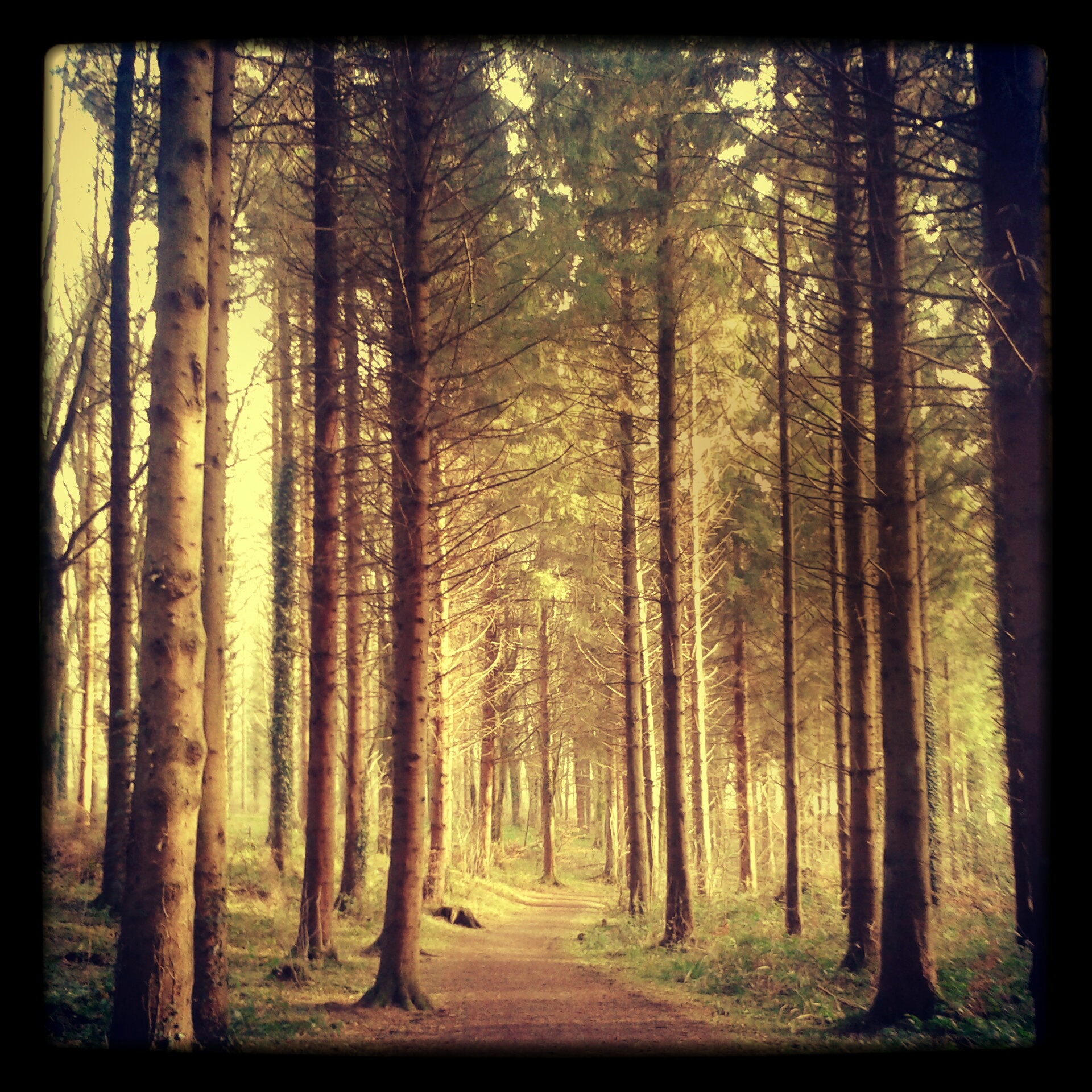
even in black & white the sun can split the trees
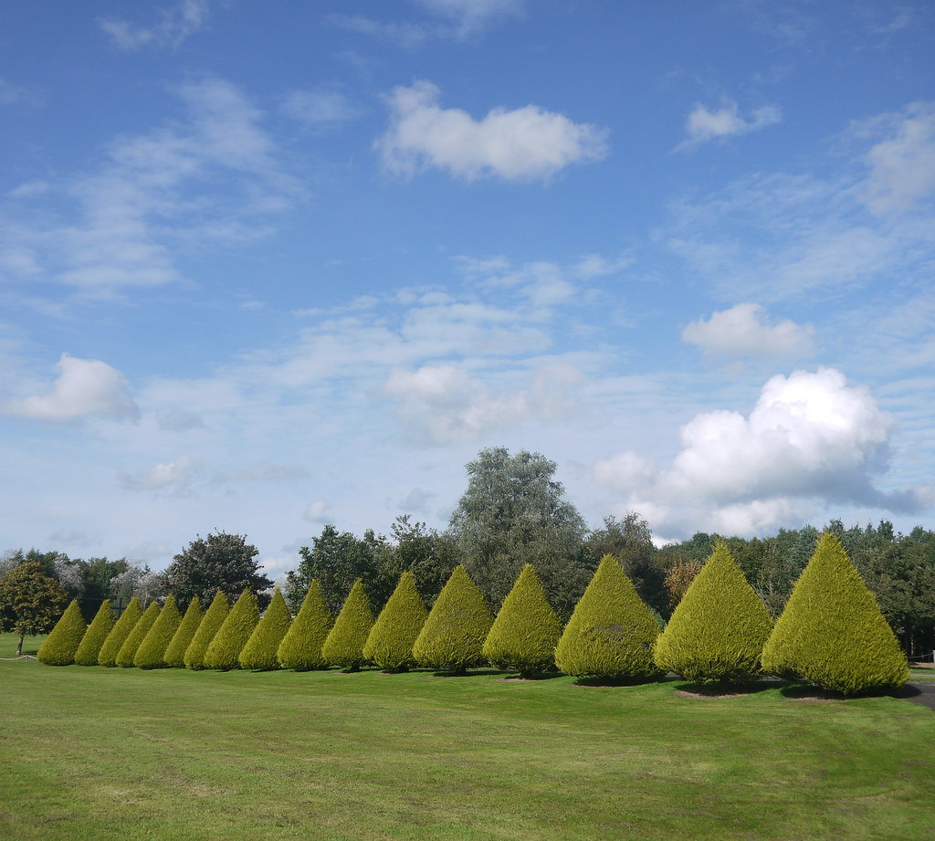
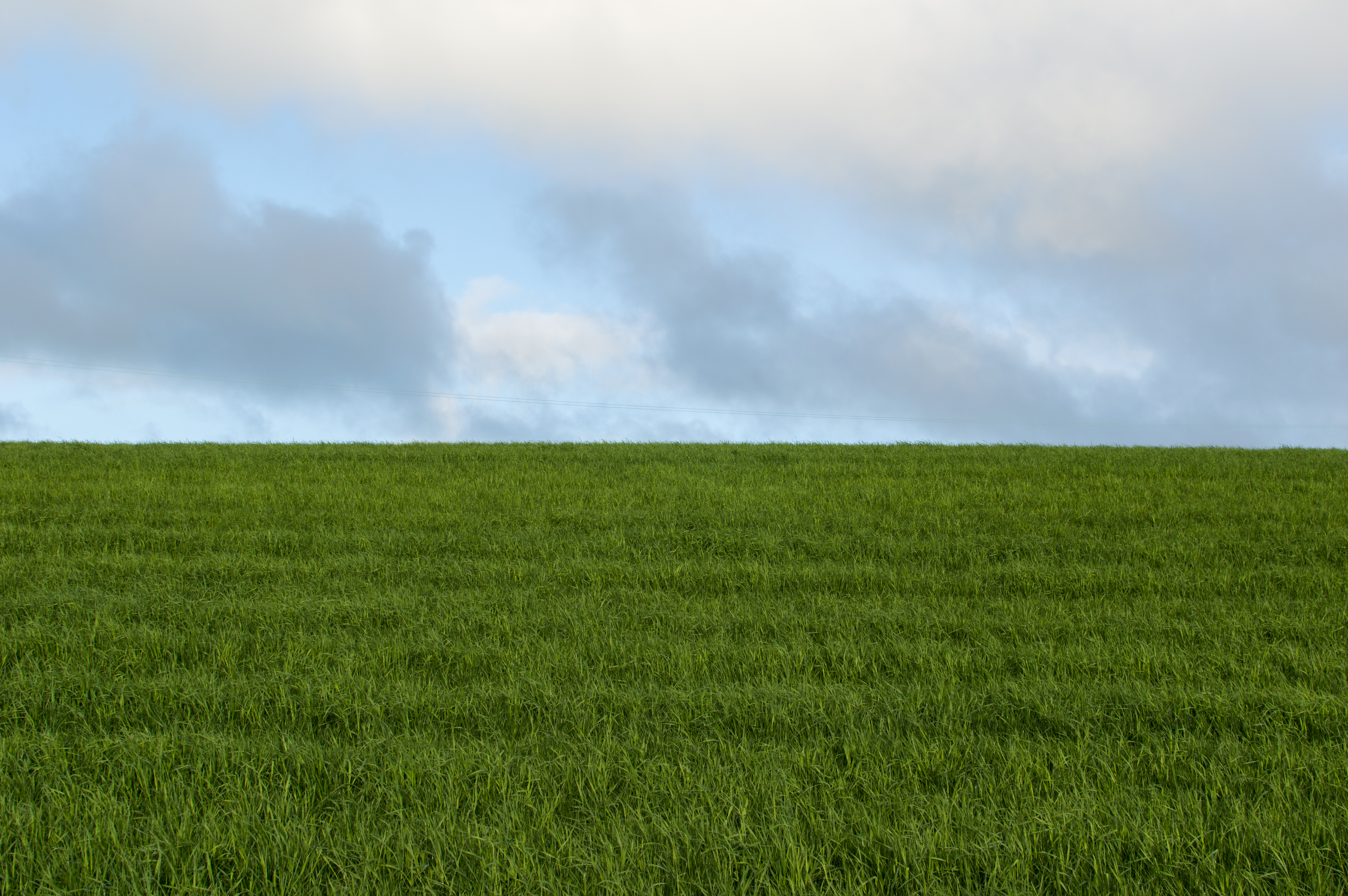
Green & Blue
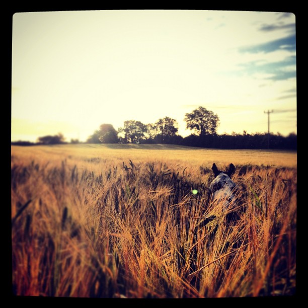
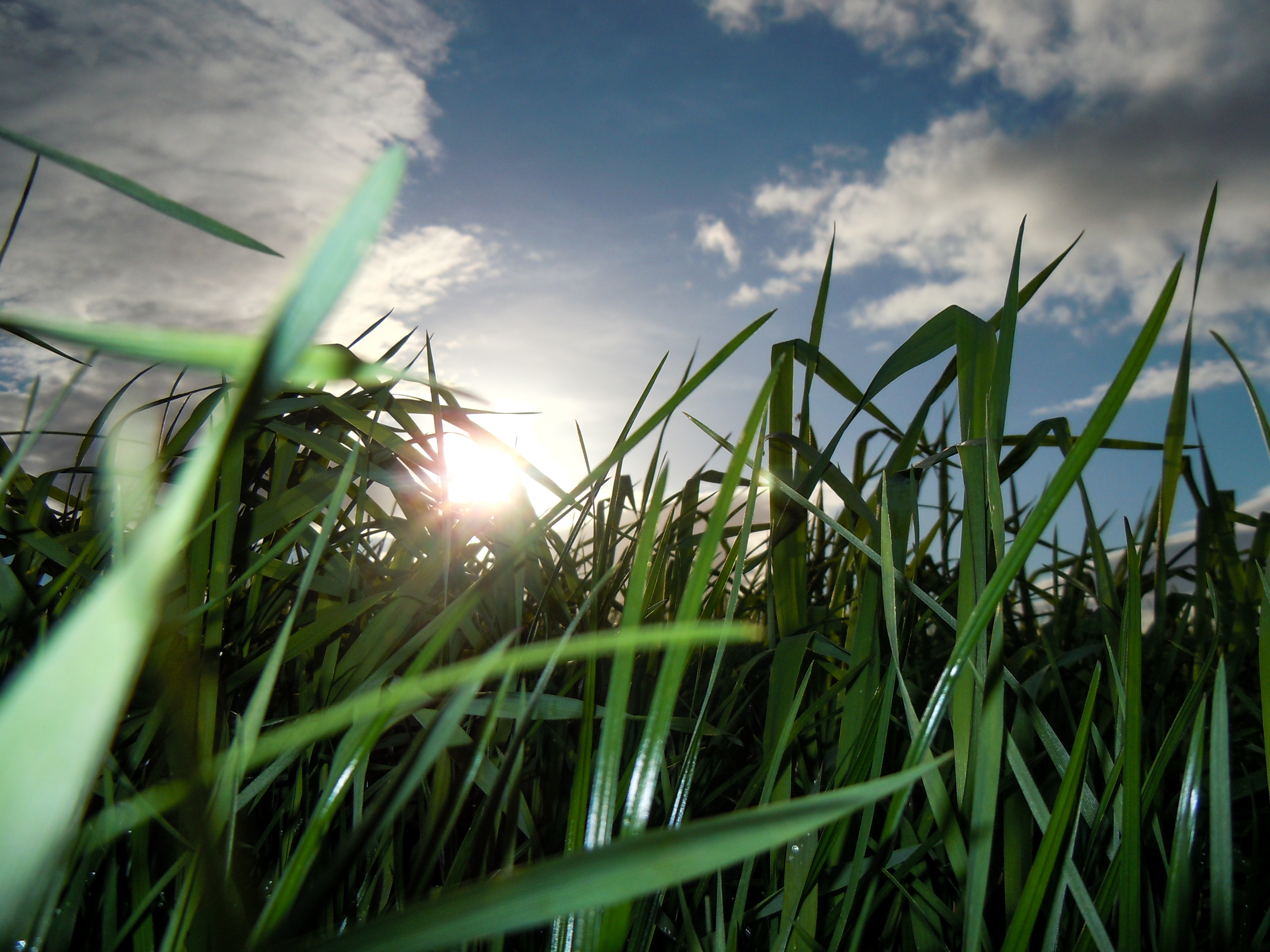
Chili loving the run in the barley #dogwalking #springer #springerspaniel #
64/365
Topographic Map of 9 Tamlaght Rd, Maghera BT46, UK
Find elevation by address:

Places near 9 Tamlaght Rd, Maghera BT46, UK:
Maghera
Bt53 7jt
Garvagh
Aghadowey
Causeway Coast And Glens
Glenullin Community Resource Centre
Bt53 6an
Bt51 5jd
Dale Farm Ltd
Cullybackey
Bt52 1xp
146 Fenaghy Rd
Galgorm Manor
Bt42 1fd
Bt52 1hj
Bt52 2jr
Northstone Materials
Coleraine
Rutledge Recruitment & Training Coleraine
Bt52 1ae
Recent Searches:
- Elevation of Corso Fratelli Cairoli, 35, Macerata MC, Italy
- Elevation of Tallevast Rd, Sarasota, FL, USA
- Elevation of 4th St E, Sonoma, CA, USA
- Elevation of Black Hollow Rd, Pennsdale, PA, USA
- Elevation of Oakland Ave, Williamsport, PA, USA
- Elevation of Pedrógão Grande, Portugal
- Elevation of Klee Dr, Martinsburg, WV, USA
- Elevation of Via Roma, Pieranica CR, Italy
- Elevation of Tavkvetili Mountain, Georgia
- Elevation of Hartfords Bluff Cir, Mt Pleasant, SC, USA