Elevation of 92- Coral Pkwy, Captain Cook, HI, USA
Location: United States > Hawaii > Hawaii County > Ocean View >

Longitude: -155.75682

Latitude: 19.1018149

Elevation: 847m / 2779feet

Barometric Pressure: 92KPa

Elevation Map:

elevation map of 92- Coral Pkwy, Captain Cook, HI, USA
Satellite Map:

Satellite map of 92- Coral Pkwy, Captain Cook, HI, USA
Related Photos:

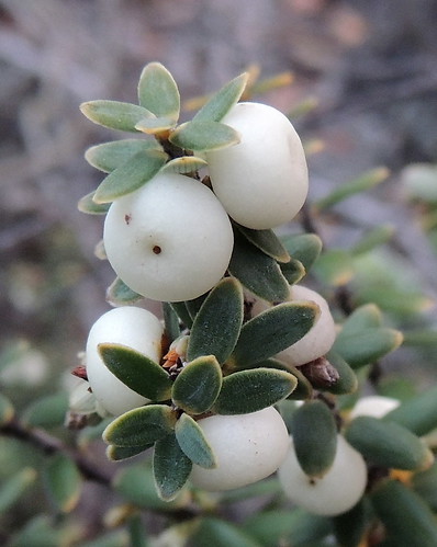
white fruit hawaii berry flora native ericaceae hi bigisland shrub kau pukiawe oceanviewestates leptecophylla leptecophyllatameiameiae
Pukiawe, Leptecophylla tameiameiae
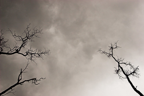
halloween tree sky nature clouds oceanview hawaii bigisland hove
Boo!
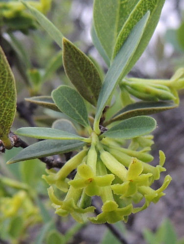
flower yellow hawaii flora native foliage hi bigisland shrub endemic kau 4petals akia thymelaeaceae oceanviewestates wikstroemia wikstroemiaphillyreifolia
Akia, Wikstroemia sp. (W. phillyreifolia?)
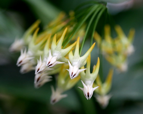
flower hawaii bigisland oceanview hoya shootingstar richwood asclepiadaceae naturesfinest kaudistrict hoyamultiflora richwoodgardennursery
Hoya multiflora
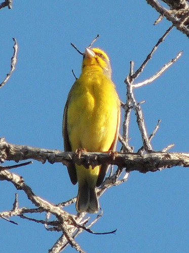
male bird yellow fauna hawaii hi bigisland canary nonnative kau fringillidae passeriformes serinus yellowfrontedcanary serinusmozambicus oceanviewestates
Yellow-fronted Canary (Serinus mozambicus)
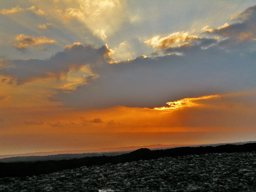
blue sunset orange hawaii lava bigisland oceanview
Sunset Over the Lava
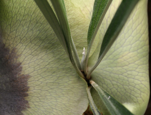
fern hawaii bigisland polypodiaceae oceanview staghornfern staghorn richwood platycerium platyceriumbifurcatum kaudistrict richwoodgardennursery
Platycerium bifurcatum
hawaii bigisland oceanview southpoint hugin
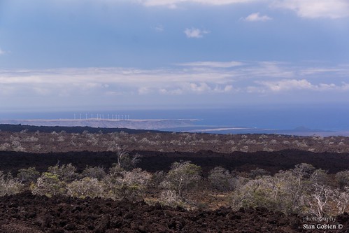
Ocean View - View of Pakini Nui Wind Farm at South Point
fern hawaii bigisland polypodiaceae oceanview staghornfern staghorn richwood platycerium platyceriumbifurcatum kaudistrict richwoodgardennursery
Platycerium bifurcatum
winter usa canon outdoors rebel hawaii december unitedstates bigisland oceanview hawaiitrip t3i 2014
Hawaii Sunrise
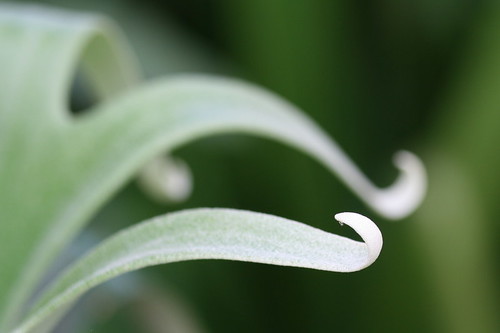
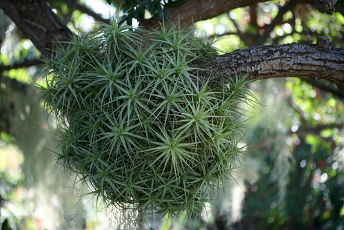
hawaii tillandsia bigisland bromeliad bromeliaceae oceanview richwood tillandsiaionantha kaudistrict richwoodgardennursery skyplant
Tillandsia ionantha
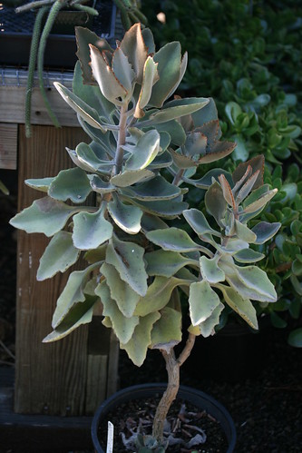
hawaii bigisland oceanview richwood kaudistrict richwoodgardennursery
Lamb's ear
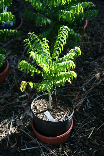
hawaii bigisland oceanview richwood sapindaceae kaudistrict mgambo majideazanguebarica richwoodgardennursery hawaiianpussywillow majidea
Majidea zanguebarica
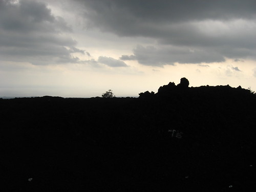
hawaii bigisland hilo kona
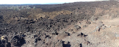
Mauna Loa Lava Flows from Early 1900s, Near Hawaiian Ocean View, Hawaii
orchid hawaii orchidaceae vanilla bigisland oceanview richwood vanillaorchid vanillaplanifolia kaudistrict richwoodgardennursery
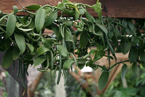
Vanilla planifolia
oceanview hawaii unitedstates us
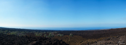
20160211_094404-3-Pano.jpg
hawaii bigisland hilo kona
Mauna Loa Lava Flows from Early 1900s, Near Hawaiian Ocean View, Hawaii
flower grass hawaii flora evergreen ハワイ myrtle flowering thatch hi bigisland 花 pili oceanview spear myrtaceae polymorpha ハワイ島 speargrass metrosiderospolymorpha tanglehead beardgrass heteropogoncontortus ‘ōhi‘alehua contortus heteropogon piligrass twistedbeardgrass floweringevergreentree オヒアレフア ハワイフトモモ treemetrosideros アカヒゲガヤ 赤髭茅
#8680 sign at Ocean View lookout: Plant regrowth on new lava
hawaii bigisland hilo kona
Mauna Loa Lava Flows from Early 1900s, Near Hawaiian Ocean View, Hawaii
island hawaii unitedstates hawaï
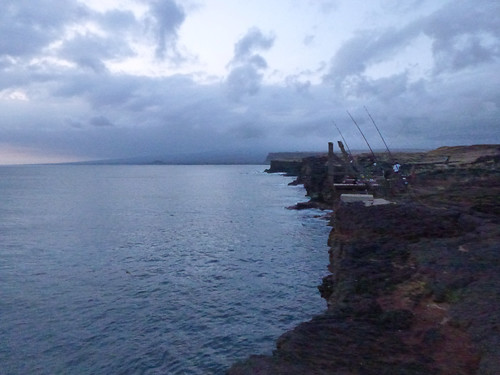
View on South point, Big Island
flower hawaii bigisland oceanview pachiraaquatica richwood bombacaceae malabarchestnut kaudistrict richwoodgardennursery
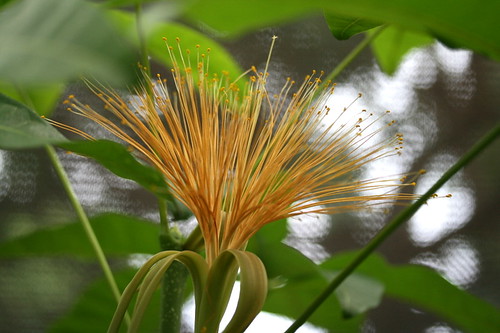
Pachira aquatica
2008-07-04 at 08-11-35
ocean camping camp beach night hawaii nissan 4wd bigisland xterra fourwheeldrive milkyway roadtothesea astrolandscape
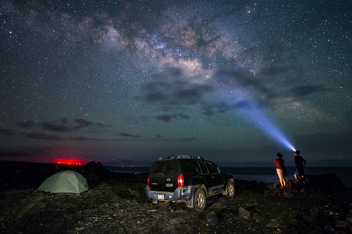
Campsite Milky Way
field hawaii may 2009 southpoint may2009
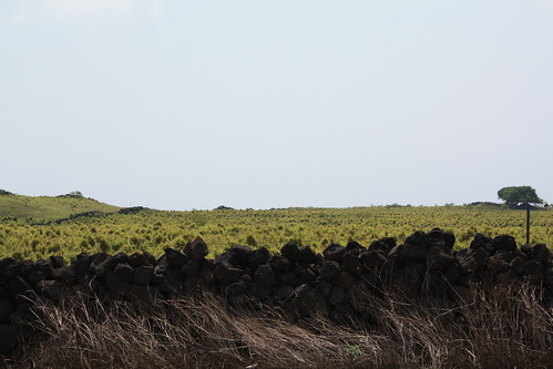
Fields near Southpoint
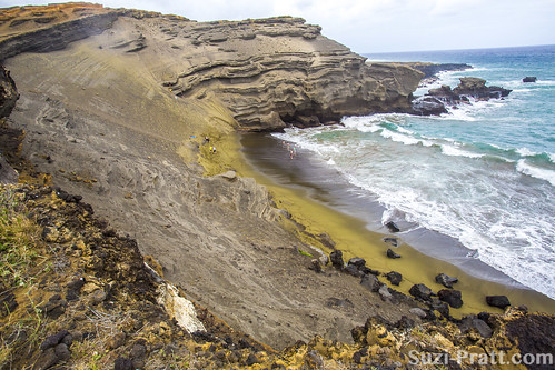
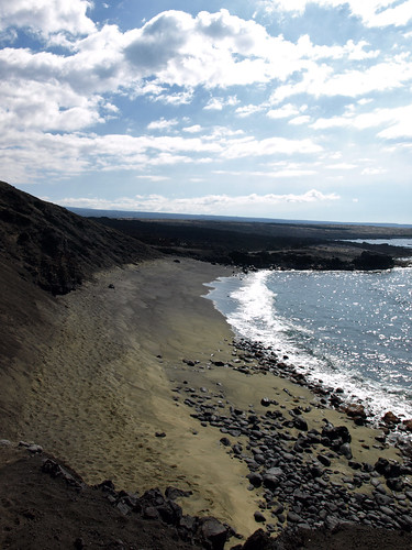
ocean travel beach nature beauty island hawaii explore tropical bigisland greensand bigislandhawaii greensandbeach hawaiibeach travelphotography landscapephotography hawaiigreensandbeach
Green Sand Beach @ Big Island, Hawaii
valencia square squareformat iphoneography instagramapp uploaded:by=instagram
Road to da sea.
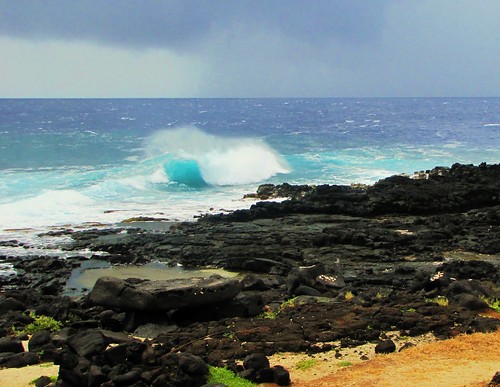
Ominious skies and heavy surf at South Point
usa hawaii bigisland etatsunis
Hawaii_Big.Island_024
ocean park old black cold texture tourism nature field rock landscape flow island volcano hawaii lava big natural pacific outdoor scenic surface national area geology puu volcanic eruption magma basalt geological 1887 kamaoa kahuenaha
Lava Flow of 188
geotagged mapprinclude geolat190186 geolong15583553333333333
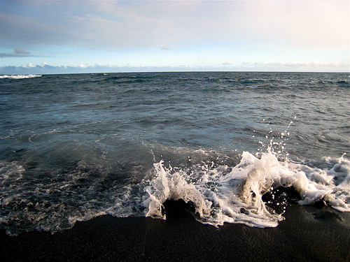
Surf at the end of suck road
square squareformat normal iphoneography instagramapp uploaded:by=instagram foursquare:venue=4c829fcdd92ea0938d964c72
We Trusted The Locals And Took The Bumpy Ride To The Green San Beach - Best Choice Yet!
clouds hawaii coastline punaluu mamalahoahighway
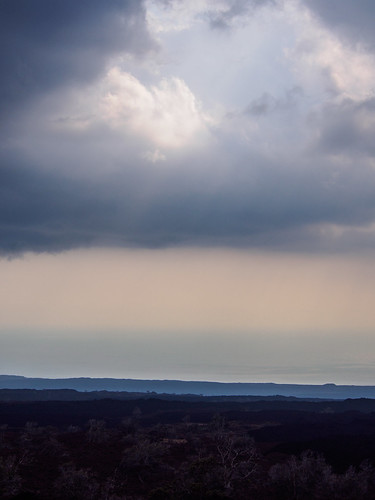
hole in the heavens
landscape hawaii rocks
IMG_2466.jpg
broken point island hawaii big wind farm south bigisland ka 2011 lae kamaoa
Hawaii 2011
ocean hawaii sand pacific
green sand beach - road to the sea - ka'u - big island - hawaii
square squareformat iphoneography instagramapp uploaded:by=instagram foursquare:venue=4c7a3047566db60cdd59470e
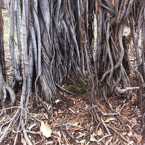
Bodhi tree.
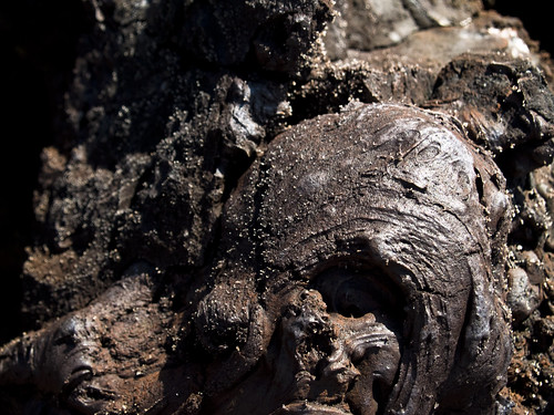
hawaii bigisland familyvacation lovalavaland
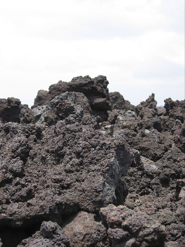
twisted rock