Elevation of 87 Milo White Rd, Jericho, VT, USA
Location: United States > Vermont > Chittenden County > Jericho >
Longitude: -72.963178
Latitude: 44.4392774
Elevation: 314m / 1030feet
Barometric Pressure: 98KPa
Elevation Map:
Satellite Map:
Related Photos:

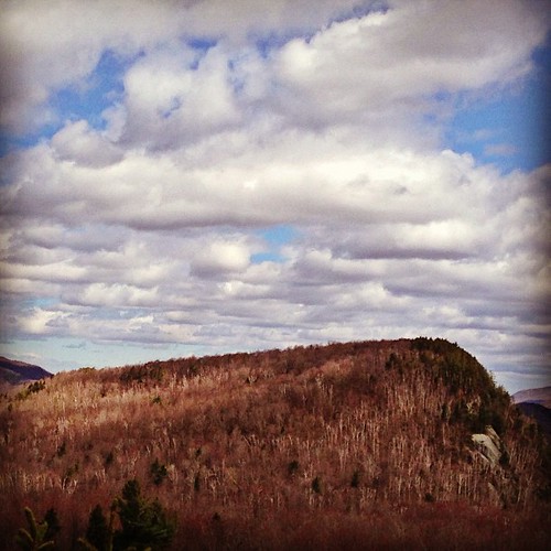
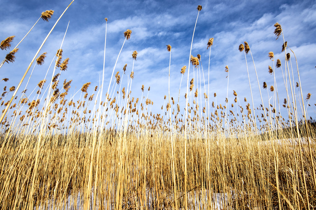
Sunset Ridge 1
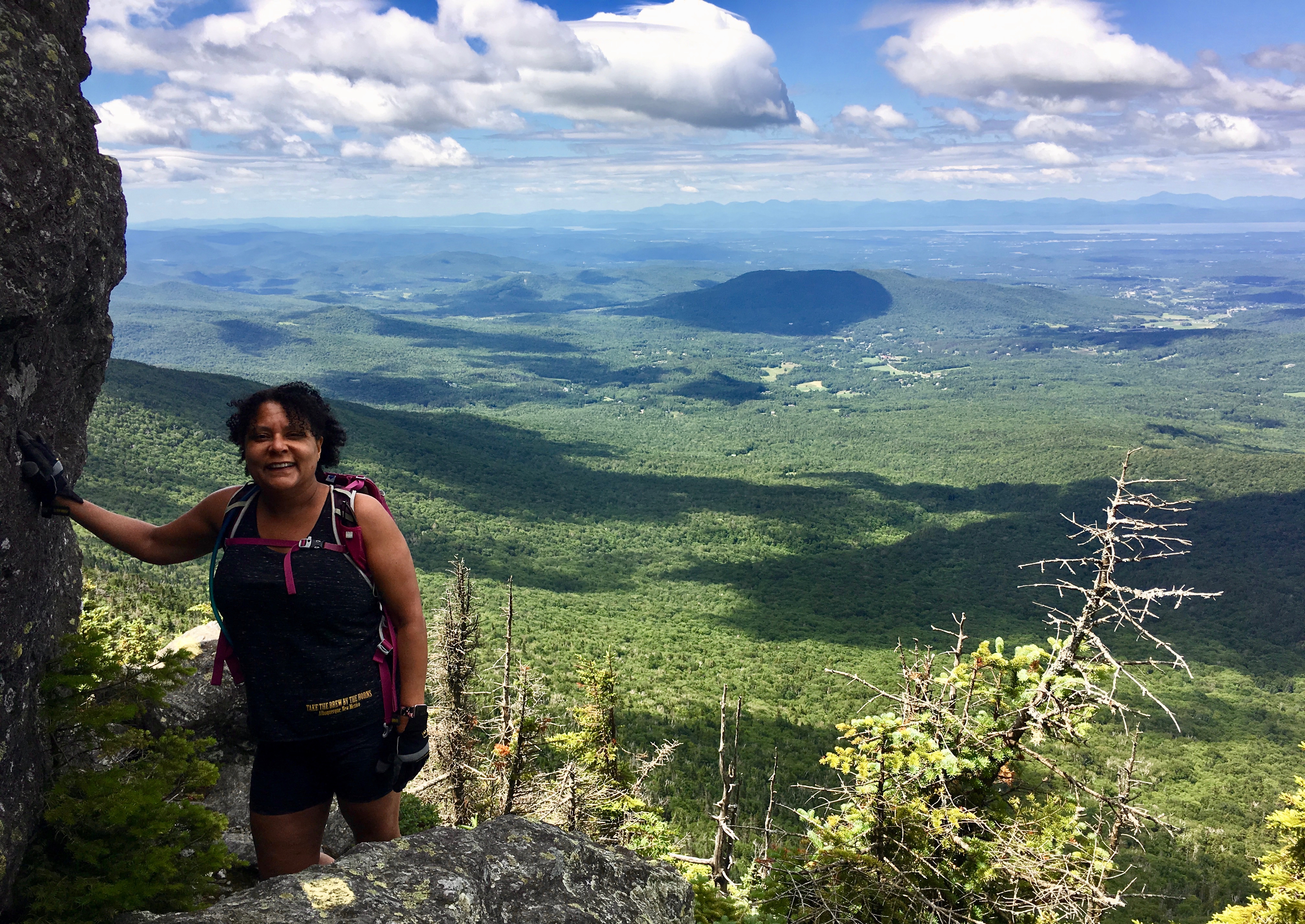
Mel w/View
Bolton Potholes(2)

US Airways Express @ BTV Burlington Airport

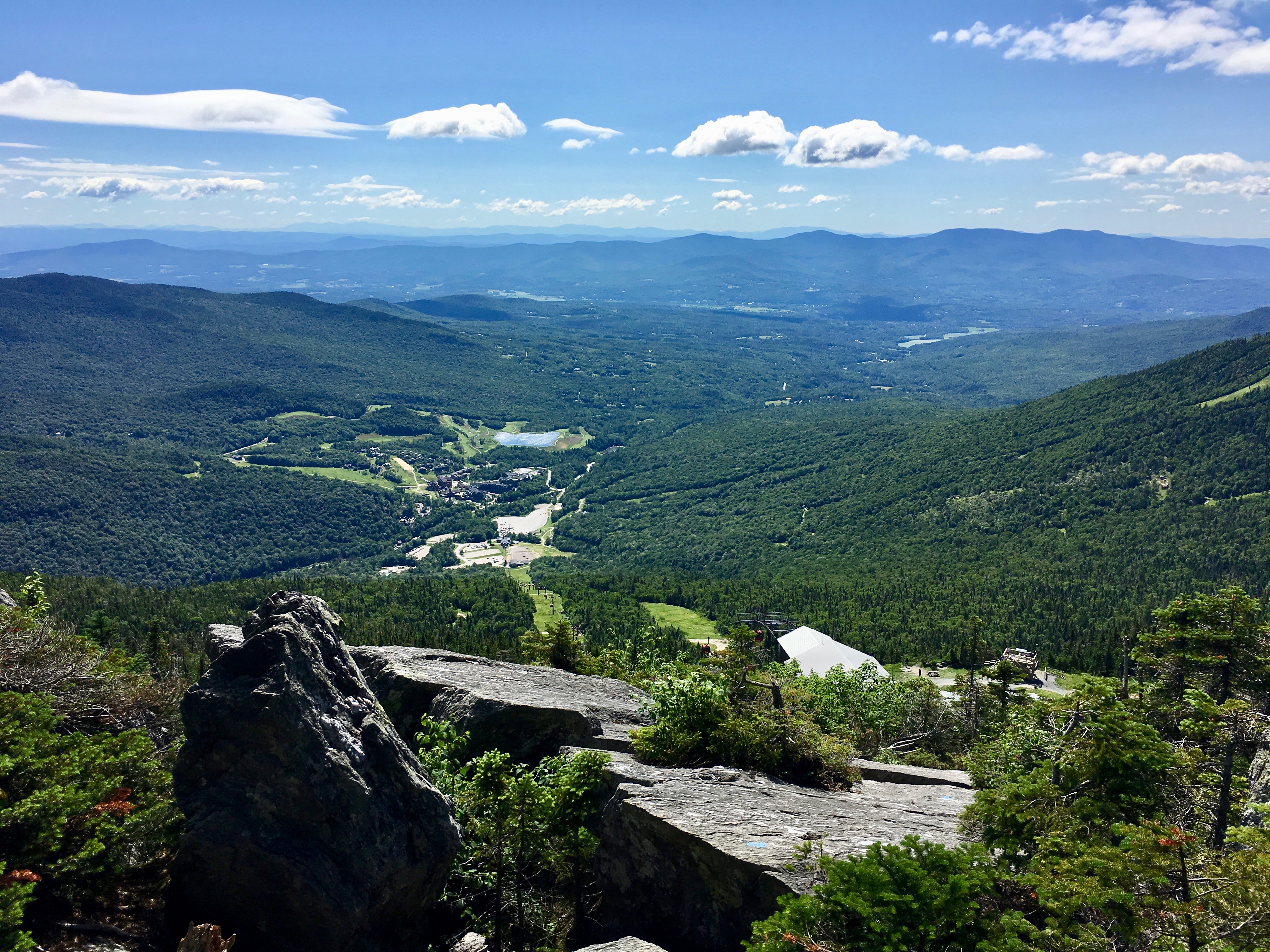
Mt. Mansfield's Visitor Center
19/52 - Office View
Vermont driving views
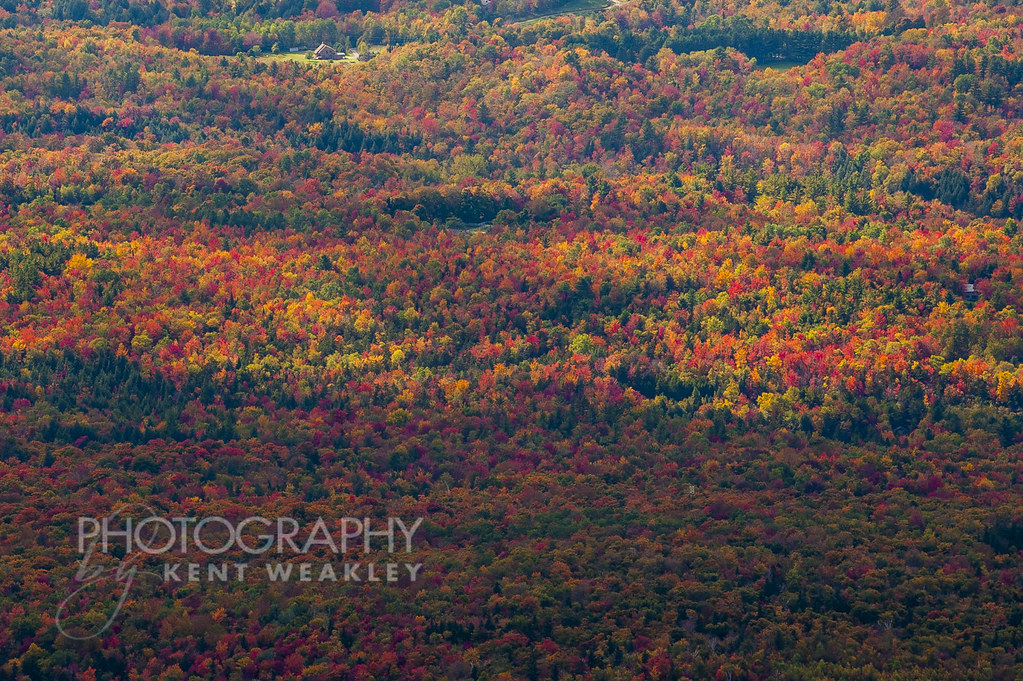
Omni Autumn
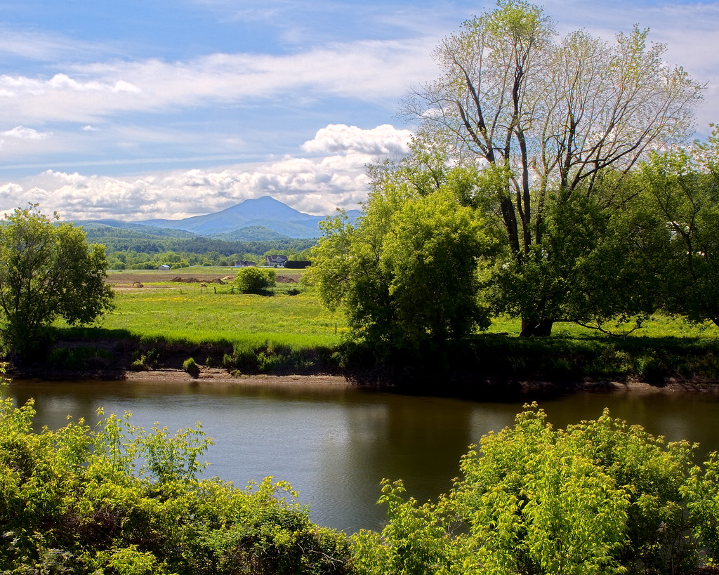
River View

Champlain View
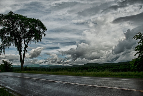
After the Rain

Winooski River
The view! #Vagcation4 #Snatchlorette #Setteingdown
Fresh air, incredible view!
View from the Deck
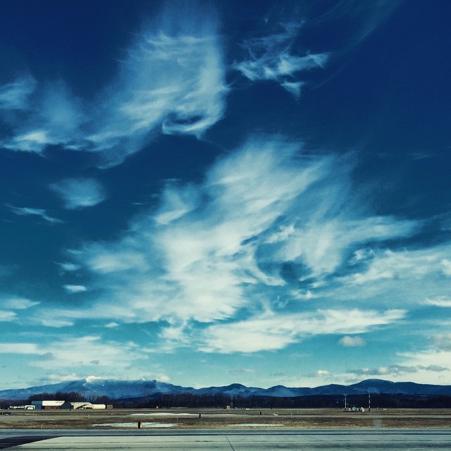
Burlington International Airport.
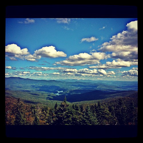
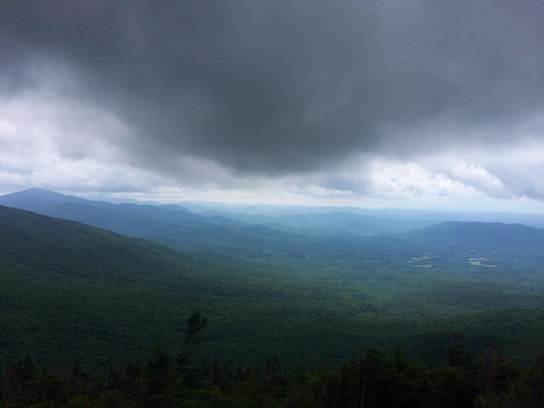
View from the fire tower
Muddy Brook Park - Sundown (2)
The Old Red Mill Historical Society and Museum
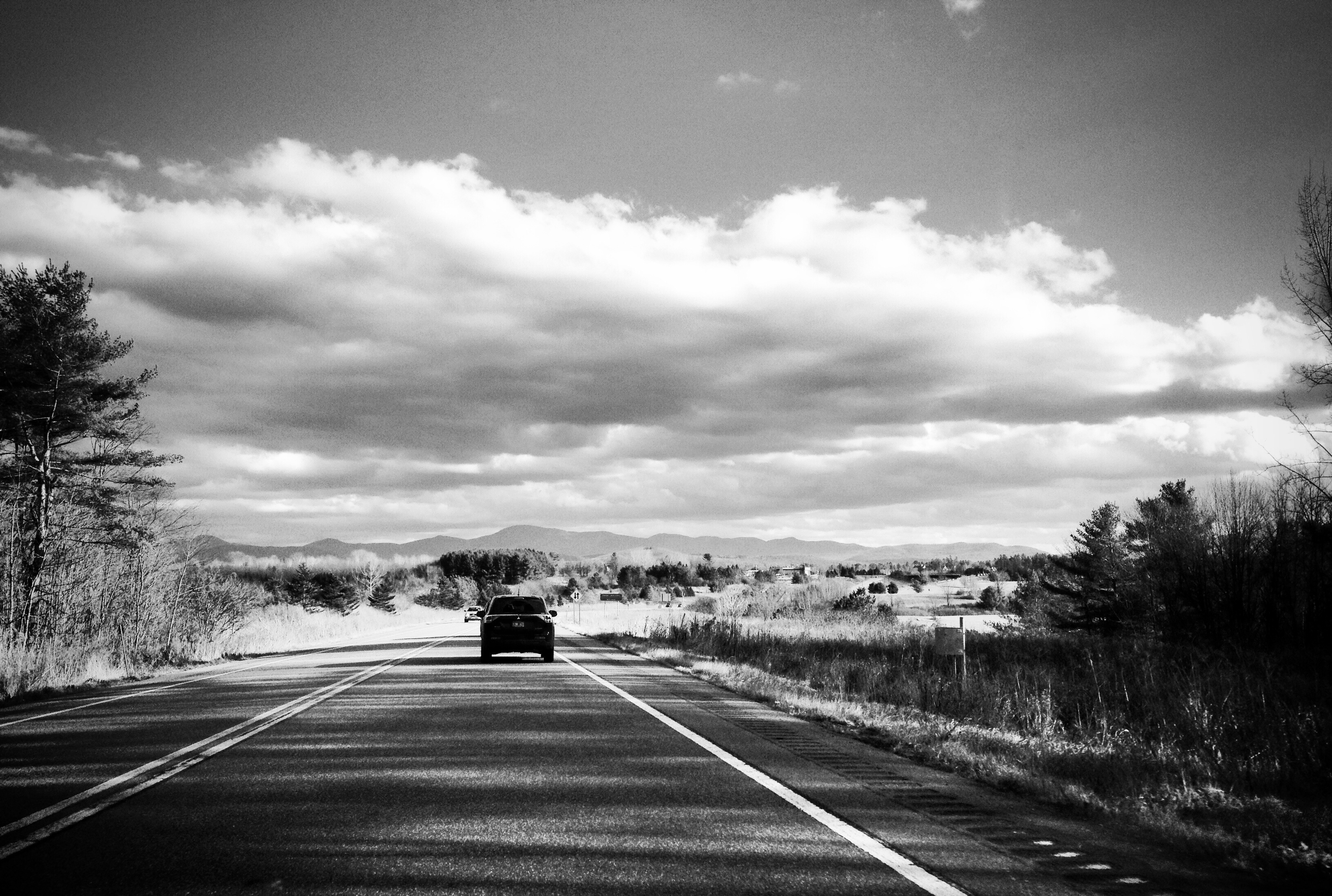
View From The Highway
The North Star
low perspective

Mt. Mansfield Through The Notch

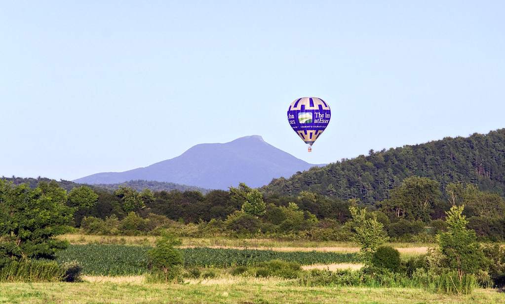
From Hump to Mount Mansfield

Gorgeous Day

Fairground Sunset

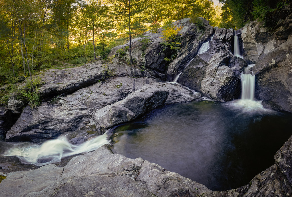
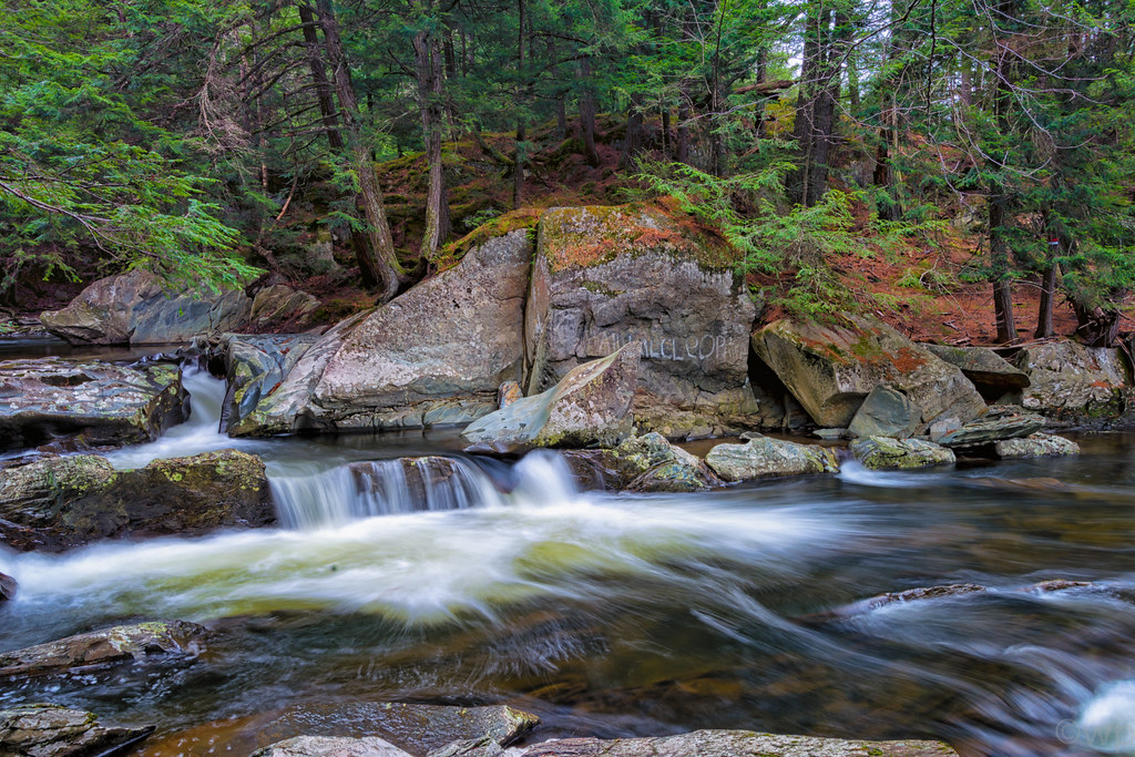
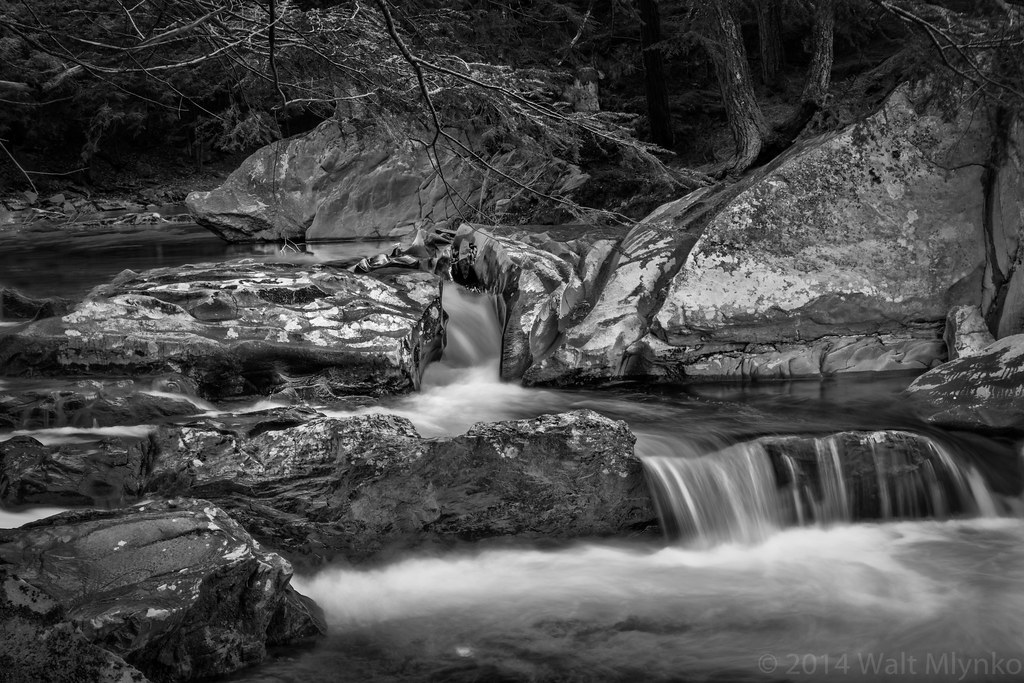
Mill Brook Falls
Vermont_D718576-Edit-Edit.jpg
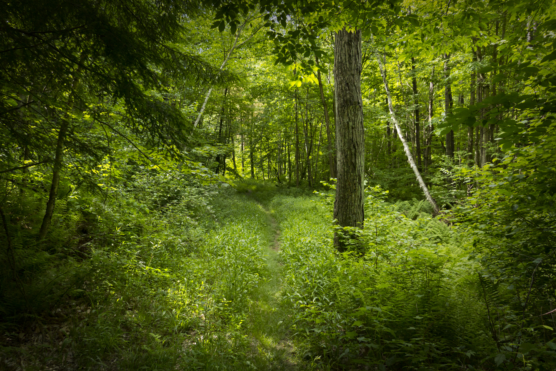
Deep Green Vermont
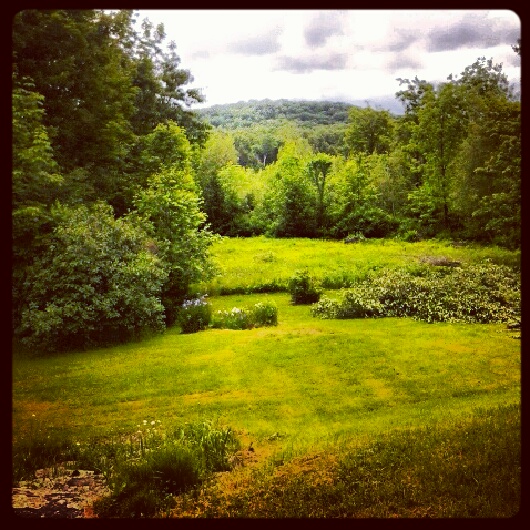
VT backyard

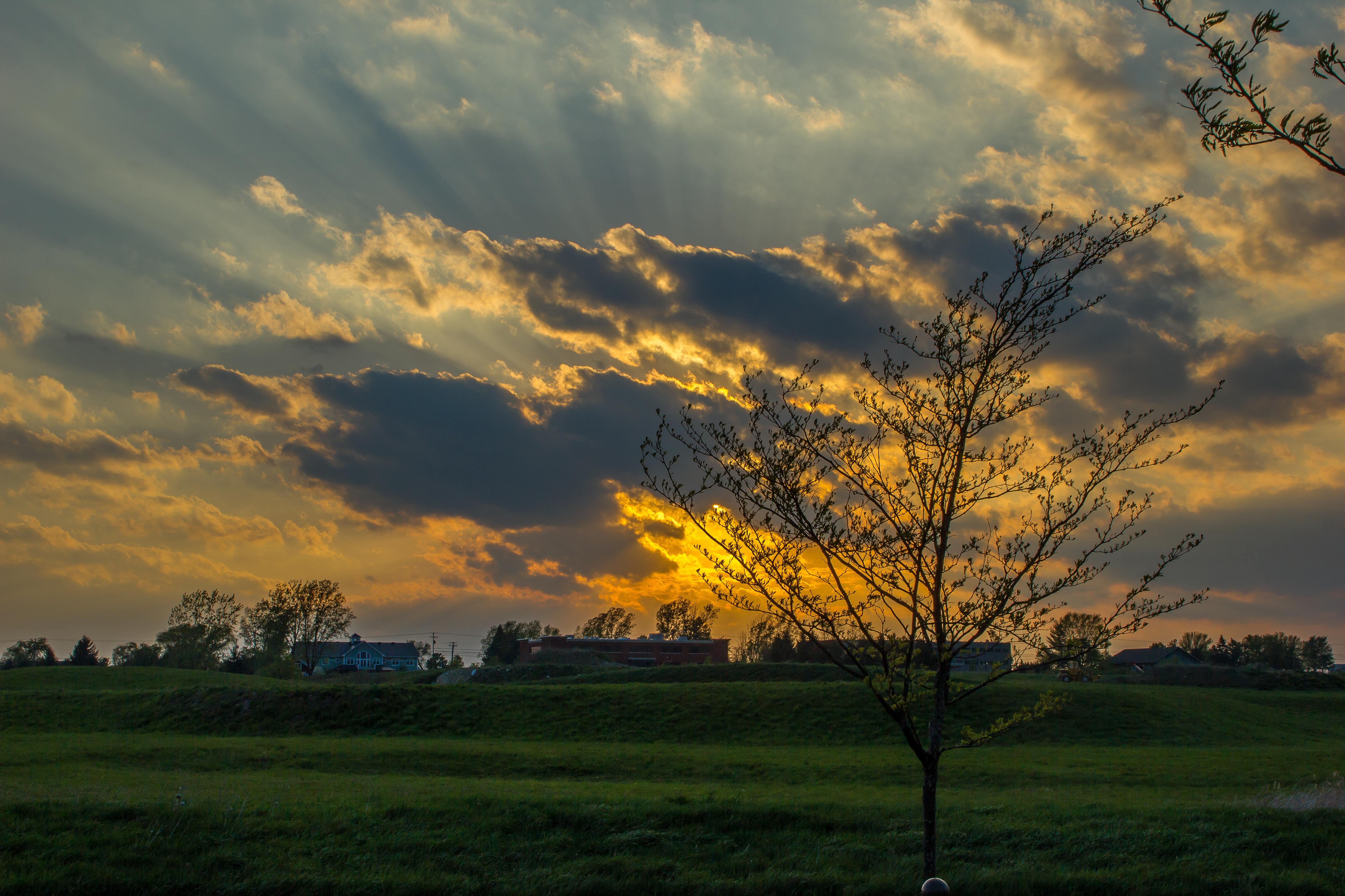
Williston Sunset
Stowe Resort

This is Vermont
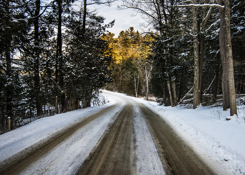
road home
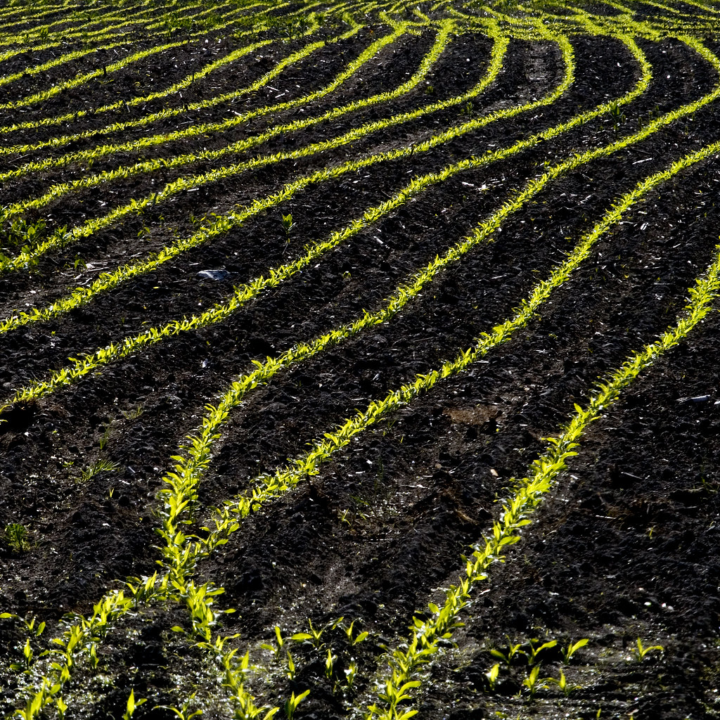
New Corn in the Morning Sun
Vermont_DSC0862-Edit-Edit.jpg
A little north of Montpelier
Indian Brook

More Drops
Topographic Map of 87 Milo White Rd, Jericho, VT, USA
Find elevation by address:

Places near 87 Milo White Rd, Jericho, VT, USA:
18 Milo White Rd
83 Fields Ln
28 Kettle Creek Rd
8 Crampton Rd
Nashville Rd, Jericho, VT, USA
251 Hidden Pines Cir
9 Jericho Center Cir, Jericho, VT, USA
6 Old Orchard Ln
Birch Lane
Richmond
100 W Main St
20 Lily Pond Cir
34 Leary Rd
24 Bradley Bow Rd
Chittenden County
Dugway Road
Huntington Gorge
Wes White Hill
2374 Dugway Rd
1324 Kenyon Rd
Recent Searches:
- Elevation of Corso Fratelli Cairoli, 35, Macerata MC, Italy
- Elevation of Tallevast Rd, Sarasota, FL, USA
- Elevation of 4th St E, Sonoma, CA, USA
- Elevation of Black Hollow Rd, Pennsdale, PA, USA
- Elevation of Oakland Ave, Williamsport, PA, USA
- Elevation of Pedrógão Grande, Portugal
- Elevation of Klee Dr, Martinsburg, WV, USA
- Elevation of Via Roma, Pieranica CR, Italy
- Elevation of Tavkvetili Mountain, Georgia
- Elevation of Hartfords Bluff Cir, Mt Pleasant, SC, USA