Elevation of 28 Kettle Creek Rd, Jericho, VT, USA
Location: United States > Vermont > Chittenden County > Jericho >
Longitude: -72.976152
Latitude: 44.459627
Elevation: 197m / 646feet
Barometric Pressure: 99KPa
Elevation Map:
Satellite Map:
Related Photos:

Mt. Mansfield's Visitor Center

19/52 - Office View

Mount Mansfield
The Old Round Church (1813) – organ from above
Old Red Mill

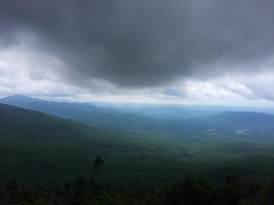
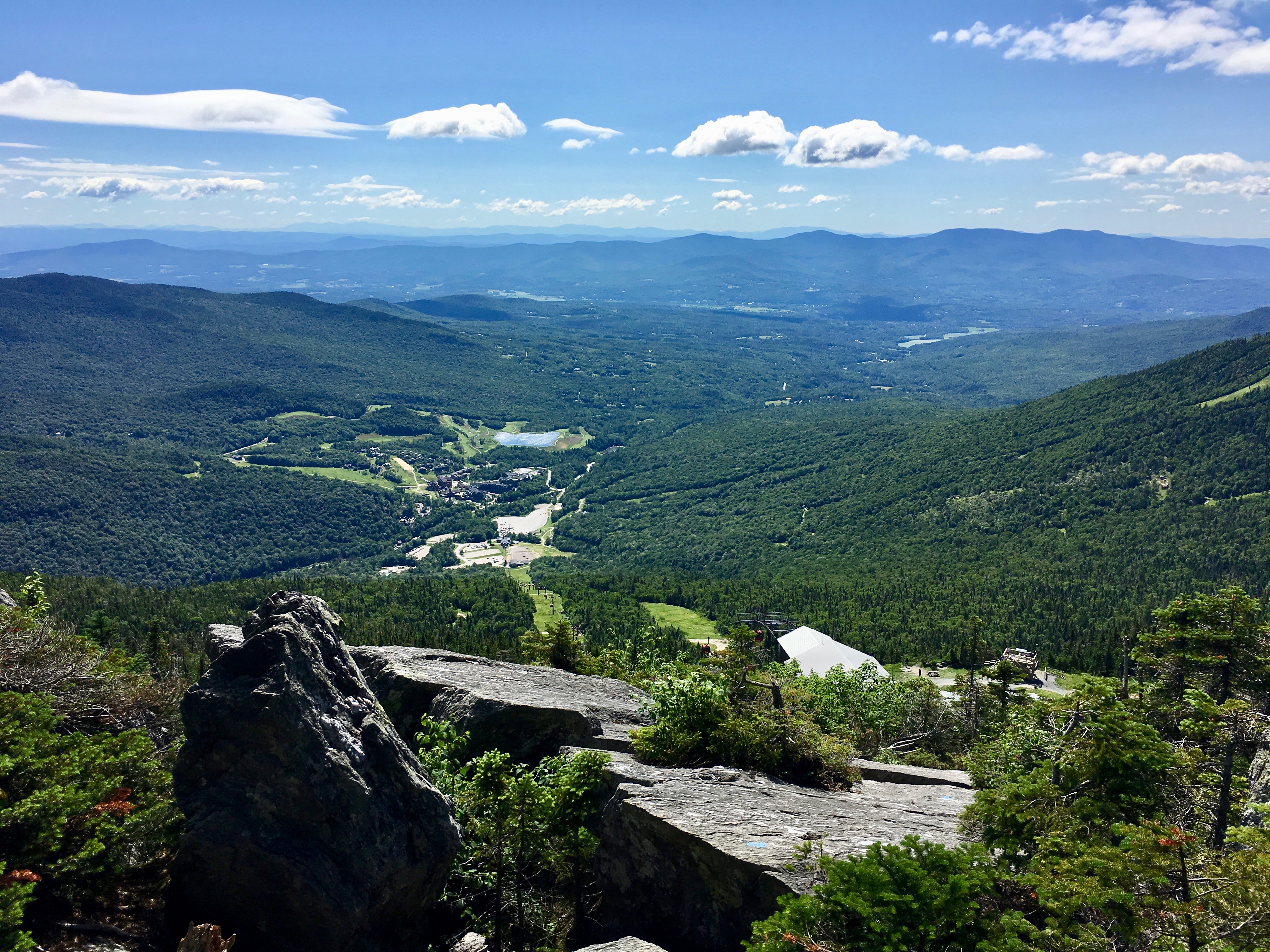
View From Mount Mansfield

Sunset Ridge 1
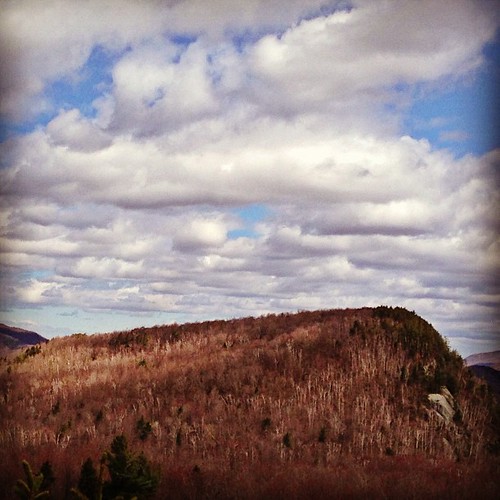
Hills of Vermont
Mel w/View
Bolton Potholes(2)

US Airways Express @ BTV Burlington Airport
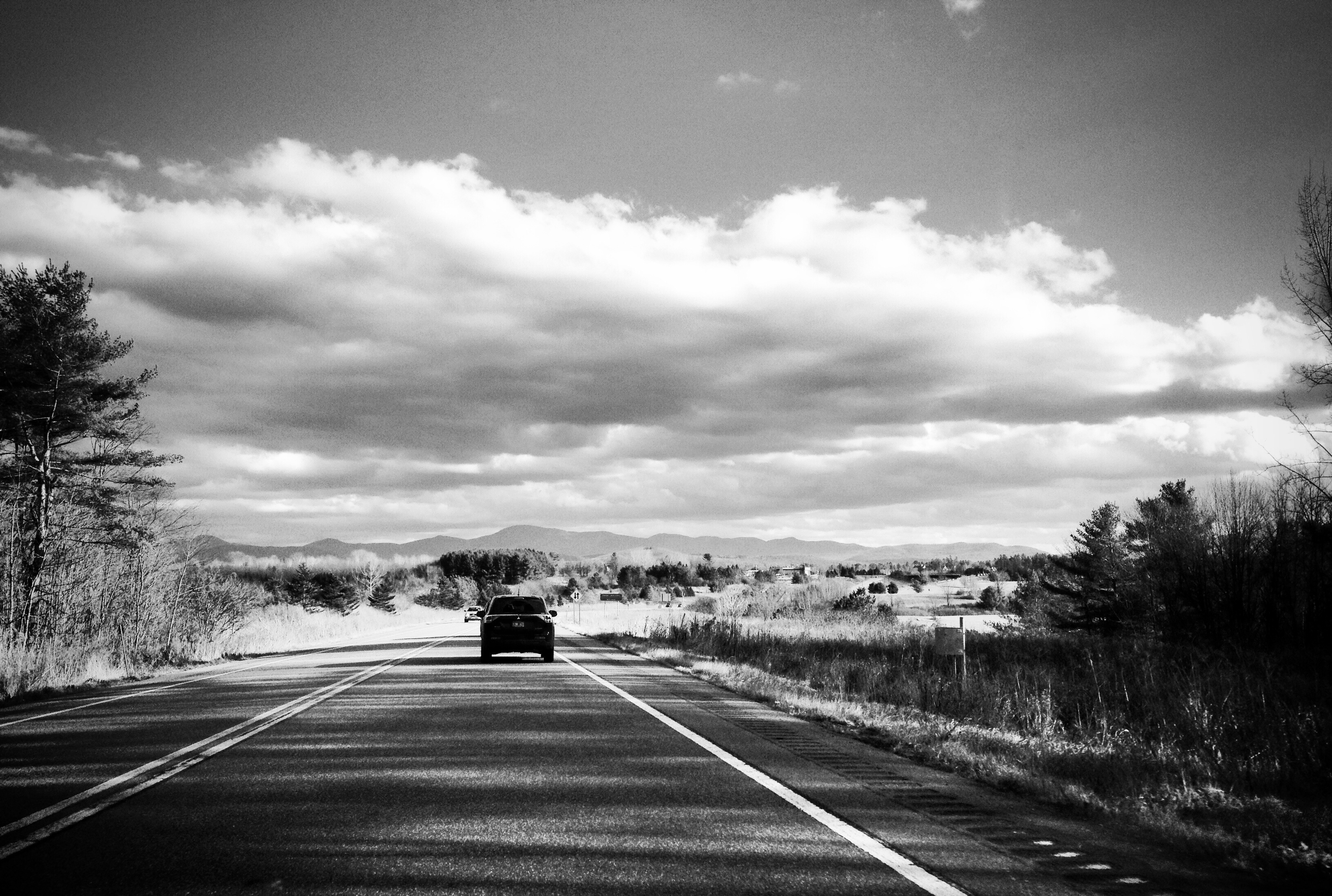
Vermont driving views
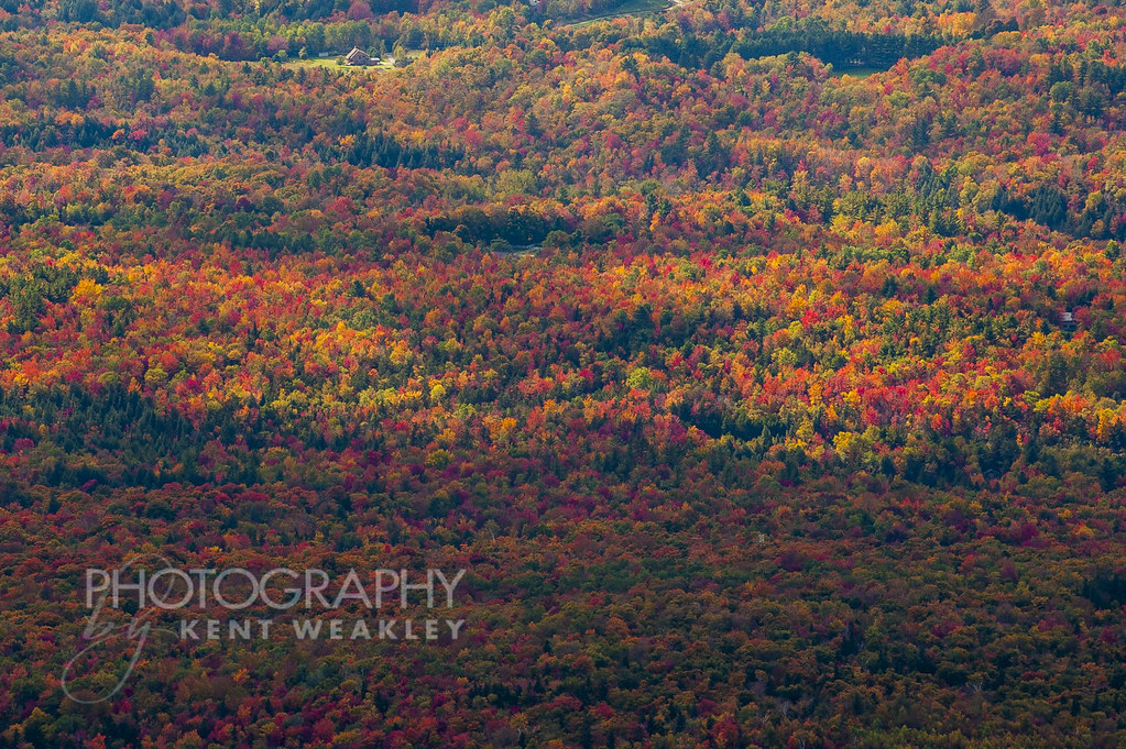
Omni Autumn
River View

Champlain View
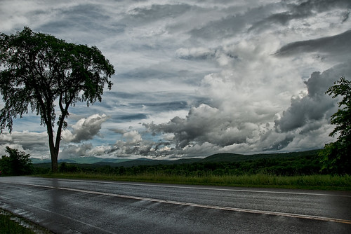
After the Rain

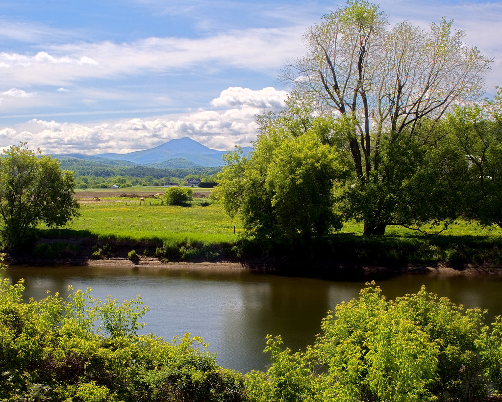
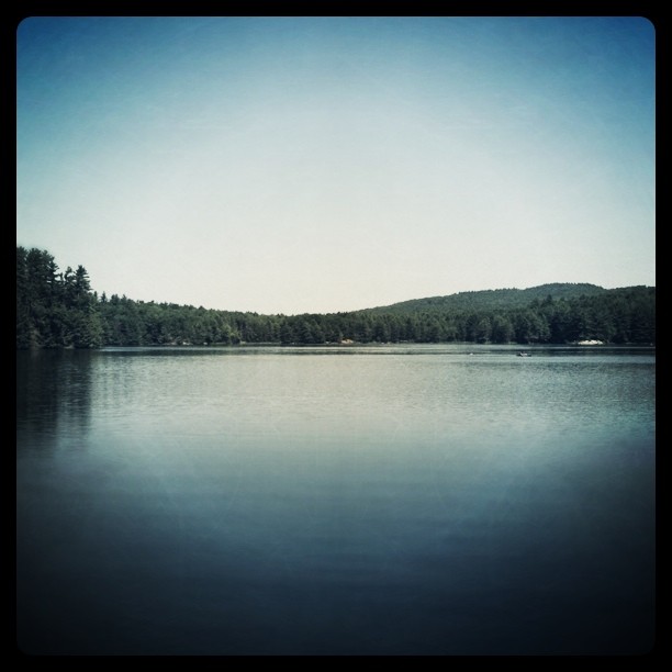
Winooski River
The view! #Vagcation4 #Snatchlorette #Setteingdown
Fresh air, incredible view!
View from the Deck

View from the top of the Stowe Gondola
low perspective

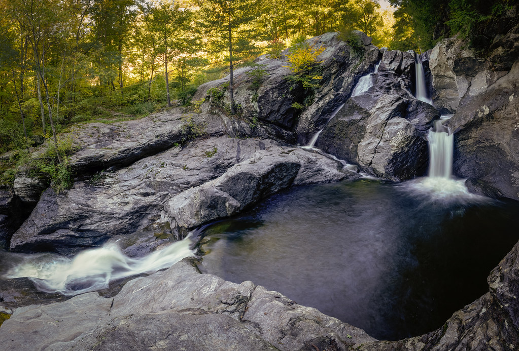
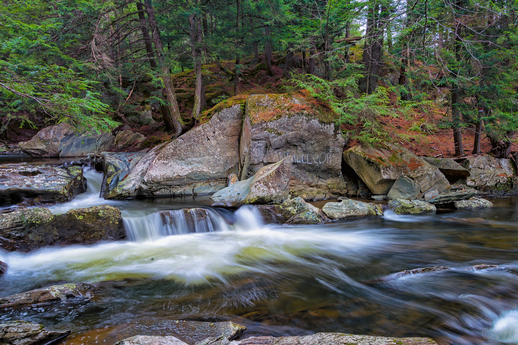
Mill Brook Falls
I can see my house from here

Williston Sunset

This is Vermont
Vermont_D718863-Edit.jpg
road home

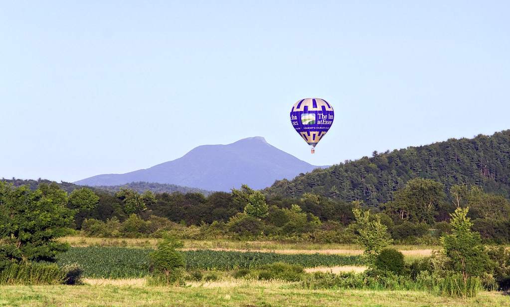
Camel's Hump from Kenyon Rd.

Fairground Sunset

Mansfield sunset #fallinvt @thisisvt #latergram #vt
Vermont_D718576-Edit-Edit.jpg
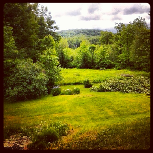
VT backyard
Stowe Resort
Vermont_DSC0862-Edit-Edit2.jpg

Horse and Sky
Indian Brook

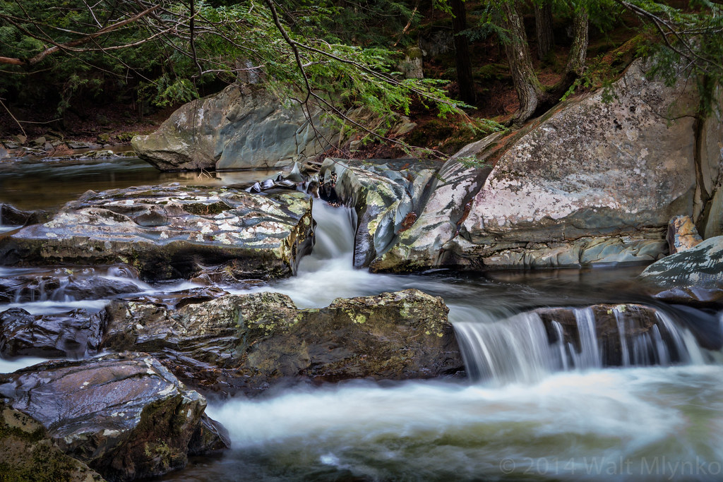
More Drops
Topographic Map of 28 Kettle Creek Rd, Jericho, VT, USA
Find elevation by address:

Places near 28 Kettle Creek Rd, Jericho, VT, USA:
9 Jericho Center Cir, Jericho, VT, USA
Birch Lane
8 Crampton Rd
6 Old Orchard Ln
18 Milo White Rd
87 Milo White Rd
83 Fields Ln
251 Hidden Pines Cir
Nashville Rd, Jericho, VT, USA
24 Bradley Bow Rd
100 W Main St
Richmond
34 Leary Rd
Chittenden County
20 Lily Pond Cir
Catamount Outdoor Family Center
1324 Kenyon Rd
211 Stonehill Rd
15 Ian Pl
Lefebvre Lane
Recent Searches:
- Elevation of Corso Fratelli Cairoli, 35, Macerata MC, Italy
- Elevation of Tallevast Rd, Sarasota, FL, USA
- Elevation of 4th St E, Sonoma, CA, USA
- Elevation of Black Hollow Rd, Pennsdale, PA, USA
- Elevation of Oakland Ave, Williamsport, PA, USA
- Elevation of Pedrógão Grande, Portugal
- Elevation of Klee Dr, Martinsburg, WV, USA
- Elevation of Via Roma, Pieranica CR, Italy
- Elevation of Tavkvetili Mountain, Georgia
- Elevation of Hartfords Bluff Cir, Mt Pleasant, SC, USA