Elevation of 84 Bowhill Grove, Leicester LE5 2PE, UK
Location: United Kingdom > Leicestershire > Leicester >
Longitude: -1.0525674
Latitude: 52.640321
Elevation: 98m / 322feet
Barometric Pressure: 100KPa
Elevation Map:
Satellite Map:
Related Photos:
15 - 46.
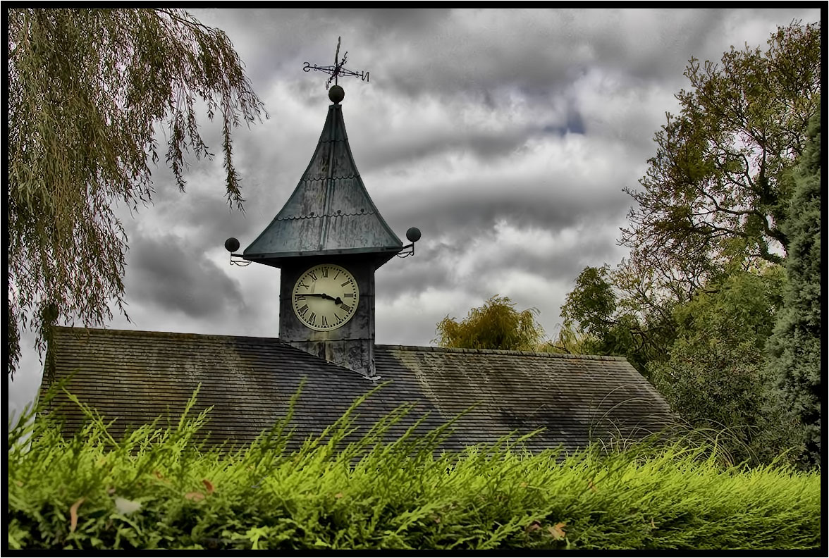
Under The Clouds.
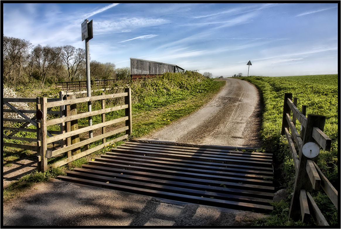
The Cattle Grid.
My Morning Walk.
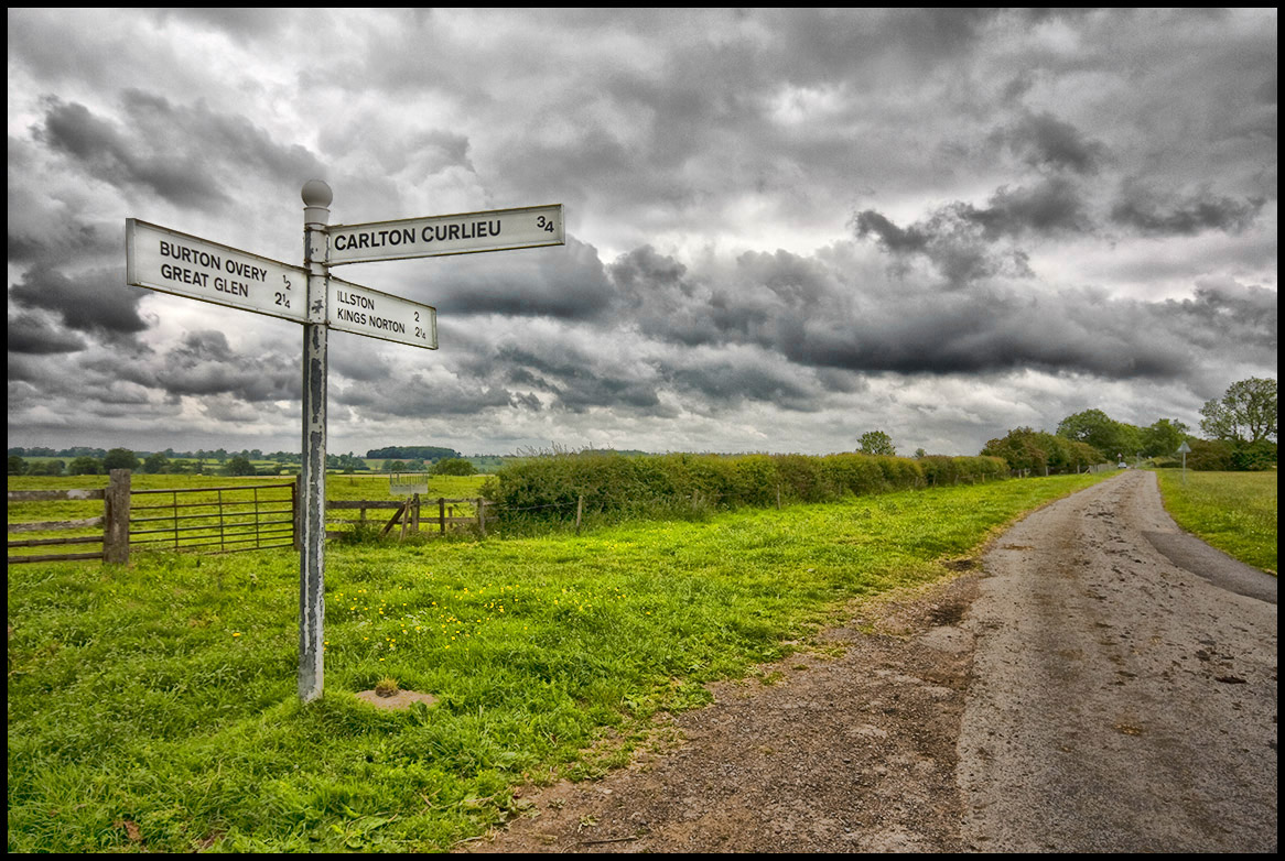
The Road Sign.

Bradgate Park
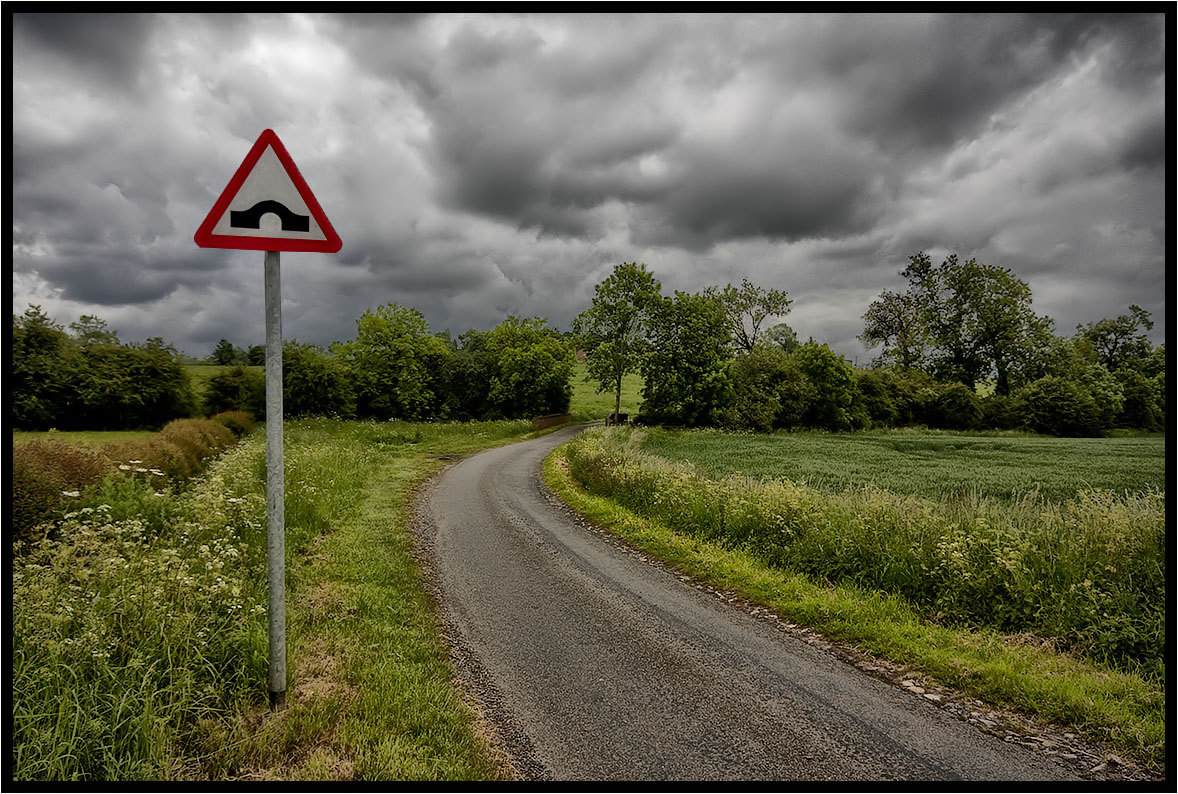
The Hump................
The Photographer.
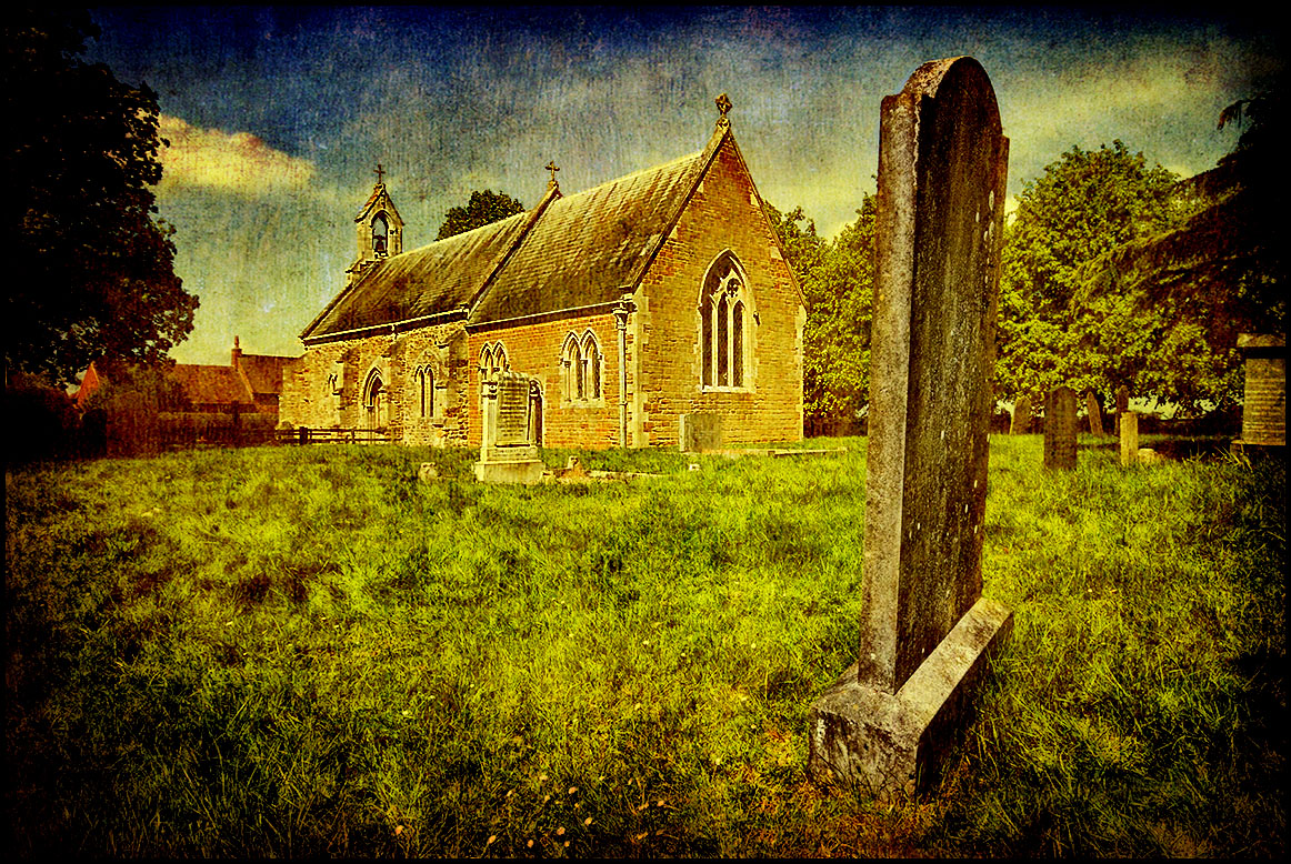
Tombstone.

Misty Sunrise
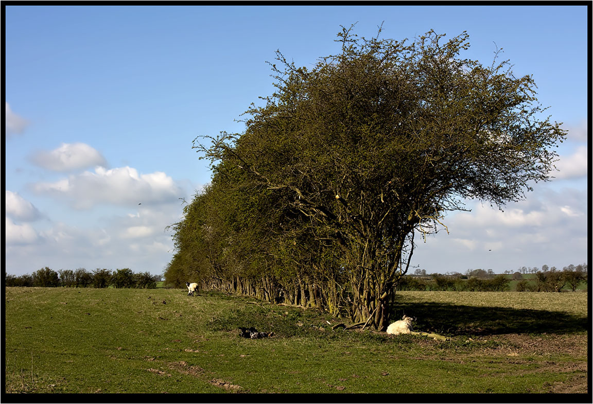
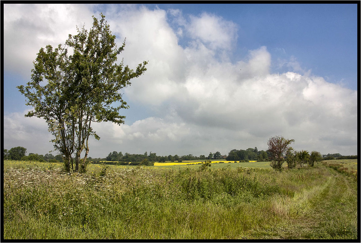
The Hawthorn Hedge.

Watermead (for a change)
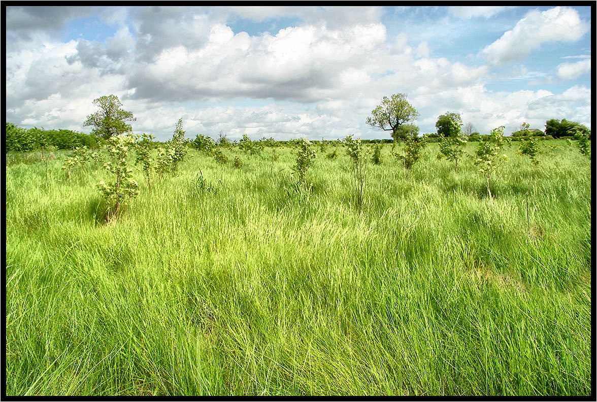
New woodland.
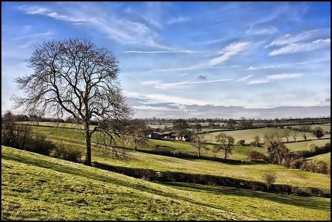
The Old Tree.
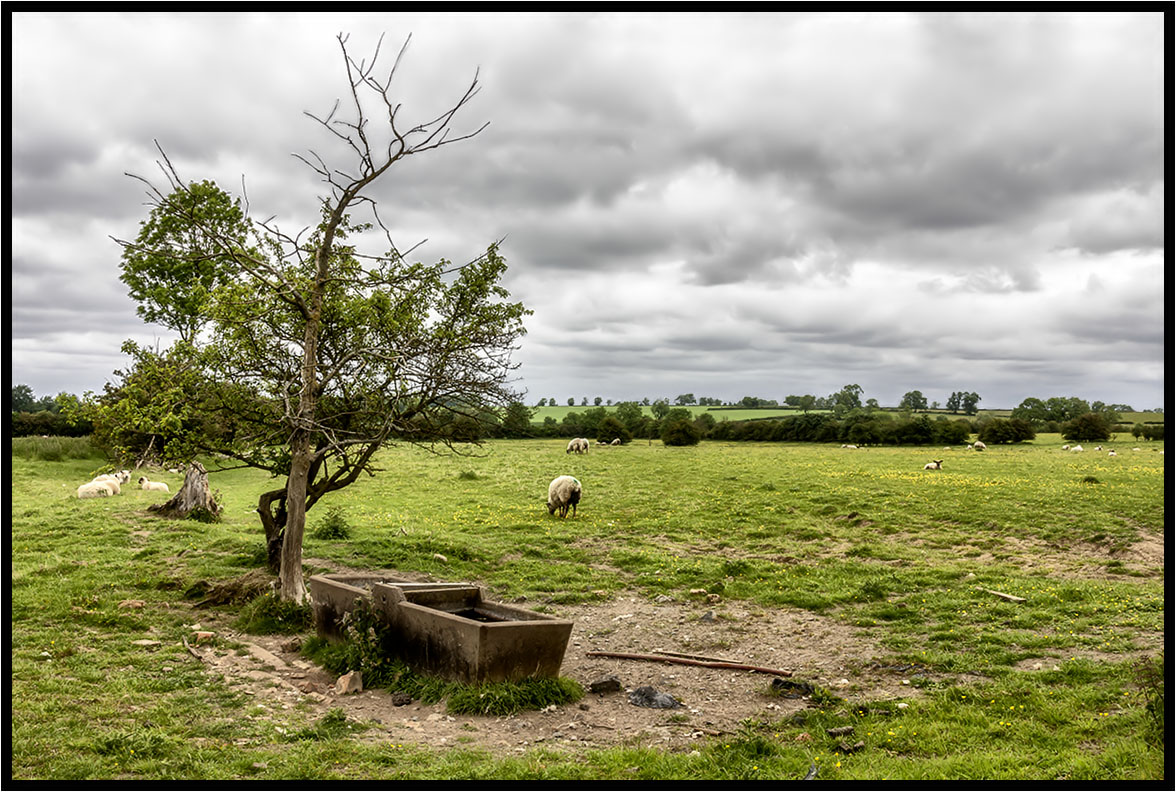
The Water Trough
That field again.
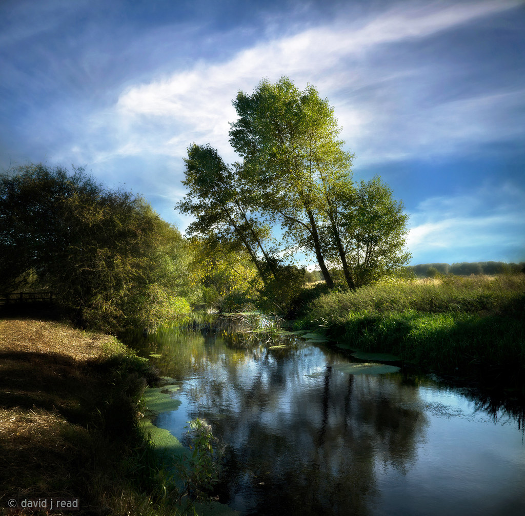
september river
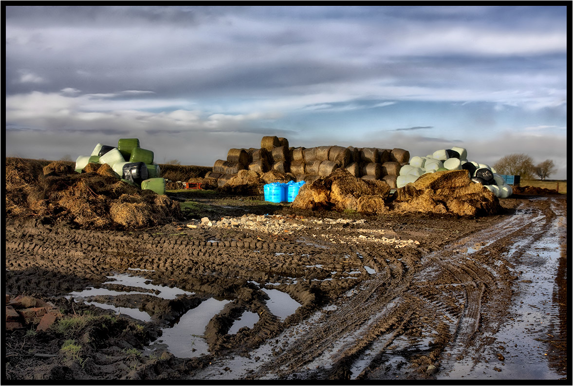
Winter farm yard.
A Footpath.
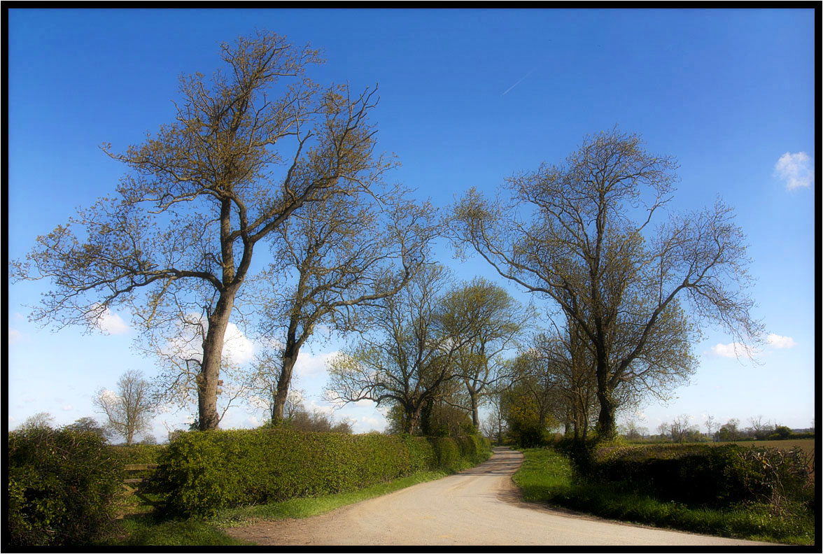
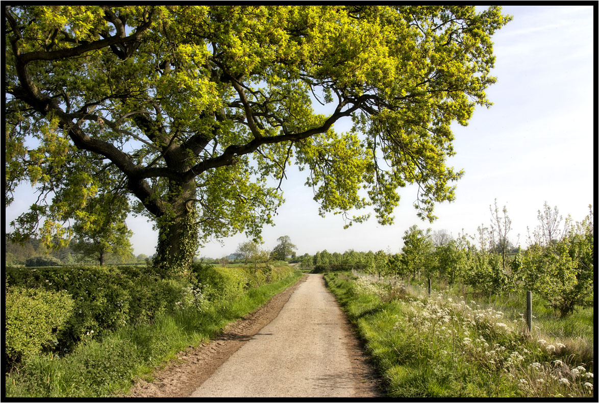
Country Lane.
Country Lane
Across the fields.
The Prevailing Wind.
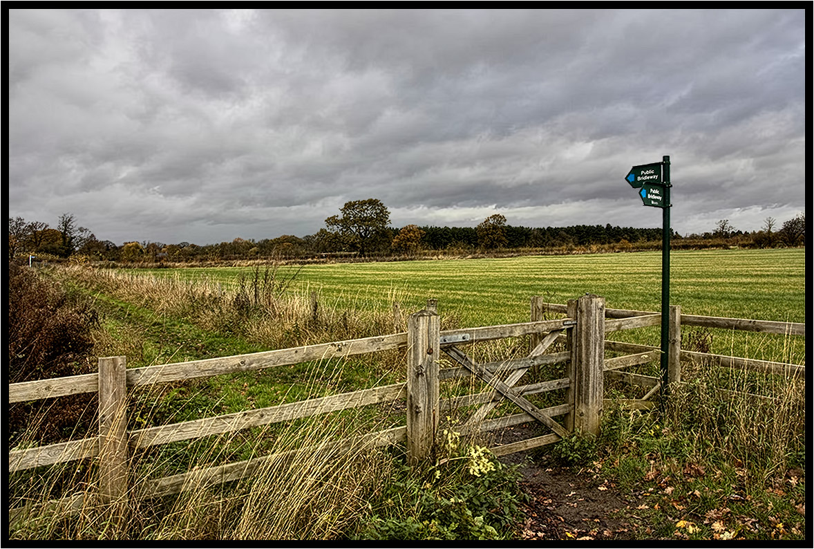
The Bridleway.
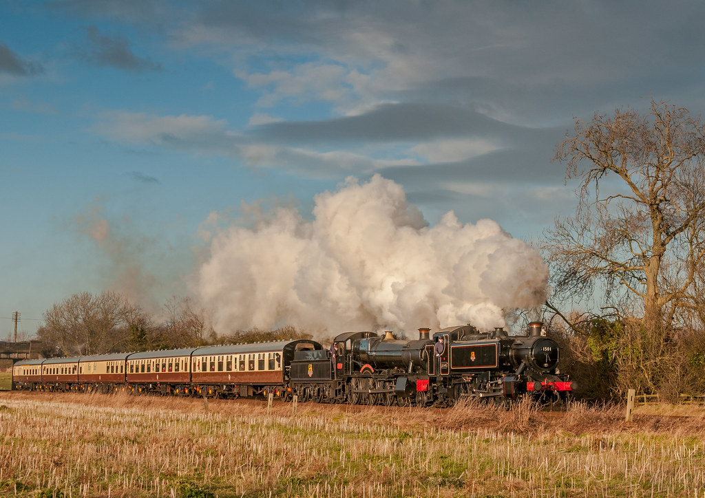
Double-header
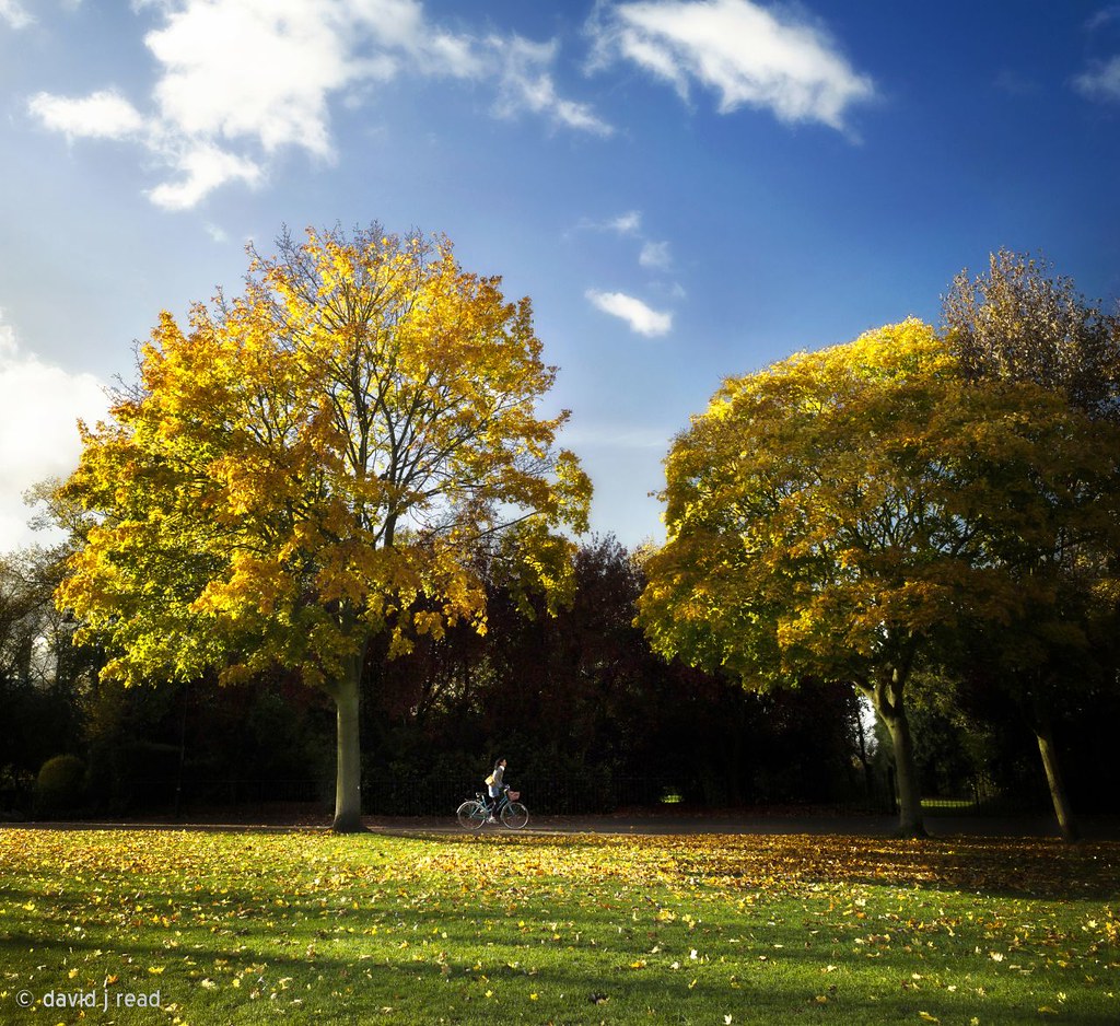
cycling in the park
A Light Breeze.
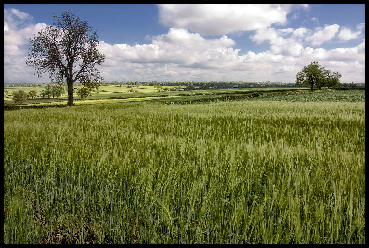
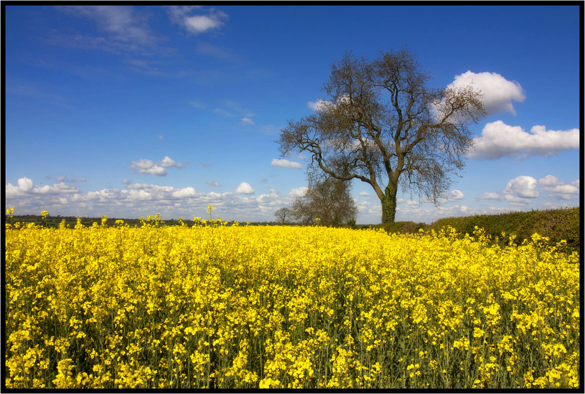
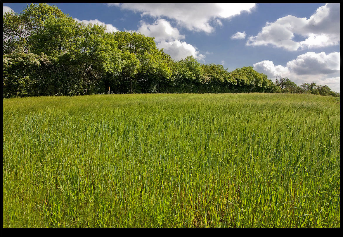
The Young Crop.
Evening over Bradgate

The Tree Of Light
The Lonely One.

Sunset over Birstall. Explored Oct 9th.
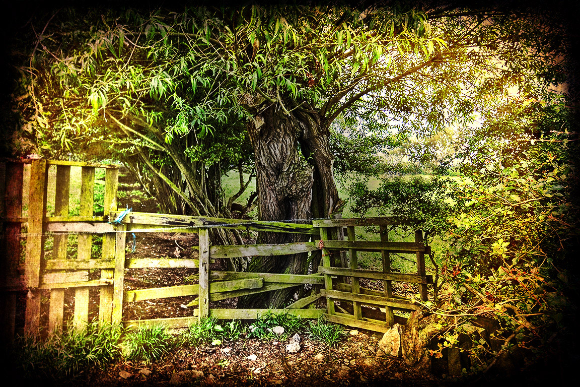
The Footpath Gate.
South Leicester-shire.
Topographic Map of 84 Bowhill Grove, Leicester LE5 2PE, UK
Find elevation by address:

Places near 84 Bowhill Grove, Leicester LE5 2PE, UK:
Thurnby
Swinstead Road
Le7 3qf
Le7 9rr
Keyham
Kings Corner
Malham Way
Mere Road
Queniborough
Mere Road
Le7 3tu
73 Ave Rd Ext, Leicester LE2 3EP, UK
Le1 1sp
Leicester Railway Station
Le1 7rh
Wigston
Wistow
Leicester
Walnut Street
Leicester
Recent Searches:
- Elevation of Corso Fratelli Cairoli, 35, Macerata MC, Italy
- Elevation of Tallevast Rd, Sarasota, FL, USA
- Elevation of 4th St E, Sonoma, CA, USA
- Elevation of Black Hollow Rd, Pennsdale, PA, USA
- Elevation of Oakland Ave, Williamsport, PA, USA
- Elevation of Pedrógão Grande, Portugal
- Elevation of Klee Dr, Martinsburg, WV, USA
- Elevation of Via Roma, Pieranica CR, Italy
- Elevation of Tavkvetili Mountain, Georgia
- Elevation of Hartfords Bluff Cir, Mt Pleasant, SC, USA