Elevation of 81 Val, Czech Republic
Location: Czech Republic > South Bohemian Region > Tábor District >
Longitude: 14.7560426
Latitude: 49.1460554
Elevation: 423m / 1388feet
Barometric Pressure: 96KPa
Elevation Map:
Satellite Map:
Related Photos:
Třeboň

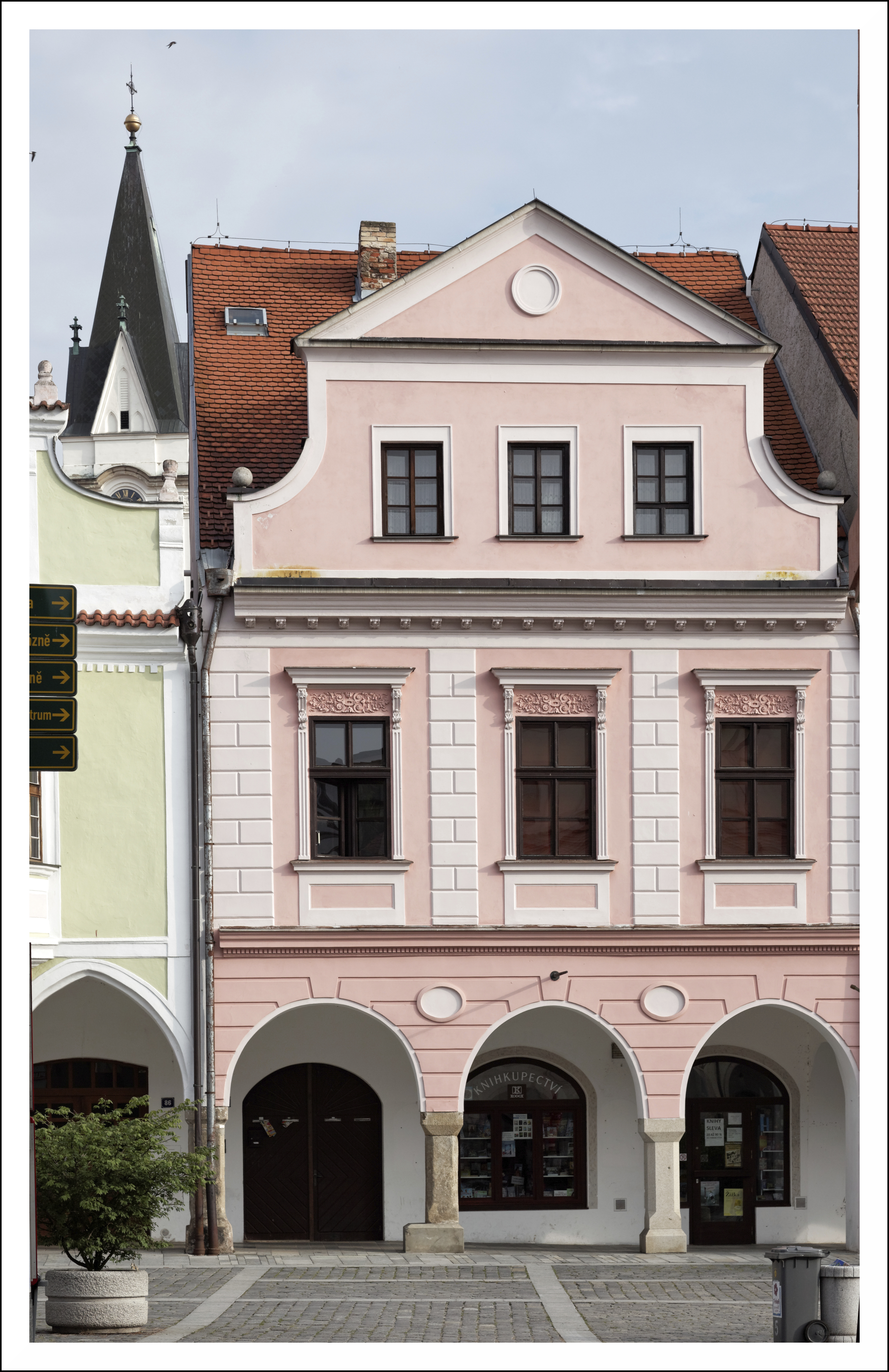
Třeboň (Czech Republic) - Masarykovo náměstí
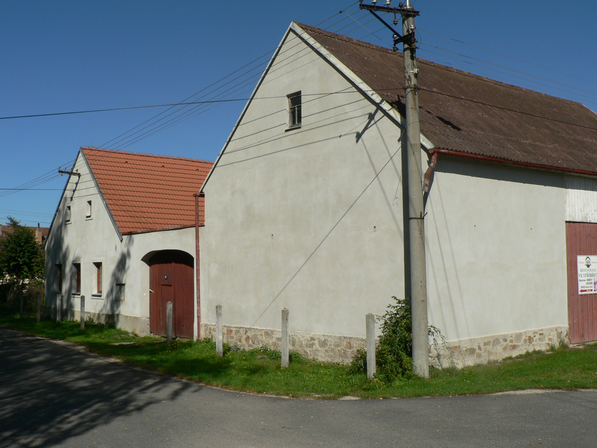
Stribrec-17

broken screen
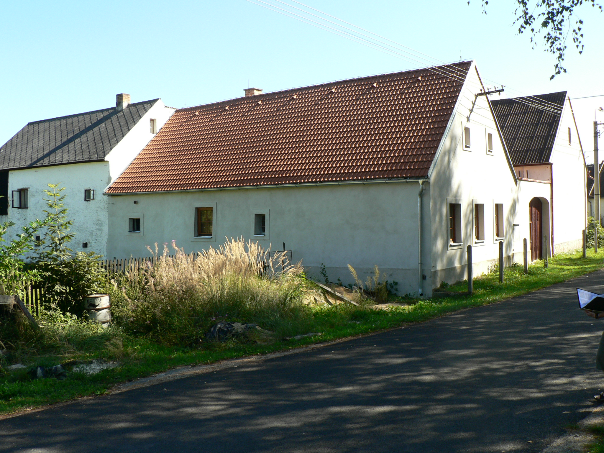
Stribrec-16

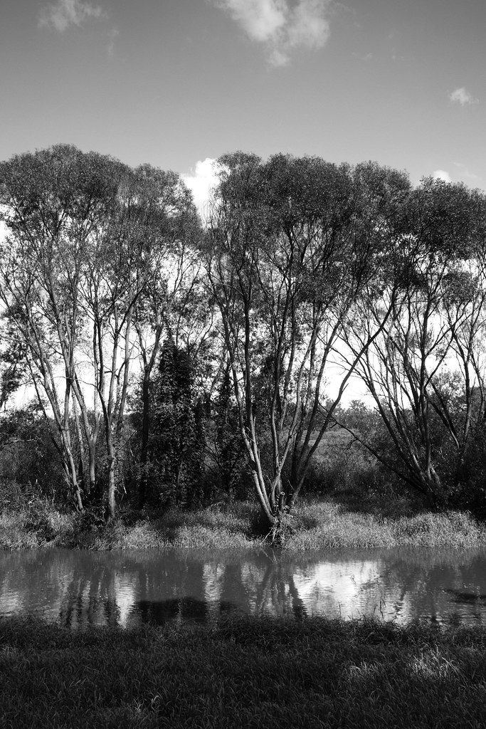
Třeboň
Stribrec-13

Červená Lhota
Třeboňsko 2014
Hike Day July 6

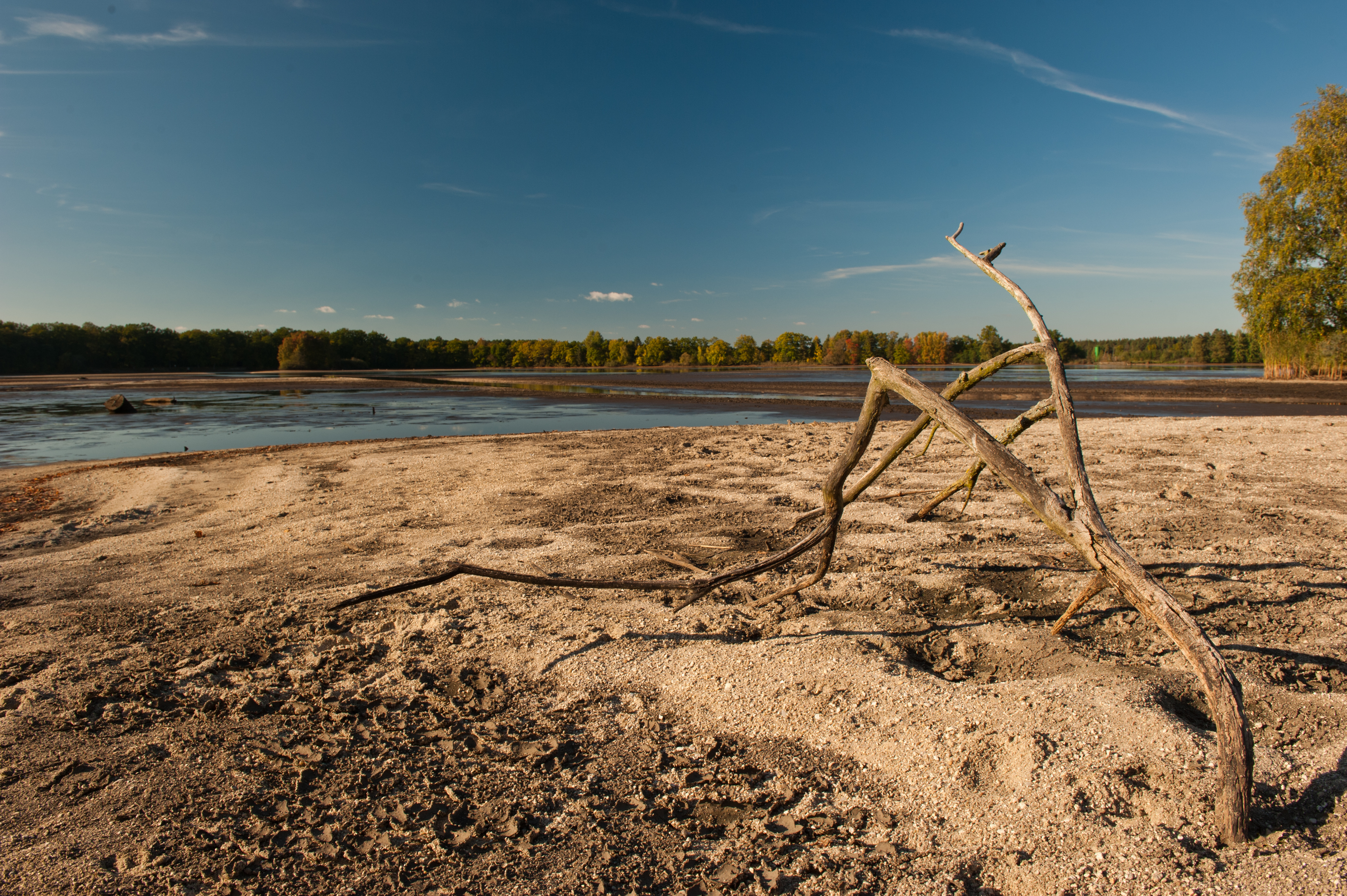
Obilné pole / A wheat field

5.7.16 1 Trebon 18
Hike Day July 6
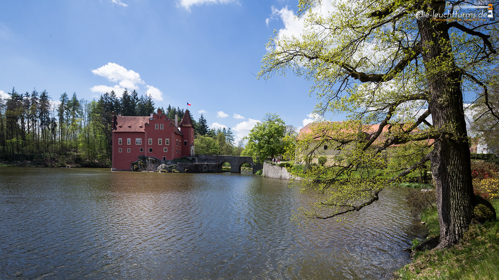
Červená Lhota
Víra
Hike Day July 6

1.7.16 Trebon 15

33 Výlov rybníka Dvořiště 007

5.7.16 1 Trebon 07
IMG_1064.jpg

Pond / Reed

33 Výlov rybníka Dvořiště 008

Cesky Krumlov
DSC_9536.JPG

5.7.16 1 Trebon 08

DSC_9530.JPG

33 Výlov rybníka Dvořiště 005
Třeboňsko 2014
Topographic Map of 81 Val, Czech Republic
Find elevation by address:

Places in 81 Val, Czech Republic:
Places near 81 Val, Czech Republic:
Val 63, 81 Val, Czech Republic
Vlkov
Vlkov 36, 81 Vlkov, Czech Republic
Kardašova Řečice 15, 21 Kardašova Řečice, Czech Republic
Cikar, 21 Kardašova Řečice, Czech Republic
Kardašova Řečice
Neplachov 80, 65 Neplachov, Czech Republic
Třeboň
Neplachov
Ševětín 31, 63 Ševětín, Czech Republic
Stříbřec
Polště 8, 01 Polště, Czech Republic
Polště
nám. Jiráskovo 67, 65 Dolní Bukovsko, Czech Republic
Dolní Bukovsko
Stříbřec 84, 18 Stříbřec, Czech Republic
Velechvín 45, 72 Lišov, Czech Republic
Velký Ratmírov 24, 01 Velký Ratmírov, Czech Republic
Velký Ratmírov
Ševětín
Recent Searches:
- Elevation of Corso Fratelli Cairoli, 35, Macerata MC, Italy
- Elevation of Tallevast Rd, Sarasota, FL, USA
- Elevation of 4th St E, Sonoma, CA, USA
- Elevation of Black Hollow Rd, Pennsdale, PA, USA
- Elevation of Oakland Ave, Williamsport, PA, USA
- Elevation of Pedrógão Grande, Portugal
- Elevation of Klee Dr, Martinsburg, WV, USA
- Elevation of Via Roma, Pieranica CR, Italy
- Elevation of Tavkvetili Mountain, Georgia
- Elevation of Hartfords Bluff Cir, Mt Pleasant, SC, USA