Elevation of 01 Velký Ratmírov, Czech Republic

Location: Czech Republic > South Bohemian Region > Jindřichův Hradec District >

Longitude: 14.9374938

Latitude: 49.1776489

Elevation: 513m / 1683feet

Barometric Pressure: 95KPa

Elevation Map:

elevation map of 01 Velký Ratmírov, Czech Republic

Satellite Map:

Satellite map of 01 Velký Ratmírov, Czech Republic

Related Photos:

day2 castle honeymoon czechrepublic nightview jindrichuvhradec jindřichůvhradec 英吉夫
DSC00789_LR Jindřichův Hradec
autumn cz canoneos350d jindřichůvhradec mywinners czechrepiblic colorphotoaward sigma14mm28 excellentphotographerawards goldstaraward
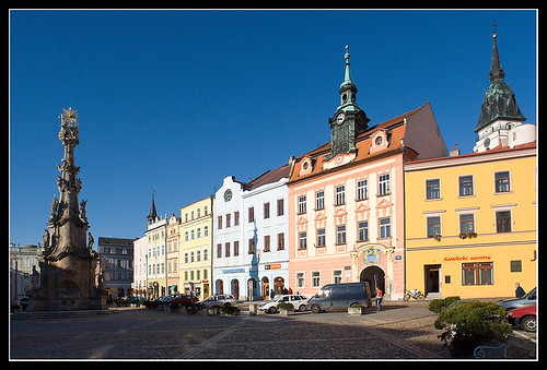
Jindrichuv Hradec Square
reflection castle czechrepublic českárepublika zamek southbohemia jindrichuvhradec jindříchůvhradec
Jindříchův Hradec
nikon czech spiderweb 603 pokrok d40x pokrokorg
broken screen
czechrepublic Českárepublika jindrichuvhradec jindříchůvhradec
Jindříchův Hradec
hotelperla
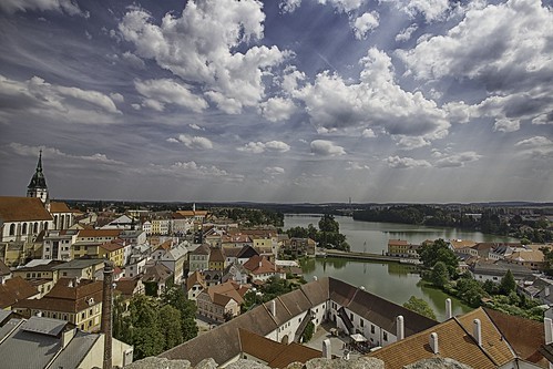
View from balcony of our room in Hotel Perla, Jindřichův Hradec
travel sky skyline canon landscape eos reisen wasser czech outdoor pano himmel wolke ufer landschaft 6d rltravel rlfotografie rllandscape
View from Black Tower
"South Bohemia blue hour"
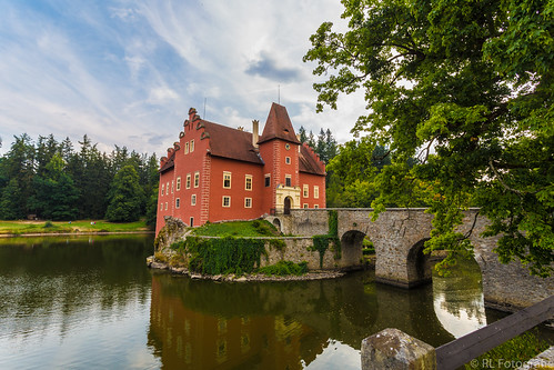
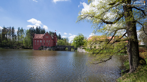
travel canon landscape eos reisen flickr outdoor landschaft 6d červená lhota rltravel rlfotografie rllandscape
Červená Lhota
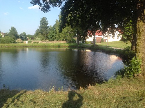
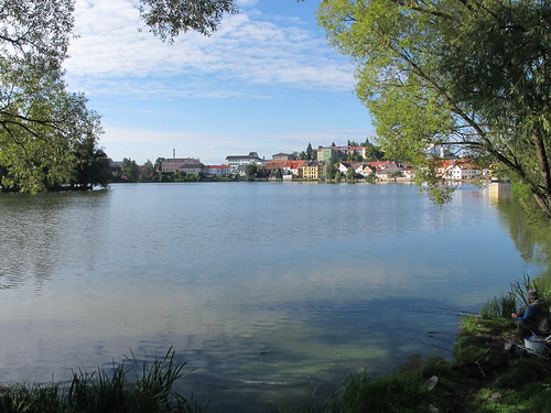
pond mood czech south teich bohemia stimmung hradec rybník jindřichův mywinners abigfave nálada
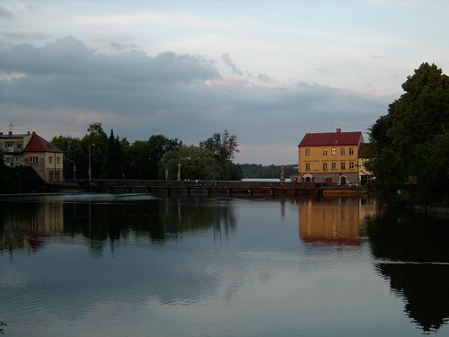
2005-05-31 Evening Mood
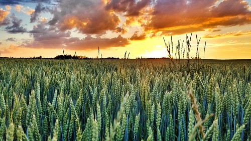
sunset panorama sun hot nature field weather forest landscape fire czech hdr czechia whey
Sun is fire
Camera Roll-837
bw bronica bronicaetrsi film infrared pyrocathd rolleiinfrared zenzanon150
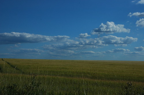
Obilné pole / A wheat field
europa europe tschechien tschechischerepublik czechrepublic bohemia 16x9 böhmen čechy českárepublika jihočeskýkraj červenálhota pluhůvžďár
Červená Lhota
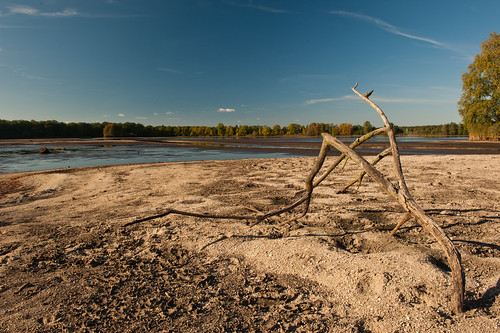
autumn south ponds podzim laska bohemie vira nadeje
Víra
sun clouds sunrise landscape rays
Rise and shine
Camera Roll-842
lago repubblicaceca jindrichuvhradec castellojindrichuv
2012 08 08 Repubblica Ceca - Nord Orientale - Jindrichuv Hradec - Maly Vaigar - Lago piccolo_0196
czechrepublic českárepublika jindřichůvhradec
Jindřichův Hradec
geotagged europe europe2006 waypointnearestdistance120miles waypointmoreicecrm waypoint437 waypoint436 waypointnearesttagband waypointband waypointmyra geolat49242659 geolong14871730 waypointbanddistance120miles waypointmyradistance909miles waypoint437distance1084miles waypoint436distance1084miles waypointmoreicecrmdistance1087miles
DSC_9536.JPG
geotagged europe europe2006 waypointnearestdistance153miles waypointmoreicecrm waypoint437 waypoint436 geolat49263762 geolong14832580 waypointnearesttagband waypointband waypointbanddistance153miles waypoint437distance857miles waypoint436distance857miles waypointmoreicecrmdistance859miles waypointmyra waypointmyradistance1137miles
DSC_9530.JPG
published cze českárepublika jindřichůvhradec
Jindřichův Hradec
Americká krása
panorama czechrepublic 2009 cze jindřichůvhradec mostečný mosteèný
Pluhův Žd'ár, Jindřichův Hradec, Czech Republic
czechrepublic jindřichůvhradec southbohemianregion
Vajgar | nábřeží Ladislava Stehny
lago repubblicaceca jindrichuvhradec castellojindrichuv
2012 08 08 Repubblica Ceca - Nord Orientale - Jindrichuv Hradec - Maly Vaigar - Lago piccolo_0195
geotagged europe europe2006 waypointnearestdistance175miles waypointmoreicecrm waypoint437 waypoint436 waypointnearesttagband waypointband waypointmyra waypoint437distance1107miles waypoint436distance1107miles waypointmyradistance890miles waypointmoreicecrmdistance1110miles geolat49246046 geolong14883738 waypointbanddistance175miles
DSC_9546.JPG
landscape
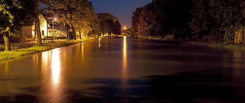
Flood 2010