Elevation of 80 Old Burnham Rd, Oroville, WA, USA
Location: United States > Washington > Okanogan County > Oroville >
Longitude: -119.20674
Latitude: 48.906677
Elevation: 1194m / 3917feet
Barometric Pressure: 88KPa
Elevation Map:
Satellite Map:
Related Photos:
Mountain Bluebird (Sialia currucoides)
Once Was . . .

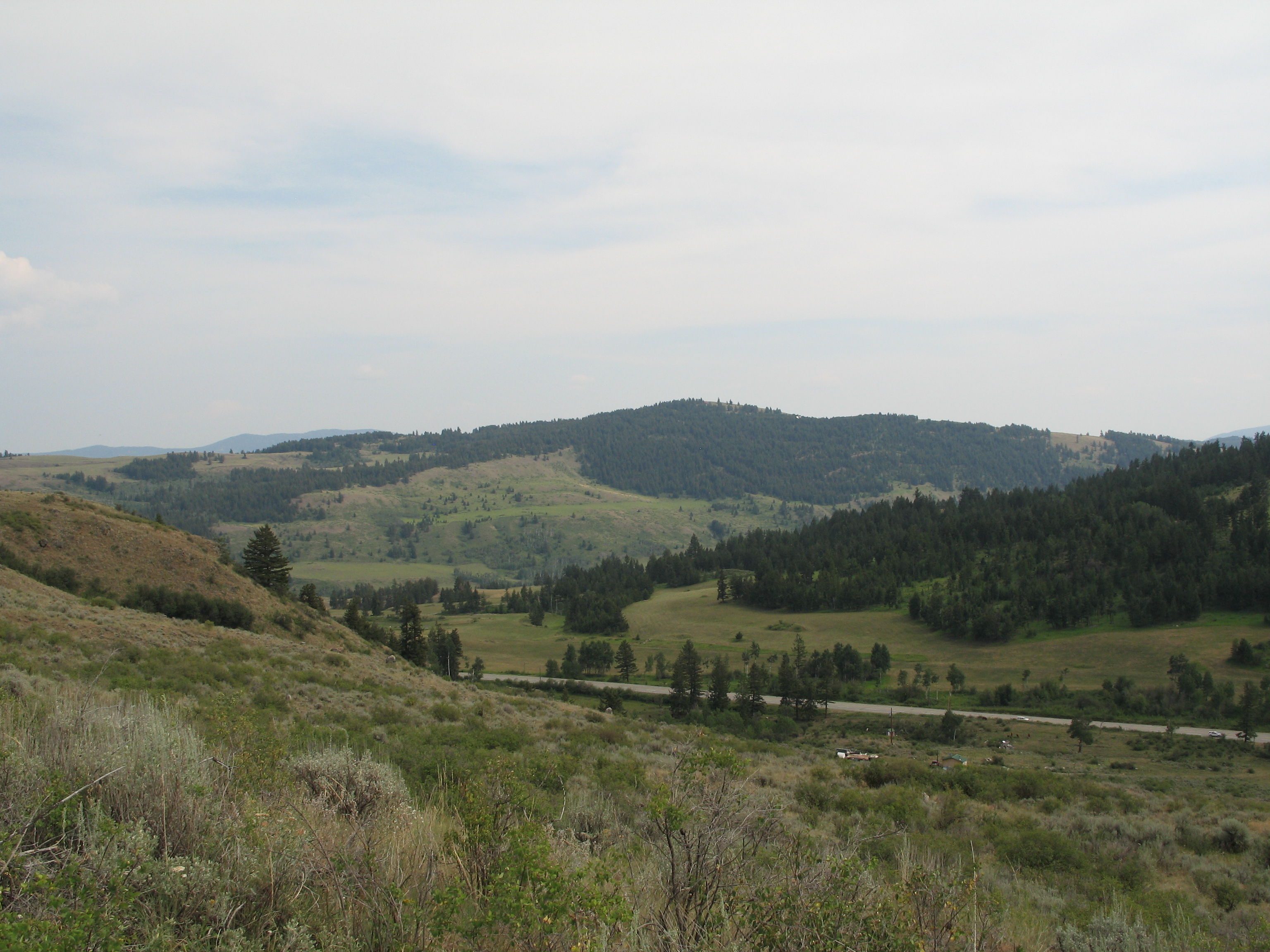
View from my lunchspot today...
View from my lunchspot today (part one)
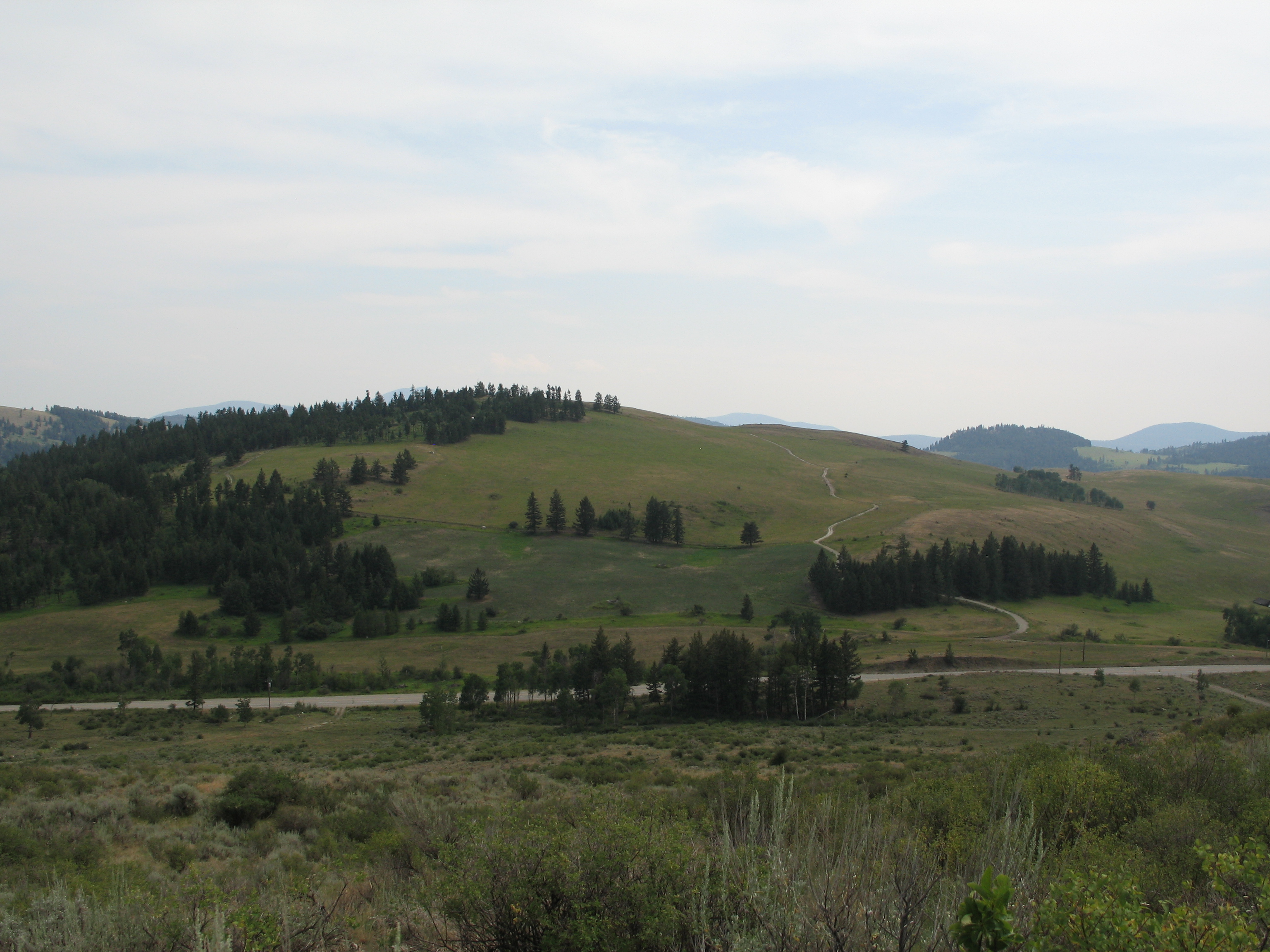
View from my lunchspot today...

View from my lunchspot today (part two)...
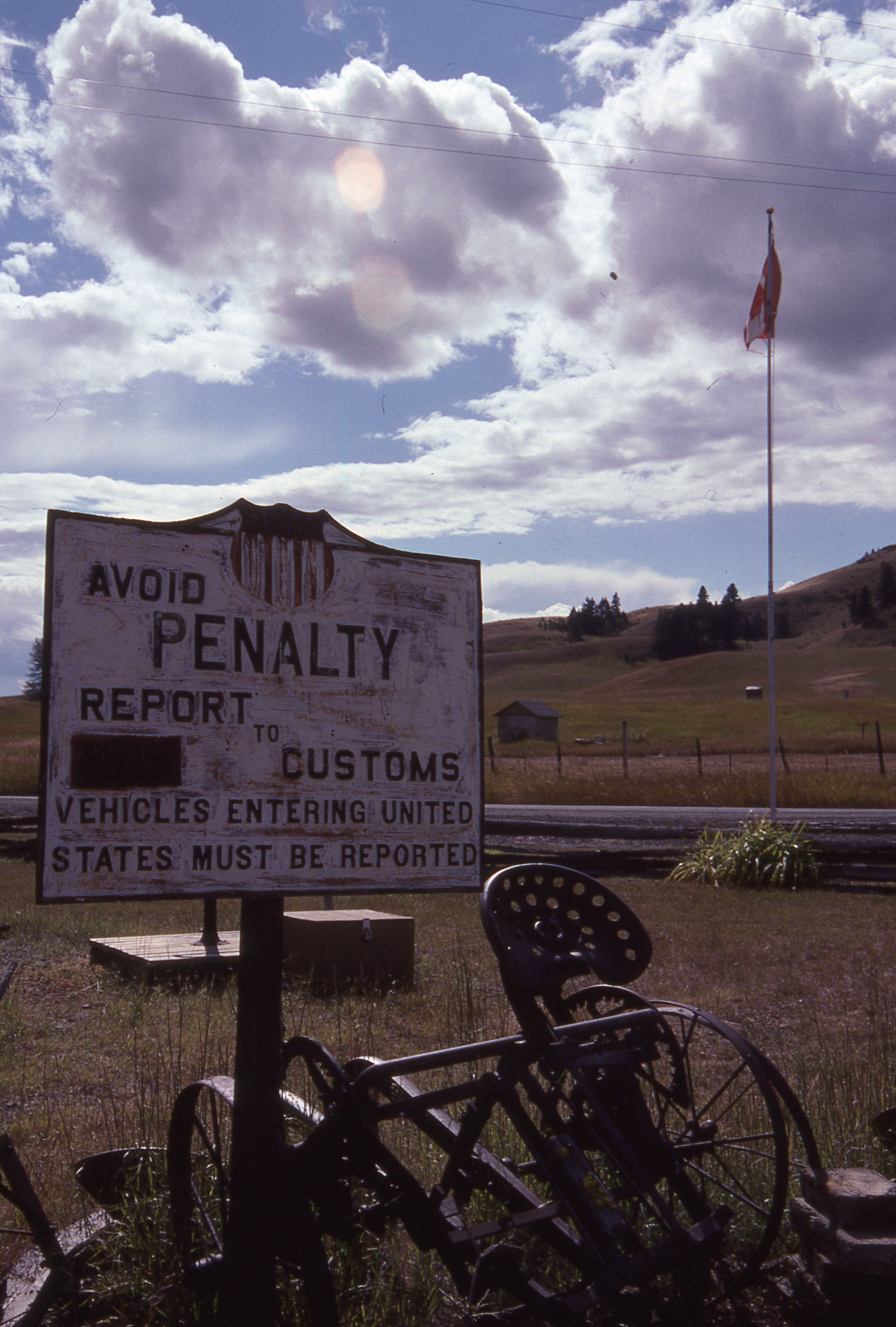
Those strange American customs

Two old Barns

Polarized Sunglasses View of Porphyry Peak

Polarized Sunglasses View of Chesaw

Polarized Sunglasses View of Porphyry Peak

Polarized Sunglasses View of Porphyry Peak

Polarized Sunglasses View of Porphyry Peak

Polarized Sunglasses View of Porphyry Peak

Polarized Sunglasses View of Margo and James on Porphyry Peak
Aug 09 114
Aug 09 112

Aug 09 113
Aug 09 083
Favourite Songs
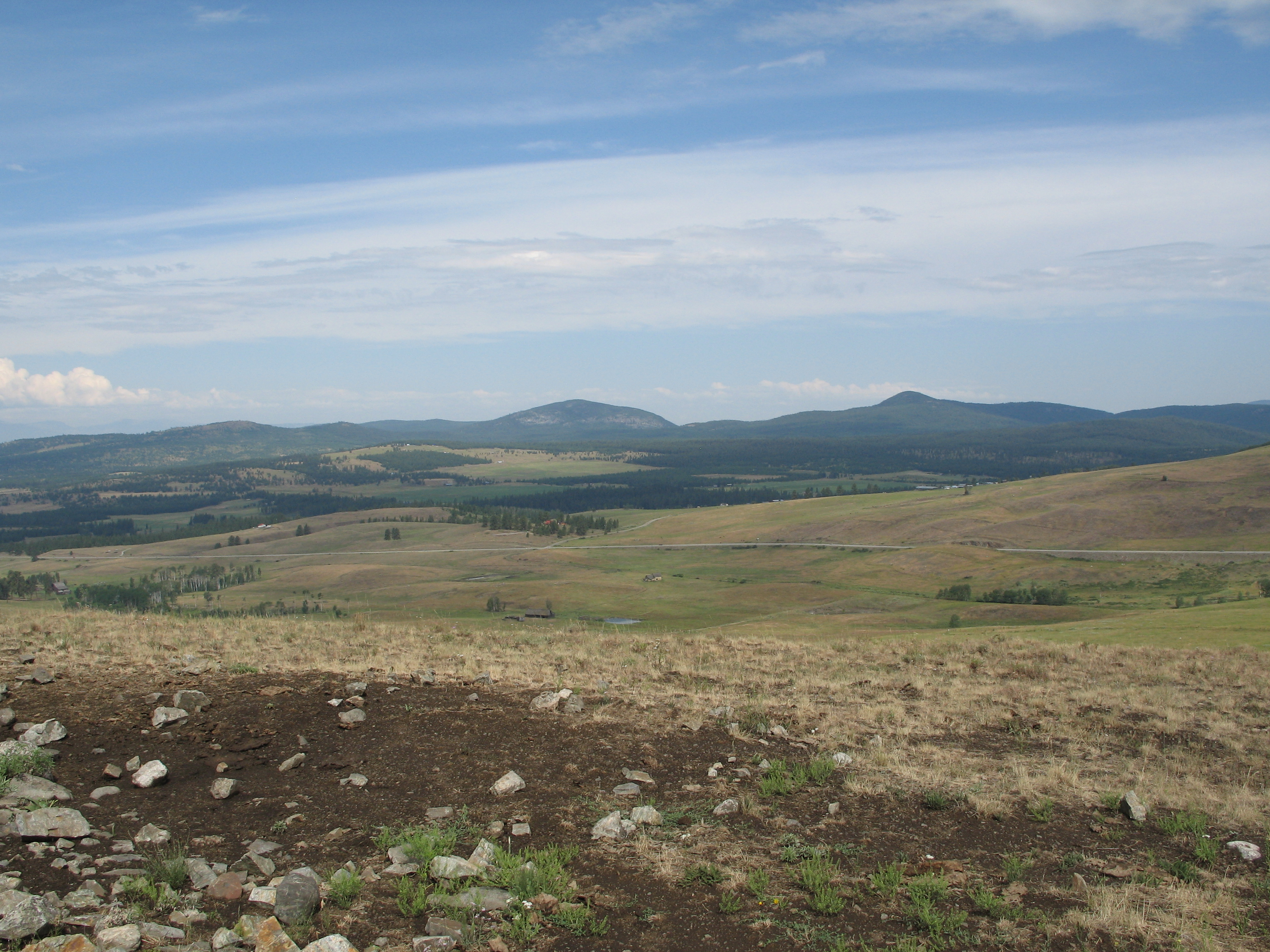
View from my lunchspot today...

Okanogan Winter
Idyllic scene along the Crowsnest Highway

#ghosttown #washington #northwest
Grassy hills above Dry Gulch Road near Havillah, Washington
10-17-2009 Clouds (6)

Fields of green.

Beaver Pond
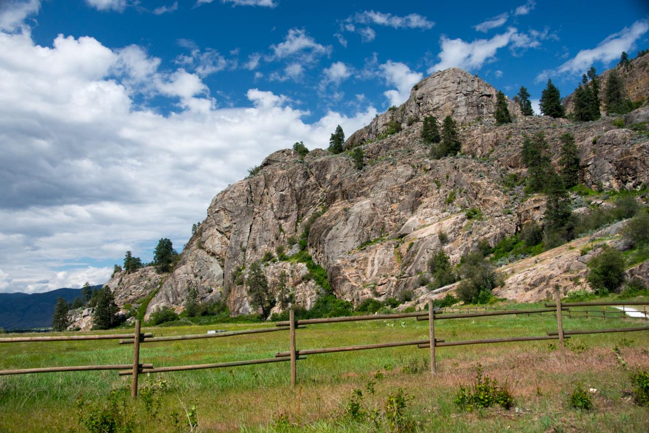
Whistler Canyon trailhead of the Pacific Northwest Trail, near Oroville, Washington
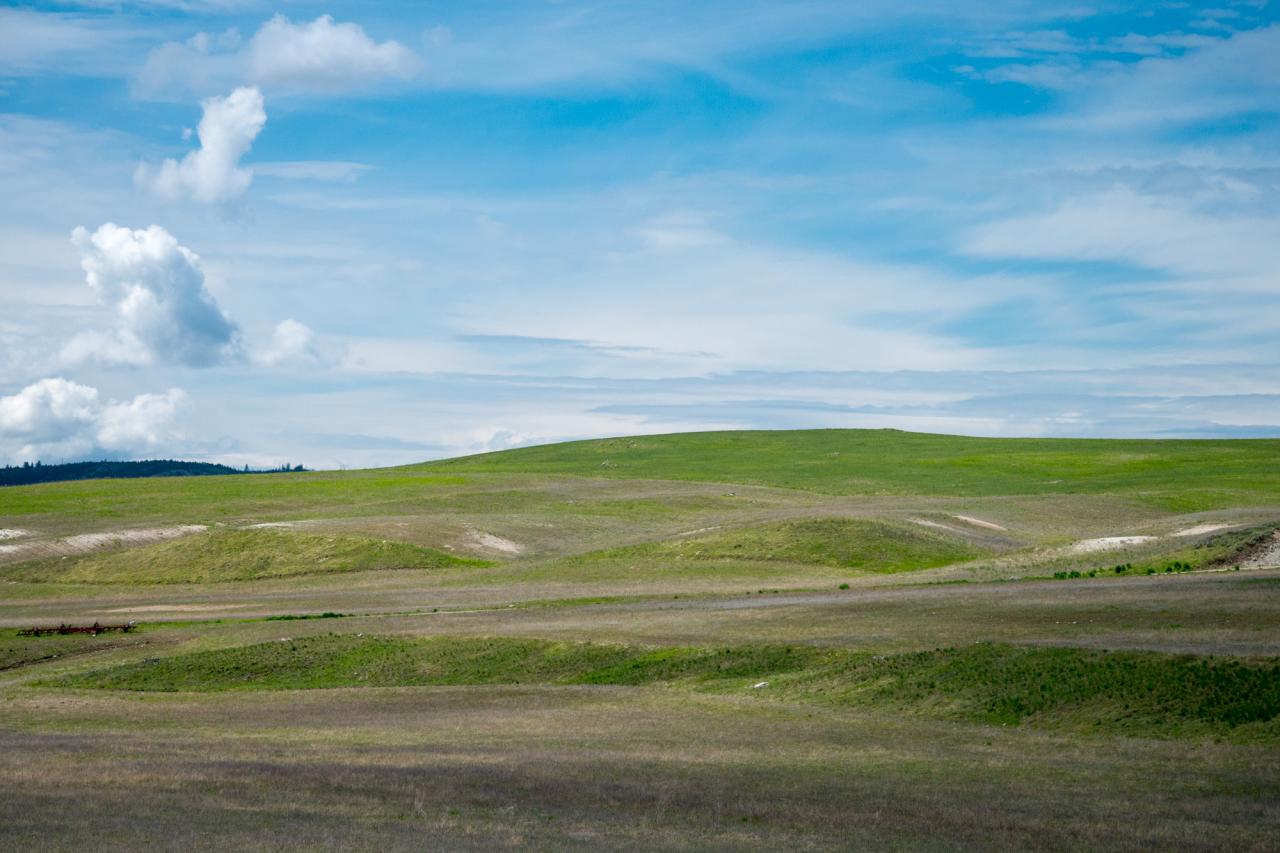
Rolling hills of Eastern Washington near Havillah

The Pacific Northwest Trail (two track) disappears into the woods on the east side of Mt. Hull

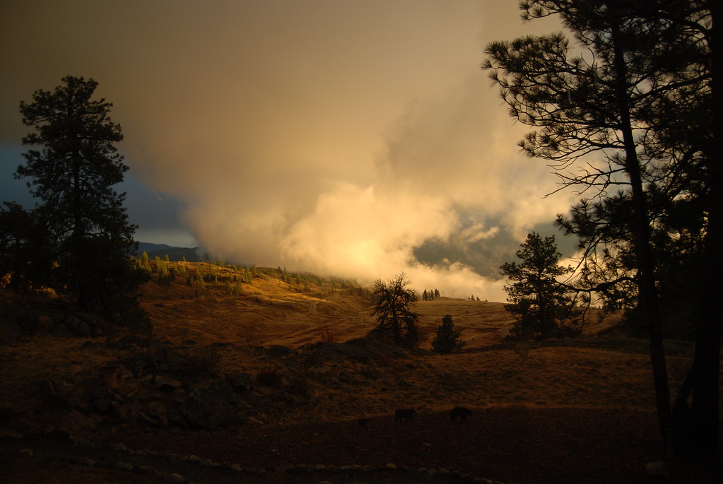
Sunset in Okanogan Highlands
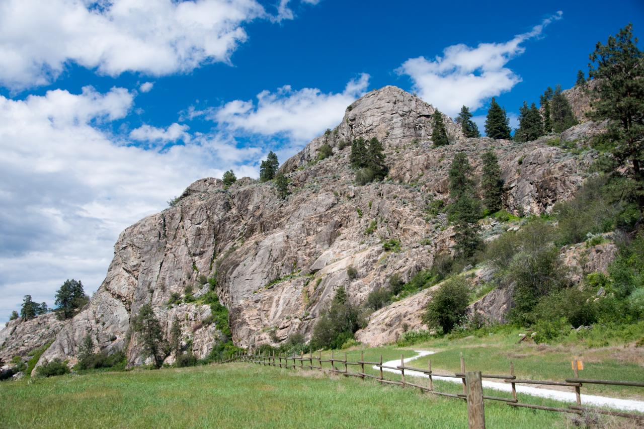
The Pacific Northwest Trail climbs up the rocky face of Whistler Canyon

Okanagan Countryside

If you don't like the weather, take a drive
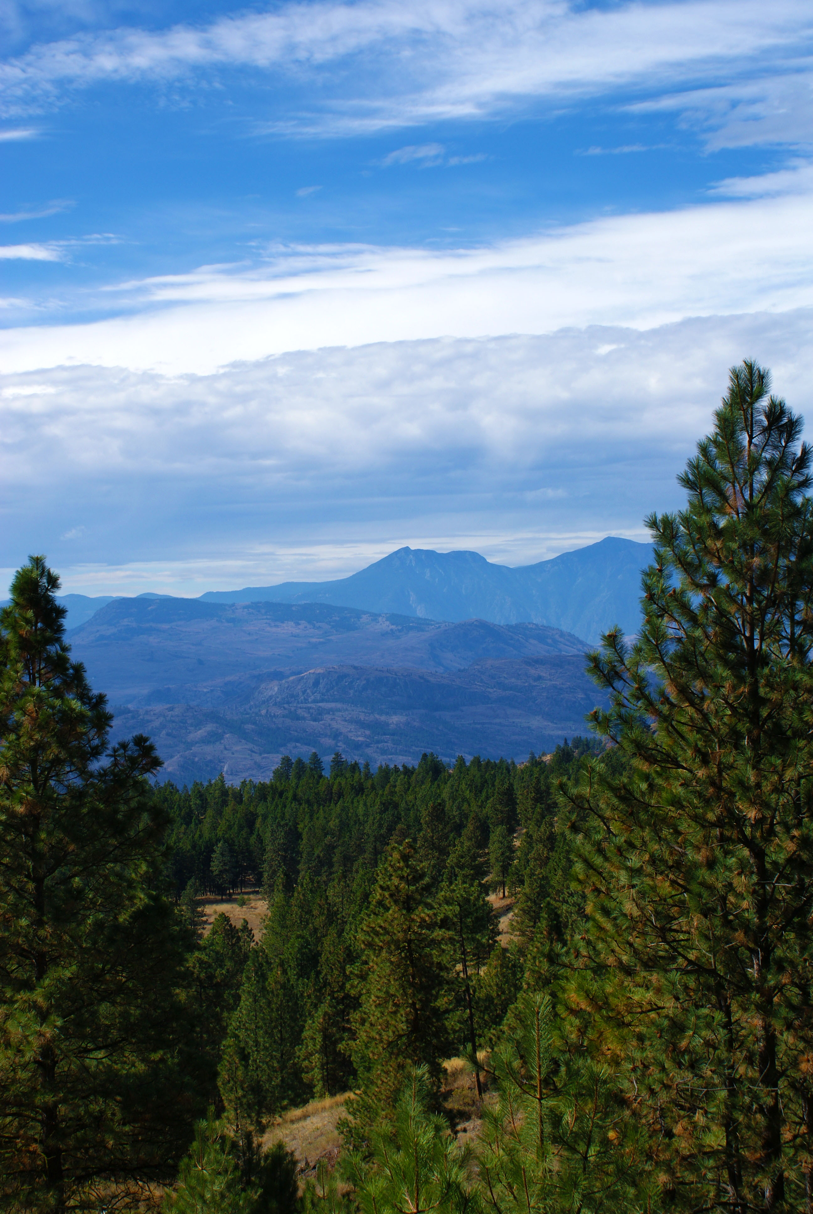
Photo taken from Regal Ridge near Osoyoos, British Columbia, Canada
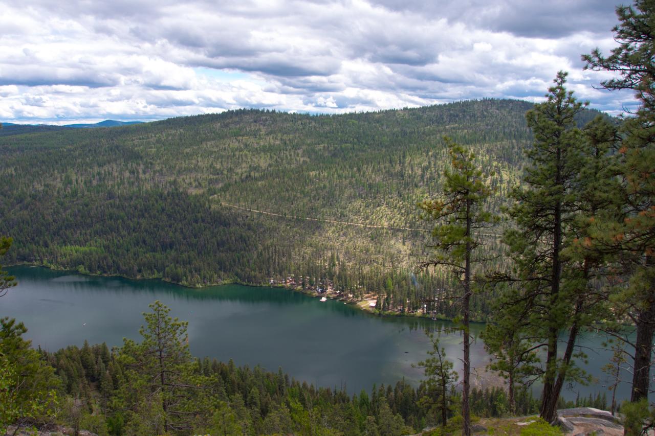
Bonaparte Lake and the Bonaparte Lake Resort from the Pacific Northwest Trail
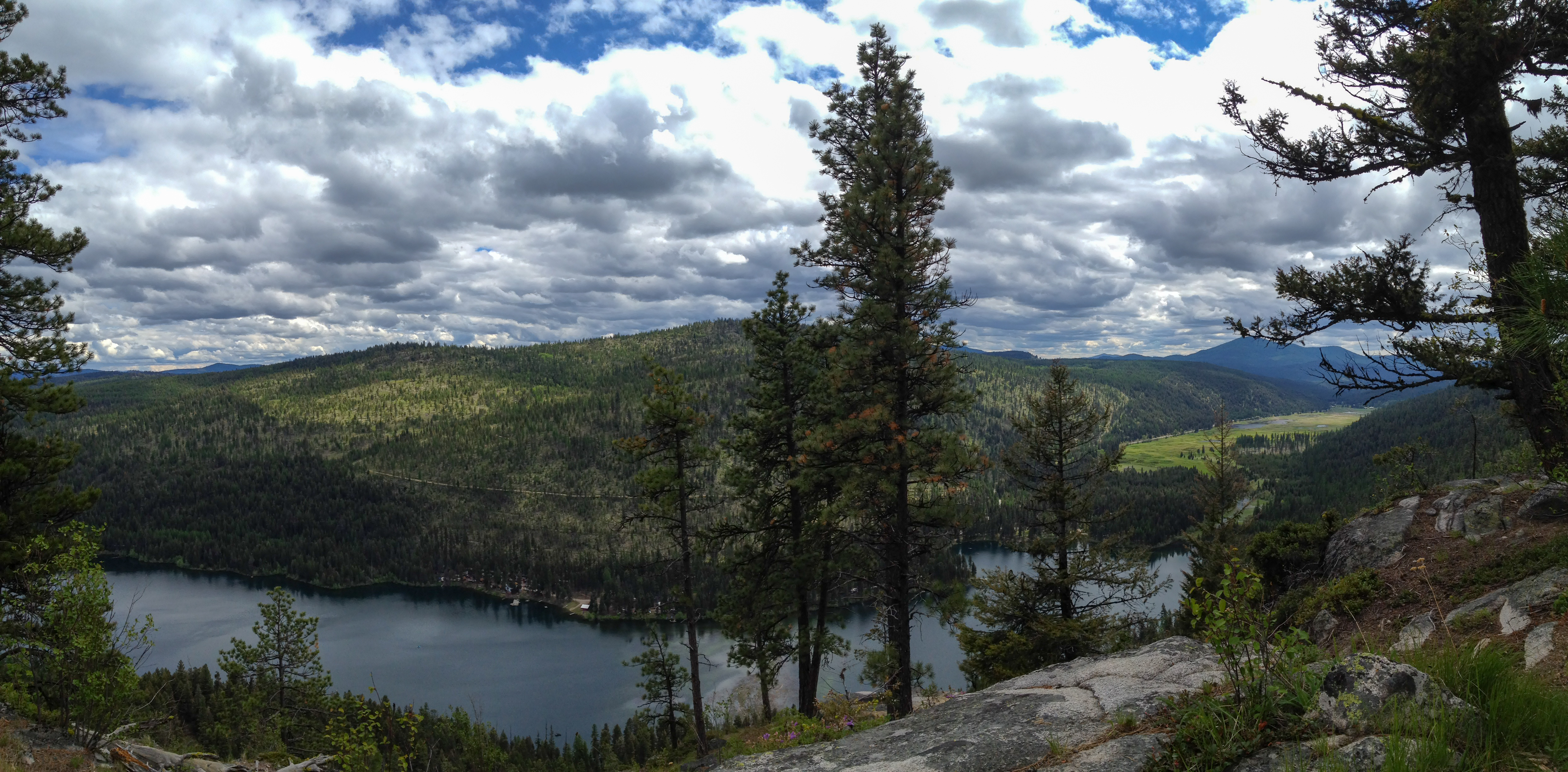
Clouds moving in over Bonaparte Lake

1693267-R1-E013
Topographic Map of 80 Old Burnham Rd, Oroville, WA, USA
Find elevation by address:

Places near 80 Old Burnham Rd, Oroville, WA, USA:
1155a Chesaw Rd
1155a Chesaw Rd A
1155b Chesaw Rd
1436 Chesaw Rd
Molson
9 Mile Rd, Oroville, WA, USA
18 Amanda Rd
102 Corral Dr
6380 Sidley Mountain Rd
6380 Sidley Mountain Rd
Wagonwheel Road
Kelly Road
6401 Sidley Mountain Rd
West Corral Road
220 Caribou Cres
Caribou Crescent
896 Ravenhill Rd
110 Caribou Cres
141 Falcon Pl
295 Sasquatch Trail
Recent Searches:
- Elevation of Corso Fratelli Cairoli, 35, Macerata MC, Italy
- Elevation of Tallevast Rd, Sarasota, FL, USA
- Elevation of 4th St E, Sonoma, CA, USA
- Elevation of Black Hollow Rd, Pennsdale, PA, USA
- Elevation of Oakland Ave, Williamsport, PA, USA
- Elevation of Pedrógão Grande, Portugal
- Elevation of Klee Dr, Martinsburg, WV, USA
- Elevation of Via Roma, Pieranica CR, Italy
- Elevation of Tavkvetili Mountain, Georgia
- Elevation of Hartfords Bluff Cir, Mt Pleasant, SC, USA