Elevation of 79 Mitchell Bay Rd, Mitchell Bay, NS B0J, Canada
Location: Canada > Nova Scotia > Halifax Regional Municipality > Halifax >
Longitude: -62.179084
Latitude: 44.9415644
Elevation: 4m / 13feet
Barometric Pressure: 101KPa
Elevation Map:
Satellite Map:
Related Photos:

NS2008_0616_57
Wilsons Cove
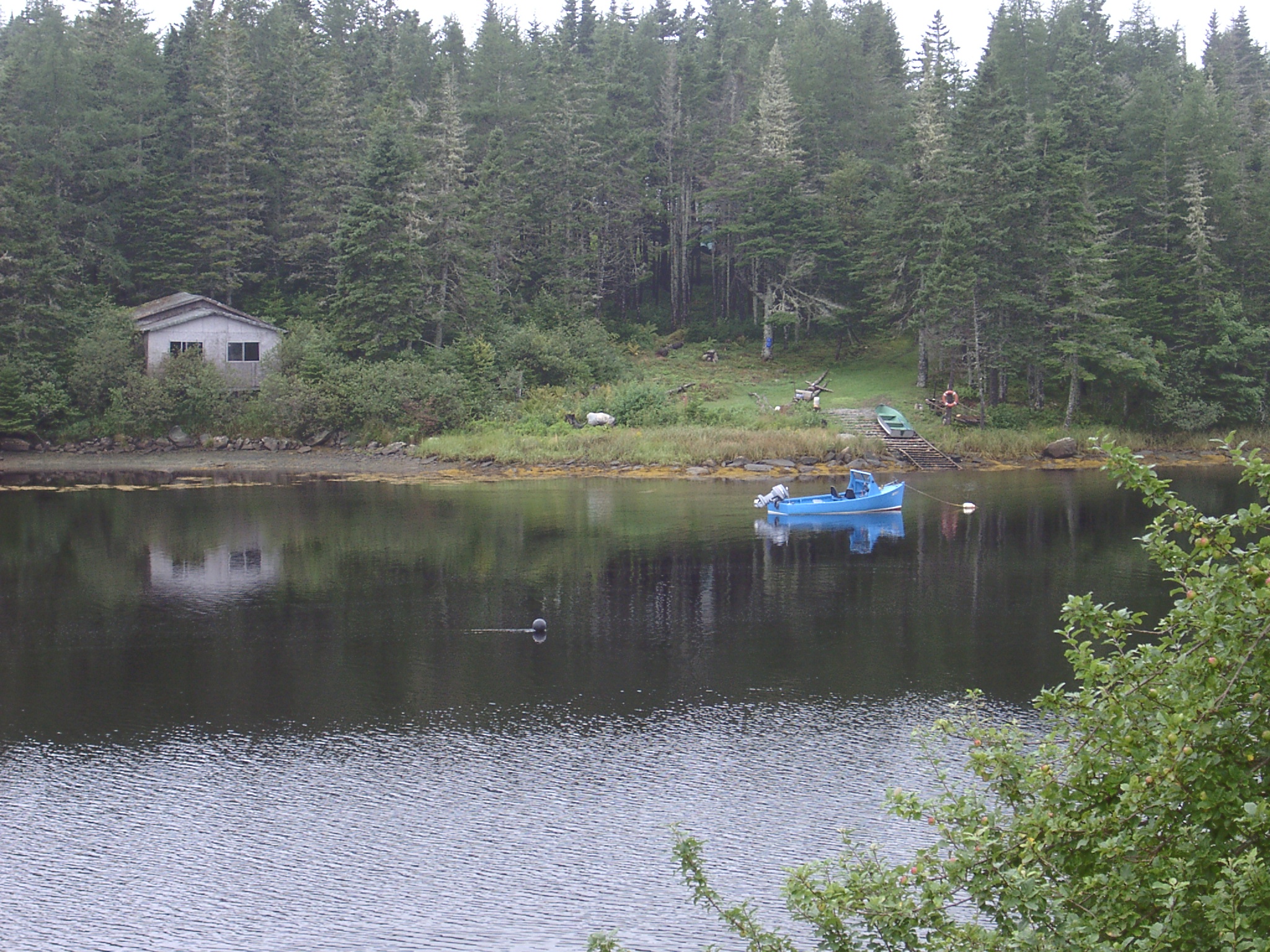
Wilsons Cove
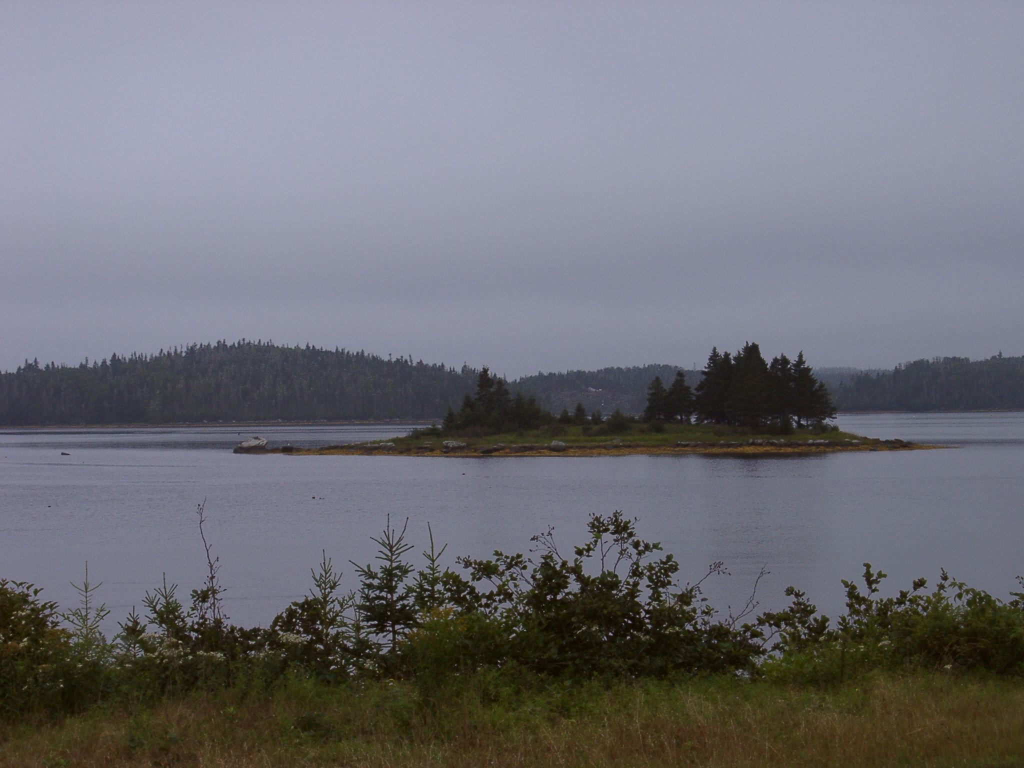
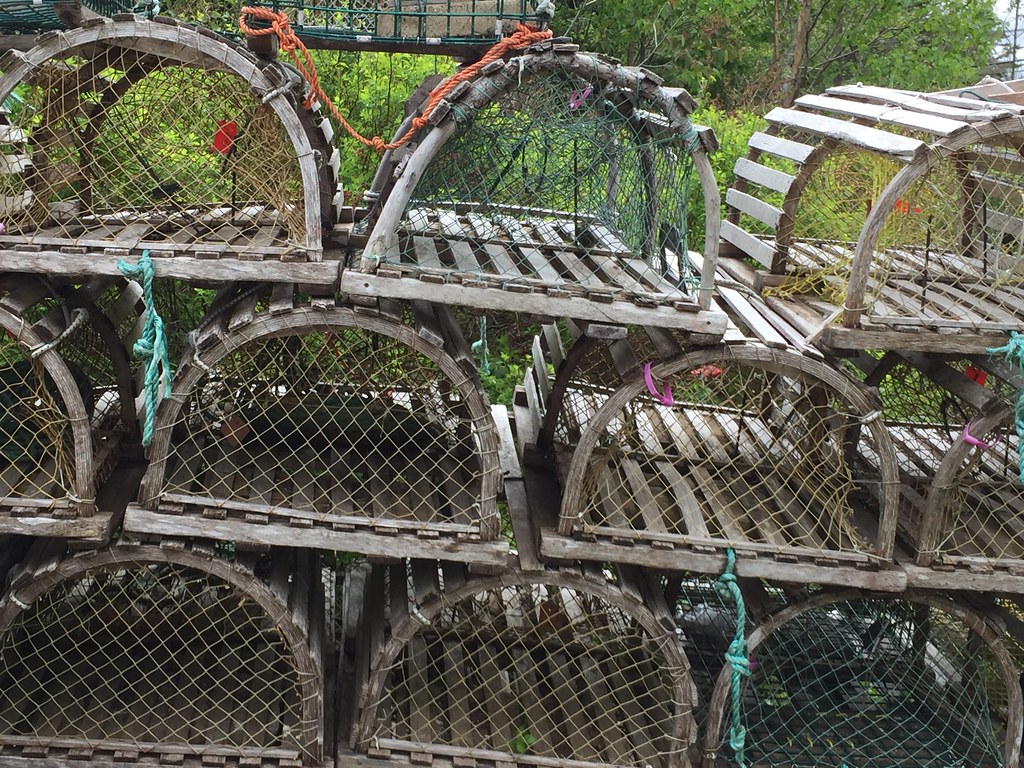
Mitchell Bay
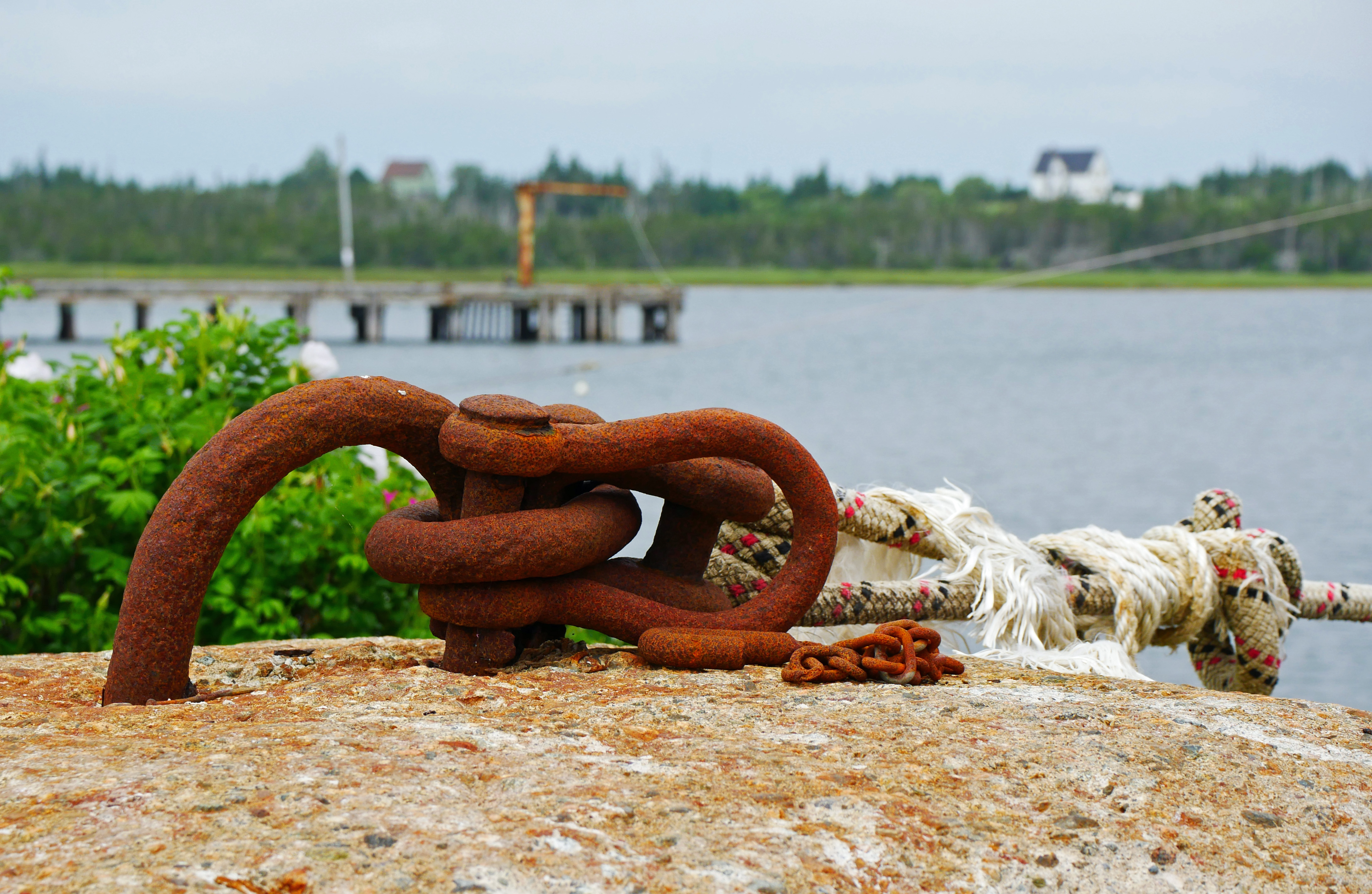
Tie down 2

Maritimes with an iPhone
Maritimes with an iPhone
Maritimes with an iPhone

Maritimes with an iPhone

Maritimes with an iPhone
Maritimes with an iPhone

Maritimes with an iPhone
Highway 7 through Marie Joseph, Nova Scotia
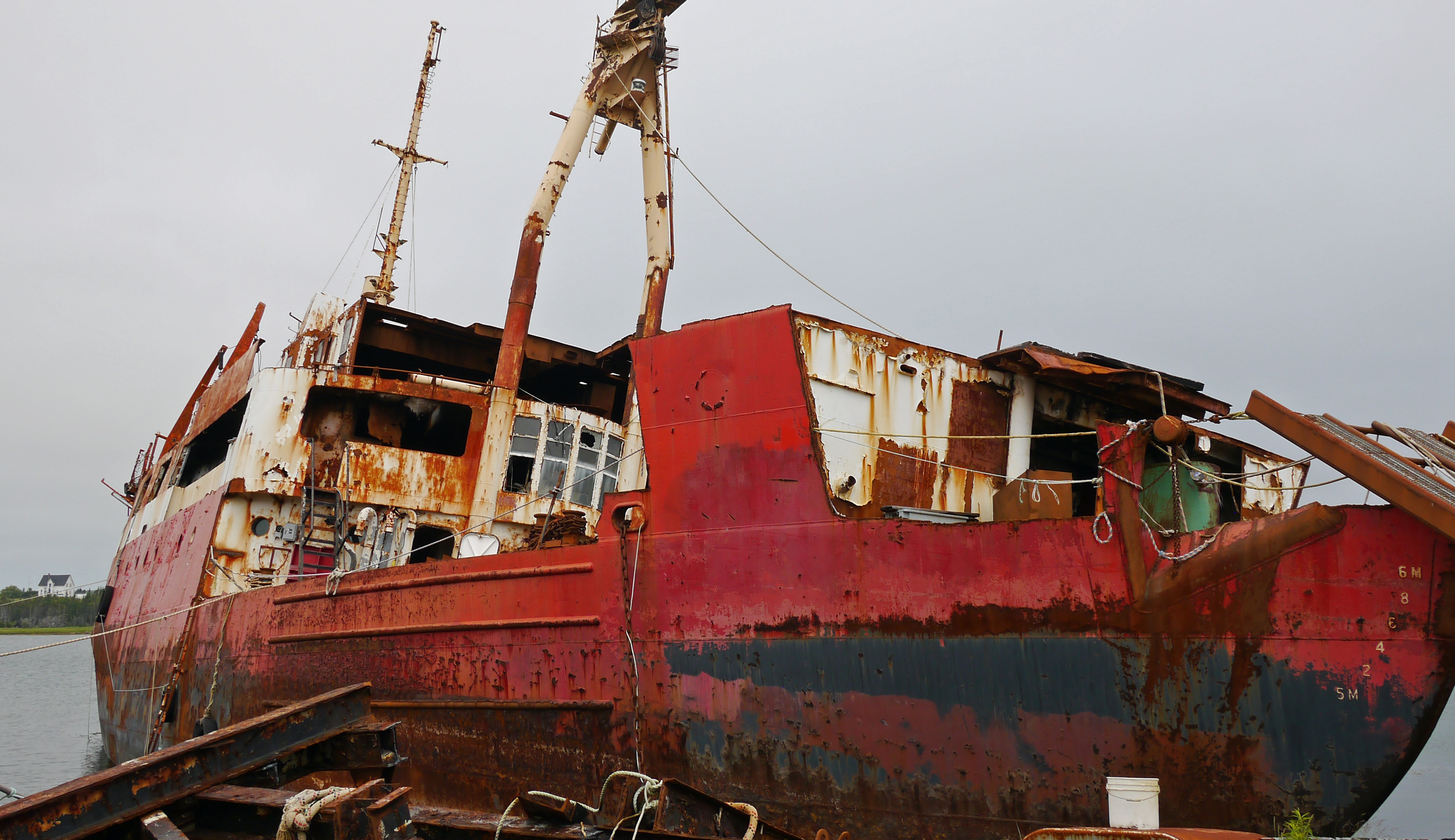
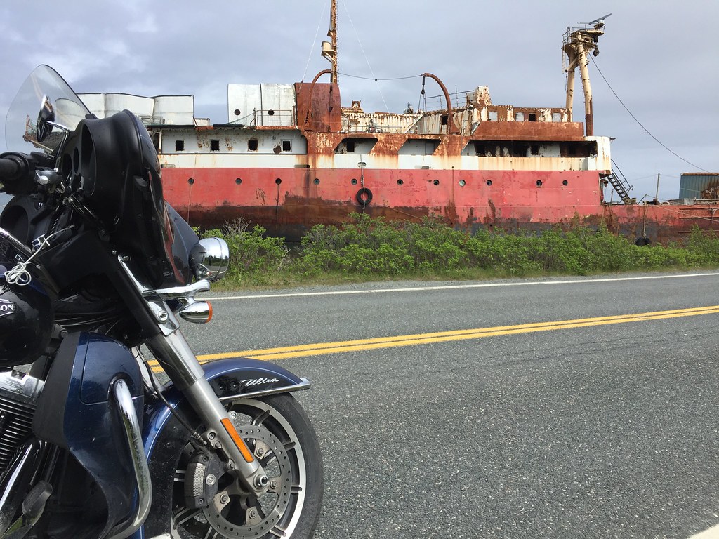
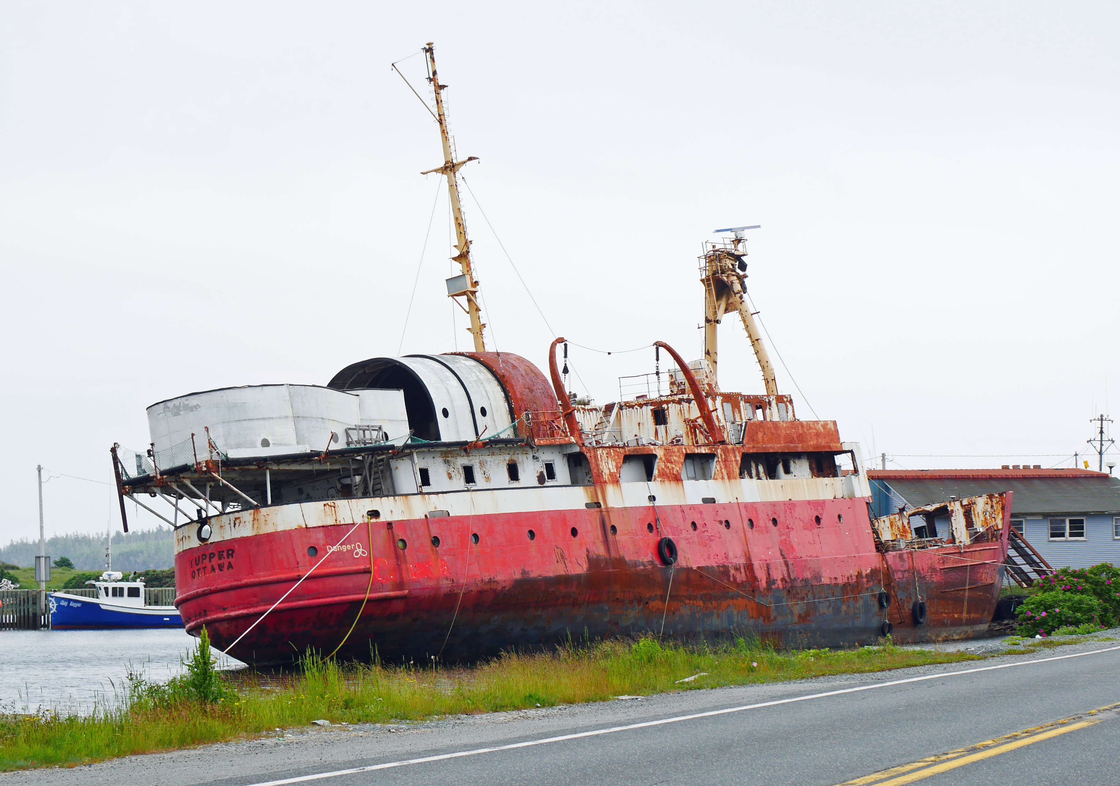
Tupper wreck
Tucker salvage
Tupper 2
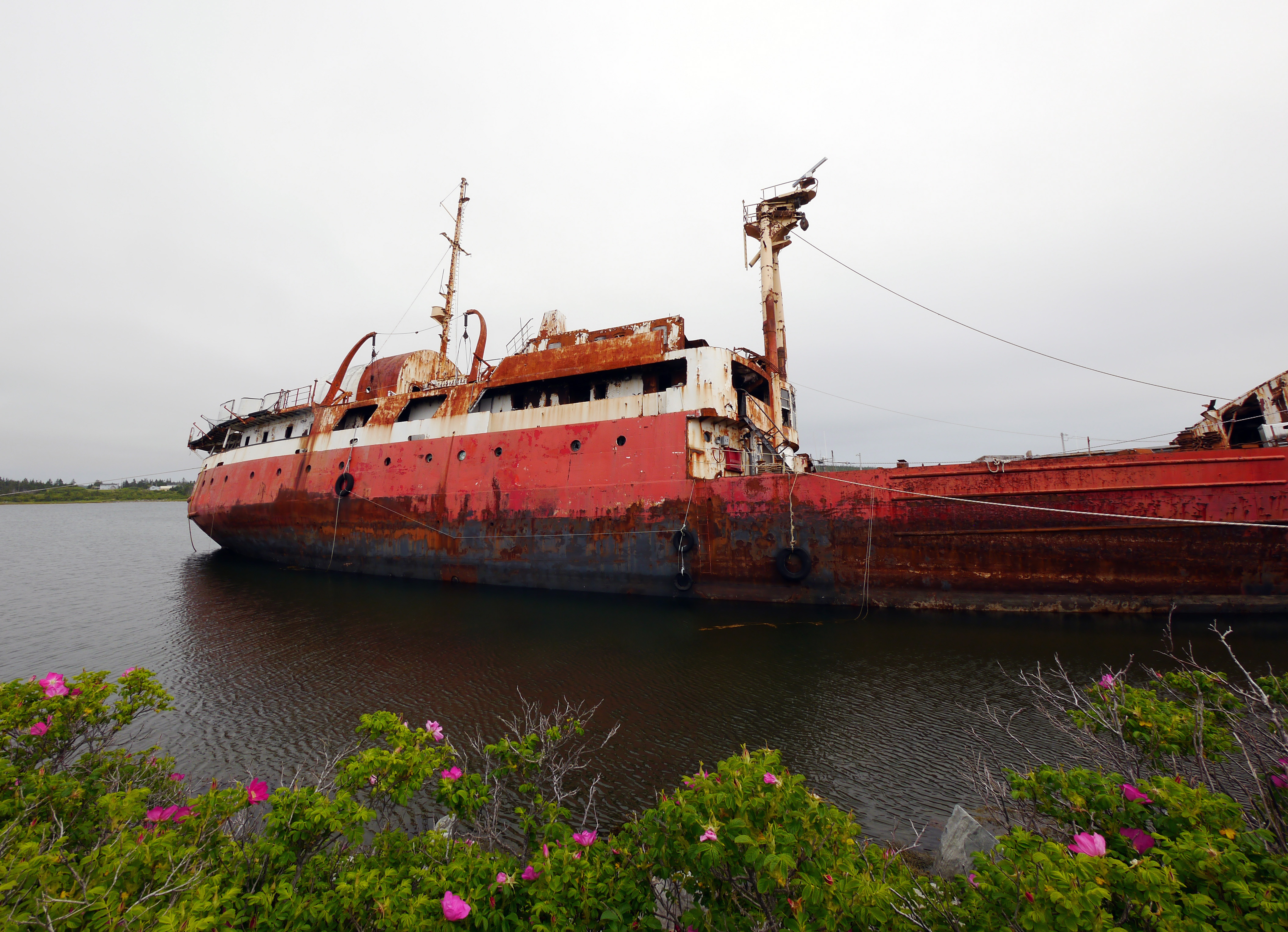
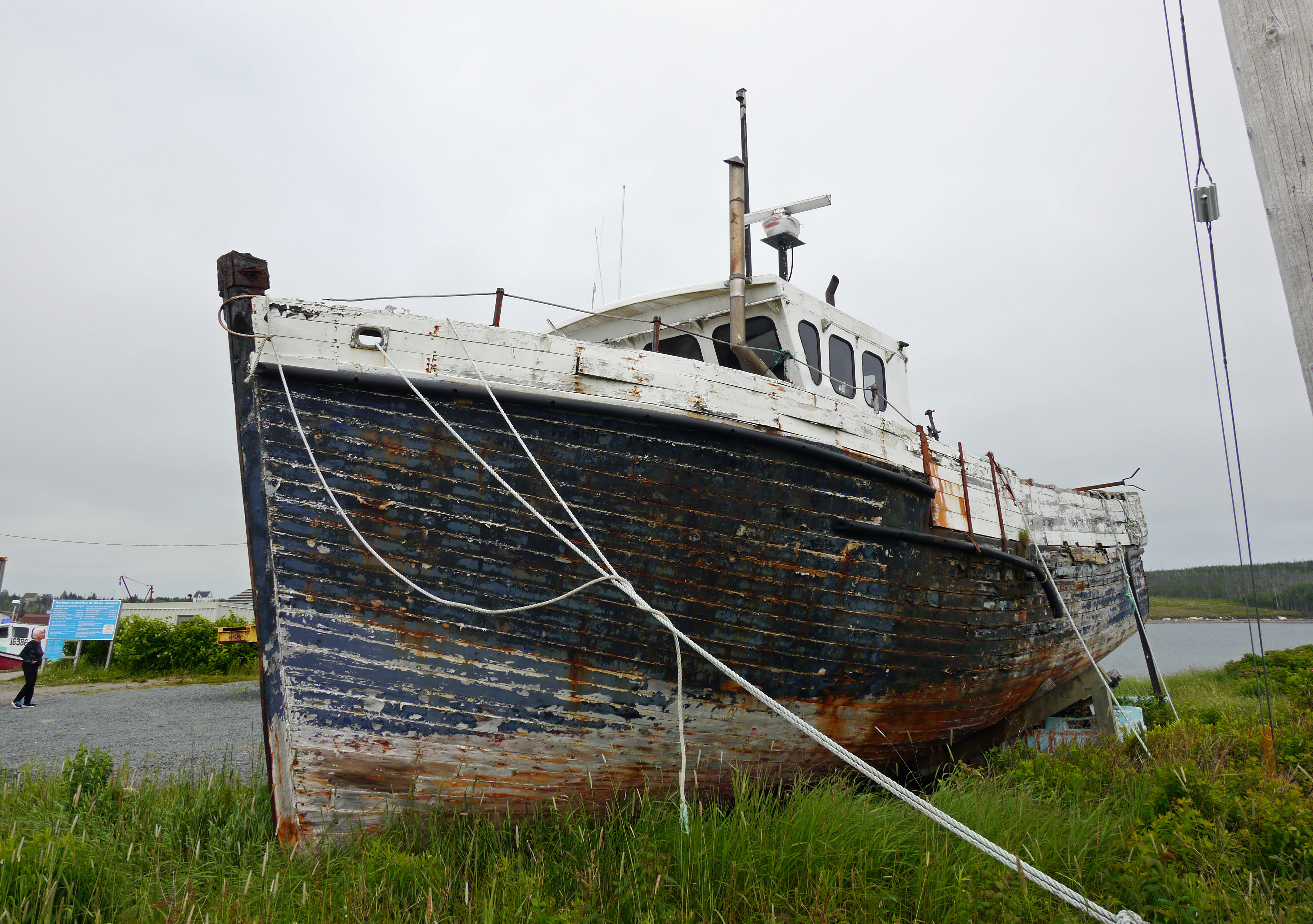
Derelict Tupper
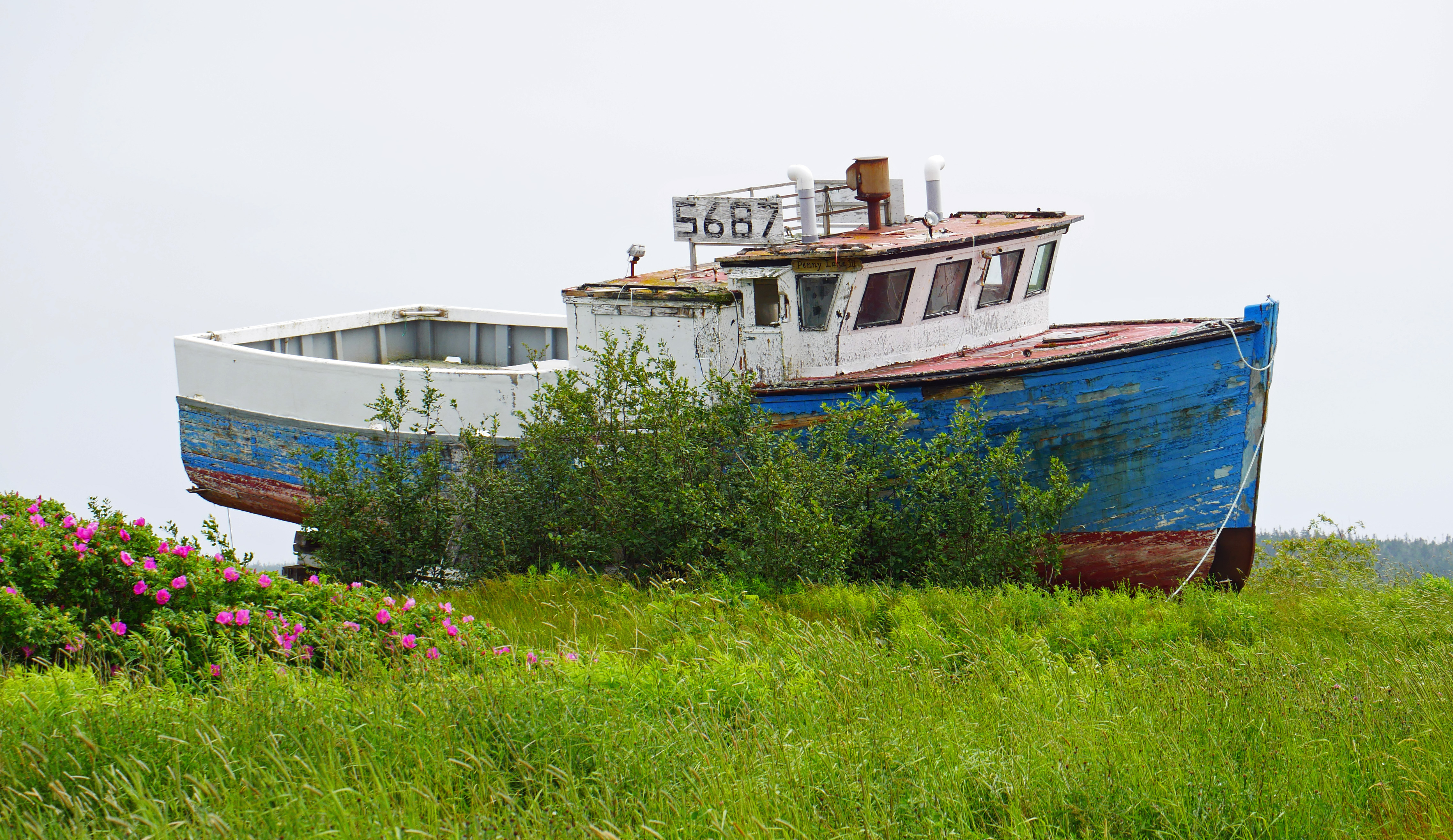
Blue derelict

grapes?
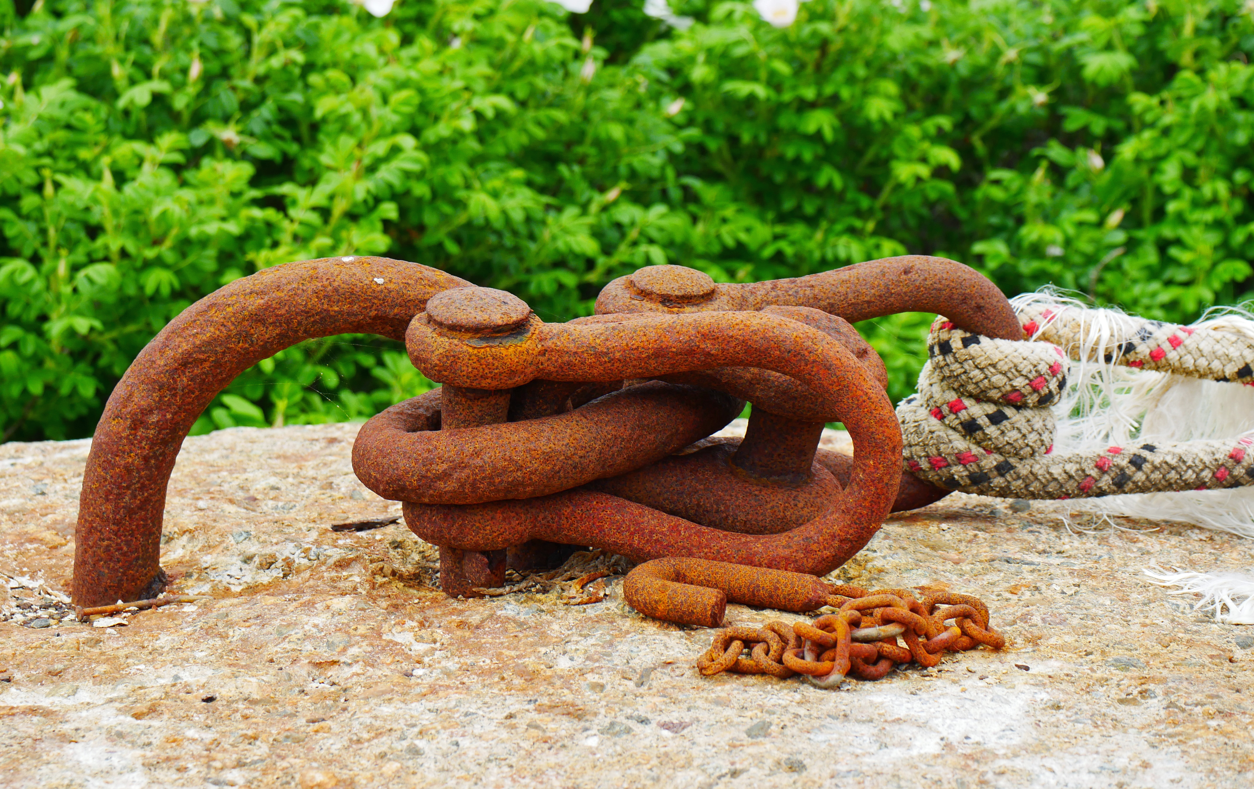
Tie down
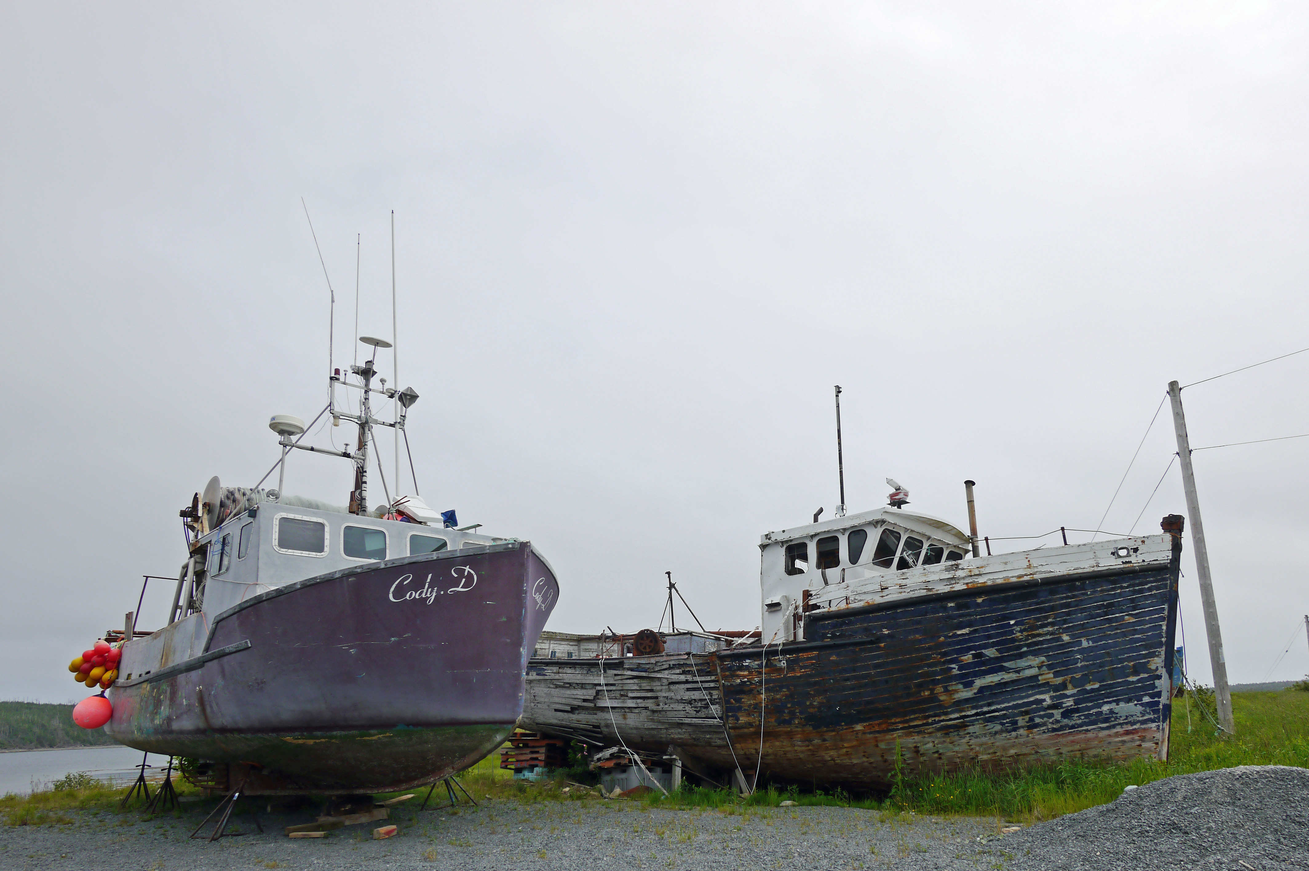
Cody D
wooden boat
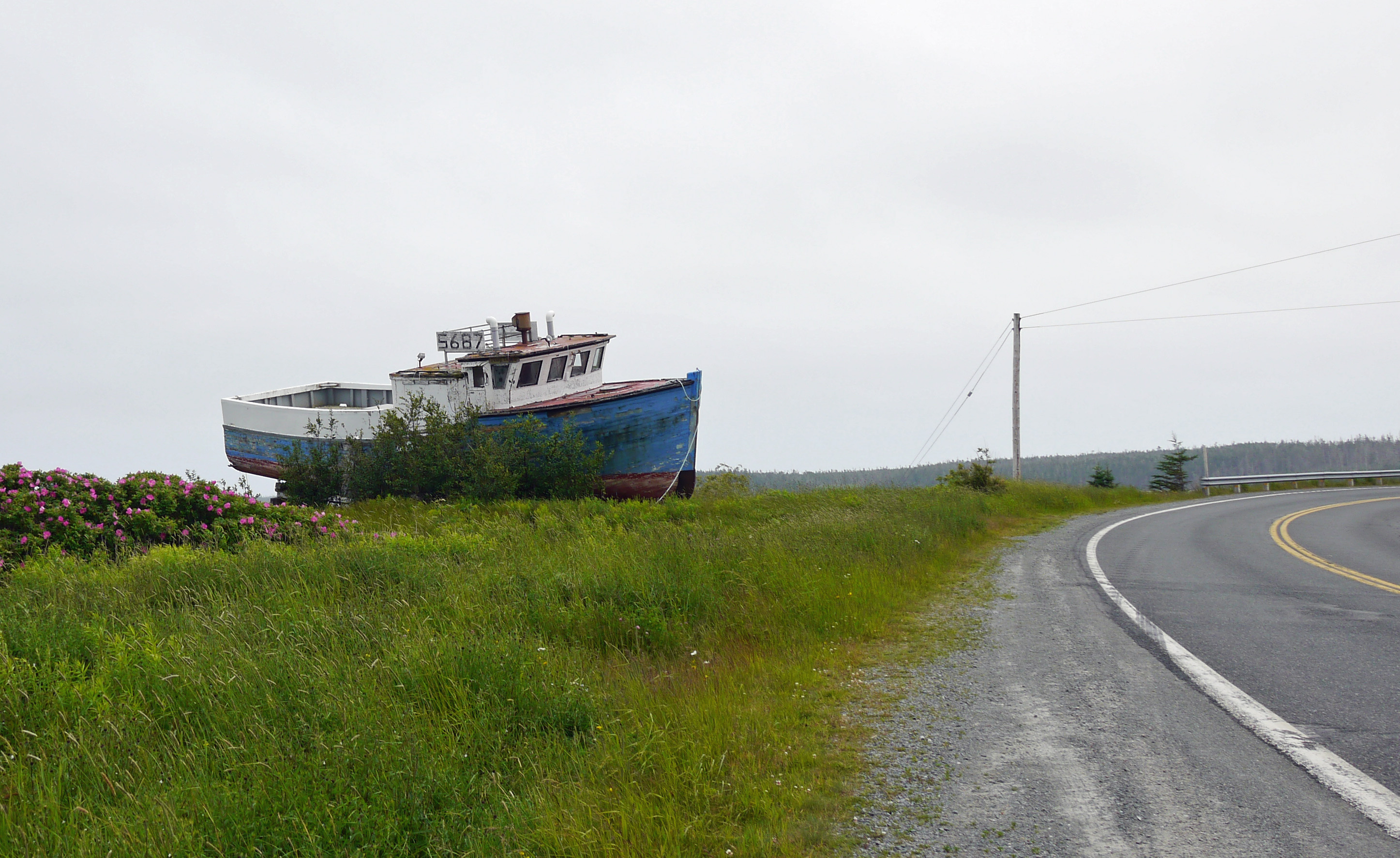
roadside boat

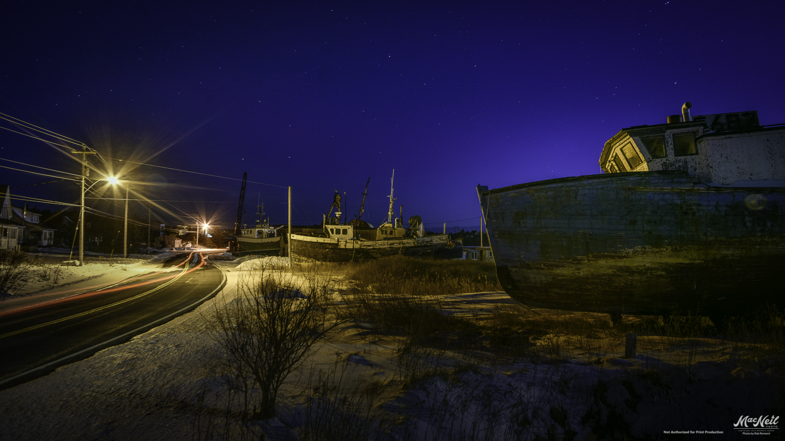
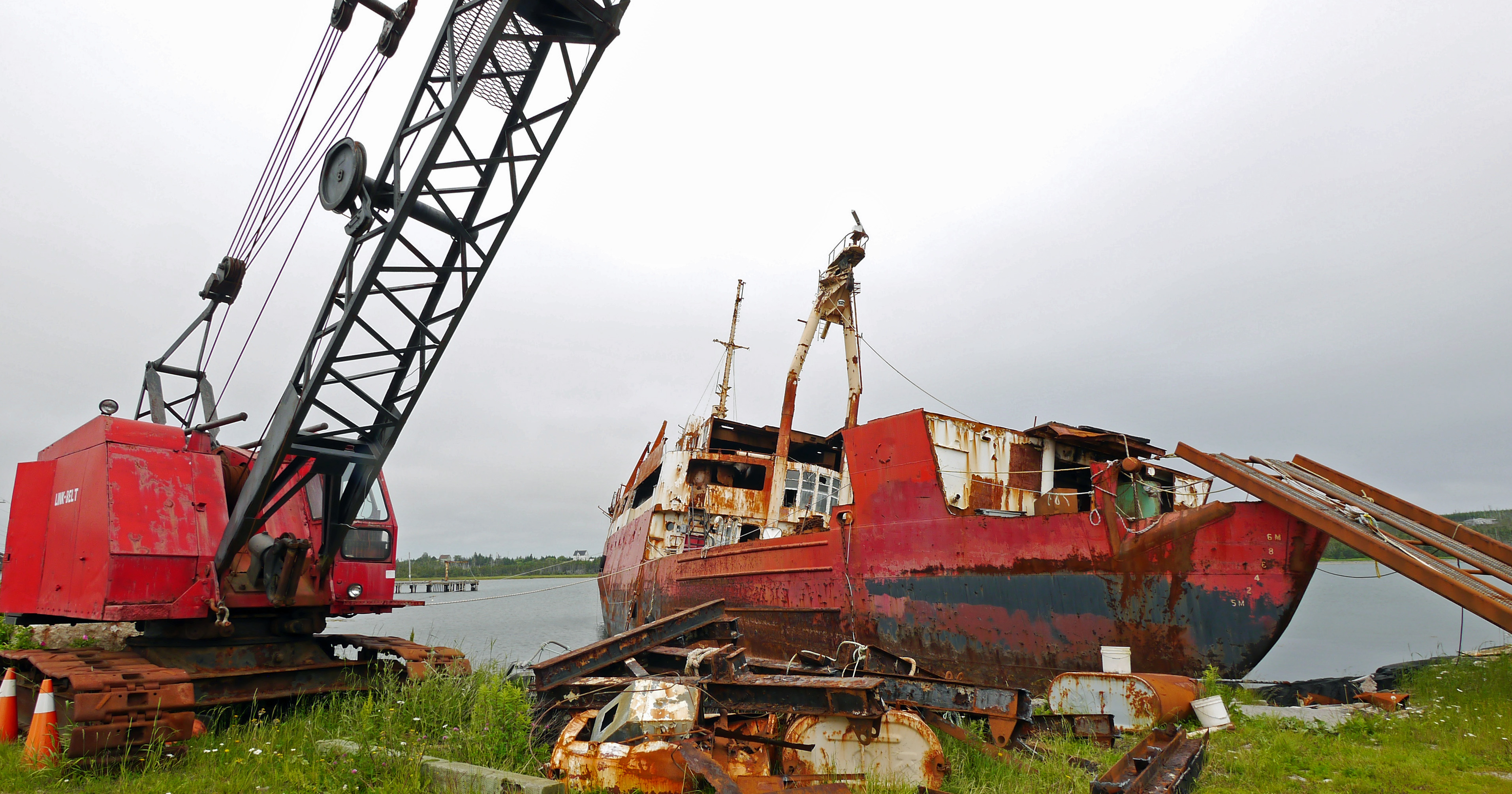
Marine Wrecking Yard
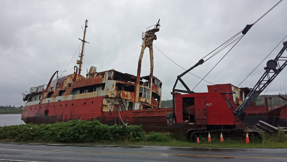
Marine Wrecking Yard
Topographic Map of 79 Mitchell Bay Rd, Mitchell Bay, NS B0J, Canada
Find elevation by address:

Places near 79 Mitchell Bay Rd, Mitchell Bay, NS B0J, Canada:
1644 S Shore Rd
85 Smith Cove Rd, Necum Teuch, NS B0J, Canada
Briggs Rd, Moser River, NS B0J 2K0, Canada
Marine Dr, Moser River, NS B0J 2K0, Canada
Marine Dr, Moser River, NS B0J 2K0, Canada
Ecum Secum
28660 Hwy 7
Moser River
Nauglers Settlement Rd, Moser River, NS B0J, Canada
37 Stan Gammon Loop, Moosehead, NS B0J, Canada
Moosehead
Marie Joseph
Marine Dr, Moser River, NS B0J 2K0, Canada
48 Milts Rd, Harrigan Cove, NS, Canada
17 Three Bridges Rd
Smileys Point Road
Smileys Point Rd, Port Dufferin, NS B0J, Canada
Port Dufferin
Marine Dr, Port Dufferin, NS B0J, Canada
Beaver Harbour
Recent Searches:
- Elevation of Corso Fratelli Cairoli, 35, Macerata MC, Italy
- Elevation of Tallevast Rd, Sarasota, FL, USA
- Elevation of 4th St E, Sonoma, CA, USA
- Elevation of Black Hollow Rd, Pennsdale, PA, USA
- Elevation of Oakland Ave, Williamsport, PA, USA
- Elevation of Pedrógão Grande, Portugal
- Elevation of Klee Dr, Martinsburg, WV, USA
- Elevation of Via Roma, Pieranica CR, Italy
- Elevation of Tavkvetili Mountain, Georgia
- Elevation of Hartfords Bluff Cir, Mt Pleasant, SC, USA