Elevation of 48 Milts Rd, Harrigan Cove, NS, Canada
Location: Canada > Nova Scotia > Halifax Regional Municipality > Halifax >
Longitude: -62.3083059
Latitude: 44.9089677
Elevation: 0m / 0feet
Barometric Pressure: 0KPa
Related Photos:

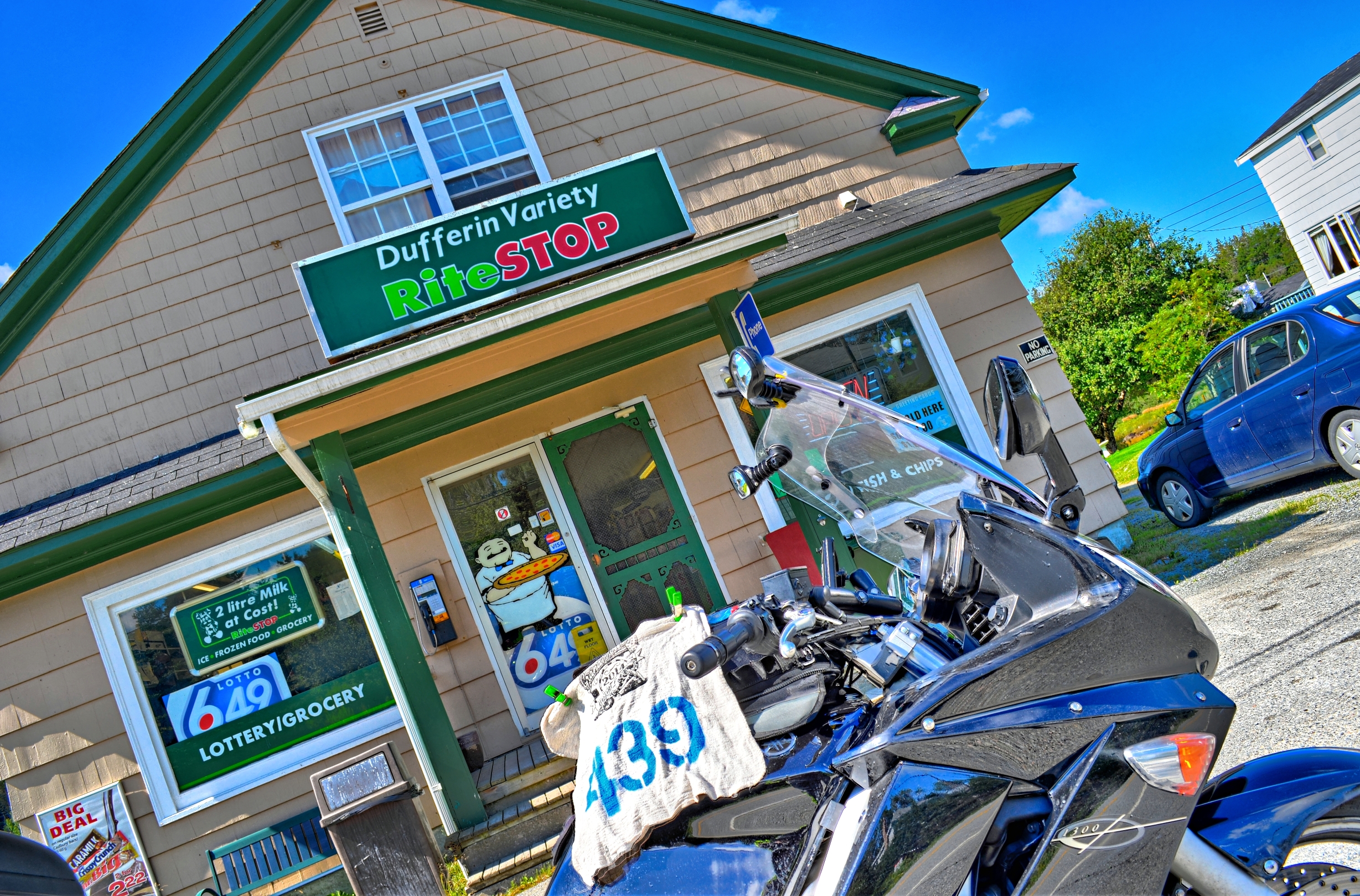
NS2008_0616_57
Dufferin Mines
East Quoddy
Dufferin Mines
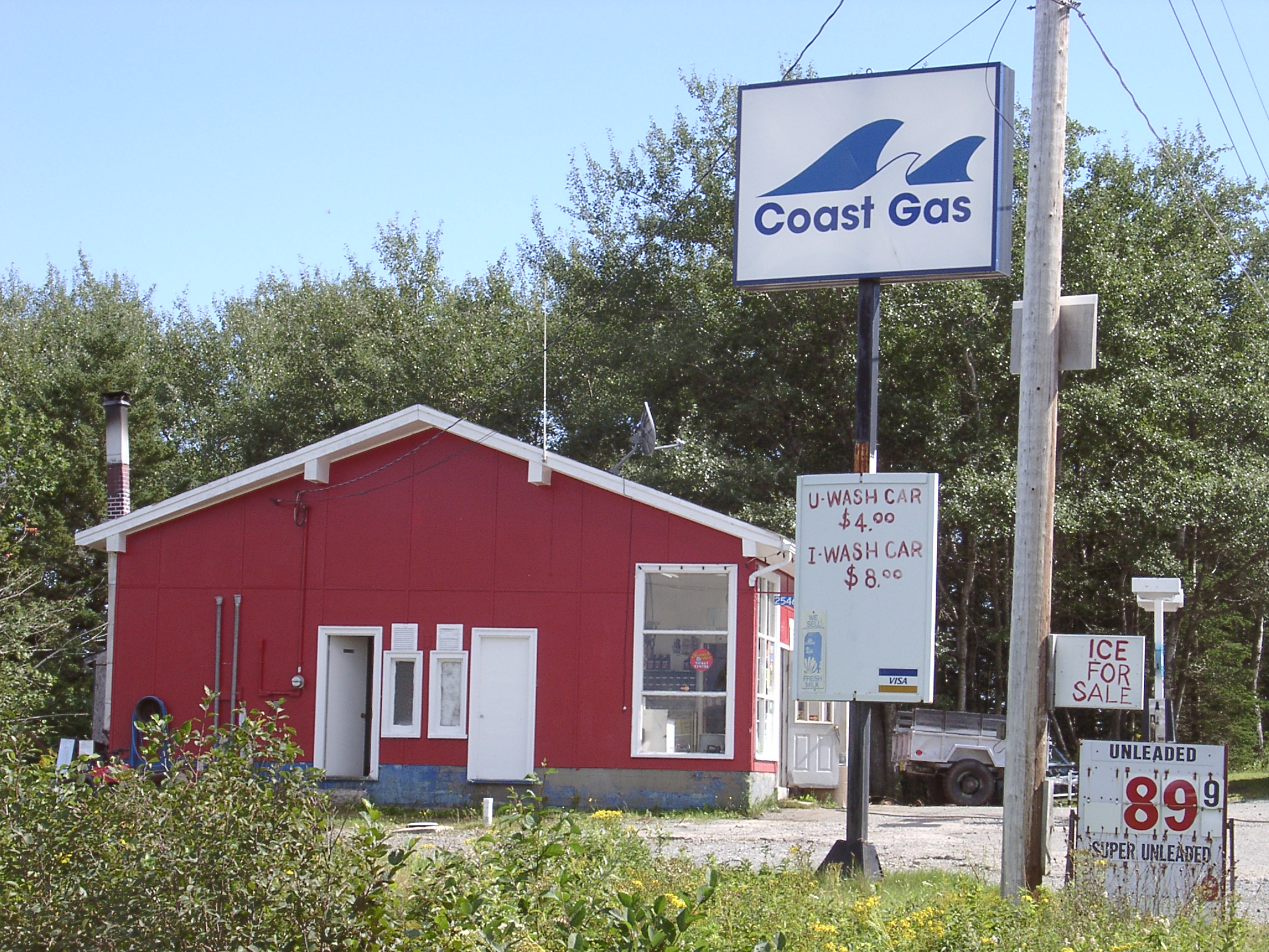
Mitchell Bay
DSC_0492_3_4Enhancer ES

Boreal Chickadee
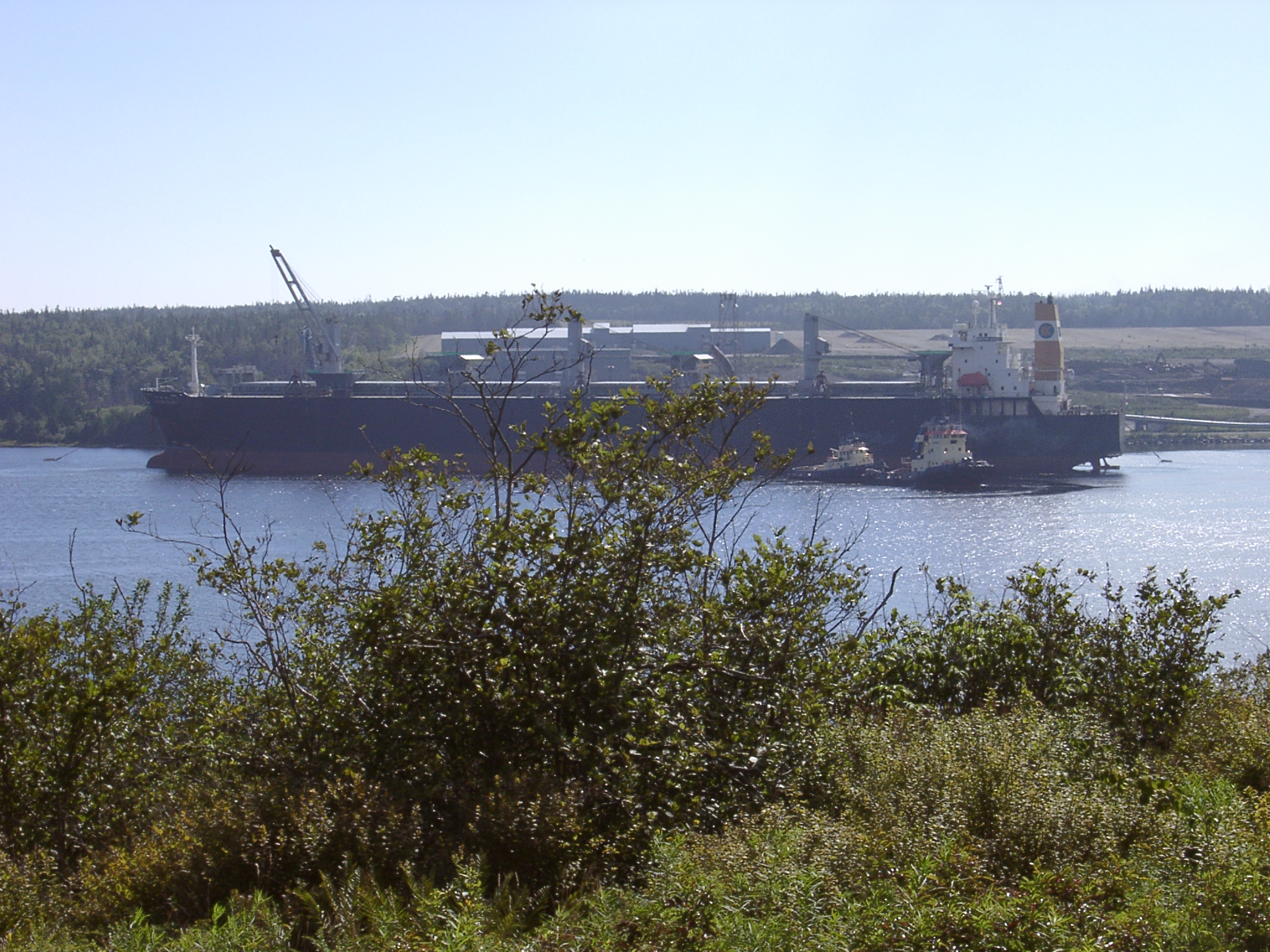
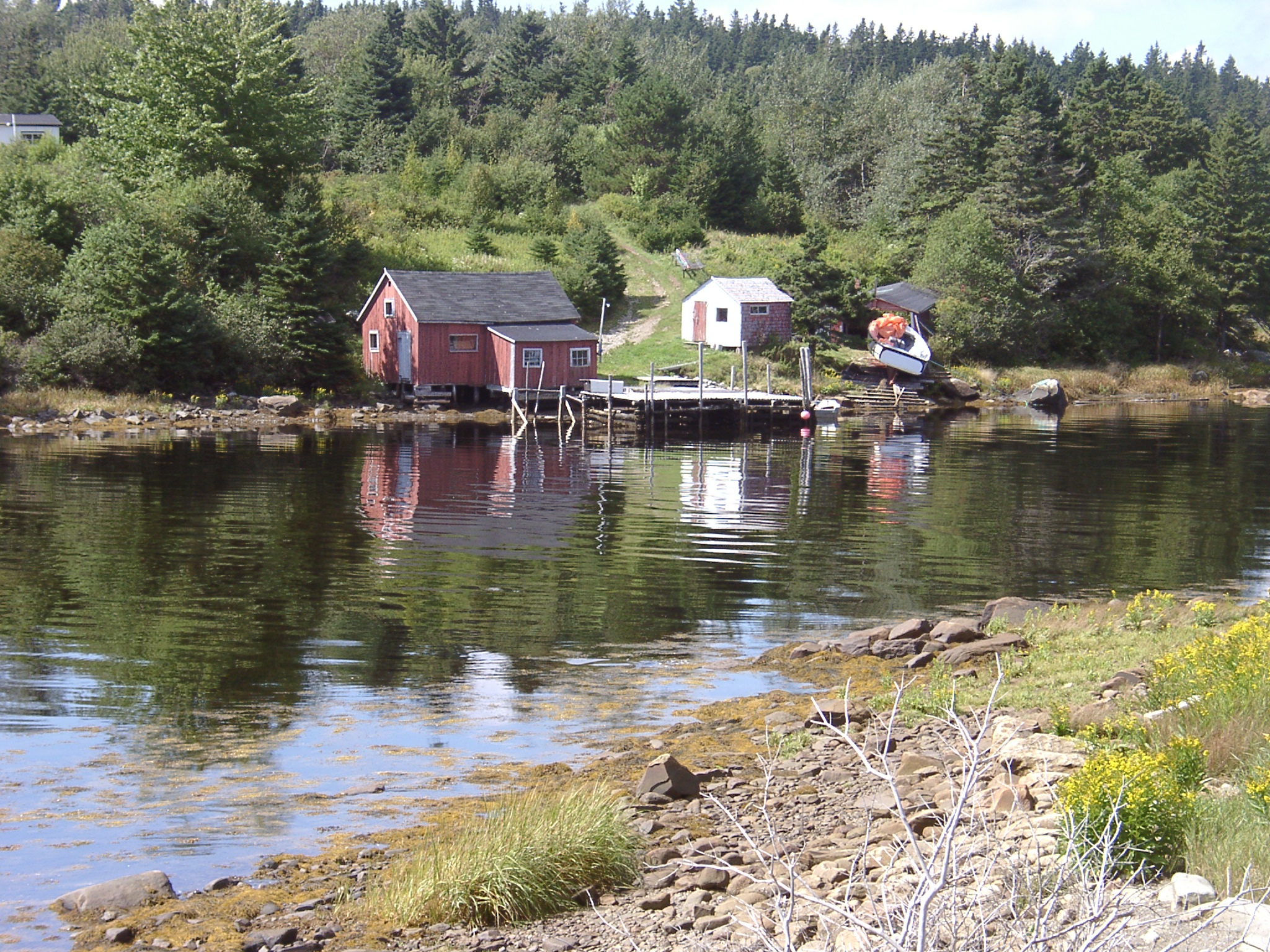
Dufferin Mines
Dufferin Mines

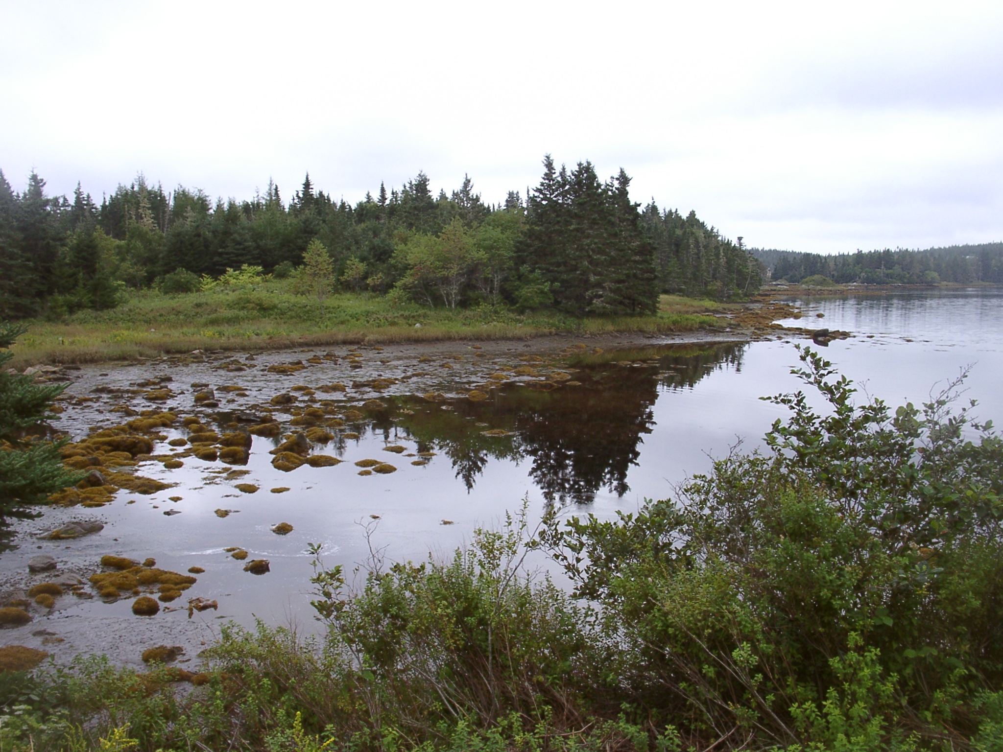
East Quoddy
East Quoddy
East Quoddy
East Quoddy
East Quoddy
East Quoddy
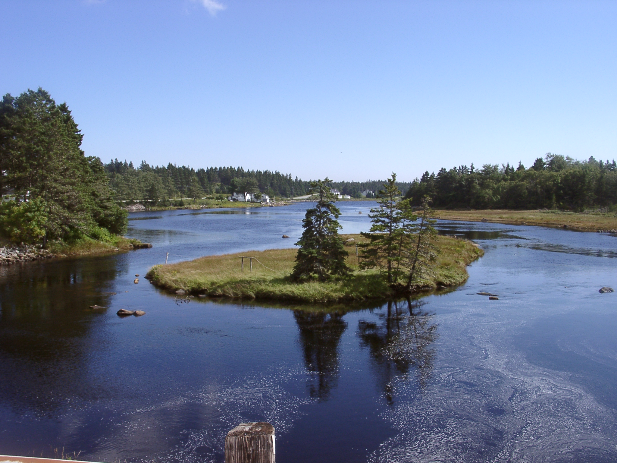
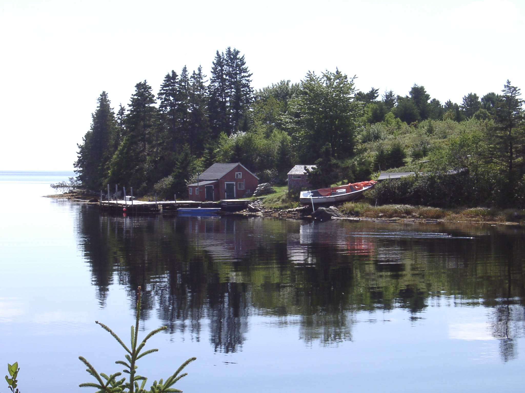
Mitchell Bay
Mitchell Bay
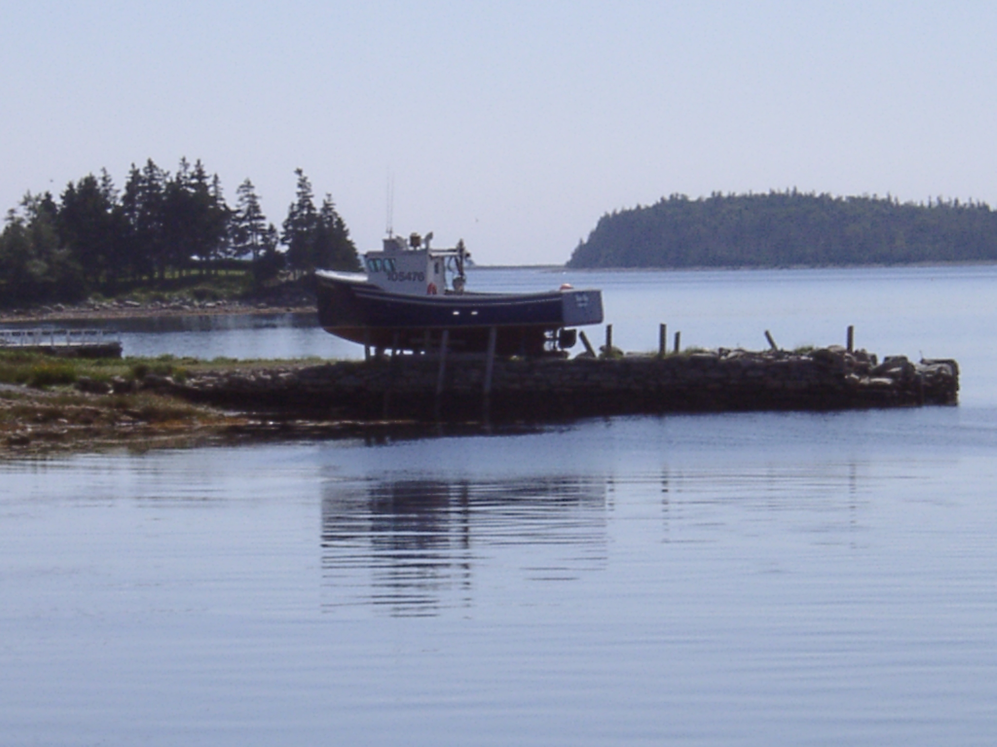
Sheet Island Passage Front
Sheet Island Passage Rear Range

Sheet Island Passage Rear Range
Topographic Map of 48 Milts Rd, Harrigan Cove, NS, Canada
Find elevation by address:

Places near 48 Milts Rd, Harrigan Cove, NS, Canada:
17 Three Bridges Rd
37 Stan Gammon Loop, Moosehead, NS B0J, Canada
Moosehead
Smileys Point Road
Smileys Point Rd, Port Dufferin, NS B0J, Canada
Port Dufferin
Marine Dr, Port Dufferin, NS B0J, Canada
28660 Hwy 7
Moser River
Nauglers Settlement Rd, Moser River, NS B0J, Canada
Beaver Harbour
Passage Rd, Beaver Harbour, NS B0J, Canada
405 Mozier Cove Rd
Sober Island
Mozier Cove Rd, Sober Island, NS B0J, Canada
99 Levys Rd, Sober Island, NS B0J, Canada
B0j 3b0
60 Ocean Dr, Mushaboom, NS B0J, Canada
Mushaboom
Sheet Harbour
Recent Searches:
- Elevation map of Greenland, Greenland
- Elevation of Sullivan Hill, New York, New York, 10002, USA
- Elevation of Morehead Road, Withrow Downs, Charlotte, Mecklenburg County, North Carolina, 28262, USA
- Elevation of 2800, Morehead Road, Withrow Downs, Charlotte, Mecklenburg County, North Carolina, 28262, USA
- Elevation of Yangbi Yi Autonomous County, Yunnan, China
- Elevation of Pingpo, Yangbi Yi Autonomous County, Yunnan, China
- Elevation of Mount Malong, Pingpo, Yangbi Yi Autonomous County, Yunnan, China
- Elevation map of Yongping County, Yunnan, China
- Elevation of North 8th Street, Palatka, Putnam County, Florida, 32177, USA
- Elevation of 107, Big Apple Road, East Palatka, Putnam County, Florida, 32131, USA
- Elevation of Jiezi, Chongzhou City, Sichuan, China
- Elevation of Chongzhou City, Sichuan, China
- Elevation of Huaiyuan, Chongzhou City, Sichuan, China
- Elevation of Qingxia, Chengdu, Sichuan, China
- Elevation of Corso Fratelli Cairoli, 35, Macerata MC, Italy
- Elevation of Tallevast Rd, Sarasota, FL, USA
- Elevation of 4th St E, Sonoma, CA, USA
- Elevation of Black Hollow Rd, Pennsdale, PA, USA
- Elevation of Oakland Ave, Williamsport, PA, USA
- Elevation of Pedrógão Grande, Portugal