Elevation of 71 IL-41, St Augustine, IL, USA
Location: United States > Illinois > Knox County > Indian Point Township > Saint Augustine >
Longitude: -90.406558
Latitude: 40.7244852
Elevation: 188m / 617feet
Barometric Pressure: 99KPa
Elevation Map:
Satellite Map:
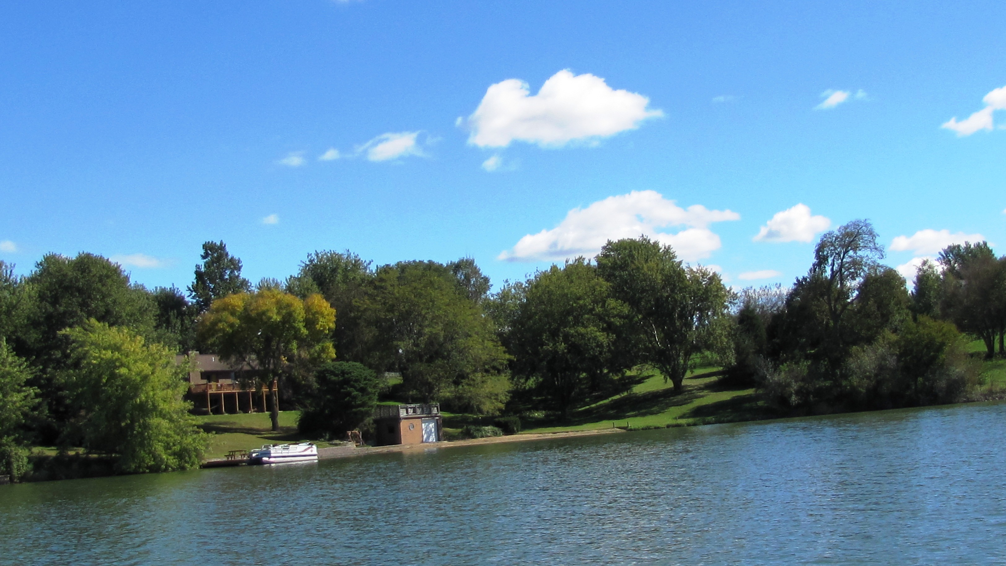
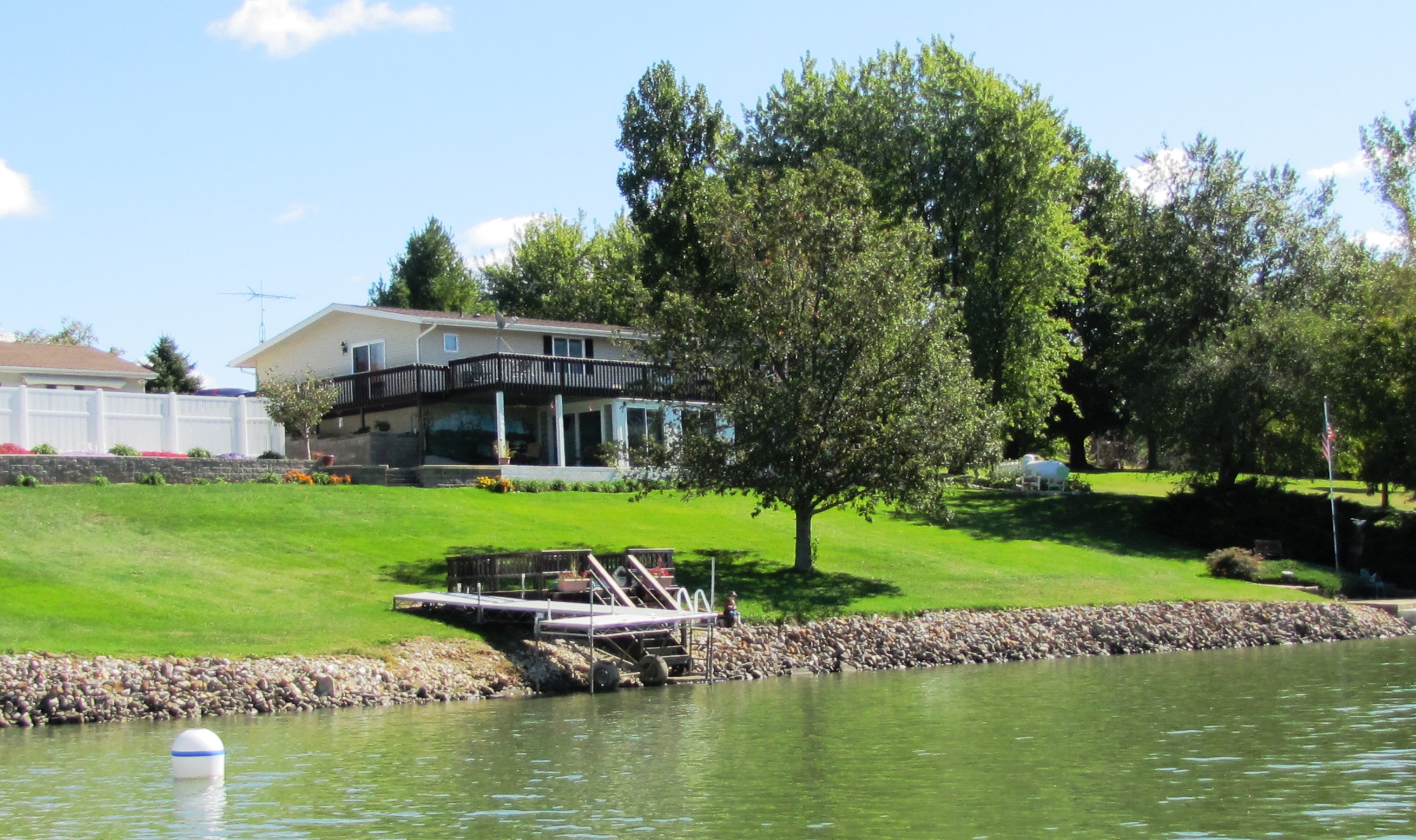
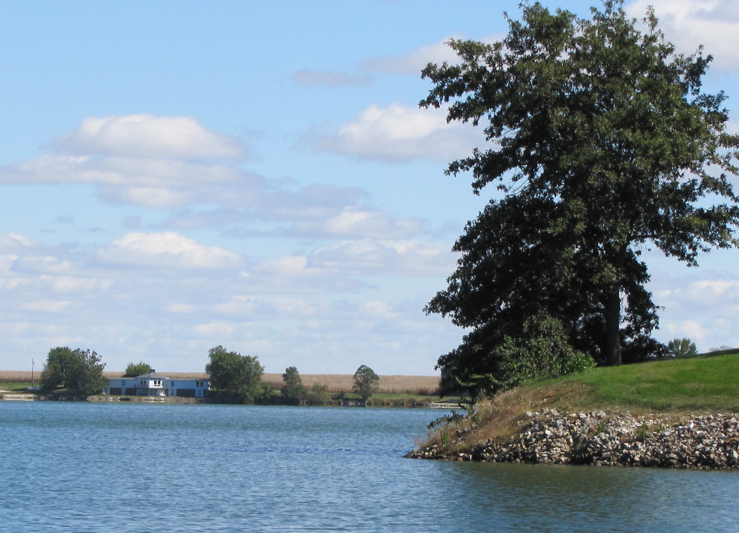
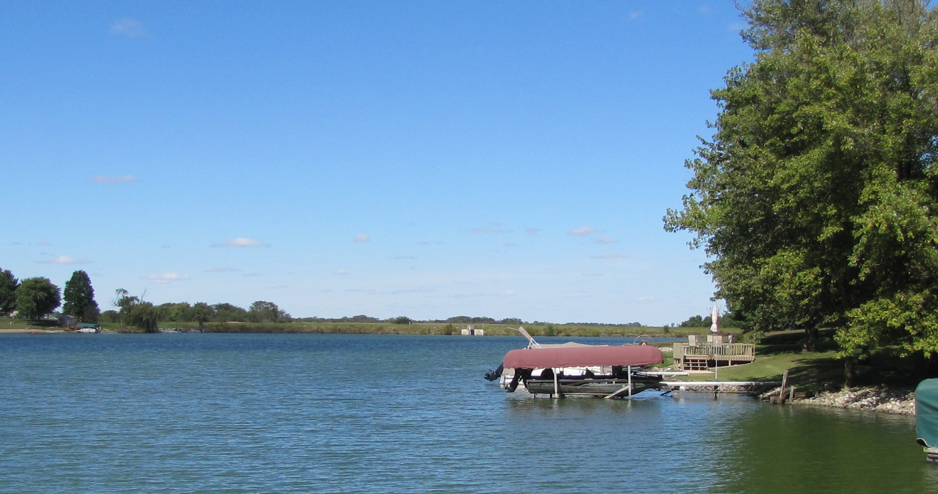
Related Photos:
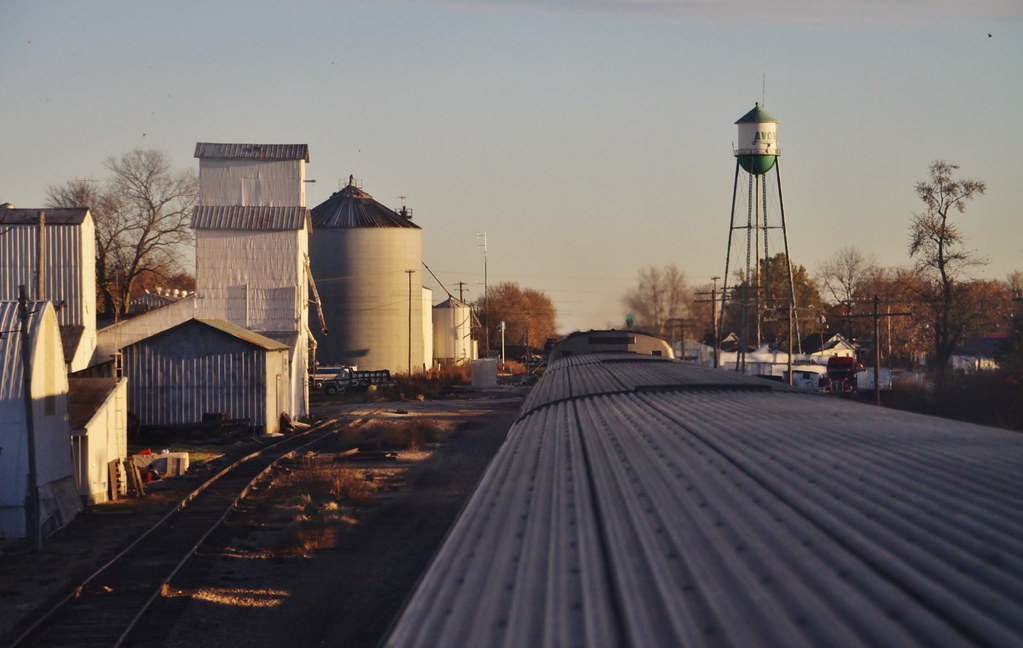
Good morning Avon, how are ya?
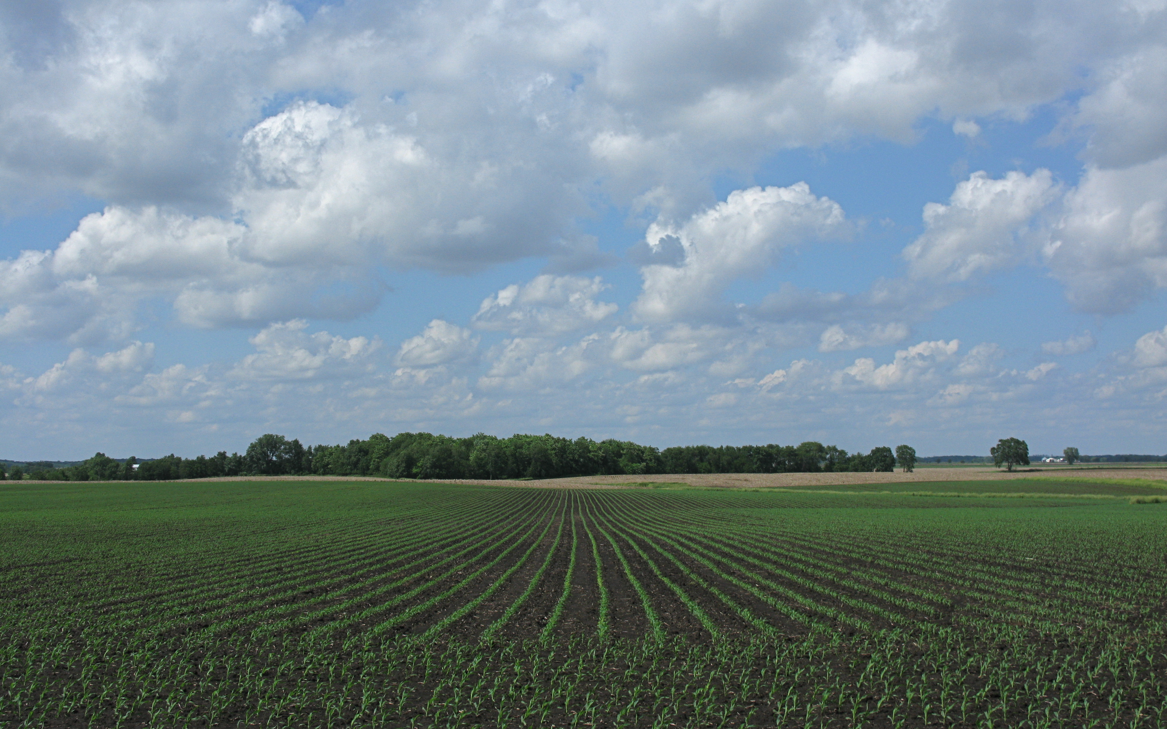
IMG_7828 View North from the Virginia Staggs Farm to Corn Field, under Low Cumulus Clouds
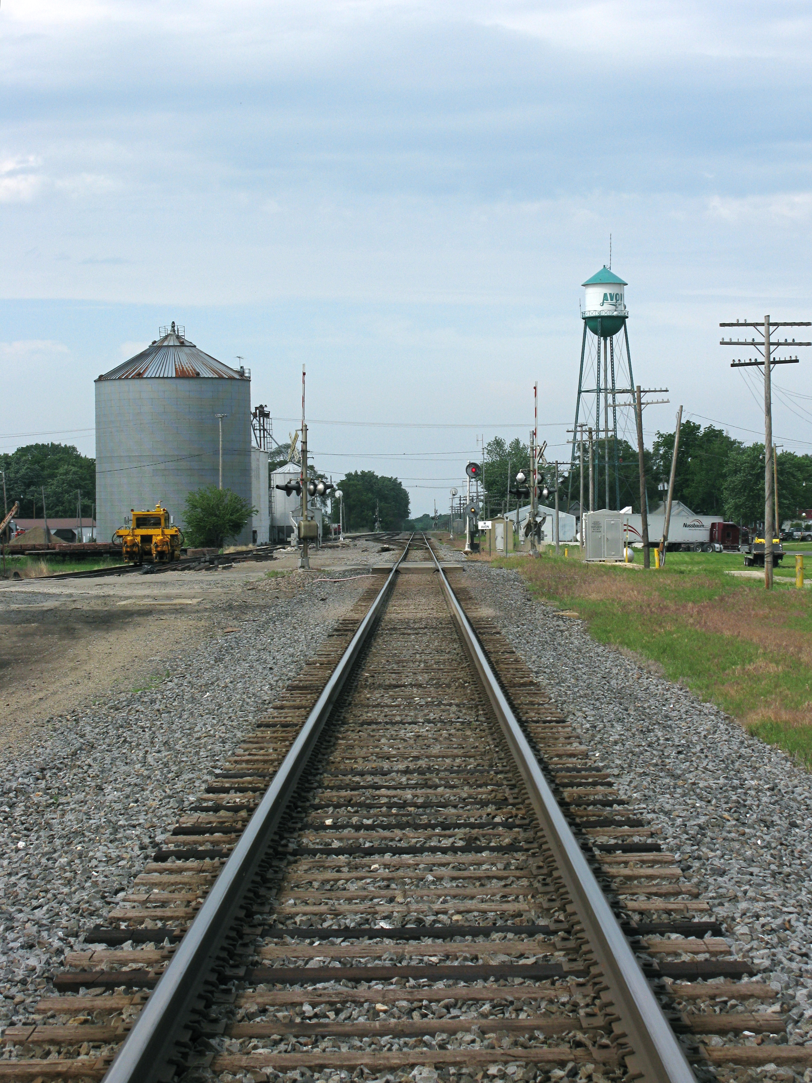
IMG_7793 View North along the BNSE Railway Track in Avon, Illinois

IMG_7952 1953 Garden Green Packard 300 with Straight 8 Engine, Side View
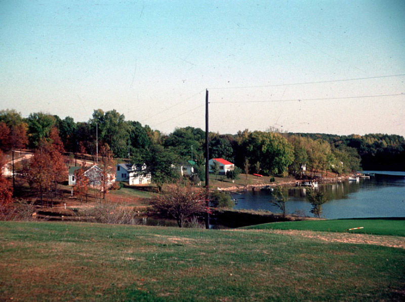
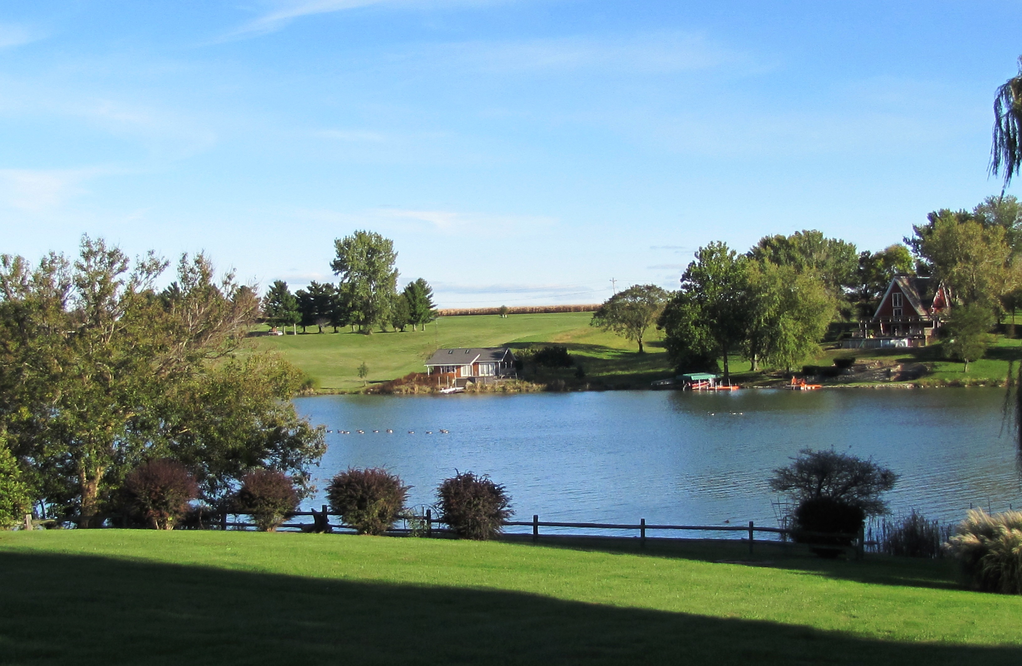
View across #12 at Lake Bracken CC - 1954
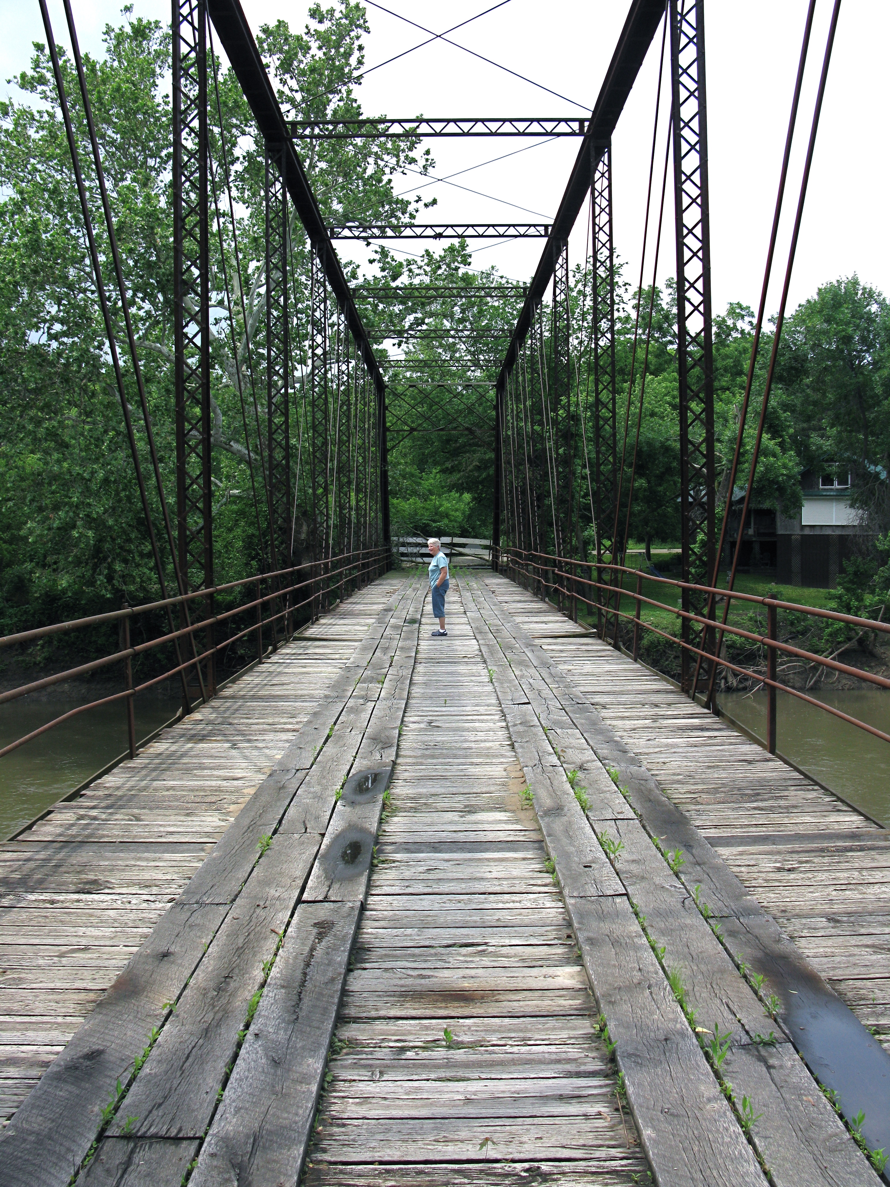
IMG_7804 The Old Babylon Bend Bridge (1890). Roadway view.
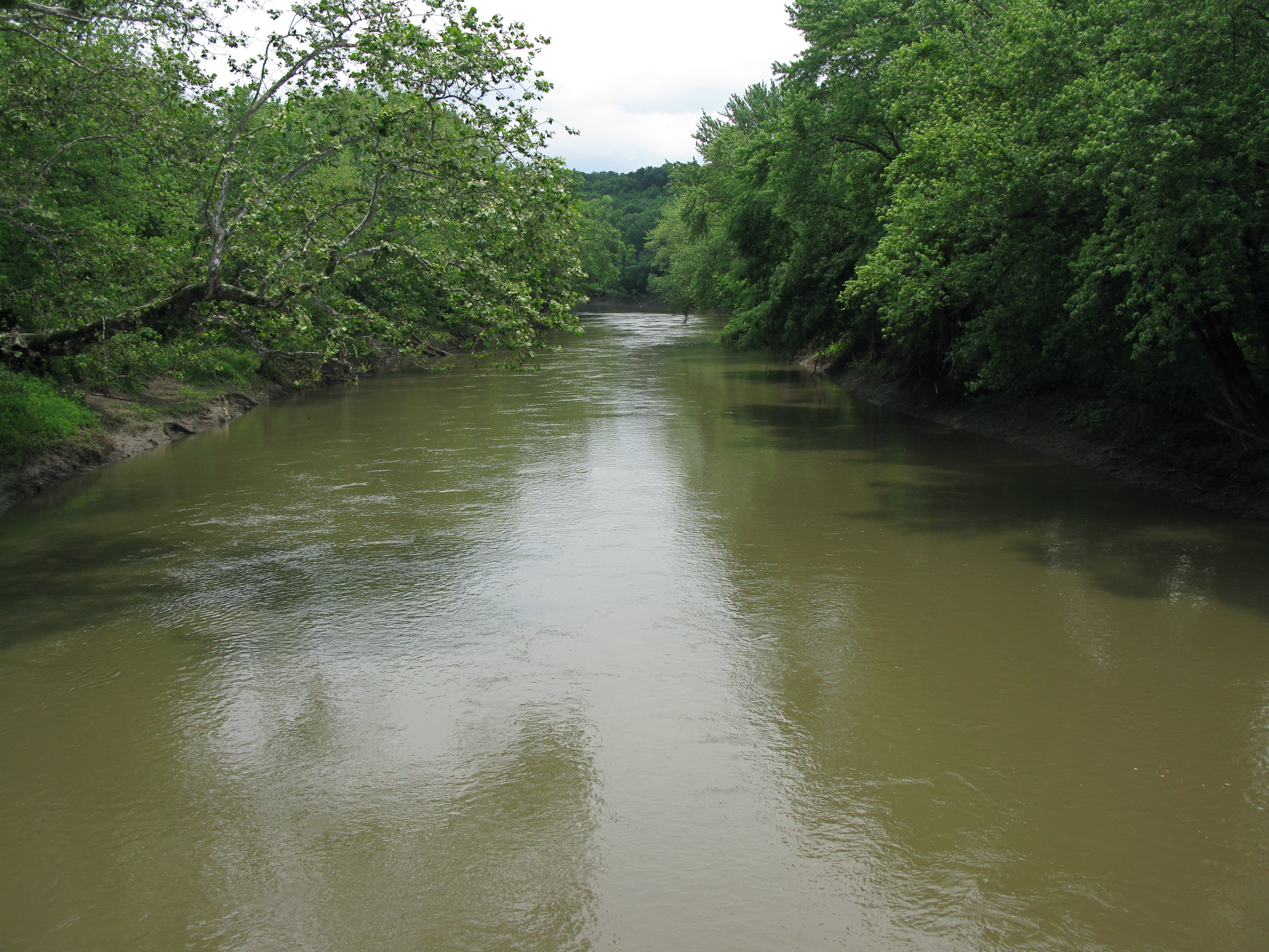
IMG_7808 The Swollen Spoon River Viewed from the Old Babylon Bend Bridge

.
.
.

Spillway after 6" rain, July 1951
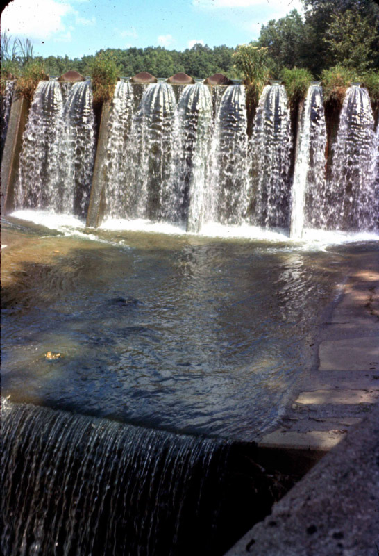
Lake Bracken spillway - 1960

#skyline #sunsetview #Illinois

Abingdon sunset
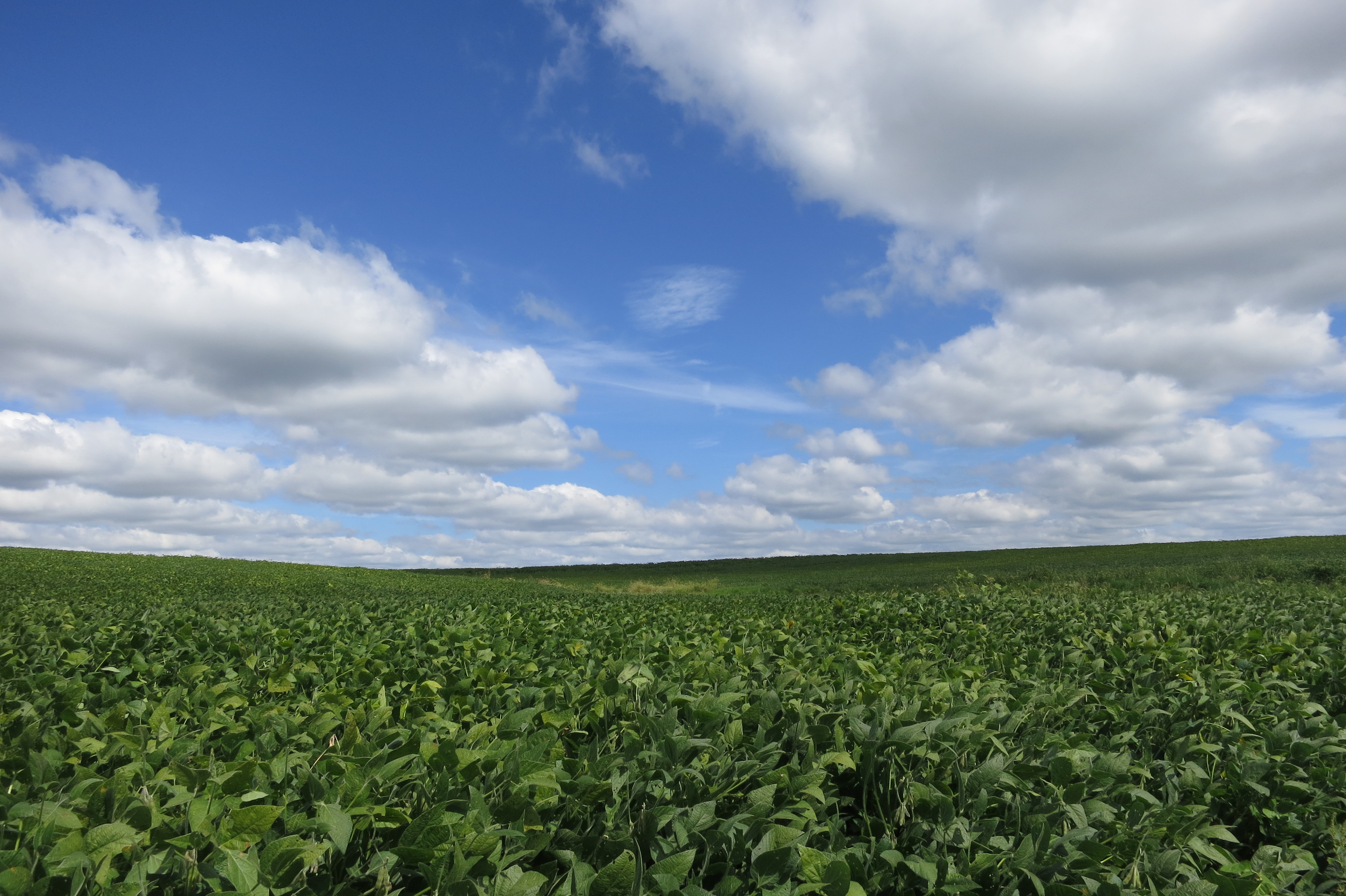
IMG_1024 Field of Soy Beans near Avon, Illinois
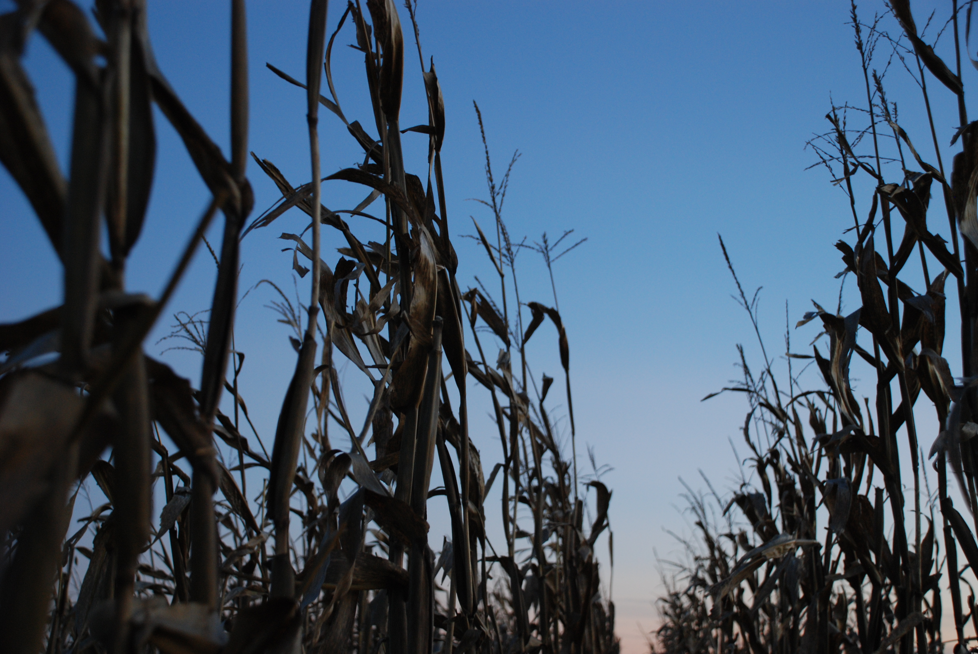
corn stalks
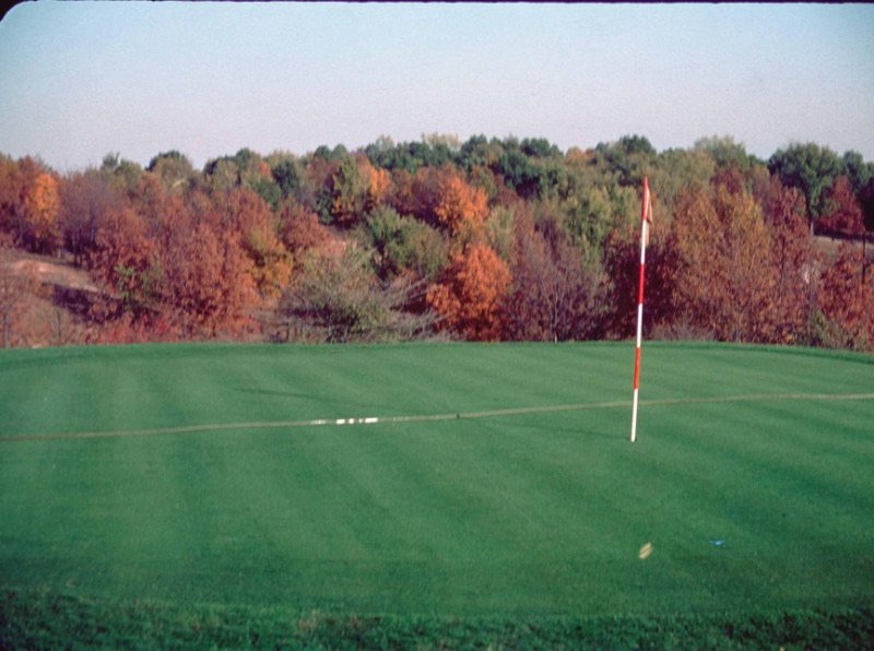
Lake Bracken CC - # 12 green - 1954
.
.
.
.
.
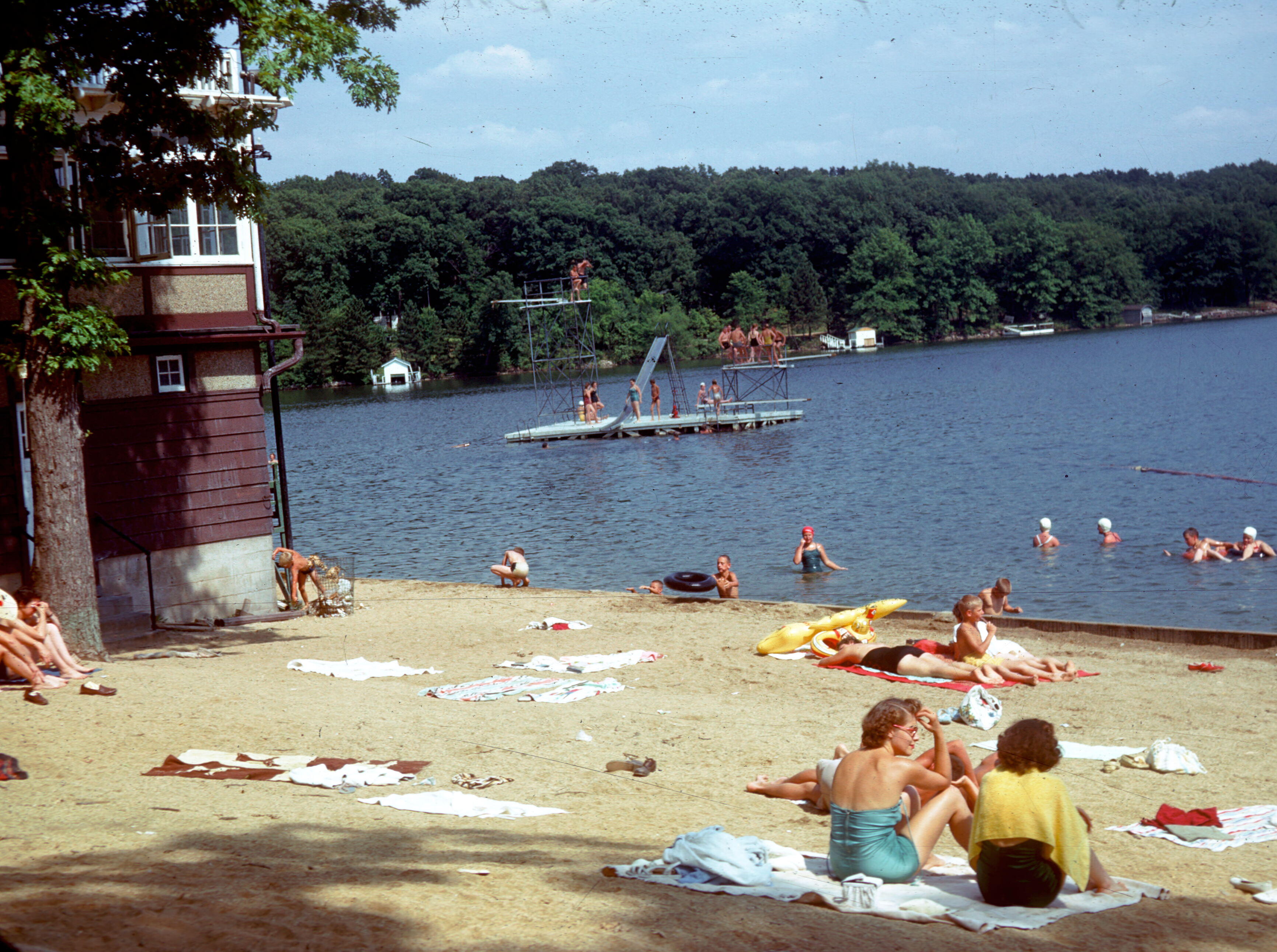
A sunny day at the beach
.
.
.
Topographic Map of 71 IL-41, St Augustine, IL, USA
Find elevation by address:

Places near 71 IL-41, St Augustine, IL, USA:
Saint Augustine
Indian Point Township
Avon
Union Township
Ingersoll Scout Reservation
E Main St, Prairie City, IL, USA
London Mills
Bushnell Township
N th Rd, Good Hope, IL, USA
707 N Washington St
Bushnell
E Main St, Bushnell, IL, USA
Swan Township
Marietta
Harris Township
18005 Il-9
Maquon Township
East Bryan Road
Fulton County
70 St, Roseville, IL, USA
Recent Searches:
- Elevation of Corso Fratelli Cairoli, 35, Macerata MC, Italy
- Elevation of Tallevast Rd, Sarasota, FL, USA
- Elevation of 4th St E, Sonoma, CA, USA
- Elevation of Black Hollow Rd, Pennsdale, PA, USA
- Elevation of Oakland Ave, Williamsport, PA, USA
- Elevation of Pedrógão Grande, Portugal
- Elevation of Klee Dr, Martinsburg, WV, USA
- Elevation of Via Roma, Pieranica CR, Italy
- Elevation of Tavkvetili Mountain, Georgia
- Elevation of Hartfords Bluff Cir, Mt Pleasant, SC, USA