Elevation of 70 St, Roseville, IL, USA
Location: United States > Illinois > Warren County > Swan Township >
Longitude: -90.6544095
Latitude: 40.6698103
Elevation: 238m / 781feet
Barometric Pressure: 0KPa
Related Photos:

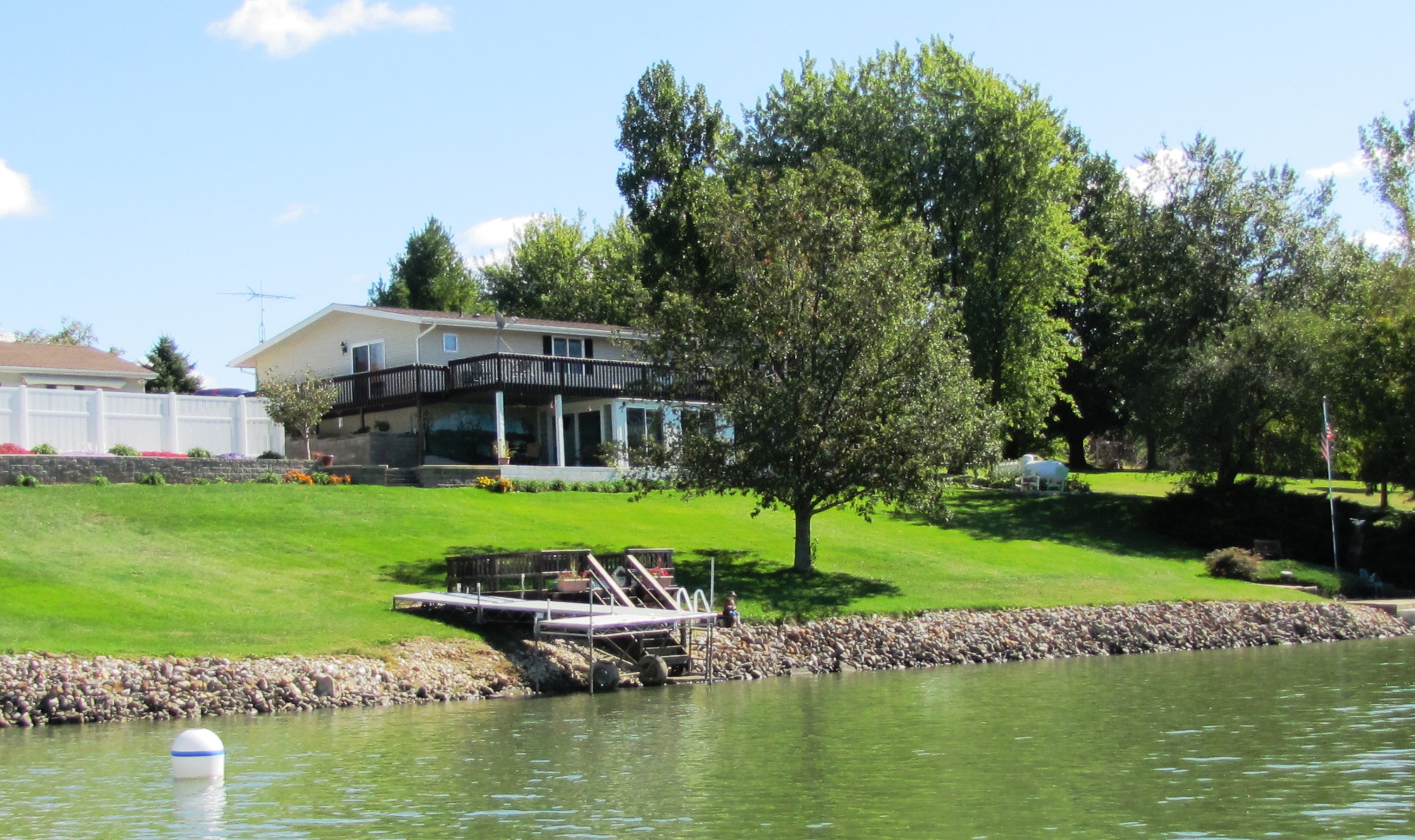
Girls Rule
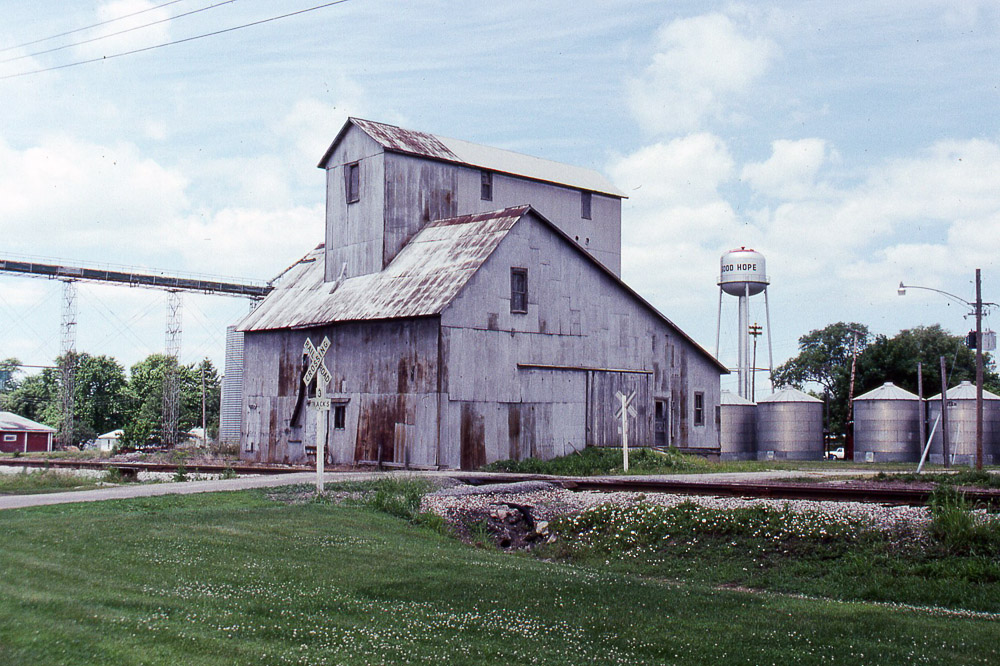
the grain elevator at Good Hope IL on the former TP&W on 6/16/91
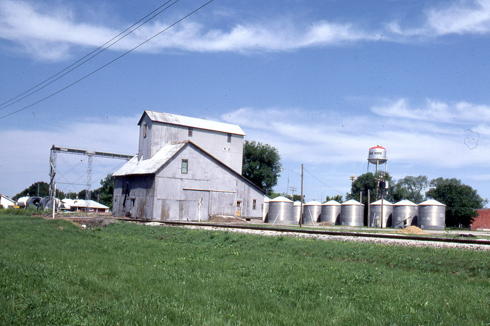
Grain elevator in Good Hope IL on the TP&W on 6/6/81.

Ghost Barn
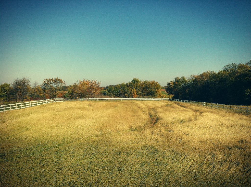
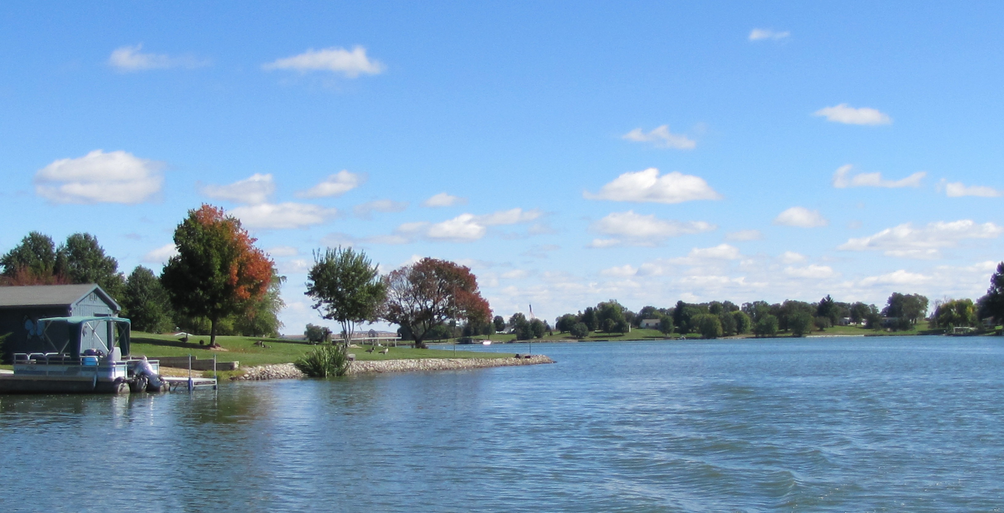
Swell Season
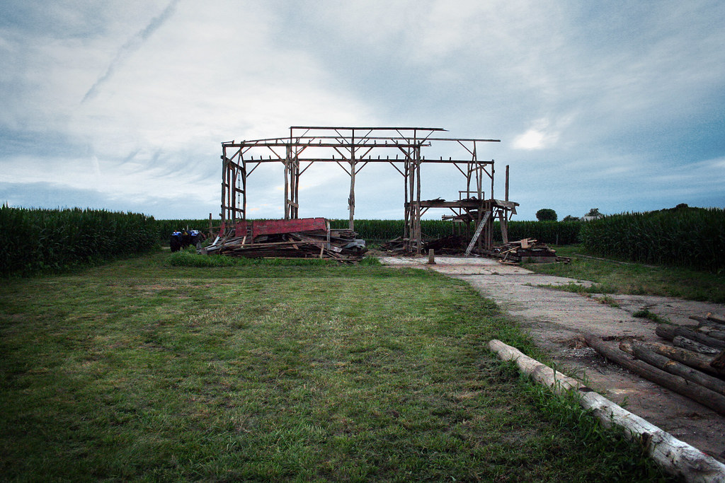
Wooden Bones

.

Sunshine Day
.

.
.
.
.
.
.
.
.

.

.
.
.

.
Topographic Map of 70 St, Roseville, IL, USA
Find elevation by address:

Places near 70 St, Roseville, IL, USA:
Swan Township
N th Rd, Good Hope, IL, USA
Good Hope
E Main St, Good Hope, IL, USA
Sciota Township
Sciota
County Rd E, Sciota, IL, USA
18005 Il-9
Spring Lake Park
Main St, Raritan, IL, USA
Raritan
707 N Washington St
Harry Mussatto Golf Course
E Main St, Bushnell, IL, USA
Bushnell
Bushnell Township
1406 N Randolph St
Raritan Township
Western Illinois University
3 Woodland Ln, Macomb, IL, USA
Recent Searches:
- Elevation map of Greenland, Greenland
- Elevation of Sullivan Hill, New York, New York, 10002, USA
- Elevation of Morehead Road, Withrow Downs, Charlotte, Mecklenburg County, North Carolina, 28262, USA
- Elevation of 2800, Morehead Road, Withrow Downs, Charlotte, Mecklenburg County, North Carolina, 28262, USA
- Elevation of Yangbi Yi Autonomous County, Yunnan, China
- Elevation of Pingpo, Yangbi Yi Autonomous County, Yunnan, China
- Elevation of Mount Malong, Pingpo, Yangbi Yi Autonomous County, Yunnan, China
- Elevation map of Yongping County, Yunnan, China
- Elevation of North 8th Street, Palatka, Putnam County, Florida, 32177, USA
- Elevation of 107, Big Apple Road, East Palatka, Putnam County, Florida, 32131, USA
- Elevation of Jiezi, Chongzhou City, Sichuan, China
- Elevation of Chongzhou City, Sichuan, China
- Elevation of Huaiyuan, Chongzhou City, Sichuan, China
- Elevation of Qingxia, Chengdu, Sichuan, China
- Elevation of Corso Fratelli Cairoli, 35, Macerata MC, Italy
- Elevation of Tallevast Rd, Sarasota, FL, USA
- Elevation of 4th St E, Sonoma, CA, USA
- Elevation of Black Hollow Rd, Pennsdale, PA, USA
- Elevation of Oakland Ave, Williamsport, PA, USA
- Elevation of Pedrógão Grande, Portugal