Elevation of Good Hope, IL, USA
Location: United States > Illinois > Mcdonough County > Sciota Township >
Longitude: -90.673464
Latitude: 40.5578178
Elevation: 216m / 709feet
Barometric Pressure: 99KPa
Elevation Map:
Satellite Map:
Related Photos:
Bushnell Panorama
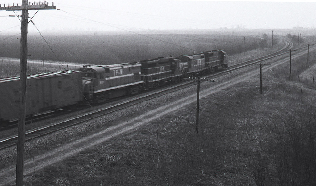
the grain elevator at Good Hope IL on the former TP&W on 6/16/91

Macomb No. 3
TP&W #902 Bushnell, Illinois 1971 #1
Grain elevator in Good Hope IL on the TP&W on 6/6/81.

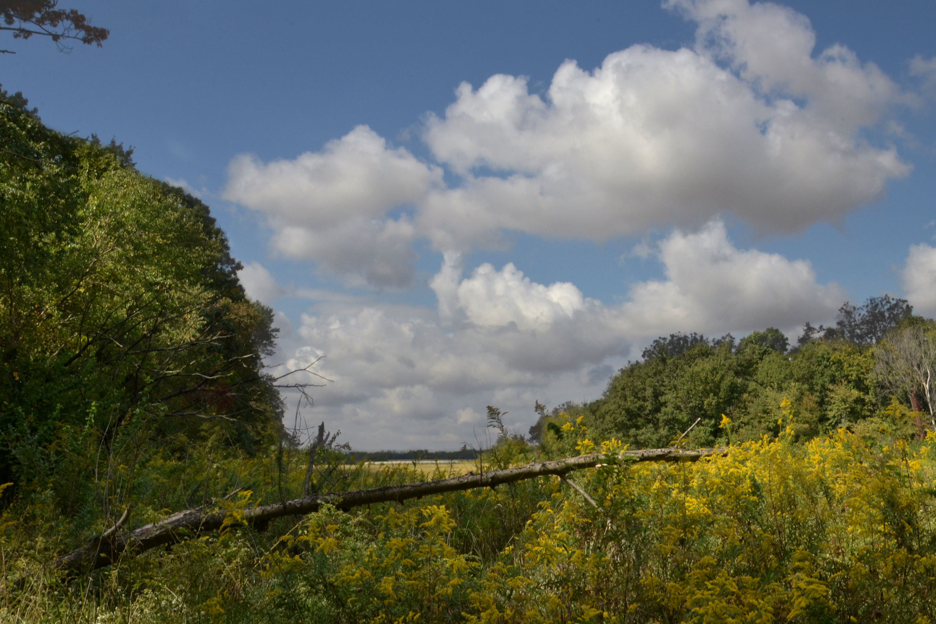
Roadside Surprise
TP&W #902 Bushnell, Illinois 1971 #2
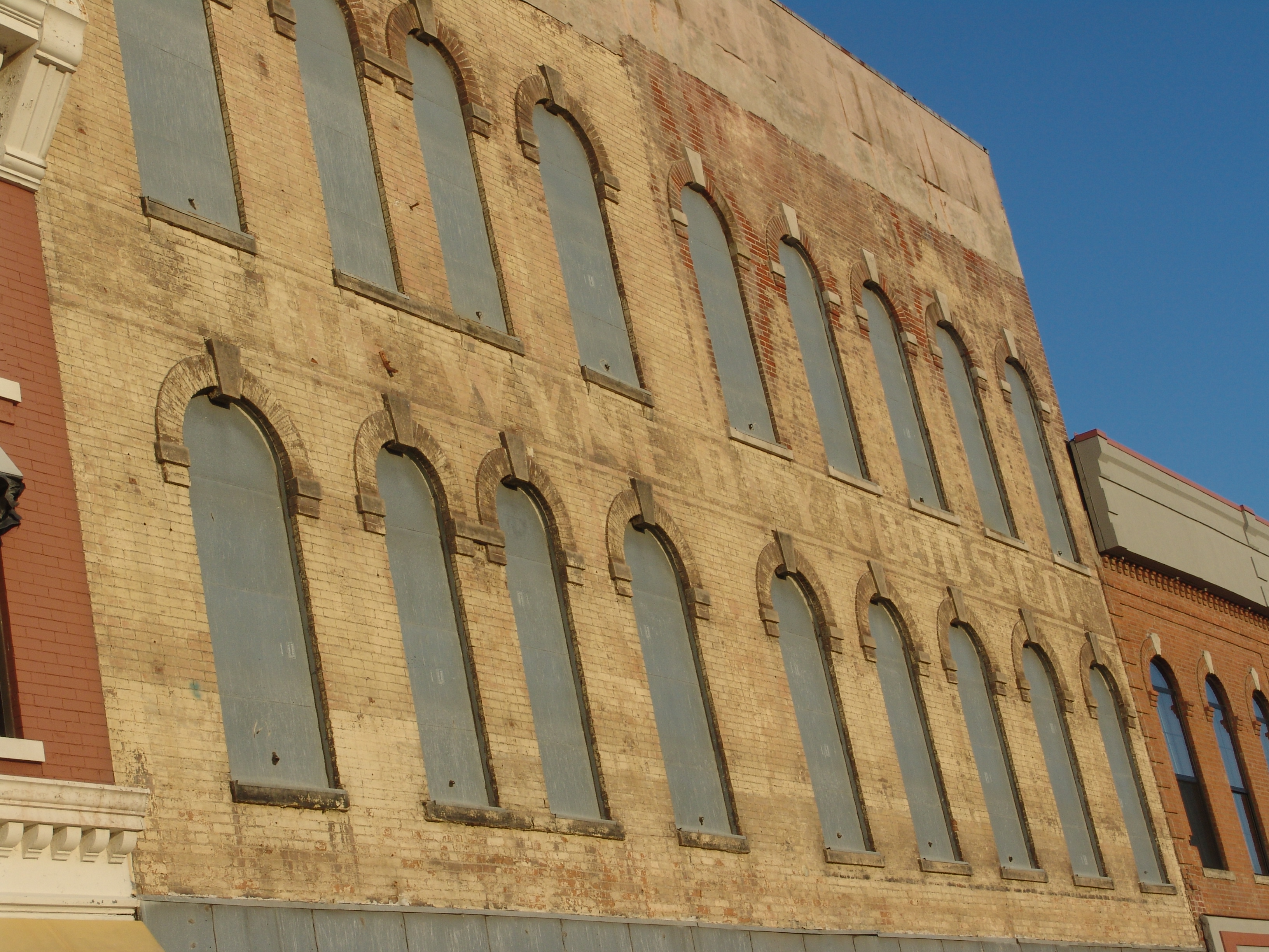
The Wyne Dry Goods Co., Macomb, IL
Across the Road
.

Ancient Hump Ring: Western Berth
State Park

Old Macomb Cemetery
Dead Tree, La Moine River
Old Macomb Cemetery

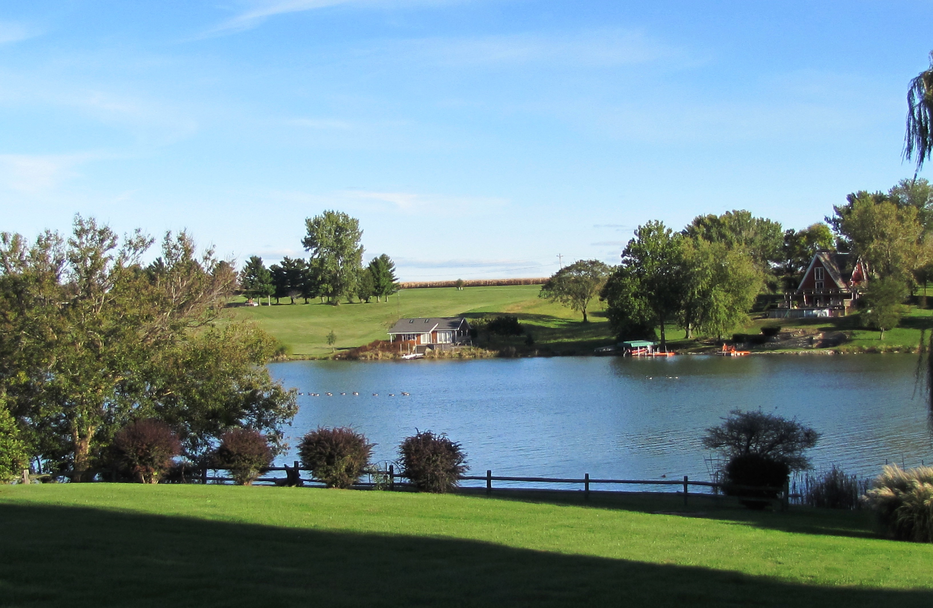
Argyle Lake State Park
Bark Detail, La Moine River

Studio Photography
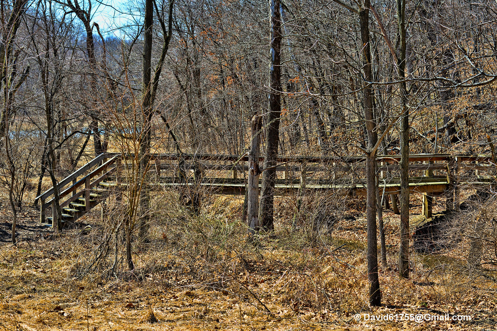
Argyle Trails 9-25-11
Dorothy, Follow the Wooden Path
.
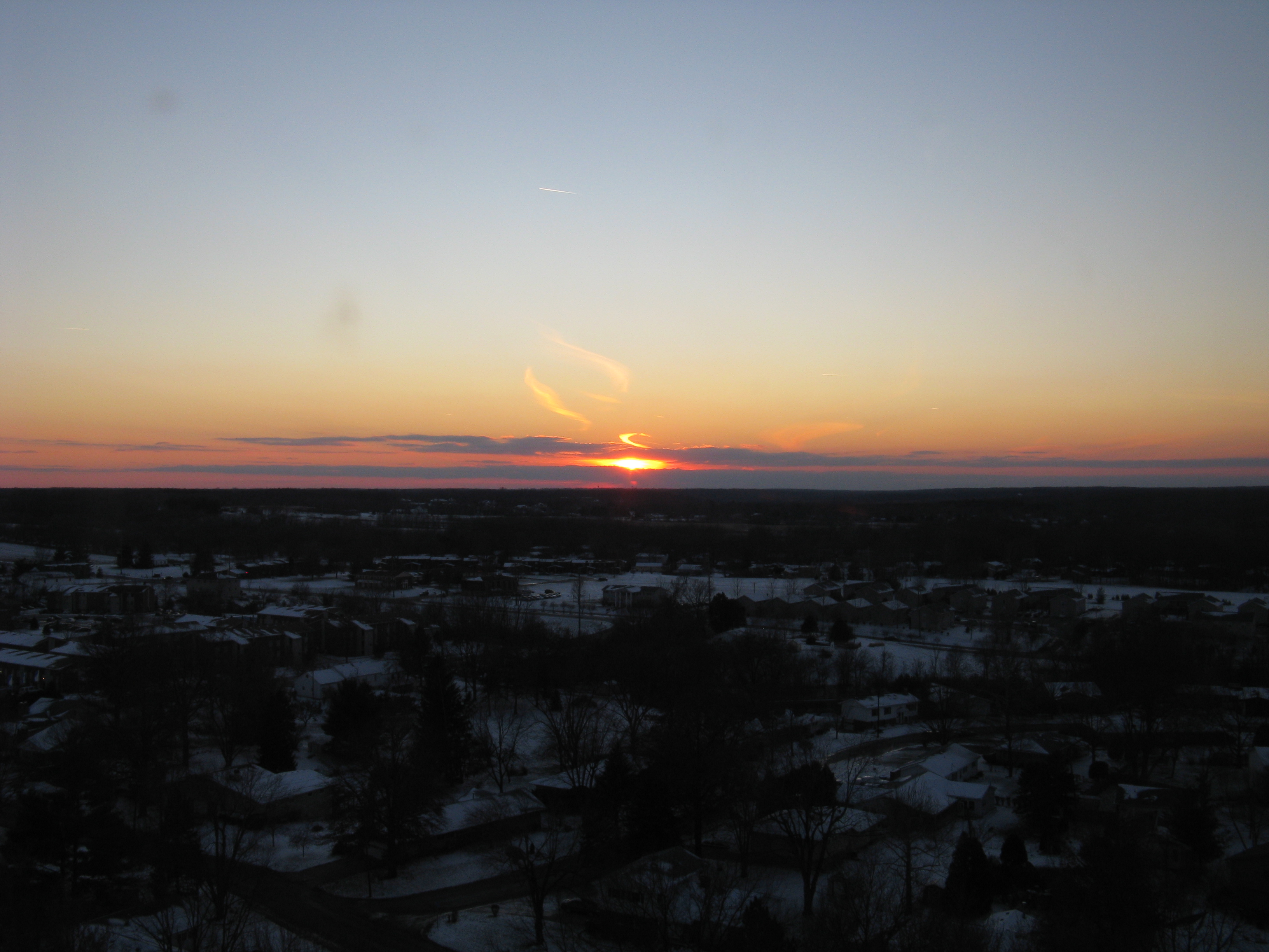
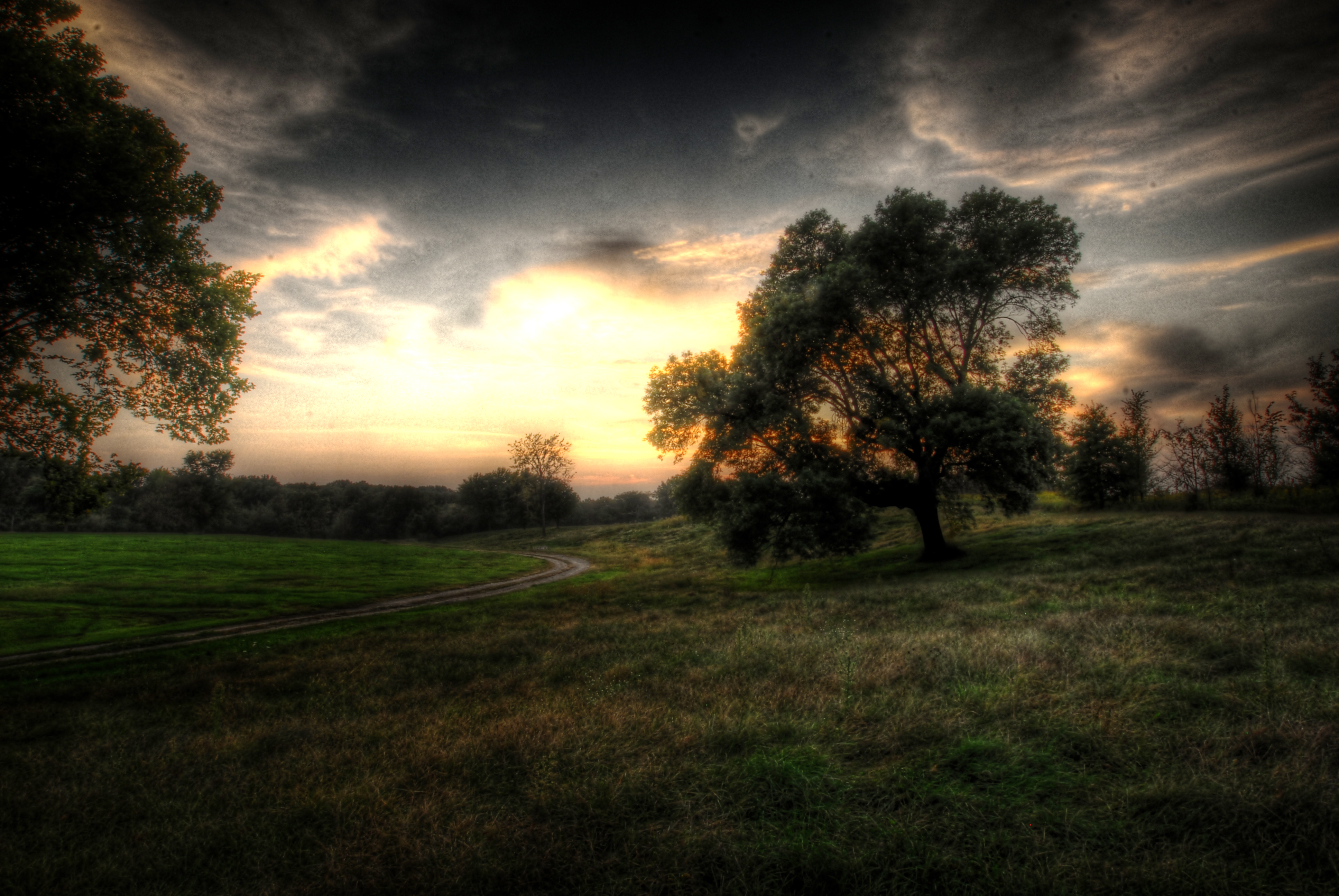
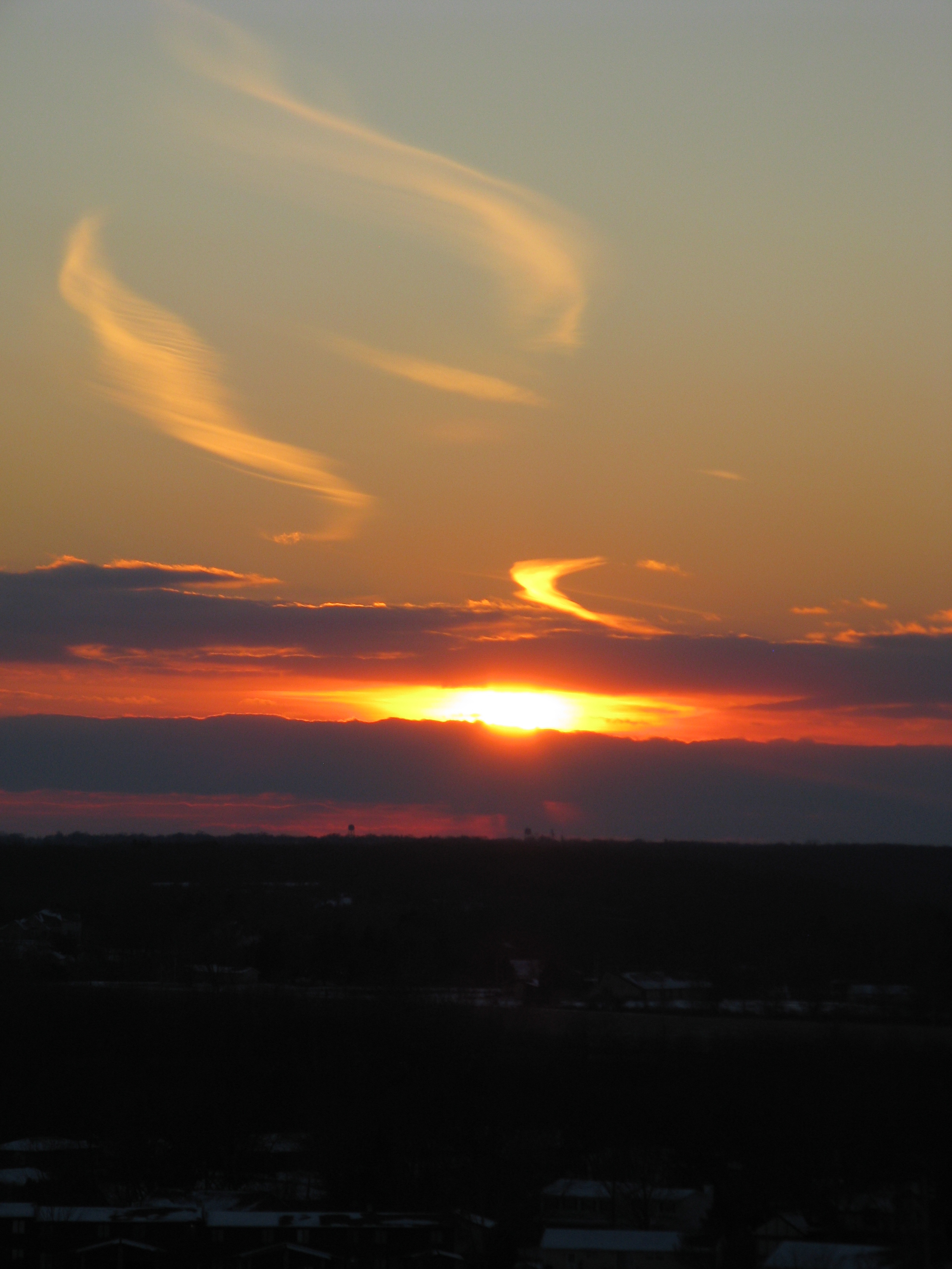
sunst from 17th floor in Macomb IL

Possibility #34: Penelope at Argyle Lake 08172013
sunst from 17th floor in Macomb IL
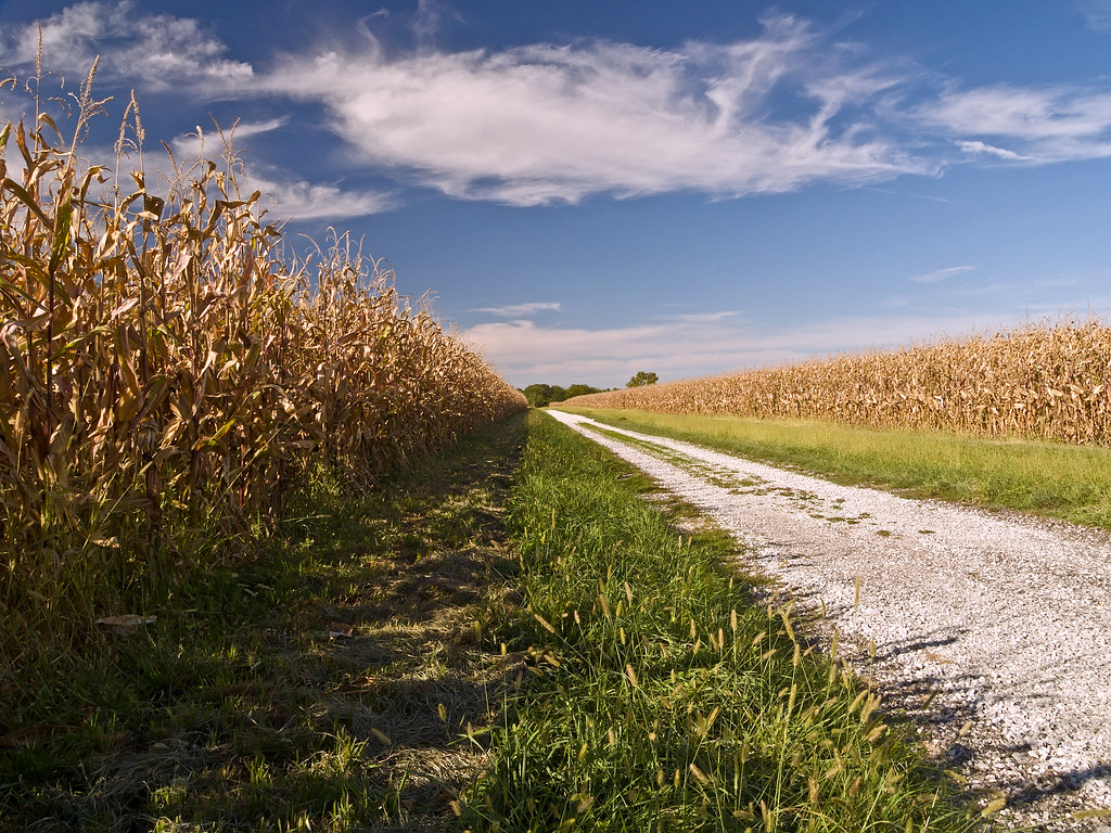
Corn Field Road (2007)

Landscape Version 1
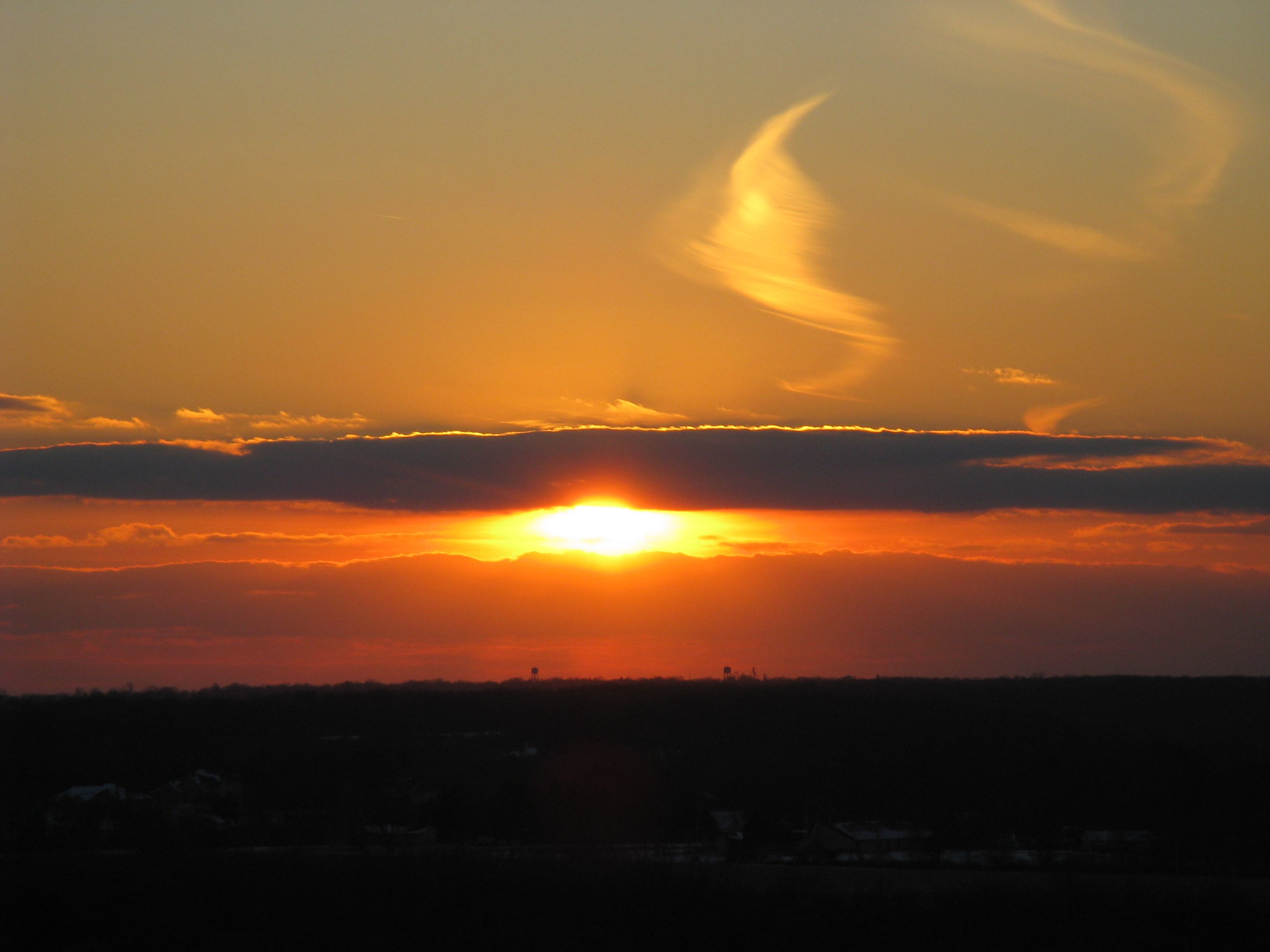
sunst from 17th floor in Macomb IL

Landscape Version 2
Topographic Map of Good Hope, IL, USA
Find elevation by address:

Places in Good Hope, IL, USA:
Places near Good Hope, IL, USA:
E Main St, Good Hope, IL, USA
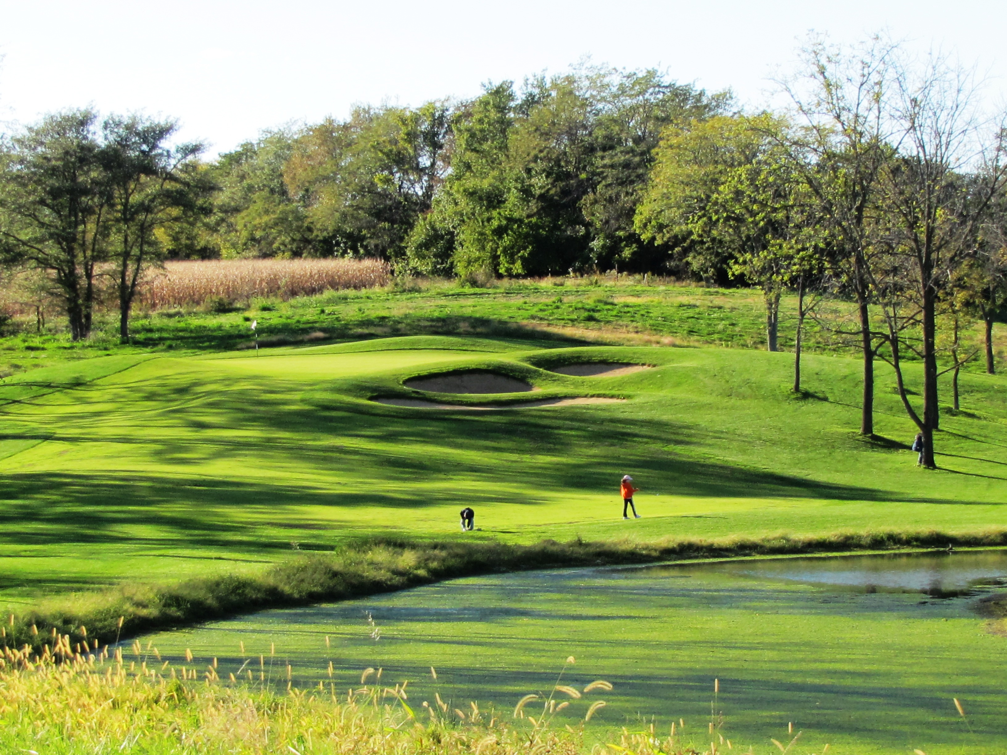
Harry Mussatto Golf Course
1406 N Randolph St
Western Illinois University
3 Woodland Ln, Macomb, IL, USA
Waggoner Hall
Union Plaza
1 University Cir
Westen Investments
Macomb City Township
Macomb
2 West Side Square
2 West Side Square
702 W Washington St
615 Reeveston Dr
900 E Jefferson St
869 S Ward St
18005 Il-9
Western Illinios University Horn Field Campus
707 N Washington St
Recent Searches:
- Elevation of Corso Fratelli Cairoli, 35, Macerata MC, Italy
- Elevation of Tallevast Rd, Sarasota, FL, USA
- Elevation of 4th St E, Sonoma, CA, USA
- Elevation of Black Hollow Rd, Pennsdale, PA, USA
- Elevation of Oakland Ave, Williamsport, PA, USA
- Elevation of Pedrógão Grande, Portugal
- Elevation of Klee Dr, Martinsburg, WV, USA
- Elevation of Via Roma, Pieranica CR, Italy
- Elevation of Tavkvetili Mountain, Georgia
- Elevation of Hartfords Bluff Cir, Mt Pleasant, SC, USA