Elevation of 71 Fourth St, Newnan, GA, USA
Location: United States > Georgia > Coweta County > Newnan >
Longitude: -84.853686
Latitude: 33.4146687
Elevation: 269m / 883feet
Barometric Pressure: 98KPa
Elevation Map:
Satellite Map:
Related Photos:
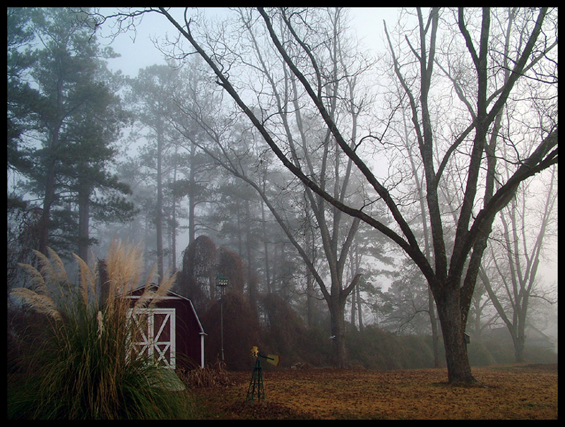
miss that Georgia fog
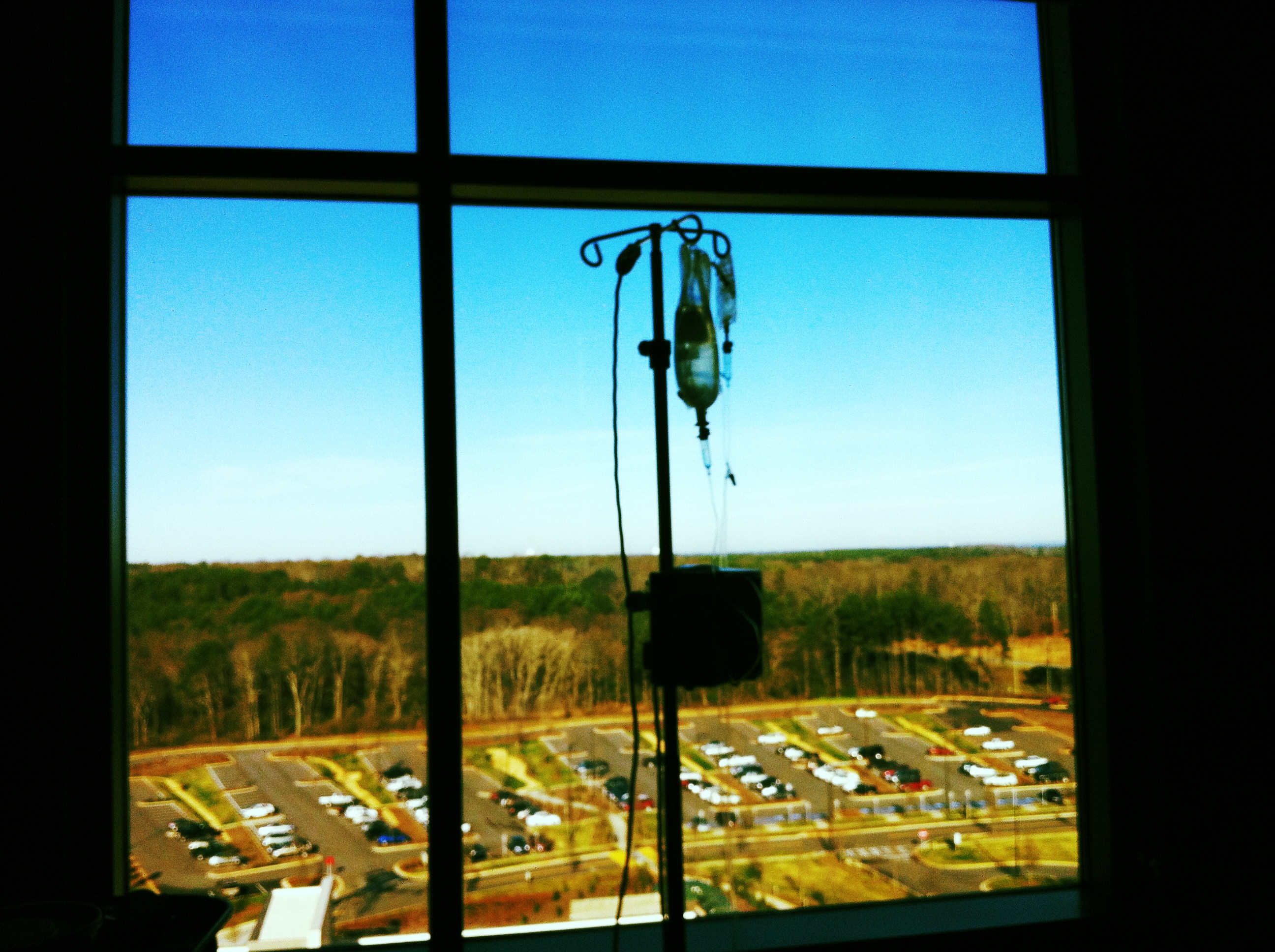
Hospital view

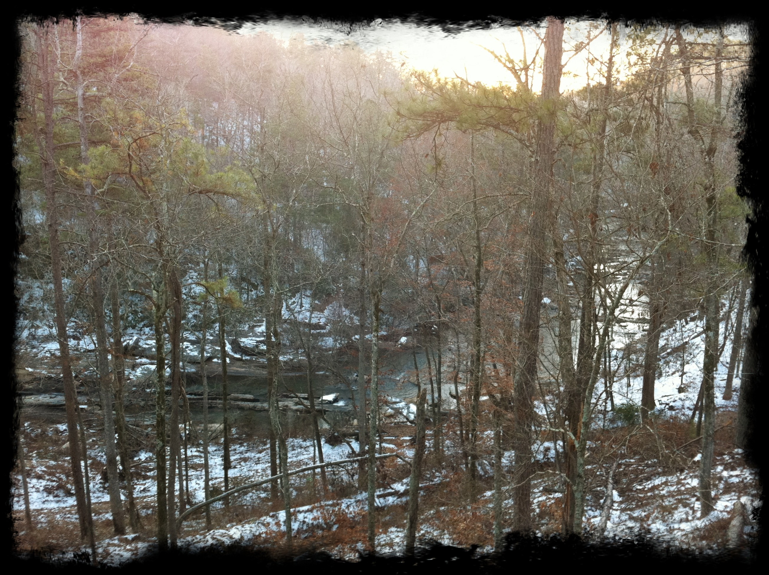
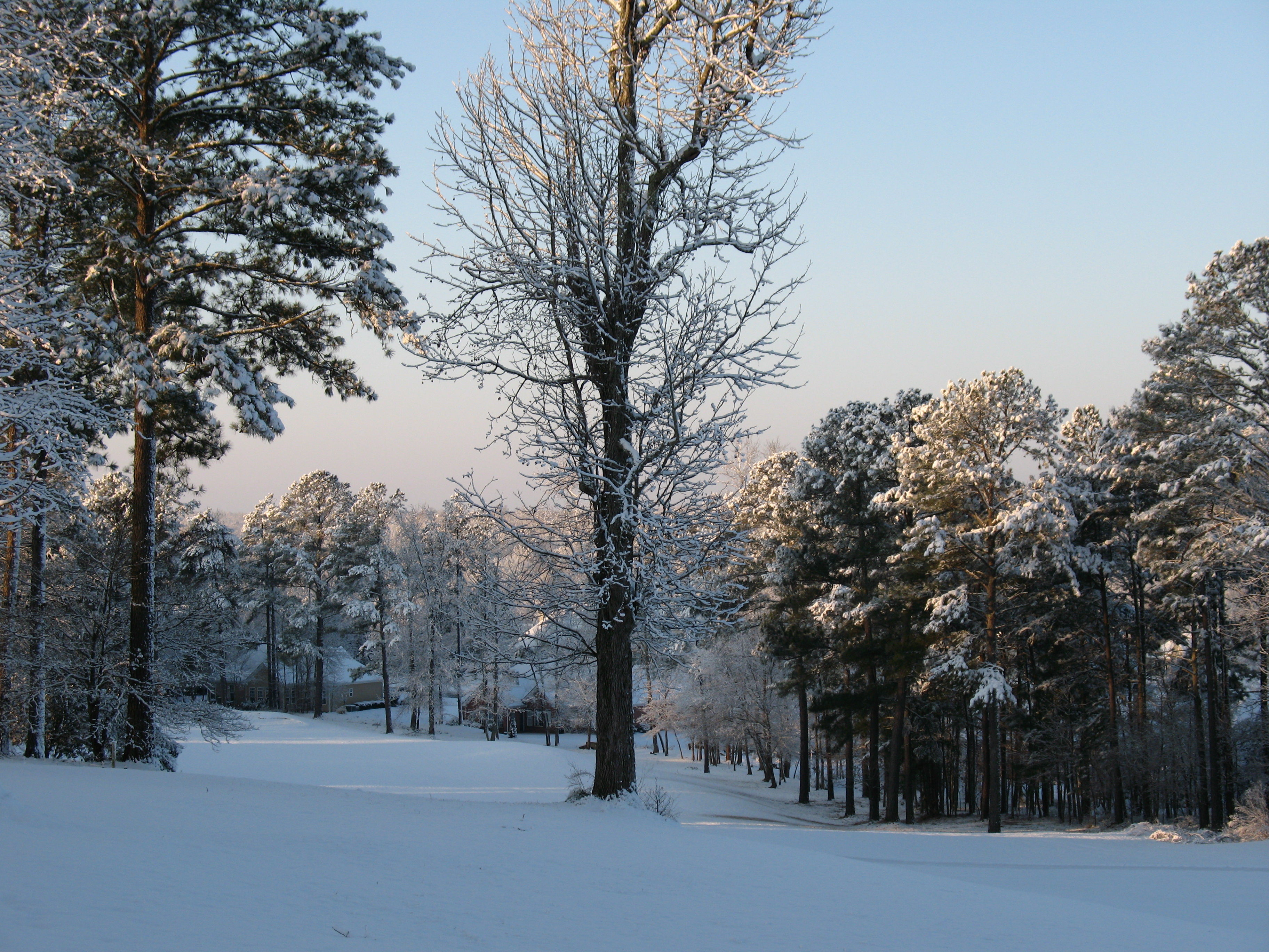
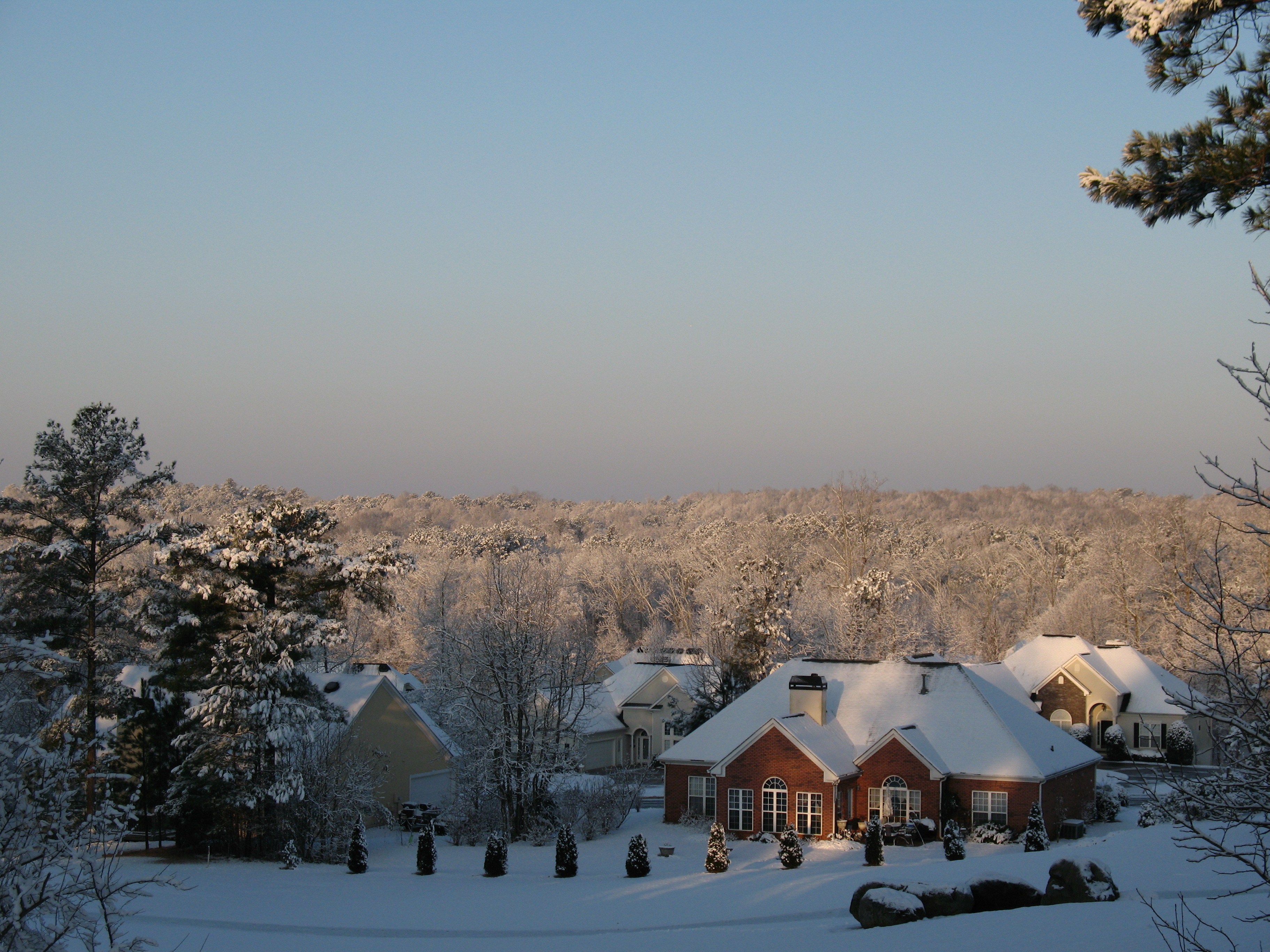
Big Cloud Winter 2006
Big Nerd Ranch View
Hospital view

RIP Bays In Palmetto Removal 87
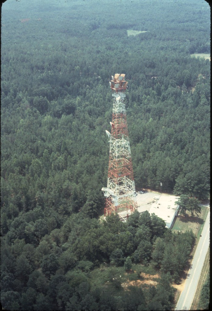
22 Full Tower View With Station

Westerly View 3

DS JR Hold Tag Line As Equipment Box Goes Up To Palmetto Tower 86
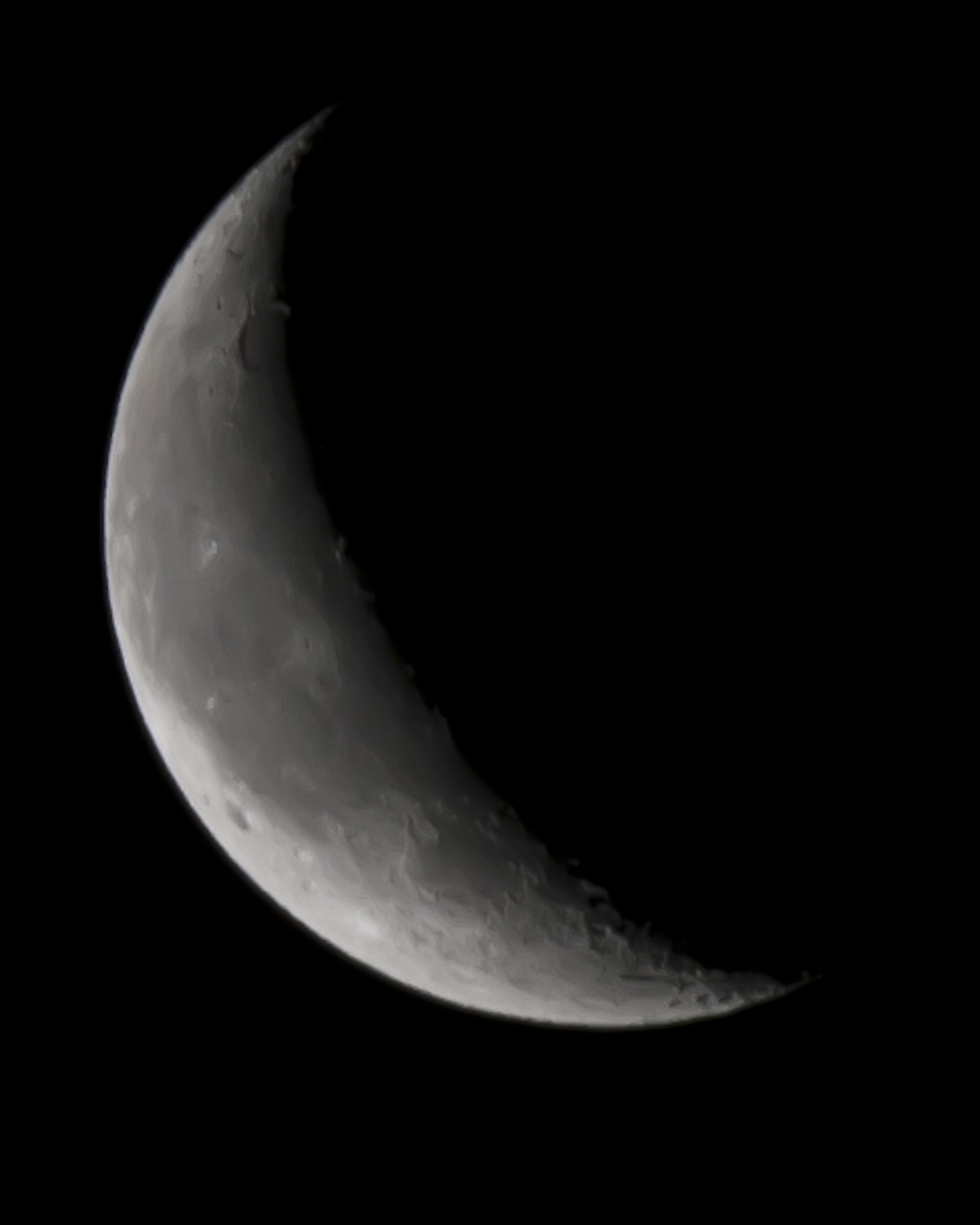
Quarter Moon 01/18/2012
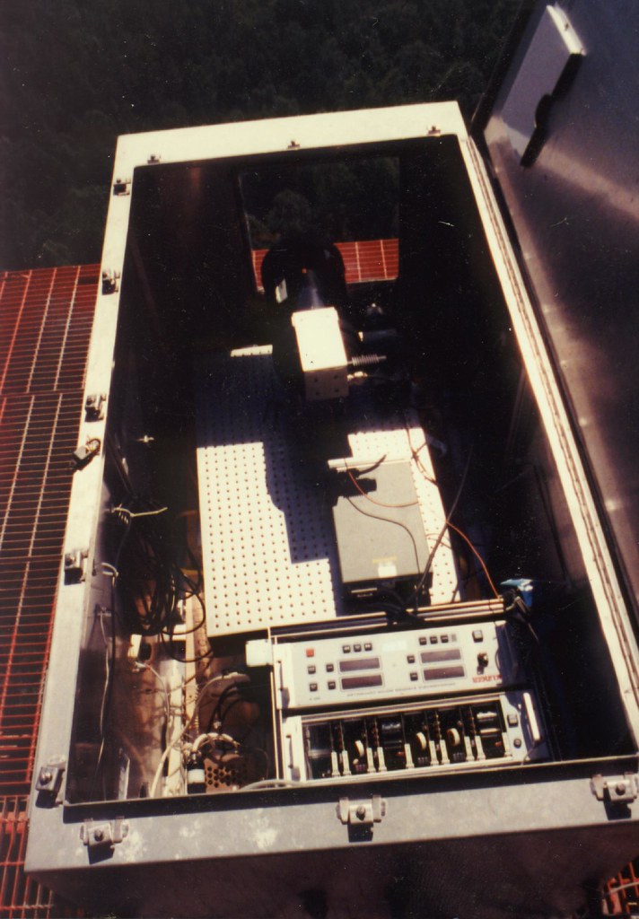
View Inside Transmitter Equipment Box On Palmetto Tower 88
View from the backyard to the south
Westerly View 2
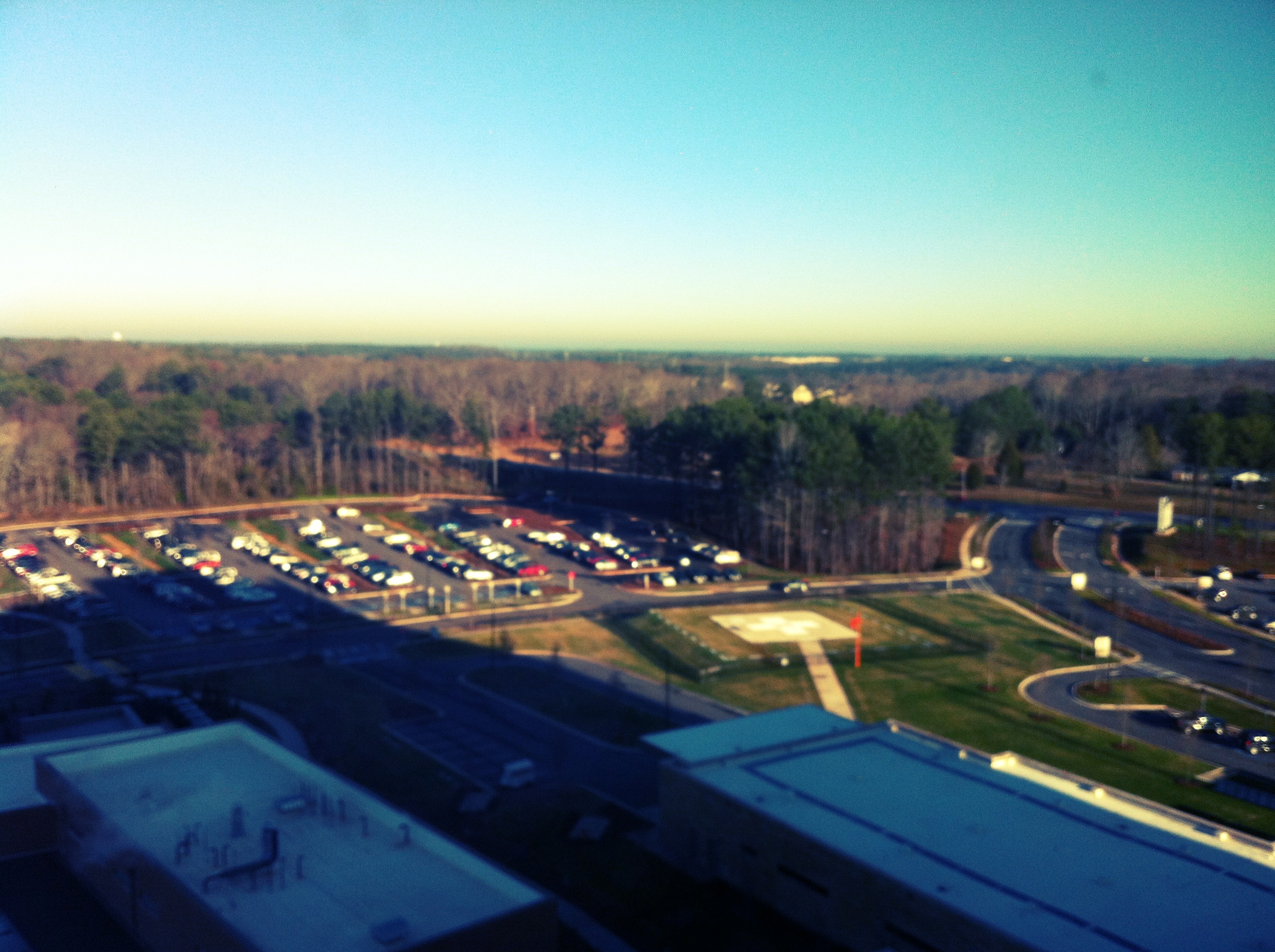
Mother's View in Piedmont Newnan Hospital
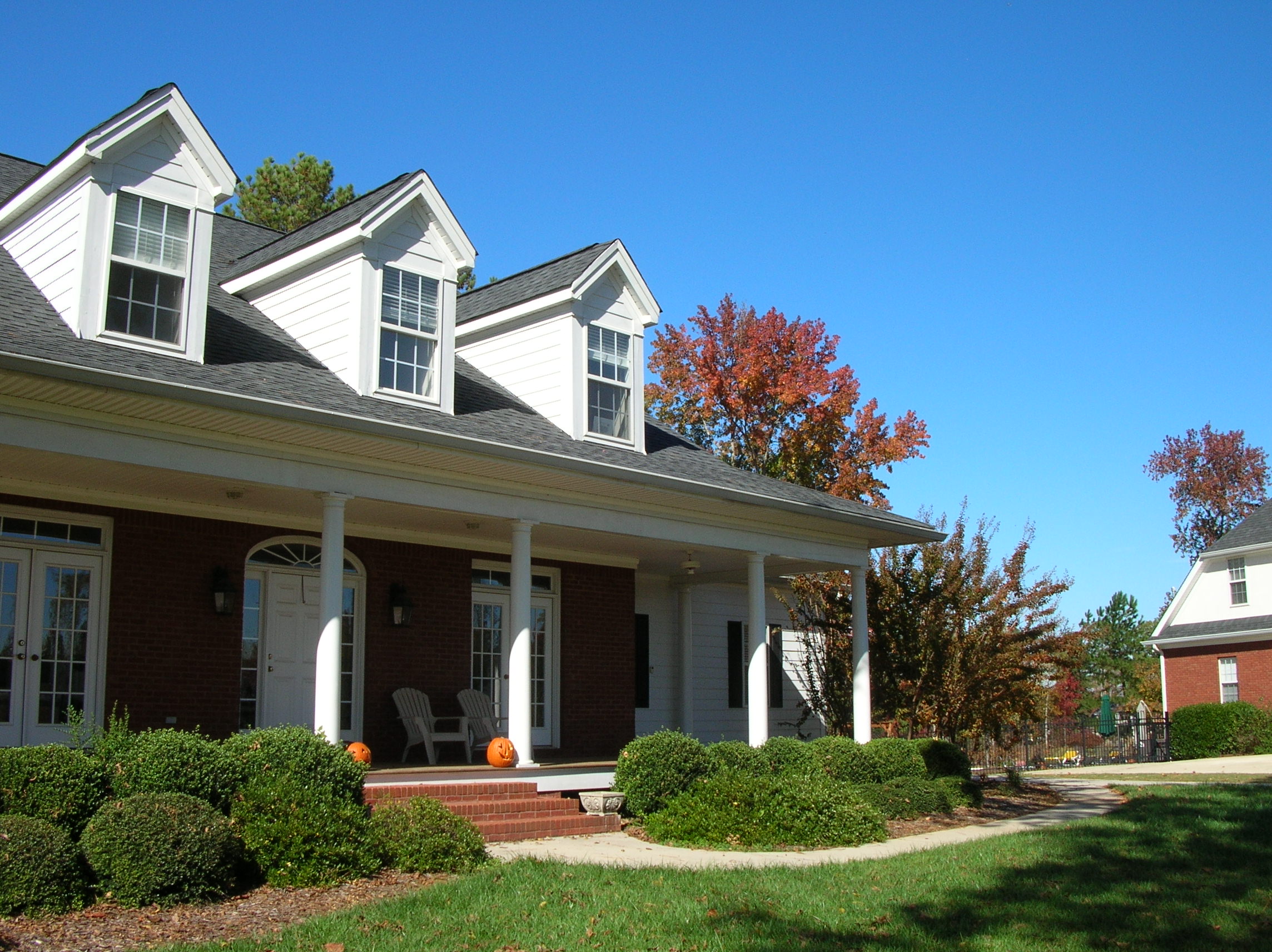
Front Porch October 2006
Mother's View in Piedmont Newnan Hospital
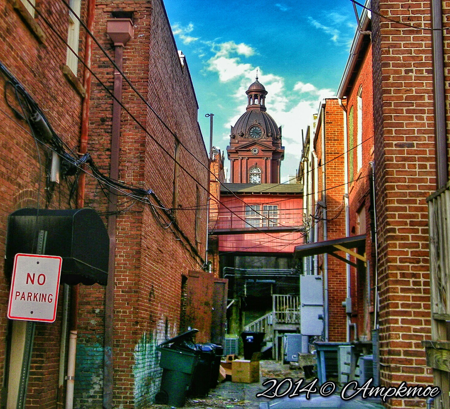
A View From The Alley

Room with a View

McIntosh Reserve
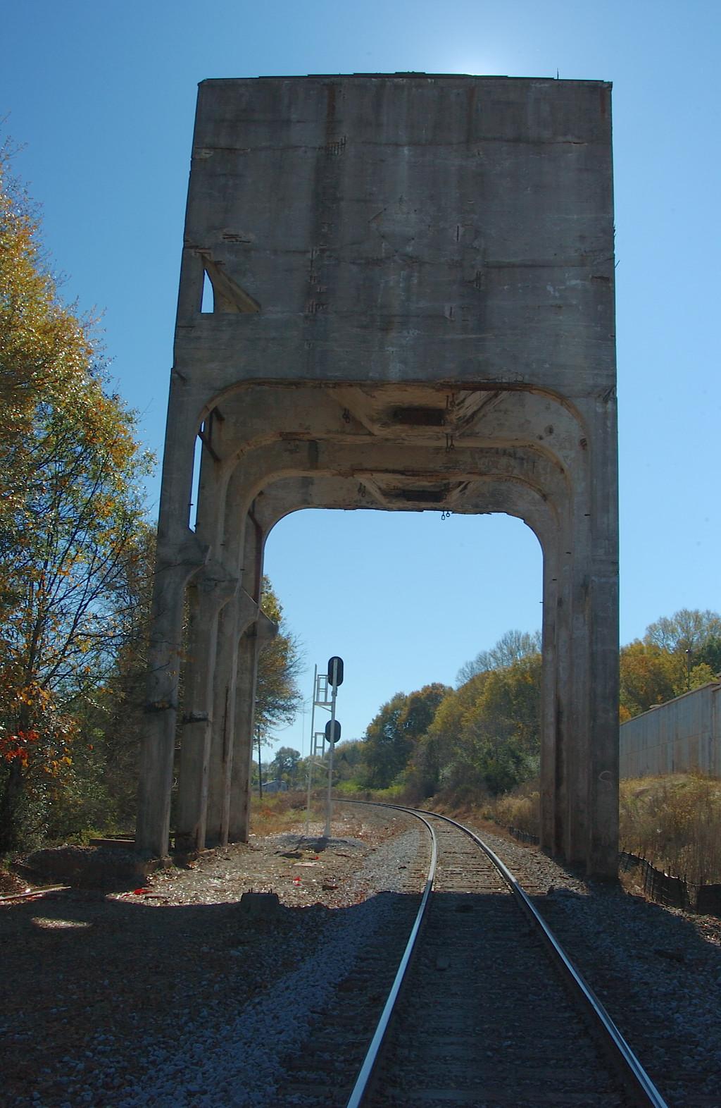
Newnan Coal Tower

Westerly View 1
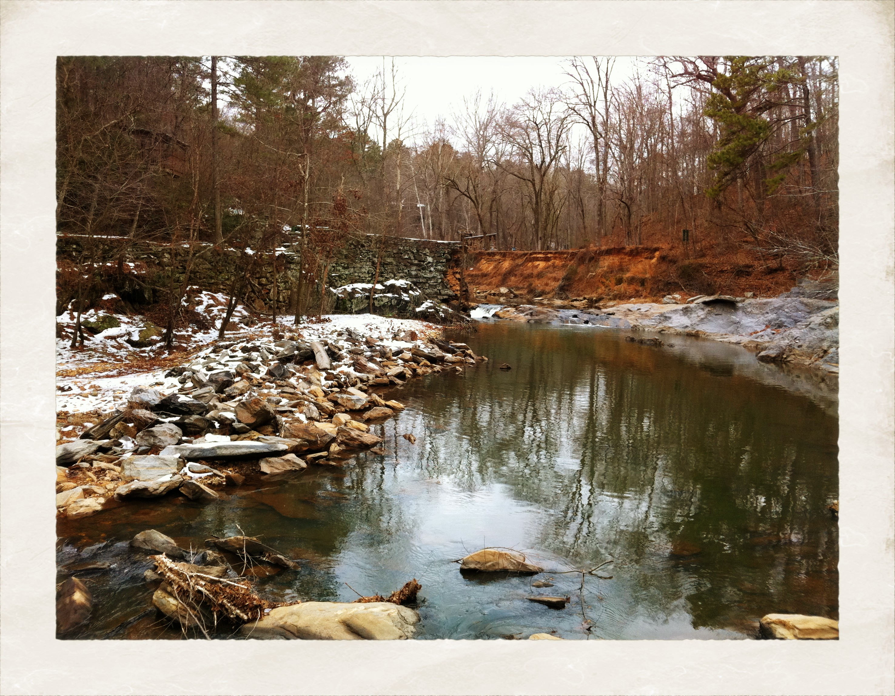
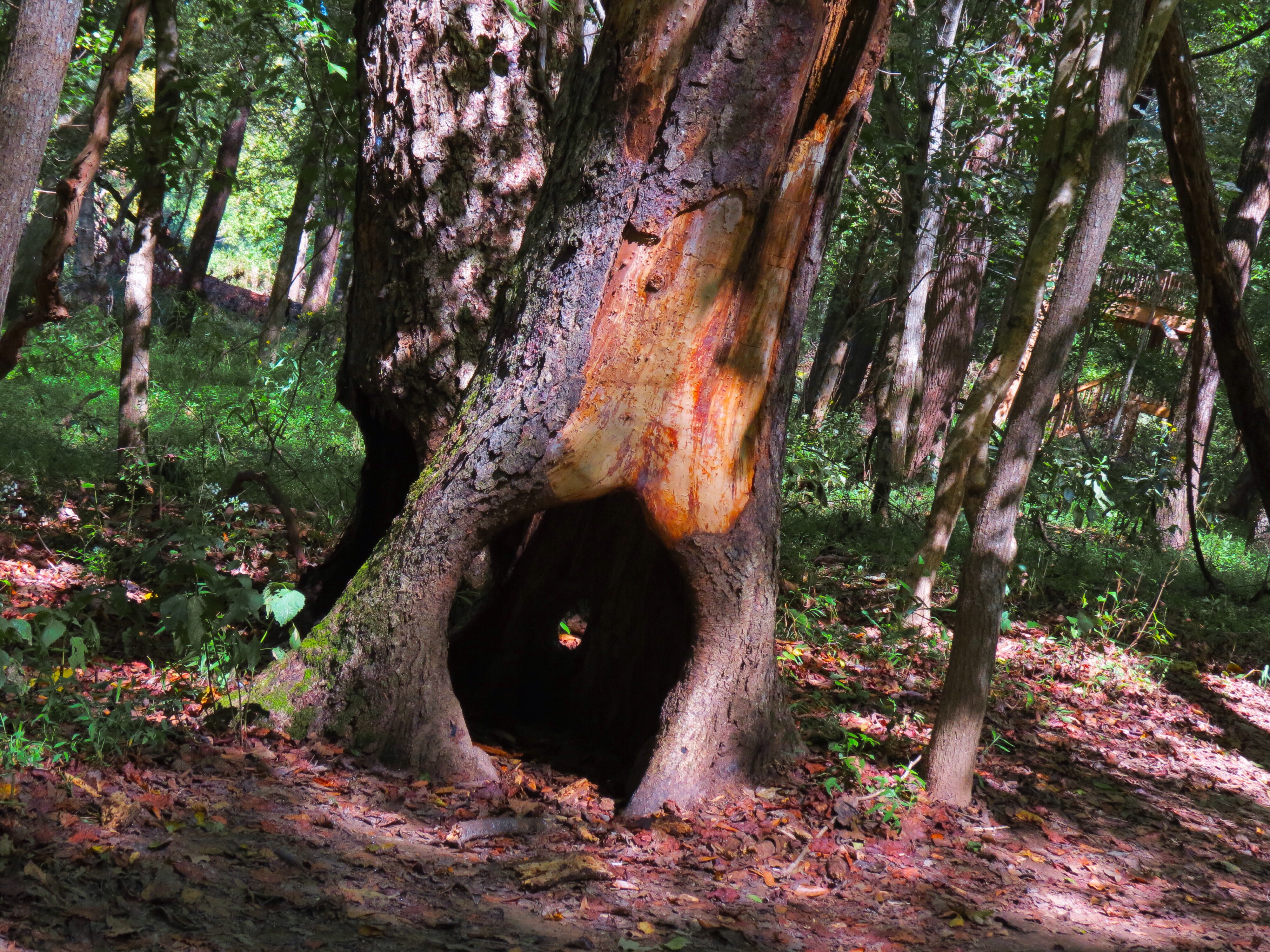
Banner Mills Creek

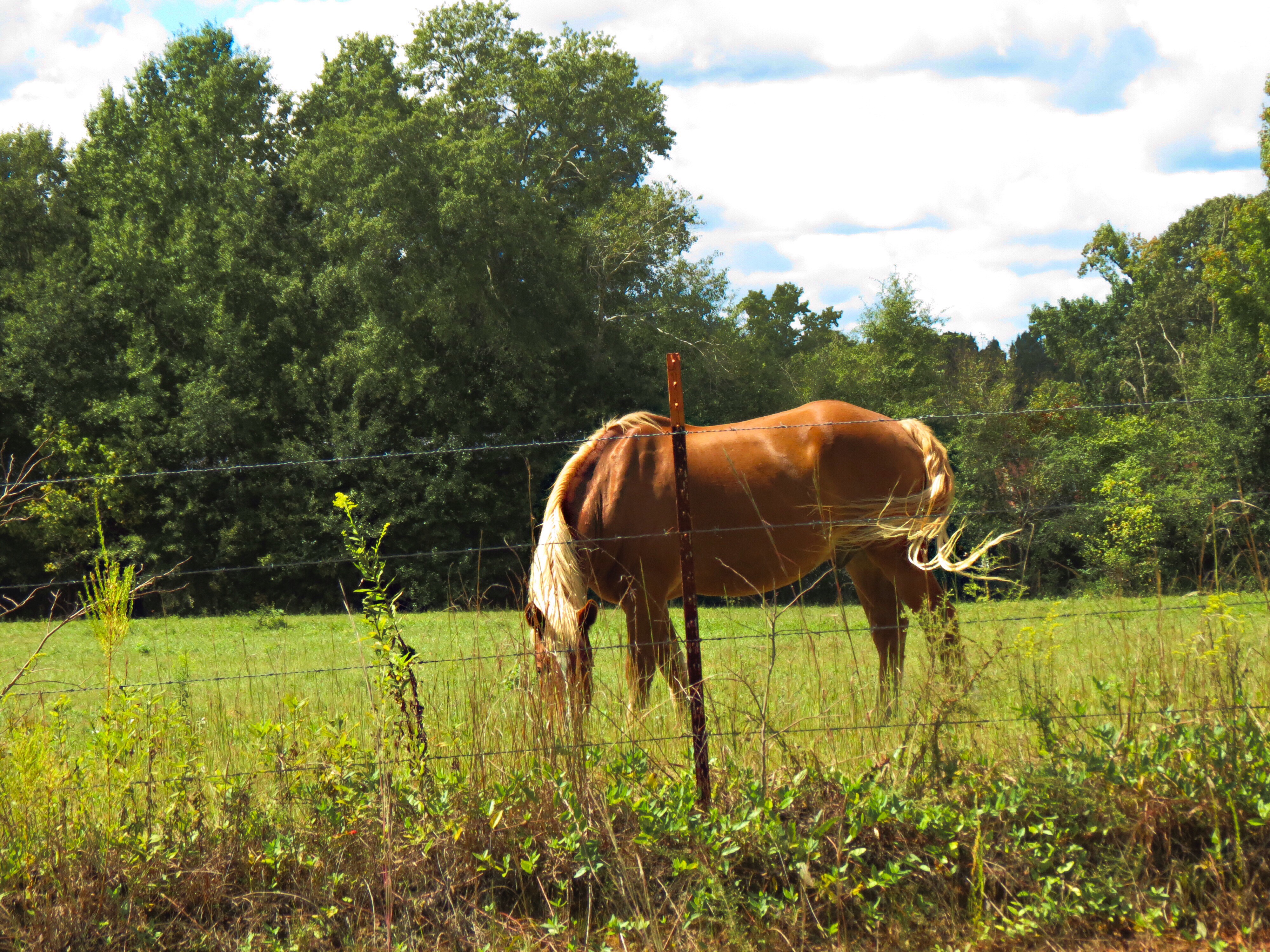
Serenbe Farms pigs and horses
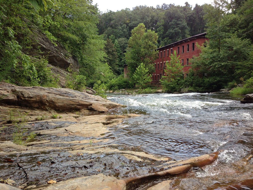
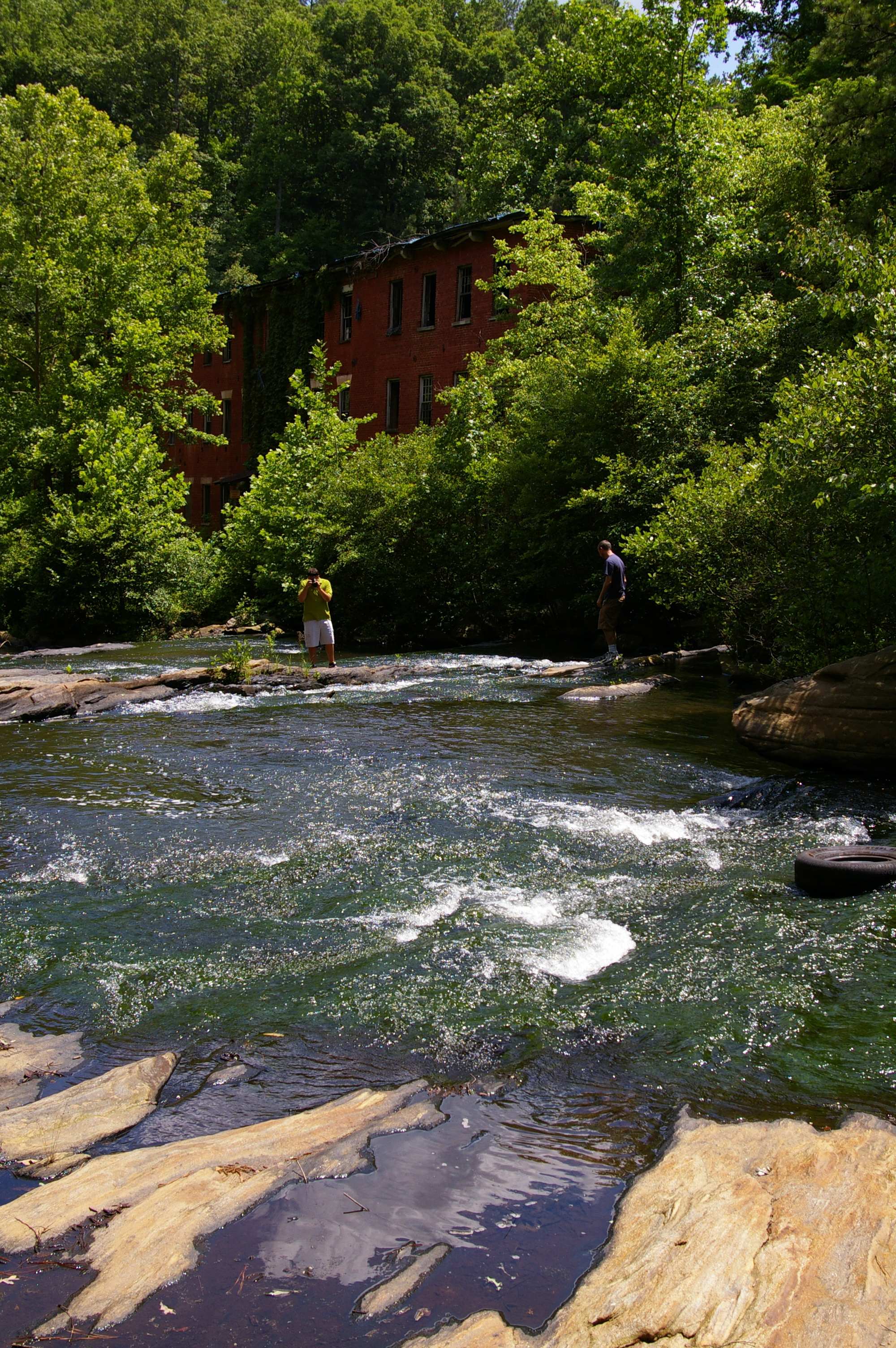
Historic Banning Mills

A Light Unto My Path

#sky #sunset #beautiful #colors
Beautiful Family day
Beautiful Family day
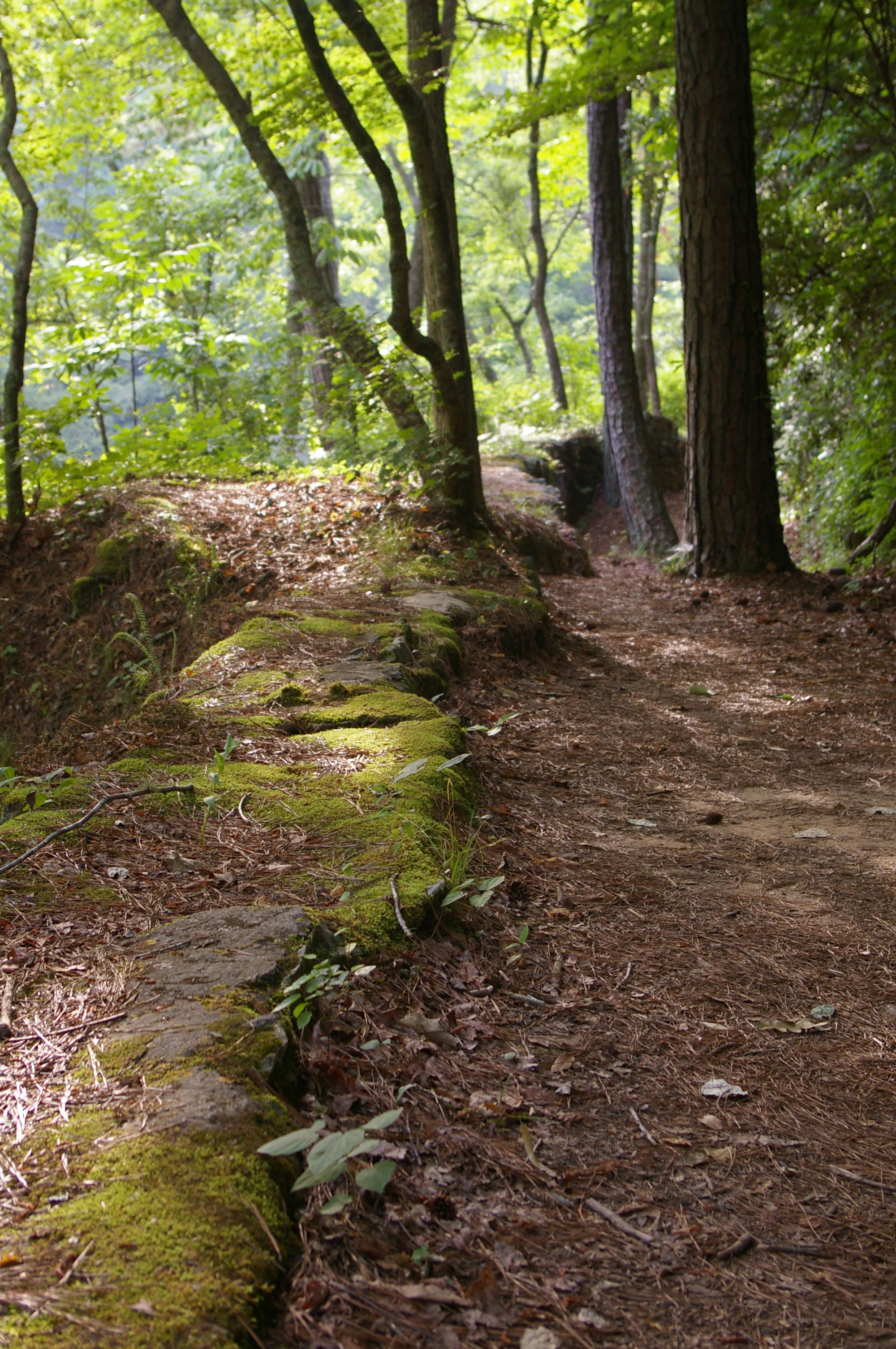
Creekside trail

Waterfall at Banning Mill
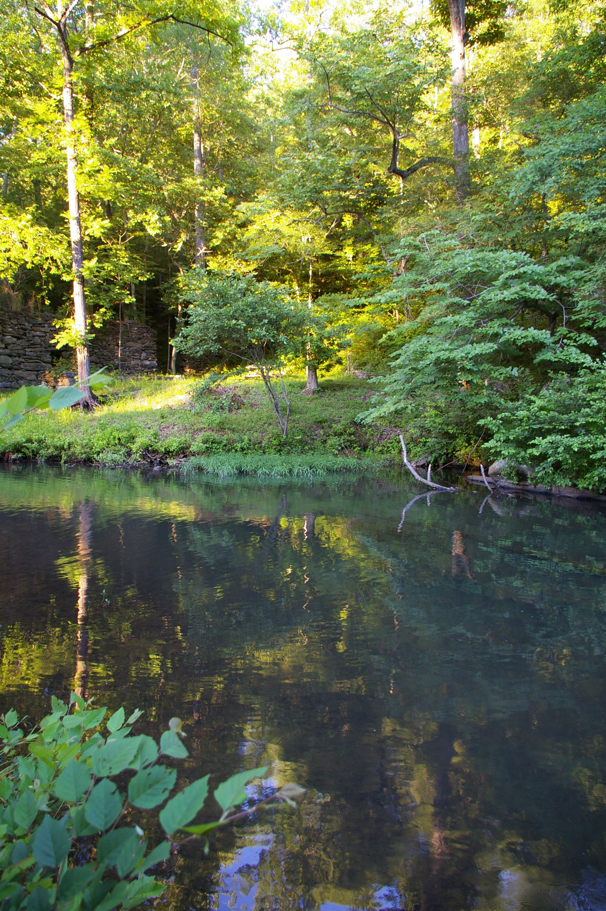
Snake Creek
Beautiful Family day
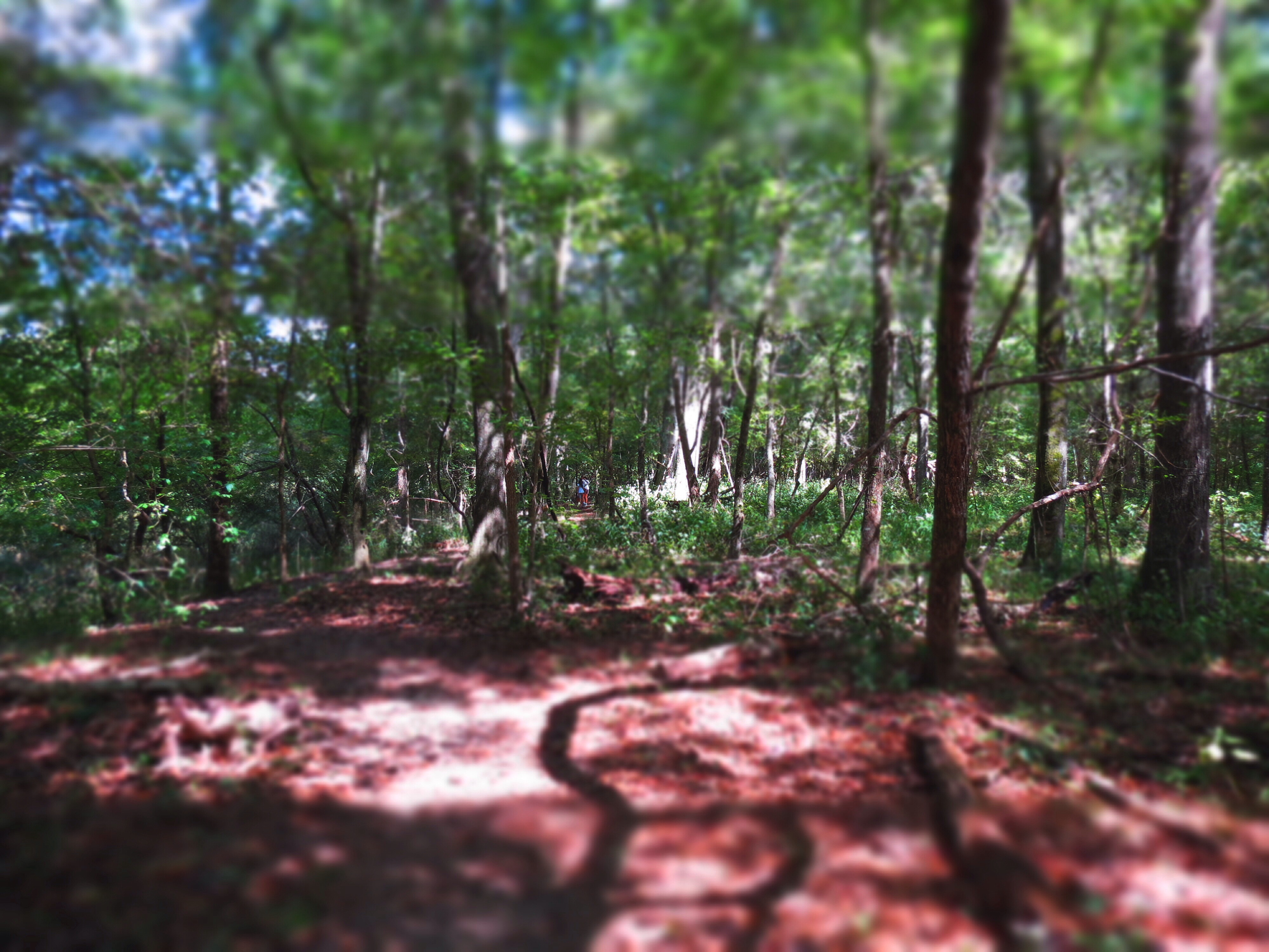
Hiking trail
Feeder creek waterfall
Foxbrier Farm

Serenbe Farms Georgia
Beautiful Family day
Beautiful Family day
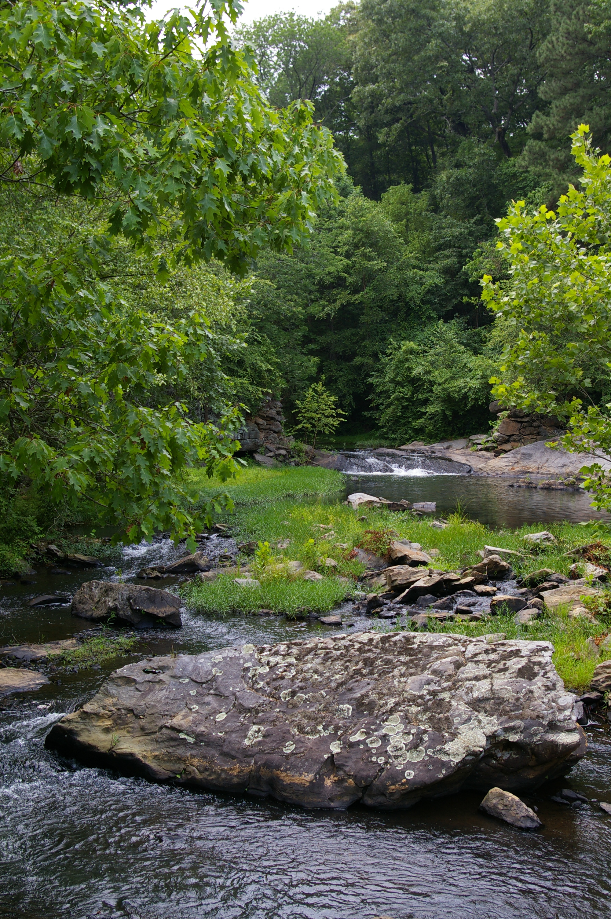
Snake Creek

Beautiful Family day
Snake Creek
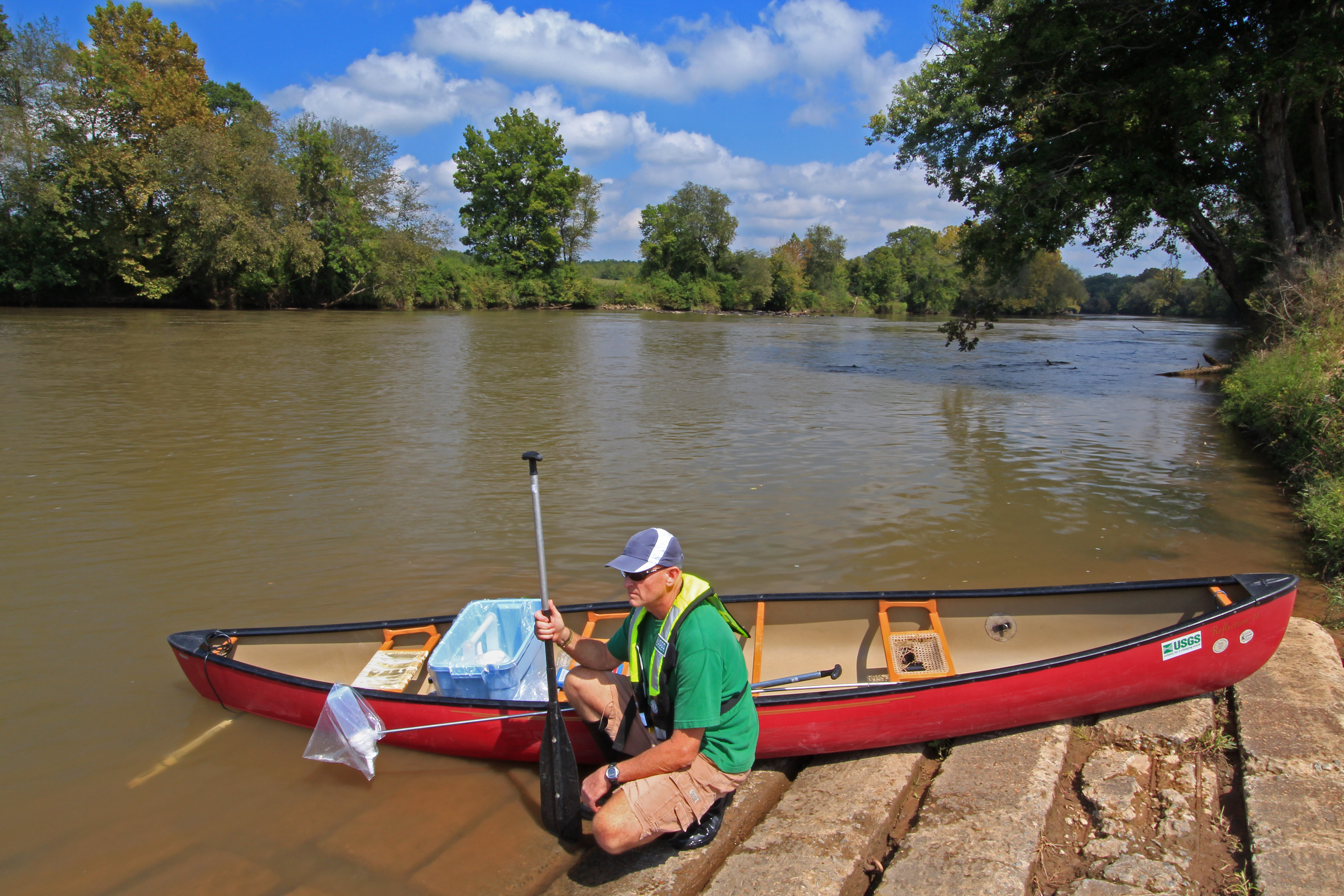
Chattahoochee River, U.S. Geological Survey, NAWQA Program water-quality sample site, Coweta County Riverside Park, near Whitesburg, Coweta and Carroll Counties, Georgia, Alan Cressler 1
Topographic Map of 71 Fourth St, Newnan, GA, USA
Find elevation by address:

Places near 71 Fourth St, Newnan, GA, USA:
45 Hamilton Dr, Newnan, GA, USA
58 Shelnut Way, Newnan, GA, USA
Henry Bryant Rd, Newnan, GA, USA
Roscoe Rd, Newnan, GA, USA
171 Lancaster Way
Buddy-West Rd, Newnan, GA, USA
661 Dyer Rd
62 Garden View Terrace, Newnan, GA, USA
9 Pine Ridge Dr
Whitesburg
833 Payton Rd
844 Payton Rd
15 Banning Rd, Whitesburg, GA, USA
Hutcheson Ferry Rd, Whitesburg, GA, USA
Mado Lane
Chattahoochee Hills
Hutchesons Ferry Rd, Palmetto, GA, USA
259 Laurel Ln
Old 4 Notch Rd, Whitesburg, GA, USA
40 Liberty Church Rd, Carrollton, GA, USA
Recent Searches:
- Elevation of Corso Fratelli Cairoli, 35, Macerata MC, Italy
- Elevation of Tallevast Rd, Sarasota, FL, USA
- Elevation of 4th St E, Sonoma, CA, USA
- Elevation of Black Hollow Rd, Pennsdale, PA, USA
- Elevation of Oakland Ave, Williamsport, PA, USA
- Elevation of Pedrógão Grande, Portugal
- Elevation of Klee Dr, Martinsburg, WV, USA
- Elevation of Via Roma, Pieranica CR, Italy
- Elevation of Tavkvetili Mountain, Georgia
- Elevation of Hartfords Bluff Cir, Mt Pleasant, SC, USA