Elevation of 40 Liberty Church Rd, Carrollton, GA, USA
Location: United States > Georgia > Carroll County > Carrollton >
Longitude: -85.045362
Latitude: 33.4665109
Elevation: 324m / 1063feet
Barometric Pressure: 97KPa
Elevation Map:
Satellite Map:
Related Photos:
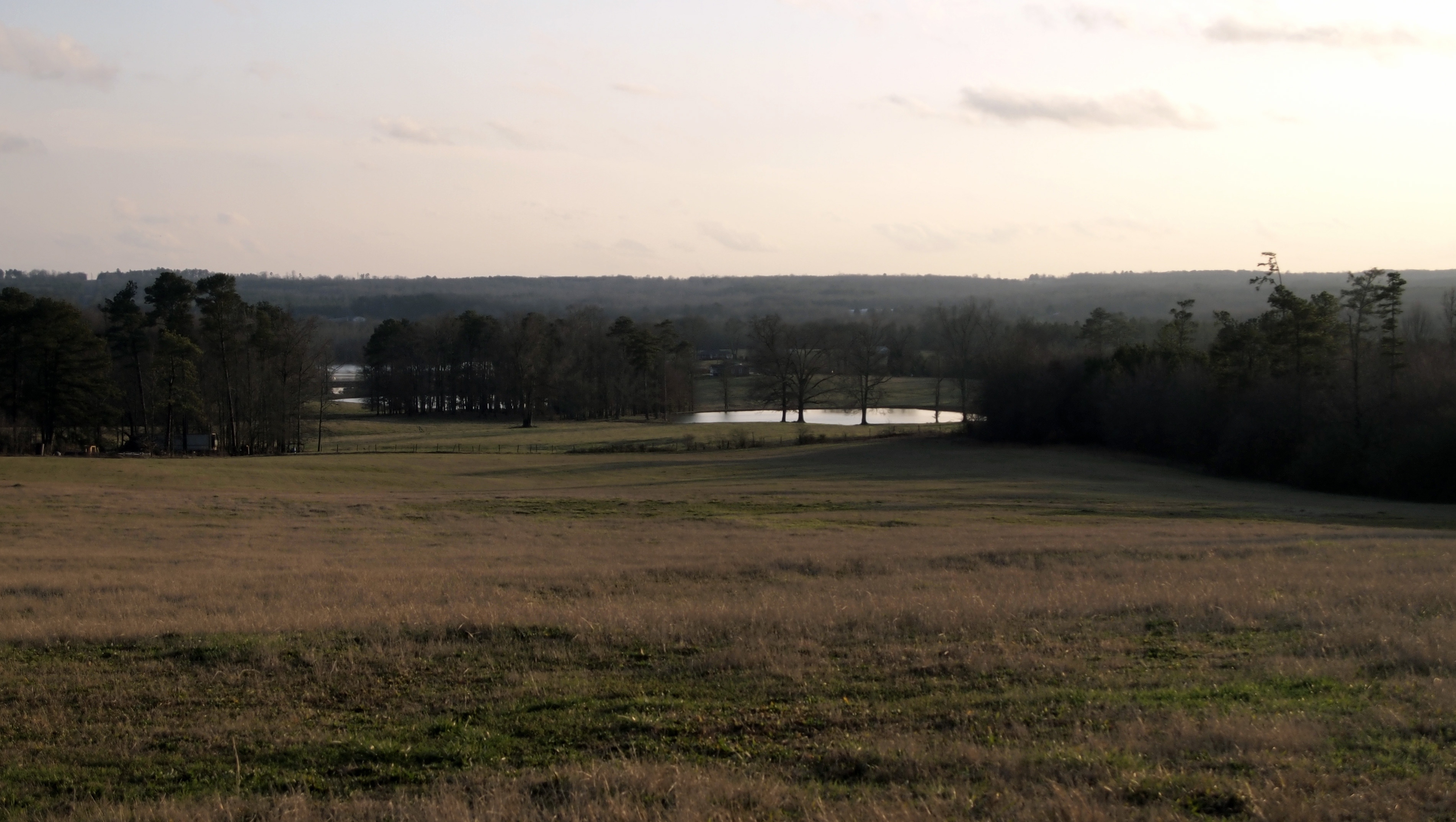
Big Nerd Ranch View
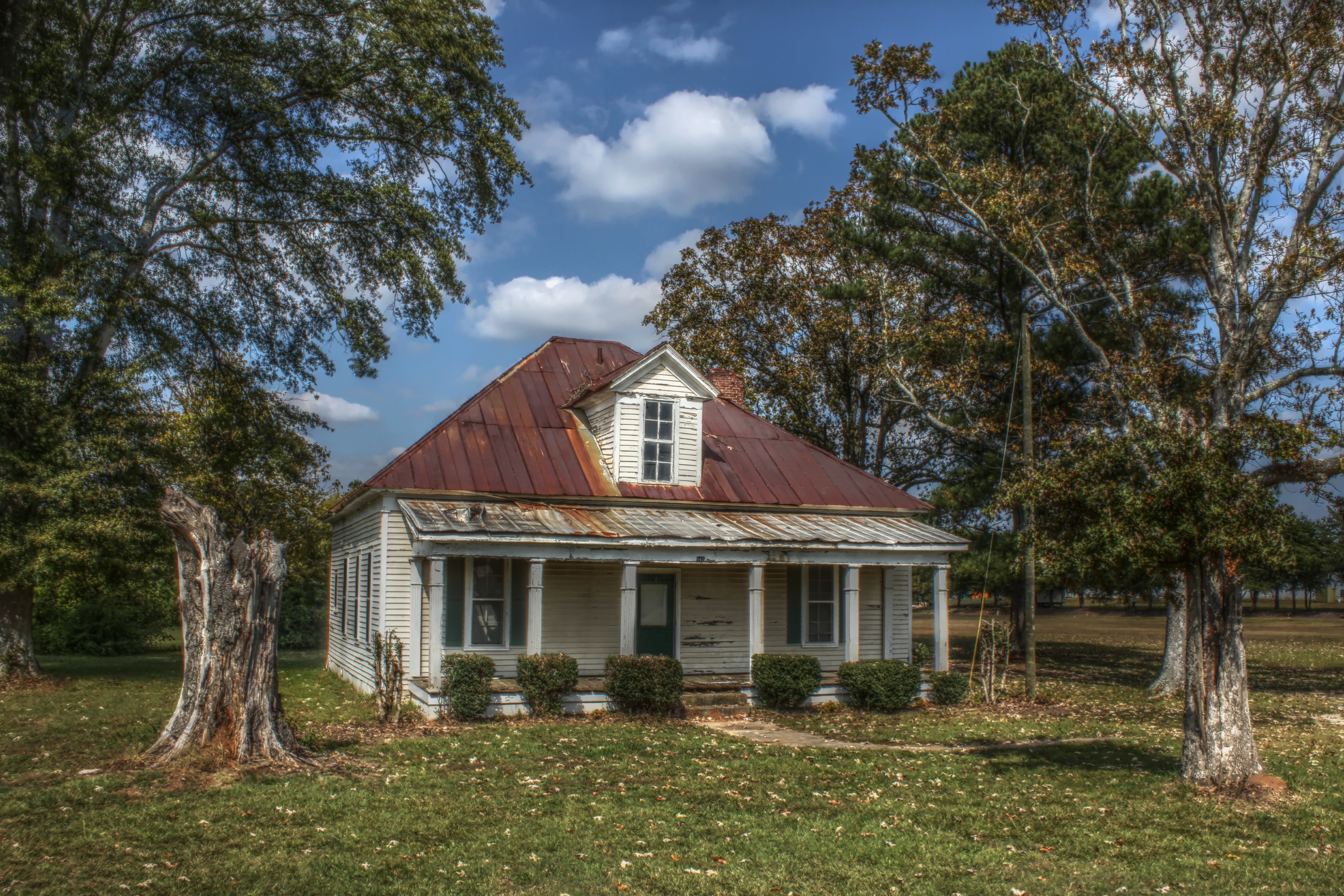
Abandoned Farm House in Carrollton, GA

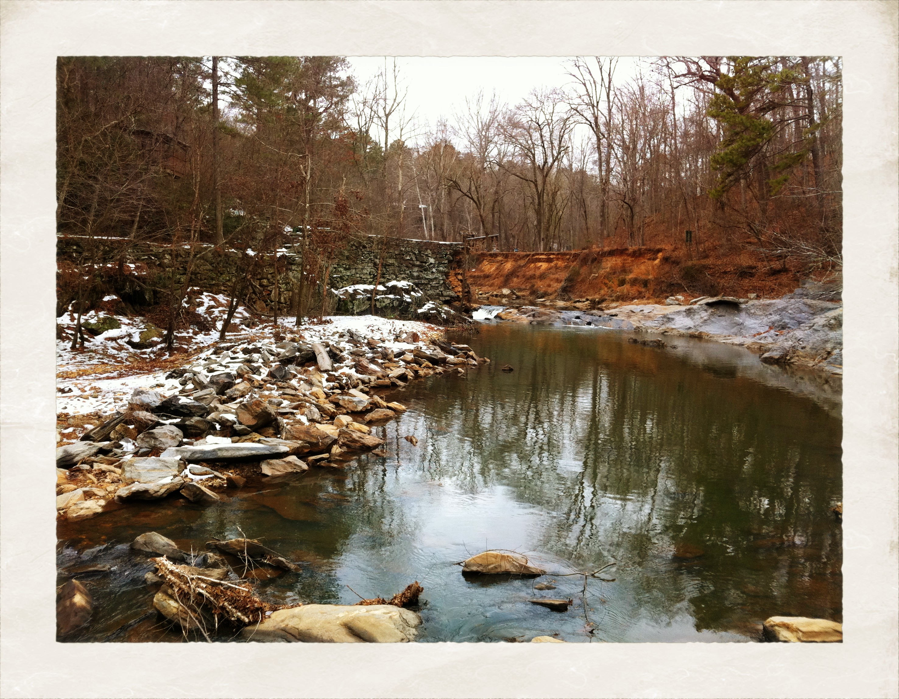
McIntosh Reserve

The Calm After the Storm

View of Pafford
View from the balcony

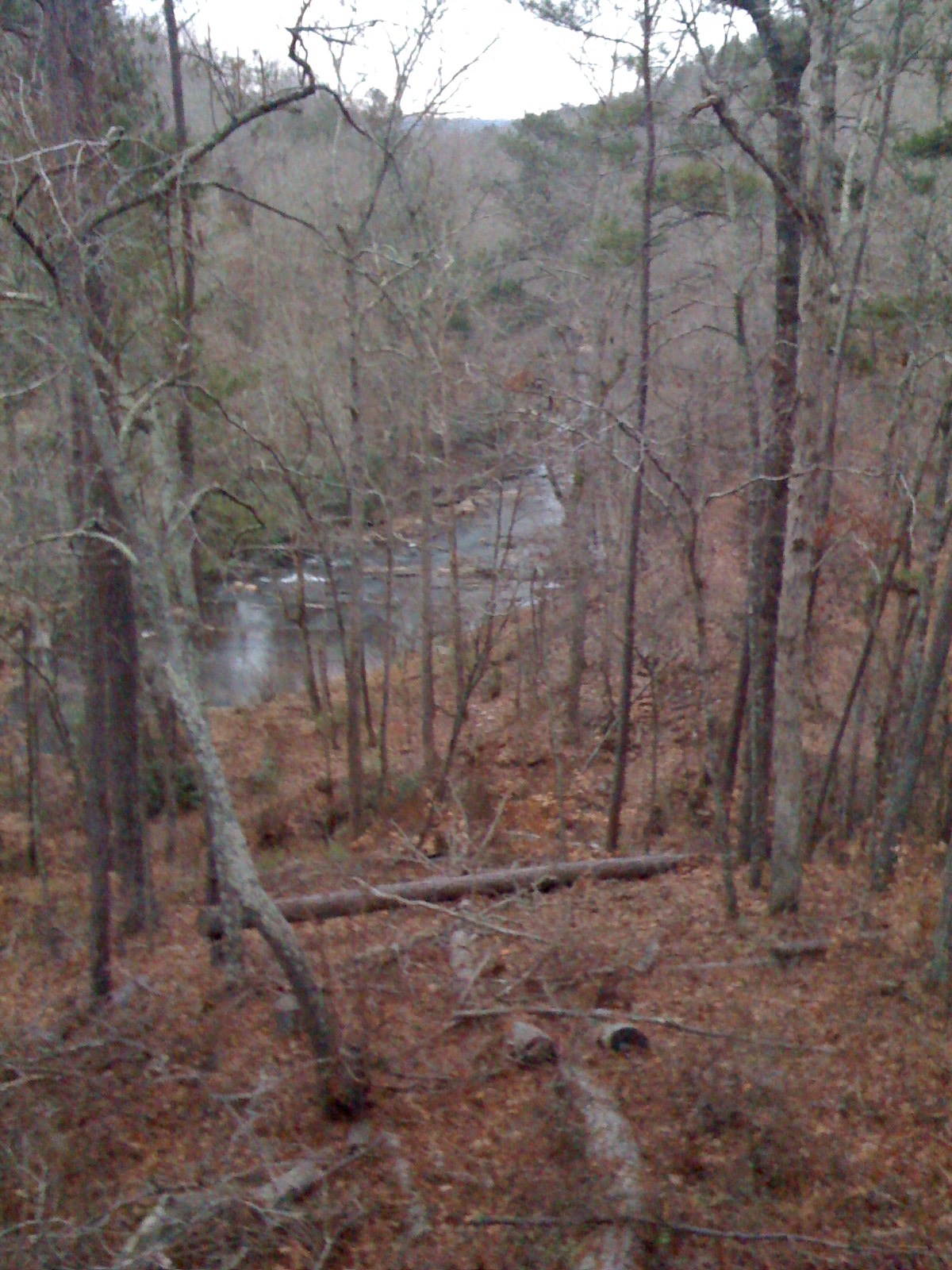
A Smoker's View
View from a Country Road
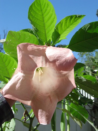
Another view of the blooms
View from the balcony
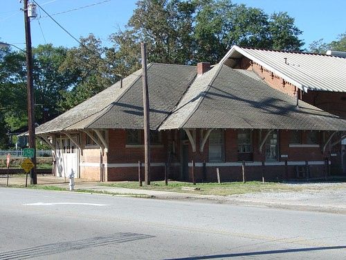
Carrollton station
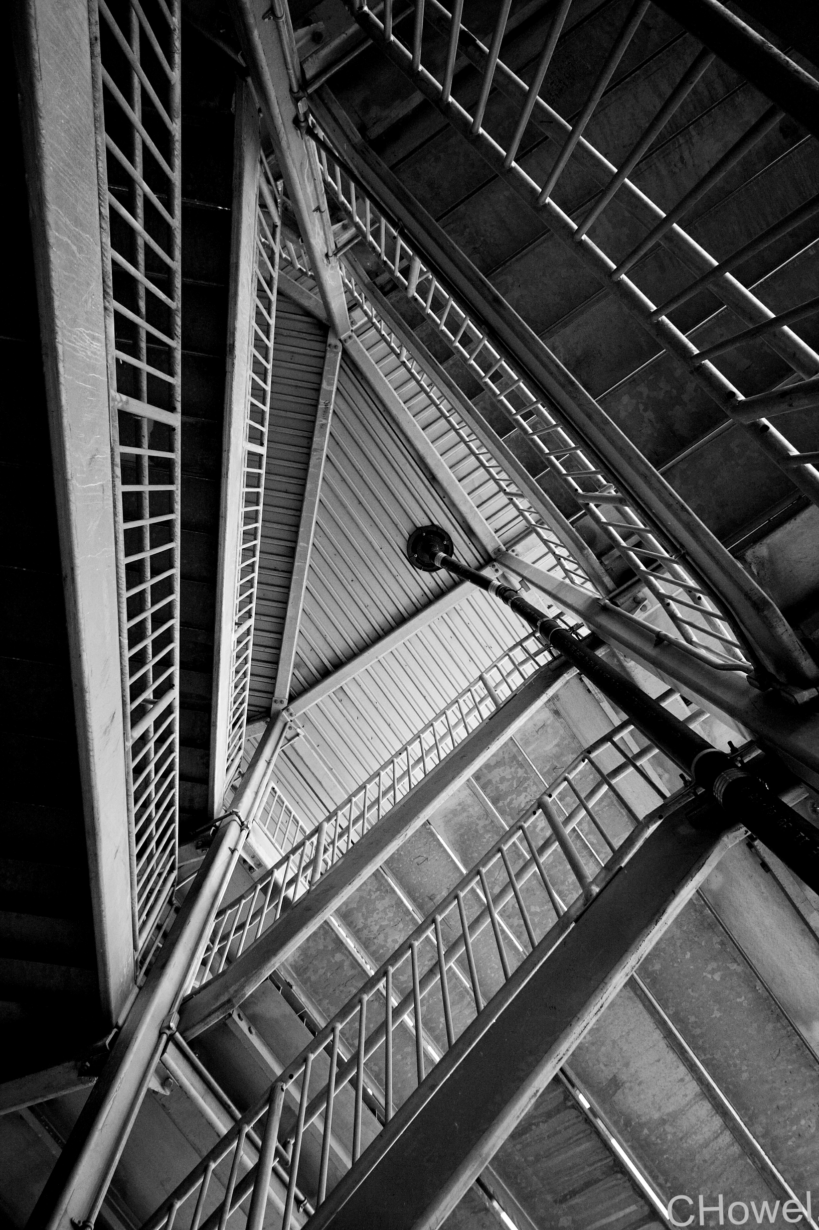
Emergency Exit
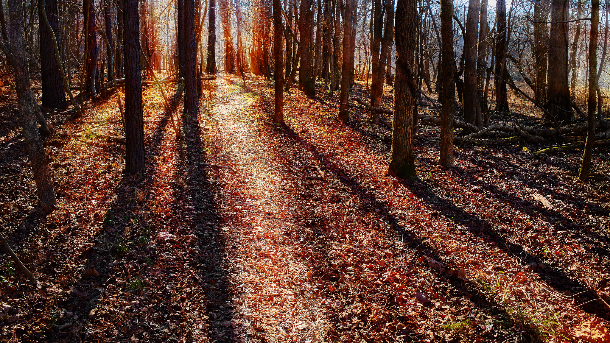
A Light Unto My Path
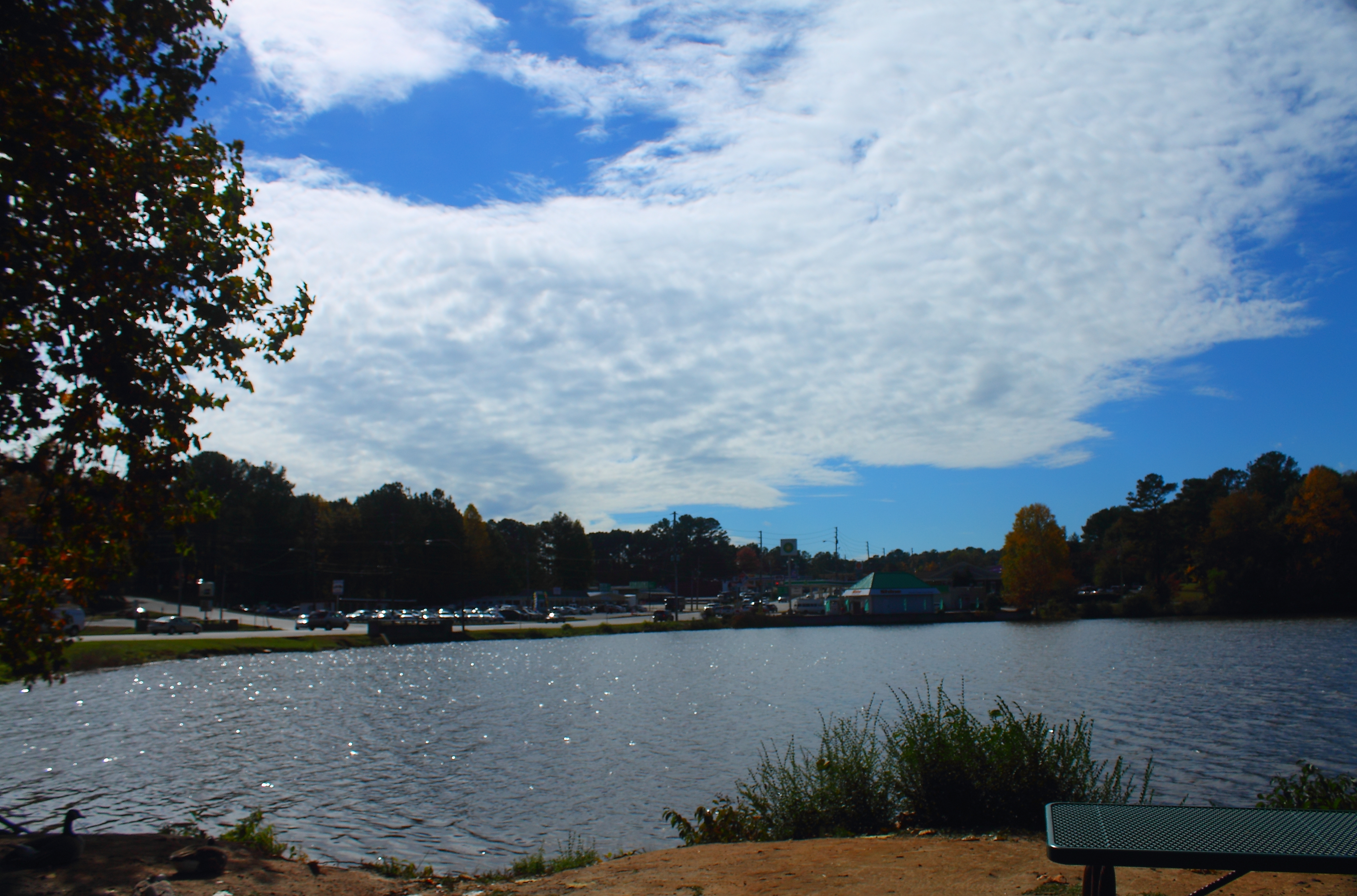
High Clouds At The Lake
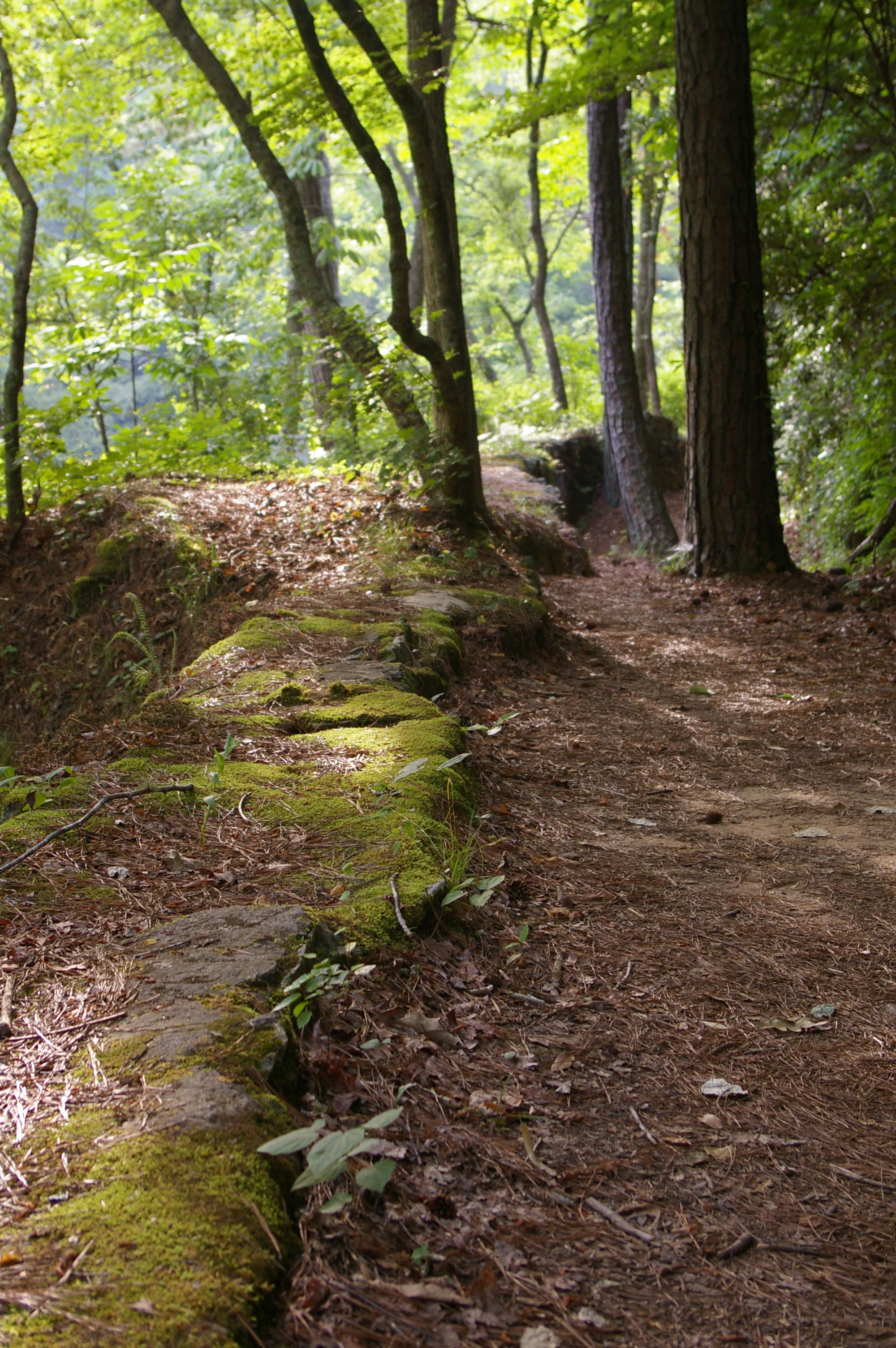
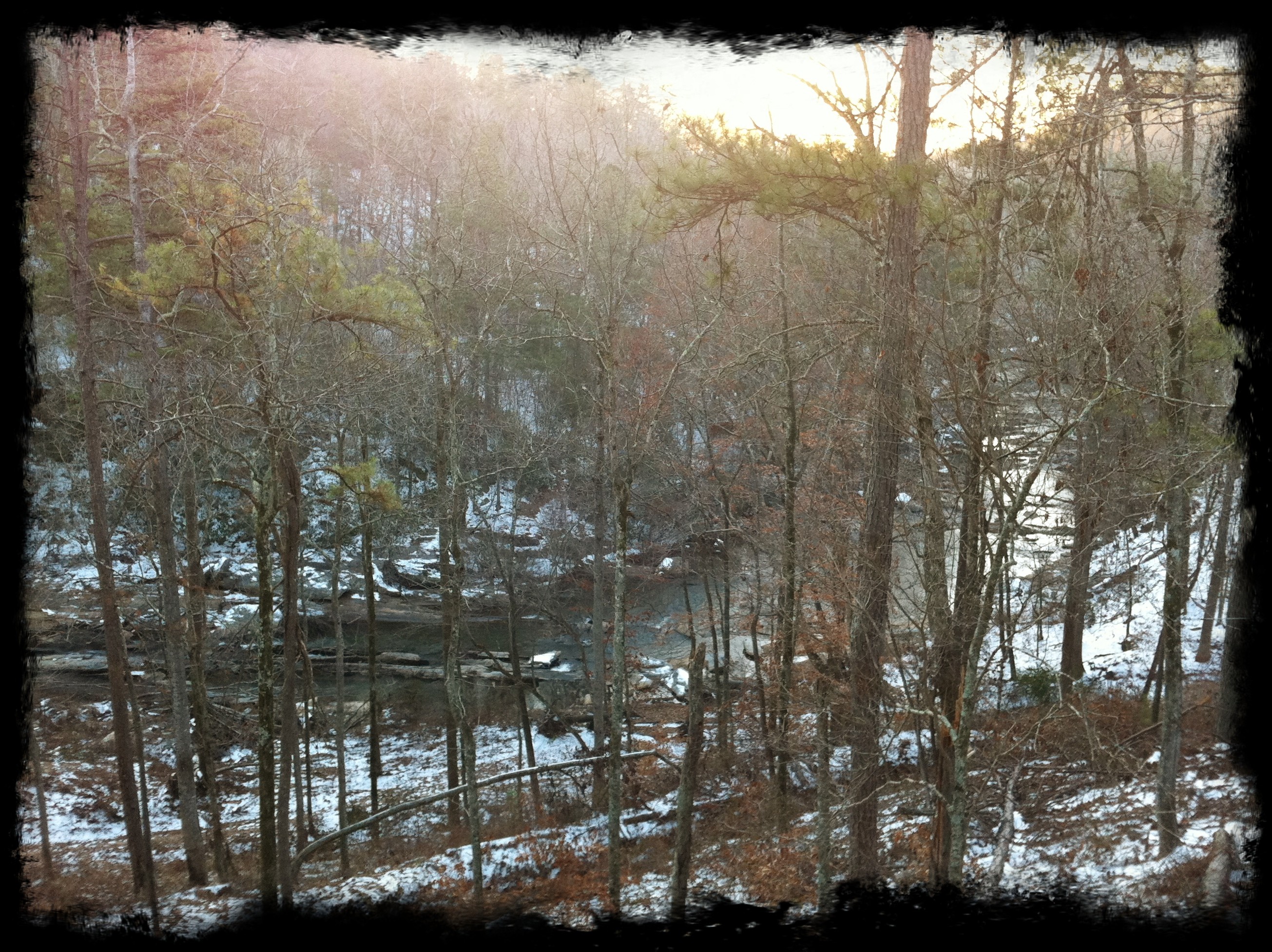
Creekside trail

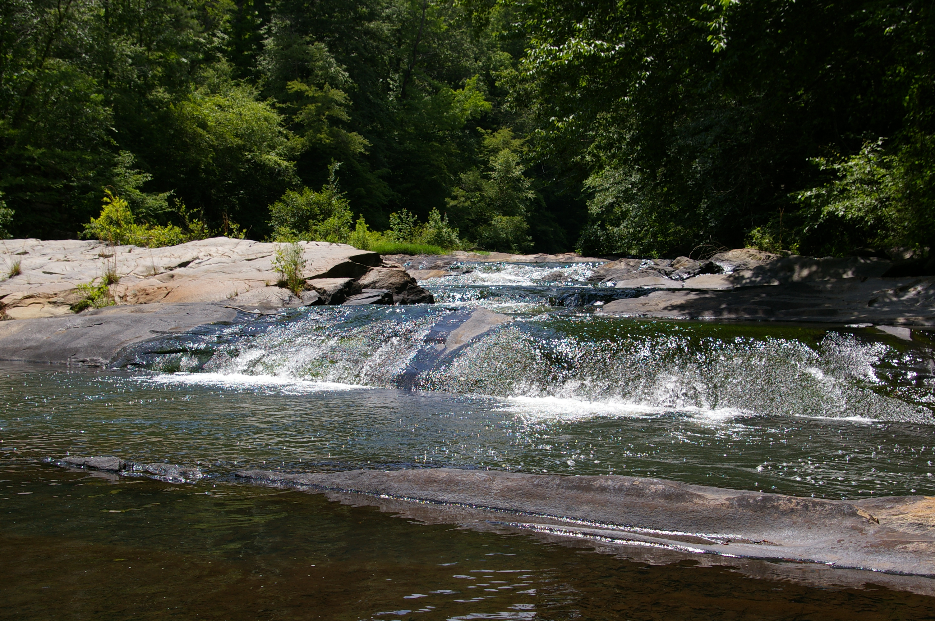
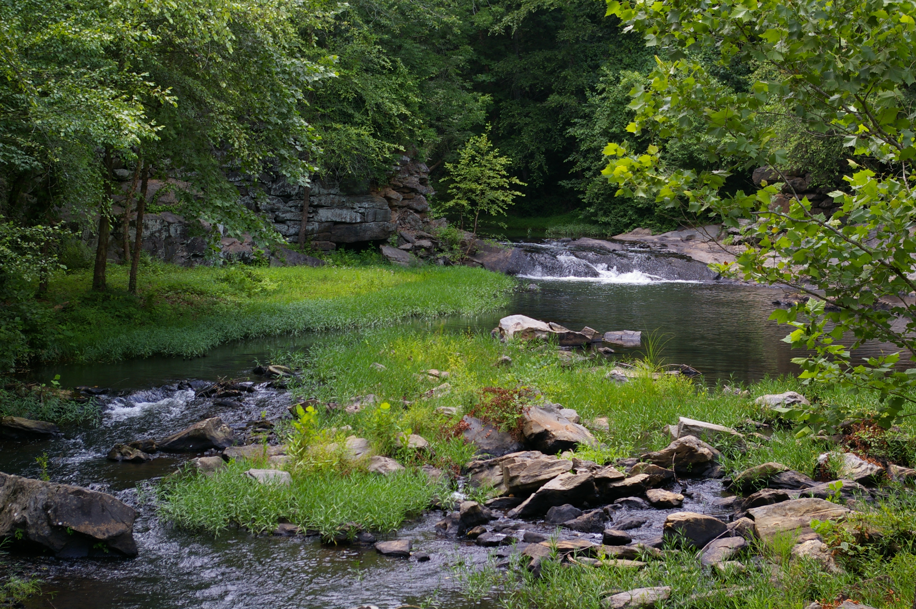
Waterfall at Banning Mill
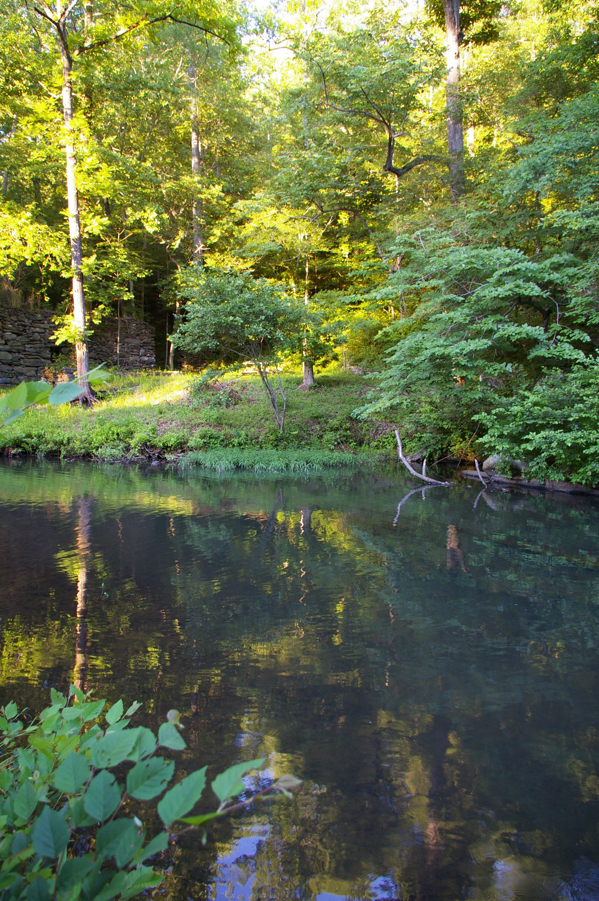
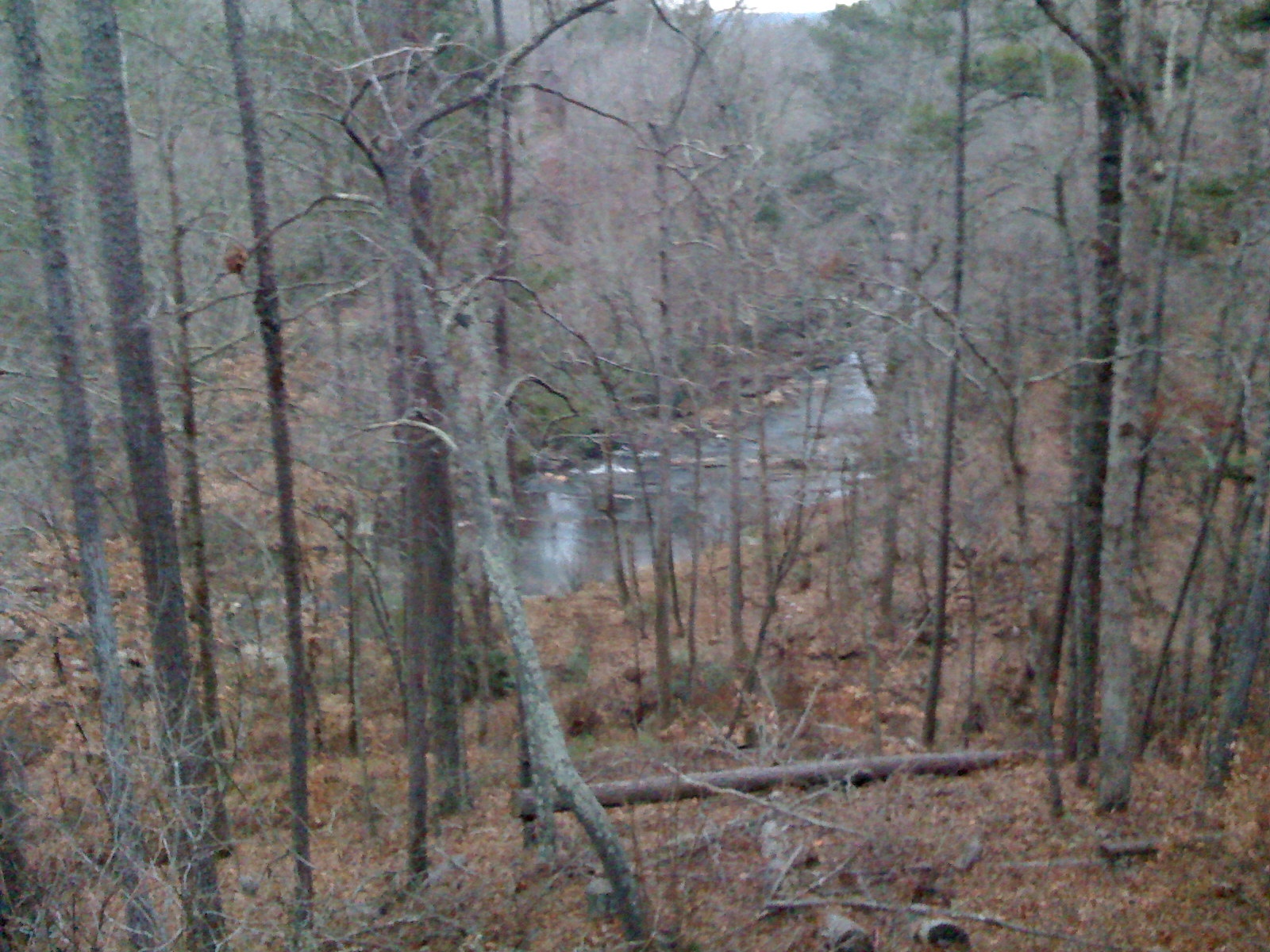
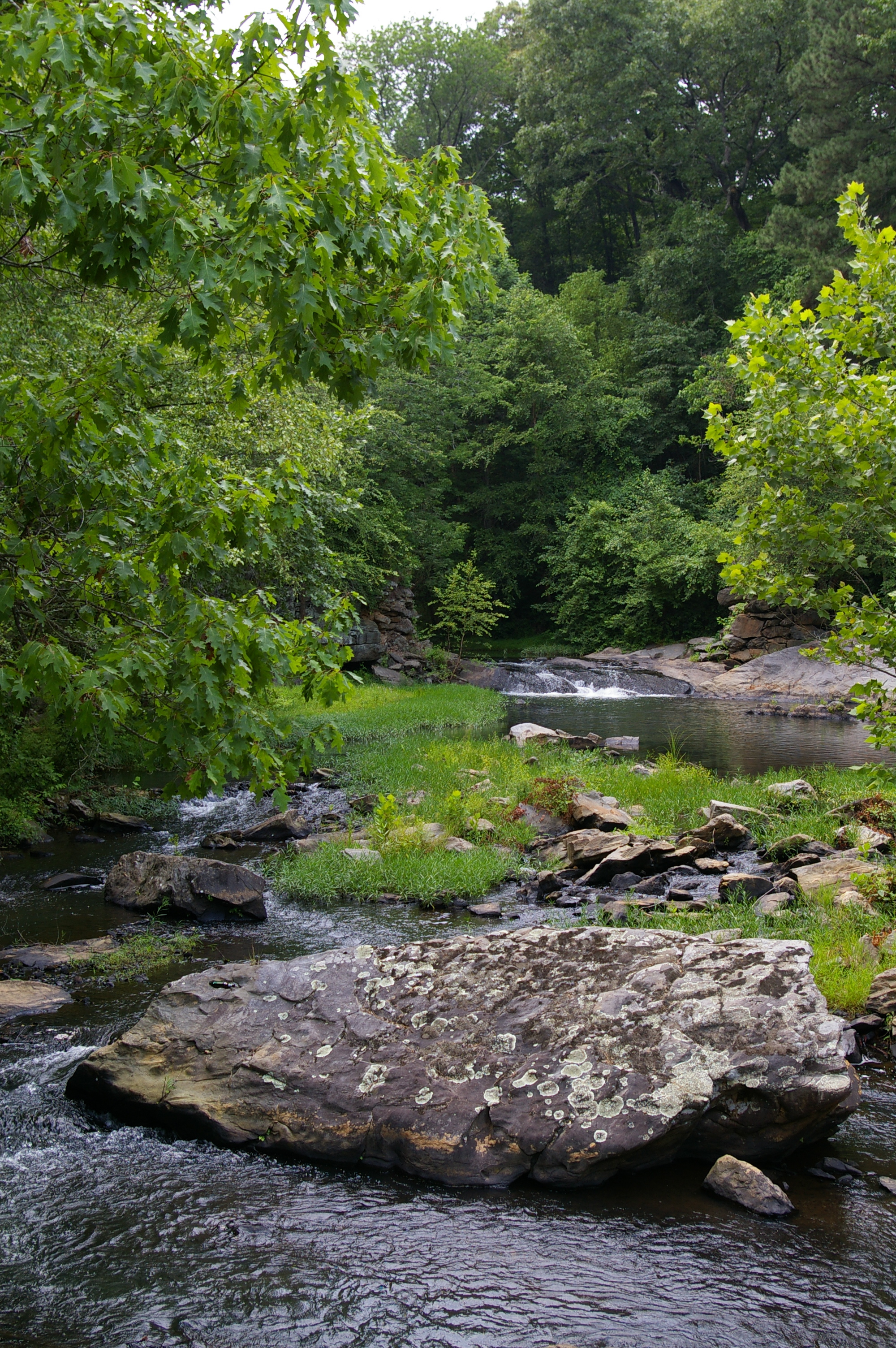
Snake Creek
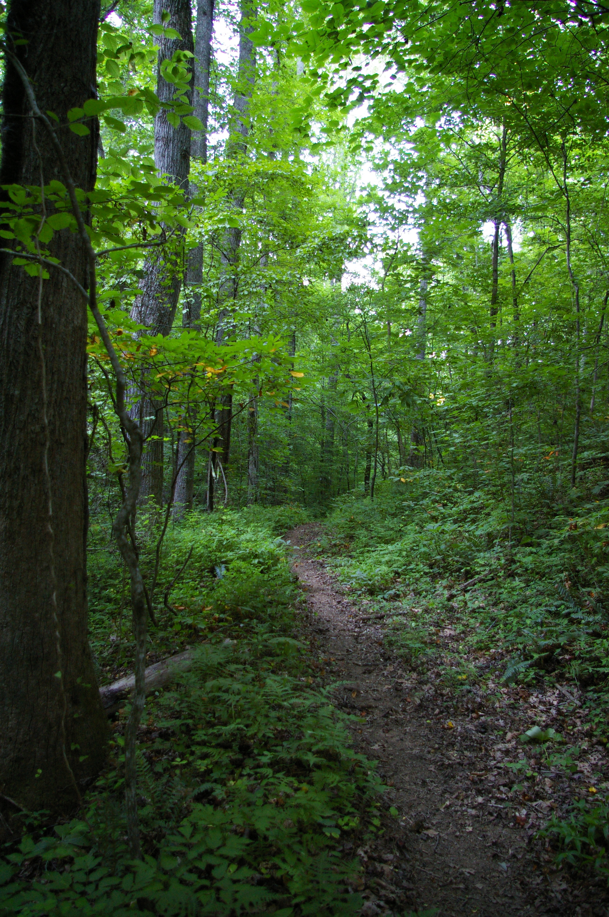
Hiking trail
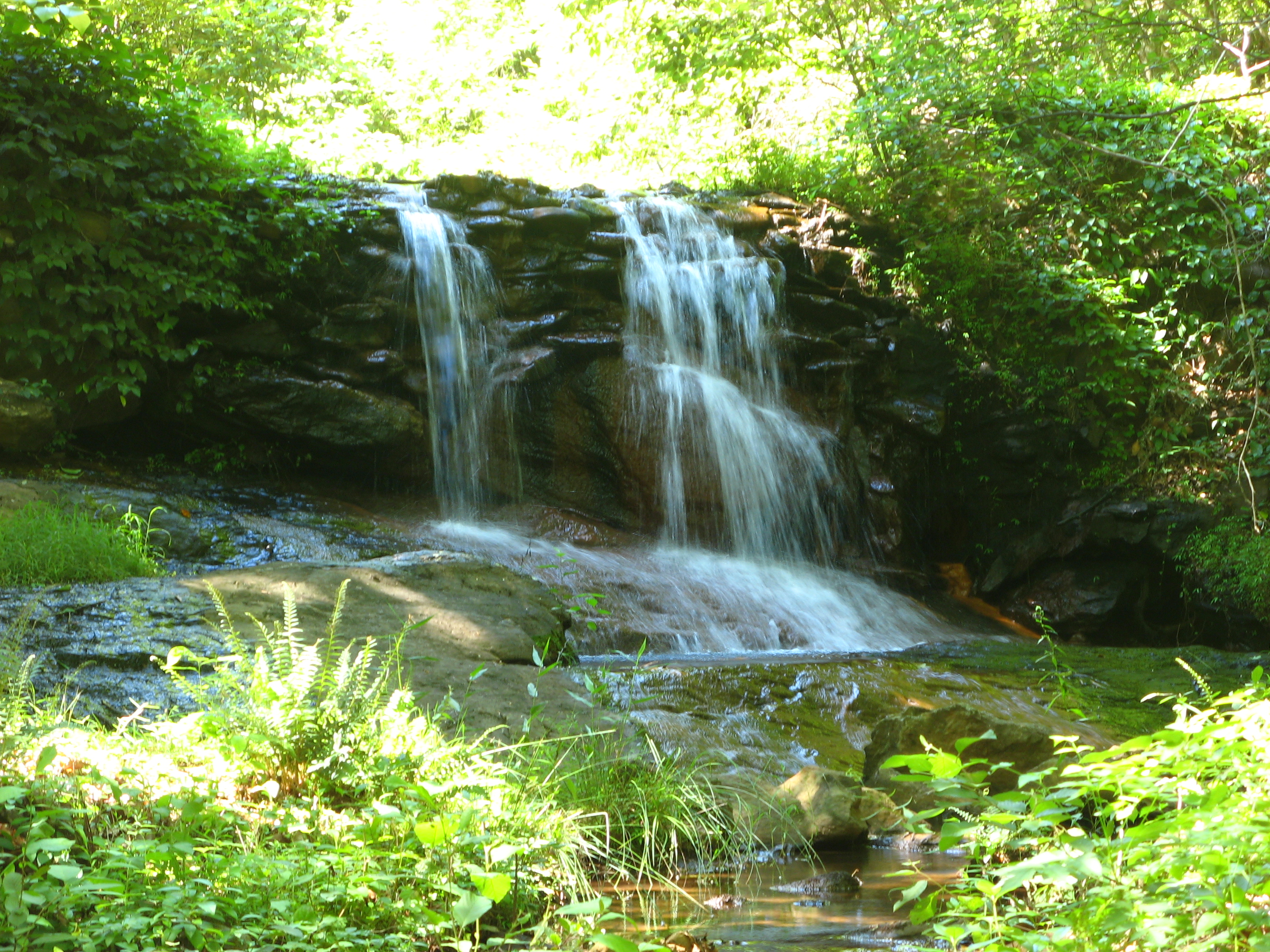
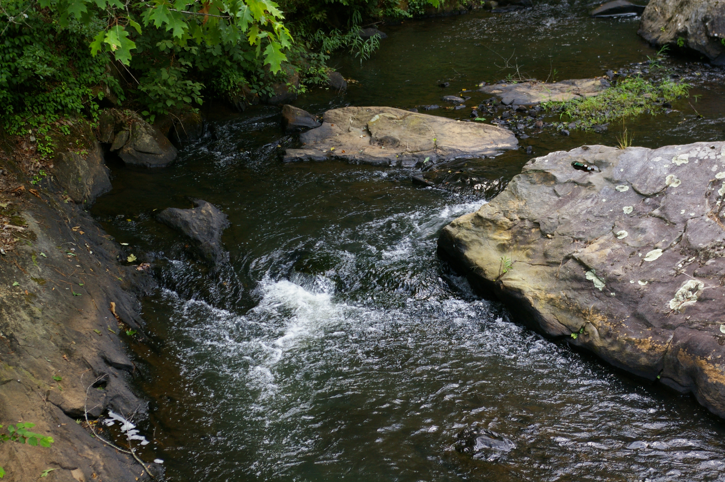
Feeder creek waterfall

Green Belt Walkway
Snake Creek
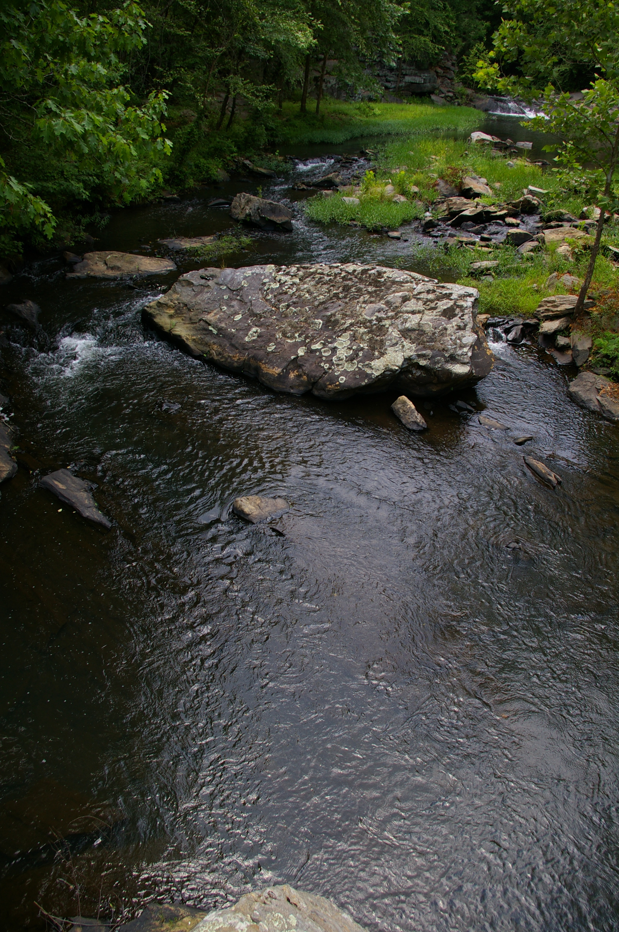
Snake Creek

Buffalo Creek, Carrollton, Georgia
Banner Mills Creek
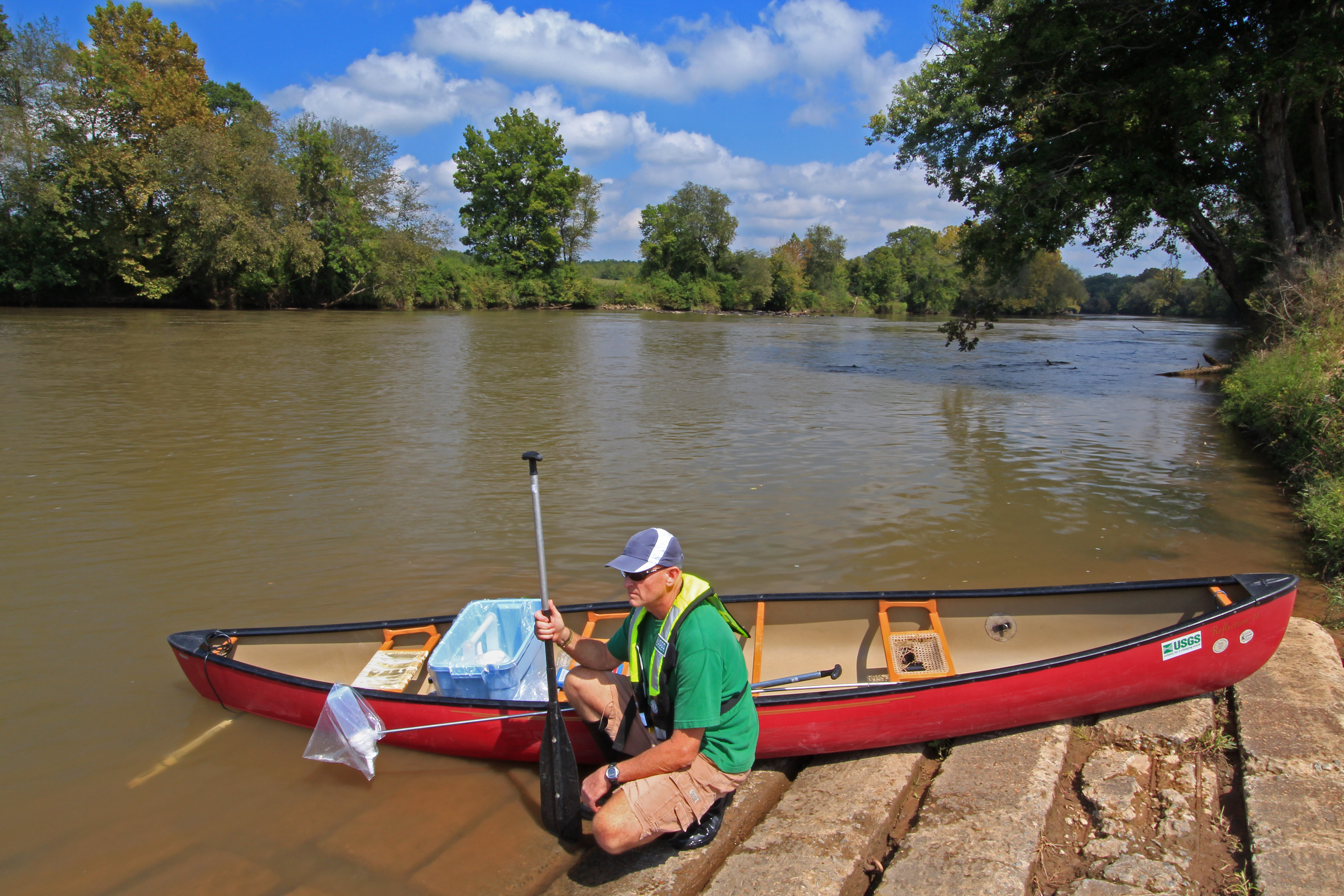
Chattahoochee River, U.S. Geological Survey, NAWQA Program water-quality sample site, Coweta County Riverside Park, near Whitesburg, Coweta and Carroll Counties, Georgia, Alan Cressler 1
Snake Creek
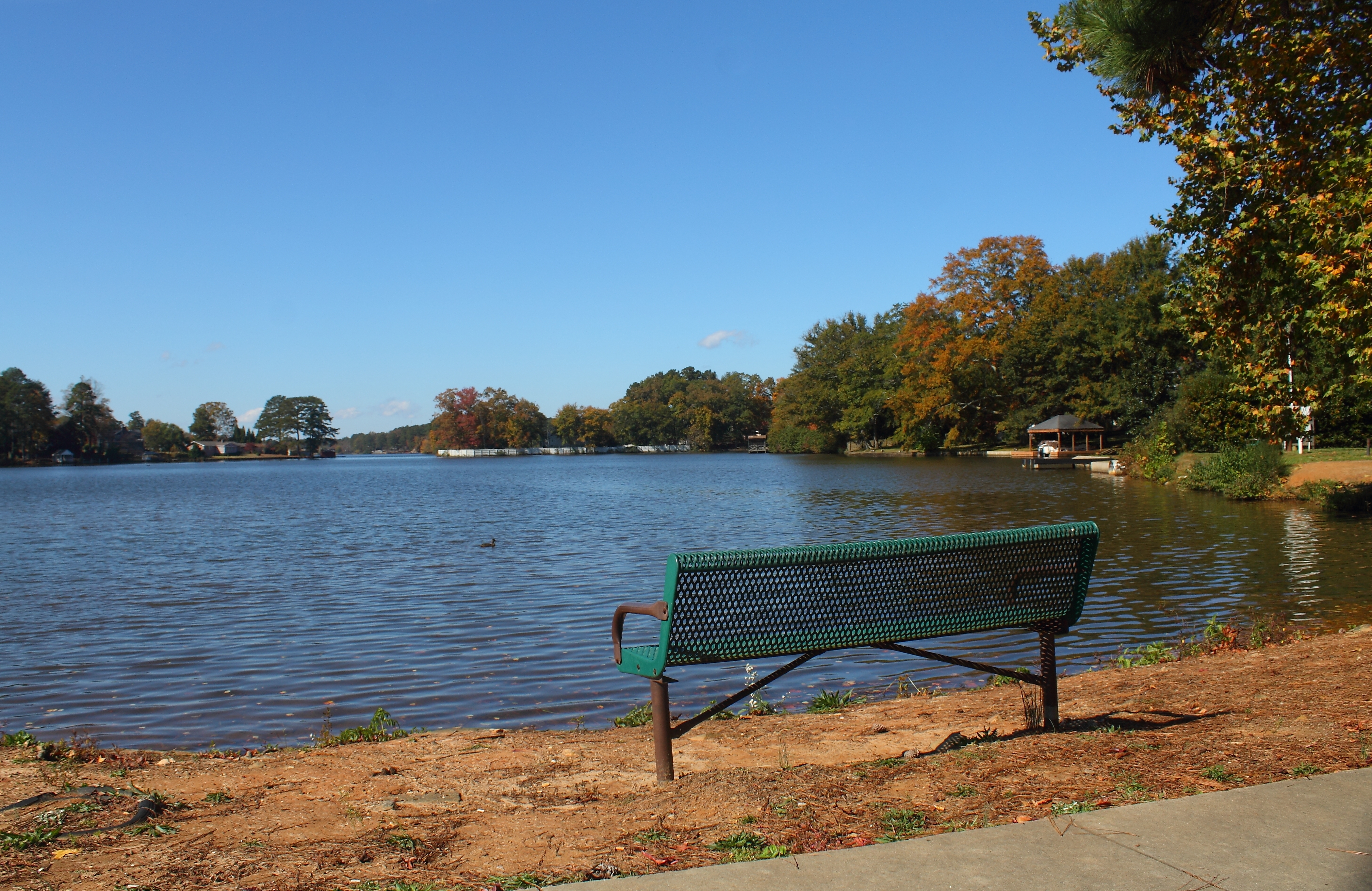
Nice Day At The Lake
Snake Creek
Snake Creek
Snake Creek
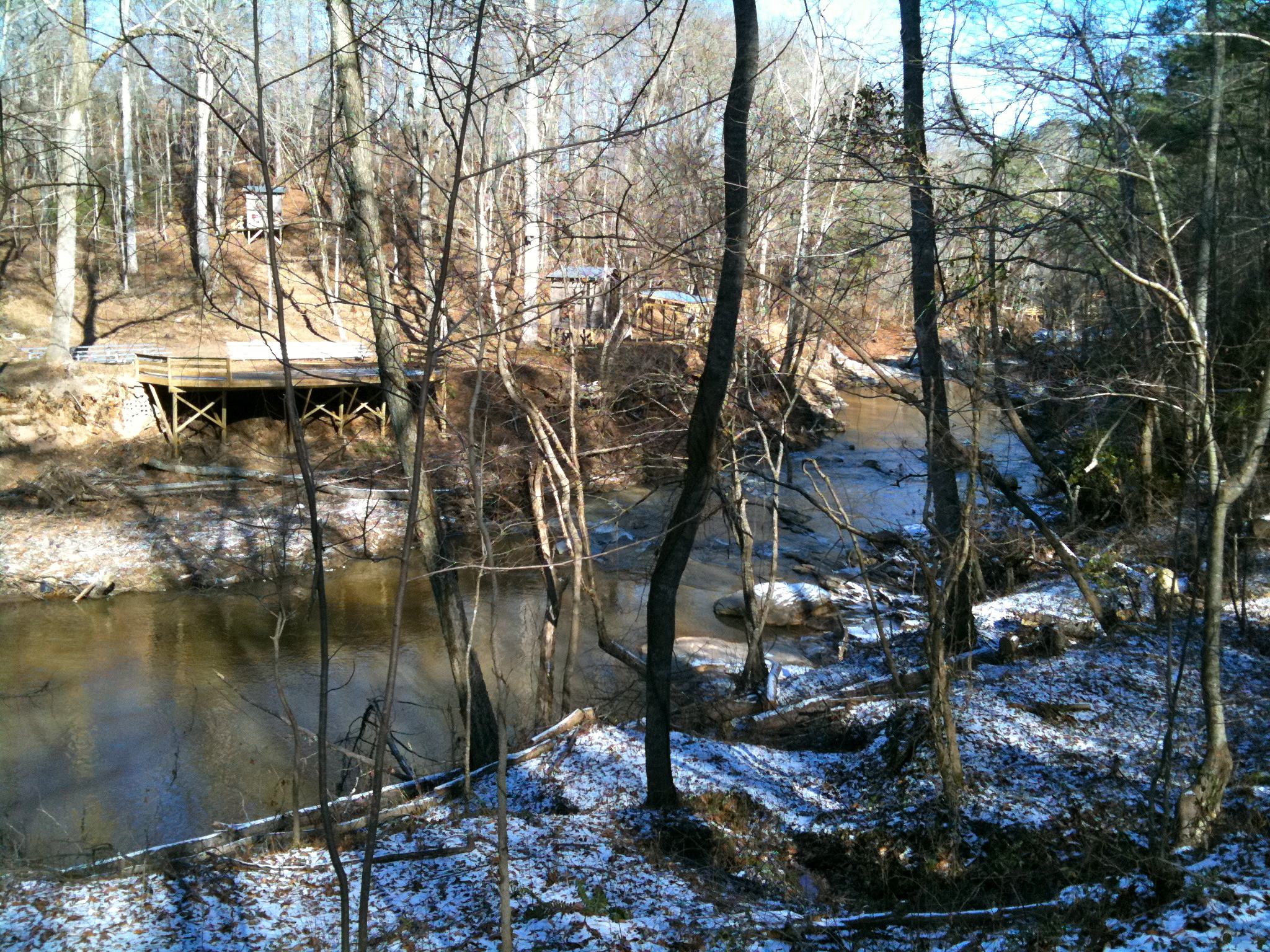
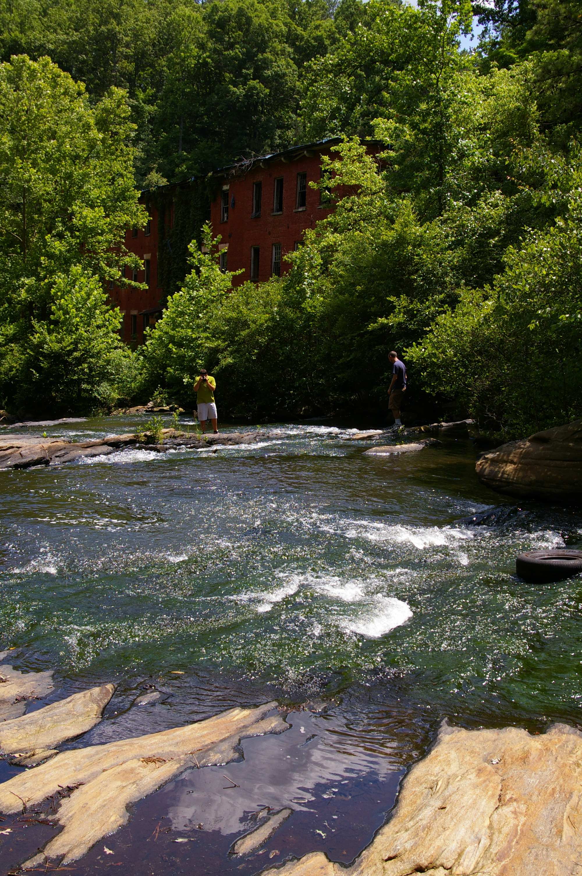
Historic Banning Mills
Chattahoochee Bend State Park - Sept 2011
Topographic Map of 40 Liberty Church Rd, Carrollton, GA, USA
Find elevation by address:

Places near 40 Liberty Church Rd, Carrollton, GA, USA:
1325 Clem Lowell Rd
726 Mount Pleasant Church Rd
259 Laurel Ln
10 Deerfield Rd, Carrollton, GA, USA
Springdale Rd, Carrollton, GA, USA
24 Hunters Glen
844 Payton Rd
Oak Mountain Rd, Carrollton, GA, USA
833 Payton Rd
Carroll County
Oak Mountain Road
304 Champion Dr
935 Oak Mountain Rd
Old 4 Notch Rd, Whitesburg, GA, USA
15 Banning Rd, Whitesburg, GA, USA
Whitesburg
Hutcheson Ferry Rd, Whitesburg, GA, USA
661 Dyer Rd
Henry Bryant Rd, Newnan, GA, USA
45 Hamilton Dr, Newnan, GA, USA
Recent Searches:
- Elevation of Corso Fratelli Cairoli, 35, Macerata MC, Italy
- Elevation of Tallevast Rd, Sarasota, FL, USA
- Elevation of 4th St E, Sonoma, CA, USA
- Elevation of Black Hollow Rd, Pennsdale, PA, USA
- Elevation of Oakland Ave, Williamsport, PA, USA
- Elevation of Pedrógão Grande, Portugal
- Elevation of Klee Dr, Martinsburg, WV, USA
- Elevation of Via Roma, Pieranica CR, Italy
- Elevation of Tavkvetili Mountain, Georgia
- Elevation of Hartfords Bluff Cir, Mt Pleasant, SC, USA